 Outdoor Pitstop
Walking route · Meiningen · Updated on 14 November 2026
Kelten-Erlebnisweg walk
Kelten-Erlebnisweg is a walk of 254.9 km from Meiningen. Along the way you'll find 374 benches, 6 water fountains and refill points, 14 public toilets and 3 bike pumps.
i
i
i
The route step by step
From start to finish, with what you pass along the way and the distance in between.
- 254.9 km
- ± 63:45 h
- ↑ 4,278 m · ↓ 4,258 m
- Hard
- From A to B
- Regional route
Start in Meiningen
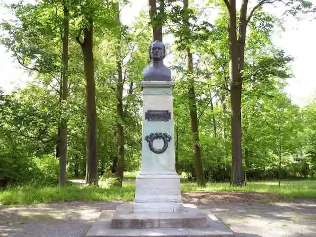
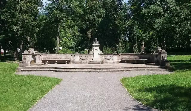
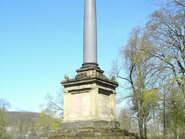
0 kmAt the start: Jean Paul, Johannes Brahms and Kriegerdenkmal 1870/71.
940 m · 11 benches
Water point
940 m14.4 km · 13 benches

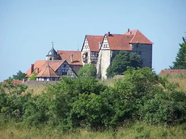
Johanniterburg Kühndorf
15.3 kmCastle
14.3 km · 16 benches
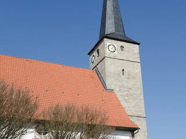
Kirchenburg Vachdorf
29.6 kmCastle
27.8 km · 28 benches
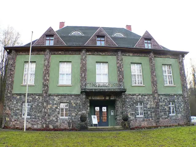
Steinsburgmuseum
57.5 kmMuseum
18.1 km · 19 benches
Public toilet
75.5 km287 m · 5 benches
Nepomuk
75.8 kmPublic toilet and 2 water fountains and refill points
331 m · 6 benches
Archäologisches Museum
76.1 kmPublic toilet and water point
551 m · 5 benches
Johann Wilhelm Rost
76.7 kmPublic toilet
6.5 km · 6 benches
Bike pump
83.2 km7.5 km · 17 benches
Public toilet
90.7 km2 km · bench
Ruine Wildberg
92.7 kmRuins
13.2 km · 3 benches
Schwedenschanze and 1 more
105.9 kmSchwedenschanze and public toilet
4.1 km · bench
Wegsäule and 3 more
110 kmUllrich von Hutten, Götz von Berlichingen and Minnesängerplatz
222 m
Altenburg
110.2 kmRuins
458 m
Hirschfeld und Schwarzkopf and 1 more
110.7 kmSchloß Bettenburg
26.6 km · 29 benches
Hexenturm
137.3 kmPublic toilet
2.7 km · 12 benches
Water point
140 km16.1 km · 28 benches
Schloß Oberschwappach
156.1 kmBike pump
4.4 km · 7 benches
Aussichtsturm am Zabelstein and 1 more
160.4 kmBurgruine Zabelstein
292 m
Public toilet
160.7 km11.7 km · 20 benches
3 public toilets
172.4 km4 km · 5 benches
Bike pump
176.4 km476 m · bench
2 public toilets
176.9 km2.7 km · 5 benches
Water point
179.6 km18.3 km · 16 benches
Burgsstall Oberschloss
197.9 kmCastle
612 m · 3 benches
Schloss Castell
198.5 kmCastle
12.6 km · 22 benches
Burgruine Speckfeld
211 kmCastle
43.9 km · 93 benches
Finish
254.9 kmAt the finish: public toilet.
Longest stretch without a toilet: 77.8 kmBetween 177 km and 254.8 km there is no public toilet within 100 m of the route.
The route with the pitstops and sights within 100 m of it.
26 sights along the way
In the order you pass them. With the Outdoor Pitstop app you hear their story on the spot. 18 more along the route are on the map.
i
Photo: Kramer96 · Wikimedia Commons · CC BY-SA 3.0View the photo on Wikimedia CommonsMemorial · after 0 m
i
Photo: Kramer96 · Wikimedia Commons · CC BY 3.0View the photo on Wikimedia CommonsMemorial · after 43 m
i
Photo: kramer96 · Wikimedia Commons · CC BY-SA 3.0 deView the photo on Wikimedia CommonsMemorial · after 104 m
i
Photo: Sophie von Eichborn · Wikimedia Commons · CC BY-SA 4.0View the photo on Wikimedia CommonsCastle · after 15.3 km
i
Photo: Tilman2007 · Wikimedia Commons · CC BY-SA 3.0View the photo on Wikimedia CommonsCastle · after 29.6 km
i
Photo: Presse03 · Wikimedia Commons · CC BY-SA 4.0View the photo on Wikimedia CommonsMuseum · after 57.5 km
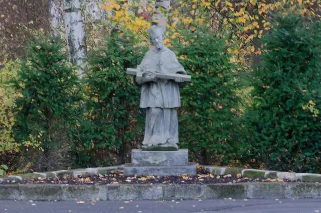
i
Photo: Tilman2007 · Wikimedia Commons · CC BY-SA 3.0View the photo on Wikimedia CommonsMemorial · after 75.9 km

Museum · after 76.1 km
Elevation and terrain
- Up
- ↑ 4,278 m
- Down
- ↓ 4,258 m
- Highest point
- 703 m
- Lowest point
- 223 m
- 5-10% slope · 44.8 km
- 10-15% slope · 1.3 km
- 8 stairs
Elevation from Copernicus GLO-30 (European Union and ESA), smoothed.
produced using Copernicus WorldDEM-30 © DLR e.V. 2010-2014 and © Airbus Defence and Space GmbH 2014-2018 provided under COPERNICUS by the European Union and ESA; all rights reserved
Way types
254.9 km in total- Track: 173.1 km
- Path: 33.1 km
- Street: 25.5 km
- Road: 13.7 km
- Busy road: 4.7 km
- Footpath: 2.4 km
- Cycleway: 1.1 km
- Stairs: 8 stairs
Surfaces
254.9 km in total- Gravel: 62.5 km
- Asphalt: 59.4 km
- Unpaved: 42.1 km
- Paved: 14.7 km
- Natural: 13.4 km
- Unknown: 62.2 km
About the walking route Kelten-Erlebnisweg
Updated on 14 November 2026, with data from OpenStreetMap, the AHN and Copernicus.
Where do you walk?
Kelten-Erlebnisweg is a walking route of 254.9 km that starts in Meiningen. It does not end where it starts. You start in Meiningen and finish in Bad Windsheim. Along the way you pass Jean Paul (after 0 m), Johannes Brahms (after 43 m) and Kriegerdenkmal 1870/71 (after 104 m).
How hard is the route?
You climb 4,278 m in total and descend 4,258 m. There are 8 flights of steps along the way. Allow ± 63:45 h, without breaks. The level is hard.
What paths do you walk on?
The longest part is track (173.1 km), path (33.1 km) and street (25.5 km). Of the surface, 62.5 km gravel and 59.4 km asphalt. For 62.2 km the surface is not known.
Pitstops along the way
Within 100 metres of the route there are 374 benches, 6 water fountains and refill points, 14 public toilets and 3 bike pumps. You can fill your bottle after 940 m, after 75.8 km, after 76.2 km, after 140 km and after 179.6 km. The longest stretch without a toilet is 77.8 km. The Outdoor Pitstop app navigates you there.
Walks nearby
6- Werra-Burgen-Steig Teilstrecke Süd-OstHard · From A to B92.2 km
- Werra-Burgen-Steig Teilstrecke Mitte-SüdHard · From A to B74.9 km
- Via Romea - Deutschland - ThüringenHard · From A to B186.2 km
- Rhön-Rennsteig-WegHard · From A to B97.5 km
- RöhntropfenEasy · From A to B1.3 km
- Hohe StraßeHard · From A to B26.5 km
Sights nearby
Within 10 km of the route, best known first.
- 1
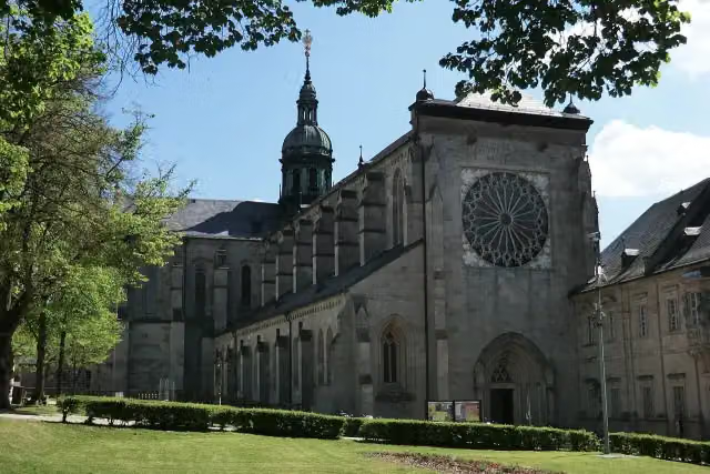 Kloster EbrachAttraction · 700 m from the route
- 2
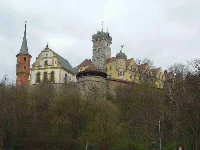 Schloss SchwarzenbergCastle · 9.5 km from the route
- 3
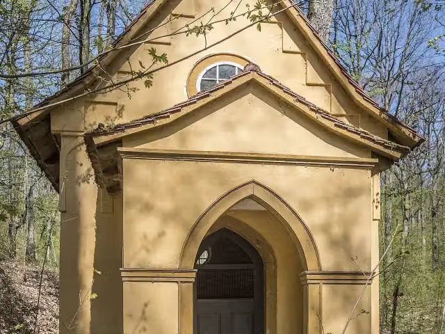 TotenkapelleMemorial · 97 m from the route
- 4
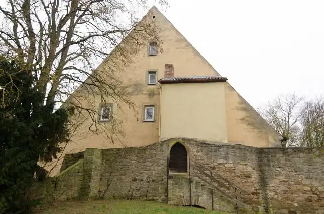 Sulzfelder SchlossCastle · 102 m from the route
- 5
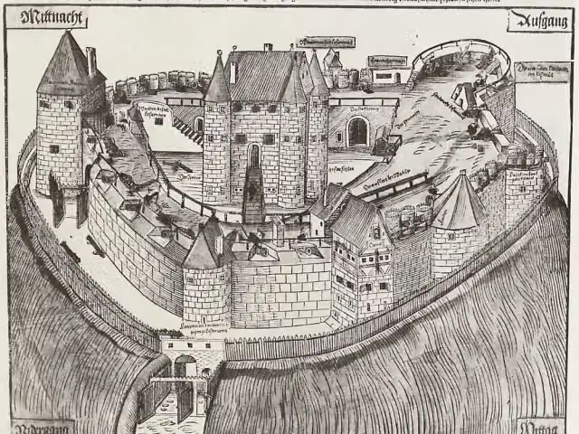 Burgruine HohenlandsbergCastle · 118 m from the route
- 6
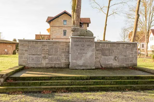 MemorialMemorial · 119 m from the route
- 7
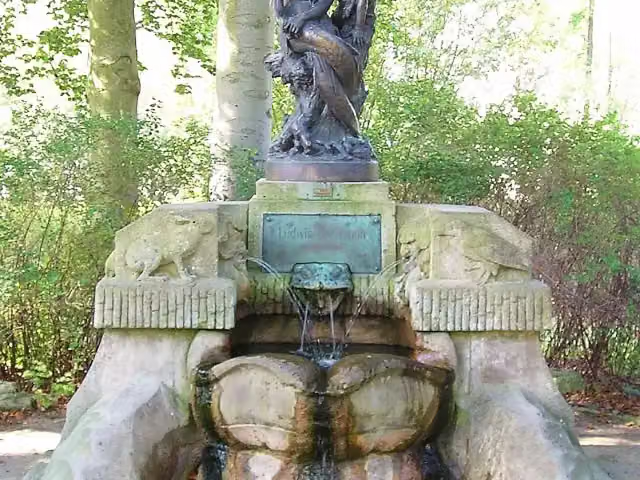 BechsteinbrunnenAttraction · 124 m from the route
- 8
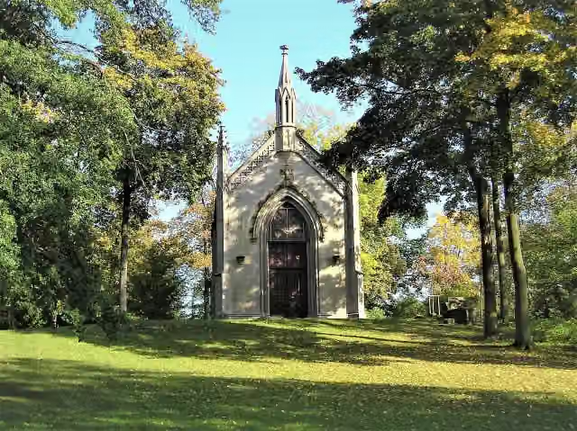 Herzogliche GruftkapelleAttraction · 129 m from the route
- 9
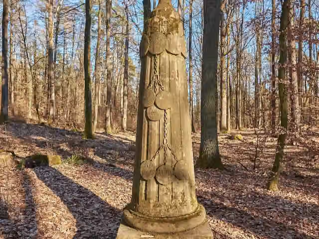 GeschwisterliebeMemorial · 133 m from the route
- 10
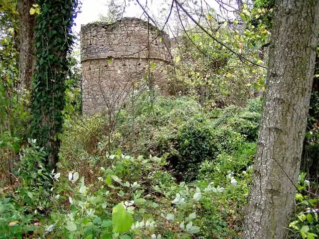 Burgruine HinterfrankenbergCastle · 179 m from the route
- 11
 Staatstheater MeiningenAttraction · 201 m from the route
- 12
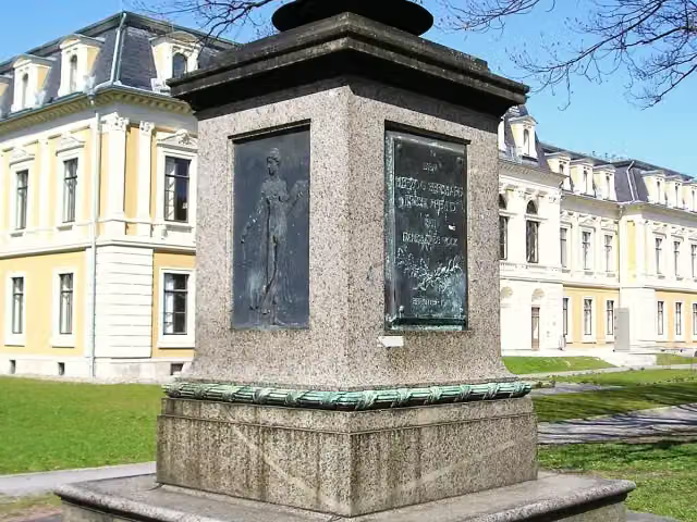 Herzog Bernhard II.Memorial · 239 m from the route
- 13
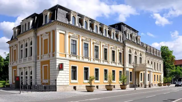 Großes PalaisAttraction · 247 m from the route
- 14
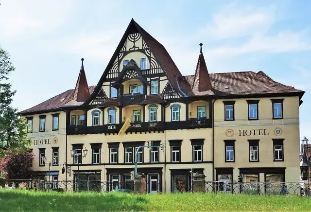 Sächsischer HofAttraction · 299 m from the route
- 15
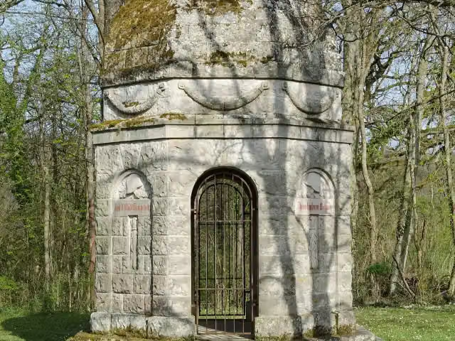 MemorialMemorial · 306 m from the route
- 16
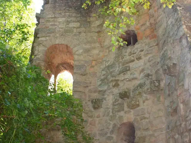 Burgruine StollburgCastle · 308 m from the route
- 17
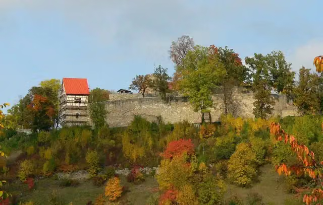 Burg KönigsbergAttraction · 319 m from the route
- 18
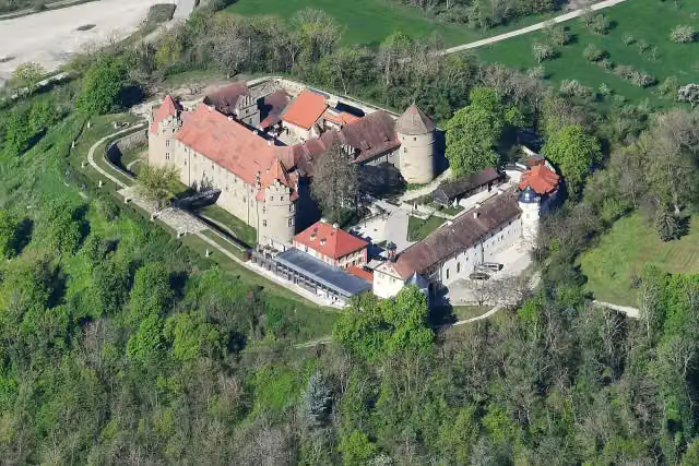 Schloss FrankenbergCastle · 357 m from the route
- 19
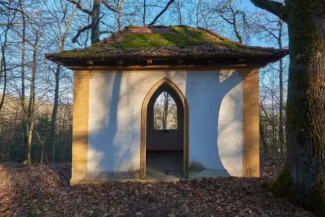 DichterhausMemorial · 383 m from the route
- 20
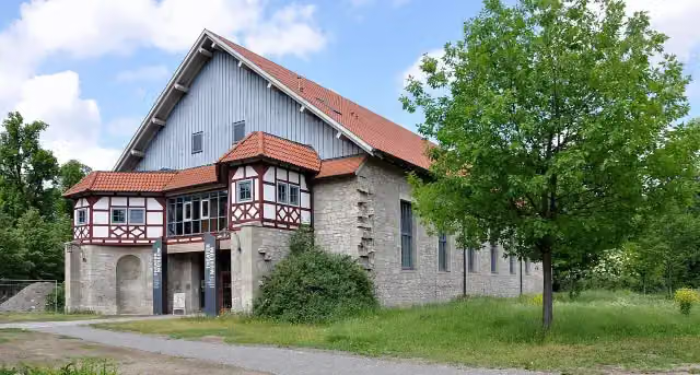 TheatermuseumMuseum · 428 m from the route
- 21
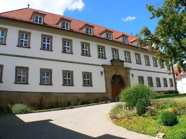 Schloss BirnfeldCastle · 468 m from the route
- 22
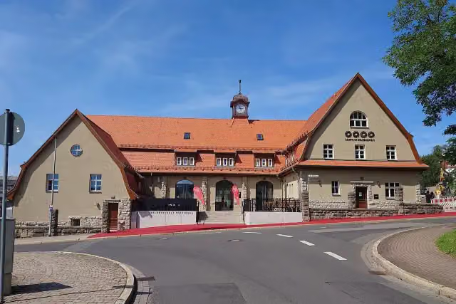 Dampflok Erlebniswelt MeiningenMuseum · 495 m from the route
- 23
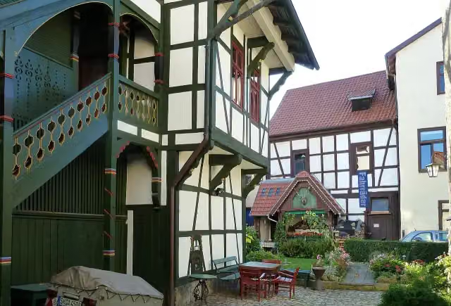 Büchnersches HinterhausAttraction · 498 m from the route
- 24
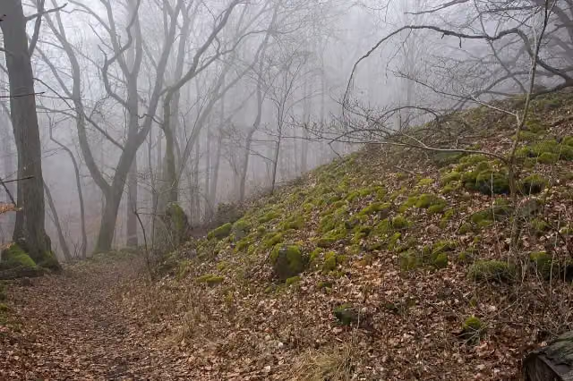 SteinsburgArchaeological site · 524 m from the route
- 25
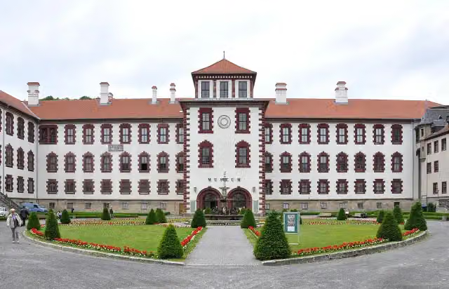 CastleCastle · 525 m from the route
Explore more
More walks around Meiningen
Frequently asked questions
How long is Kelten-Erlebnisweg?
Kelten-Erlebnisweg is 254.9 km long. Allow ± 63:45 h of walking: 4.5 km an hour and 10 minutes more per 100 metres of climbing, without breaks.
Is this route a circular walk?
No, the route runs from Meiningen to Bad Windsheim.
Where does this route start?
The route starts in Meiningen.
How hard is this route?
Hard, with 4,278 m of climbing.
Are there toilets along this route?
Yes, there are 14 public toilets within 100 m of the route. The longest stretch without a toilet is 77.8 km.
Can you fill up with water along this route?
Yes, there are 6 water fountains and refill points within 100 m of the route.
What is there to see along this route?
Along the way you pass Jean Paul, Johannes Brahms and Kriegerdenkmal 1870/71.
Can I download this route as a GPX file?
Yes. Sign in with your Outdoor Pitstop account and choose Download GPX at the top of this page: 10 routes a month for free, unlimited with Pro.
Starting point
More routes from this place
Route data © OpenStreetMap contributors





