 Outdoor Pitstop
Walking route · Oudewater · Updated on 14 November 2026
Klompenpad Benedeneindsepad walk
Klompenpad Benedeneindsepad is a walk of 7.8 km from Oudewater that starts and ends at the same spot. Along the way you'll find 4 benches.
The route step by step
From start to finish, with what you pass along the way and the distance in between.
- 7.8 km
- ± 1:45 h
- ↑ 0 m · ↓ 0 m
- Easy
- Circular walk
- Local route
This route is in pieces in OpenStreetMap, so there are no kilometres per pitstop. Along the way you'll find 4 benches.
Follow these steps in the appNo public toilet along the wayThere is no public toilet within 100 m of the route. Go before you start, or find one a bit further away in the app.
The route with the pitstops and sights within 100 m of it.
1 sight along the way
In the order you pass them. With the Outdoor Pitstop app you hear their story on the spot.

Observation tower
Elevation and terrain
- Up
- ↑ 0 m
- Down
- ↓ 0 m
- Highest point
- -1 m
- Lowest point
- -2 m
Nowhere steeper than 5%.
Elevation from AHN (Rijkswaterstaat), smoothed.
Way types
7.8 km in total- Path: 6.9 km
- Road: 675 m
- Street: 150 m
- Footpath: 25 m
Surfaces
7.8 km in total- Natural: 6.8 km
- Asphalt: 725 m
- Paved: 100 m
- Unknown: 100 m
About the walking route Klompenpad Benedeneindsepad
Updated on 14 November 2026, with data from OpenStreetMap, the AHN and Copernicus.
Where do you walk?
Klompenpad Benedeneindsepad is a circular walk of 7.8 km from Oudewater: it starts and ends in the same place.
How hard is the route?
The route is almost flat. You climb 0 m in total and descend 0 m. Allow ± 1:45 h, without breaks. The level is easy.
What paths do you walk on?
The longest part is path (6.9 km), road (675 m) and street (150 m). Of the surface, 6.8 km natural and 725 m asphalt. For 100 m the surface is not known.
Pitstops along the way
Within 100 metres of the route there are 4 benches. There is no public toilet within 100 metres of the route. The Outdoor Pitstop app navigates you there.
Benedeneindsepad: a local 7.8 km walking route
The Benedeneindsepad klompenpad walk is a local walking route of 7.8 km. It is a circular route, so you start and finish in the same place. There is no need to walk back or arrange a second means of transport. The map of the route is shown on this page, along with the elevation profile, so you know in advance how the route runs. The pit stops along the way are marked too, including public toilets, drinking water and benches. This helps you plan your klompenpad Benedeneindsepad walk and know where you can take a break.
Mostly unpaved path underfoot
This walk is largely on natural ground: 89% of its 7.8 kilometres. That share is also path, so you walk almost the whole route on paths rather than along the road. The remaining 9% of the route is tarmac, on ordinary roads. After rain, an unpaved path can be soft or muddy, so sturdy shoes are a good idea.
Along the way: pit stops and a lookout tower
Along the way you will find 4 benches. There you can sit for a moment, have a drink and take in the surroundings at your leisure. A lookout tower also stands along the route. From the tower you look out over the landscape around you. Stopping at the tower and the benches helps you walk the route at a relaxed pace.
Walks nearby
6- Hollandse IJsselpad deel 1Hard · From A to B38.3 km
- Groene Hartpad - 07a - Variant broedseizoenEasy · From A to B4.9 km
- Groene Hartpad - 02 BroedseizoenHard · From A to B23.8 km
- Groene Hartpad - 2Hard · From A to B23.9 km
- Benedeneindsepad aanlooprouteEasy · From A to B1.4 km
- Floris V-pad - 5Moderate · From A to B12.2 km
Sights nearby
Within 10 km of the route, best known first.
- 1
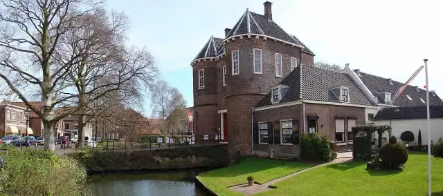 Kasteel MontfoortCastle · 3.2 km from the route
- 2
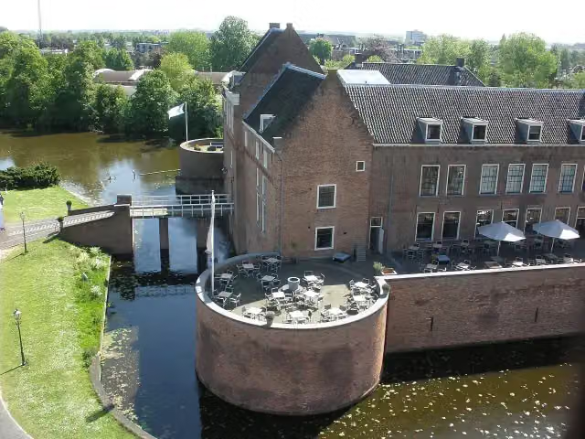 Kasteel van WoerdenCastle · 8.2 km from the route
- 3
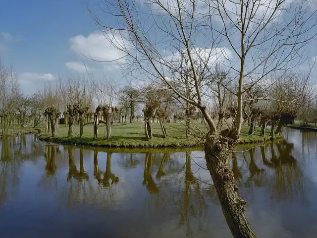 KoeneschansFort · 7 km from the route
- 4
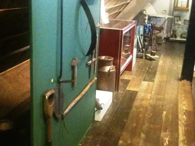 Museum WarsenhoeckMuseum · 9.9 km from the route
- 5
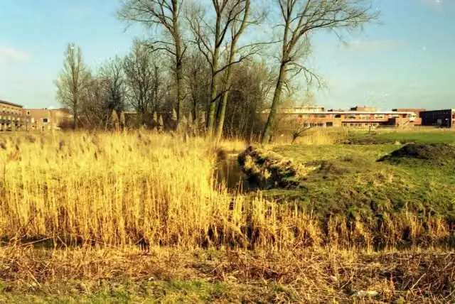 Kasteel NijeveltArchaeological site · 9 km from the route
- 6
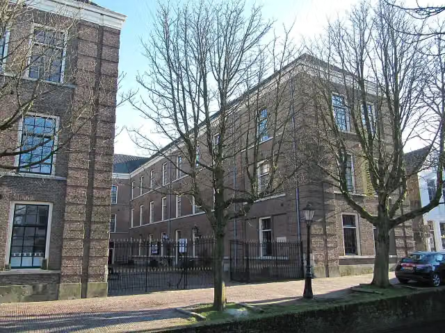 Nederlands Zilvermuseum SchoonhovenMuseum · 7.4 km from the route
- 7
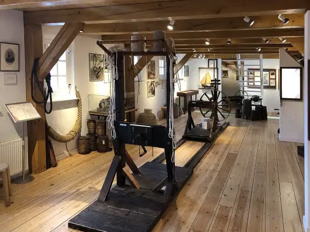 Touwmuseum 'De Baanschuur'Museum · 3.2 km from the route
- 8
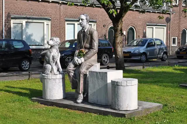 Familieportret, Joods monumentMemorial · 8.1 km from the route
- 9
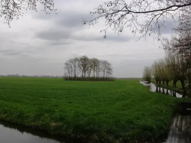 SchurenburgArchaeological site · 5.4 km from the route
- 10
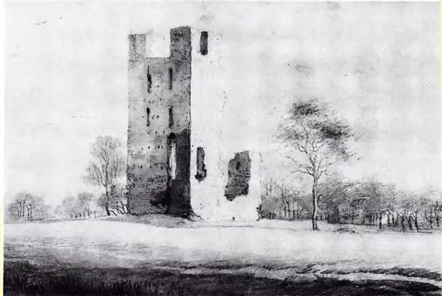 Huis te VlietAttraction · 4 km from the route
- 11
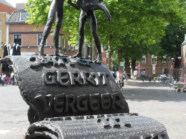 Drukkers in verzetMemorial · 8.4 km from the route
- 12
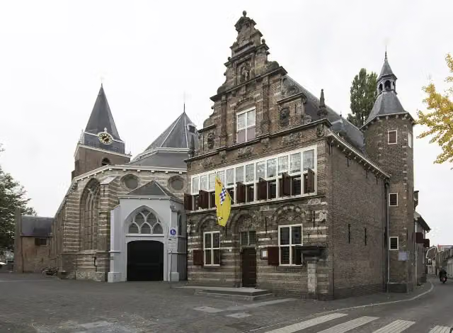 Stadsmuseum WoerdenMuseum · 8.4 km from the route
- 13
 Observation towerObservation tower · 1.6 km from the route
- 14De PolleArchaeological site · 5.2 km from the route
- 15Museum IJsselsteinMuseum · 7.4 km from the route
- 16WierickewachterObservation tower · 9.5 km from the route
- 17Observation towerObservation tower · 9.8 km from the route
Explore more
Frequently asked questions
How long is the klompenpad Benedeneindsepad walk?
The Benedeneindsepad is 7.8 km long. It is a walking route.
Is the Benedeneindsepad a circular walk?
Yes, the Benedeneindsepad is a circular route. You start and finish at the same place.
Is the Benedeneindsepad a klompenpad walk?
That isn't stated in the details, but it is a local walking route of 7.8 km. On the page you will find the map, the elevation profile and the pit stops along the way.
How many benches are there along the klompenpad Benedeneindsepad walk?
There are 4 benches along the route, so you can take a break along the way.
What is the surface of the klompenpad Benedeneindsepad walk?
89% of the route is natural surface and 9% is asphalt. It is a path for 89% and a road for 9%.
Is there a lookout tower along the Benedeneindsepad?
Yes, a lookout tower stands along the route.
Starting point
More routes from this place
Route data © OpenStreetMap contributors





