 Outdoor Pitstop
Walking route · Berlin · Updated on 14 November 2026
Grüner Balken Ahrensfelde - Groß Schönebeck walk
Grüner Balken Ahrensfelde - Groß Schönebeck is a walk of 74.4 km from Berlin. Along the way you'll find 88 benches, 2 public toilets and 2 bike pumps.
i
i
The route step by step
From start to finish, with what you pass along the way and the distance in between.
- 74.4 km
- ± 16:55 h
- ↑ 208 m · ↓ 215 m
- Hard
- From A to B
- Regional route
Start in Berlin
0 kmAt the start: public toilet.
864 m · 8 benches

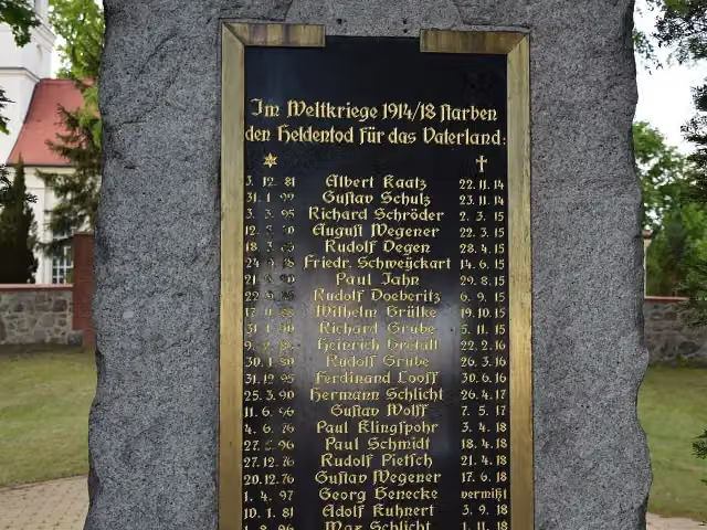
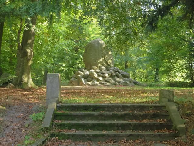
Kriegerdenkmal
864 mMemorial
15 km · 13 benches
Public toilet and bike pump
15.8 km32.8 km · 41 benches
Bike pump
48.6 km25.6 km · 20 benches
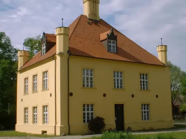
Jagdschloss Groß Schönebeck
74.2 kmMuseum
186 m · bench
Finish
74.4 km
Longest stretch without a toilet: 58.6 kmBetween 15.9 km and 74.4 km there is no public toilet within 100 m of the route.
The route with the pitstops and sights within 100 m of it.
2 sights along the way
In the order you pass them. With the Outdoor Pitstop app you hear their story on the spot.
Memorial · after 864 m
i
Photo: Doris Antony, Berlin · Wikimedia Commons · CC BY-SA 3.0View the photo on Wikimedia CommonsMuseum · after 74.2 km
Elevation and terrain
- Up
- ↑ 208 m
- Down
- ↓ 215 m
- Highest point
- 106 m
- Lowest point
- 41 m
Nowhere steeper than 5%.
Elevation from Copernicus GLO-30 (European Union and ESA), smoothed.
produced using Copernicus WorldDEM-30 © DLR e.V. 2010-2014 and © Airbus Defence and Space GmbH 2014-2018 provided under COPERNICUS by the European Union and ESA; all rights reserved
Way types
74.4 km in total- Track: 51 km
- Street: 12.4 km
- Busy road: 3.3 km
- Road: 3.2 km
- Path: 2.5 km
- Footpath: 1.9 km
Surfaces
74.4 km in total- Asphalt: 21.1 km
- Unpaved: 18.4 km
- Gravel: 12 km
- Paved: 11.7 km
- Natural: 10.1 km
- Unknown: 1.1 km
About the walking route Grüner Balken Ahrensfelde - Groß Schönebeck
Updated on 14 November 2026, with data from OpenStreetMap, the AHN and Copernicus.
Where do you walk?
Grüner Balken Ahrensfelde - Groß Schönebeck is a walking route of 74.4 km that starts in Berlin. It does not end where it starts. You start in S- Bahnhof Ahrensfelde and finish in Groß Schönebeck Liebenwalder Straße. Along the way you pass Kriegerdenkmal (after 864 m) and Jagdschloss Groß Schönebeck (after 74.2 km).
How hard is the route?
You climb 208 m in total and descend 215 m. Allow ± 16:55 h, without breaks. The level is hard.
What paths do you walk on?
The longest part is track (51 km), street (12.4 km) and busy road (3.3 km). Of the surface, 21.1 km asphalt and 18.4 km unpaved. For 1.1 km the surface is not known.
Pitstops along the way
Within 100 metres of the route there are 88 benches, 2 public toilets and 2 bike pumps. The longest stretch without a toilet is 58.6 km. The Outdoor Pitstop app navigates you there.
Walks nearby
4- Jakobsweg Via Imperii SzczecinPL- BerlinDEHard · From A to B184.7 km
- JW Brandenburg Nordroute (FF/O - Muencheberg - Berlin)Hard · From A to B112.6 km
- JW Brandenburg Nebenroute Nordroute (FF/O - Muencheberg - Berlin)Easy · From A to B8.2 km
- Europäischer Fernwanderweg E11, Brandenburg (O)Hard · From A to B134.5 km
Sights nearby
Within 10 km of the route, best known first.
- 1
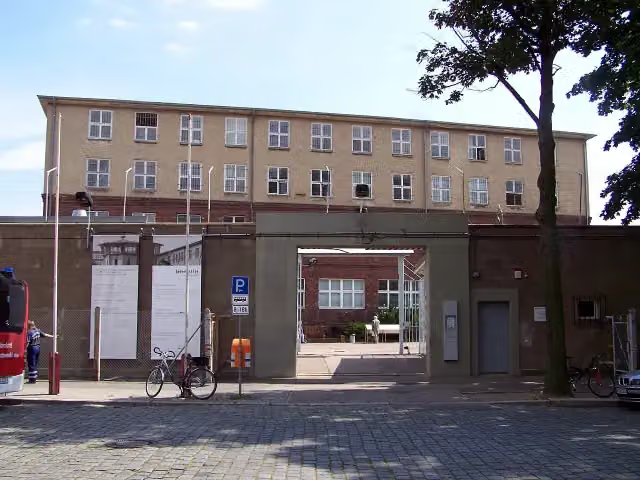 Memorial Berlin-HohenschönhausenMuseum · 5.5 km from the route
- 2
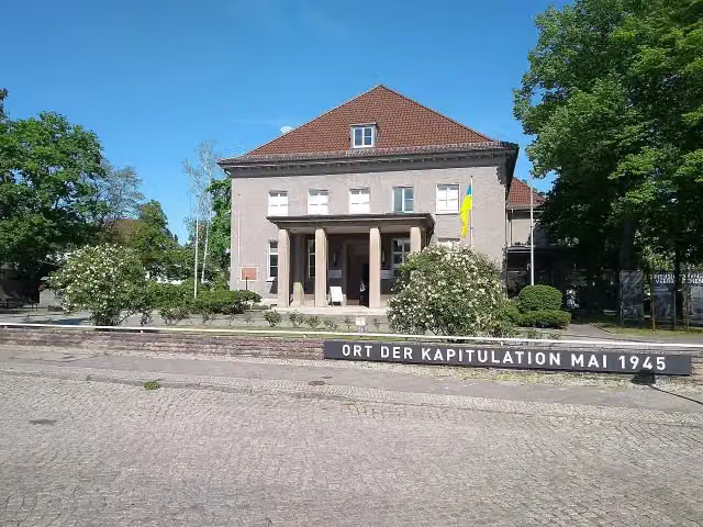 Museum Berlin-KarlshorstMuseum · 9.7 km from the route
- 3
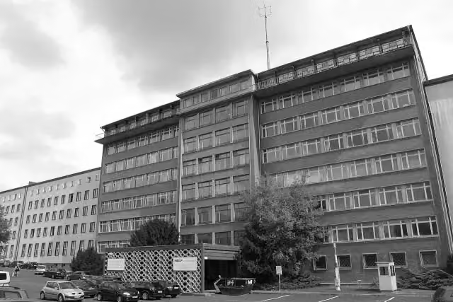 Stasi MuseumMuseum · 8.3 km from the route
- 4
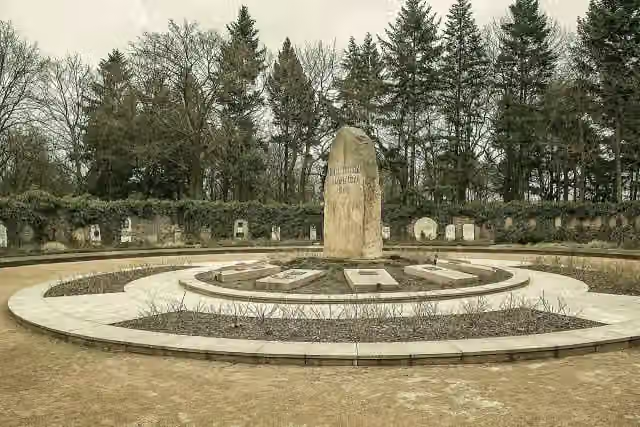 Memorial to the SocialistsAttraction · 7.4 km from the route
- 5
 Mikojan-Gurewitsch MiG-17 „Fresco-C“Attraction · 7.7 km from the route
- 6
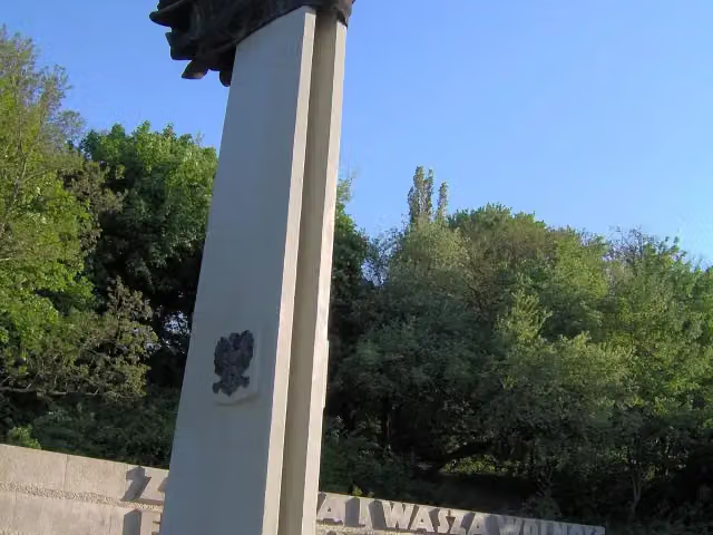 Memorial to Polish Soldiers and German Anti-FascistsMonument · 10 km from the route
- 7
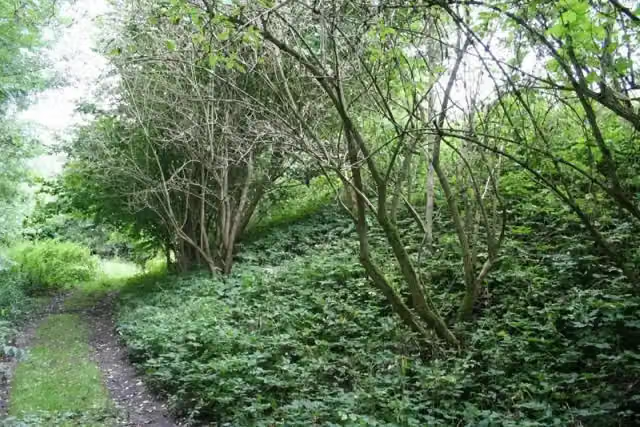 Burg BiesenthalCastle · 145 m from the route
- 8
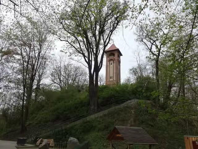 Kaiser-Friedrich-TurmObservation tower · 147 m from the route
- 9
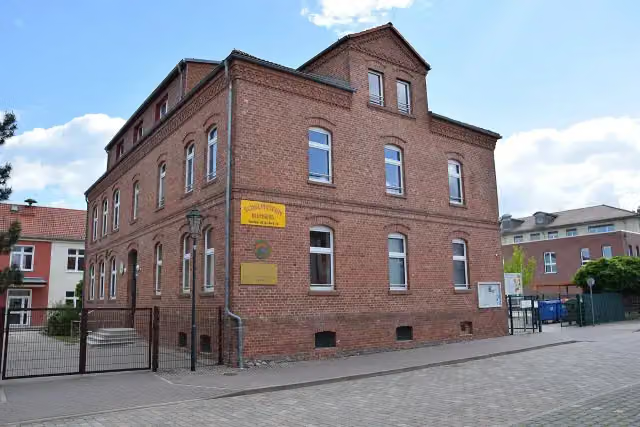 Schulmuseum BlumbergMuseum · 346 m from the route
- 10
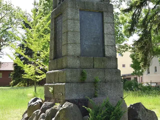 GefallenendenkmalMemorial · 403 m from the route
- 11
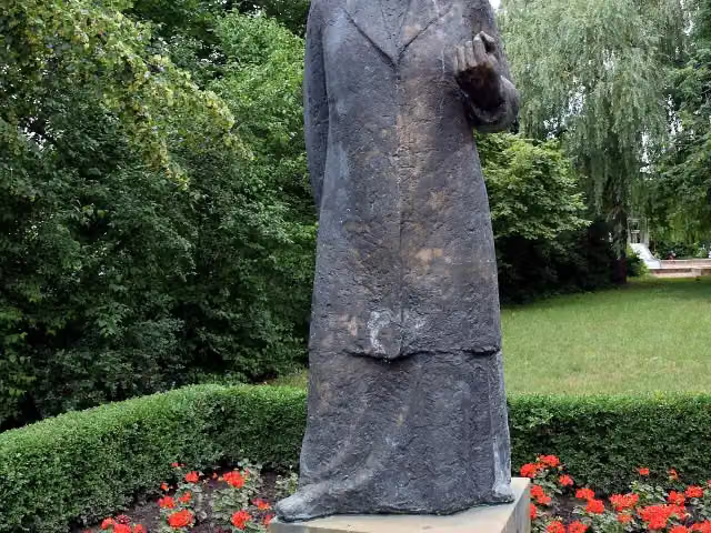 Clara ZetkinMemorial · 730 m from the route
- 12
 Object 17/5001 Primary control center for the East German National Defence CouncilAttraction · 1.3 km from the route
- 13
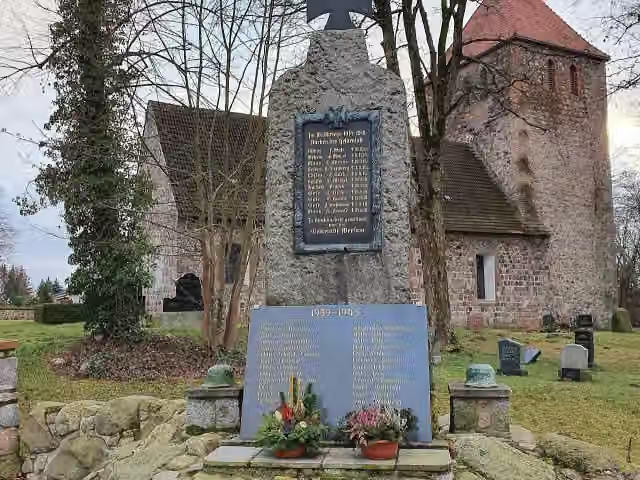 Denkmal für die Gefallenen beider WeltkriegeMemorial · 1.7 km from the route
- 14
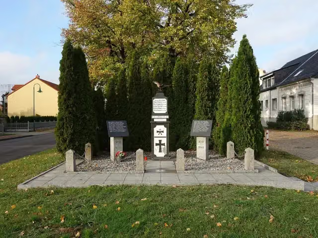 Eichener KriegerdenkmalMemorial · 1.8 km from the route
- 15
 AttractionAttraction · 1.8 km from the route
- 16
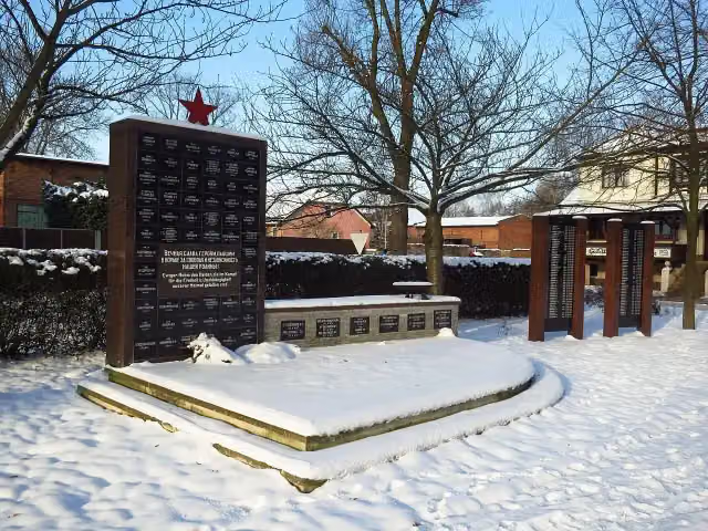 Russisches DenkmalMemorial · 1.9 km from the route
- 17
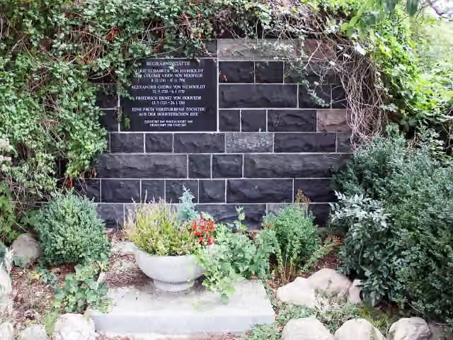 Begräbnisstätte von Humboldt/von HolwedeMemorial · 1.9 km from the route
- 18
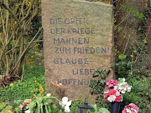 Für KriegsopferMemorial · 1.9 km from the route
- 19
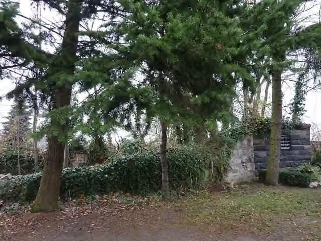 Dorfkirche FalkenbergRuins · 1.9 km from the route
- 20
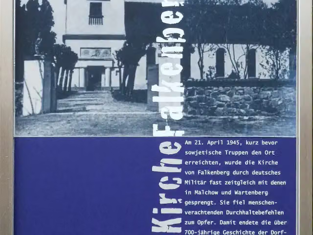 Kirche FalkenbergMemorial · 2 km from the route
- 21
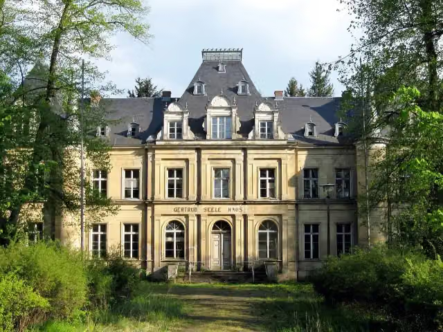 Schloss LankeCastle · 2.1 km from the route
- 22
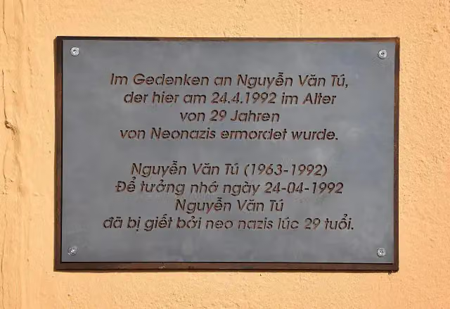 Gedenktafel für Nguyễn Văn TúMemorial · 2.6 km from the route
- 23
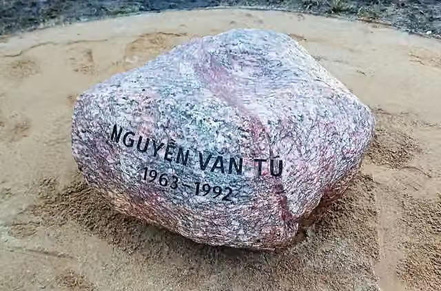 Gedenken ist überallMemorial · 2.6 km from the route
- 24
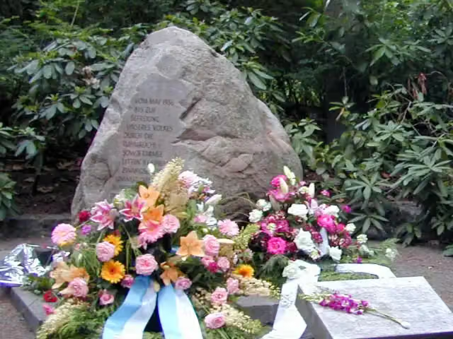 Gedenkstätte Zwangslager Berlin-MarzahnMemorial · 2.7 km from the route
- 25
 MemorialMemorial · 2.8 km from the route
Explore more
Frequently asked questions
How long is Grüner Balken Ahrensfelde - Groß Schönebeck?
Grüner Balken Ahrensfelde - Groß Schönebeck is 74.4 km long. Allow ± 16:55 h of walking: 4.5 km an hour and 10 minutes more per 100 metres of climbing, without breaks.
Is this route a circular walk?
No, the route runs from S- Bahnhof Ahrensfelde to Groß Schönebeck Liebenwalder Straße.
Where does this route start?
The route starts in Berlin.
How hard is this route?
Hard, with 208 m of climbing.
Are there toilets along this route?
Yes, there are 2 public toilets within 100 m of the route. The longest stretch without a toilet is 58.6 km.
Can you fill up with water along this route?
No, there is no water point within 100 m of the route. Bring enough water.
What is there to see along this route?
Along the way you pass Kriegerdenkmal and Jagdschloss Groß Schönebeck.
Can I download this route as a GPX file?
Yes. Sign in with your Outdoor Pitstop account and choose Download GPX at the top of this page: 10 routes a month for free, unlimited with Pro.
Starting point
More routes from this place
Route data © OpenStreetMap contributors





