 Outdoor Pitstop
Walking route · Braubach · Updated on 14 November 2026
Rheinsteig Etappe 12 [Braubach - Kamp-Bornhofen] walk
Rheinsteig Etappe 12 [Braubach - Kamp-Bornhofen] is a walk of 16.5 km from Braubach. Along the way you'll find 69 benches and 1 public toilet.
i
i
i
The route step by step
From start to finish, with what you pass along the way and the distance in between.
- 16.5 km
- ± 4:30 h
- ↑ 527 m · ↓ 398 m
- Hard
- From A to B
- Regional route
- Colour of the signs
Start in Braubach
0 km737 m · 10 benches

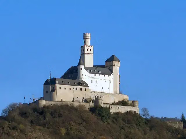
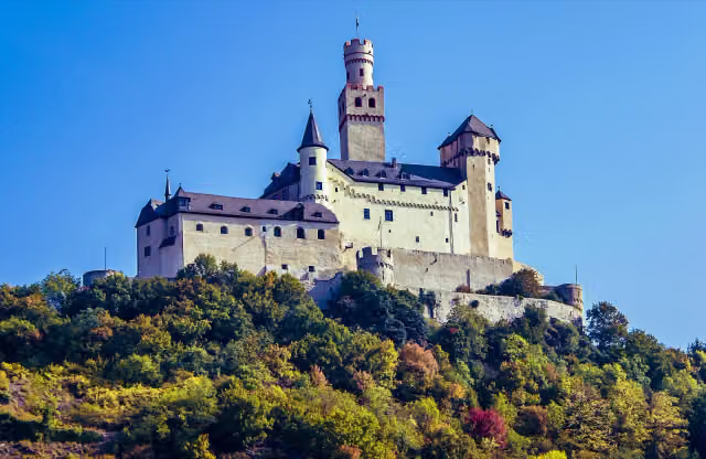
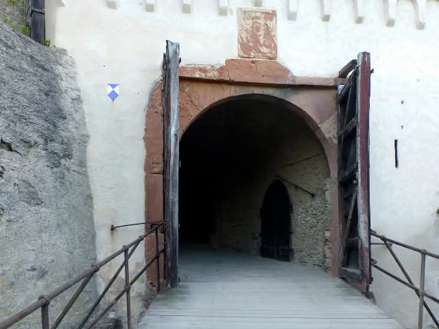
Marksburg
737 mPublic toilet
10.6 km · 40 benches
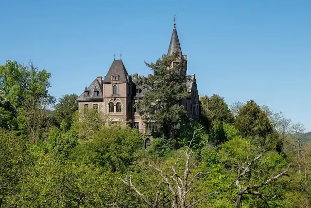
Schloss Liebeneck
11.4 kmCastle
5.1 km · 19 benches
Finish
16.5 km
Longest stretch without a toilet: 15.7 kmBetween 737 m and 16.5 km there is no public toilet within 100 m of the route.
The route with the pitstops and sights within 100 m of it.
2 sights along the way
In the order you pass them. With the Outdoor Pitstop app you hear their story on the spot.
Marksburg
Museum · after 800 m
i
Photo: Rolf Kranz · Wikimedia Commons · CC BY-SA 4.0View the photo on Wikimedia CommonsCastle · after 11.4 km
Elevation and terrain
- Up
- ↑ 527 m
- Down
- ↓ 398 m
- Highest point
- 266 m
- Lowest point
- 89 m
- 5-10% slope · 4.1 km
- 10-15% slope · 3.1 km
- 15-20% slope · 662 m
- 20% slope or steeper · 165 m
- 5 stairs
Elevation from Copernicus GLO-30 (European Union and ESA), smoothed.
produced using Copernicus WorldDEM-30 © DLR e.V. 2010-2014 and © Airbus Defence and Space GmbH 2014-2018 provided under COPERNICUS by the European Union and ESA; all rights reserved
Way types
16.5 km in total- Path: 10.6 km
- Track: 4.6 km
- Street: 825 m
- Stairs: 5 stairs
Surfaces
16.5 km in total- Unpaved: 8.2 km
- Gravel: 6.5 km
- Asphalt: 775 m
- Paved: 225 m
- Natural: 175 m
- Unknown: 500 m
About the walking route Rheinsteig Etappe 12 [Braubach - Kamp-Bornhofen]
Updated on 14 November 2026, with data from OpenStreetMap, the AHN and Copernicus.
Where do you walk?
Rheinsteig Etappe 12 [Braubach - Kamp-Bornhofen] is a walking route of 16.5 km that starts in Braubach. It does not end where it starts. You start in Braubach and finish in Kamp-Bornhofen. Along the way you pass Marksburg (after 800 m) and Schloss Liebeneck (after 11.4 km).
How hard is the route?
You climb 527 m in total and descend 398 m. There are 5 flights of steps along the way. Allow ± 4:30 h, without breaks. The level is hard.
What paths do you walk on?
The longest part is path (10.6 km), track (4.6 km) and street (825 m). Of the surface, 8.2 km unpaved and 6.5 km gravel. For 500 m the surface is not known.
Pitstops along the way
Within 100 metres of the route there are 69 benches and 1 public toilet. The longest stretch without a toilet is 15.7 km. The Outdoor Pitstop app navigates you there.
Part of Rheinsteig (Oberes Mittelrheintal)
Website of the routeWalks nearby
6- Rheinsteig Etappe 11 [Niederlahnstein - Braubach]Moderate · From A to B8.4 km
- Rhein-Camino - 1. Etappe - JakobswegHard · From A to B21.6 km
- Nord Süd Trail, Abschnitt Koblenz - Sankt GoarshausenHard · From A to B61.9 km
- Rheinhöhenweg Lahnstein-Kaub (rrh.-Taunus)Hard · From A to B62.1 km
- Welterbesteig Oberes MittelrheintalHard · From A to B118.6 km
- Rheinburgenweg 8. Etappe Rhens - Bad SalzigModerate · From A to B15.9 km
Sights nearby
Within 10 km of the route, best known first.
- 1
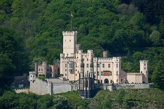 Schloss StolzenfelsCastle · 5 km from the route
- 2
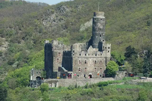 Maus CastleCastle · 8.5 km from the route
- 3
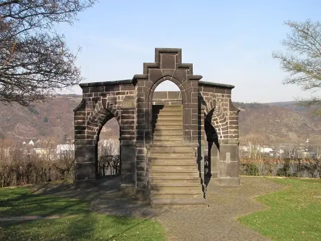 Royal ChairMonument · 2.5 km from the route
- 4
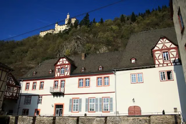 PhilippsburgCastle · 151 m from the route
- 5
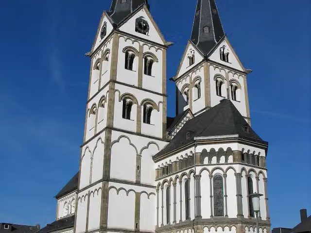 St Severus KircheAttraction · 459 m from the route
- 6
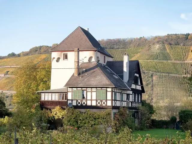 Burg OsterspaiCastle · 467 m from the route
- 7
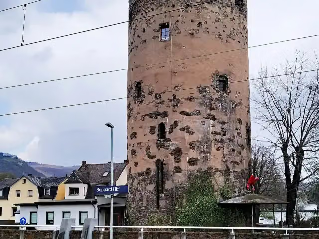 SäuerlingsturmAttraction · 529 m from the route
- 8
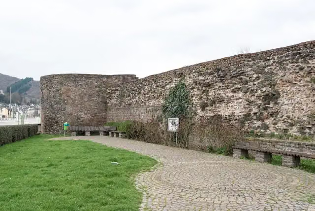 Kastell BoppardArchaeological site · 593 m from the route
- 9
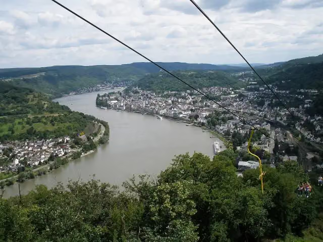 VierseenblickViewpoint · 1.3 km from the route
- 10
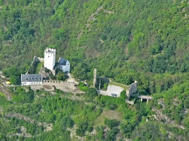 Burg SterrenbergCastle · 2.5 km from the route
- 11
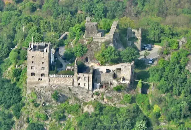 Burg LiebensteinCastle · 2.7 km from the route
- 12
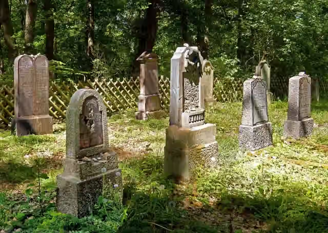 Jüdischer Friedhof RhensMemorial · 3.1 km from the route
- 13
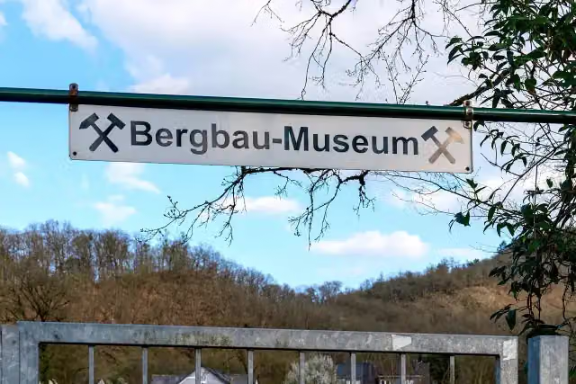 Bergbau Museum Grube FriedrichssegenMuseum · 3.8 km from the route
- 14
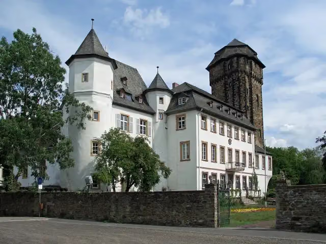 Schloss MartinsburgAttraction · 3.9 km from the route
- 15
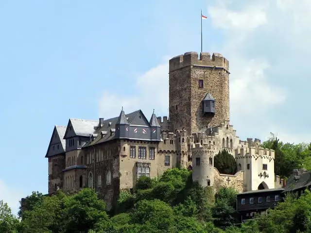 Burg LahneckCastle · 4.3 km from the route
- 16
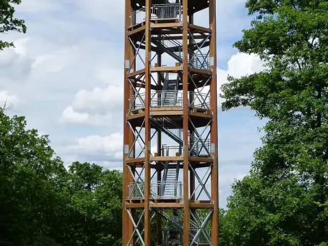 Aussichtsturm FünfseenblickObservation tower · 4.7 km from the route
- 17
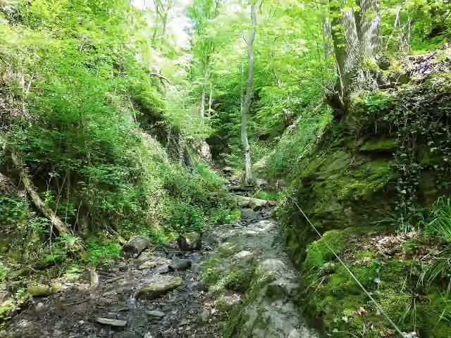 RuppertsklammAttraction · 5.2 km from the route
- 18
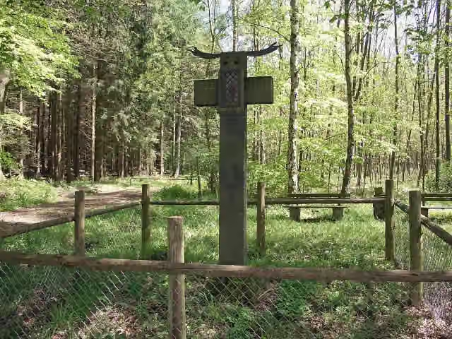 Eiserne HandMemorial · 6.2 km from the route
- 19
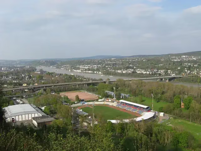 RittersturzViewpoint · 7.5 km from the route
- 20
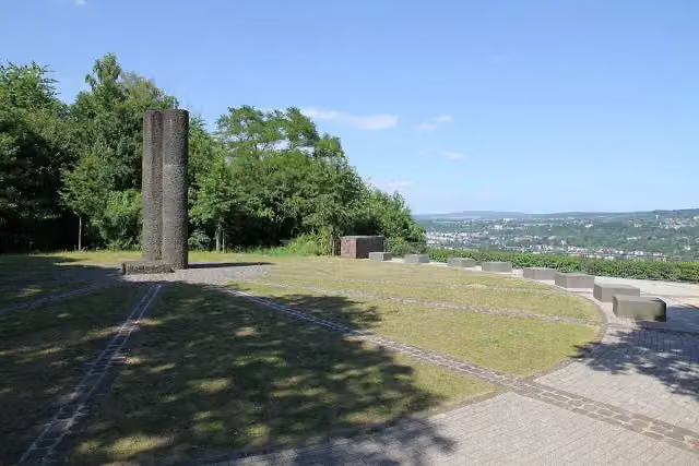 RittersturzMemorial · 7.5 km from the route
- 21
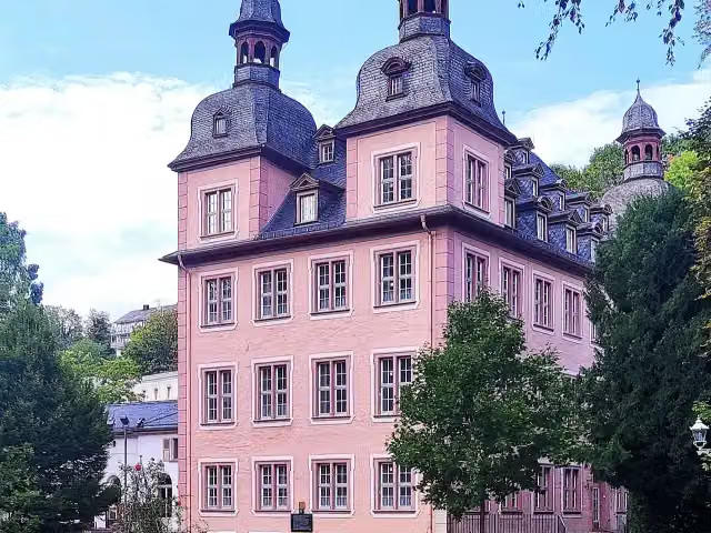 KarlsburgCastle · 8.1 km from the route
- 22
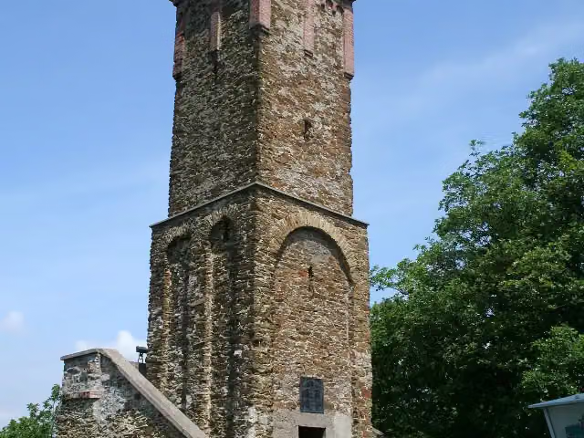 ConcordiaturmViewpoint · 8.4 km from the route
- 23
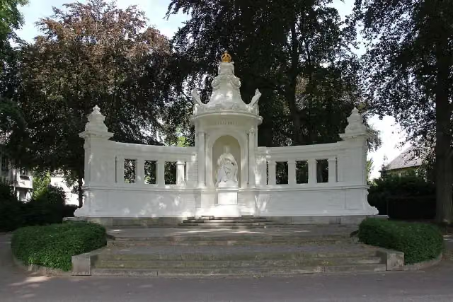 Kaiserin-Augusta-DenkmalMemorial · 8.8 km from the route
- 24
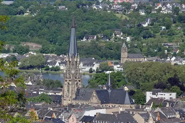 Sankt JosefAttraction · 8.9 km from the route
- 25
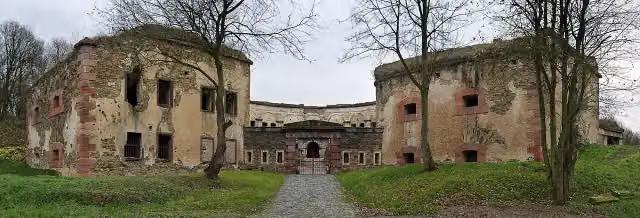 Fort AstersteinCastle · 9.3 km from the route
Explore more
More walks around Braubach
More nearby
Frequently asked questions
How long is Rheinsteig Etappe 12 [Braubach - Kamp-Bornhofen]?
Rheinsteig Etappe 12 [Braubach - Kamp-Bornhofen] is 16.5 km long. Allow ± 4:30 h of walking: 4.5 km an hour and 10 minutes more per 100 metres of climbing, without breaks.
Is this route a circular walk?
No, the route runs from Braubach to Kamp-Bornhofen.
Where does this route start?
The route starts in Braubach.
How hard is this route?
Hard, with 527 m of climbing.
Are there toilets along this route?
Yes, there are 1 public toilet within 100 m of the route. The longest stretch without a toilet is 15.7 km.
Can you fill up with water along this route?
No, there is no water point within 100 m of the route. Bring enough water.
What is there to see along this route?
Along the way you pass Marksburg and Schloss Liebeneck.
Can I download this route as a GPX file?
Yes. Sign in with your Outdoor Pitstop account and choose Download GPX at the top of this page: 10 routes a month for free, unlimited with Pro.
Starting point
More routes from this place
Route data © OpenStreetMap contributors





