 Outdoor Pitstop
Walking route · Apeldoorn · Updated on 14 November 2026
Klompenpad Loenense Enkenpad walk
Klompenpad Loenense Enkenpad is a walk of 11.2 km from Apeldoorn that starts and ends at the same spot. Along the way you'll find 21 benches and 1 water point.
The route step by step
From start to finish, with what you pass along the way and the distance in between.
- 11.2 km
- ± 2:35 h
- ↑ 33 m · ↓ 33 m
- Moderate
- Circular walk
- Local route
- Colour of the signs
This route is in pieces in OpenStreetMap, so there are no kilometres per pitstop. Along the way you'll find 21 benches and 1 water point.
Follow these steps in the appNo public toilet along the wayThere is no public toilet within 100 m of the route. Go before you start, or find one a bit further away in the app.
The route with the pitstops and sights within 100 m of it.
Elevation and terrain
- Up
- ↑ 33 m
- Down
- ↓ 33 m
- Highest point
- 41 m
- Lowest point
- 15 m
Nowhere steeper than 5%.
Elevation from AHN (Rijkswaterstaat), smoothed.
Way types
11.2 km in total- Track: 5.3 km
- Road: 3.3 km
- Path: 1.3 km
- Cycleway: 1.1 km
- Street: 164 m
- Busy road: 75 m
Surfaces
11.2 km in total- Gravel: 3.9 km
- Asphalt: 3.7 km
- Unpaved: 1.8 km
- Natural: 425 m
- Paved: 100 m
- Unknown: 1.3 km
About the walking route Klompenpad Loenense Enkenpad
Updated on 14 November 2026, with data from OpenStreetMap, the AHN and Copernicus.
Where do you walk?
Klompenpad Loenense Enkenpad is a circular walk of 11.2 km from Apeldoorn: it starts and ends in the same place.
How hard is the route?
You climb 33 m in total and descend 33 m. Allow ± 2:35 h, without breaks. The level is moderate.
What paths do you walk on?
The longest part is track (5.3 km), road (3.3 km) and path (1.3 km). Of the surface, 3.9 km gravel and 3.7 km asphalt. For 1.3 km the surface is not known.
Pitstops along the way
Within 100 metres of the route there are 21 benches and 1 water point. There is no public toilet within 100 metres of the route. The Outdoor Pitstop app navigates you there.
Klompenpad Loenense Enkenpad walk: an 11 km circular route
The Klompenpad Loenense Enkenpad walk is a local walking route of 11 km. It is a circular route, so you start and finish in the same place. Along the way you climb 33 metres in total and descend 33 metres. This page shows the map of the route and the elevation profile, which shows where those metres are. You will also find the pitstops along the way: the public toilets, the drinking water and the benches. That way you know in advance where you can stop.
Surface and type of path along the way
The 11 km walk is 39% gravel and 38% asphalt. A further 18% of the route is unpaved, so you alternate between a hard and a softer surface. In wet weather the unpaved section can be muddy, so choose footwear that can cope with it. The type of path also varies. Nearly half the route, 48%, is along a field or forest track. You also walk 29% along an ordinary road and 12% along a footpath. The remaining 10% is a cycle path. On the ordinary road and the cycle path you may meet cyclists and other traffic, so keep this in mind.
Pit stops along the way: water and benches
Along the route you will find 1 water tap, where you can top up your bottle. As there is only 1 tap, bring enough to drink for the rest of the walk. There are also 21 benches along the way, so you can stop regularly for a rest, perhaps for a snack or something to drink. The map shows exactly where the water tap and benches are, so you can plan in advance where you would like to take a break.
Walks nearby
6Sights nearby
Within 10 km of the route, best known first.
- 1
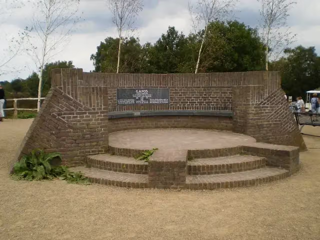 PosbankMemorial · 8 km from the route
- 2
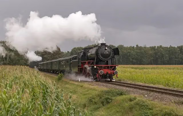 Veluwsche Stoomtrein MaatschappijMuseum · 4.3 km from the route
- 3
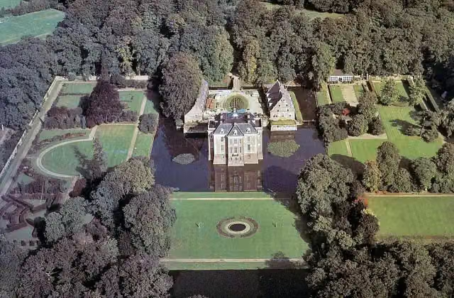 Kasteel MiddachtenCastle · 9.5 km from the route
- 4
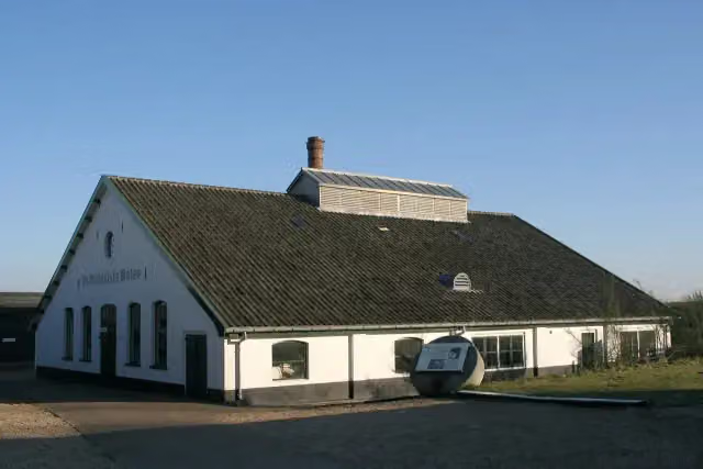 Papierfabriek De Middelste MolenMuseum · 719 m from the route
- 5
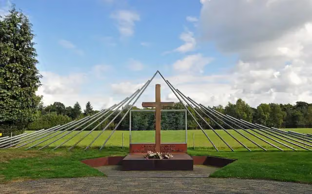 Monument Woeste HoeveMemorial · 4.2 km from the route
- 6
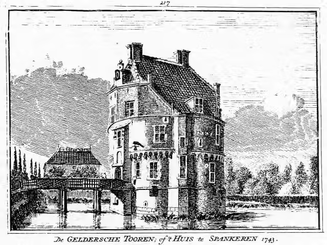 Gelderse TorenCastle · 8.3 km from the route
- 7
 Prins WillembergViewpoint · 7 km from the route
- 8
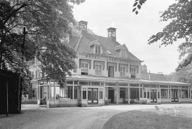 Hotel DullemondRuins · 4.5 km from the route
- 9
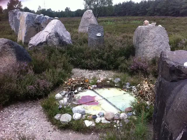 International Memorial for the Unknown ChildMemorial · 9.8 km from the route
- 10
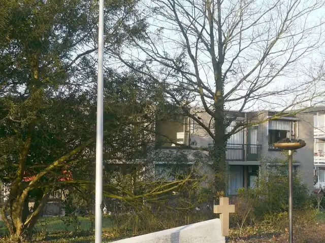 Verzetsmonument BeekbergenMemorial · 4.7 km from the route
- 11
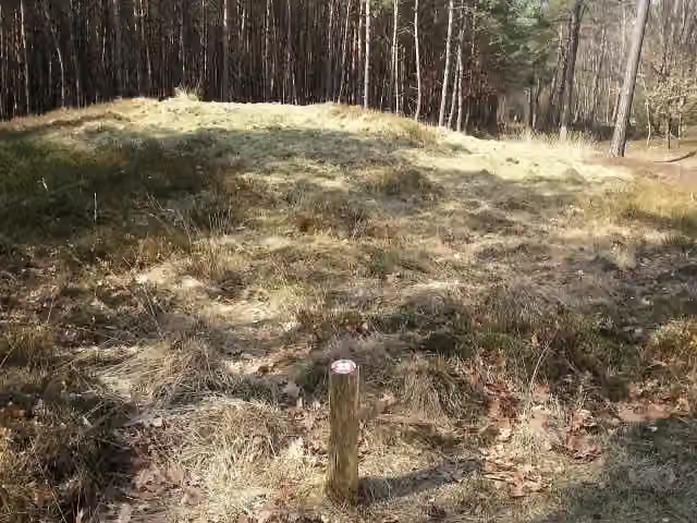 Archaeological siteArchaeological site · 834 m from the route
- 12
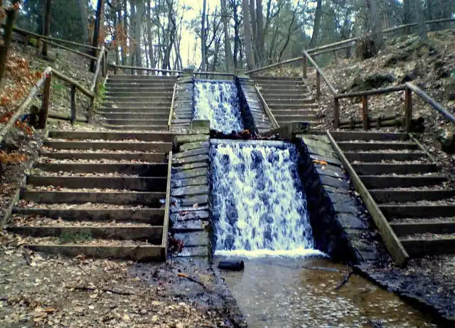 Loenense Waterval (de grote)Attraction · 1.1 km from the route
- 13
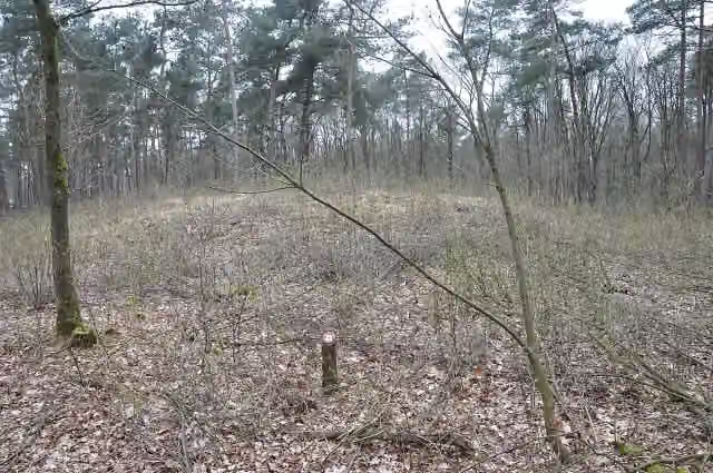 Archaeological siteArchaeological site · 8.5 km from the route
- 14
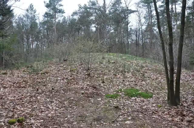 Het BisschopsbergjeArchaeological site · 8.7 km from the route
- 15
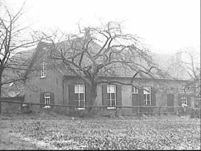 Ruïne HerikhuizenRuins · 9.1 km from the route
- 16
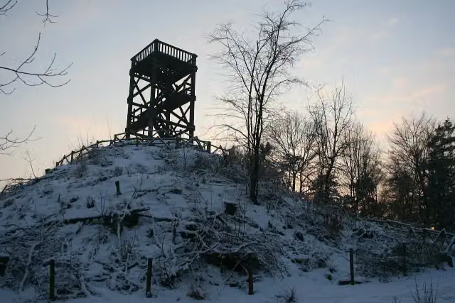 Emma PiramideObservation tower · 9.9 km from the route
- 17
 Uitkijktoren TrapjesbergObservation tower · 2.5 km from the route
- 18PriesnitzmonumentMemorial · 4.5 km from the route
- 19Archaeological siteArchaeological site · 6.6 km from the route
- 20BrandtorenObservation tower · 7.2 km from the route
- 21GalgenbergViewpoint · 7.5 km from the route
- 22MemorialMemorial · 7.8 km from the route
- 23Archaeological siteArchaeological site · 8 km from the route
- 24Museum DeelenMuseum · 9.7 km from the route
Explore more
Frequently asked questions
How long is the Loenense Enkenpad walk?
The Loenense Enkenpad is 11 km long. It is a local walking route.
Is the Loenense Enkenpad a circular route?
Yes, the Loenense Enkenpad is a circular route: you start and finish in the same place.
How much elevation gain does the klompenpad Loenense Enkenpad walk have?
The Loenense Enkenpad has 33 metres of ascent and 33 metres of descent. It is therefore a fairly flat route.
What is the surface of the Loenense Enkenpad?
The Loenense Enkenpad is 39% gravel, 38% asphalt and 18% unpaved path. Most of the route runs along field or forest tracks (48%).
Are there benches and drinking water along the Loenense Enkenpad?
Yes, along the route you will find 21 benches and 1 water tap. You can therefore rest regularly, but there is only one place to refill your bottle along the way.
Starting point
More routes from this place
Route data © OpenStreetMap contributors





