 Outdoor Pitstop
Walking route · Rattelsdorf · Updated on 14 November 2026
Fränkischer Marienweg – Ave-Maria-Route walk
Fränkischer Marienweg – Ave-Maria-Route is a walk of 582 km from Rattelsdorf that starts and ends at the same spot. Along the way you'll find 1,316 benches, 21 water fountains and refill points, 75 public toilets and 1 honesty box.
i
i
i
The route step by step
From start to finish, with what you pass along the way and the distance in between.
- 582 km
- ± 142:45 h
- ↑ 8,066 m · ↓ 8,053 m
- Hard
- Circular walk
- Regional route
Start in Rattelsdorf
0 km23.1 km · 22 benches

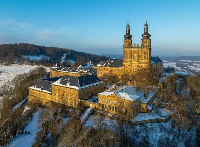
Kloster Banz
23.1 kmPublic toilet
5.5 km · 9 benches
Basilika Vierzehnheiligen
28.6 kmPublic toilet
4.4 km · 12 benches
Stadtmuseum
32.9 kmMuseum
161 m · 2 benches
Stadtschloss
33.1 kmPublic toilet and water point
252 m · bench
Sammlung Fossilien des Jura
33.3 kmMuseum
10.7 km · 15 benches
Public toilet
44 km12.2 km · 21 benches
Schloß Oberlangenstadt
56.2 kmCastle
1.9 km
Neues Schloss and 1 more
58.1 kmOberes Schloss
202 m
Altes Schloss
58.3 kmCastle
5.2 km · 2 benches
Public toilet and water point
63.5 km2 km · 14 benches
Public toilet
65.6 km761 m · 17 benches
Public toilet
66.3 km24.9 km · 14 benches
St. Nepomuk
91.2 kmPublic toilet
15.2 km · 2 benches
Nepomuk
106.4 kmMemorial
7.6 km
Klöppel & Ortsmuseum
114 kmMuseum
74.2 km · 47 benches
Heimatmuseum
188.3 kmMuseum
14.8 km · 13 benches
Deutsches Zinnfigurenmuseum and 3 more
203.1 kmMuseum Hohenzollern in Franken, Armeemuseum Friedrich der Große, Plassenburg and public toilet
171 m · 6 benches
Landschaftsmuseum Obermain
203.2 kmMuseum
741 m · 19 benches
Public toilet and water point
204 km6.3 km · 18 benches
Public toilet
210.2 km285 m · 5 benches
Public toilet
210.5 km379 m
Turmhügel Unterauhof
210.9 kmCastle
18.2 km · 34 benches
Magnusturm
229.1 kmCastle
12.8 km · 12 benches
Morgenländischer Bau
241.9 kmPublic toilet
151 m · 10 benches
Burg Zwernitz
242.1 kmPublic toilet
15.9 km · 44 benches
Schloss Plankenfels
257.9 kmCastle
5.1 km · 11 benches
Heiliger Nepomuk
263.1 kmPublic toilet
1.5 km · 21 benches
Burgstall Schlüsselberg
264.5 kmArchaeological site
2.2 km · 9 benches
Burg Rabeneck
266.7 kmCastle
Show the other 78 steps
3.8 km · 8 benches
Riesenburg
270.5 kmAttraction
5 km · 7 benches
Public toilet
275.5 km500 m · bench
Stempfermühltopf
276 kmAttraction
834 m · 11 benches
Burg Gößweinstein
276.8 kmAttraction
197 m · bench
Heimatkundliche Sammlung Gößweinstein and 3 more
277 kmViktor v. Scheffel, Wallfahrtsmuseum Gößweinstein, Basilika zur Heiligsten Dreifaltigkeit and public toilet
457 m · 22 benches
Kriegerdenkmal
277.5 kmMemorial
5.5 km · 38 benches
Burg Pottenstein and 1 more
283 kmScharfrichtermuseum and public toilet
329 m · 3 benches
Water point
283.3 km184 m · bench
Sängerhäuschen
283.5 kmViewpoint
1.1 km · 5 benches
Public toilet
284.6 km10.4 km · 22 benches
2 water fountains and refill points
295 km22.7 km · 19 benches
2 water fountains and refill points
317.8 km11.6 km · 18 benches
Water point
329.3 km7.7 km · 20 benches
Public toilet
337.1 km10.2 km · 3 benches
Maximiliansgrotte
347.3 kmAttraction
9.3 km · 8 benches
Burg Hartenstein
356.6 kmAttraction
5 km · bench
Public toilet
361.6 km562 m · 5 benches
Public toilet
362.1 km13.2 km · 16 benches
Public toilet
375.3 km11.1 km · 31 benches
Public toilet
386.4 km6.2 km · 41 benches
2 public toilets and water point
392.6 km220 m · 2 benches
Kirchenruine St. Leonhard and 1 more
392.8 kmSchleifmühle
183 m · 4 benches
Wenzelburg
393 kmCastle
307 m · 17 benches
Industriemuseum Lauf
393.3 km2 public toilets
153 m · 2 benches
Public toilet
393.5 km13.7 km · 32 benches
Public toilet
407.1 km3.2 km · 43 benches
Public toilet
410.3 km807 m · 7 benches
Public toilet
411.2 km695 m · 10 benches
Public toilet and water point
411.8 km1.1 km · 18 benches
Synagogendenkmal and 1 more
413 kmHeilig-Geist-Spital
163 m · 3 benches
Museumsbrücke and 1 more
413.1 kmFrauenkirche and water point
230 m · 8 benches
Beautiful Fountain and 2 more
413.4 kmSt. Sebald Church, Altes Rathaus and 2 public toilets
261 m · 9 benches
Fembohaus
413.6 kmMuseum
183 m · 4 benches
Finanzstadel and 4 more
413.8 kmHimmelsstallung, Hasenburg, Heidenturm, Imperial Castle and 4 public toilets
204 m · 35 benches
Public toilet
414 km186 m · bench
Luginsland
414.2 kmObservation tower
296 m · 2 benches
Public toilet
414.5 km14.5 km · 32 benches
Public toilet
429 km842 m · 6 benches
Hallerschloss and 1 more
429.8 kmSankt-Andreas-Kirche and water point
5.6 km · 7 benches
Public toilet
435.4 km2.2 km · 5 benches
Public toilet
437.6 km497 m · 22 benches
Public toilet
438.1 km400 m · 8 benches
Public toilet
438.5 km2.2 km · 7 benches
Public toilet
440.7 km4.5 km · 8 benches
Tanzlinde
445.1 kmAttraction
11.4 km · 11 benches
Public toilet
456.5 km412 m · 7 benches
Public toilet
456.9 km405 m · 16 benches
Heimatmuseum
457.3 kmPublic toilet and water point
270 m · 10 benches
Martinskirche
457.6 kmPublic toilet
2 km · 5 benches
2 public toilets
459.6 km256 m · bench
Public toilet
459.8 km1.8 km · 17 benches
Honesty box
461.7 km19.9 km · 25 benches
Water point
481.6 km3.8 km · bench
Public toilet
485.4 km1.6 km · 2 benches
Burgstall Obersenftenberg
487 kmArchaeological site
23.2 km · 20 benches
Public toilet
510.2 km1.2 km · 32 benches
Public toilet
511.4 km758 m · 17 benches
Villa Dessauer
512.2 kmPublic toilet
162 m · 9 benches
E.T.A.-Hoffmann-Haus
512.3 kmMuseum
322 m · 4 benches
Klosterbräu and 2 more
512.7 kmApfelweibla and Böttingerhaus
371 m · 10 benches
Diözesanmuseum Bamberg and 2 more
513 kmBamberg Cathedral, Historisches Museum, 2 public toilets and water point
312 m · 7 benches
Hl. Kunigunde and 2 more
513.3 kmOld City Hall, Sammlung Ludwig, 3 public toilets and water point
261 m · 11 benches
Museum für frühislamische Kunst
513.6 kmPublic toilet and water point
168 m · 5 benches
2 public toilets
513.8 km439 m · 57 benches
4 public toilets
514.2 km273 m · 6 benches
Gärtner- und Häckermuseum
514.5 kmPublic toilet
1.1 km · 17 benches
Public toilet
515.6 km742 m · 4 benches
Fürstbischof Franz Ludwig von Erthal
516.4 kmMemorial
447 m
Public toilet
516.8 km571 m · 4 benches
Water point
517.4 km157 m · bench
Public toilet
517.5 km16.2 km · 7 benches
St. Pankratius
533.8 kmAttraction
1.1 km · 3 benches
Giechburg
534.9 kmPublic toilet
3.3 km · 7 benches
Water point
538.1 km1.7 km · 2 benches
Schloß Burgellern
539.9 kmCastle
15.5 km · 20 benches
Water point
555.3 km16.8 km · 21 benches
Schloß Unterleiterbach
572.2 kmCastle
9.8 km · 4 benches
Back at the start
582 km
Longest stretch without a toilet: 111.9 kmBetween 91.3 km and 203.1 km there is no public toilet within 100 m of the route.
The route with the pitstops and sights within 100 m of it.
81 sights along the way
In the order you pass them. With the Outdoor Pitstop app you hear their story on the spot. 73 more along the route are on the map.
 Story
i
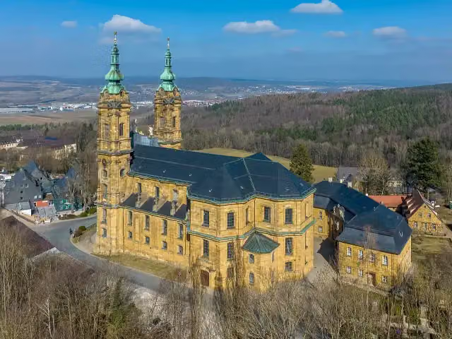
Photo: Reinhold Möller Ermell · Wikimedia Commons · CC BY-SA 4.0View the photo on Wikimedia CommonsKloster Banz
Attraction · after 23.1 km
Basilika Vierzehnheiligen
Attraction · after 28.6 km

Museum · after 32.9 km
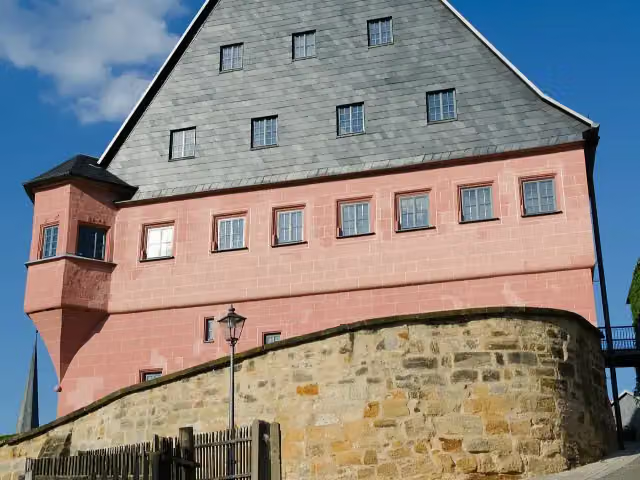
i
Photo: Tilman2007 · Wikimedia Commons · CC BY-SA 3.0View the photo on Wikimedia CommonsCastle · after 33.1 km
Museum · after 33.3 km
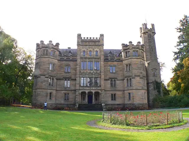
i
Photo: Presse03 · Wikimedia Commons · CC BY-SA 3.0View the photo on Wikimedia CommonsCastle · after 56.2 km
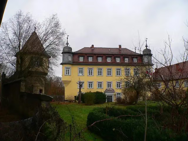
i
Photo: Presse03 · Wikimedia Commons · CC BY-SA 3.0View the photo on Wikimedia CommonsCastle · after 58.1 km
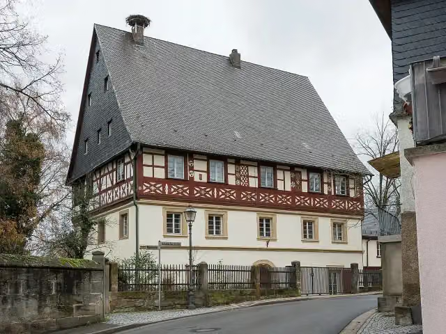
i
Photo: Namenloser Hobbyhistoriker · Wikimedia Commons · CC BY-SA 4.0View the photo on Wikimedia CommonsCastle · after 58.2 km
Elevation and terrain
- Up
- ↑ 8,066 m
- Down
- ↓ 8,053 m
- Highest point
- 657 m
- Lowest point
- 243 m
- 5-10% slope · 38 km
- 28 stairs
Elevation from Copernicus GLO-30 (European Union and ESA), smoothed.
produced using Copernicus WorldDEM-30 © DLR e.V. 2010-2014 and © Airbus Defence and Space GmbH 2014-2018 provided under COPERNICUS by the European Union and ESA; all rights reserved
Way types
582 km in total- Track: 322 km
- Path: 81.1 km
- Road: 77 km
- Street: 73.2 km
- Busy road: 10.8 km
- Footpath: 10.3 km
- Cycleway: 3.7 km
- Stairs: 28 stairs
- Unknown: 50 m
Surfaces
582 km in total- Asphalt: 175.8 km
- Gravel: 160.2 km
- Unpaved: 69.2 km
- Paved: 25.5 km
- Natural: 9 km
- Unknown: 140.2 km
About the walking route Fränkischer Marienweg – Ave-Maria-Route
Updated on 14 November 2026, with data from OpenStreetMap, the AHN and Copernicus.
Where do you walk?
Fränkischer Marienweg – Ave-Maria-Route is a circular walk of 582 km from Rattelsdorf: it starts and ends in the same place. Along the way you pass Kloster Banz (after 23.1 km), Basilika Vierzehnheiligen (after 28.6 km) and Stadtmuseum (after 32.9 km).
How hard is the route?
You climb 8,066 m in total and descend 8,053 m. There are 28 flights of steps along the way. Allow ± 142:45 h, without breaks. The level is hard.
What paths do you walk on?
The longest part is track (322 km), path (81.1 km) and road (77 km). Of the surface, 175.8 km asphalt and 160.2 km gravel. For 140.2 km the surface is not known.
Pitstops along the way
Within 100 metres of the route there are 1,316 benches, 21 water fountains and refill points, 75 public toilets and 1 honesty box. The longest stretch without a toilet is 111.9 km. The Outdoor Pitstop app navigates you there.
Part of Fränkischer Marienweg
Website of the routeWalks nearby
6Sights nearby
Within 10 km of the route, best known first.
- 1
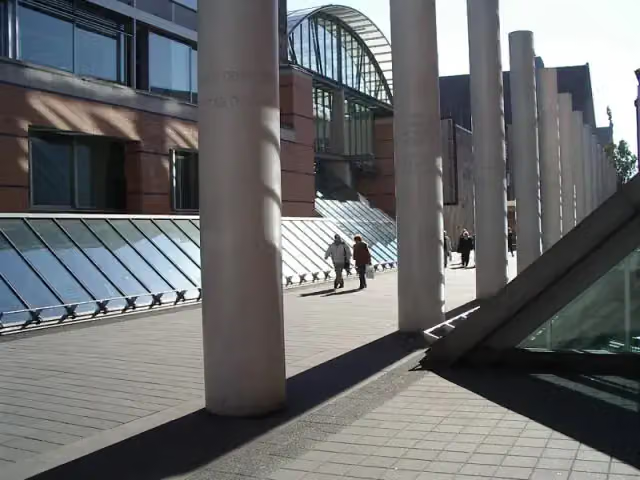 Germanisches NationalmuseumMuseum · 612 m from the route
- 2
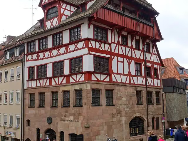 Albrecht Dürer's HouseMuseum · 246 m from the route
- 3
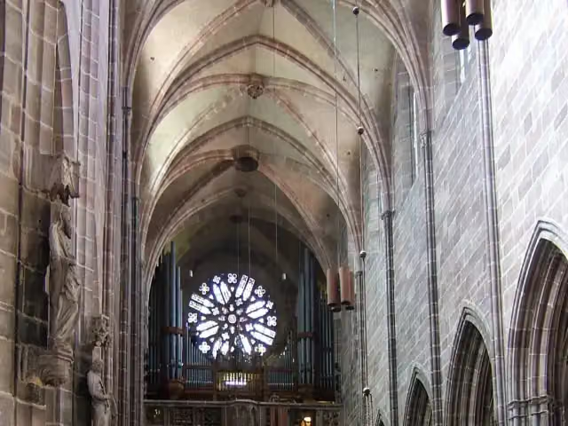 St. Lawrence ChurchAttraction · 249 m from the route
- 4
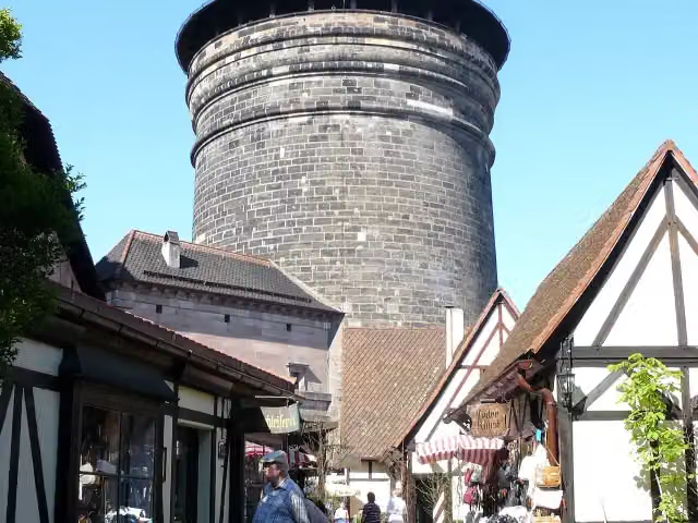 Craftmen's CourtyardAttraction · 664 m from the route
- 5
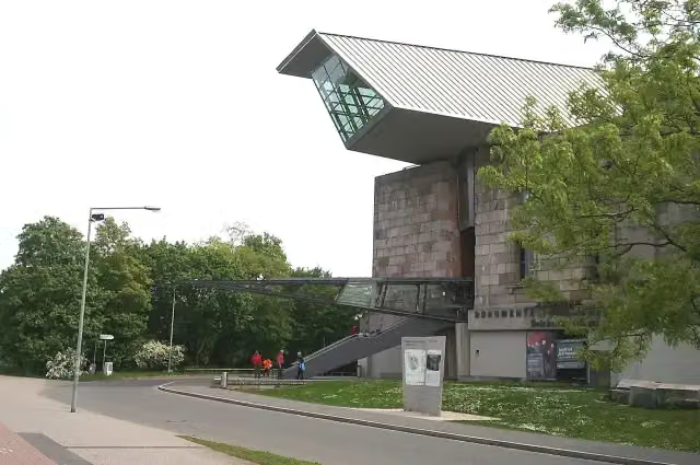 Documentation Center Nazi Party Rally GroundsMuseum · 2.3 km from the route
- 6
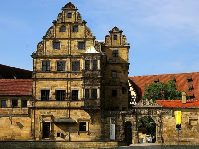 Old CourtAttraction · 130 m from the route
- 7
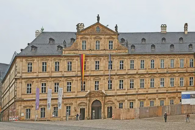 Neue ResidenzMuseum · 134 m from the route
- 8
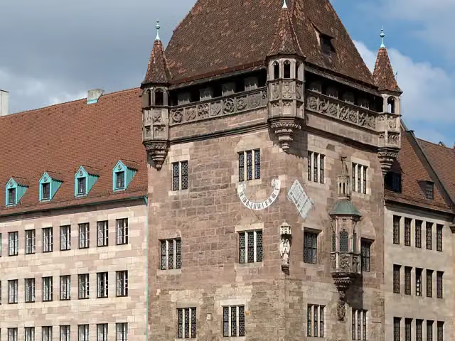 Nassauer HausAttraction · 245 m from the route
- 9
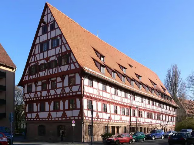 WeinstadelAttraction · 273 m from the route
- 10
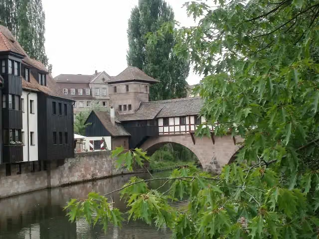 hangman's houseMuseum · 285 m from the route
- 11
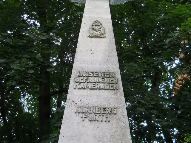 Pilot MonumentMemorial · 2 km from the route
- 12
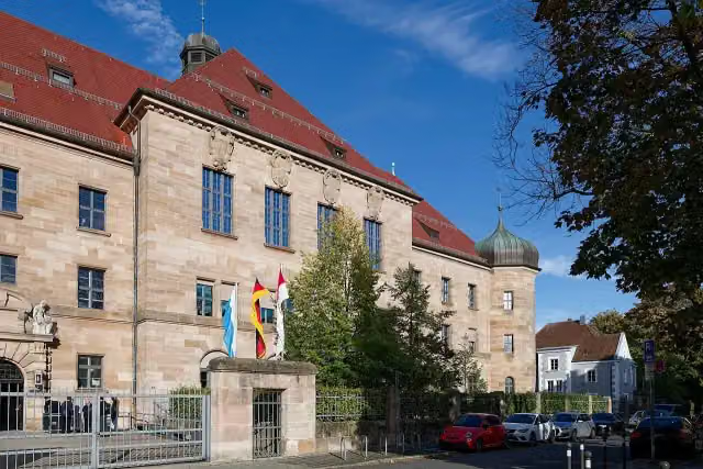 Memorium Nuremberg TrialsMuseum · 2 km from the route
- 13
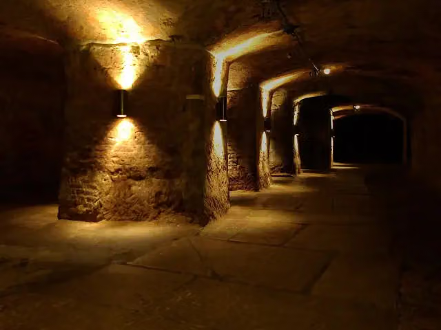 Historic Rock-cut CellarsAttraction · 109 m from the route
- 14
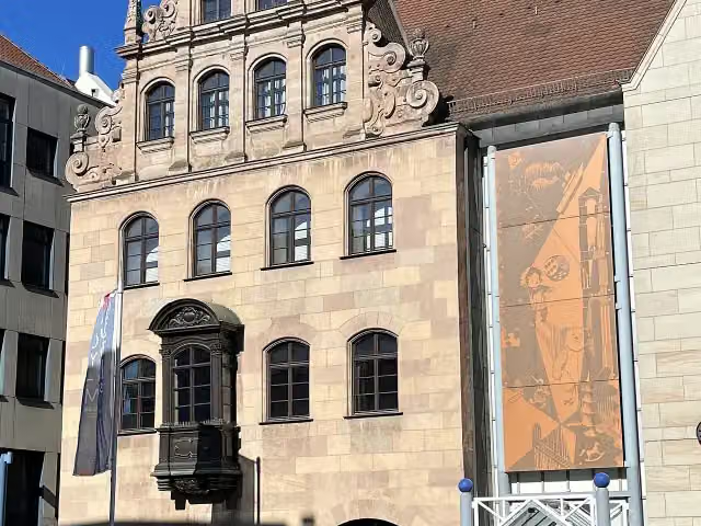 Toy Museum NurembergMuseum · 190 m from the route
- 15
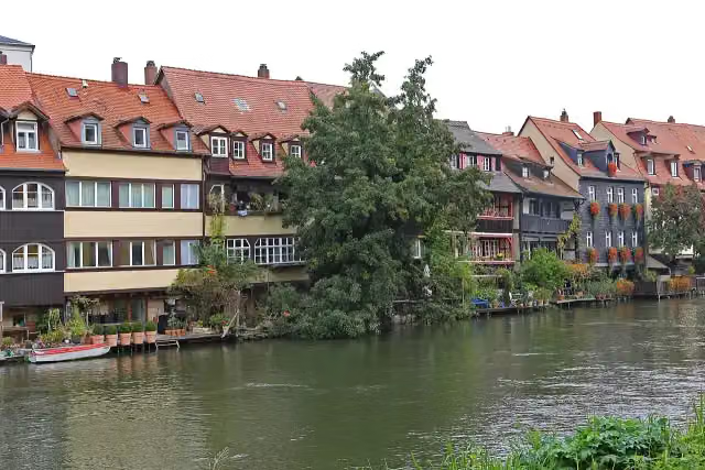 Little VeniceAttraction · 293 m from the route
- 16
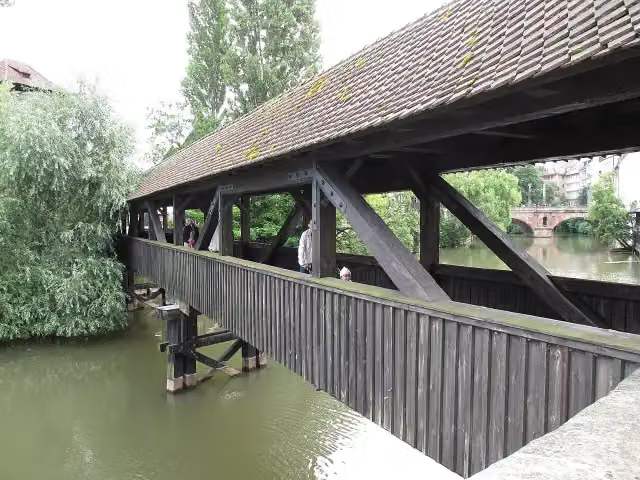 Hangman's BridgeAttraction · 307 m from the route
- 17
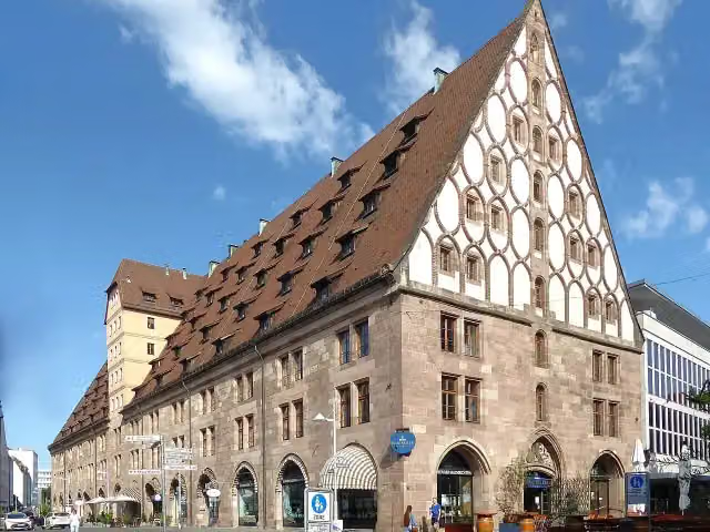 Former Customs HouseAttraction · 438 m from the route
- 18
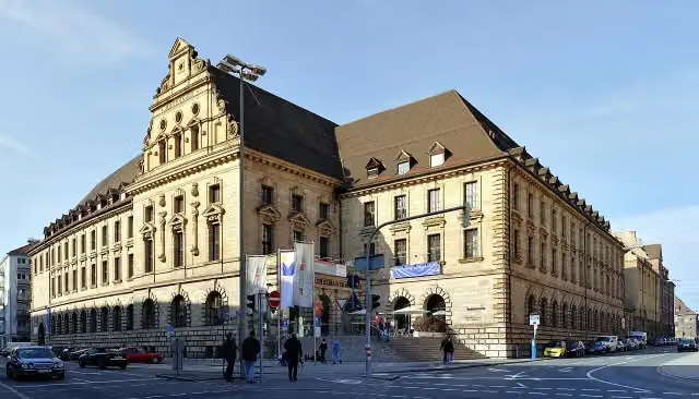 Verkehrsmuseum Nürnberg (DB Museum)Museum · 917 m from the route
- 19
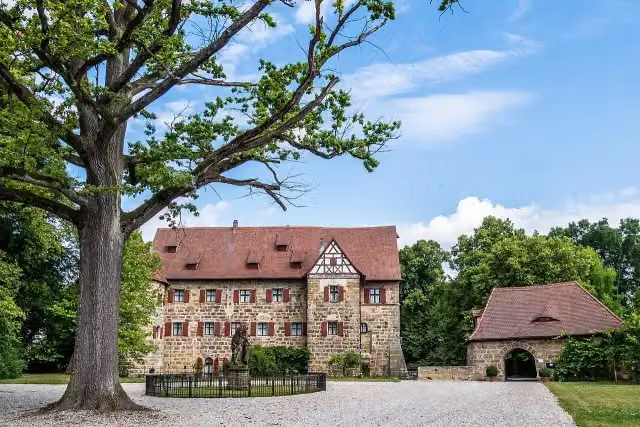 Schloss KunreuthCastle · 3.2 km from the route
- 20
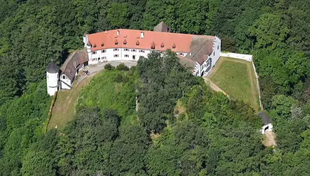 Schloss NeidsteinCastle · 7.6 km from the route
- 21
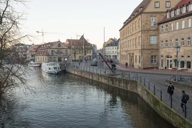 Kanalhafen Am KranenAttraction · 84 m from the route
- 22
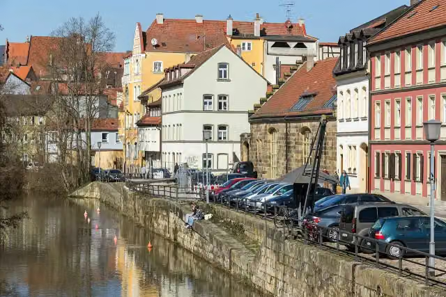 Nonnengraben Canal HarborAttraction · 85 m from the route
- 23
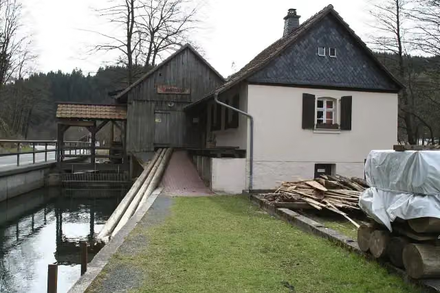 Teichmühle SteinwiesenMuseum · 88 m from the route
- 24
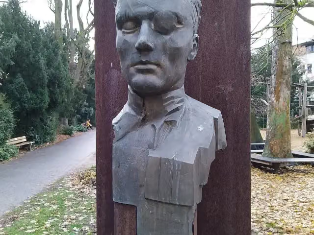 Mahnmal für Widerstand und ZivilcourageMemorial · 102 m from the route
- 25
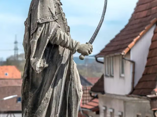 AbrahamMemorial · 108 m from the route
Explore more
Frequently asked questions
How long is Fränkischer Marienweg – Ave-Maria-Route?
Fränkischer Marienweg – Ave-Maria-Route is 582 km long. Allow ± 142:45 h of walking: 4.5 km an hour and 10 minutes more per 100 metres of climbing, without breaks.
Is this route a circular walk?
Yes, the route starts and ends at the same spot.
Where does this route start?
The route starts in Rattelsdorf.
How hard is this route?
Hard, with 8,066 m of climbing.
Are there toilets along this route?
Yes, there are 75 public toilets within 100 m of the route. The longest stretch without a toilet is 111.9 km.
Can you fill up with water along this route?
Yes, there are 21 water fountains and refill points within 100 m of the route.
What is there to see along this route?
Along the way you pass Kloster Banz, Basilika Vierzehnheiligen and Stadtmuseum.
Can I download this route as a GPX file?
Yes. Sign in with your Outdoor Pitstop account and choose Download GPX at the top of this page: 10 routes a month for free, unlimited with Pro.
Starting point
More routes from this place
Route data © OpenStreetMap contributors





