 Outdoor Pitstop
Mountain bike trail · Bergen · Updated on 5 November 2026
Bergen (blauw) mountain bike trail
Bergen (blauw) is a mountain bike trail of 16 km from Bergen that starts and ends at the same spot. Along the way you'll find 3 benches and picnic tables.
The route step by step
From start to finish, with what you pass along the way and the distance in between.
- 16 km
- ± 1:20 h
- ↑ 26 m · ↓ 24 m
- Easy
- Loop
- Local route
- Colour of the signs
Start in Bergen
0 km16 km · 3 benches
Back at the start
16 km
No public toilet along the wayThere is no public toilet within 100 m of the route. Go before you start, or find one a bit further away in the app.
The route with the pitstops and sights within 100 m of it.
Elevation and terrain
- Up
- ↑ 26 m
- Down
- ↓ 24 m
- Highest point
- 31 m
- Lowest point
- 15 m
Nowhere steeper than 5%.
Elevation from AHN (Rijkswaterstaat), smoothed.
Way types
16 km in total- Track: 9.9 km
- Path: 4.9 km
- Cycle path: 800 m
- Road: 500 m
Surfaces
16 km in total- Gravel: 3.1 km
- Natural: 375 m
- Asphalt: 275 m
- Unpaved: 275 m
- Unknown: 12 km
About the mountain bike trail Bergen (blauw)
Updated on 5 November 2026, with data from OpenStreetMap and the AHN.
Where do you ride?
Bergen (blauw) is a loop of 16 km from Bergen: it starts and ends in the same place.
How hard is the route?
You climb 26 m in total and descend 24 m. Allow ± 1:20 h, without breaks. The level is easy.
What trails do you ride on?
The longest part is track (9.9 km), path (4.9 km) and cycle path (800 m). Of the surface, 3.1 km gravel and 375 m natural. For 12 km the surface is not known.
Pitstops along the way
Within 100 metres of the route there are 3 benches and picnic tables. There is no public toilet within 100 metres of the route. The Outdoor Pitstop app navigates you there.
The Bergen (blue) MTB trail is a 16 km mountain bike trail in North Limburg, in the municipality of Bergen. The loop runs through De Maasduinen National Park and past Wellerlooi, almost two thirds on dirt tracks and forest roads and nearly a third on narrow paths. There is little climbing. You follow the blue waymarks anticlockwise. There are a few benches along the trail, but we know of no drinking water, toilet or bike pump.
Mountain bike trails nearby
2Sights nearby
Within 10 km of the route, best known first.
- 1
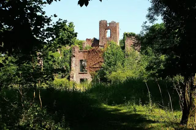 Kasteel BleijenbeekCastle · 9.3 km from the route
- 2
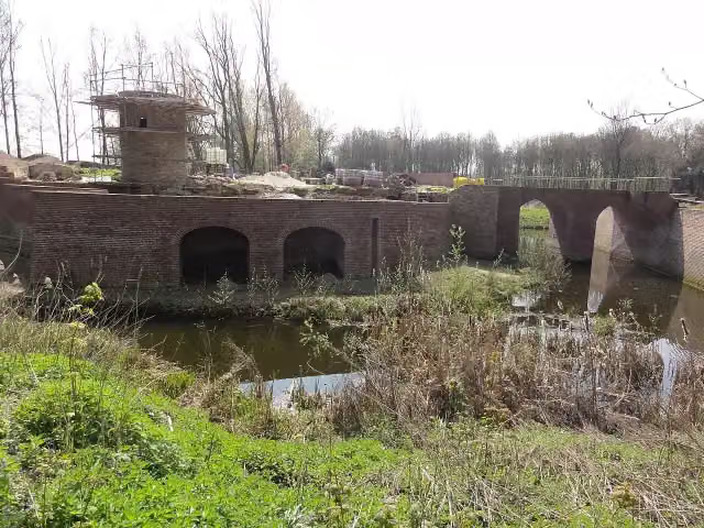 Kasteel GeijsterenCastle · 3.7 km from the route
- 3
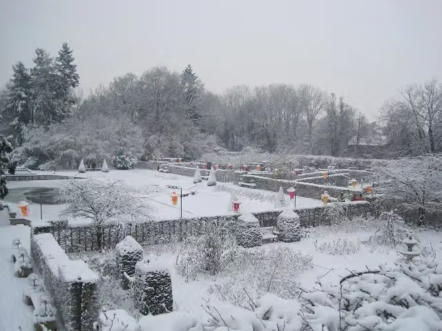 Kasteeltuinen ArcenAttraction · 7.8 km from the route
- 4
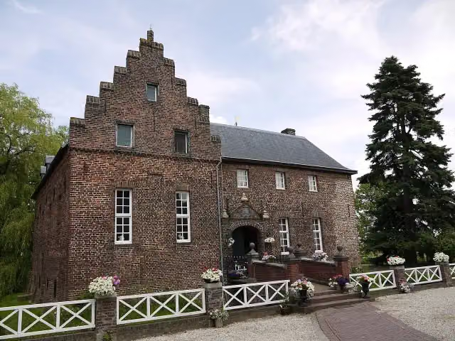 De BorggraafCastle · 8.3 km from the route
- 5
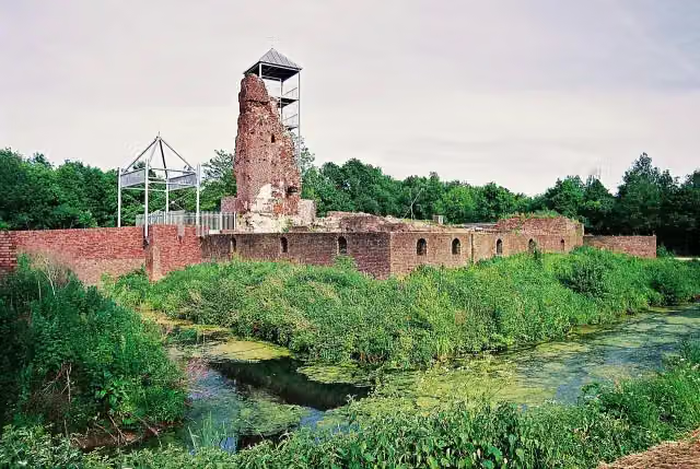 Huys ter HorstCastle · 9.5 km from the route
- 6
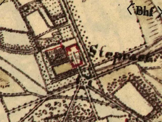 Haus SteprathCastle · 5.2 km from the route
- 7
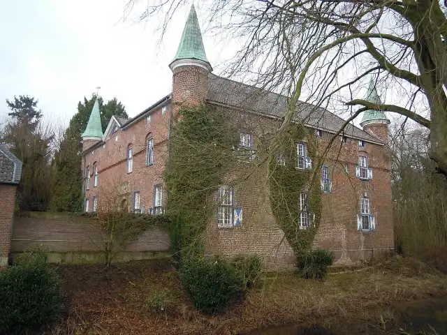 Schloss WalbeckCastle · 6.1 km from the route
- 8
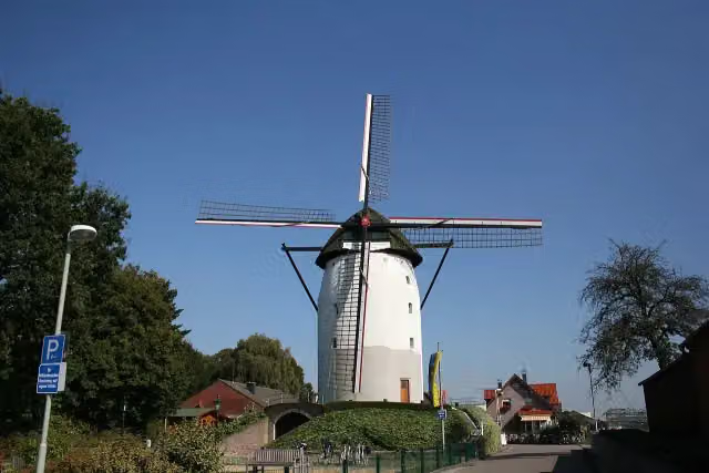 Steprather MühleAttraction · 7.5 km from the route
- 9
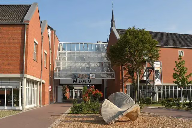 Niederrheinisches Museum für Volkskunde und KulturgeschichteMuseum · 7.6 km from the route
- 10
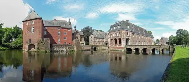 Schloss WissenCastle · 8.6 km from the route
- 11
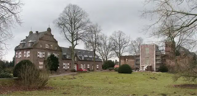 Hotel Schloss HertefeldRuins · 9.3 km from the route
- 12
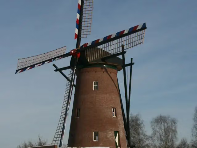 Houthuizer MolenAttraction · 9.7 km from the route
- 13
 Uitkijktoren WellerlooiObservation tower · 818 m from the route
- 14Kasteel WellCastle · 1.6 km from the route
- 15Expositie 40-45Museum · 1.7 km from the route
- 16Observation towerObservation tower · 1.9 km from the route
- 17Airport Power-TowerObservation tower · 3.5 km from the route
- 18Twester Höckskes HüssMuseum · 4.3 km from the route
- 19Observation towerObservation tower · 4.3 km from the route
- 20Celtic Field WalbeckerswegArchaeological site · 4.9 km from the route
- 21Celtic Field BroekhuizerdijkArchaeological site · 6.8 km from the route
- 22Celtic Field HazepootArchaeological site · 7.6 km from the route
- 23Oorlog in de PeelMuseum · 8.1 km from the route
- 24Fort HazepootArchaeological site · 8.2 km from the route
- 25Celtic Field ValkenheideArchaeological site · 8.8 km from the route
Explore more
More mountain bike trails around Bergen
Frequently asked questions
How long is Bergen (blauw)?
Bergen (blauw) is 16 km long. Allow ± 1:20 h of riding: 12 km an hour, without breaks.
Is this route a loop?
Yes, the route starts and ends at the same spot.
Where does this route start?
The route starts in Bergen.
How hard is this route?
Easy, with 26 m of climbing.
Are there toilets along this route?
No, there is no public toilet within 100 m of the route. Go before you start.
Can you fill up with water along this route?
No, there is no water point within 100 m of the route. Bring enough water.
Starting point
More routes from this place
Route data © OpenStreetMap contributors





