 Outdoor Pitstop
Cycle route · Roth · Updated on 14 November 2026
Fränkischer WasserRadweg cycle route
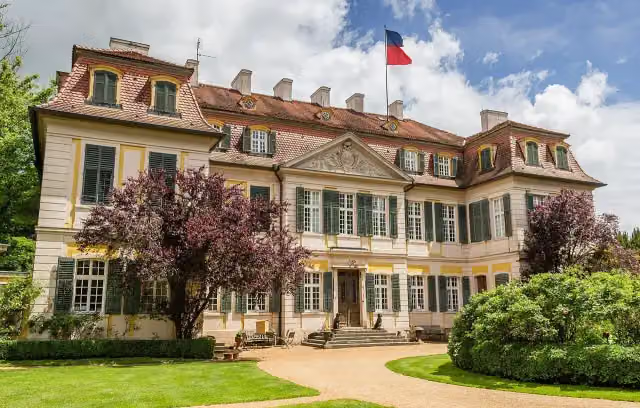
Fränkischer WasserRadweg is a cycle route of 447.9 km from Roth that starts and ends at the same spot. Along the way you'll find 956 benches, 28 water fountains and refill points, 83 public toilets, 13 bike pumps and 4 honesty boxes and farm vending machines.
i
i
i
The route step by step
From start to finish, with what you pass along the way and the distance in between.
- 447.9 km
- ± 3:00 h per stage
- ↑ 2,146 m · ↓ 2,048 m
- Moderate per stage
- Circular ride
- Regional route
Start in Roth
0 kmAt the start: water point and bike pump.
411 m · 5 benches

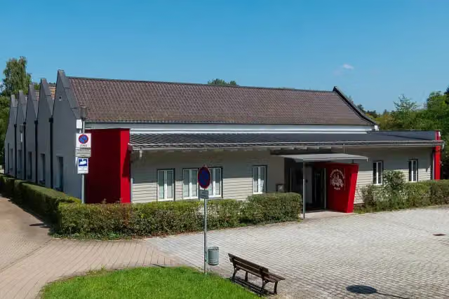
Fabrikmuseum Roth
411 mPublic toilet
864 m · 9 benches
Public toilet
1.3 km5.5 km · 4 benches
Water point
6.7 km6.3 km · 25 benches
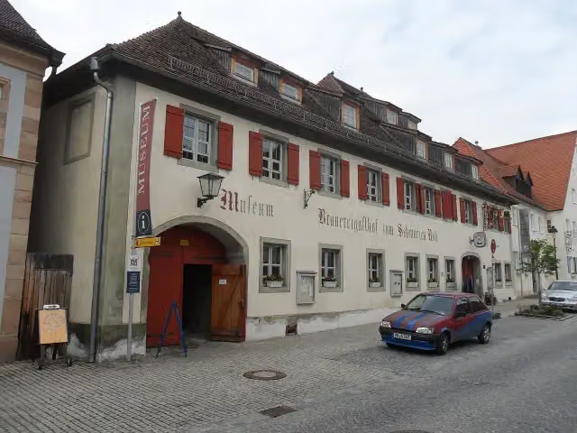
Zum Schwarzen Roß
13.1 km2 public toilets and bike pump
3.7 km · 31 benches
2 public toilets and water point
16.8 km222 m · 3 benches
Public toilet and bike pump
17 km2.7 km · 21 benches
Public toilet
19.7 km4.3 km · 14 benches
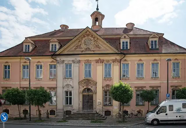
Gilardihaus and 1 more
24 kmGilardiAusstellung
25.1 km · 19 benches
Public toilet
49.1 km704 m · 17 benches
Kanalhafen Neumarkt
49.8 kmAttraction
370 m · 19 benches
Public toilet
50.2 km311 m · 44 benches
Münster St. Johannes
50.5 km4 public toilets, 2 water fountains and refill points and 2 bike pumps
280 m · 40 benches
Public toilet
50.8 km9 km · 32 benches
Public toilet
59.8 km4.9 km · bench
Treidelschiff Alma Viktoria
64.7 kmAttraction
6.4 km · bench
Honesty box
71.1 km487 m
Kriegerdenkmal and 1 more
71.6 kmHeimatmuseum Berching and public toilet
241 m · bench
Kriegerdenkmal
71.8 kmMemorial
5.1 km · 9 benches
2 public toilets and water point
76.9 km4.3 km · 5 benches
Public toilet
81.2 km888 m · 13 benches
Spielzeugmuseum
82.1 kmPublic toilet
1.6 km
2 water fountains and refill points
83.7 km4.1 km · 2 benches
2 public toilets
87.8 km5.9 km · 5 benches
Water point
93.7 km8 km · 4 benches
Public toilet
101.7 km3.2 km · 3 benches
Honesty box
104.9 km9.3 km · 13 benches
Kriegerdenkmal and 1 more
114.2 kmMuseum Fundreich, public toilet and bike pump
12.6 km · 9 benches
Heimatkundliche Sammlung
126.8 kmPublic toilet
6.3 km · 2 benches
Burgstall Altenheideck
133.1 kmCastle
Show the other 74 steps
3.4 km · bench
2 water fountains and refill points
136.5 km6.4 km · 15 benches
Water point
142.9 km3.1 km · 5 benches
Water point
146 km2.6 km · 5 benches
2 public toilets and 2 bike pumps
148.6 km7.2 km · 17 benches
Public toilet
155.7 km524 m · 14 benches
Observation tower
156.2 kmPublic toilet
241 m · 2 benches
Public toilet
156.5 km6.6 km · 20 benches
Public toilet
163.1 km11.7 km · 23 benches
3 public toilets
174.8 km157 m · 7 benches
2 public toilets
174.9 km189 m · 10 benches
Färberturm
175.1 kmAttraction
251 m · 14 benches
Public toilet and water point
175.4 km13.2 km · 29 benches
Public toilet
188.6 km1.1 km
Public toilet
189.7 km7.2 km · 7 benches
Public toilet
196.9 km442 m · 5 benches
5 water fountains and refill points
197.3 km172 m · 8 benches
Public toilet and water point
197.5 km485 m · 2 benches
Museum FLUVIUS - Fluss und Teich and 1 more
198 kmOberes Tor and 2 public toilets
285 m · 9 benches
Schloss Wassertrüdingen
198.3 kmCastle
24.6 km · 19 benches
Public toilet
222.9 km211 m
Public toilet
223.1 km188 m · 2 benches
Museum 3. Dimension
223.3 kmMuseum
437 m · 10 benches
Haus der Geschichte Dinkelsbühl and 2 more
223.7 kmHoly Cross, Christoph-von-Schmid-Denkmal, public toilet and water point
304 m · 19 benches
Färbermang and 1 more
224 kmMühlrad and 2 public toilets
14.3 km · 22 benches
Water point
238.3 km219 m · 7 benches
Jagsheimisches Schlösschen
238.5 kmCastle
14.4 km · 5 benches
Kloster Sulz
252.9 kmAttraction
6.5 km · 3 benches
Wasserturm
259.4 kmAttraction
355 m
Haus der Heimat
259.7 kmMuseum
10.3 km · 15 benches
2 public toilets
270.1 km5.3 km · 4 benches
Honesty box
275.3 km695 m
Honesty box
276 km2.7 km · 16 benches
Public toilet
278.8 km576 m · 3 benches
Public toilet
279.3 km15.9 km · 13 benches
Public toilet
295.2 km17.1 km · 10 benches
Lehrberger Schloss
312.3 kmBike pump
7.2 km · 15 benches
St. Gumbertus
319.5 kmMemorial
560 m · 4 benches
Public toilet
320.1 km166 m · 6 benches
Ulanen-Denkmal and 1 more
320.2 kmErnst von Bandel
154 m · 9 benches
Markgrafenmuseum and 2 more
320.4 kmAnsBACH-Säule, Der schmale Grat and public toilet
164 m · 12 benches
Robert Limpert
320.6 km2 public toilets
172 m · 7 benches
Herzog Albrecht von Brandenburg and 3 more
320.7 kmJohann Bernhard Endres, Markgräfliche Residenz, Simon-Marius-Denkmal and 2 water fountains and refill points
242 m · 14 benches
Platen-Denkmal and 1 more
321 kmKriegerdenkmal 1870-71 and public toilet
212 m · 14 benches
Orangerie
321.2 kmAttraction
18.8 km · 20 benches
Deutschordensschloss and 2 more
340 kmWolframs-Denkmal, Museum Wolfram von Eschenbach and public toilet
7.6 km · 6 benches
Water point
347.5 km2.1 km
Stadtturm and 1 more
349.7 kmBurg Windsbach and water point
1.4 km · 5 benches
Bike pump
351.1 km13.8 km · 8 benches
Public toilet
364.8 km9.8 km · 10 benches
Public toilet
374.7 km873 m · 4 benches
Public toilet
375.5 km423 m · 7 benches
Museum Schloss Ratibor and 1 more
376 kmSchloss Ratibor and bike pump
224 m · 6 benches
Water point and bike pump
376.2 km3.3 km · 4 benches
Heimatmuseum and 1 more
379.5 kmKriegerdenkmal and public toilet
4.1 km · 7 benches
Seckendorffer Schloss
383.5 kmCastle
519 m
Rotes Schloss
384 kmCastle
11.6 km · 18 benches
Deutsches Pinsel- und Bürstenmuseum and 1 more
395.6 kmSchloss Bechhofen
2.2 km
Public toilet
397.8 km11.1 km · 4 benches
Public toilet
408.9 km8.4 km · 5 benches
Public toilet
417.3 km285 m
Water point
417.6 km8.5 km · 2 benches
HopfenBierGut
426.1 kmPublic toilet and bike pump
201 m · 2 benches
Heimatstuben
426.3 kmMuseum
5.5 km · 4 benches
Public toilet
431.8 km357 m · 13 benches
2 public toilets
432.1 km7.1 km · 20 benches
Public toilet
439.3 km218 m · 2 benches
2 public toilets
439.5 km1.9 km · 3 benches
2 public toilets
441.4 km333 m · bench
Public toilet
441.7 km215 m · bench
2 public toilets
441.9 km582 m · 5 benches
Public toilet
442.5 km1.5 km · 2 benches
Public toilet
444 km3.7 km · 20 benches
2 public toilets
447.7 km243 m · 4 benches
Back at the start
447.9 km
Longest stretch without a toilet: 46 kmBetween 224 km and 270.1 km there is no public toilet within 100 m of the route.
The route with the water points, toilets and sights within 100 m of it.
60 sights along the way
In the order you pass them. With the Outdoor Pitstop app you hear their story on the spot. 52 more along the route are on the map.
i
Photo: Stefan Karl · Wikimedia Commons · CC BY-SA 4.0View the photo on Wikimedia CommonsMuseum · after 411 m
i
Photo: Aarp65 · Wikimedia Commons · CC BY-SA 3.0View the photo on Wikimedia CommonsMuseum · after 13.1 km
i
Photo: Tilman2007 · Wikimedia Commons · CC BY-SA 4.0View the photo on Wikimedia CommonsAttraction · after 24 km
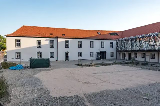
i
Photo: Tilman2007 · Wikimedia Commons · CC BY-SA 4.0View the photo on Wikimedia CommonsMuseum · after 24.1 km
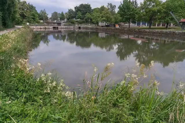
i
Photo: Derzno · Wikimedia Commons · CC BY-SA 4.0View the photo on Wikimedia CommonsAttraction · after 49.8 km
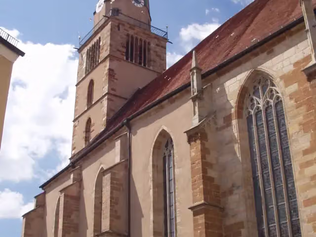
i
Photo: Matthias Platzek · Wikimedia Commons · CC BY-SA 3.0View the photo on Wikimedia CommonsAttraction · after 50.5 km
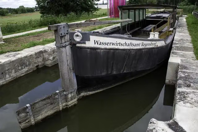
i
Photo: Derzno · Wikimedia Commons · CC BY 3.0View the photo on Wikimedia CommonsAttraction · after 64.7 km

Memorial · after 71.6 km
Stages (10)
Elevation and terrain
- Up
- ↑ 2,146 m
- Down
- ↓ 2,048 m
- Highest point
- 545 m
- Lowest point
- 334 m
- 5-10% slope · 7.9 km
- 10-15% slope · 631 m
- 20% slope or steeper · 280 m
- 1 flight of stairs
Elevation from Copernicus GLO-30 (European Union and ESA), smoothed.
produced using Copernicus WorldDEM-30 © DLR e.V. 2010-2014 and © Airbus Defence and Space GmbH 2014-2018 provided under COPERNICUS by the European Union and ESA; all rights reserved
Way types
447.9 km in total- Track: 132.7 km
- Road: 105.1 km
- Path: 99.1 km
- Street: 74.8 km
- Cycle path: 17 km
- Busy road: 10.9 km
- Footpath (walk your bike): 7.1 km
- Steps (carry your bike): 1 flight of stairs
Surfaces
447.9 km in total- Asphalt: 280.3 km
- Gravel: 74.8 km
- Paved: 35.1 km
- Unpaved: 1 km
- Natural: 175 m
- Unknown: 55.3 km
About the cycle route Fränkischer WasserRadweg
Updated on 14 November 2026, with data from OpenStreetMap, the AHN and Copernicus.
Where do you cycle?
Fränkischer WasserRadweg is a circular ride of 447.9 km from Roth: it starts and ends in the same place. Along the way you pass Fabrikmuseum Roth (after 411 m), Zum Schwarzen Roß (after 13.1 km) and Gilardihaus (after 24 km).
How hard is the route?
You climb 2,146 m in total and descend 2,048 m. There is 1 flight of steps along the way. Allow ± 3:00 h per stage, without breaks. Per stage the level is moderate.
What roads do you cycle on?
The longest part is track (132.7 km), road (105.1 km) and path (99.1 km). Of the surface, 280.3 km asphalt and 74.8 km gravel. For 55.3 km the surface is not known.
Pitstops along the way
Within 100 metres of the route there are 956 benches, 28 water fountains and refill points, 83 public toilets, 13 bike pumps and 4 honesty boxes and farm vending machines. The longest stretch without a toilet is 46 km. The Outdoor Pitstop app navigates you there.
Cycle routes nearby
3Sights nearby
Within 10 km of the route, best known first.
- 1
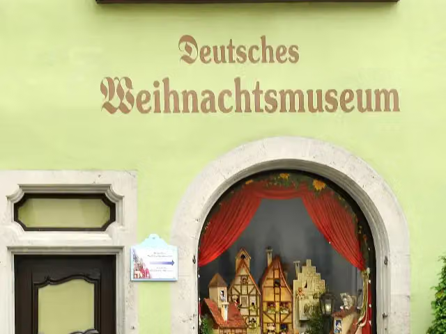 German Christmas MuseumMuseum · 654 m from the route
- 2
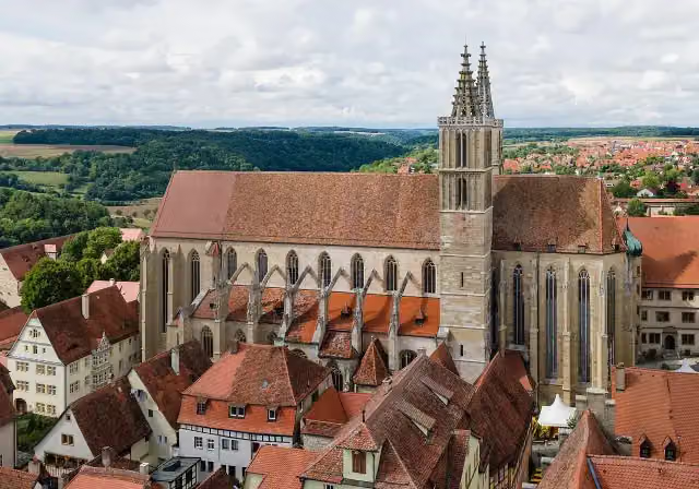 St James' ChurchAttraction · 783 m from the route
- 3
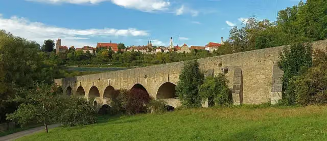 Double Bridge over the Tauber RiverAttraction · 497 m from the route
- 4
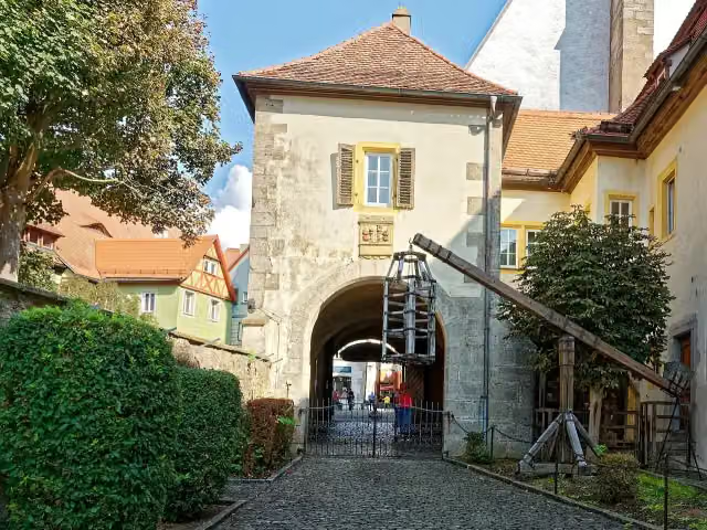 Medieval Crime MuseumMuseum · 513 m from the route
- 5
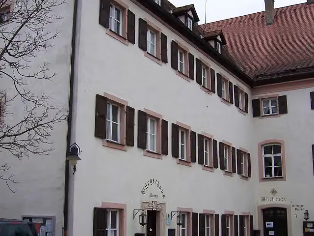 Heimat und BrauereimuseumMuseum · 96 m from the route
- 6
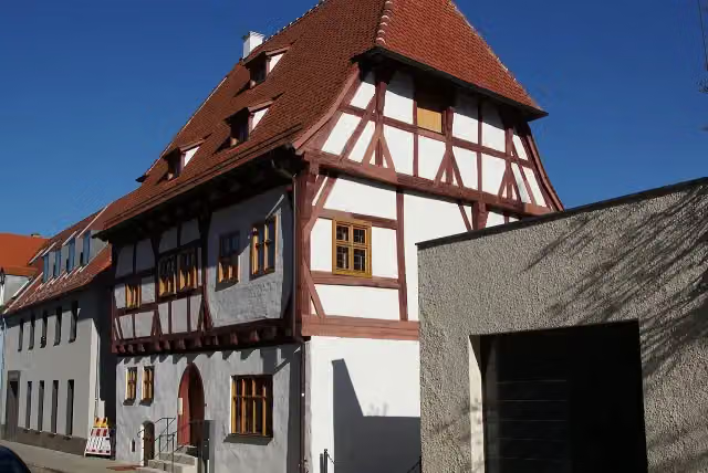 SchreiberhausMuseum · 111 m from the route
- 7
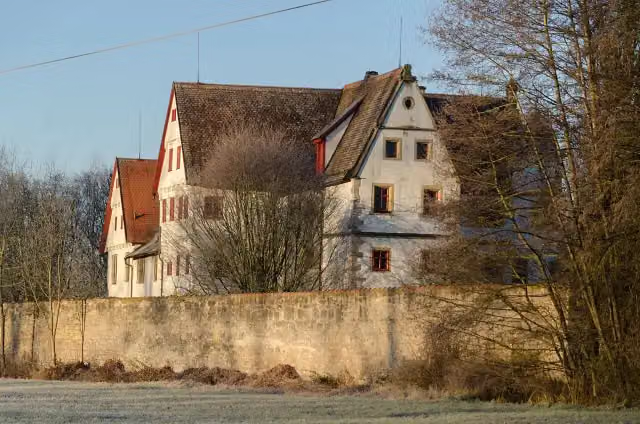 CastleCastle · 127 m from the route
- 8
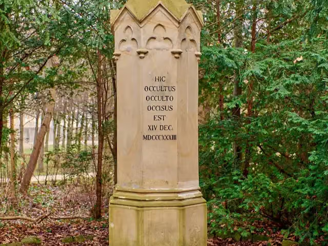 Kaspar-Hauser-DenkmalAttraction · 133 m from the route
- 9
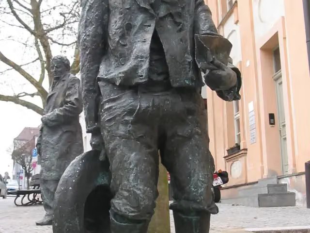 Kaspar-Hauser-DenkmalMemorial · 134 m from the route
- 10
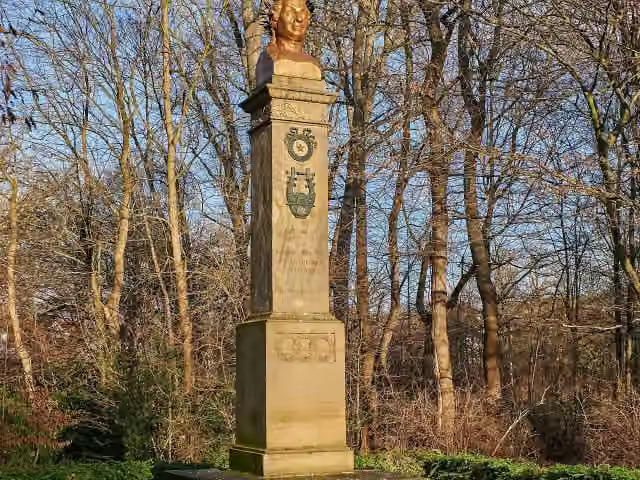 Uz-DenkmalMemorial · 135 m from the route
- 11
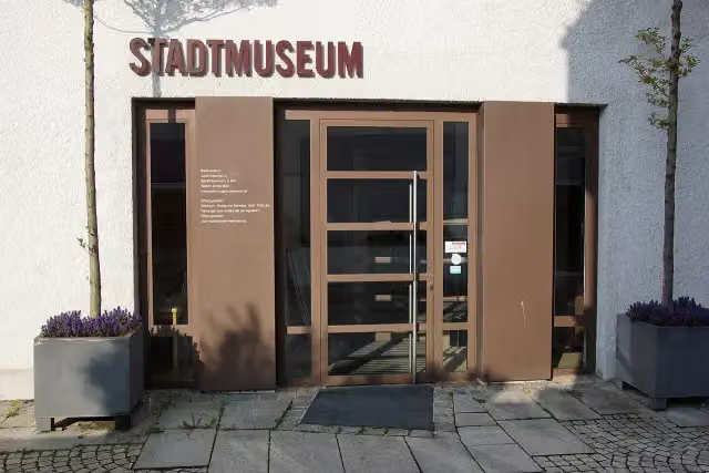 StadtmuseumMuseum · 142 m from the route
- 12
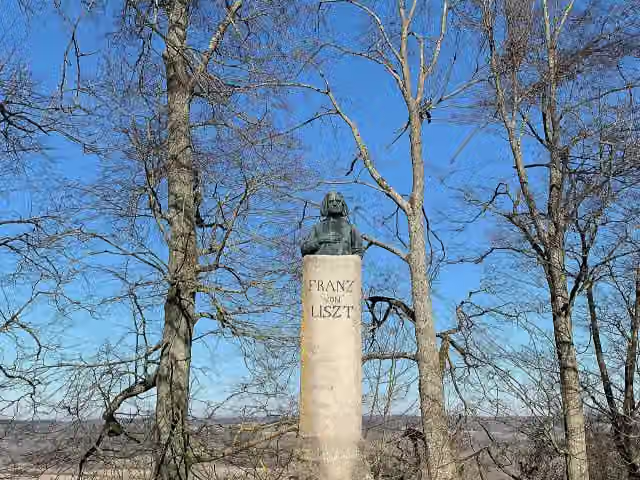 Franz von LisztMemorial · 146 m from the route
- 13
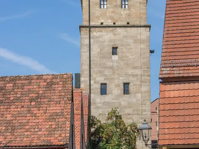 HandwerkerstubenMuseum · 146 m from the route
- 14
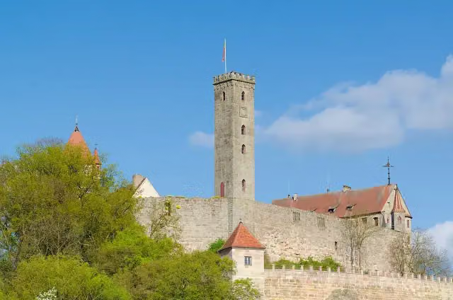 Burg AbenbergAttraction · 152 m from the route
- 15
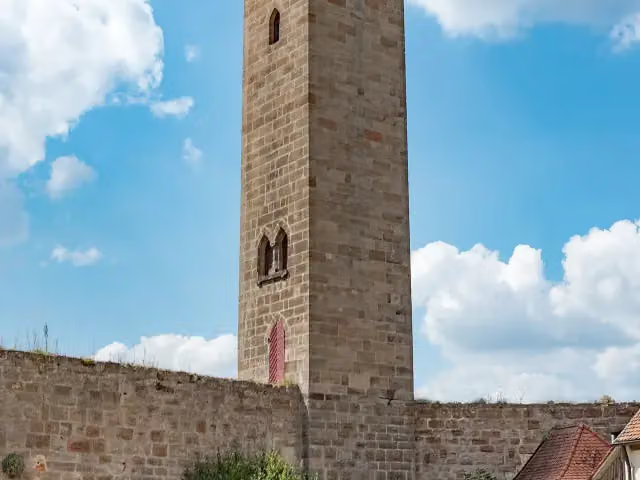 LuginslandViewpoint · 153 m from the route
- 16
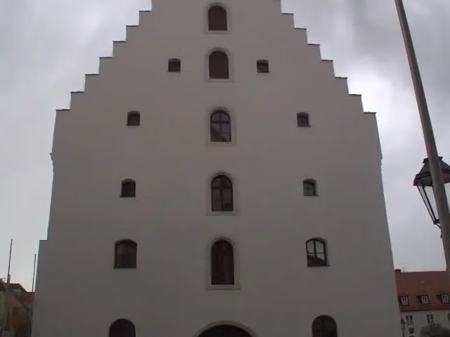 ReitstadelAttraction · 153 m from the route
- 17
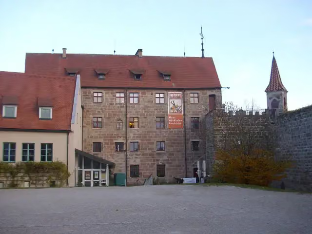 BurgmuseumMuseum · 173 m from the route
- 18
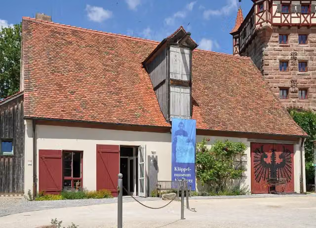 KlöppelmuseumMuseum · 176 m from the route
- 19
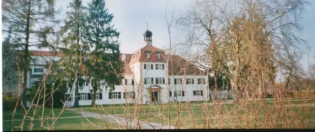 Weißes SchlossCastle · 178 m from the route
- 20
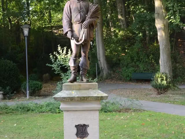 DinkelbauerMemorial · 187 m from the route
- 21
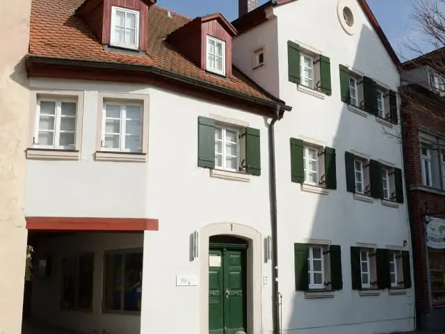 Archäologisches Museum GunzenhausenMuseum · 189 m from the route
- 22
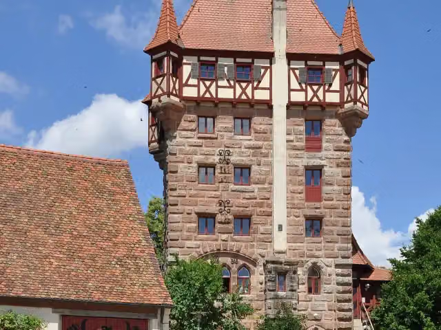 SchottenturmObservation tower · 193 m from the route
- 23
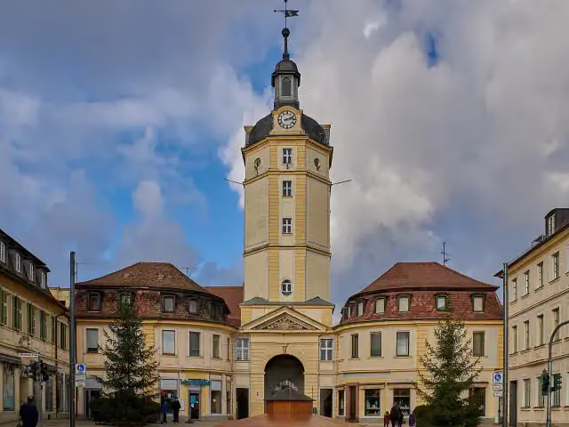 Herrieder TorAttraction · 196 m from the route
- 24
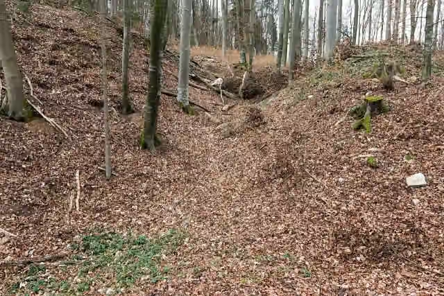 Burg LiebeneckCastle · 200 m from the route
- 25
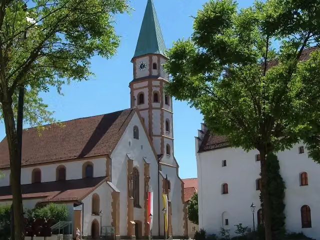 HofkircheAttraction · 203 m from the route
Explore more
More cycle routes around Roth
Frequently asked questions
How long is Fränkischer WasserRadweg?
Fränkischer WasserRadweg is 447.9 km long, in 10 parts of 44.8 km on average. Allow ± 3:00 h per part of riding: 15 km an hour, without breaks.
Is this route a circular ride?
Yes, the route starts and ends at the same spot.
Where does this route start?
The route starts in Roth.
How hard is this route?
Moderate per stage, with 215 m per stage of climbing.
Are there toilets along this route?
Yes, there are 83 public toilets within 100 m of the route. The longest stretch without a toilet is 46 km.
Can you fill up with water along this route?
Yes, there are 28 water fountains and refill points within 100 m of the route.
What is there to see along this route?
Along the way you pass Fabrikmuseum Roth, Zum Schwarzen Roß and Gilardihaus.
Can I download this route as a GPX file?
Yes. Sign in with your Outdoor Pitstop account and choose Download GPX at the top of this page: 10 routes a month for free, unlimited with Pro.
Starting point
More routes from this place
Route data © OpenStreetMap contributors





