 Outdoor Pitstop
Cycle route · Freiberg · Updated on 14 November 2026
cycle route
is a cycle route of 4.4 km from Freiberg. Along the way you'll find 16 benches and 2 public toilets.
i
The route step by step
From start to finish, with what you pass along the way and the distance in between.
- 4.4 km
- ± 20 min
- ↑ 22 m · ↓ 86 m
- Easy
- From A to B
- Regional route
Start in Freiberg
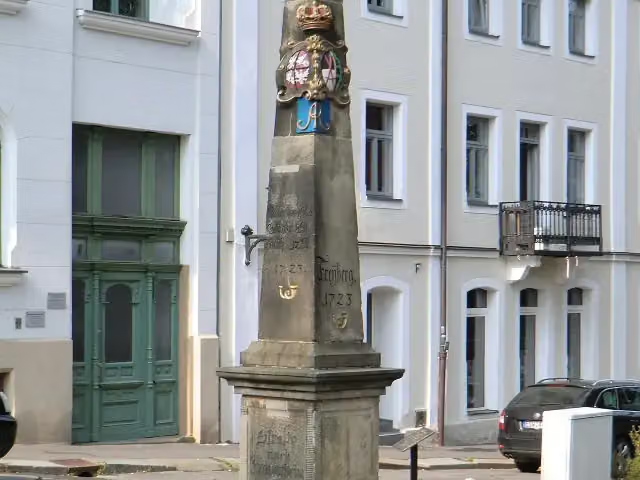
0 kmAt the start: Kursächsische Postmeilensäule.
277 m · 9 benches
2 public toilets
277 m4.1 km · 7 benches
Finish
4.4 km
Longest stretch without a toilet: 4.1 kmBetween 370 m and 4.4 km there is no public toilet within 100 m of the route.
The route with the pitstops and sights within 100 m of it.
1 sight along the way
In the order you pass them. With the Outdoor Pitstop app you hear their story on the spot.
i
Photo: Thogo · Wikimedia Commons · CC BY-SA 3.0View the photo on Wikimedia CommonsAttraction · after 0 m
Elevation and terrain
- Up
- ↑ 22 m
- Down
- ↓ 86 m
- Highest point
- 424 m
- Lowest point
- 333 m
- 5-10% slope · 302 m
Elevation from Copernicus GLO-30 (European Union and ESA), smoothed.
produced using Copernicus WorldDEM-30 © DLR e.V. 2010-2014 and © Airbus Defence and Space GmbH 2014-2018 provided under COPERNICUS by the European Union and ESA; all rights reserved
Way types
4.4 km in total- Street: 2.4 km
- Cycle path: 1.3 km
- Road: 575 m
- Path: 75 m
- Footpath (walk your bike): 25 m
- Busy road: 25 m
Surfaces
4.4 km in total- Asphalt: 4 km
- Paved: 25 m
- Unknown: 425 m
About the cycle route
Updated on 14 November 2026, with data from OpenStreetMap, the AHN and Copernicus.
Where do you cycle?
is a cycle route of 4.4 km that starts in Freiberg. It does not end where it starts. Along the way you pass Kursächsische Postmeilensäule (after 0 m).
How hard is the route?
You climb 22 m in total and descend 86 m. Allow ± 20 min, without breaks. The level is easy.
What roads do you cycle on?
The longest part is street (2.4 km), cycle path (1.3 km) and road (575 m). Of the surface, 4 km asphalt and 25 m paved. For 425 m the surface is not known.
Pitstops along the way
Within 100 metres of the route there are 16 benches and 2 public toilets. The longest stretch without a toilet is 4.1 km. The Outdoor Pitstop app navigates you there.
Cycle routes nearby
6- [D4] Mittelland-Route (Sachsen-West)Hard · From A to B113.6 km
- Sächsische Städteroute [Crimmitschau-Freiberg]Hard · From A to B106.7 km
- Radroute an der SilberstraßeHard · From A to B223.8 km
- Mulderadweg [Freiberger Mulde]Hard · From A to B113.5 km
- [D4] Mittelland-Route (Sachsen-Ost)Hard · From A to B180.7 km
- Radroute Meißen–OsterzgebirgeHard · From A to B111.6 km
Sights nearby
Within 10 km of the route, best known first.
- 1
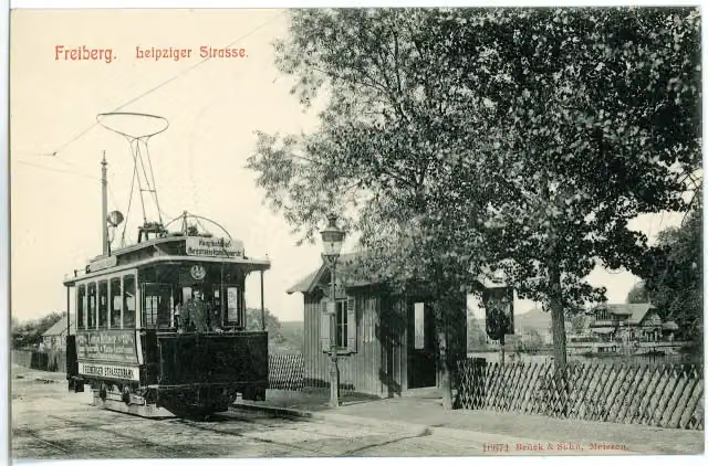 KlatschweiberbrunnenAttraction · 220 m from the route
- 2
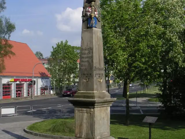 Kursächsische PostmeilensäuleAttraction · 464 m from the route
- 3
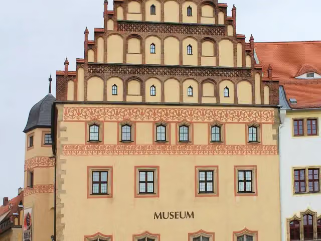 Stadt- und Bergbaumuseum FreibergMuseum · 500 m from the route
- 4
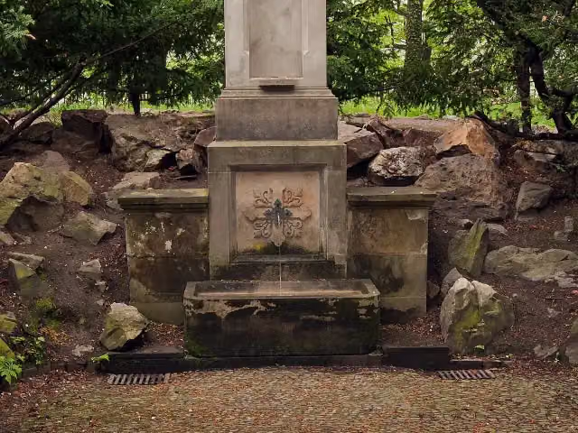 KreuzbrunnenAttraction · 612 m from the route
- 5
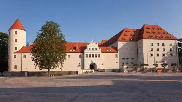 Schloss FreudensteinAttraction · 659 m from the route
- 6
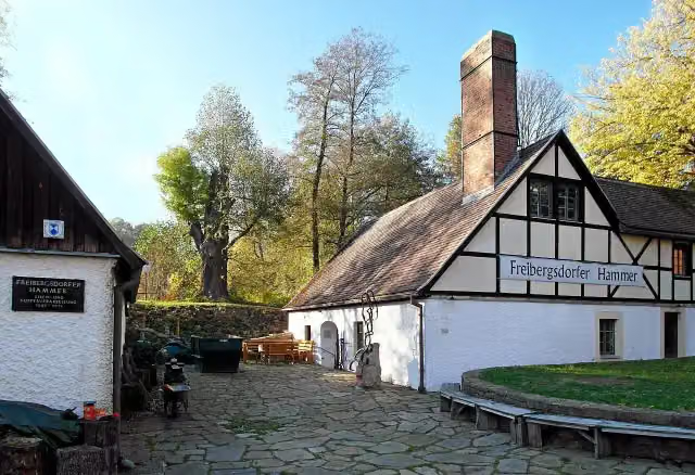 Freibergsdorfer HammerwerkAttraction · 1.5 km from the route
- 7
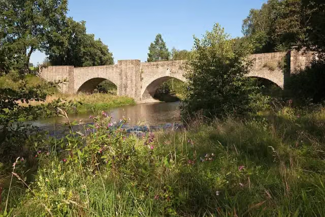 AltväterbrückeAttraction · 2.7 km from the route
- 8
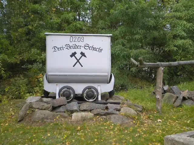 DreibrüderschachtAttraction · 3.4 km from the route
- 9
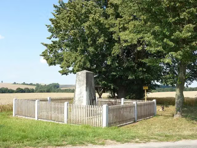 Fliegerdenkmal 1912Memorial · 4 km from the route
- 10
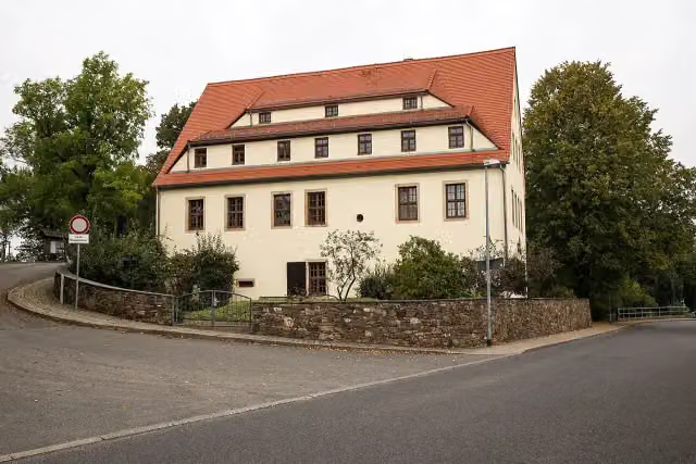 Huthaus EinigkeitMuseum · 5.3 km from the route
- 11
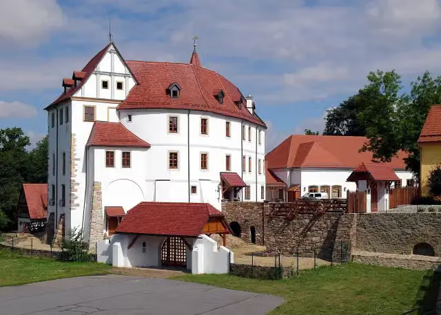 Schloss WeißenbornCastle · 5.8 km from the route
- 12
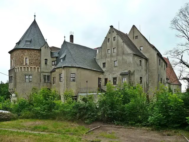 Schloss ReinsbergCastle · 7 km from the route
- 13
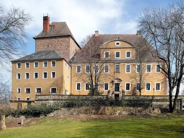 Schloss BiebersteinCastle · 7.6 km from the route
- 14
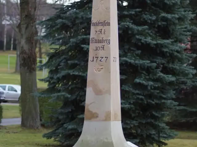 Kursächsische PostmeilensäuleAttraction · 9.3 km from the route
- 15
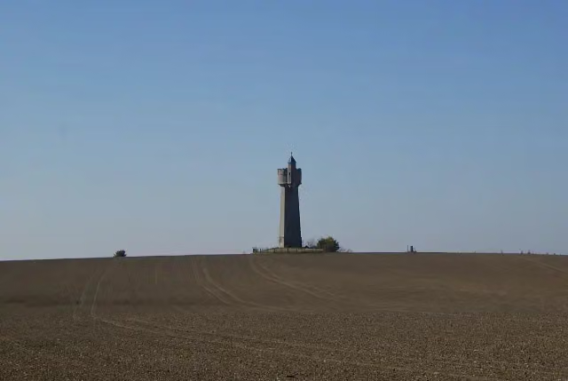 Wasserturm BräunsdorfAttraction · 9.8 km from the route
- 16
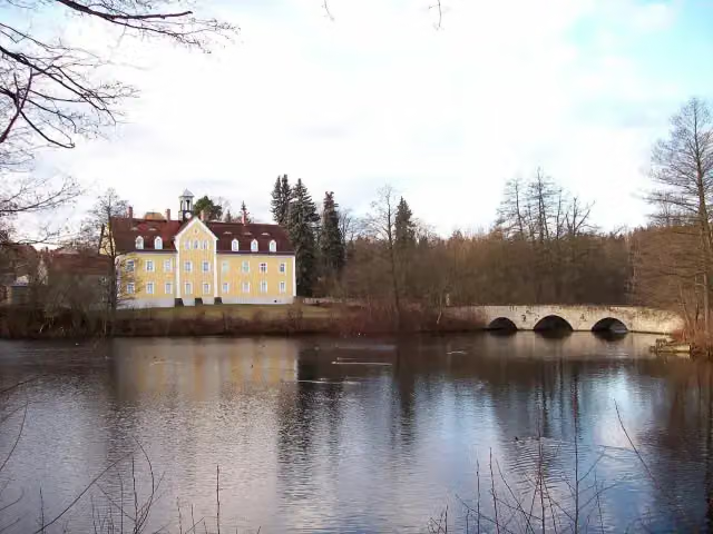 Jagdschloss GrillenburgCastle · 9.9 km from the route
- 17
 BismarckgedenktafelMemorial · 194 m from the route
- 18Geografischer Mittelpunkt SachsensMemorial · 6.1 km from the route
- 19Hetzdorfer HeimatpyramideAttraction · 7.5 km from the route
Explore more
More cycle routes around Freiberg
Frequently asked questions
How long is ?
is 4.4 km long. Allow ± 20 min of riding: 15 km an hour, without breaks.
Is this route a circular ride?
No, the route starts and ends at different spots.
Where does this route start?
The route starts in Freiberg.
How hard is this route?
Easy, with 22 m of climbing.
Are there toilets along this route?
Yes, there are 2 public toilets within 100 m of the route. The longest stretch without a toilet is 4.1 km.
Can you fill up with water along this route?
No, there is no water point within 100 m of the route. Bring enough water.
What is there to see along this route?
Along the way you pass Kursächsische Postmeilensäule.
Can I download this route as a GPX file?
Yes. Sign in with your Outdoor Pitstop account and choose Download GPX at the top of this page: 10 routes a month for free, unlimited with Pro.
Starting point
More routes from this place
Route data © OpenStreetMap contributors





