 Outdoor Pitstop
Cycle route · Oldenburg · Updated on 14 November 2026
Radroute der Megalithkultur cycle route
Radroute der Megalithkultur is a cycle route of 399.8 km from Oldenburg. Along the way you'll find 424 benches, 1 water point, 29 public toilets, 8 bike pumps and 6 honesty boxes and farm vending machines.
i
i
i
The route step by step
From start to finish, with what you pass along the way and the distance in between.
- 399.8 km
- ± 26:40 h
- ↑ 1,134 m · ↓ 1,067 m
- Hard
- From A to B
- Regional route
Start in Oldenburg
0 kmAt the start: public toilet.
867 m · 20 benches
Public toilet
867 m305 m · 2 benches

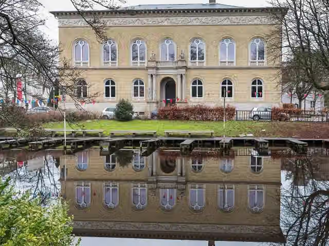
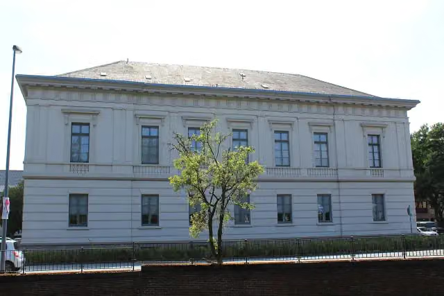
Augusteum and 1 more
1.2 kmPrinzenpalais
301 m
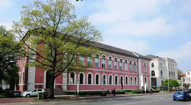
Landesmuseum Natur und Mensch Oldenburg
1.5 kmMuseum
7.6 km · 9 benches
Public toilet
9.1 km9 km · 4 benches
Public toilet
18 km434 m
Neptun
18.5 kmAttraction
312 m · bench
Public toilet
18.8 km4 km · 4 benches
Public toilet
22.8 km15.6 km · 27 benches
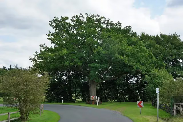
Friedenseiche in Bergedorf
38.4 kmAttraction
14.1 km · 8 benches
Public toilet
52.5 km280 m · 3 benches
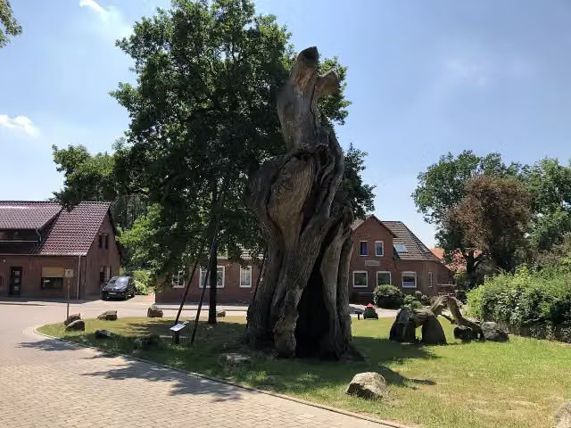
1000-jährige Eiche
52.8 kmAttraction
1.4 km · 6 benches
Honesty box
54.1 km5.6 km · 28 benches
Public toilet
59.8 km4.1 km · 24 benches
Public toilet
63.8 km18 km · 11 benches
Honesty box
81.9 km7.1 km
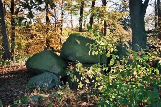
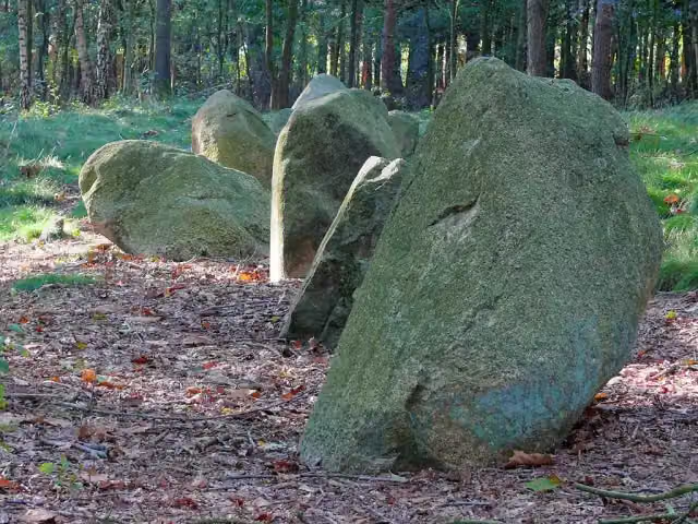
Großsteingrab Ahlhorn
89 kmArchaeological site
18.5 km · 8 benches
Public toilet
107.5 km201 m
Bike pump
107.7 km794 m · 15 benches
Burg Cloppenburg
108.5 kmCastle
183 m · 4 benches
3 public toilets
108.7 km21.7 km · 17 benches
Teufelssteine
130.4 kmArchaeological site
14.2 km · 4 benches
De hoogen Steener
144.6 kmArchaeological site
3.9 km · 4 benches
Public toilet
148.5 km24.2 km · 7 benches
Großsteingrab Hüven-Süd
172.7 kmArchaeological site
1.1 km
Der Koloss von Hüven
173.8 kmBike pump
3.1 km · 3 benches
Großsteingrab im Ipeken
176.9 kmArchaeological site
6.9 km
Public toilet
183.8 km306 m
Ganggrab Groß-Stavern 1
184.1 kmArchaeological site
1.4 km
Großsteingrab Klein Stavern 1
185.5 kmArchaeological site
Show the other 32 steps
5.8 km · 2 benches
Der steinerne Schlüssel
191.3 kmArchaeological site
10.3 km · 4 benches
Public toilet
201.6 km209 m · 3 benches
2 public toilets
201.8 km5.1 km · 2 benches
Public toilet
206.9 km8.6 km
Public toilet and honesty box
215.5 km346 m
2 honesty boxes and farm vending machines
215.8 km2.3 km
Honesty box
218.2 km4 km · 19 benches
Public toilet
222.1 km35.4 km · 6 benches
Public toilet
257.6 km17.8 km · 10 benches
Bike pump
275.4 km16.7 km · 14 benches
Schloss Eggermühlen
292.2 kmCastle
1.1 km
Bike pump
293.3 km5.8 km · 3 benches
Public toilet and bike pump
299.1 km8.2 km · 3 benches
Großsteingrab Rickelmann 1
307.2 kmArchaeological site
391 m · 2 benches
Großsteingrab Grumfeld West
307.6 kmArchaeological site
428 m
Großsteingrab Grumfeld Ost and 1 more
308 kmSteinkiste Giersfeld
21.2 km · 4 benches
Tuchmacher Museum Bramsche
329.3 kmMuseum
6.5 km · 13 benches
Bike pump
335.8 km10.2 km · 8 benches
Karlsteine
346 kmArchaeological site
1.8 km
Bike pump
347.9 km3.8 km · 2 benches
Östringer Steine 2
351.6 kmArchaeological site
4.3 km · 7 benches
Public toilet
355.9 km8.2 km · 4 benches
Bike pump
364.1 km6 km · 2 benches
Darpvenner Steine II
370.1 kmArchaeological site
1.7 km
Driehauser Steine
371.9 kmArchaeological site
21 km · 7 benches
Gretescher Steine
392.8 kmArchaeological site
4.2 km · 4 benches
Public toilet
397.1 km1.2 km · 54 benches
Public toilet and water point
398.3 km933 m · 20 benches
Haarmannsbrunnen
399.2 kmAttraction
234 m · 7 benches
Hexengang and 1 more
399.4 kmForum am Dom - Domschatzkammer und Diözesanmuseum
161 m · 2 benches
Löwenpudel
399.6 km2 public toilets
256 m · 9 benches
Finish
399.8 kmAt the finish: Erich Maria Remarque-Friedenszentrum, Fritz-Wolf-Denkmal and public toilet.
Longest stretch without a toilet: 56.8 kmBetween 299.2 km and 355.9 km there is no public toilet within 100 m of the route.
The route with the pitstops and sights within 100 m of it.
33 sights along the way
In the order you pass them. With the Outdoor Pitstop app you hear their story on the spot. 25 more along the route are on the map.
i
Photo: JoachimKohler-HB · Wikimedia Commons · CC BY-SA 4.0View the photo on Wikimedia CommonsMuseum · after 1.2 km
i
Photo: Wissenerleben · Wikimedia Commons · CC BY-SA 4.0View the photo on Wikimedia CommonsMuseum · after 1.2 km
i
Photo: Dbleicher (Diskussion) · Wikimedia Commons · CC BY-SA 3.0 deView the photo on Wikimedia CommonsMuseum · after 1.5 km

Attraction · after 18.5 km
i
Photo: Ralf Krebs · Wikimedia Commons · CC BY 3.0View the photo on Wikimedia CommonsAttraction · after 38.4 km
i
Photo: Pathumthani · Wikimedia Commons · CC BY-SA 4.0View the photo on Wikimedia CommonsAttraction · after 52.8 km
i
Photo: Holger rix · Wikimedia Commons · CC BY-SA 3.0View the photo on Wikimedia CommonsArchaeological site · after 89 km
i
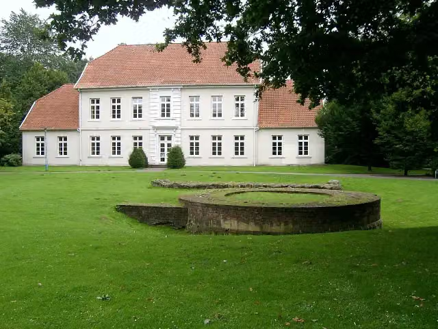
Photo: Carsten Niehaus (Lumbar) · Wikimedia Commons · CC BY-SA 1.0View the photo on Wikimedia CommonsCastle · after 108.5 km
Elevation and terrain
- Up
- ↑ 1,134 m
- Down
- ↓ 1,067 m
- Highest point
- 135 m
- Lowest point
- 4 m
Nowhere steeper than 5%.
Elevation from Copernicus GLO-30 (European Union and ESA), smoothed.
produced using Copernicus WorldDEM-30 © DLR e.V. 2010-2014 and © Airbus Defence and Space GmbH 2014-2018 provided under COPERNICUS by the European Union and ESA; all rights reserved
Way types
399.8 km in total- Road: 166.4 km
- Path: 77.7 km
- Street: 72.9 km
- Track: 50.3 km
- Cycle path: 18.2 km
- Busy road: 10.8 km
- Footpath (walk your bike): 2.9 km
- Unknown: 75 m
Surfaces
399.8 km in total- Asphalt: 234.1 km
- Paved: 43.5 km
- Gravel: 36.7 km
- Unpaved: 5.5 km
- Natural: 900 m
- Unknown: 78.4 km
About the cycle route Radroute der Megalithkultur
Updated on 14 November 2026, with data from OpenStreetMap, the AHN and Copernicus.
Where do you cycle?
Radroute der Megalithkultur is a cycle route of 399.8 km that starts in Oldenburg. It does not end where it starts. You start in Oldenburg and finish in Osnabrück. Along the way you pass Augusteum (after 1.2 km), Prinzenpalais (after 1.2 km) and Landesmuseum Natur und Mensch Oldenburg (after 1.5 km).
How hard is the route?
You climb 1,134 m in total and descend 1,067 m. Allow ± 26:40 h, without breaks. The level is hard.
What roads do you cycle on?
The longest part is road (166.4 km), path (77.7 km) and street (72.9 km). Of the surface, 234.1 km asphalt and 43.5 km paved. For 78.4 km the surface is not known.
Pitstops along the way
Within 100 metres of the route there are 424 benches, 1 water point, 29 public toilets, 8 bike pumps and 6 honesty boxes and farm vending machines. You can fill your bottle after 398.3 km. The longest stretch without a toilet is 56.8 km. The Outdoor Pitstop app navigates you there.
Cycle routes nearby
5Sights nearby
Within 10 km of the route, best known first.
- 1
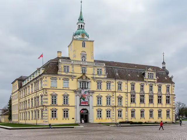 Schloss OldenburgAttraction · 121 m from the route
- 2
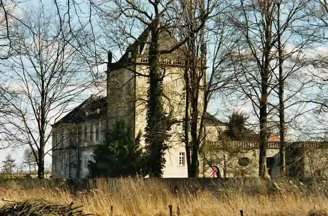 Schloss GesmoldCastle · 8.5 km from the route
- 3
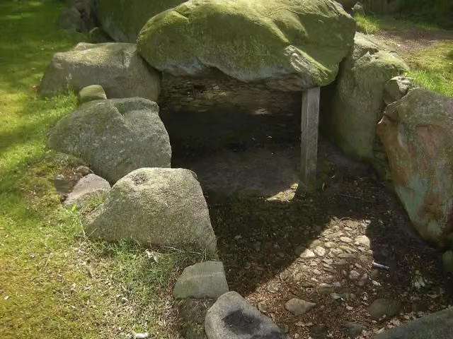 Großsteingrab "Dötlinger Steingrab"Archaeological site · 63 m from the route
- 4
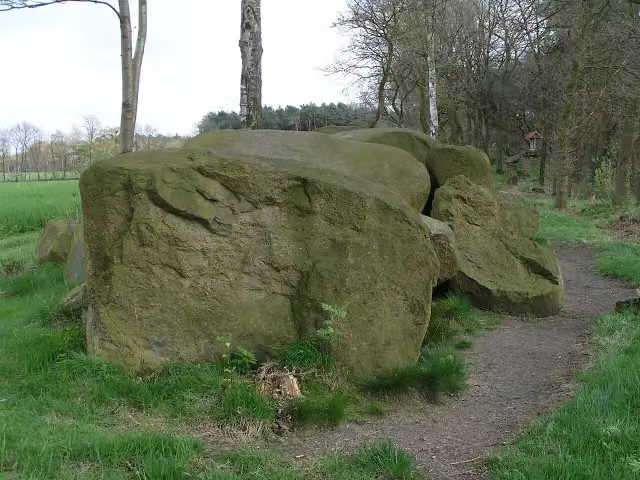 Großsteingrab Hekese BAttraction · 96 m from the route
- 5
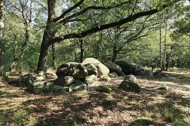 Königsgrab von Groß BerßenArchaeological site · 111 m from the route
- 6
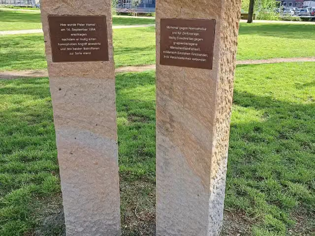 Mahnmal Peter HamelMemorial · 116 m from the route
- 7
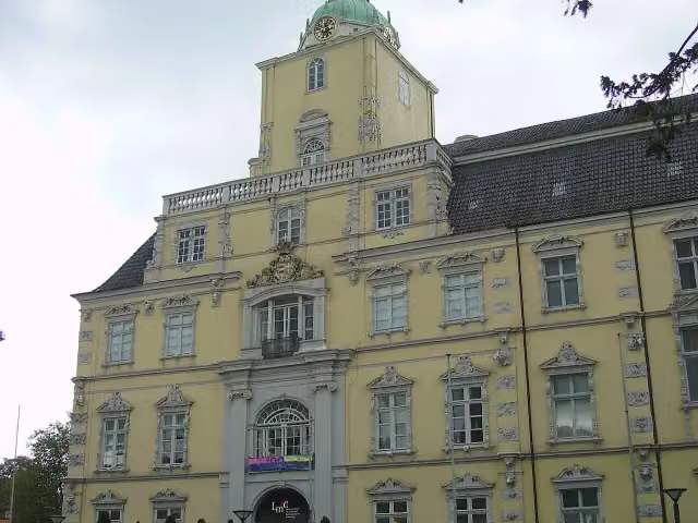 Landesmuseum Kunst & Kultur OldenburgMuseum · 125 m from the route
- 8
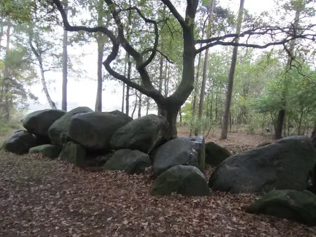 Großsteingrab Wiemelsberger SteineArchaeological site · 125 m from the route
- 9
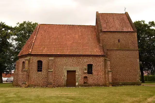 St. Antonius KapelleAttraction · 135 m from the route
- 10
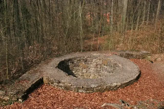 WittekindsburgArchaeological site · 136 m from the route
- 11
 Oldenburger Computer-MuseumMuseum · 138 m from the route
- 12
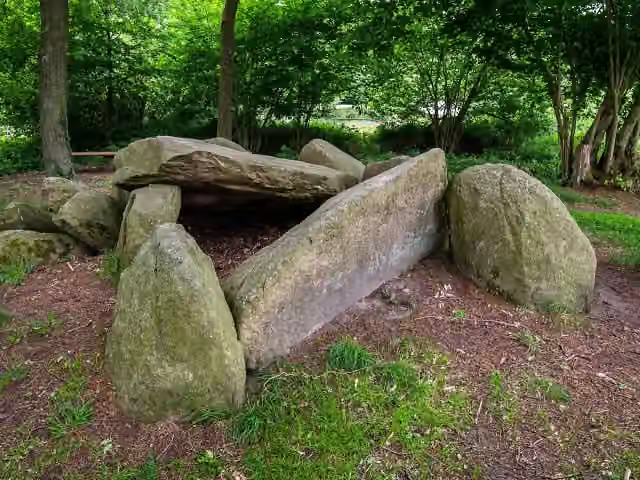 Teufels BackofenArchaeological site · 146 m from the route
- 13
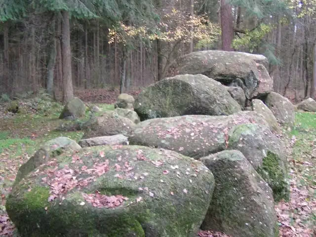 Großsteingrab Hohe SteineArchaeological site · 156 m from the route
- 14
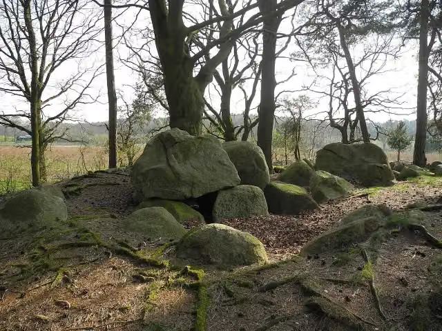 Großsteingrab Rickelmann 2Archaeological site · 157 m from the route
- 15
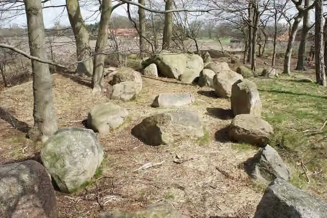 Großsteingrab Steinkimmen 3Archaeological site · 169 m from the route
- 16
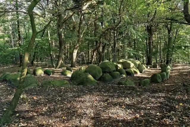 Volbers Hünensteine (Hüven Nord)Archaeological site · 182 m from the route
- 17
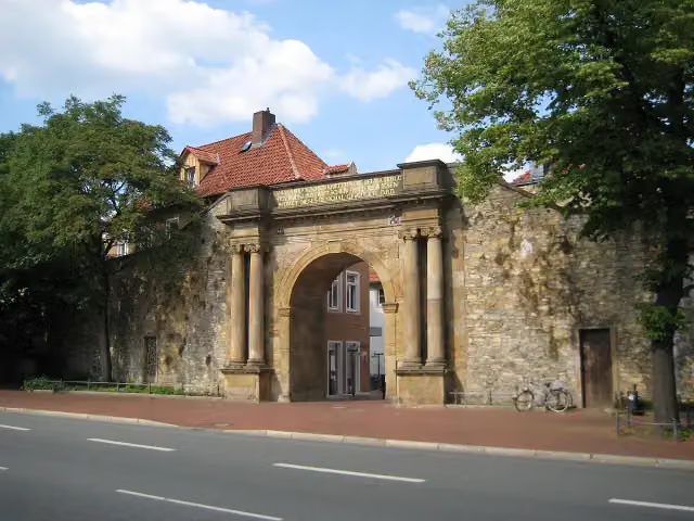 Waterloo-TorMemorial · 188 m from the route
- 18
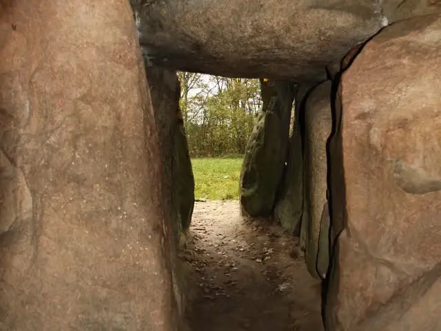 Kleinenkneter Steine 1Archaeological site · 196 m from the route
- 19
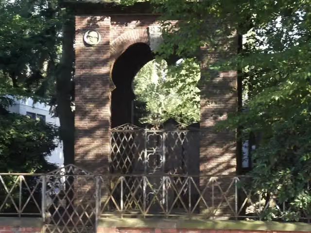 Oldb. Dragoner-DenkmalMemorial · 198 m from the route
- 20
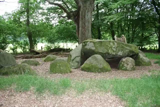 HeidenopfertischArchaeological site · 218 m from the route
- 21
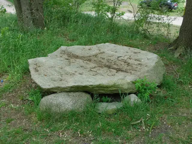 Bargloyer SteinkisteArchaeological site · 249 m from the route
- 22
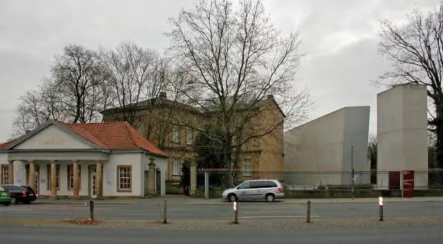 Kulturgeschichtliches MuseumMuseum · 254 m from the route
- 23
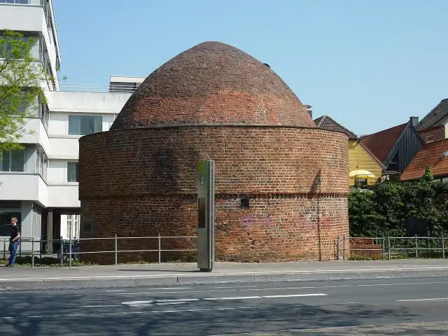 PulverturmAttraction · 255 m from the route
- 24
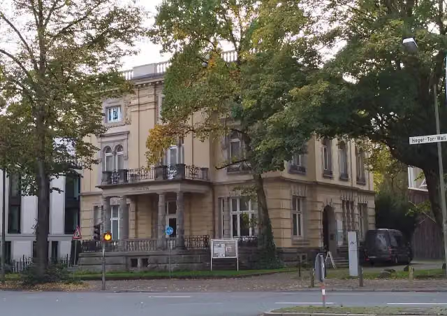 Die Villa_Museum · 279 m from the route
- 25
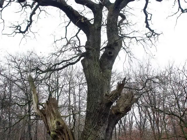 FriederikeneicheAttraction · 280 m from the route
Explore more
More cycle routes around Oldenburg
Frequently asked questions
How long is Radroute der Megalithkultur?
Radroute der Megalithkultur is 399.8 km long. Allow ± 26:40 h of riding: 15 km an hour, without breaks.
Is this route a circular ride?
No, the route runs from Oldenburg to Osnabrück.
Where does this route start?
The route starts in Oldenburg.
How hard is this route?
Hard, with 1,134 m of climbing.
Are there toilets along this route?
Yes, there are 29 public toilets within 100 m of the route. The longest stretch without a toilet is 56.8 km.
Can you fill up with water along this route?
Yes, there are 1 water point within 100 m of the route.
What is there to see along this route?
Along the way you pass Augusteum, Prinzenpalais and Landesmuseum Natur und Mensch Oldenburg.
Can I download this route as a GPX file?
Yes. Sign in with your Outdoor Pitstop account and choose Download GPX at the top of this page: 10 routes a month for free, unlimited with Pro.
Starting point
More routes from this place
Route data © OpenStreetMap contributors





