 Outdoor Pitstop
Cycle route · Jerichow · Updated on 14 November 2026
Telegraphenradweg (Abschnitt Sachsen-Anhalt) cycle route
Telegraphenradweg (Abschnitt Sachsen-Anhalt) is a cycle route of 85.5 km from Jerichow. Along the way you'll find 182 benches, 4 water fountains and refill points, 7 public toilets and 2 bike pumps.
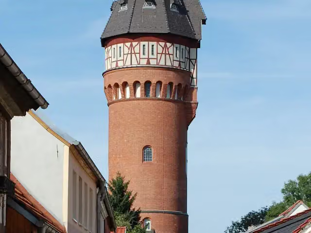
i
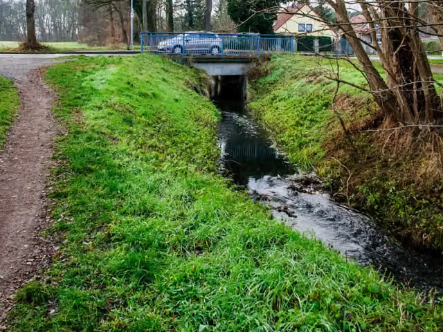
i
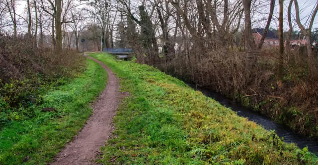
i
The route step by step
From start to finish, with what you pass along the way and the distance in between.
- 85.5 km
- ± 5:40 h
- ↑ 189 m · ↓ 152 m
- Hard
- From A to B
- Regional route
Start in Jerichow
0 km20.7 km · bench
2 water fountains and refill points
20.7 km7.7 km

Kriegerdenkmal
28.4 kmMemorial
13.3 km · 5 benches
Public toilet
41.8 km640 m · 6 benches
Historische Gerberei and 2 more
42.4 kmWasserturm and Synagoge Burg
576 m · 4 benches
Sankt Johannes
43 kmAttraction
5.7 km · 35 benches
Kriegerdenkmal
48.7 kmMemorial
1.5 km
Maulbeerbaum Schermen
50.2 kmAttraction
12.7 km
Erster Weltkrieg and 1 more
62.8 kmBefreiungskriege
7.2 km · 3 benches
Public toilet
70.1 km212 m
Public toilet
70.3 km3.6 km · 4 benches
Bike pump
73.8 km952 m · 29 benches
Public toilet
74.8 km1.5 km · 8 benches
Otto-von-Guericke-Museum
76.3 kmMuseum
402 m · 5 benches
Public toilet
76.7 km441 m · 12 benches
Fahnenmonument
77.1 kmMemorial
238 m · 2 benches
Luther-Denkmal and 3 more
77.3 kmMagdeburger Reiter, Magdeburger Roland and Hirschsäule
173 m
Public toilet and water point
77.5 km827 m · 26 benches
Water point and bike pump
78.3 km160 m · 2 benches
Public toilet
78.5 km7 km · 40 benches
Finish
85.5 km
Longest stretch without a toilet: 41.8 kmBetween 0 km and 41.8 km there is no public toilet within 100 m of the route.
The route with the pitstops and sights within 100 m of it.
15 sights along the way
In the order you pass them. With the Outdoor Pitstop app you hear their story on the spot. 7 more along the route are on the map.
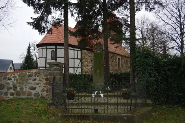
i
Photo: Clemensfranz · Wikimedia Commons · CC BY-SA 4.0View the photo on Wikimedia CommonsMemorial · after 28.4 km

Museum · after 42.4 km
i
Photo: Olaf Meister · Wikimedia Commons · CC BY-SA 3.0View the photo on Wikimedia CommonsAttraction · after 42.5 km
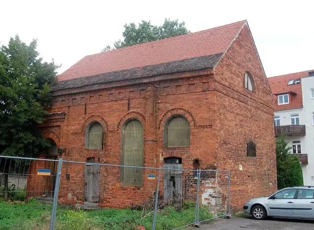
i
Photo: Olaf Meister · Wikimedia Commons · CC BY-SA 3.0View the photo on Wikimedia CommonsAttraction · after 42.5 km
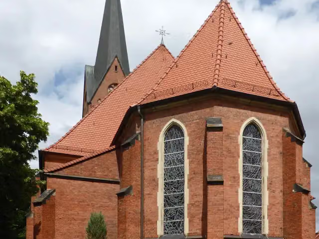
Attraction · after 43 km
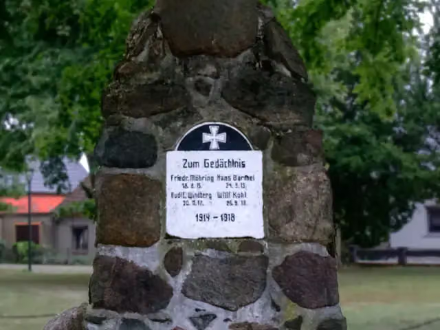
i
Photo: Georgfotoart · Wikimedia Commons · CC BY-SA 4.0View the photo on Wikimedia CommonsMemorial · after 48.7 km
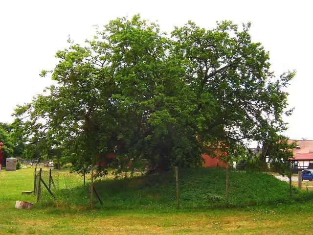
Attraction · after 50.2 km
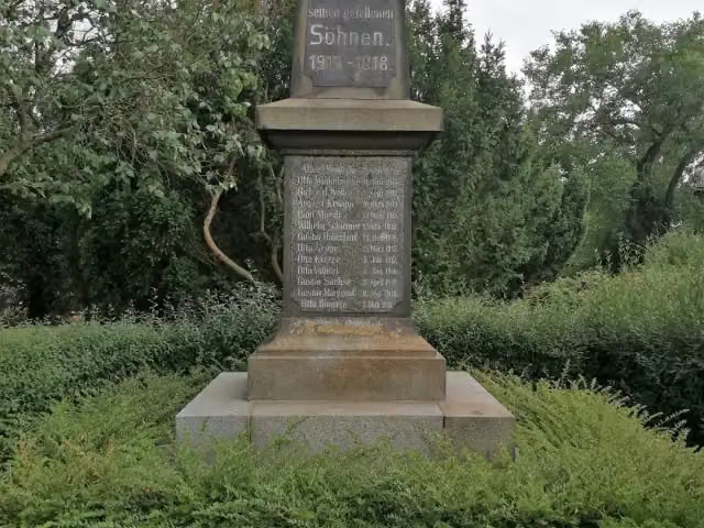
i
Photo: Max Lankau · Wikimedia Commons · CC BY-SA 4.0View the photo on Wikimedia CommonsMemorial · after 62.8 km
Elevation and terrain
- Up
- ↑ 189 m
- Down
- ↓ 152 m
- Highest point
- 98 m
- Lowest point
- 36 m
Nowhere steeper than 5%.
Elevation from Copernicus GLO-30 (European Union and ESA), smoothed.
produced using Copernicus WorldDEM-30 © DLR e.V. 2010-2014 and © Airbus Defence and Space GmbH 2014-2018 provided under COPERNICUS by the European Union and ESA; all rights reserved
Way types
85.5 km in total- Road: 26.6 km
- Street: 22.8 km
- Track: 17.9 km
- Path: 14.8 km
- Footpath (walk your bike): 1.3 km
- Cycle path: 1.3 km
- Busy road: 600 m
Surfaces
85.5 km in total- Asphalt: 61.6 km
- Paved: 14 km
- Gravel: 5.5 km
- Natural: 1.6 km
- Unknown: 2.7 km
About the cycle route Telegraphenradweg (Abschnitt Sachsen-Anhalt)
Updated on 14 November 2026, with data from OpenStreetMap, the AHN and Copernicus.
Where do you cycle?
Telegraphenradweg (Abschnitt Sachsen-Anhalt) is a cycle route of 85.5 km that starts in Jerichow. It does not end where it starts. Along the way you pass Kriegerdenkmal (after 28.4 km), Historische Gerberei (after 42.4 km) and Wasserturm (after 42.5 km).
How hard is the route?
You climb 189 m in total and descend 152 m. Allow ± 5:40 h, without breaks. The level is hard.
What roads do you cycle on?
The longest part is road (26.6 km), street (22.8 km) and track (17.9 km). Of the surface, 61.6 km asphalt and 14 km paved. For 2.7 km the surface is not known.
Pitstops along the way
Within 100 metres of the route there are 182 benches, 4 water fountains and refill points, 7 public toilets and 2 bike pumps. You can fill your bottle after 20.7 km, after 20.8 km, after 77.7 km and after 78.3 km. The longest stretch without a toilet is 41.8 km. The Outdoor Pitstop app navigates you there.
Part of Telegraphenradweg Berlin - Koblenz
Website of the routeCycle routes nearby
3Sights nearby
Within 10 km of the route, best known first.
- 1
 Cathedral of MagdeburgAttraction · 716 m from the route
- 2
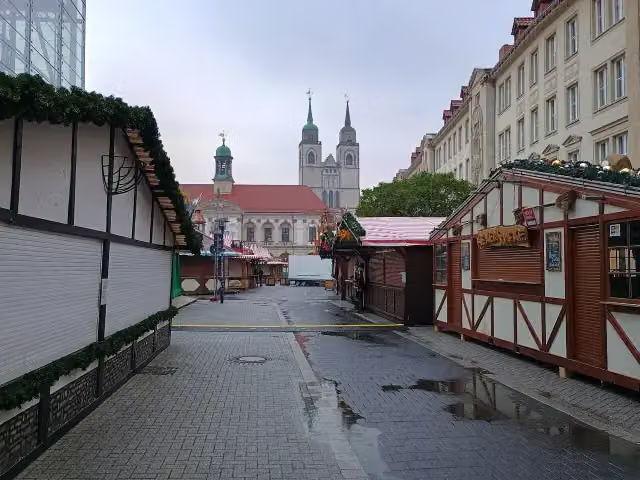 Alter MarktAttraction · 107 m from the route
- 3
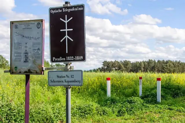 Optische Telegraphenstation 12Attraction · 130 m from the route
- 4
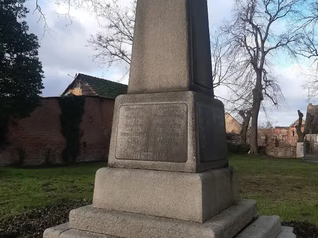 Kriegerdenkmal KarowMemorial · 132 m from the route
- 5
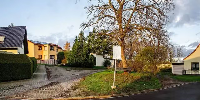 Telegrafenstation 13 Biederitz TelegraphenbergAttraction · 140 m from the route
- 6
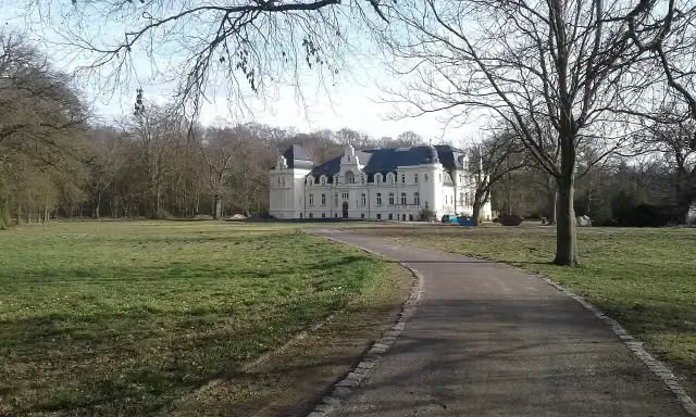 Rittergut BrandensteinCastle · 151 m from the route
- 7
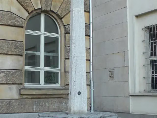 Eisenbarth-BrunnenMemorial · 172 m from the route
- 8
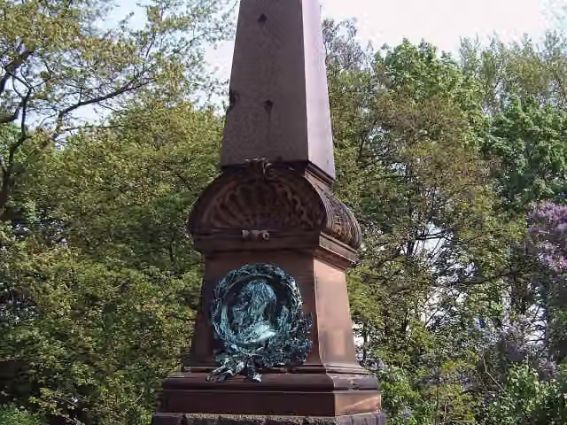 Kozlowski-DenkmalMemorial · 209 m from the route
- 9
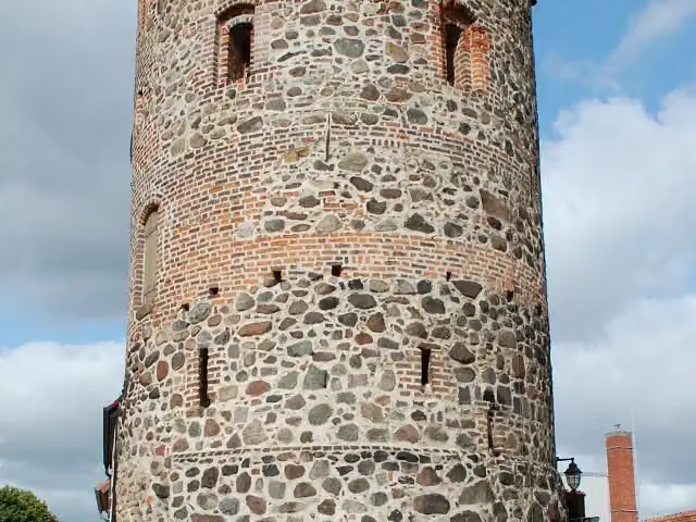 Berliner TorturmAttraction · 243 m from the route
- 10
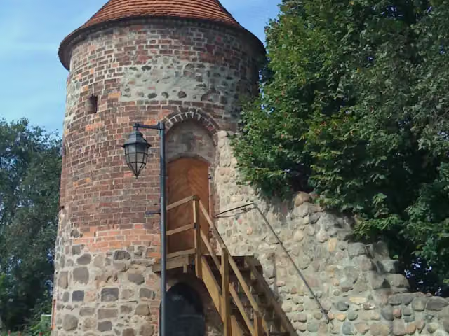 HexenturmAttraction · 257 m from the route
- 11
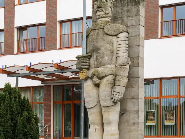 Burger RolandMemorial · 259 m from the route
- 12
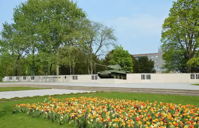 Sowjetisches EhrenmalMonument · 264 m from the route
- 13
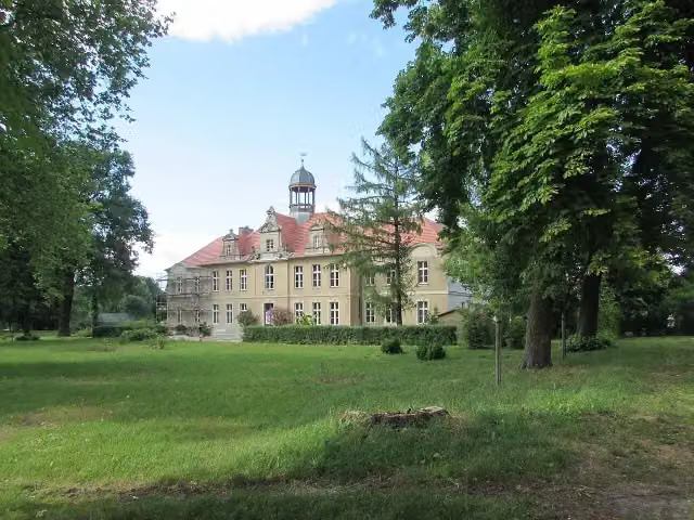 Gutshaus KarowCastle · 274 m from the route
- 14
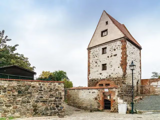 KuhturmAttraction · 319 m from the route
- 15
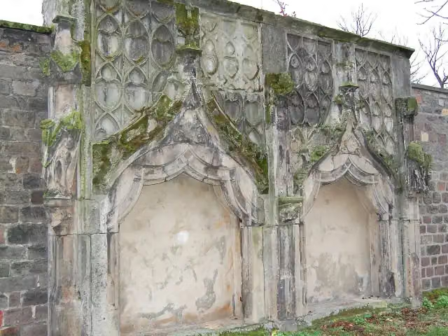 Wallfahrtskapelle zum ÖlbergMemorial · 323 m from the route
- 16
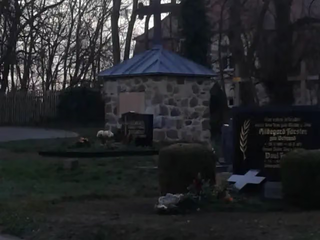 Kriegerdenkmal KrüssauMemorial · 369 m from the route
- 17
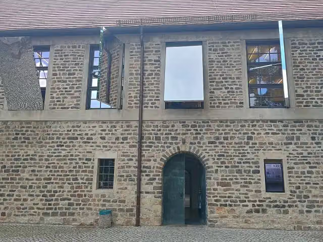 Kunstmuseum Kloster Unser Lieben FrauenMuseum · 371 m from the route
- 18
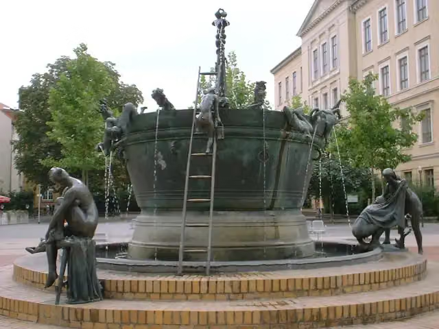 FaunbrunnenAttraction · 376 m from the route
- 19
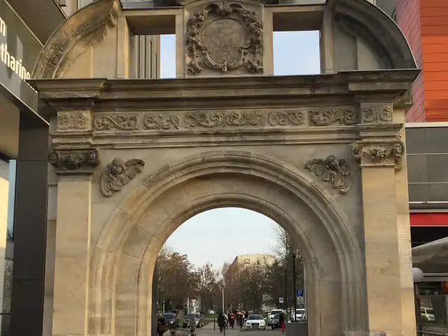 KatharinenportalMonument · 408 m from the route
- 20
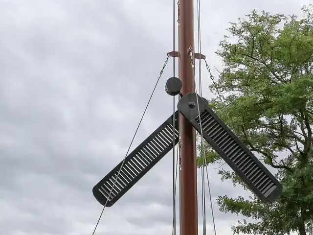 Telegraph Ziegelsdorf Station 11Attraction · 422 m from the route
- 21
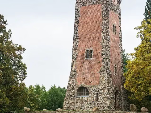 Bismarckturm Burg MagdeburgObservation tower · 475 m from the route
- 22
 Grüne Zitadelle von MagdeburgAttraction · 488 m from the route
- 23
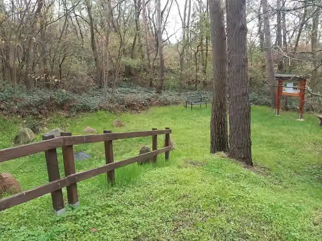 Gedenkstätte "Der Opfer des Faschismus"Memorial · 506 m from the route
- 24
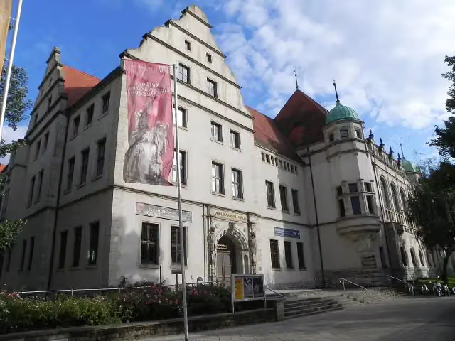 Kulturhistorisches MuseumMuseum · 710 m from the route
- 25
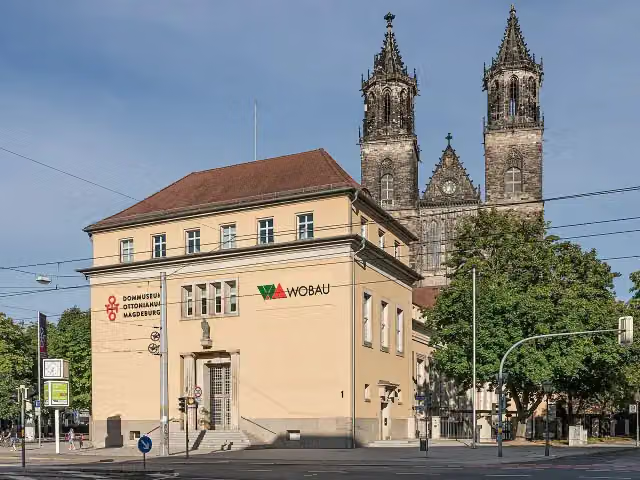 Dommuseum OttonianumMuseum · 728 m from the route
Explore more
More cycle routes around Jerichow
Frequently asked questions
How long is Telegraphenradweg (Abschnitt Sachsen-Anhalt)?
Telegraphenradweg (Abschnitt Sachsen-Anhalt) is 85.5 km long. Allow ± 5:40 h of riding: 15 km an hour, without breaks.
Is this route a circular ride?
No, the route starts and ends at different spots.
Where does this route start?
The route starts in Jerichow.
How hard is this route?
Hard, with 189 m of climbing.
Are there toilets along this route?
Yes, there are 7 public toilets within 100 m of the route. The longest stretch without a toilet is 41.8 km.
Can you fill up with water along this route?
Yes, there are 4 water fountains and refill points within 100 m of the route.
What is there to see along this route?
Along the way you pass Kriegerdenkmal, Historische Gerberei and Wasserturm.
Can I download this route as a GPX file?
Yes. Sign in with your Outdoor Pitstop account and choose Download GPX at the top of this page: 10 routes a month for free, unlimited with Pro.
Starting point
More routes from this place
Route data © OpenStreetMap contributors





