 Outdoor Pitstop
Cycle route · Lenzen (Elbe) · Updated on 14 November 2026
Eldetal-Rundweg cycle route
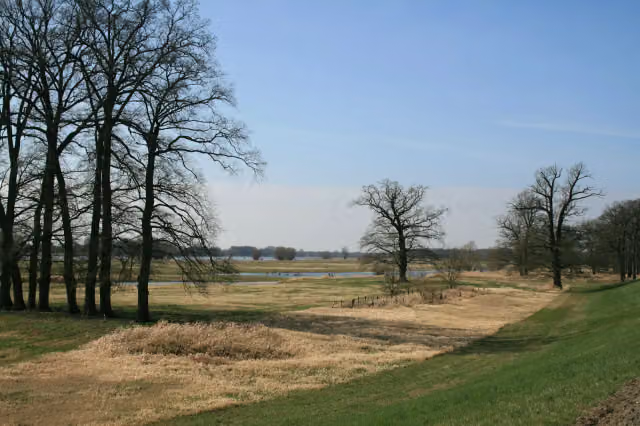
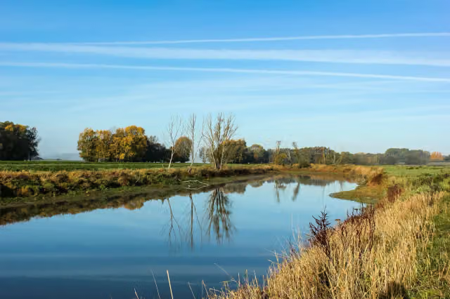
Eldetal-Rundweg is a cycle route of 159.3 km from Lenzen (Elbe). Along the way you'll find 55 benches.
i
i
i
The route step by step
From start to finish, with what you pass along the way and the distance in between.
- 159.3 km
- ± 10:35 h
- ↑ 400 m · ↓ 360 m
- Hard
- From A to B
- Regional route
Start in Lenzen (Elbe)
0 km4.4 km

Rudower Seeblick
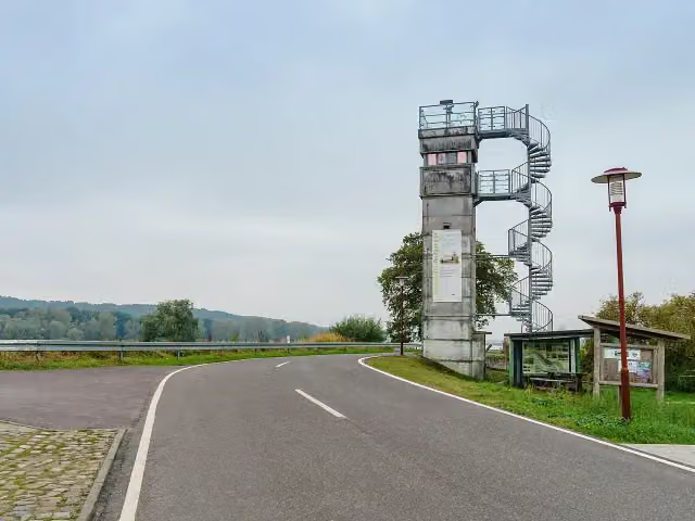
4.4 kmObservation tower
7.1 km · 5 benches
Observation tower
11.6 kmObservation tower
265 m
Grenzturm
11.8 kmObservation tower
147.4 km · 50 benches
Finish
159.3 km
No public toilet along the wayThere is no public toilet within 100 m of the route. Go before you start, or find one a bit further away in the app.
The route with the pitstops and sights within 100 m of it.
3 sights along the way
In the order you pass them. With the Outdoor Pitstop app you hear their story on the spot.

Observation tower · after 4.4 km
Observation tower · after 11.6 km
i
Photo: Radler59 · Wikimedia Commons · CC BY-SA 4.0View the photo on Wikimedia CommonsObservation tower · after 11.8 km
Elevation and terrain
- Up
- ↑ 400 m
- Down
- ↓ 360 m
- Highest point
- 171 m
- Lowest point
- 16 m
- 5-10% slope · 800 m
Elevation from Copernicus GLO-30 (European Union and ESA), smoothed.
produced using Copernicus WorldDEM-30 © DLR e.V. 2010-2014 and © Airbus Defence and Space GmbH 2014-2018 provided under COPERNICUS by the European Union and ESA; all rights reserved
Way types
159.3 km in total- Road: 75 km
- Track: 29.6 km
- Busy road: 29.4 km
- Street: 16.1 km
- Cycle path: 5.3 km
- Path: 3.8 km
Surfaces
159.3 km in total- Asphalt: 88.1 km
- Gravel: 22 km
- Paved: 15.5 km
- Unpaved: 1.3 km
- Unknown: 32.3 km
About the cycle route Eldetal-Rundweg
Updated on 14 November 2026, with data from OpenStreetMap, the AHN and Copernicus.
Where do you cycle?
Eldetal-Rundweg is a cycle route of 159.3 km that starts in Lenzen (Elbe). It does not end where it starts. Along the way you pass Rudower Seeblick (after 4.4 km), Observation tower (after 11.6 km) and Grenzturm (after 11.8 km).
How hard is the route?
You climb 400 m in total and descend 360 m. Allow ± 10:35 h, without breaks. The level is hard.
What roads do you cycle on?
The longest part is road (75 km), track (29.6 km) and busy road (29.4 km). Of the surface, 88.1 km asphalt and 22 km gravel. For 32.3 km the surface is not known.
Pitstops along the way
Within 100 metres of the route there are 55 benches. There is no public toilet within 100 metres of the route. The Outdoor Pitstop app navigates you there.
Cycle routes nearby
6- Elbe-Müritz RundwegHard · Circular ride420.3 km
- Historische Stadtkerne Route 3Hard · From A to B285.2 km
- Tour Brandenburg 4Hard · From A to B74.5 km
- [D10] Elberadweg rechtselbisch [Abschnitt F]Hard · From A to B77 km
- EuroVelo 13 - Iron Curtain Trail - part 6Moderate · From A to B36.5 km
- Vier-Länder-GrenzradwegModerate · From A to B56.9 km
Sights nearby
Within 10 km of the route, best known first.
- 1
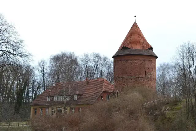 Plauer BurgCastle · 116 m from the route
- 2
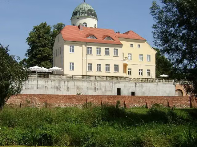 Burg LenzenCastle · 125 m from the route
- 3
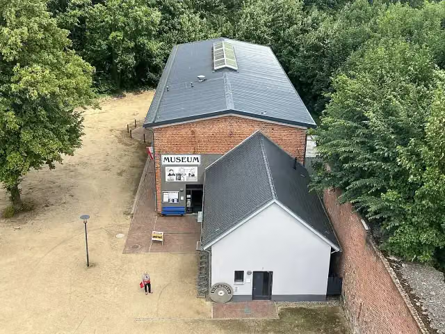 BurgmuseumMuseum · 142 m from the route
- 4
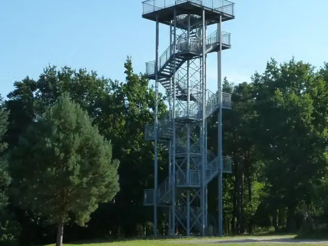 Aussichtsturm KarenzObservation tower · 462 m from the route
- 5
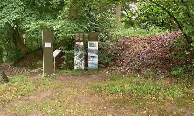 SchwedenschanzeArchaeological site · 747 m from the route
- 6
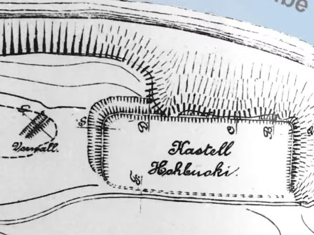 Vietzer SchanzeArchaeological site · 784 m from the route
- 7
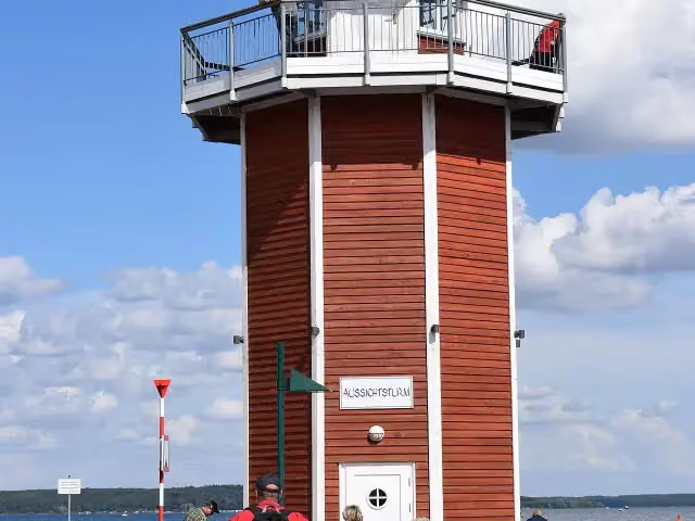 Leuchtturm PlauObservation tower · 795 m from the route
- 8
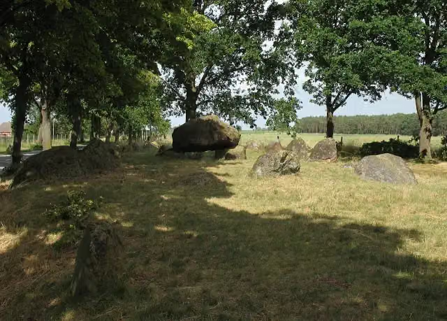 Großsteingrab MellenArchaeological site · 2 km from the route
- 9
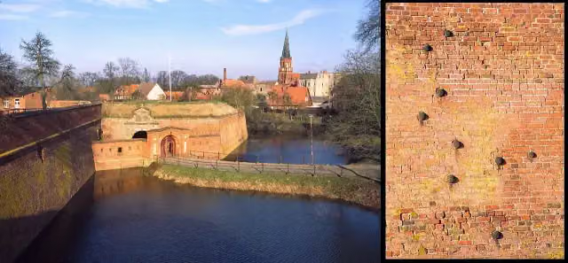 Festung DömitzAttraction · 2.9 km from the route
- 10
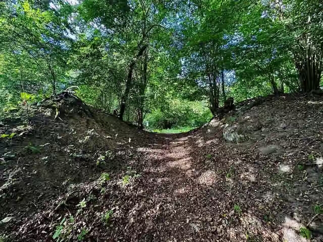 Burgwall ZislowArchaeological site · 3.8 km from the route
- 11
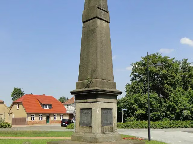 Hauptmeilenstein LudwigslustAttraction · 4.2 km from the route
- 12
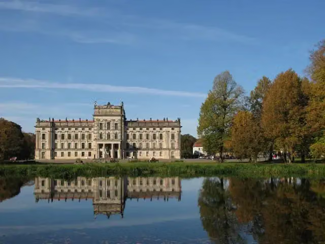 Schloss LudwigslustCastle · 4.4 km from the route
- 13
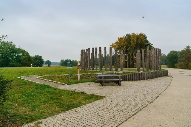 Woodhenge am HasenbergAttraction · 4.7 km from the route
- 14
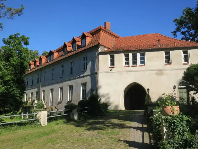 Schloss NeuhausenCastle · 4.9 km from the route
- 15
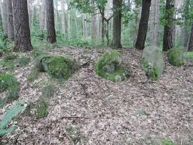 Großsteingrab Zislow 1Archaeological site · 5.3 km from the route
- 16
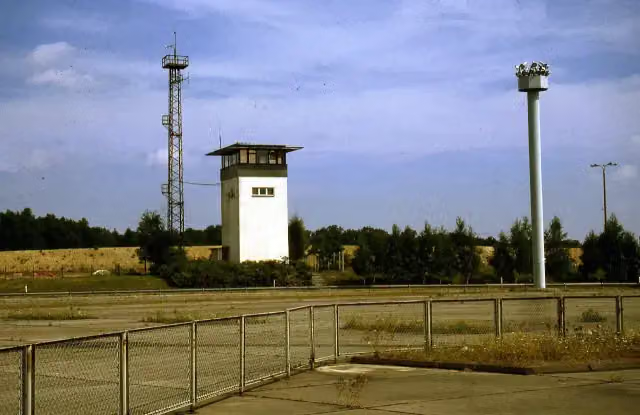 GrenzturmObservation tower · 5.4 km from the route
- 17
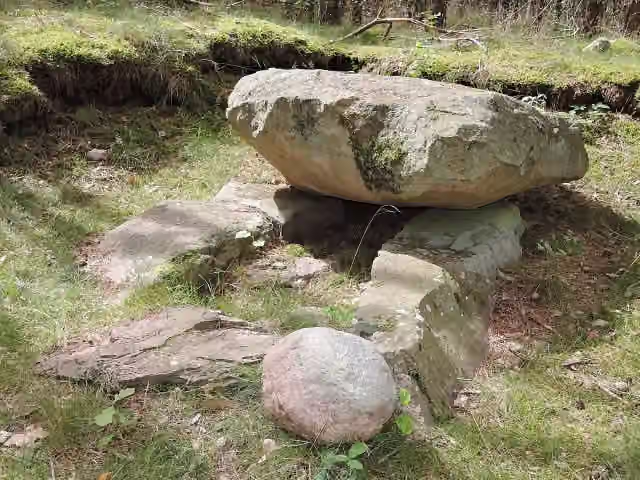 Großsteingrab Zislow 2Archaeological site · 5.4 km from the route
- 18
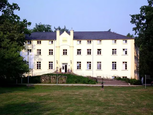 Schloss GadowCastle · 6.1 km from the route
- 19
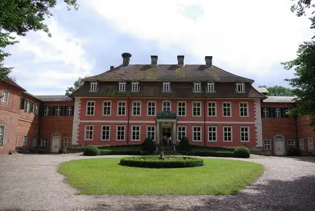 Schloss GartowCastle · 6.5 km from the route
- 20
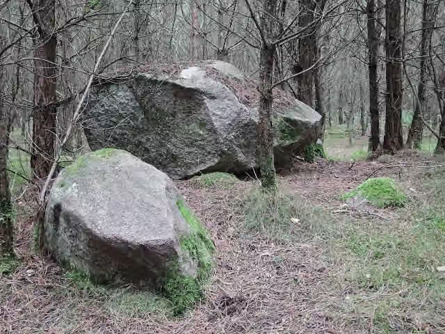 Großsteingrab Satow 1Archaeological site · 6.6 km from the route
- 21
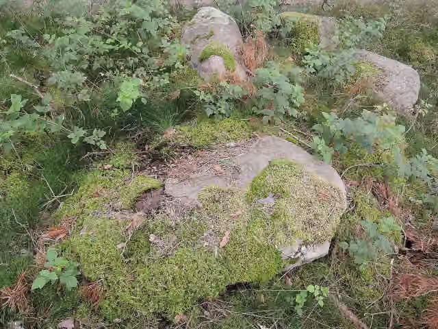 Großsteingrab Satow 2Archaeological site · 6.7 km from the route
- 22
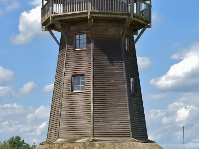 Klaus-Bahlsen-TurmObservation tower · 7.9 km from the route
- 23
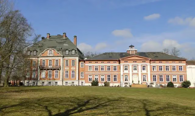 Schloss KarowCastle · 8.3 km from the route
- 24
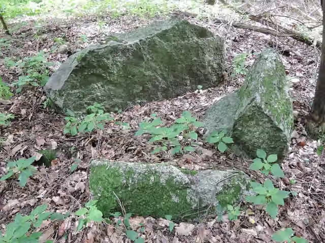 Großsteingrab Stuer 7Archaeological site · 8.4 km from the route
- 25
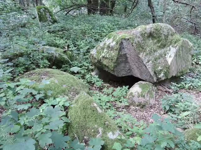 Großsteingrab Stuer 2Archaeological site · 8.7 km from the route
Explore more
More cycle routes around Lenzen (Elbe)
Frequently asked questions
How long is Eldetal-Rundweg?
Eldetal-Rundweg is 159.3 km long. Allow ± 10:35 h of riding: 15 km an hour, without breaks.
Is this route a circular ride?
No, the route starts and ends at different spots.
Where does this route start?
The route starts in Lenzen (Elbe).
How hard is this route?
Hard, with 400 m of climbing.
Are there toilets along this route?
No, there is no public toilet within 100 m of the route. Go before you start.
Can you fill up with water along this route?
No, there is no water point within 100 m of the route. Bring enough water.
What is there to see along this route?
Along the way you pass Rudower Seeblick, Observation tower and Grenzturm.
Can I download this route as a GPX file?
Yes. Sign in with your Outdoor Pitstop account and choose Download GPX at the top of this page: 10 routes a month for free, unlimited with Pro.
Starting point
More routes from this place
Route data © OpenStreetMap contributors





