 Outdoor Pitstop
Cycle route · Eisenach · Updated on 14 November 2026
Thüringer Städtekette cycle route
Thüringer Städtekette is a cycle route of 229.3 km from Eisenach. Along the way you'll find 972 benches, 11 water fountains and refill points, 38 public toilets and 7 bike pumps.
i
i
i
The route step by step
From start to finish, with what you pass along the way and the distance in between.
- 229.3 km
- ± 5:05 h per stage
- ↑ 978 m · ↓ 1,022 m
- Hard per stage
- From A to B
- Regional route
Start in Eisenach
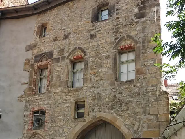
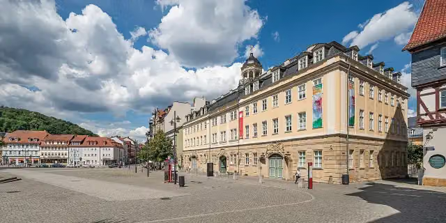
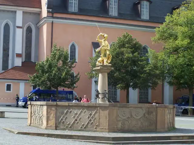
0 kmAt the start: Stadtschloss Eisenach, St. Georg-Brunnen, public toilet and water point.
357 m · 46 benches
Public toilet
357 m194 m

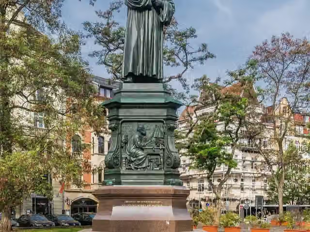
Lutherdenkmal and 2 more
551 mÄrztedenkmal and Nikolaitor
457 m · 16 benches
Public toilet
1 km3.9 km · 8 benches
Hellwigdenkmal
4.9 kmMemorial
11.6 km · 17 benches
Bike pump
16.5 km6.6 km · 3 benches
Water point
23.1 km14.7 km · 3 benches
2 public toilets
37.8 km253 m · bench
Public toilet
38 km7.7 km · bench
Gefallenendenkmal
45.7 kmMemorial
281 m
Bach-Stammhaus
46 kmMuseum
3.9 km · 3 benches
Public toilet
49.9 km7.2 km · 14 benches
Christian Hunold (Menantes)
57.1 kmMemorial
13.3 km · 80 benches
Public toilet
70.4 km5.3 km · 101 benches
St Thomas' Church
75.7 kmAttraction
296 m · 12 benches
Richard-Breslau-Denkmal
76 kmMemorial
670 m · 29 benches
2 public toilets and bike pump
76.7 km481 m · 11 benches
Angermuseum Erfurt
77.1 km2 water fountains and refill points
200 m · 8 benches
Angermuseum - Barfüßerkirche and 1 more
77.3 kmBarfüßerkirche and 2 public toilets
195 m · 5 benches
New Mill and 1 more
77.5 kmRömer, public toilet and water point
184 m · 3 benches
Kleine Synagoge and 5 more
77.7 kmRathaus Erfurt, Zum Breiten Herd, Alte Synagoge Erfurt, Krämerbrücke, Mikwe and 3 public toilets
152 m · 5 benches
Krämerbrücke and 1 more
77.9 kmKrämerbrücke and 2 public toilets
307 m · 15 benches
Lutherdenkmal
78.2 kmPublic toilet
24.5 km · 30 benches
Water point
102.7 km251 m · 17 benches
Muschelbrunnen
103 kmAttraction
309 m · 10 benches
Kunsthalle Harry Graf Kessler and 3 more
103.3 kmKasseturm, Brunnen am Graben, Pavillon-Presse and public toilet
177 m · 11 benches
Delphinbrunnen and 3 more
103.5 kmJohannes Falk, Löwenbrunnen, Museum zur bürgerlichen Wohnkultur im 18. und 19. Jahrhundert and public toilet
340 m · 4 benches
Albert-Schweitzer-Museum and 2 more
103.8 kmAlbert-Schweitzer-Denkmal and Adam-Mickiewicz-Denkmal
755 m · 14 benches
Stone of Good Fortune and 1 more
104.5 kmGoethes Gartenhaus and public toilet
1.4 km · 14 benches
Deutsches Bienenmuseum
105.9 kmMuseum
Show the other 25 steps
4.7 km · 10 benches
Bike pump
110.6 km13.8 km · 8 benches
Bike pump
124.4 km2 km · 28 benches
Ergo Bibamus and 1 more
126.4 kmJohannistor, 3 public toilets, 2 water fountains and refill points and bike pump
158 m · 26 benches
Anatomieturm
126.5 kmPublic toilet and bike pump
176 m · 22 benches
Friedrich Maurer and 1 more
126.7 kmLöbdertor and water point
193 m · 13 benches
Karmelitenkloster
126.9 kmWater point
157 m · 4 benches
Volksbad
127.1 kmPublic toilet
177 m · 13 benches
Roter Turm and 1 more
127.3 kmRomantikerhaus and public toilet
3 km · 27 benches
Zum Gedenken an die Gefallenen des 2. Weltkrieges
130.3 kmMemorial
32 km · 134 benches
Milo-Barus Ausstellung
162.3 kmMuseum
2.2 km · 5 benches
Public toilet
164.4 km21.8 km · 49 benches
Otto-Dix-Haus
186.2 kmWater point
718 m · 8 benches
Villa Jahr
186.9 kmPublic toilet
956 m · 9 benches
Bike pump
187.9 km2.4 km · bench
Public toilet
190.2 km7 km · 32 benches
Ronneburger Schloss
197.2 kmAttraction
15.4 km · 18 benches
Public toilet
212.6 km222 m · 3 benches
Public toilet
212.8 km12.4 km · 14 benches
Bismarckturm Altenburg
225.3 kmObservation tower
1.2 km · 9 benches
2 public toilets
226.5 km833 m · 19 benches
Rote Spitzen
227.3 kmPublic toilet
595 m · bench
Public toilet
227.9 km245 m · 10 benches
Residenzschloss Altenburg
228.2 kmAttraction
629 m · 16 benches
Lindenau-Museum
228.8 kmMuseum
492 m · 2 benches
Finish
229.3 kmAt the finish: public toilet.
Longest stretch without a toilet: 37.2 kmBetween 127.3 km and 164.4 km there is no public toilet within 100 m of the route.
The route with the water points, toilets and sights within 100 m of it.
58 sights along the way
In the order you pass them. With the Outdoor Pitstop app you hear their story on the spot. 50 more along the route are on the map.
i
Photo: A.Savin · Wikimedia Commons · FALView the photo on Wikimedia CommonsCastle · after 9 m
i
Photo: Metilsteiner · Wikimedia Commons · CC BY-SA 3.0View the photo on Wikimedia CommonsMemorial · after 57 m
i
Photo: Krzysztof Golik · Wikimedia Commons · CC BY-SA 4.0View the photo on Wikimedia CommonsMemorial · after 551 m
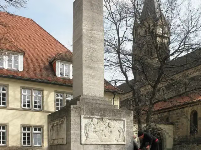
i
Photo: Wikswat at German Wikipedia · Wikimedia Commons · CC BY-SA 3.0View the photo on Wikimedia CommonsMemorial · after 599 m
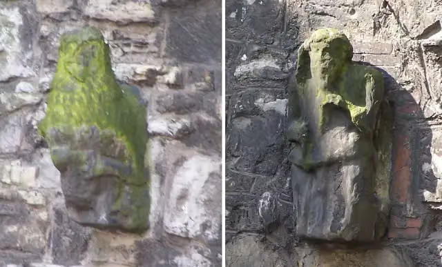
i
Photo: Metilsteiner · Wikimedia Commons · CC BY-SA 3.0View the photo on Wikimedia CommonsAttraction · after 625 m
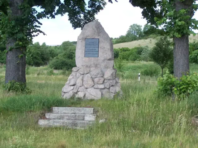
i
Photo: Metilsteiner · Wikimedia Commons · CC BY-SA 3.0View the photo on Wikimedia CommonsMemorial · after 4.9 km
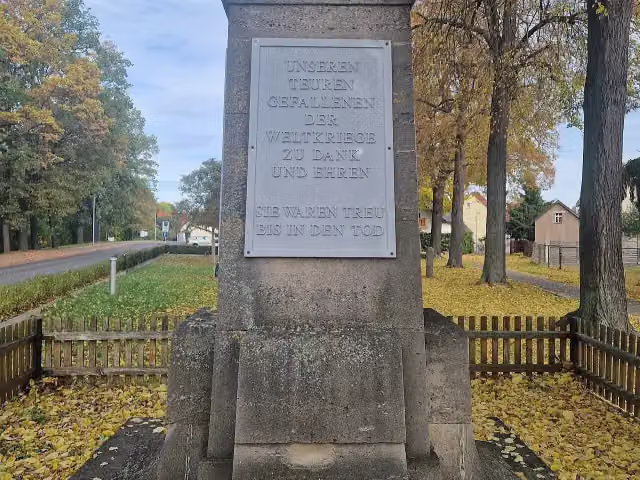
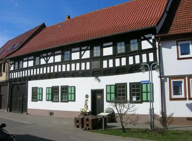
Memorial · after 45.7 km
i
Photo: Mazbln · Wikimedia Commons · CC BY-SA 3.0View the photo on Wikimedia CommonsMuseum · after 46 km
Stages (3)
Elevation and terrain
- Up
- ↑ 978 m
- Down
- ↓ 1,022 m
- Highest point
- 372 m
- Lowest point
- 146 m
- 5-10% slope · 471 m
Elevation from Copernicus GLO-30 (European Union and ESA), smoothed.
produced using Copernicus WorldDEM-30 © DLR e.V. 2010-2014 and © Airbus Defence and Space GmbH 2014-2018 provided under COPERNICUS by the European Union and ESA; all rights reserved
Way types
229.3 km in total- Street: 56.3 km
- Track: 54.6 km
- Path: 50.3 km
- Road: 43.8 km
- Cycle path: 15.1 km
- Busy road: 6.2 km
- Footpath (walk your bike): 2.4 km
- Unknown: 25 m
Surfaces
229.3 km in total- Asphalt: 183 km
- Gravel: 20.6 km
- Paved: 13.7 km
- Unpaved: 125 m
- Unknown: 11.3 km
About the cycle route Thüringer Städtekette
Updated on 14 November 2026, with data from OpenStreetMap, the AHN and Copernicus.
Where do you cycle?
Thüringer Städtekette is a cycle route of 229.3 km that starts in Eisenach. It does not end where it starts. Along the way you pass Stadtschloss Eisenach (after 9 m), St. Georg-Brunnen (after 57 m) and Lutherdenkmal (after 551 m).
How hard is the route?
You climb 978 m in total and descend 1,022 m. Allow ± 5:05 h per stage, without breaks. Per stage the level is hard.
What roads do you cycle on?
The longest part is street (56.3 km), track (54.6 km) and path (50.3 km). Of the surface, 183 km asphalt and 20.6 km gravel. For 11.3 km the surface is not known.
Pitstops along the way
Within 100 metres of the route there are 972 benches, 11 water fountains and refill points, 38 public toilets and 7 bike pumps. The longest stretch without a toilet is 37.2 km. The Outdoor Pitstop app navigates you there.
Cycle routes nearby
6- Herkules-Wartburg-RadwegHard · From A to B110.8 km
- [D4] Mittelland-Route (Thüringen-West)Hard · From A to B148.8 km
- WaldrandrouteHard · From A to B135.7 km
- Nessetal-RadwegHard · From A to B69.2 km
- Rennsteig-RadwanderwegHard · From A to B199.2 km
- Nationalpark Hainich "Gelbe Route"Moderate · From A to B37 km
Sights nearby
Within 10 km of the route, best known first.
- 1
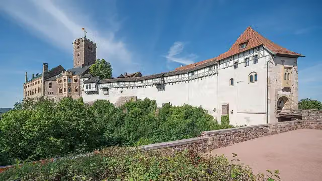 WartburgAttraction · 1.4 km from the route
- 2
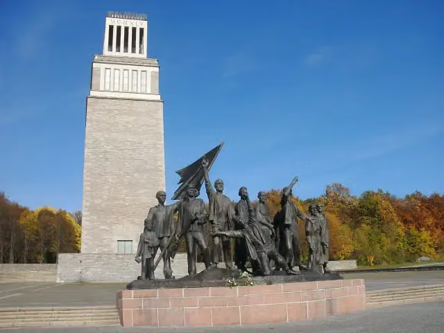 Buchenwald MemorialMonument · 4 km from the route
- 3
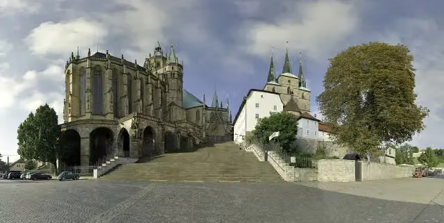 Erfurt CathedralAttraction · 471 m from the route
- 4
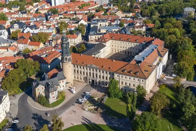 StadtschlossCastle · 145 m from the route
- 5
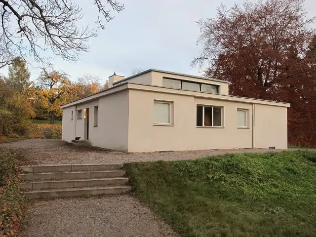 Haus am HornAttraction · 119 m from the route
- 6
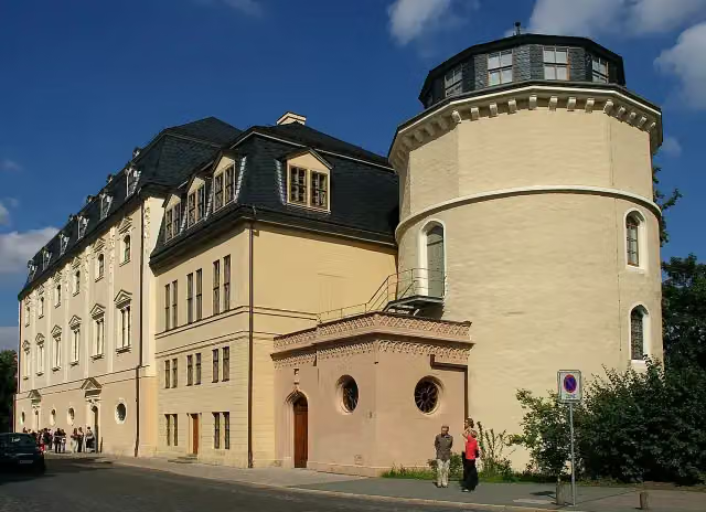 Duchess Anna Amalia LibraryAttraction · 223 m from the route
- 7
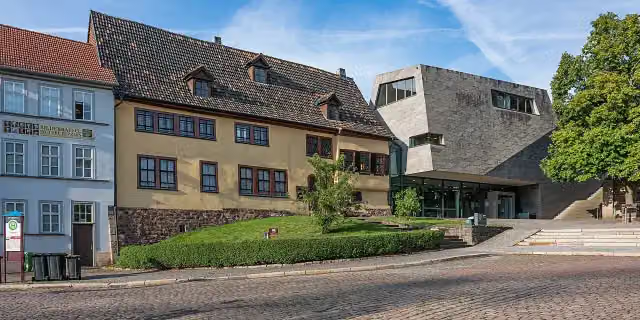 Bachhaus EisenachMuseum · 315 m from the route
- 8
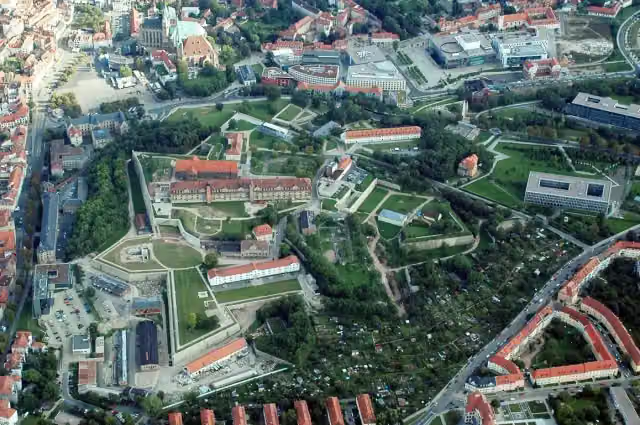 Petersberg CitadelCastle · 806 m from the route
- 9
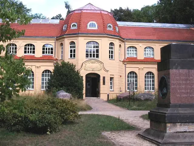 MauritianumMuseum · 139 m from the route
- 10
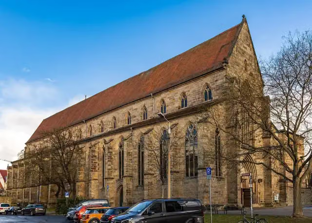 PredigerkircheAttraction · 84 m from the route
- 11
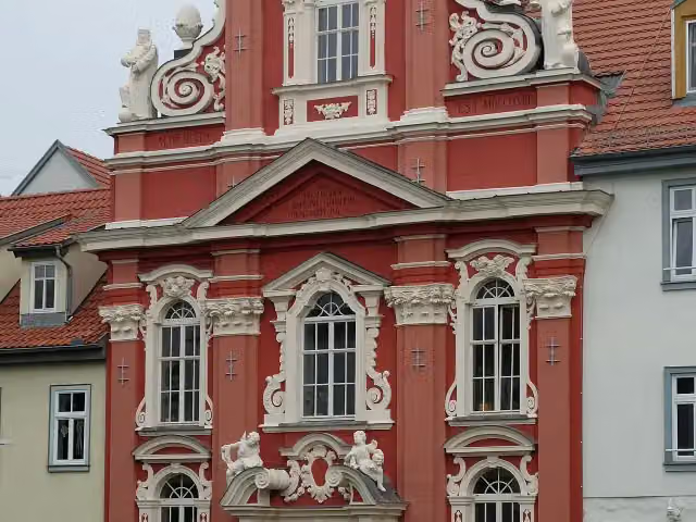 KartauseAttraction · 154 m from the route
- 12
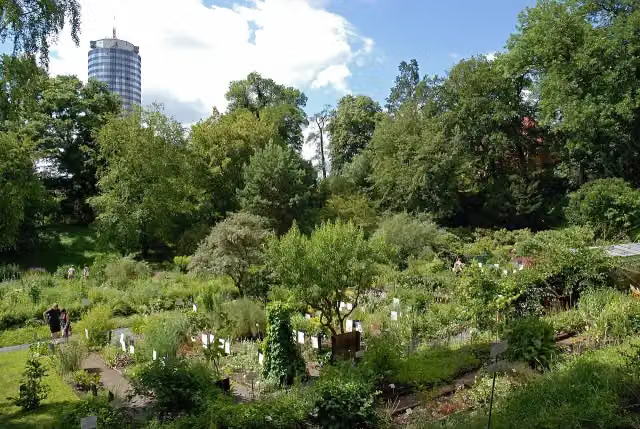 Botanical GardenAttraction · 260 m from the route
- 13
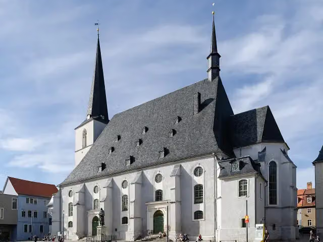 Stadtkirche St. Peter und PaulAttraction · 139 m from the route
- 14
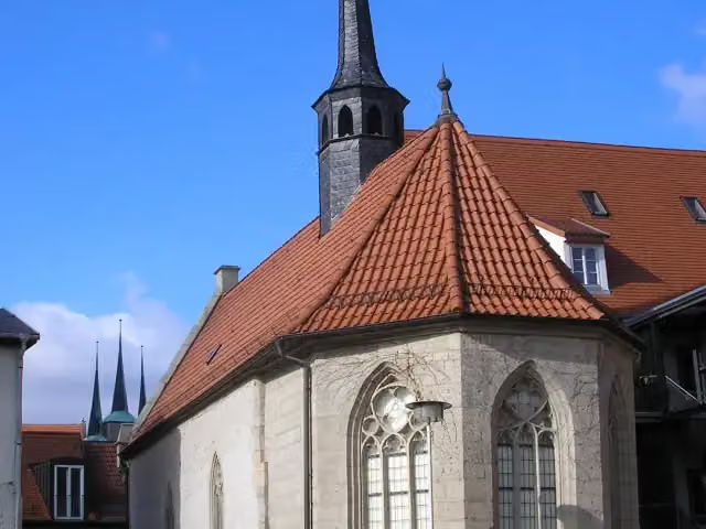 Maria-Magdalenen-KapelleAttraction · 148 m from the route
- 15
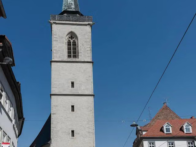 AllerheiligenkircheAttraction · 198 m from the route
- 16
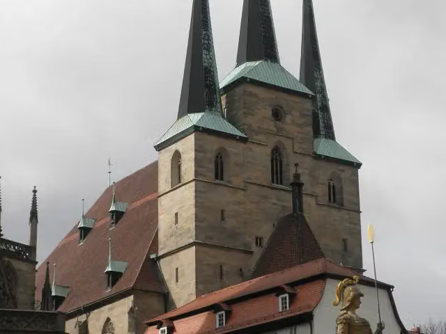 Sankt SeveriAttraction · 504 m from the route
- 17
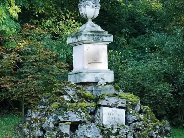 Gedenkstein für Prinz Leopold von Braunschweig-Wolfenbüttel (Weimar)Memorial · 2.6 km from the route
- 18
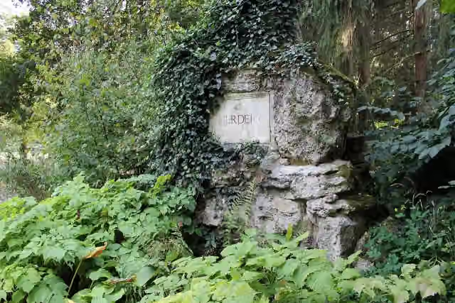 HerderdenkmalMemorial · 2.7 km from the route
- 19
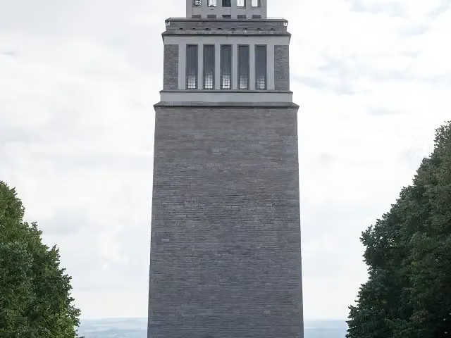 BuchenwaldturmMonument · 2.9 km from the route
- 20
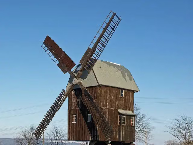 Windmill BechstedtstraßAttraction · 3.5 km from the route
- 21
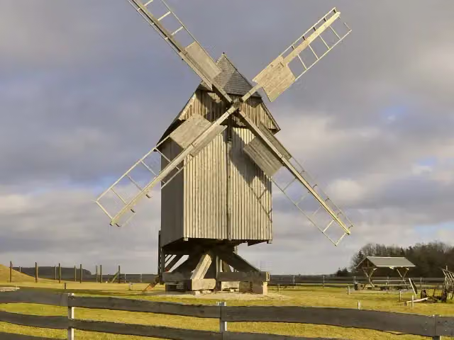 Windmill KlettbachAttraction · 8.6 km from the route
- 22
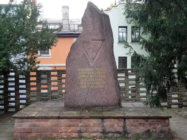 Gedenkstein zur Erinnerung an den Evakuierungsmarsch der Häftlinge des KZ BuchenwaldMemorial · 102 m from the route
- 23
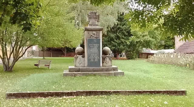 MemorialMemorial · 105 m from the route
- 24
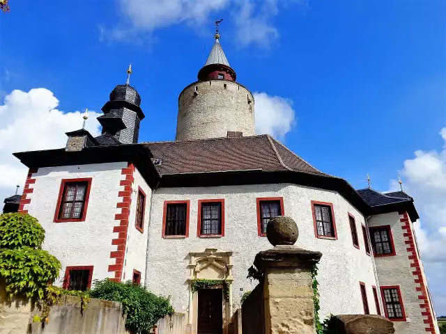 Burg PostersteinCastle · 107 m from the route
- 25
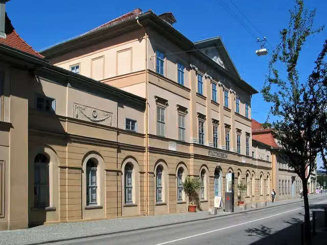 Stadtmuseum WeimarMuseum · 107 m from the route
Explore more
Frequently asked questions
How long is Thüringer Städtekette?
Thüringer Städtekette is 229.3 km long, in 3 stages of 76.4 km on average. Allow ± 5:05 h per stage of riding: 15 km an hour, without breaks.
How many stages does this route have?
The route is split into 3 stages of 76.4 km on average, 229.3 km in all. The shortest stage is 62.8 km, the longest 93.7 km.
Is this route a circular ride?
No, the route starts and ends at different spots.
Where does this route start?
The route starts in Eisenach.
How hard is this route?
Hard per stage, with 326 m per stage of climbing.
Are there toilets along this route?
Yes, there are 38 public toilets within 100 m of the route. The longest stretch without a toilet is 37.2 km.
Can you fill up with water along this route?
Yes, there are 11 water fountains and refill points within 100 m of the route.
What is there to see along this route?
Along the way you pass Stadtschloss Eisenach, St. Georg-Brunnen and Lutherdenkmal.
Which stage of this route has the most points of interest?
Stage 2 (62.8 km), with 41 points of interest along the route, such as St Thomas' Church, Richard-Breslau-Denkmal and Angermuseum Erfurt.
Can I download this route as a GPX file?
Yes. Sign in with your Outdoor Pitstop account and choose Download GPX at the top of this page: 10 routes a month for free, unlimited with Pro.
Starting point
More routes from this place
Route data © OpenStreetMap contributors





