 Outdoor Pitstop
Cycle route · Meschede · Updated on 14 November 2026
Ruhrtalradweg cycle route
Ruhrtalradweg is a cycle route of 232.5 km from Meschede. Along the way you'll find 1,291 benches, 9 water fountains and refill points, 35 public toilets and 9 bike pumps.
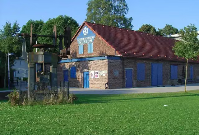
i
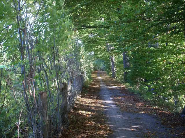
i
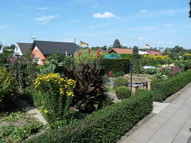
i
The route step by step
From start to finish, with what you pass along the way and the distance in between.
- 232.5 km
- ± 15:30 h
- ↑ 1,013 m · ↓ 1,215 m
- Hard
- From A to B
- Regional route
This route is in pieces in OpenStreetMap, so there are no kilometres per pitstop. Along the way you'll find 1,291 benches, 9 water fountains and refill points, 35 public toilets and 9 bike pumps.
Follow these steps in the appThe route with the pitstops and sights within 100 m of it.
26 sights along the way
In the order you pass them. With the Outdoor Pitstop app you hear their story on the spot. 18 more along the route are on the map.
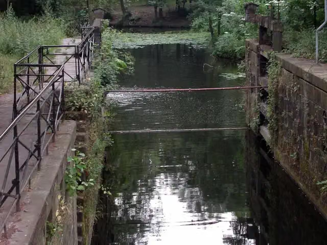
Attraction
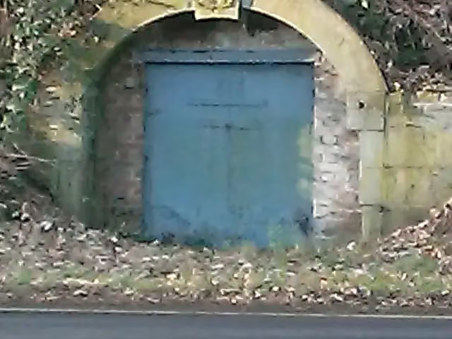
i
Photo: Th. Schmitz (Wetter) · Wikimedia Commons · CC BY-SA 3.0View the photo on Wikimedia CommonsAttraction
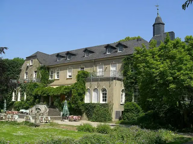
Attraction

Attraction
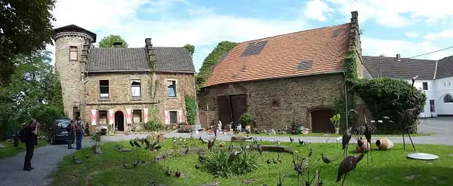
i
Photo: Morty · Wikimedia Commons · CC BY-SA 3.0View the photo on Wikimedia CommonsCastle
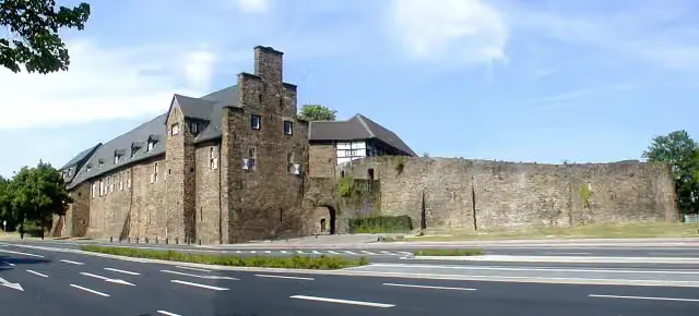
Attraction
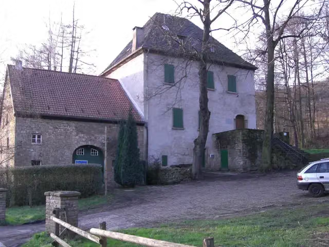
i
Photo: Torben Henke · Wikimedia Commons · CC BY-SA 2.5View the photo on Wikimedia CommonsCastle
i
Photo: smial (talk) · Wikimedia Commons · FALView the photo on Wikimedia CommonsMuseum
Elevation and terrain
- Up
- ↑ 1,013 m
- Down
- ↓ 1,215 m
- Highest point
- 683 m
- Lowest point
- 29 m
- 5-10% slope · 1.2 km
- 10-15% slope · 2.3 km
- 20% slope or steeper · 1.2 km
Elevation from Copernicus GLO-30 (European Union and ESA), smoothed.
produced using Copernicus WorldDEM-30 © DLR e.V. 2010-2014 and © Airbus Defence and Space GmbH 2014-2018 provided under COPERNICUS by the European Union and ESA; all rights reserved
Way types
232.5 km in total- Path: 101.3 km
- Street: 40.1 km
- Cycle path: 32 km
- Track: 32 km
- Road: 15.7 km
- Busy road: 7.2 km
- Footpath (walk your bike): 2.3 km
- Unknown: 1.2 km
Surfaces
232.5 km in total- Asphalt: 183.5 km
- Gravel: 22.4 km
- Paved: 12.9 km
- Unpaved: 200 m
- Unknown: 12.8 km
About the cycle route Ruhrtalradweg
Updated on 14 November 2026, with data from OpenStreetMap, the AHN and Copernicus.
Where do you cycle?
Ruhrtalradweg is a cycle route of 232.5 km that starts in Meschede. It does not end where it starts. You start in Winterberg and finish in Duisburg.
How hard is the route?
You climb 1,013 m in total and descend 1,215 m. Allow ± 15:30 h, without breaks. The level is hard.
What roads do you cycle on?
The longest part is path (101.3 km), street (40.1 km) and cycle path (32 km). Of the surface, 183.5 km asphalt and 22.4 km gravel. For 12.8 km the surface is not known.
Pitstops along the way
Within 100 metres of the route there are 1,291 benches, 9 water fountains and refill points, 35 public toilets and 9 bike pumps. The Outdoor Pitstop app navigates you there.
The Ruhrtalradweg (Ruhr Valley Cycle Route) is a 233 km long-distance cycle route along the Ruhr, from Winterberg in the Sauerland to its mouth on the Rhine at Duisburg. You ride through Olsberg, Meschede, Arnsberg and Wickede, then through the Ruhr area via Herdecke, Hattingen, Essen and Mülheim. Sights on the way include the LWL Industrial Museum at the Nachtigall colliery, Schloss Broich and the Küppersmühle museum in Duisburg's inner harbour. About 80% is asphalt and almost half runs on paths away from traffic. We know of 35 toilets, 9 drinking water points and 9 bike pumps along the route.
Source: Wikipedia (CC BY-SA)
Cycle routes nearby
3Sights nearby
Within 10 km of the route, best known first.
- 1
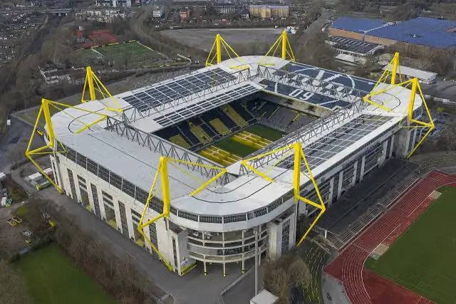 SIGNAL IDUNA PARKAttraction · 8.5 km from the route
- 2
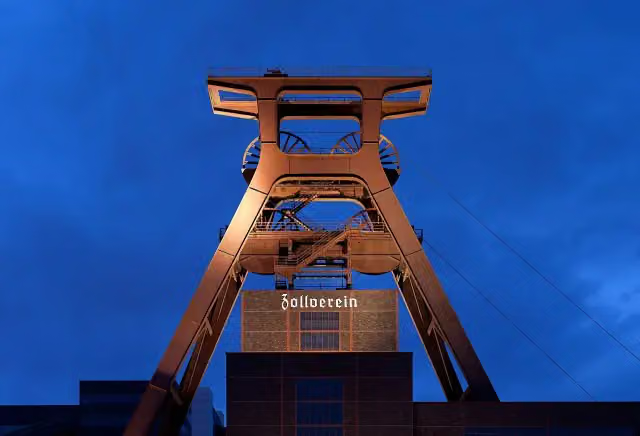 Zollverein Coal Mine Industrial ComplexAttraction · 5.5 km from the route
- 3
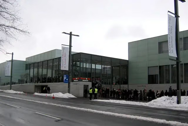 Museum FolkwangMuseum · 3.7 km from the route
- 4
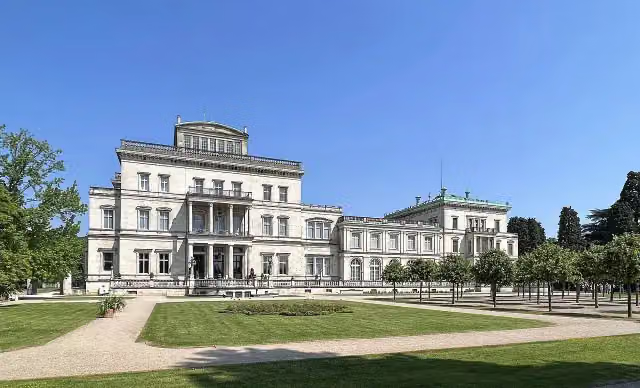 Villa HügelMuseum · 795 m from the route
- 5
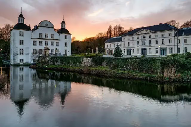 Schloss BorbeckMuseum · 6.3 km from the route
- 6
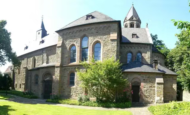 Saarn AbbeyAttraction · 481 m from the route
- 7
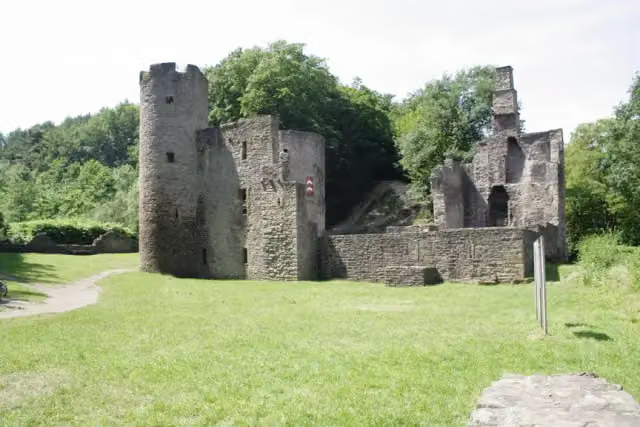 Hardenstein CastleRuins · 195 m from the route
- 8
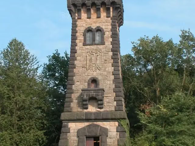 Bismarckturm Mülheim an der RuhrViewpoint · 227 m from the route
- 9
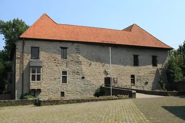 House HerbedeCastle · 417 m from the route
- 10
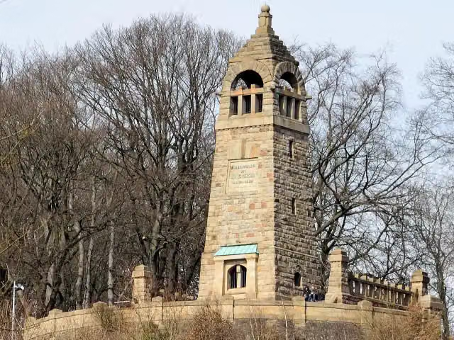 Berger-DenkmalMemorial · 523 m from the route
- 11
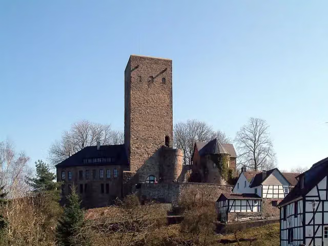 Burg BlankensteinCastle · 584 m from the route
- 12
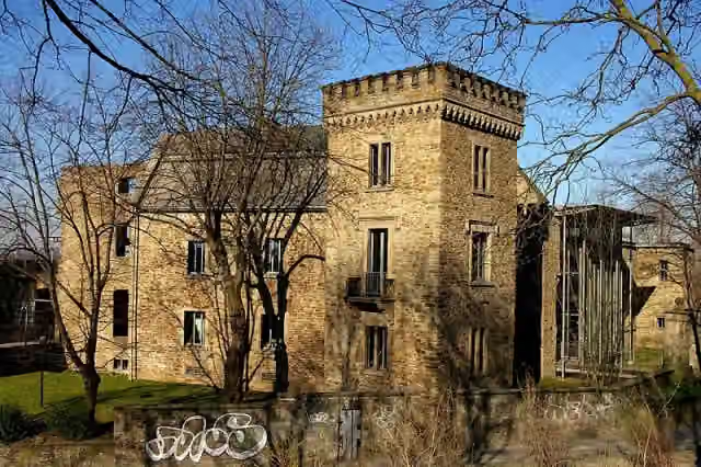 House WittenCastle · 625 m from the route
- 13
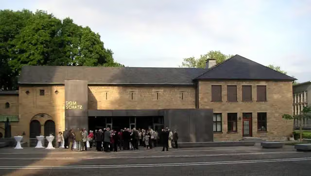 DomschatzkammerMuseum · 3.8 km from the route
- 14
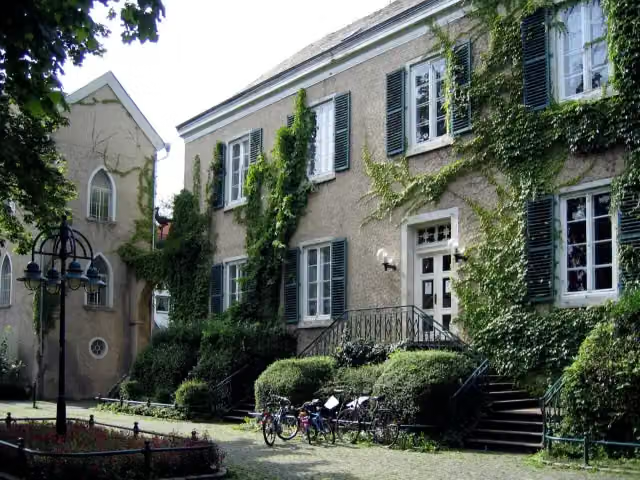 Haus LetmatheMuseum · 7.4 km from the route
- 15
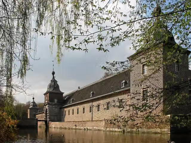 Schloss HeltorfCastle · 9.5 km from the route
- 16
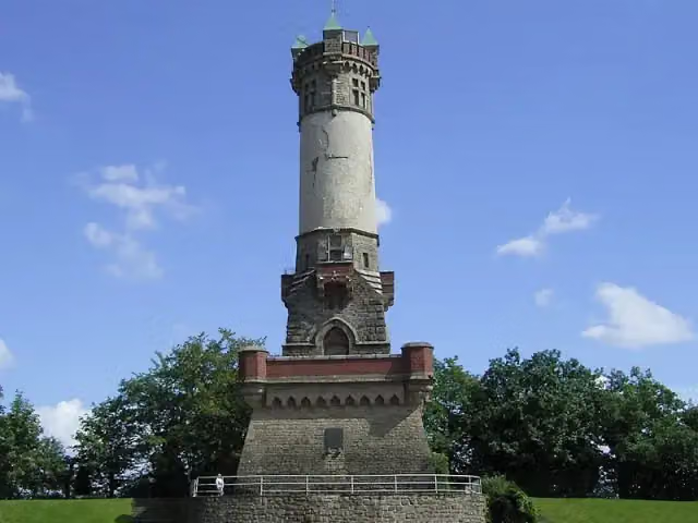 HarkortturmObservation tower · 137 m from the route
- 17
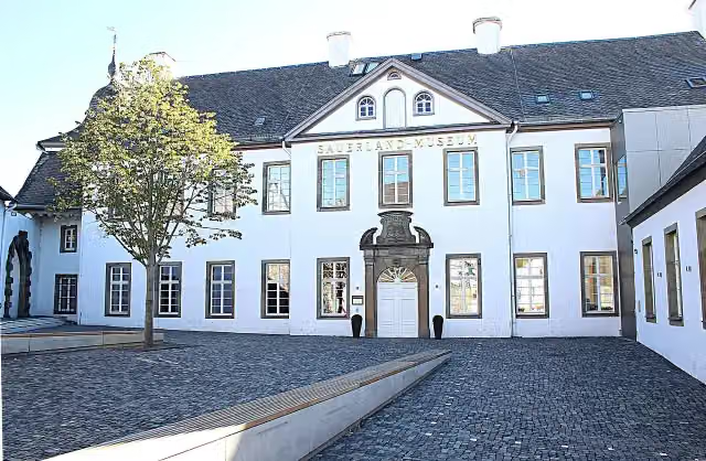 Sauerland-MuseumMuseum · 152 m from the route
- 18
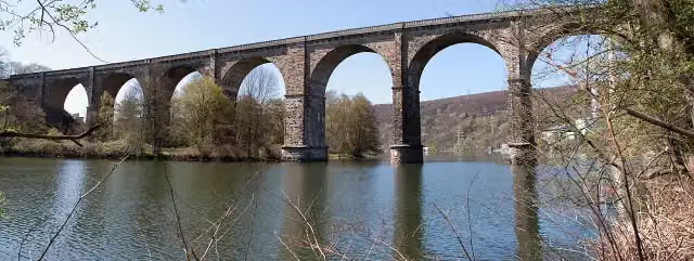 Ruhr-ViaduktAttraction · 156 m from the route
- 19
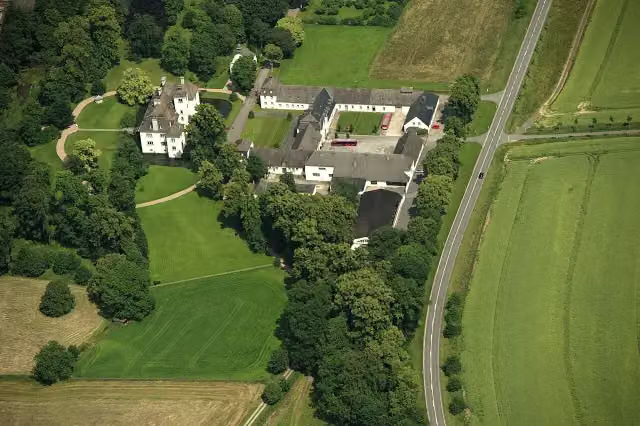 Wasserschloss LaerCastle · 158 m from the route
- 20
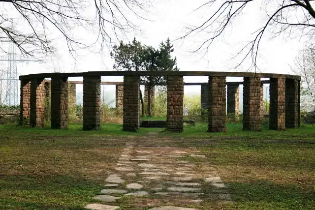 RuhrkämpfermahnmalMemorial · 162 m from the route
- 21
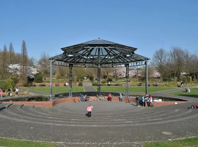 RinglokschuppenAttraction · 163 m from the route
- 22
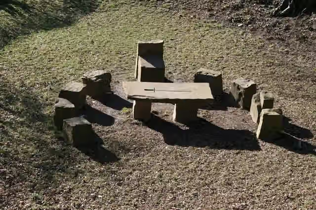 Oberfreistuhl, FemegerichtsbarkeitMemorial · 183 m from the route
- 23
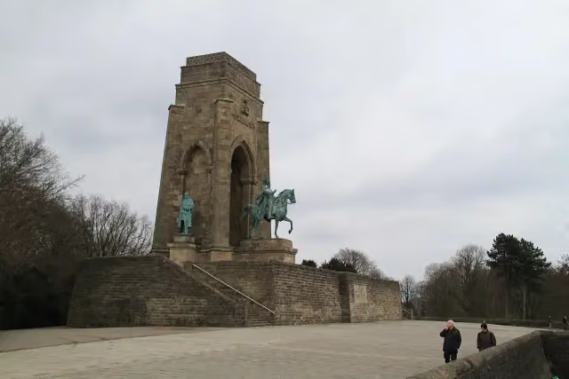 Kaiser-Wilhelm-DenkmalAttraction · 193 m from the route
- 24
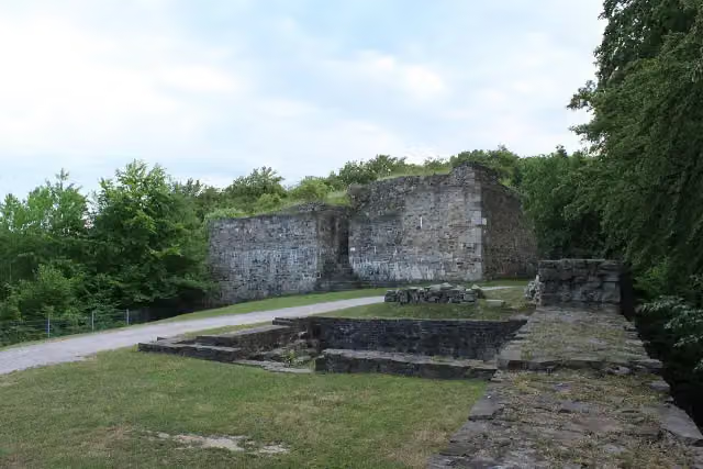 Burg IsenbergCastle · 201 m from the route
- 25
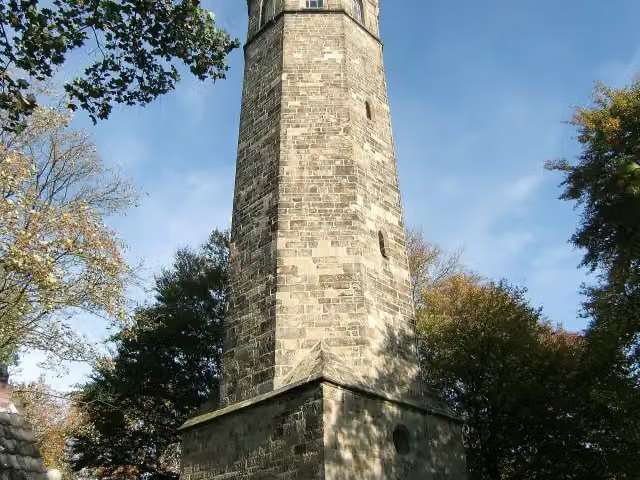 VincketurmObservation tower · 203 m from the route
Explore more
More cycle routes around Meschede
Frequently asked questions
How long is Ruhrtalradweg?
Ruhrtalradweg is 232.5 km long. Allow ± 15:30 h of riding: 15 km an hour, without breaks.
Is this route a circular ride?
No, the route runs from Winterberg to Duisburg.
Where does this route start?
The route starts in Meschede.
How hard is this route?
Hard, with 1,013 m of climbing.
Are there toilets along this route?
Yes, there are 35 public toilets within 100 m of the route.
Can you fill up with water along this route?
Yes, there are 9 water fountains and refill points within 100 m of the route.
What is there to see along this route?
Along the way you pass Schleuse Neukirchen, Zeche Vereinigte Eulalia and Schloss Styrum.
Can I download this route as a GPX file?
Yes. Sign in with your Outdoor Pitstop account and choose Download GPX at the top of this page: 10 routes a month for free, unlimited with Pro.
Starting point
More routes from this place
Route data © OpenStreetMap contributors





