 Outdoor Pitstop
Cycle route · Gemünden am Main · Updated on 14 November 2026
Radwanderweg Fränkische Saale cycle route
Radwanderweg Fränkische Saale is a cycle route of 127.4 km from Gemünden am Main. Along the way you'll find 253 benches, 10 water fountains and refill points, 12 public toilets and 5 bike pumps.
i
i
i
The route step by step
From start to finish, with what you pass along the way and the distance in between.
- 127.4 km
- ± 8:30 h
- ↑ 500 m · ↓ 342 m
- Hard
- From A to B
- Regional route
Start in Gemünden am Main
0 kmAt the start: public toilet, water point and bike pump.
409 m · 7 benches
Public toilet
409 m27.3 km · 18 benches

Museum Herrenmühle and 1 more
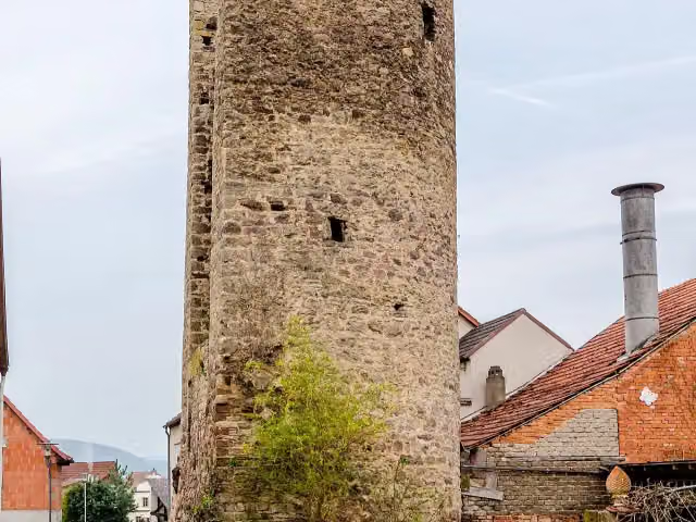
27.7 kmBaderturm and public toilet
437 m
Rotes Schloss
28.1 kmPublic toilet
260 m · 2 benches
Public toilet
28.4 km8 km · 4 benches
Ehemaliges Schloss Elfershausen
36.4 kmPublic toilet
6.5 km · 5 benches
Bike pump
42.8 km2.7 km · 4 benches
Bike pump
45.5 km8.5 km · 5 benches
Bike pump
54 km1.1 km · 15 benches
Public toilet
55.1 km6.7 km · 44 benches
Klosterruine Brachau
61.8 kmArchaeological site
649 m
Water point
62.4 km3 km · 2 benches
Graf-Luxburg-Museum and 2 more
65.4 kmSchloss Aschach, Schulmuseum and 2 public toilets
419 m · 6 benches
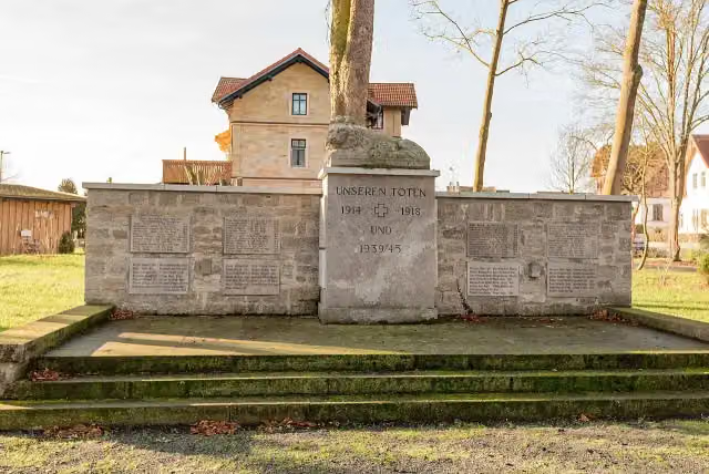
Kriegerdenkmal
65.8 kmMemorial
749 m
Water point
66.5 km1.7 km · bench
Public toilet and water point
68.3 km5.9 km · 5 benches
Riemenschneider-Kruzifix and 1 more
74.1 kmAltes Pfarrhaus
14.3 km · 53 benches
2 water fountains and refill points
88.5 km7.8 km · 33 benches
Water point
96.3 km3 km · bench
Water point
99.3 km12.6 km · 4 benches
Bike pump
111.9 km4.1 km
Johann Wilhelm Rost
116 kmPublic toilet
1.3 km · 23 benches
Public toilet and 2 water fountains and refill points
117.3 km10.1 km · 14 benches
Finish
127.4 km
Longest stretch without a toilet: 47.7 kmBetween 68.3 km and 116 km there is no public toilet within 100 m of the route.
The route with the pitstops and sights within 100 m of it.
12 sights along the way
In the order you pass them. With the Outdoor Pitstop app you hear their story on the spot. 4 more along the route are on the map.

Museum · after 27.7 km
i
Photo: Tilman2007 · Wikimedia Commons · CC BY-SA 3.0View the photo on Wikimedia CommonsViewpoint · after 27.8 km
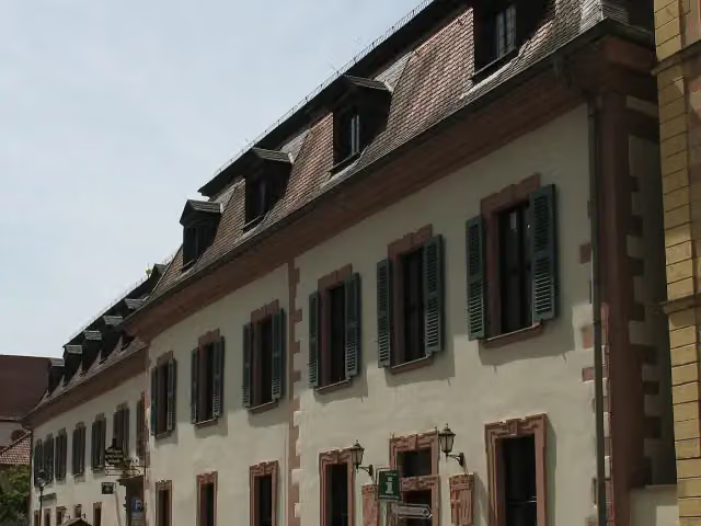
i
Photo: Doris Antony, Berlin · Wikimedia Commons · CC BY-SA 4.0View the photo on Wikimedia CommonsCastle · after 28.2 km
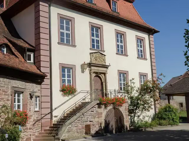
i
Photo: Tilman2007 · Wikimedia Commons · CC BY-SA 3.0View the photo on Wikimedia CommonsCastle · after 36.4 km
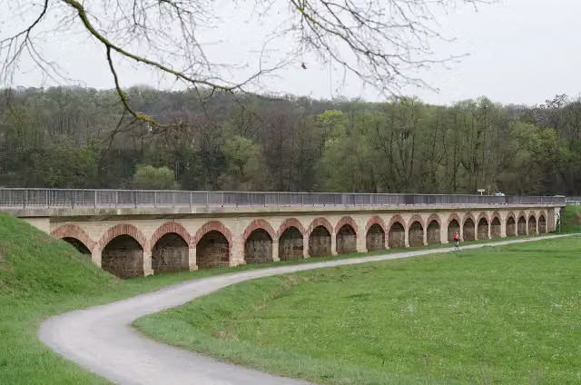
i
Photo: Tilman2007 · Wikimedia Commons · CC BY-SA 3.0View the photo on Wikimedia CommonsArchaeological site · after 61.8 km
Museum · after 65.4 km
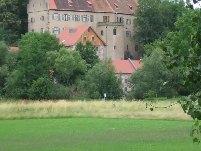
i
Photo: Michael Fries · Wikimedia Commons · CC BY-SA 2.0 deView the photo on Wikimedia CommonsMuseum · after 65.5 km
Museum · after 65.5 km
Elevation and terrain
- Up
- ↑ 500 m
- Down
- ↓ 342 m
- Highest point
- 314 m
- Lowest point
- 155 m
- 5-10% slope · 640 m
Elevation from Copernicus GLO-30 (European Union and ESA), smoothed.
produced using Copernicus WorldDEM-30 © DLR e.V. 2010-2014 and © Airbus Defence and Space GmbH 2014-2018 provided under COPERNICUS by the European Union and ESA; all rights reserved
Way types
127.4 km in total- Track: 51.6 km
- Path: 28.4 km
- Street: 22.5 km
- Road: 17.4 km
- Cycle path: 4 km
- Busy road: 2.5 km
- Footpath (walk your bike): 750 m
Surfaces
127.4 km in total- Asphalt: 99.8 km
- Gravel: 15.9 km
- Paved: 3.2 km
- Unpaved: 400 m
- Unknown: 8 km
About the cycle route Radwanderweg Fränkische Saale
Updated on 14 November 2026, with data from OpenStreetMap, the AHN and Copernicus.
Where do you cycle?
Radwanderweg Fränkische Saale is a cycle route of 127.4 km that starts in Gemünden am Main. It does not end where it starts. You start in Gemünden a.Main and finish in Alsleben. Along the way you pass Museum Herrenmühle (after 27.7 km), Baderturm (after 27.8 km) and Rotes Schloss (after 28.2 km).
How hard is the route?
You climb 500 m in total and descend 342 m. Allow ± 8:30 h, without breaks. The level is hard.
What roads do you cycle on?
The longest part is track (51.6 km), path (28.4 km) and street (22.5 km). Of the surface, 99.8 km asphalt and 15.9 km gravel. For 8 km the surface is not known.
Pitstops along the way
Within 100 metres of the route there are 253 benches, 10 water fountains and refill points, 12 public toilets and 5 bike pumps. The longest stretch without a toilet is 47.7 km. The Outdoor Pitstop app navigates you there.
Cycle routes nearby
6- Main-Tauber-Fränkischer Rad-AchterHard · From A to B332.1 km
- Rhön-Sinntal RadwegHard · From A to B118 km
- [D9] Weser-Romantische Straße Teil 6Hard · From A to B106 km
- Saar-Mosel-Main [Miltenberg - Kitzingen]Hard · From A to B167.2 km
- Main-Radweg, Abschnitte 3 bis 9Hard · From A to B324.6 km
- EV4 Germany, Frankfurt - WurzburgHard · From A to B227.6 km
Sights nearby
Within 10 km of the route, best known first.
- 1
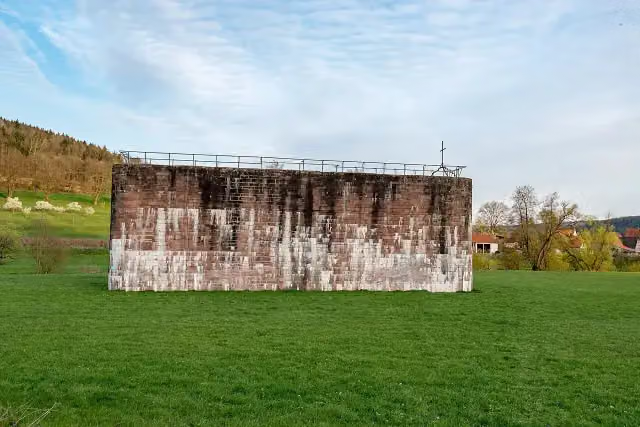 Brückenrelikt Reichsautobahn Strecke 46, Fulda-Würzburg (Kletterpfeiler E46)Ruins · 136 m from the route
- 2
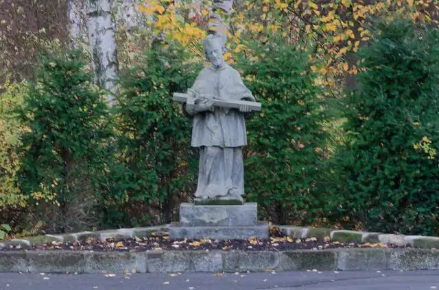 NepomukMemorial · 139 m from the route
- 3
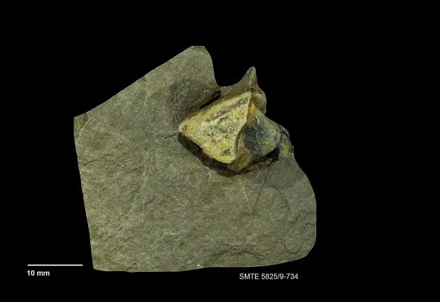 Terra TriassicaMuseum · 155 m from the route
- 4
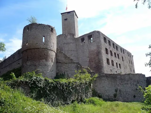 TrimburgCastle · 181 m from the route
- 5
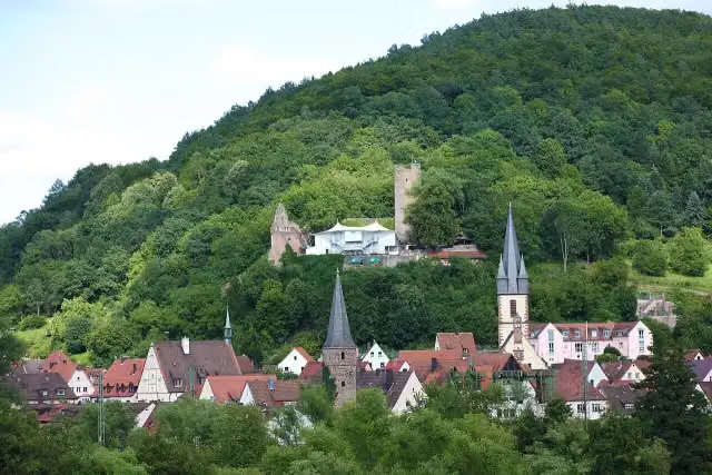 ScherenburgCastle · 205 m from the route
- 6
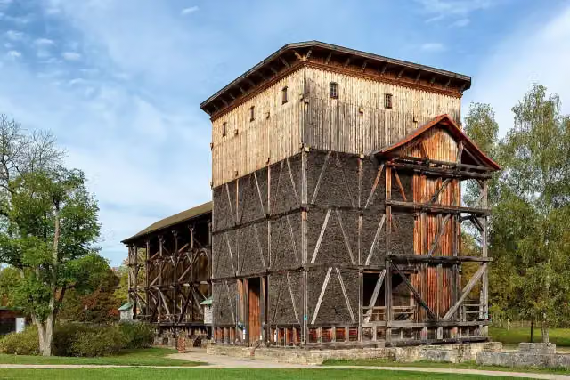 GradierwerkAttraction · 270 m from the route
- 7
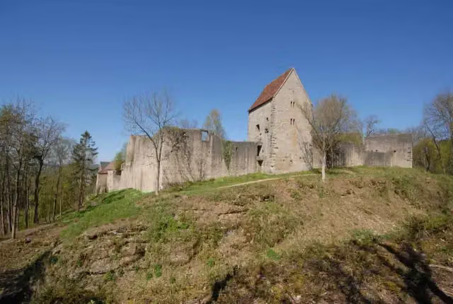 SalzburgAttraction · 271 m from the route
- 8
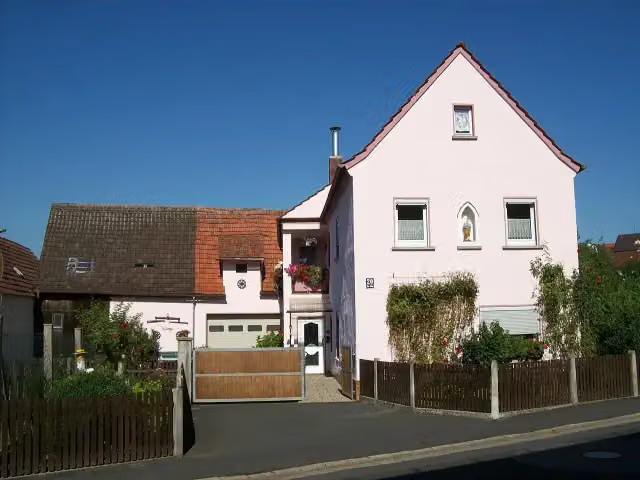 FlurbereinigungssteinMemorial · 277 m from the route
- 9
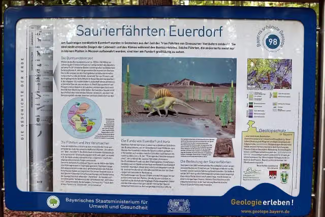 Geotop Saurierfährten EuerdorfAttraction · 287 m from the route
- 10
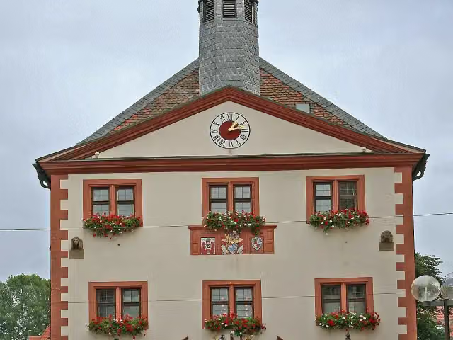 Altes RathausAttraction · 331 m from the route
- 11
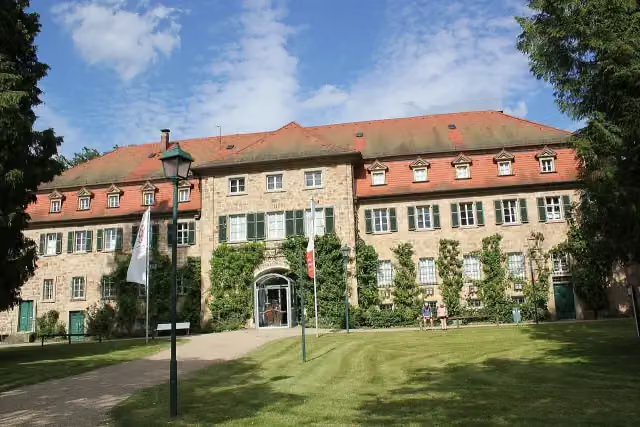 Obere SalineMuseum · 334 m from the route
- 12
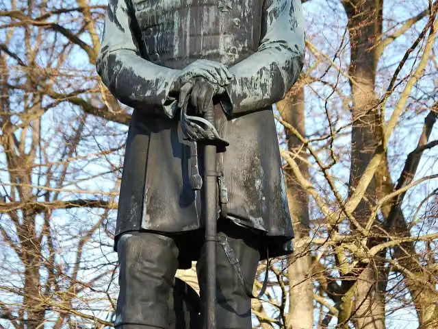 Bismarck-DenkmalMemorial · 360 m from the route
- 13
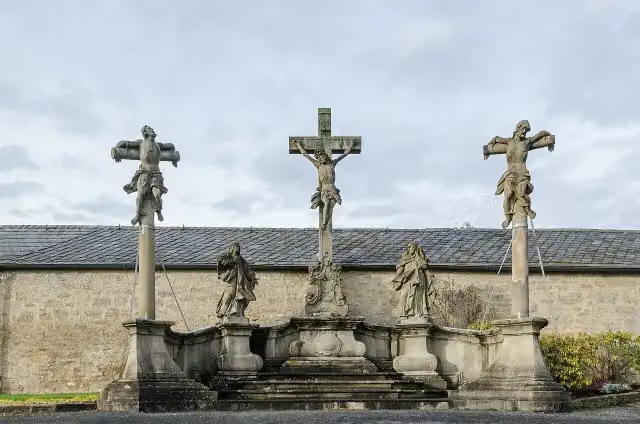 KreuzigungsgruppeAttraction · 552 m from the route
- 14
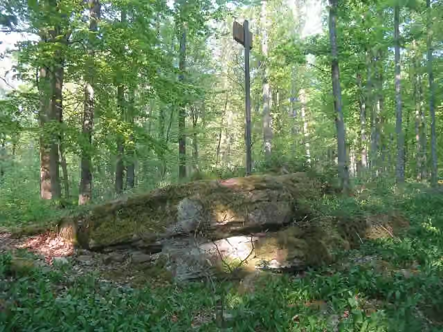 SlorburgCastle · 553 m from the route
- 15
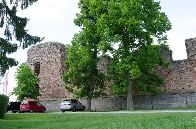 Ruine AuraRuins · 731 m from the route
- 16
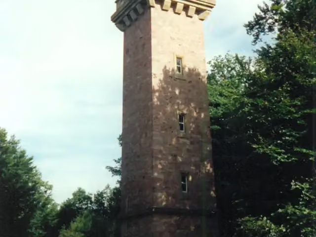 LudwigsturmViewpoint · 801 m from the route
- 17
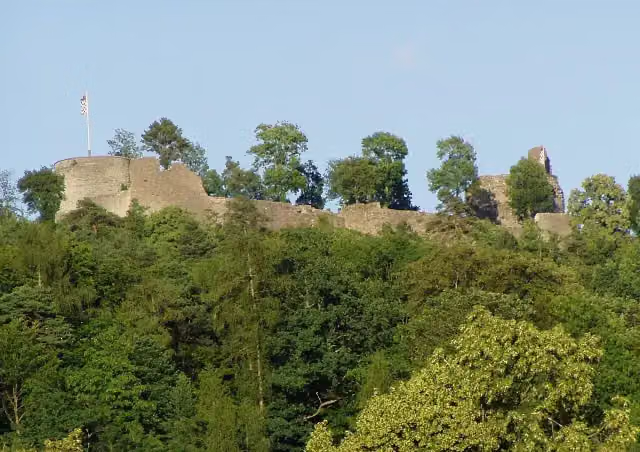 Burgruine BotenlaubenCastle · 847 m from the route
- 18
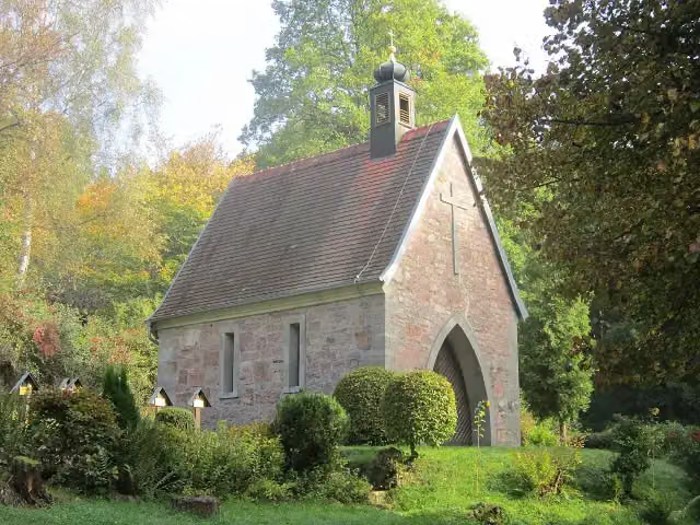 Ehrenfriedhof SteinachMemorial · 907 m from the route
- 19
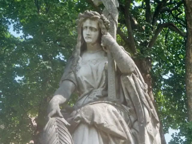 GermaniaMemorial · 947 m from the route
- 20
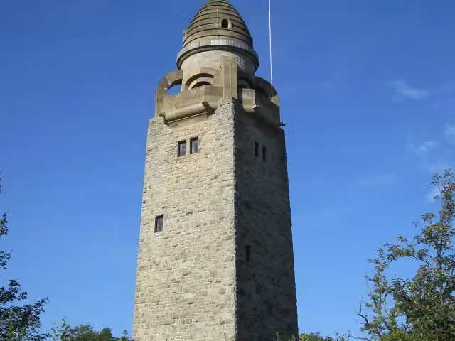 Wittelsbacher TurmObservation tower · 959 m from the route
- 21
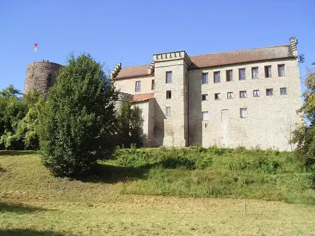 Schloss SaaleckCastle · 1.1 km from the route
- 22
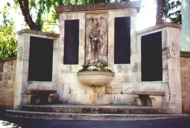 MemorialMemorial · 1.3 km from the route
- 23
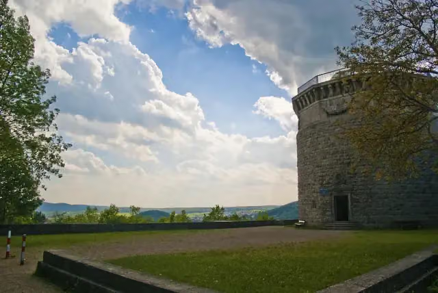 Bismarckturm Bad KissingenViewpoint · 1.6 km from the route
- 24
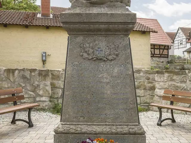 MemorialMemorial · 2.2 km from the route
- 25
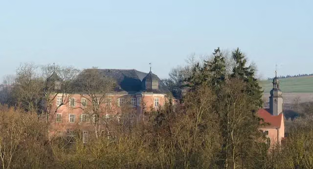 Schloss WaltershausenCastle · 2.4 km from the route
Explore more
More cycle routes around Gemünden am Main
Frequently asked questions
How long is Radwanderweg Fränkische Saale?
Radwanderweg Fränkische Saale is 127.4 km long. Allow ± 8:30 h of riding: 15 km an hour, without breaks.
Is this route a circular ride?
No, the route runs from Gemünden a.Main to Alsleben.
Where does this route start?
The route starts in Gemünden am Main.
How hard is this route?
Hard, with 500 m of climbing.
Are there toilets along this route?
Yes, there are 12 public toilets within 100 m of the route. The longest stretch without a toilet is 47.7 km.
Can you fill up with water along this route?
Yes, there are 10 water fountains and refill points within 100 m of the route.
What is there to see along this route?
Along the way you pass Museum Herrenmühle, Baderturm and Rotes Schloss.
Can I download this route as a GPX file?
Yes. Sign in with your Outdoor Pitstop account and choose Download GPX at the top of this page: 10 routes a month for free, unlimited with Pro.
Starting point
More routes from this place
Route data © OpenStreetMap contributors





