 Outdoor Pitstop
Cycle route · Emmen · Updated on 5 November 2026
Emslandroute cycle route
Emslandroute is a cycle route of 7.6 km from Emmen. Along the way you'll find 5 benches and picnic tables.
The route step by step
From start to finish, with what you pass along the way and the distance in between.
- 7.6 km
- ± 30 min
- Easy
- From A to B
- Regional route
Start in Emmen
0 km5.4 km · 3 benches

Observation tower
5.4 kmObservation tower
2.2 km · 2 benches
Finish
7.6 km
No public toilet along the wayThere is no public toilet within 100 m of the route. Go before you start, or find one a bit further away in the app.
The route with the pitstops and sights within 100 m of it.
1 sight along the way
In the order you pass them. With the Outdoor Pitstop app you hear their story on the spot.

Observation tower · after 5.4 km
Elevation and terrain
Way types
7.6 km in total- Road: 3.3 km
- Cycle path: 2.3 km
- Unknown: 2 km
Surfaces
7.6 km in total- Paved: 3.7 km
- Asphalt: 1.2 km
- Gravel: 475 m
- Unknown: 2.2 km
About the cycle route Emslandroute
Updated on 5 November 2026, with data from OpenStreetMap and the AHN.
Where do you cycle?
Emslandroute is a cycle route of 7.6 km that starts in Emmen. It does not end where it starts. Along the way you pass Observation tower (after 5.4 km).
How hard is the route?
Allow ± 30 min, without breaks. The level is easy.
What roads do you cycle on?
The longest part is road (3.3 km) and cycle path (2.3 km). Of the surface, 3.7 km paved and 1.2 km asphalt. For 2.2 km the surface is not known.
Pitstops along the way
Within 100 metres of the route there are 5 benches and picnic tables. There is no public toilet within 100 metres of the route. The Outdoor Pitstop app navigates you there.
This section of the Emslandroute is a cycle route of almost 8 km on the border between Emmen and Twist in Germany, through the Bargerveen nature reserve and the Bourtanger Moor - Veenland nature park. The full Emsland-Route is a circular ride of about 395 km through the Emsland region of Germany. Along the way there is a lookout tower and five benches; we know of no drinking water or toilet.
Source: Wikipedia (CC BY-SA)
Cycle routes nearby
2Sights nearby
Within 10 km of the route, best known first.
- 1
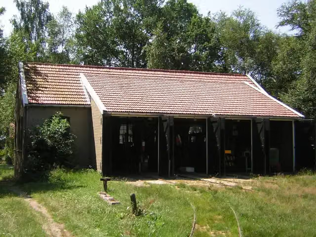 Industrieel Smalspoor MuseumMuseum · 6.5 km from the route
- 2
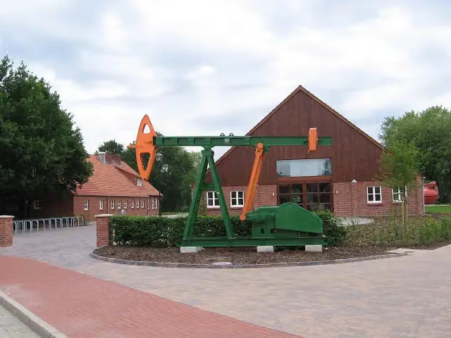 Erdöl-Erdgas-Museum TwistMuseum · 2.7 km from the route
- 3
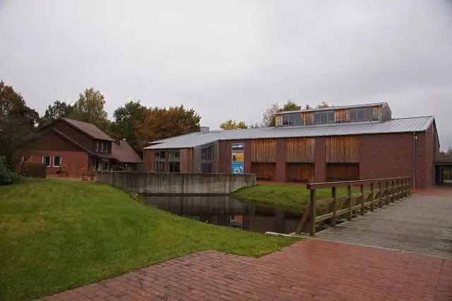 Emsland MoormuseumMuseum · 9.1 km from the route
- 4Aussichtsturm Wietmarscher MoorObservation tower · 8.2 km from the route
- 5Aussichtsplattform GeestmoorObservation tower · 8.9 km from the route
Explore more
Frequently asked questions
How long is Emslandroute?
Emslandroute is 7.6 km long. Allow ± 30 min of riding: 15 km an hour, without breaks.
Is this route a circular ride?
No, the route starts and ends at different spots.
Where does this route start?
The route starts in Emmen.
How hard is this route?
Easy.
Are there toilets along this route?
No, there is no public toilet within 100 m of the route. Go before you start.
Can you fill up with water along this route?
No, there is no water point within 100 m of the route. Bring enough water.
What is there to see along this route?
Along the way you pass Observation tower.
Starting point
More routes from this place
Route data © OpenStreetMap contributors





