 Outdoor Pitstop
Cycle route · Konstanz · Updated on 14 November 2026
Bodensee-Radweg cycle route
Bodensee-Radweg is a cycle route of 162.7 km from Konstanz that starts and ends at the same spot. Along the way you'll find 1,551 benches, 53 water fountains and refill points, 119 public toilets, 29 bike pumps and 3 honesty boxes and farm vending machines.
i
i
i
The route step by step
From start to finish, with what you pass along the way and the distance in between.
- 162.7 km
- ± 1:35 h per stage
- ↑ 480 m · ↓ 449 m
- Easy per stage
- Circular ride
- International route
Start in Konstanz
0 kmAt the start: 2 public toilets and water point.
192 m · 25 benches

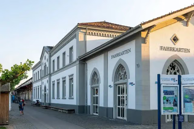
BSB Konstanz and 1 more
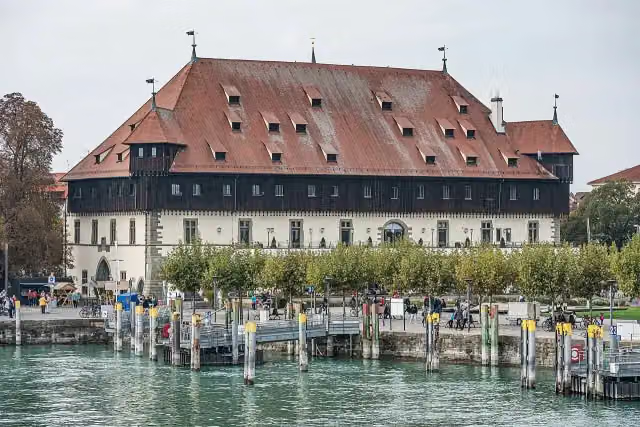
192 mKonzil, 2 public toilets and bike pump
622 m · 67 benches
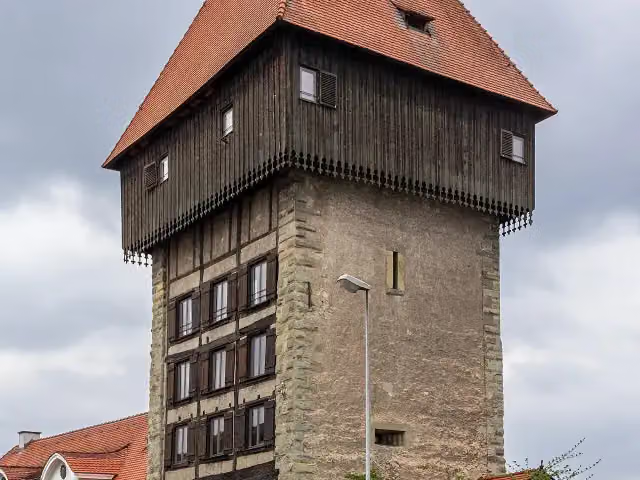
Rheintorturm
814 mAttraction
168 m · bench
Public toilet and bike pump
982 m933 m · 51 benches
Public toilet
1.9 km3 km · 9 benches
Public toilet
5 km2.5 km · 3 benches
Water point
7.5 km1.2 km · 6 benches
2 public toilets and bike pump
8.7 km2.5 km · 14 benches
2 public toilets and bike pump
11.1 km3.1 km · 31 benches
Public toilet and bike pump
14.3 km1.8 km · 12 benches
Public toilet and bike pump
16.1 km323 m · 7 benches
Public toilet
16.4 km181 m · 3 benches
Water point
16.6 km1.9 km · 13 benches
Water point and bike pump
18.4 km4.6 km · 7 benches
Schloss Langenrain
23 kmPublic toilet
4.1 km · 3 benches
Public toilet and 2 water fountains and refill points
27.1 km173 m
Water point
27.2 km3.5 km · 5 benches
Public toilet
30.8 km846 m · 2 benches
Public toilet
31.6 km1.4 km · 5 benches
Public toilet
33.1 km7.5 km · 15 benches
Public toilet and water point
40.6 km274 m · 4 benches
Public toilet
40.9 km824 m · 11 benches
Public toilet
41.7 km159 m · 13 benches
2 public toilets and 2 bike pumps
41.9 km1.2 km · 40 benches
Public toilet
43.1 km530 m · 15 benches
2 public toilets
43.6 km1.3 km · 15 benches
Public toilet
45 km1.4 km · 4 benches
Public toilet
46.4 km646 m · 4 benches
Schloss Maurach
47 kmWater point
343 m
Bike pump
47.4 km
Show the other 83 steps
2.8 km · 11 benches
3 public toilets and bike pump
50.2 km334 m · 36 benches
Public toilet and 2 water fountains and refill points
50.5 km4.2 km · 18 benches
2 public toilets
54.6 km153 m
Bike pump
54.8 km196 m · 8 benches
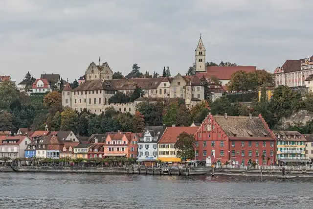
Burg Meersburg
55 km2 water fountains and refill points
231 m · 20 benches
Neues Schloss and 1 more
55.2 kmGredhaus, public toilet and bike pump
224 m · 20 benches
Droste-Hülshoff-Gymnasium
55.4 kmWater point
565 m · 22 benches
Public toilet
56 km3.1 km · 55 benches
3 public toilets
59.1 km775 m · 16 benches
Bike pump
59.9 km704 m · 10 benches
Public toilet
60.6 km223 m
Public toilet and 3 water fountains and refill points
60.8 km170 m
Public toilet and 4 water fountains and refill points
61 km595 m
Schloss Kirchberg
61.6 kmCastle
1.6 km
Public toilet
63.2 km612 m · 5 benches
Public toilet
63.8 km3 km · 4 benches
Public toilet
66.9 km2.5 km · 22 benches
Public toilet
69.3 km3 km · 10 benches
Schlosskirche
72.3 kmAttraction
278 m · bench
Schulmuseum
72.6 kmPublic toilet and bike pump
252 m · 11 benches
3 public toilets
72.9 km599 m · 52 benches
Kriegerdenkmal and 1 more
73.5 kmMarinefliegergeschwader 3 "Graf Zeppelin", 2 public toilets and bike pump
164 m · 34 benches
3 public toilets and water point
73.6 km235 m · 28 benches
Zeppelin Museum
73.9 km8 public toilets and 2 water fountains and refill points
216 m · 65 benches
Public toilet
74.1 km372 m · 5 benches
Public toilet
74.4 km818 m · 5 benches
3 water fountains and refill points and bike pump
75.3 km2.9 km · bench
Bike pump
78.2 km3.3 km · 7 benches
Public toilet
81.5 km1.4 km · 14 benches
2 public toilets
82.9 km180 m · 10 benches
2 public toilets and water point
83.1 km184 m · 13 benches
Public toilet
83.2 km218 m · 16 benches
Public toilet
83.5 km173 m · 24 benches
Public toilet
83.6 km2.7 km · 8 benches
Public toilet and 2 water fountains and refill points
86.4 km167 m
Public toilet and 4 water fountains and refill points
86.5 km2.1 km · 8 benches
Bike pump
88.6 km562 m · 5 benches
2 public toilets
89.2 km4.4 km · 20 benches
Public toilet and honesty box
93.6 km564 m · 3 benches
Public toilet
94.2 km1.3 km · 9 benches
Bike pump
95.5 km173 m
Honesty box
95.7 km3 km · 18 benches
Public toilet
98.7 km438 m · 19 benches
2 public toilets
99.1 km639 m · 25 benches
2 public toilets
99.8 km452 m · 26 benches
Public toilet and 2 water fountains and refill points
100.2 km330 m · 3 benches
Public toilet and 2 water fountains and refill points
100.5 km220 m · 13 benches
Water point
100.8 km352 m · 25 benches
Public toilet and water point
101.1 km2.2 km · 5 benches
Public toilet
103.3 km1.6 km · 2 benches
5 public toilets
104.9 km2.4 km · 10 benches
2 public toilets
107.2 km1.6 km · 4 benches
Schloss Kattenhorn
108.8 kmCastle
1.6 km · 9 benches
Museum Fischerhaus
110.4 kmPublic toilet
312 m · 15 benches
Gedenkstätte Jakob Picard
110.7 kmMuseum
2 km · 3 benches
Schloss Marbach
112.7 kmCastle
684 m · bench
Public toilet
113.4 km239 m · 4 benches
Museum Haus Dix
113.6 kmMuseum
3.1 km · 19 benches
Public toilet and 8 water fountains and refill points
116.8 km300 m
2 public toilets
117.1 km465 m · 2 benches
Public toilet and bike pump
117.5 km2.3 km · 5 benches
Bike pump
119.9 km2.5 km · 9 benches
2 public toilets and bike pump
122.3 km1.8 km · 11 benches
Public toilet and bike pump
124.1 km179 m · 2 benches
Observation tower
124.3 kmObservation tower
565 m · 4 benches
Public toilet
124.8 km2.5 km · 6 benches
Water point
127.3 km536 m
Public toilet
127.8 km347 m · 6 benches
Public toilet
128.2 km400 m · 22 benches
2 public toilets and water point
128.6 km253 m · 48 benches
2 public toilets
128.8 km561 m · 56 benches
Kriegerdenkmal
129.4 kmMemorial
2.9 km · 10 benches
Public toilet, water point and bike pump
132.3 km170 m · 5 benches
Water point
132.5 km5.7 km · 9 benches
2 public toilets
138.1 km221 m · 35 benches
Public toilet and bike pump
138.4 km198 m · 12 benches
Public toilet
138.6 km5.6 km · 38 benches
Honesty box
144.2 km1.8 km · 6 benches
Bike pump
146 km1.3 km · 16 benches
Bike pump
147.4 km530 m · 4 benches
Water point
147.9 km1.3 km · 28 benches
Petershausen Abbey and 1 more
149.2 kmArchäologisches Landesmuseum, 2 public toilets and bike pump
13.5 km · 30 benches
Back at the start
162.7 km
Longest stretch without a toilet: 13.4 kmBetween 149.3 km and 162.7 km there is no public toilet within 100 m of the route.
The route with the water points, toilets and sights within 100 m of it.
24 sights along the way
In the order you pass them. With the Outdoor Pitstop app you hear their story on the spot. 16 more along the route are on the map.
i
Photo: Tilman2007 · Wikimedia Commons · CC BY-SA 4.0View the photo on Wikimedia CommonsAttraction · after 212 m
i
Photo: A.Savin · Wikimedia Commons · FALView the photo on Wikimedia CommonsAttraction · after 255 m
i
Photo: JoachimKohler-HB · Wikimedia Commons · CC BY-SA 4.0View the photo on Wikimedia CommonsAttraction · after 814 m
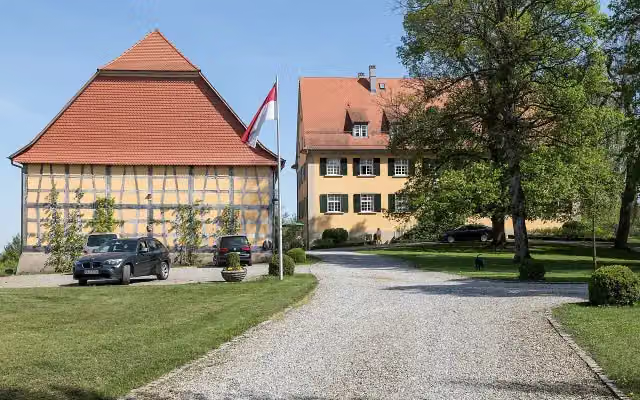
i
Photo: JoachimKohler-HB · Wikimedia Commons · CC BY-SA 4.0View the photo on Wikimedia CommonsCastle · after 23 km
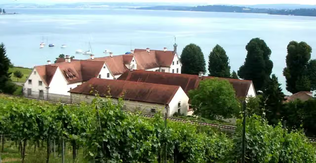
i
Photo: Photo: Andreas Praefcke · Wikimedia Commons · CC BY 3.0View the photo on Wikimedia CommonsCastle · after 47 km
Burg Meersburg
Attraction · after 55.1 km
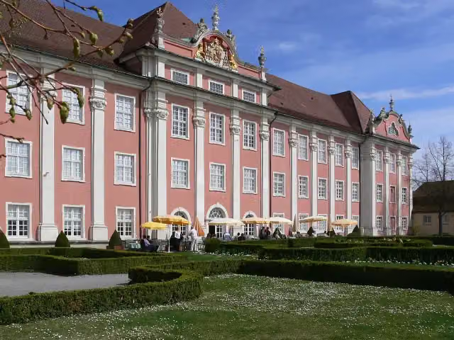
i
Photo: Photo: Andreas Praefcke · Wikimedia Commons · CC BY 3.0View the photo on Wikimedia CommonsAttraction · after 55.2 km
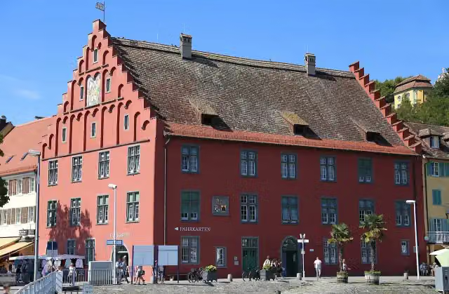
i
Photo: Rufus46 · Wikimedia Commons · CC BY-SA 3.0View the photo on Wikimedia CommonsAttraction · after 55.2 km
Stages (7)
Elevation and terrain
- Up
- ↑ 480 m
- Down
- ↓ 449 m
- Highest point
- 549 m
- Lowest point
- 397 m
- 5-10% slope · 1.7 km
Elevation from Copernicus GLO-30 (European Union and ESA), smoothed.
produced using Copernicus WorldDEM-30 © DLR e.V. 2010-2014 and © Airbus Defence and Space GmbH 2014-2018 provided under COPERNICUS by the European Union and ESA; all rights reserved
Way types
162.7 km in total- Path: 60.6 km
- Street: 55.4 km
- Track: 16.1 km
- Road: 10.8 km
- Busy road: 6.2 km
- Cycle path: 2.3 km
- Footpath (walk your bike): 1.3 km
Surfaces
162.7 km in total- Asphalt: 137.2 km
- Gravel: 12.6 km
- Paved: 3 km
About the cycle route Bodensee-Radweg
Updated on 14 November 2026, with data from OpenStreetMap, the AHN and Copernicus.
Where do you cycle?
Bodensee-Radweg is a circular ride of 162.7 km from Konstanz: it starts and ends in the same place. Along the way you pass BSB Konstanz (after 212 m), Konzil (after 255 m) and Rheintorturm (after 814 m).
How hard is the route?
You climb 480 m in total and descend 449 m. Allow ± 1:35 h per stage, without breaks. Per stage the level is easy.
What roads do you cycle on?
The longest part is path (60.6 km), street (55.4 km) and track (16.1 km). Of the surface, 137.2 km asphalt and 12.6 km gravel.
Pitstops along the way
Within 100 metres of the route there are 1,551 benches, 53 water fountains and refill points, 119 public toilets, 29 bike pumps and 3 honesty boxes and farm vending machines. The longest stretch without a toilet is 13.4 km. The Outdoor Pitstop app navigates you there.
The Bodensee-Radweg (Lake Constance Cycle Path) is a long-distance cycle route of about 260 km around Lake Constance, including the Untersee and Lake Überlingen; the German shore covers 163 km. From Konstanz you ride via Überlingen, Meersburg and Friedrichshafen to Lindau, and along the Untersee via Radolfzell and Gaienhofen. On the way are Meersburg Castle and the Zeppelin Museum in Friedrichshafen. Almost all of it is asphalt. We know of 53 drinking water points and plenty of toilets along the route.
Source: Wikipedia (CC BY-SA)
Cycle routes nearby
6- Literaturland BW - Radweg 04Moderate · From A to B44.4 km
- Hohenzollern RadwegHard · From A to B271.2 km
- Bodensee-Radweg, Abkürzung KonstanzEasy · From A to B2.1 km
- Rhein-RouteEasy · From A to B14 km
- EuroVelo 15 - Rheinradweg - Teilstrecke Konstanz - Stein am RheinModerate · From A to B43.9 km
- Literaturland BW - Radweg 04 - Abstecher ReichenauEasy · From A to B2.8 km
Sights nearby
Within 10 km of the route, best known first.
- 1
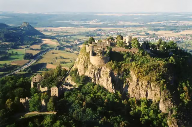 HohentwielViewpoint · 9.5 km from the route
- 2
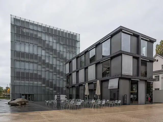 Kunsthaus BregenzMuseum · 3.2 km from the route
- 3
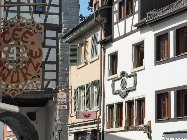 Hus-HausMuseum · 442 m from the route
- 4
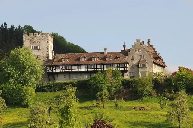 Schloss WolfurtCastle · 7.1 km from the route
- 5
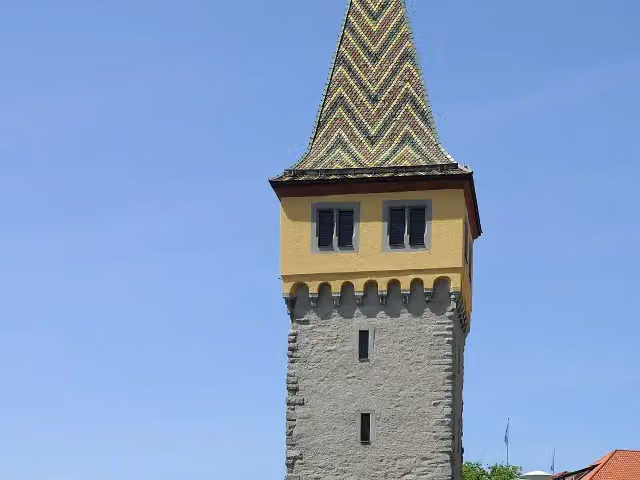 MangturmAttraction · 104 m from the route
- 6
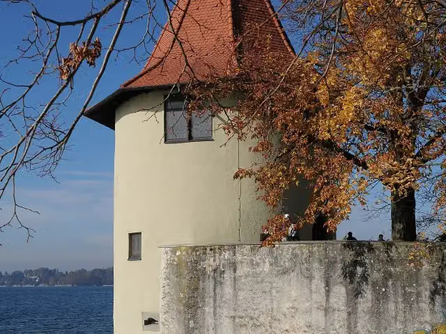 Ammunition towerAttraction · 436 m from the route
- 7
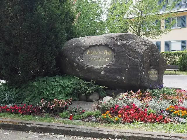 HussensteinMemorial · 979 m from the route
- 8
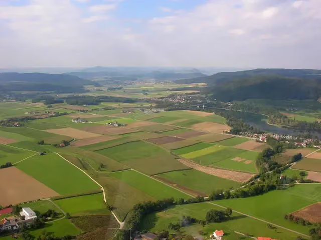 Ruine WolkensteinCastle · 3.4 km from the route
- 9
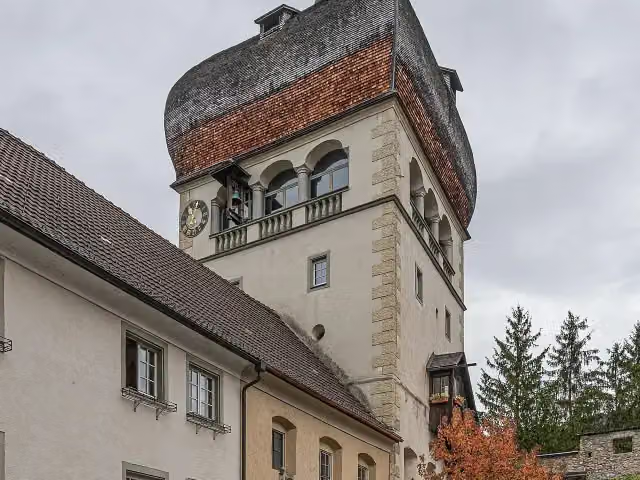 Martinsturm BregenzMuseum · 3.7 km from the route
- 10
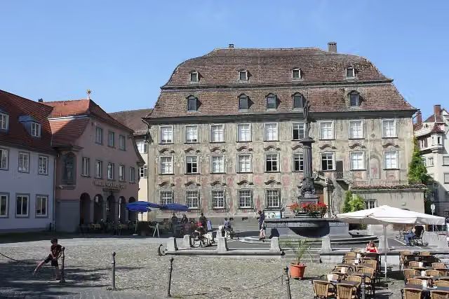 Cavazzen MuseumMuseum · 83 m from the route
- 11
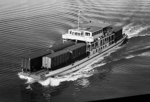 Schussen - Grillhaus am SeeAttraction · 106 m from the route
- 12
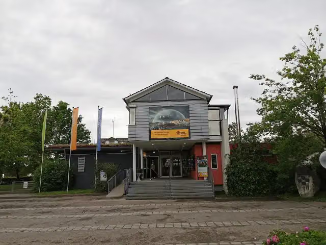 Pfahlbaumuseum UnteruhldingenMuseum · 106 m from the route
- 13
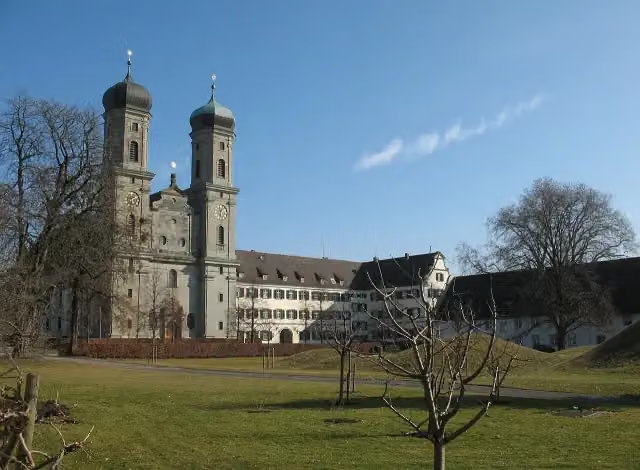 Schloss FriedrichshafenCastle · 113 m from the route
- 14
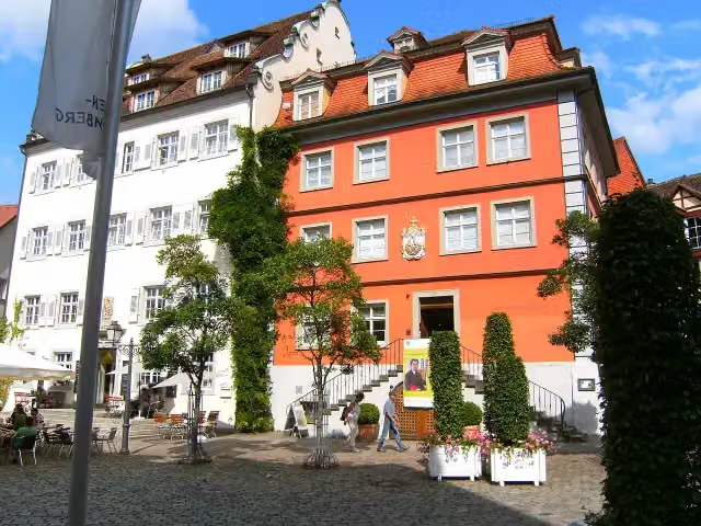 Galerie BodenseekreisMuseum · 122 m from the route
- 15
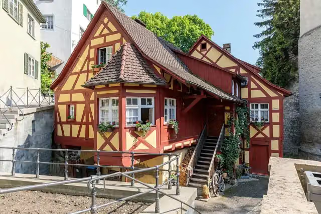 SchlossmühleAttraction · 125 m from the route
- 16
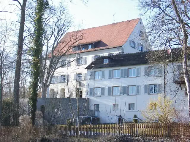 Schloss GaienhofenCastle · 125 m from the route
- 17
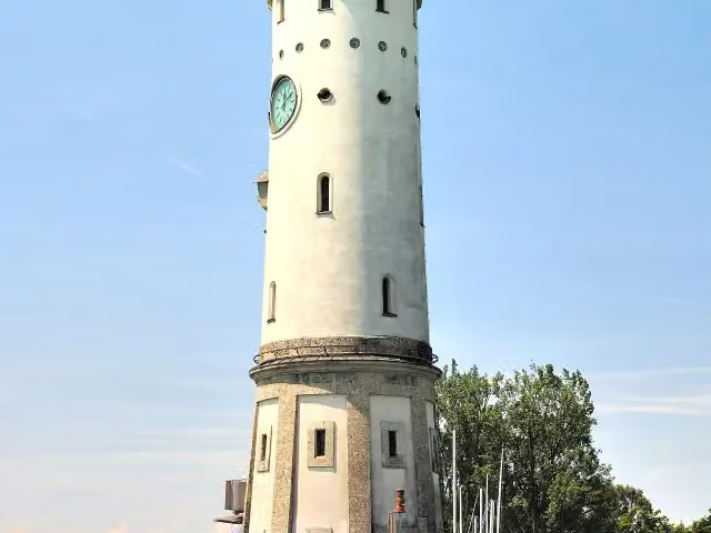 AttractionAttraction · 130 m from the route
- 18
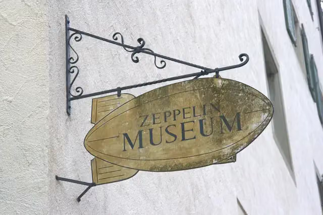 ZeppelinmuseumMuseum · 132 m from the route
- 19
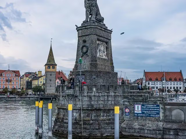 LöwendenkmalMemorial · 146 m from the route
- 20
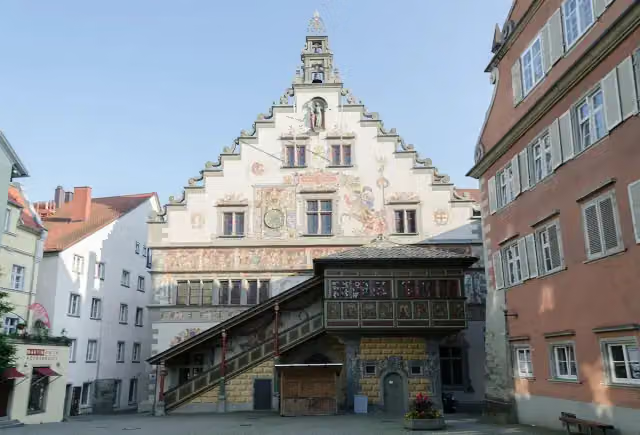 Altes RathausAttraction · 154 m from the route
- 21
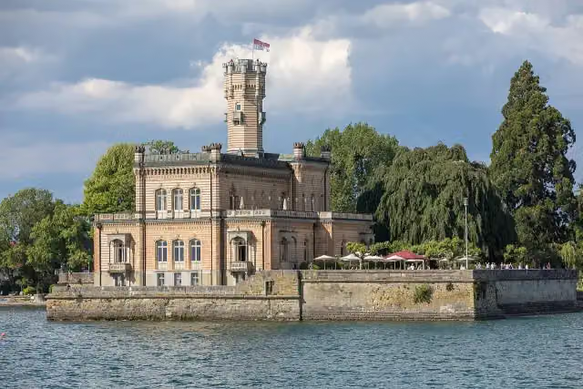 Schloss MontfortViewpoint · 155 m from the route
- 22
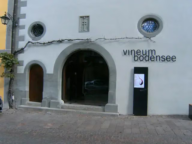 Vineum BodenseeMuseum · 160 m from the route
- 23
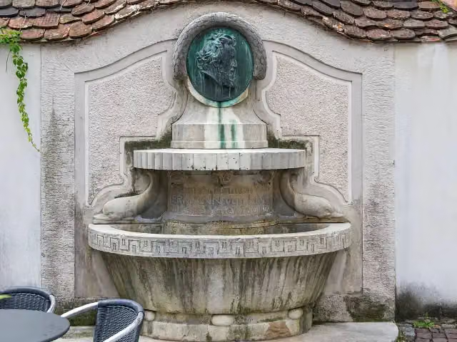 LinggbrunnenAttraction · 163 m from the route
- 24
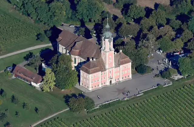 Basilika BirnauAttraction · 163 m from the route
- 25
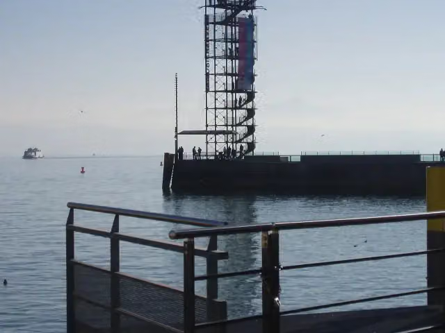 MoleturmObservation tower · 180 m from the route
Explore more
More cycle routes around Konstanz
More nearby
Frequently asked questions
How long is Bodensee-Radweg?
Bodensee-Radweg is 162.7 km long, in 7 parts of 23.2 km on average. Allow ± 1:35 h per part of riding: 15 km an hour, without breaks.
Is this route a circular ride?
Yes, the route starts and ends at the same spot.
Where does this route start?
The route starts in Konstanz.
How hard is this route?
Easy per stage, with 69 m per stage of climbing.
Are there toilets along this route?
Yes, there are 119 public toilets within 100 m of the route. The longest stretch without a toilet is 13.4 km.
Can you fill up with water along this route?
Yes, there are 53 water fountains and refill points within 100 m of the route.
What is there to see along this route?
Along the way you pass BSB Konstanz, Konzil and Rheintorturm.
Can I download this route as a GPX file?
Yes. Sign in with your Outdoor Pitstop account and choose Download GPX at the top of this page: 10 routes a month for free, unlimited with Pro.
Starting point
More routes from this place
Route data © OpenStreetMap contributors





