 Outdoor Pitstop
Cycle route · Súdwest-Fryslân · Updated on 5 November 2026
Elfstedenroute - 03 - IJlst - Sloten cycle route
Elfstedenroute - 03 - IJlst - Sloten is a cycle route of 31.6 km from Súdwest-Fryslân. Along the way: 41 benches and picnic tables and 6 public toilets.
i
i
The route step by step
From start to finish, with what you pass along the way and the distance in between.
- 31.6 km
- ± 2:05 h
- ↑ 16 m · ↓ 17 m
- Moderate
- From A to B
- Regional route
Start in Súdwest-Fryslân
0 km738 m · 2 benches
Public toilet
738 m4.1 km · 4 benches
Public toilet
4.9 km514 m · 9 benches

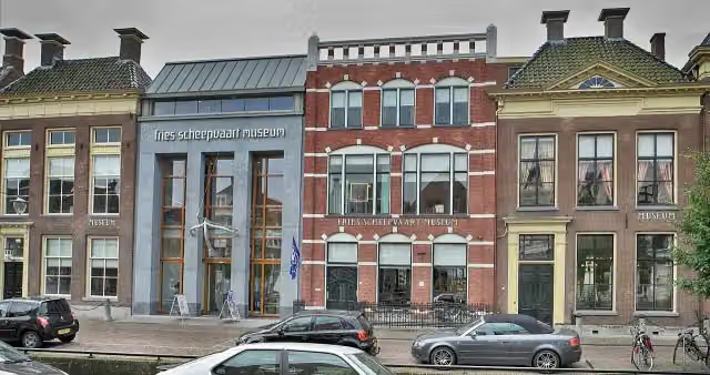
Fries Scheepvaart Museum
5.4 kmMuseum · Audio story · 2 min
389 m · bench
2 public toilets
5.8 km437 m · 2 benches
Observation tower
6.2 kmObservation tower
11.2 km · 12 benches
Public toilet
17.4 km632 m
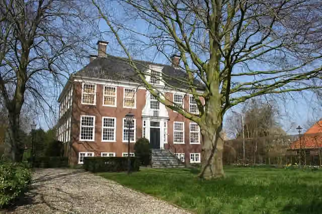
Osingastate
18.1 kmCastle
13.1 km · 8 benches
Public toilet
31.2 km180 m · 2 benches
Museum Sloten
31.3 kmMuseum
246 m · bench
Finish
31.6 km
Longest stretch without a toilet: 13.7 kmBetween 17.4 km and 31.2 km there is no public toilet within 100 m of the route.
The route with the pitstops and sights within 100 m of it.
4 sights along the way
In the order you pass them. With the Outdoor Pitstop app you hear their story on the spot.
- Audio story · 2 min
i
Photo: Condor3d · Wikimedia Commons · CC BY-SA 4.0View the photo on Wikimedia CommonsFries Scheepvaart Museum
Museum · after 5.4 km

Observation tower · after 6.2 km
i
Photo: Pa3ems · Wikimedia Commons · CC BY-SA 3.0View the photo on Wikimedia CommonsCastle · after 18.1 km
Museum · after 31.3 km
Elevation and terrain
- Up
- ↑ 16 m
- Down
- ↓ 17 m
- Highest point
- 7 m
- Lowest point
- -1 m
Nowhere steeper than 5%.
Elevation from AHN (Rijkswaterstaat), smoothed.
Way types
31.6 km in total- Road: 14.6 km
- Cycle path: 13.8 km
- Street: 1.5 km
- Busy road: 1.3 km
- Path: 325 m
- Unknown: 75 m
Surfaces
31.6 km in total- Paved: 10.8 km
- Asphalt: 6.9 km
- Unknown: 13.9 km
About the cycle route Elfstedenroute - 03 - IJlst - Sloten
Updated on 5 November 2026, with data from OpenStreetMap and the AHN.
Where do you cycle?
Elfstedenroute - 03 - IJlst - Sloten is a cycle route of 31.6 km that starts in Súdwest-Fryslân. It does not end where it starts. You start in IJlst and finish in Sloten. Along the way you pass Fries Scheepvaart Museum (after 5.4 km), Observation tower (after 6.2 km) and Osingastate (after 18.1 km).
How hard is the route?
The route is almost flat. You climb 16 m in total and descend 17 m. Allow ± 2:05 h, without breaks. The level is moderate.
What roads do you cycle on?
The longest part is road (14.6 km), cycle path (13.8 km) and street (1.5 km). Of the surface, 10.8 km paved and 6.9 km asphalt. For 13.9 km the surface is not known.
Pitstops along the way
Within 100 metres of the route there are 41 benches and picnic tables and 6 public toilets. The longest stretch without a toilet is 13.7 km. The Outdoor Pitstop app navigates you there.
This stage of the Elfstedenroute (Eleven Cities route) is a cycle route of about 32 km from IJlst to Sloten, in the municipalities of Súdwest-Fryslân and De Friese Meren. You ride through Sneek, home of the Fries Scheepvaart Museum, and Oppenhuizen to Langweer, Sint Nicolaasga and Tjerkgaast, and on to the little fortified town of Sloten and its museum. On the way you also pass Osingastate and a lookout tower. It is flat and almost half is cycle path. We know of six toilets along the route, but no drinking water or bike pump. The full Elfstedenroute is some 265 km.
Part of Elfstedenroute
Website of the routeCycle routes nearby
4Sights nearby
Within 10 km of the route, best known first.
- 1
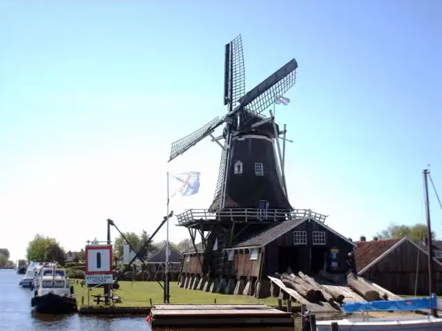 Molenhuis De JagerMuseum · 5.3 km from the route
- 2
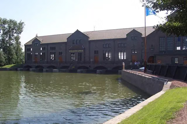 Ir. D.F. Wouda-gemaalMuseum · 5.8 km from the route
- 3
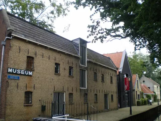 Museum JoureMuseum · 4.6 km from the route
- 4
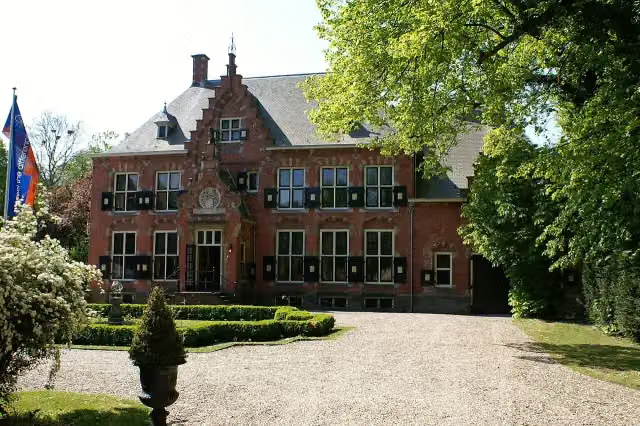 EpemastateCastle · 2.1 km from the route
- 5
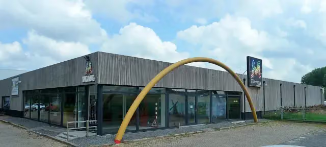 Modelspoor MuseumMuseum · 301 m from the route
- 6
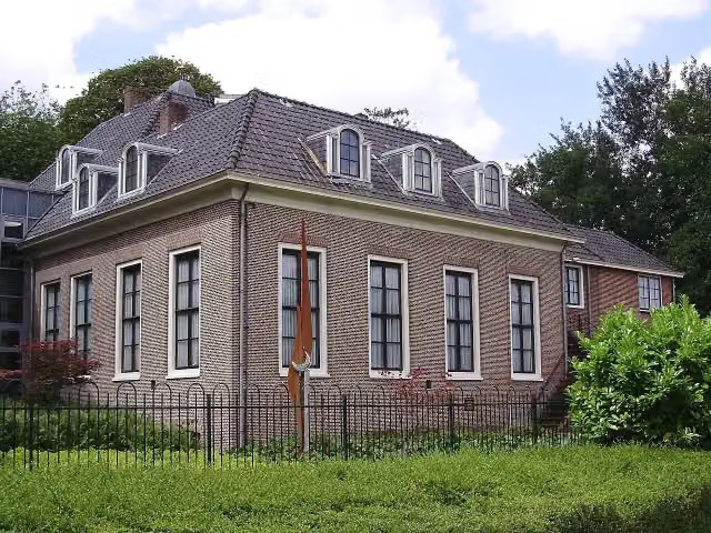 HeremastateCastle · 4.4 km from the route
- 7
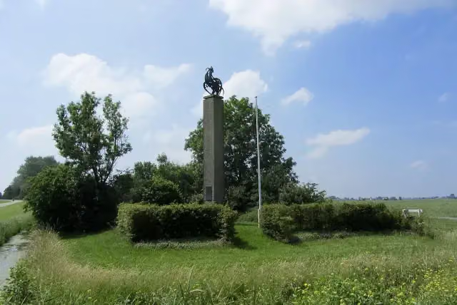 De HoanneMemorial · 3.1 km from the route
- 8
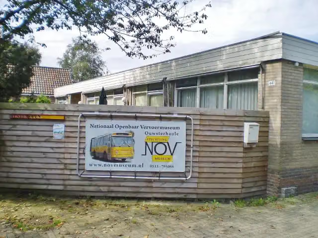 Nationaal Openbaar VervoermuseumMuseum · 3.7 km from the route
- 9
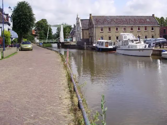 It TsiispakhúsMuseum · 9.8 km from the route
- 10Wite en Swarte Brekken - UitkijktorenObservation tower · 2.3 km from the route
- 11Observation towerObservation tower · 9.5 km from the route
Explore more
More cycle routes around Súdwest-Fryslân
More nearby
Frequently asked questions
How long is Elfstedenroute - 03 - IJlst - Sloten?
Elfstedenroute - 03 - IJlst - Sloten is 31.6 km long. Allow ± 2:05 h of riding: 15 km an hour, without breaks.
Is this route a circular ride?
No, the route runs from IJlst to Sloten.
Where does this route start?
The route starts in Súdwest-Fryslân.
How hard is this route?
Moderate, with 16 m of climbing.
Are there toilets along this route?
Yes, there are 6 public toilets within 100 m of the route. The longest stretch without a toilet is 13.7 km.
Can you fill up with water along this route?
No, there is no water point within 100 m of the route. Bring enough water.
What is there to see along this route?
Along the way you pass Fries Scheepvaart Museum, Observation tower and Osingastate.
Start place
More routes from this place
Route data © OpenStreetMap contributors





