 Outdoor Pitstop
Cycle route · Osnabrück · Updated on 14 November 2026
BahnRadRoute Teuto - Senne cycle route
BahnRadRoute Teuto - Senne is a cycle route of 185.7 km from Osnabrück. Along the way you'll find 677 benches, 4 water fountains and refill points, 26 public toilets, 7 bike pumps and 2 honesty boxes and farm vending machines.
i
i
The route step by step
From start to finish, with what you pass along the way and the distance in between.
- 185.7 km
- ± 1:25 h per stage
- ↑ 690 m · ↓ 651 m
- Easy per stage
- From A to B
- Regional route
Start in Osnabrück
0 km6.6 km · 3 benches
Public toilet
6.6 km10.2 km · 8 benches
Public toilet
16.8 km7.3 km · 4 benches

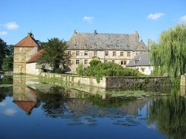
Schloß Holtfeld
24.1 kmCastle
1.7 km
Public toilet
25.8 km9.8 km · 23 benches
NaMu - Naturkunde-Museum and 1 more
35.6 kmKunsthalle
255 m · 15 benches
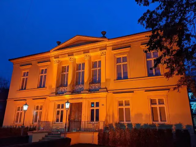
Kunstforum Hermann Stenner
35.8 kmMuseum
1.3 km · 13 benches
2 public toilets
37.1 km382 m · 2 benches
Public toilet
37.5 km406 m · 22 benches
Public toilet and honesty box
37.9 km531 m · 23 benches
Public toilet
38.4 km152 m · 13 benches
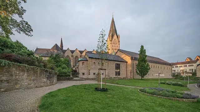
Diözesanmuseum and 1 more
38.6 kmMuseum in der Kaiserpfalz, public toilet and water point
263 m · 24 benches
2 public toilets
38.9 km299 m · 25 benches
2 public toilets
39.2 km739 m · 40 benches
2 bike pumps
39.9 km3.8 km · 45 benches
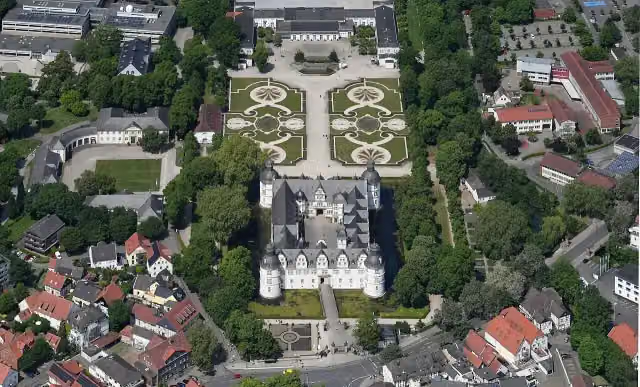
Schloss Neuhaus
43.7 kmBike pump
966 m · 41 benches
Public toilet
44.7 km2.9 km · 23 benches
2 public toilets
47.5 km296 m · 8 benches
2 public toilets and bike pump
47.8 km9.9 km · 22 benches
Public toilet
57.7 km691 m · 16 benches
Public toilet
58.4 km5.8 km · 7 benches
Public toilet and water point
64.2 km2.3 km · 8 benches
Bike pump
66.5 km334 m · 8 benches
Public toilet
66.8 km1.6 km · 5 benches
Bike pump
68.4 km2.6 km · 2 benches
Bike pump
71 km12.6 km · 3 benches
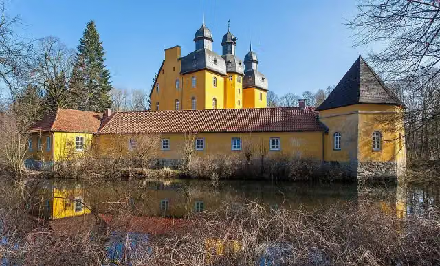
Schloss Holte
83.6 kmCastle
6.7 km · 5 benches
Honesty box
90.3 km281 m
Public toilet
90.5 km24.6 km · 34 benches
Water point
115.2 km
Show the other 7 steps
10.3 km · 36 benches
Wasserschloss Tatenhausen
125.4 kmCastle
40.7 km · 95 benches
Uhrenmuseum
166.1 km2 public toilets
1 km · 28 benches
Aussichtsturm
167.1 kmPublic toilet
328 m · 5 benches
Observation tower
167.5 kmObservation tower
9.3 km · 4 benches
Augustaschacht and 1 more
176.7 kmGedenkstätte Augustaschacht
8.4 km · 17 benches
Abluftsäule
185.2 kmMemorial
567 m · 50 benches
Finish
185.7 kmAt the finish: Mahnmal Peter Hamel and water point.
Longest stretch without a toilet: 75.5 kmBetween 90.5 km and 166.1 km there is no public toilet within 100 m of the route.
The route with the water points, toilets and sights within 100 m of it.
16 sights along the way
In the order you pass them. With the Outdoor Pitstop app you hear their story on the spot. 8 more along the route are on the map.
Castle · after 24.1 km
i
Photo: G8w · Wikimedia Commons · CC BY-SA 3.0View the photo on Wikimedia CommonsMuseum · after 35.6 km

Museum · after 35.7 km
i
Photo: LO1989 · Wikimedia Commons · CC BY-SA 4.0View the photo on Wikimedia CommonsMuseum · after 35.8 km
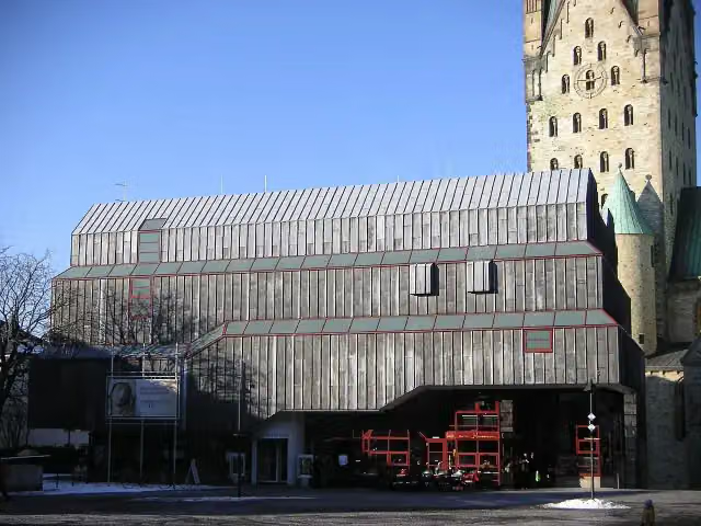
Museum · after 38.6 km
i
Photo: A.Savin · Wikimedia Commons · FALView the photo on Wikimedia CommonsMuseum · after 38.7 km
i
Photo: Carsten Steger · Wikimedia Commons · CC BY-SA 4.0View the photo on Wikimedia CommonsAttraction · after 43.7 km
i
Photo: Grugerio · Wikimedia Commons · CC BY-SA 3.0View the photo on Wikimedia CommonsCastle · after 83.6 km
Stages (9)
- 1BahnRadRoute Teuto - Senne (Alternativroute Georgsmarienhütte)16.6 km
- 2BahnRadRoute Teuto - Senne (Alternativroute Umgehung Borgholzhausen)9.1 km
- 3BahnRadRoute Teuto - Senne (Zubringer Bahnhof Brackwede)1.1 km
- 4BahnRadRoute Teuto - Senne (Zubringer Bahnhof Quelle)204 m
- 5BahnRadRoute Teuto - Senne (Zubringer Bahnhof Senne)401 m
- 6BahnRadRoute Teuto - Senne (Zubringer Bahnhof Sennestadt)838 m
- 7BahnRadRoute Teuto - Senne (Zubringer Bahnhof Steinhagen)1.3 km
- 8BahnRadRoute Teuto - Senne (Zubringer Hauptbahnhof Bielefeld)7.6 km
- 9BahnRadRoute Teuto - Senne Hauptroute148.6 km
Elevation and terrain
- Up
- ↑ 690 m
- Down
- ↓ 651 m
- Highest point
- 204 m
- Lowest point
- 68 m
- 5-10% slope · 1.5 km
- 15-20% slope · 201 m
- 20% slope or steeper · 184 m
Elevation from Copernicus GLO-30 (European Union and ESA), smoothed.
produced using Copernicus WorldDEM-30 © DLR e.V. 2010-2014 and © Airbus Defence and Space GmbH 2014-2018 provided under COPERNICUS by the European Union and ESA; all rights reserved
Way types
185.7 km in total- Road: 82.2 km
- Street: 44.6 km
- Path: 30.7 km
- Track: 15.7 km
- Busy road: 6.1 km
- Footpath (walk your bike): 3.8 km
- Cycle path: 2.3 km
Surfaces
185.7 km in total- Asphalt: 136 km
- Gravel: 16.6 km
- Paved: 12.2 km
- Unpaved: 1.7 km
- Unknown: 18.8 km
About the cycle route BahnRadRoute Teuto - Senne
Updated on 14 November 2026, with data from OpenStreetMap, the AHN and Copernicus.
Where do you cycle?
BahnRadRoute Teuto - Senne is a cycle route of 185.7 km that starts in Osnabrück. It does not end where it starts. Along the way you pass Schloß Holtfeld (after 24.1 km), NaMu - Naturkunde-Museum (after 35.6 km) and Kunsthalle (after 35.7 km).
How hard is the route?
You climb 690 m in total and descend 651 m. Allow ± 1:25 h per stage, without breaks. Per stage the level is easy.
What roads do you cycle on?
The longest part is road (82.2 km), street (44.6 km) and path (30.7 km). Of the surface, 136 km asphalt and 16.6 km gravel. For 18.8 km the surface is not known.
Pitstops along the way
Within 100 metres of the route there are 677 benches, 4 water fountains and refill points, 26 public toilets, 7 bike pumps and 2 honesty boxes and farm vending machines. You can fill your bottle after 38.7 km, after 64.2 km, after 115.2 km and at the finish. The longest stretch without a toilet is 75.5 km. The Outdoor Pitstop app navigates you there.
Cycle routes nearby
6Sights nearby
Within 10 km of the route, best known first.
- 1
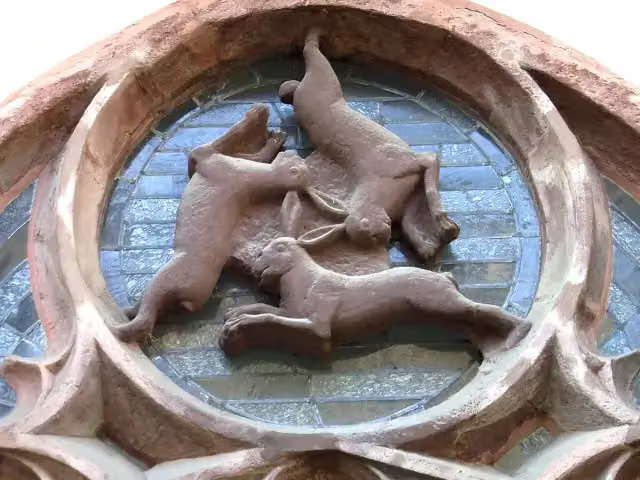 DreihasenfensterAttraction · 140 m from the route
- 2
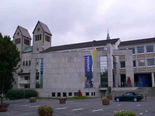 StadtmuseumMuseum · 153 m from the route
- 3
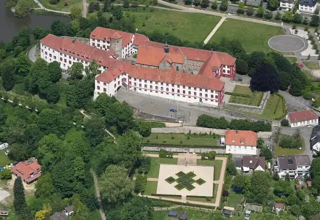 Schloss IburgCastle · 157 m from the route
- 4
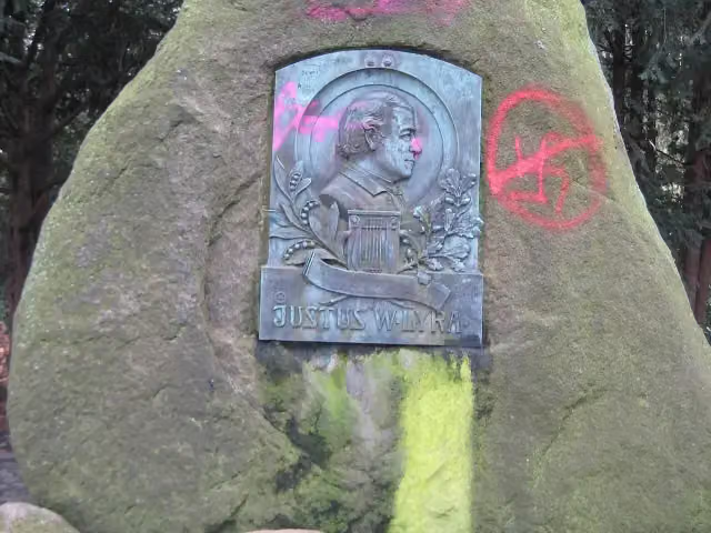 Lyra-DenkmalMemorial · 164 m from the route
- 5
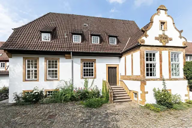 Kunstverein BielefeldMuseum · 170 m from the route
- 6
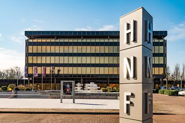 Heinz Nixdorf MuseumsForumMuseum · 252 m from the route
- 7
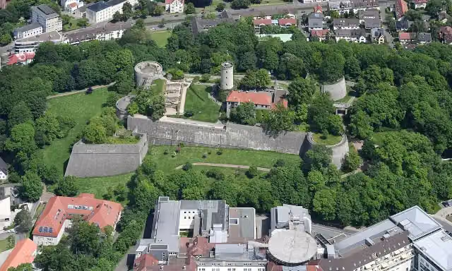 Burg und Festung SparrenbergAttraction · 317 m from the route
- 8
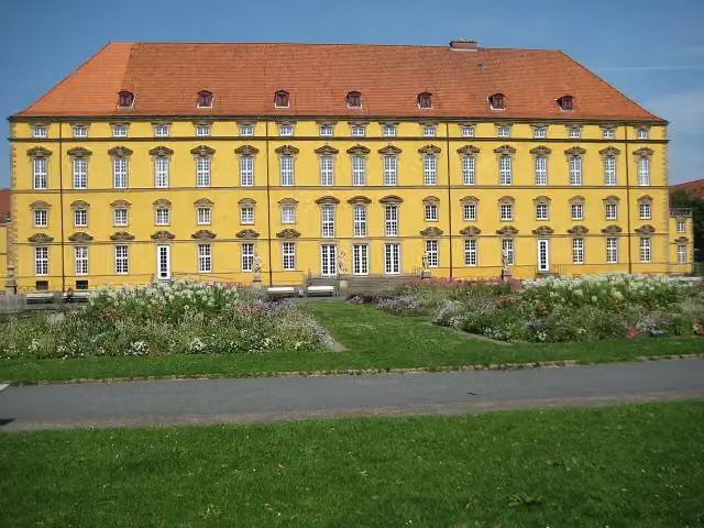 Schloss OsnabrückCastle · 357 m from the route
- 9
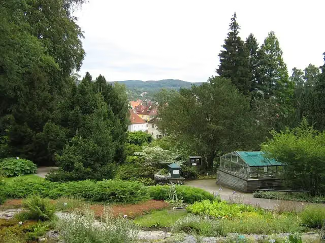 Botanischer GartenAttraction · 386 m from the route
- 10
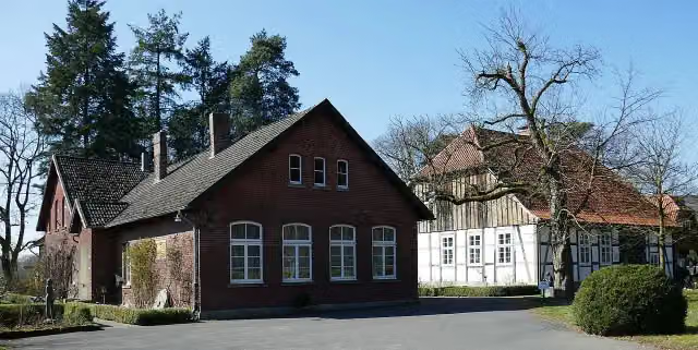 Museum OsthusschuleMuseum · 396 m from the route
- 11
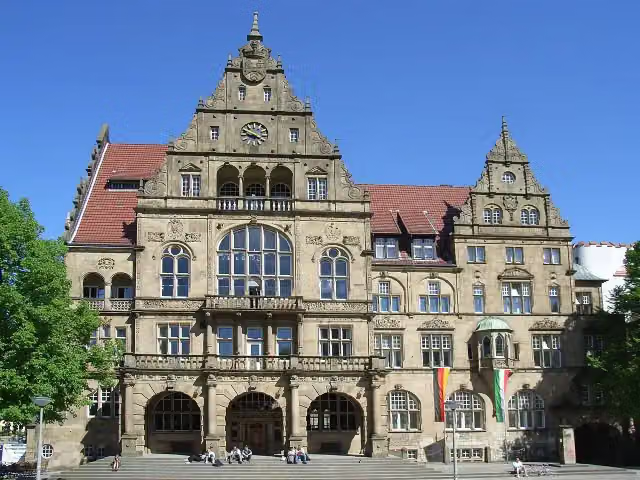 Altes RathausAttraction · 422 m from the route
- 12
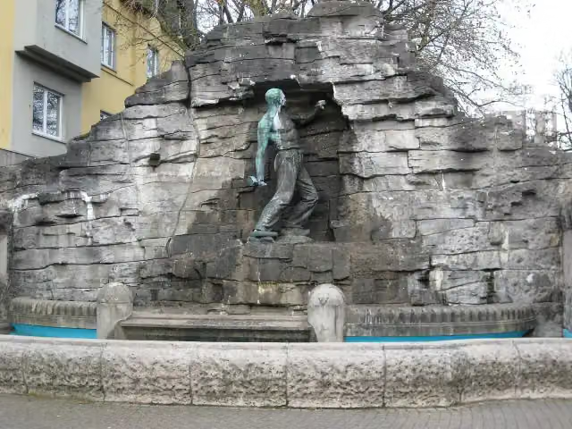 HaarmannsbrunnenAttraction · 624 m from the route
- 13
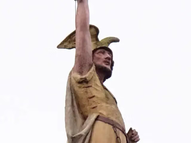 Kleiner HermannMemorial · 697 m from the route
- 14
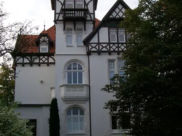 Villa StahmerMuseum · 732 m from the route
- 15
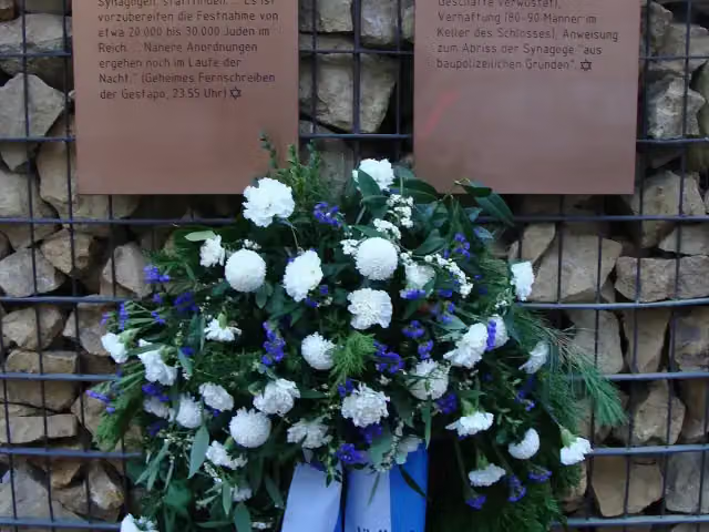 Mahnmal Alte SynagogeMemorial · 784 m from the route
- 16
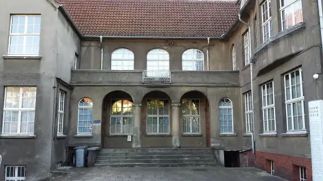 Museum WäschefabrikMuseum · 844 m from the route
- 17
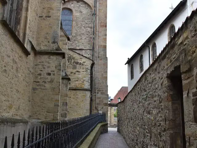 HexengangAttraction · 871 m from the route
- 18
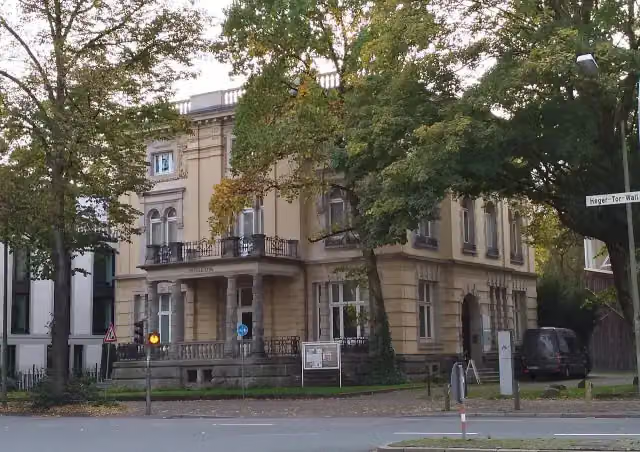 Die Villa_Museum · 881 m from the route
- 19
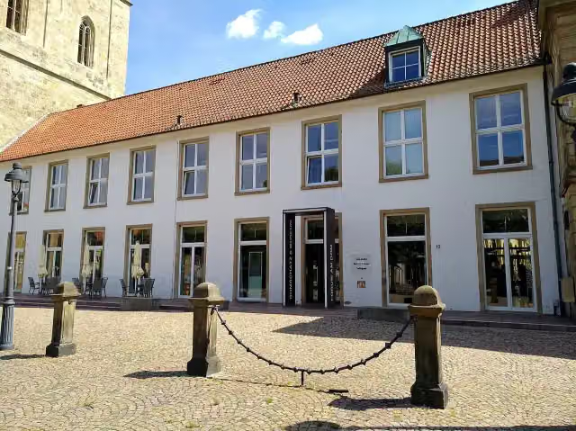 Forum am Dom - Domschatzkammer und DiözesanmuseumMuseum · 896 m from the route
- 20
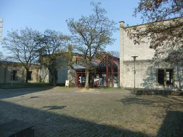 Historisches Museum BielefeldMuseum · 930 m from the route
- 21
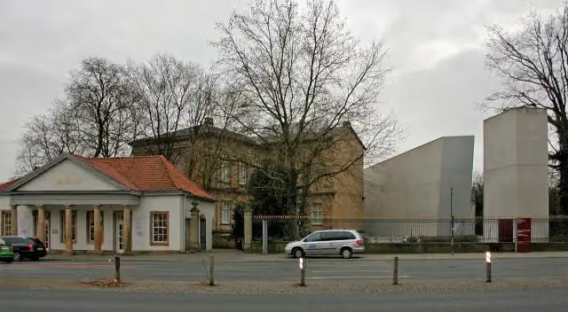 Kulturgeschichtliches MuseumMuseum · 935 m from the route
- 22
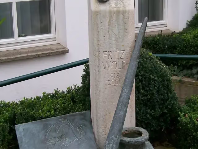 Fritz-Wolf-DenkmalMemorial · 952 m from the route
- 23
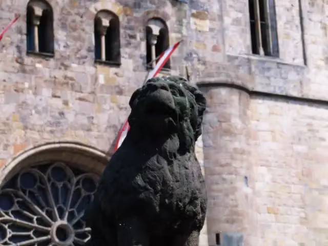 LöwenpudelMemorial · 970 m from the route
- 24
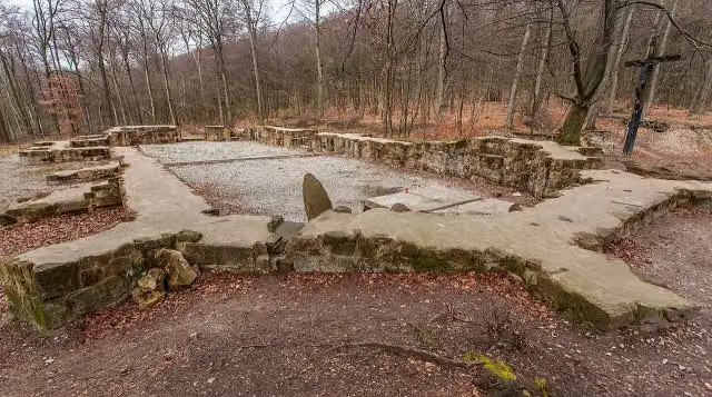 Ruine des JostbergklostersArchaeological site · 976 m from the route
- 25
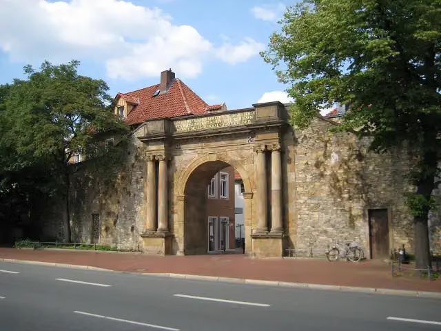 Waterloo-TorMemorial · 996 m from the route
Explore more
More cycle routes around Osnabrück
Frequently asked questions
How long is BahnRadRoute Teuto - Senne?
BahnRadRoute Teuto - Senne is 185.7 km long, in 9 parts of 20.6 km on average. Allow ± 1:25 h per part of riding: 15 km an hour, without breaks.
Is this route a circular ride?
No, the route starts and ends at different spots.
Where does this route start?
The route starts in Osnabrück.
How hard is this route?
Easy per stage, with 77 m per stage of climbing.
Are there toilets along this route?
Yes, there are 26 public toilets within 100 m of the route. The longest stretch without a toilet is 75.5 km.
Can you fill up with water along this route?
Yes, there are 4 water fountains and refill points within 100 m of the route.
What is there to see along this route?
Along the way you pass Schloß Holtfeld, NaMu - Naturkunde-Museum and Kunsthalle.
Can I download this route as a GPX file?
Yes. Sign in with your Outdoor Pitstop account and choose Download GPX at the top of this page: 10 routes a month for free, unlimited with Pro.
Starting point
More routes from this place
Route data © OpenStreetMap contributors





