 Outdoor Pitstop
Walking route · Iserlohn · Updated on 13 November 2026
Sauerland-Waldroute walk
Sauerland-Waldroute is a walk of 244.5 km from Iserlohn. Along the way you'll find 654 benches, 3 water fountains and refill points, 18 public toilets and 4 bike pumps.
i
i
i
The route step by step
From start to finish, with what you pass along the way and the distance in between.
- 244.5 km
- ± 20:50 h per stage
- ↑ 4,882 m · ↓ 4,738 m
- Hard per stage
- From A to B
- Regional route
- Colour of the signs
Start in Iserlohn
0 kmAt the start: public toilet.
1 km · 21 benches

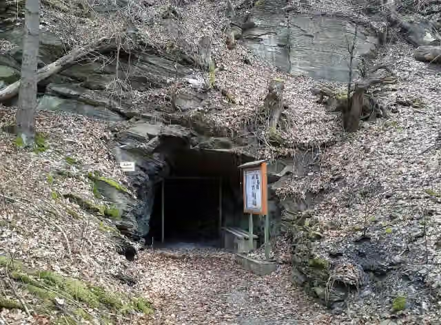
Ballots Brunnen
1 kmAttraction
546 m · 5 benches
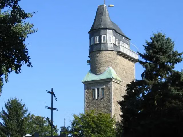
Danzturm
1.6 kmObservation tower
45.1 km · 73 benches
Public toilet and water point
46.7 km11.8 km · 10 benches
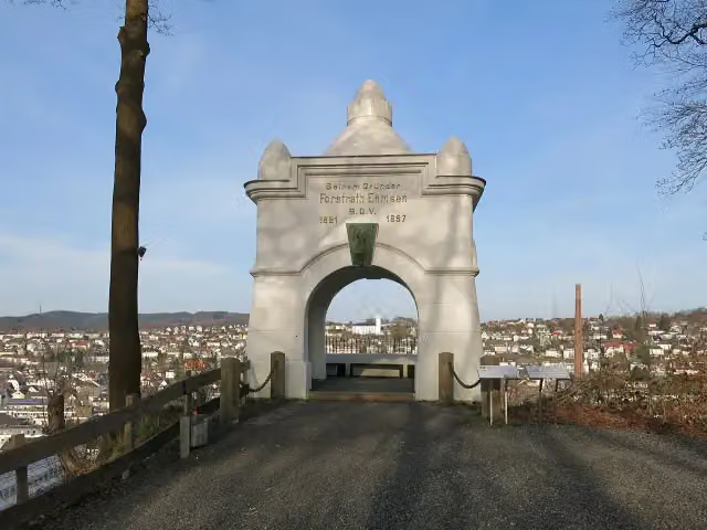
Ehmsendenkmal
58.5 kmMemorial
360 m · bench
Public toilet and bike pump
58.8 km164 m · bench
Water point
59 km254 m
Sauerland-Museum and 1 more
59.2 kmAltes Rathaus and public toilet
405 m · 3 benches
Oberfreistuhl, Femegerichtsbarkeit and 1 more
59.6 kmArnsberger Schloßruine
13.4 km · 20 benches
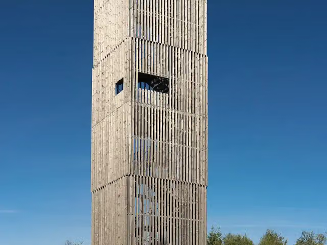
Möhnesee-Turm
73 kmObservation tower
25.4 km · 29 benches
2 public toilets
98.5 km296 m · bench
Bike pump
98.8 km156 m · bench
Public toilet
98.9 km345 m · 5 benches
Bilsteinhöhle and 1 more
99.3 kmRotfuchs
4.1 km · 6 benches
Public toilet
103.3 km15.1 km · 54 benches
2 public toilets
118.4 km5.2 km · 11 benches
Römerlager Kneblinghausen
123.6 kmArchaeological site
17.8 km · 15 benches
Schloss Alme
141.3 kmCastle
445 m · 12 benches
Public toilet
141.8 km28.2 km · 64 benches
Public toilet
170 km1.2 km · 8 benches
Buttenturm
171.2 kmViewpoint
9.6 km · 38 benches
Public toilet
180.8 km3.5 km · 7 benches
Bike pump
184.3 km5.1 km · 17 benches
Public toilet
189.4 km1.3 km · 33 benches
Bike pump
190.7 km230 m · 5 benches
Public toilet
190.9 km516 m · 6 benches
Public toilet
191.4 km15.7 km · 40 benches
Public toilet
207.1 km10.4 km · 32 benches
Schloss Schellenstein
217.5 kmCastle
3.9 km · 3 benches
Alexander-Stollen
221.4 kmAttraction
Show the other 4 steps
2.3 km · 27 benches
Water point
223.7 km192 m · 2 benches
Public toilet
223.9 km15.8 km · 69 benches
Lörmecke-Turm
239.7 kmObservation tower
4.8 km · 9 benches
Finish
244.5 km
Longest stretch without a toilet: 46.7 kmBetween 56 m and 46.7 km there is no public toilet within 100 m of the route.
The route with the water points, toilets and sights within 100 m of it.
16 sights along the way
In the order you pass them. With the Outdoor Pitstop app you hear their story on the spot. 8 more along the route are on the map.
i
Photo: Bubo bubo · Wikimedia Commons · CC BY-SA 3.0View the photo on Wikimedia CommonsAttraction · after 1 km
i
Photo: Asio otus · Wikimedia Commons · CC BY-SA 3.0View the photo on Wikimedia CommonsObservation tower · after 1.6 km
i
Photo: Jörg Braukmann · Wikimedia Commons · CC BY-SA 4.0View the photo on Wikimedia CommonsMemorial · after 58.5 km
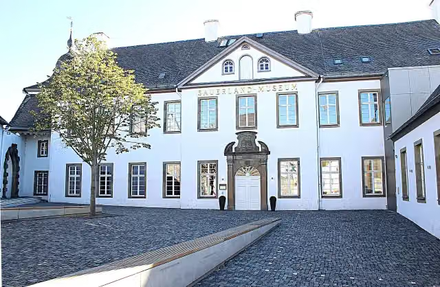
i
Photo: Sauerland-Museum · Wikimedia Commons · CC BY-SA 4.0View the photo on Wikimedia CommonsMuseum · after 59.2 km
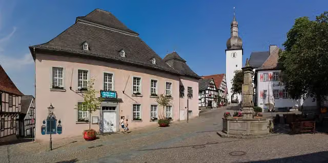
i
Photo: Jörg Braukmann · Wikimedia Commons · CC BY-SA 4.0View the photo on Wikimedia CommonsMemorial · after 59.3 km
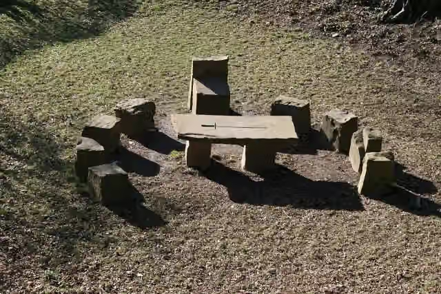
i
Photo: ABF · Wikimedia Commons · CC BY-SA 3.0View the photo on Wikimedia CommonsMemorial · after 59.6 km
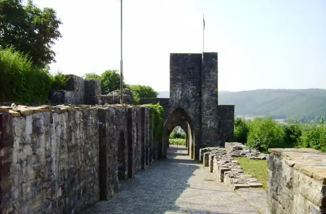
i
Photo: Machahn 11:56, 27 July 2006 (UTC) · Wikimedia Commons · CC BY-SA 3.0View the photo on Wikimedia CommonsCastle · after 59.8 km
i
Photo: Jörg Braukmann · Wikimedia Commons · CC BY-SA 4.0View the photo on Wikimedia CommonsObservation tower · after 73 km
Stages (3)
Elevation and terrain
- Up
- ↑ 4,882 m
- Down
- ↓ 4,738 m
- Highest point
- 588 m
- Lowest point
- 192 m
- 5-10% slope · 59.7 km
- 10-15% slope · 9.5 km
- 15-20% slope · 1.3 km
- 15 stairs
Elevation from Copernicus GLO-30 (European Union and ESA), smoothed.
produced using Copernicus WorldDEM-30 © DLR e.V. 2010-2014 and © Airbus Defence and Space GmbH 2014-2018 provided under COPERNICUS by the European Union and ESA; all rights reserved
Way types
244.5 km in total- Track: 160.8 km
- Path: 54.6 km
- Street: 17.2 km
- Road: 6.1 km
- Busy road: 2.6 km
- Footpath: 1.4 km
- Stairs: 15 stairs
- Cycleway: 75 m
Surfaces
244.5 km in total- Gravel: 85.6 km
- Unpaved: 43.6 km
- Asphalt: 33.9 km
- Natural: 6.1 km
- Paved: 4.1 km
- Unknown: 70 km
About the walking route Sauerland-Waldroute
Updated on 13 November 2026, with data from OpenStreetMap, the AHN and Copernicus.
Where do you walk?
Sauerland-Waldroute is a walking route of 244.5 km that starts in Iserlohn. It does not end where it starts. You start in Iserlohn and finish in Marsberg. Along the way you pass Ballots Brunnen (after 1 km), Danzturm (after 1.6 km) and Ehmsendenkmal (after 58.5 km).
How hard is the route?
You climb 4,882 m in total and descend 4,738 m. There are 15 flights of steps along the way. Allow ± 20:50 h per stage, without breaks. Per stage the level is hard.
What paths do you walk on?
The longest part is track (160.8 km), path (54.6 km) and street (17.2 km). Of the surface, 85.6 km gravel and 43.6 km unpaved. For 70 km the surface is not known.
Pitstops along the way
Within 100 metres of the route there are 654 benches, 3 water fountains and refill points, 18 public toilets and 4 bike pumps. You can fill your bottle after 46.7 km, after 59 km and after 223.7 km. The longest stretch without a toilet is 46.7 km. The Outdoor Pitstop app navigates you there.
Walks nearby
6- X5 SiegerlandwegHard · From A to B118 km
- DrahthandelswegHard · From A to B30.6 km
- X4 HöhlenwegHard · From A to B76.6 km
- Ruhrhöhenweg (Hattingen - Menden)Hard · From A to B70.5 km
- Sauerland-Höhenflug (Teilstück Altena - Neuenrade - Altenaffeln )Hard · From A to B51.6 km
- X17 Harkortweg [Velbert-Werdohl]Hard · From A to B109.1 km
Sights nearby
Within 10 km of the route, best known first.
- 1
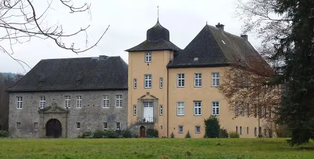 Haus AmeckeCastle · 1.1 km from the route
- 2
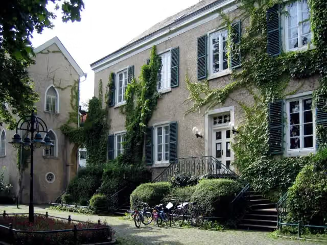 Haus LetmatheMuseum · 5.4 km from the route
- 3
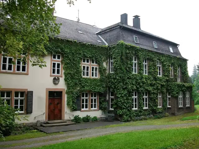 Schloss PadbergCastle · 145 m from the route
- 4
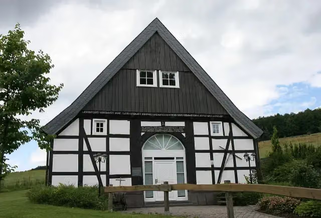 Heimatmuseum „Alte Mühle“Museum · 149 m from the route
- 5
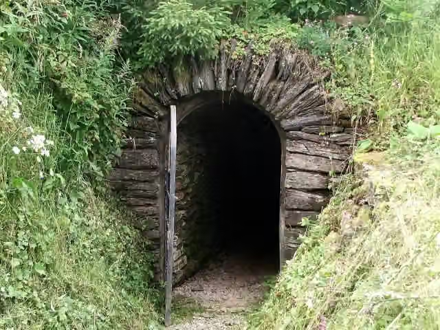 Phillipsstollen - Briloner EisenbergMuseum · 188 m from the route
- 6
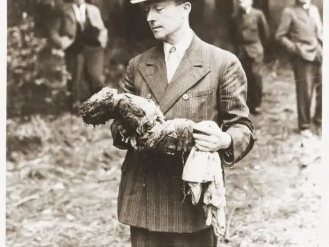 GedenksteinMemorial · 279 m from the route
- 7
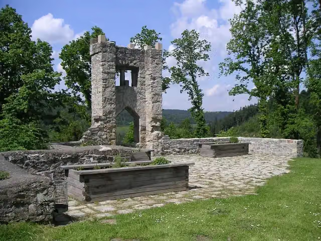 Burgruine RingelsteinCastle · 303 m from the route
- 8
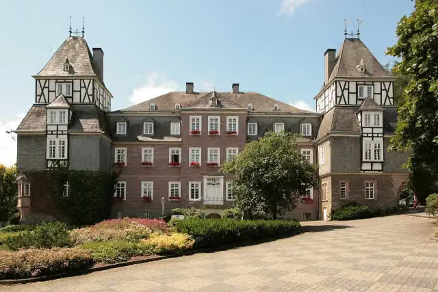 Schloss GevelinghausenCastle · 311 m from the route
- 9
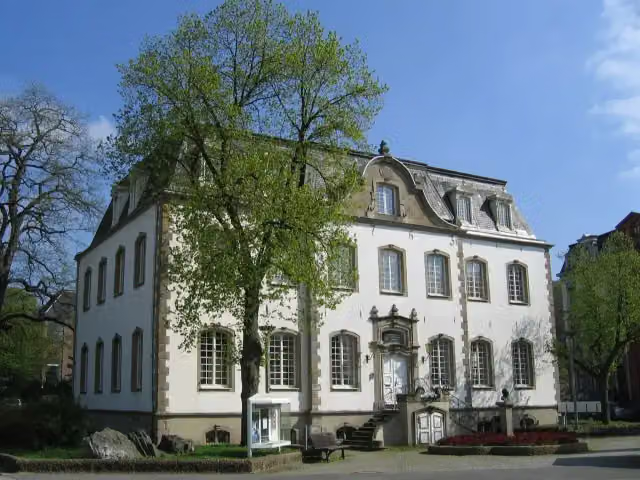 StadtmuseumMuseum · 335 m from the route
- 10
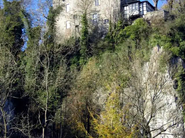 Burg KlusensteinCastle · 359 m from the route
- 11
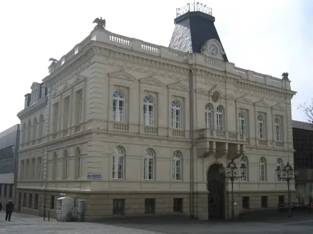 Altes RathausAttraction · 368 m from the route
- 12
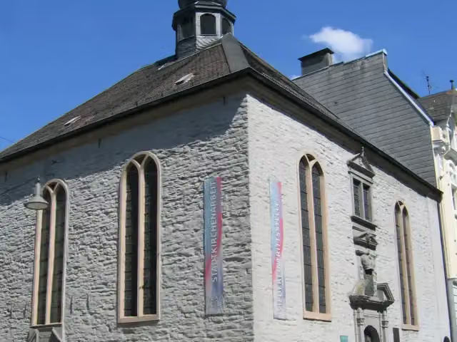 Reformierte Kirche - versöhnungMuseum · 487 m from the route
- 13
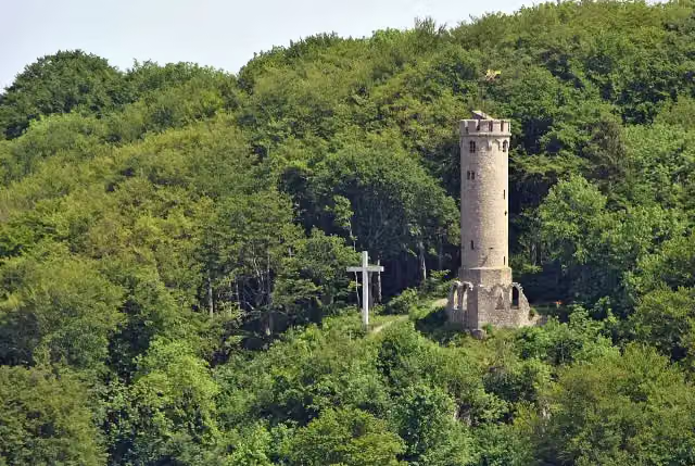 BilsteinturmObservation tower · 500 m from the route
- 14
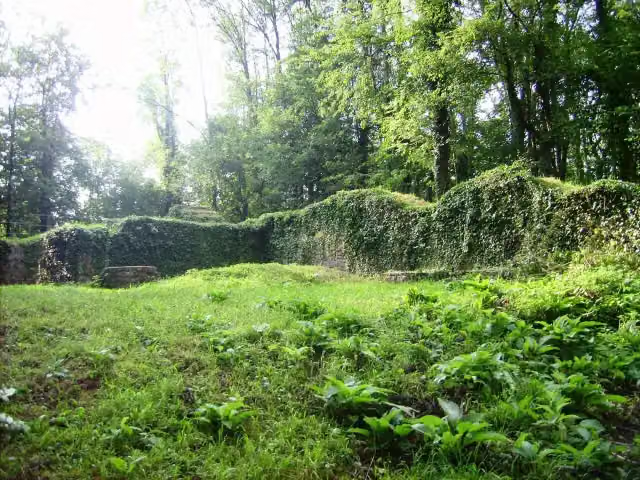 RüdenburgArchaeological site · 623 m from the route
- 15
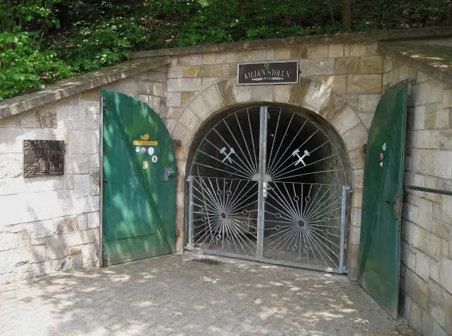 Besucherbergwerk KilianstollenAttraction · 644 m from the route
- 16
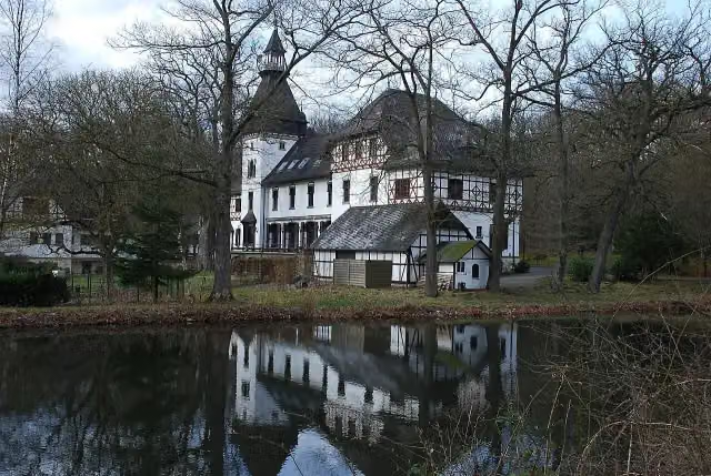 Jagdschloss Sankt MeinolfCastle · 731 m from the route
- 17
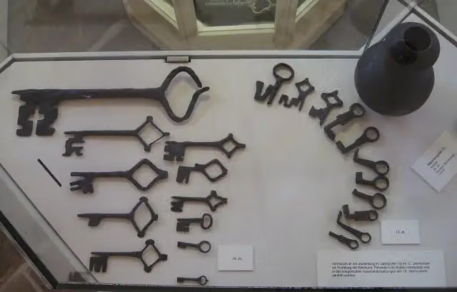 StünenburgCastle · 777 m from the route
- 18
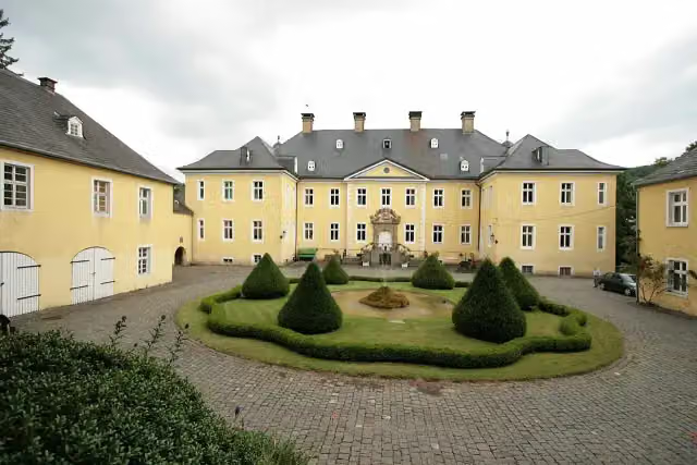 Schloss AntfeldCastle · 964 m from the route
- 19
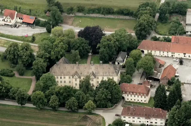 Schloss WocklumCastle · 1.1 km from the route
- 20
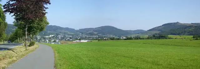 Wallanlage BorbergArchaeological site · 1.2 km from the route
- 21
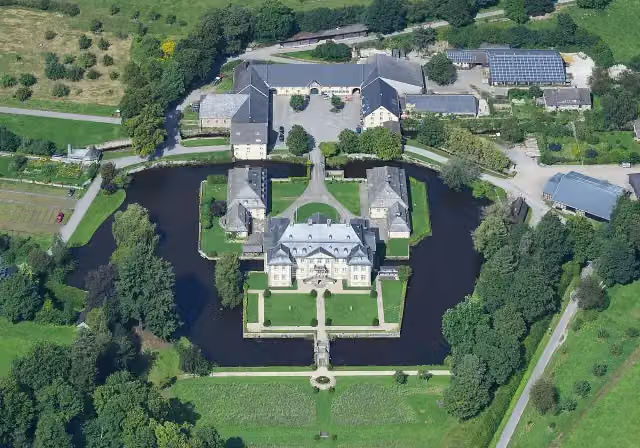 Schloß KörtlinghausenCastle · 1.4 km from the route
- 22
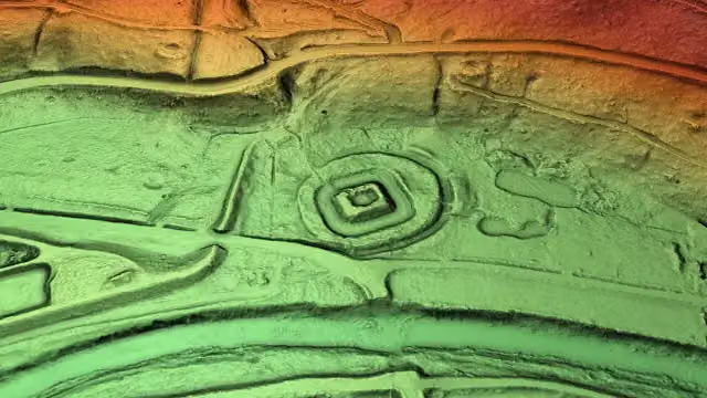 Burg WildshausenArchaeological site · 1.4 km from the route
- 23
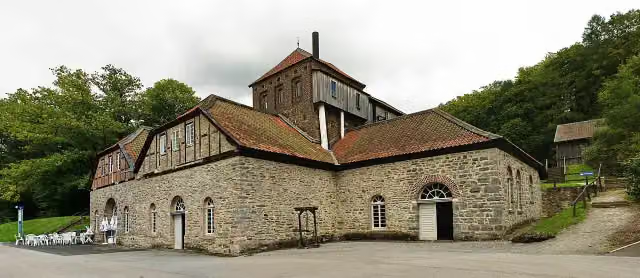 LuisenhütteMuseum · 1.5 km from the route
- 24
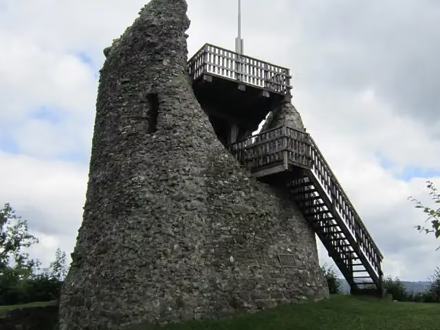 Burg EversbergAttraction · 1.6 km from the route
- 25
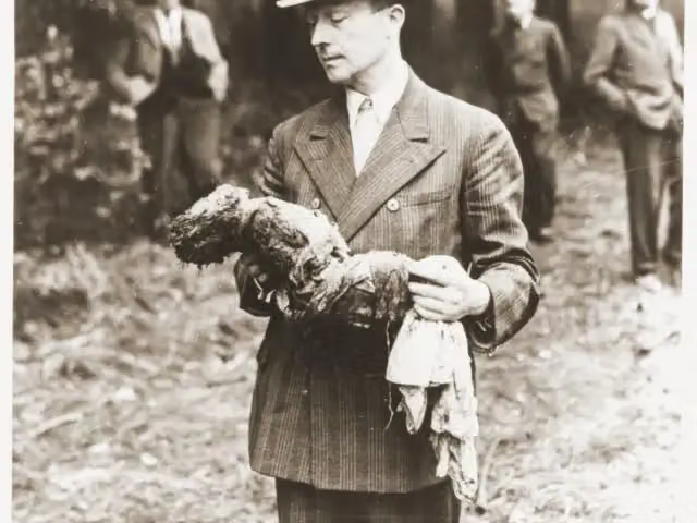 Massaker im Arnsberger WaldMemorial · 1.6 km from the route
Explore more
Frequently asked questions
How long is Sauerland-Waldroute?
Sauerland-Waldroute is 244.5 km long, in 3 parts of 81.5 km on average. Allow ± 20:50 h per part of walking: 4.5 km an hour and 10 minutes more per 100 metres of climbing, without breaks.
Is this route a circular walk?
No, the route runs from Iserlohn to Marsberg.
Where does this route start?
The route starts in Iserlohn.
How hard is this route?
Hard per stage, with 1,627 m per stage of climbing.
Are there toilets along this route?
Yes, there are 18 public toilets within 100 m of the route. The longest stretch without a toilet is 46.7 km.
Can you fill up with water along this route?
Yes, there are 3 water fountains and refill points within 100 m of the route.
What is there to see along this route?
Along the way you pass Ballots Brunnen, Danzturm and Ehmsendenkmal.
Can I download this route as a GPX file?
Yes. Sign in with your Outdoor Pitstop account and choose Download GPX at the top of this page: 10 routes a month for free, unlimited with Pro.
Starting point
More routes from this place
Route data © OpenStreetMap contributors





