 Outdoor Pitstop
Walking route · Saalfeld/Saale · Updated on 14 November 2026
Hangweg walk
Hangweg is a walk of 4.5 km from Saalfeld/Saale that starts and ends at the same spot. Along the way you'll find 5 benches and 1 public toilet.

i
The route step by step
From start to finish, with what you pass along the way and the distance in between.
- 4.5 km
- ± 1:15 h
- ↑ 130 m · ↓ 97 m
- Easy
- Circular walk
- Regional route
This route is in pieces in OpenStreetMap, so there are no kilometres per pitstop. Along the way you'll find 5 benches and 1 public toilet.
Follow these steps in the appThe route with the pitstops and sights within 100 m of it.
1 sight along the way
In the order you pass them. With the Outdoor Pitstop app you hear their story on the spot.
Feengrotten
Attraction
Elevation and terrain
- Up
- ↑ 130 m
- Down
- ↓ 97 m
- Highest point
- 495 m
- Lowest point
- 360 m
- 5-10% slope · 1.9 km
- 10-15% slope · 305 m
- 15-20% slope · 203 m
Elevation from Copernicus GLO-30 (European Union and ESA), smoothed.
produced using Copernicus WorldDEM-30 © DLR e.V. 2010-2014 and © Airbus Defence and Space GmbH 2014-2018 provided under COPERNICUS by the European Union and ESA; all rights reserved
Way types
4.5 km in total- Track: 3.4 km
- Path: 1.1 km
Surfaces
4.5 km in total- Gravel: 593 m
- Unpaved: 100 m
- Unknown: 3.8 km
About the walking route Hangweg
Updated on 14 November 2026, with data from OpenStreetMap, the AHN and Copernicus.
Where do you walk?
Hangweg is a circular walk of 4.5 km from Saalfeld/Saale: it starts and ends in the same place.
How hard is the route?
You climb 130 m in total and descend 97 m. Allow ± 1:15 h, without breaks. The level is easy.
What paths do you walk on?
The longest part is track (3.4 km) and path (1.1 km). Of the surface, 593 m gravel and 100 m unpaved. For 3.8 km the surface is not known.
Pitstops along the way
Within 100 metres of the route there are 5 benches and 1 public toilet. The Outdoor Pitstop app navigates you there.
Walks nearby
6- WalderlebnispfadEasy · Circular walk3.2 km
- GipfelwegEasy · Circular walk5.1 km
- OlitätenrundwanderwegHard · Circular walk154.4 km
- Lutherweg Thüringen - SüdschlaufeHard · Circular walk384.2 km
- Feengrotten-Kyffhäuser-WegHard · From A to B248.5 km
- Grüner Strich (Saalfeld Richtung Arnsgereuth)Easy · From A to B5.4 km
Sights nearby
Within 10 km of the route, best known first.
- 1
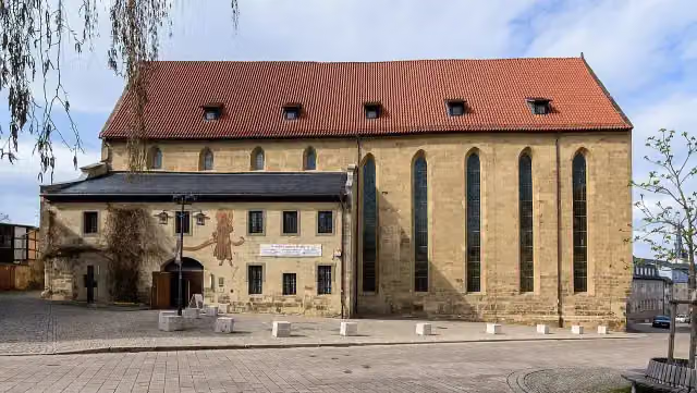 Stadtmuseum Saalfeld im FranziskanerklosterMuseum · 1.7 km from the route
- 2
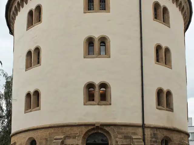 HutschachtelMemorial · 2 km from the route
- 3
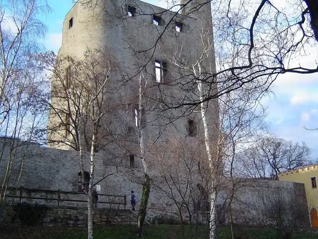 Hoher SchwarmAttraction · 2.2 km from the route
- 4
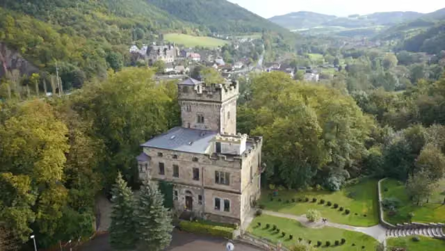 Schloss WetzelsteinCastle · 2.3 km from the route
- 5
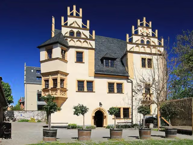 Schlösschen KitzersteinCastle · 2.3 km from the route
- 6
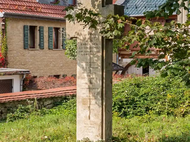 MemorialMemorial · 2.3 km from the route
- 7
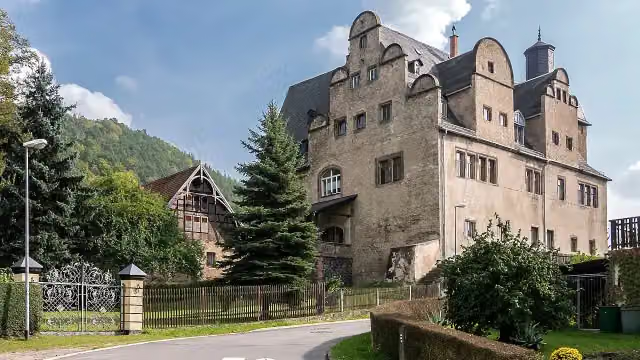 Burg ObernitzCastle · 2.4 km from the route
- 8
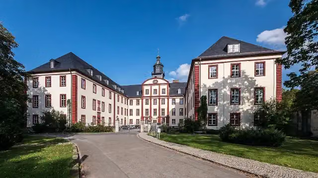 Schloss SaalfeldCastle · 2.4 km from the route
- 9
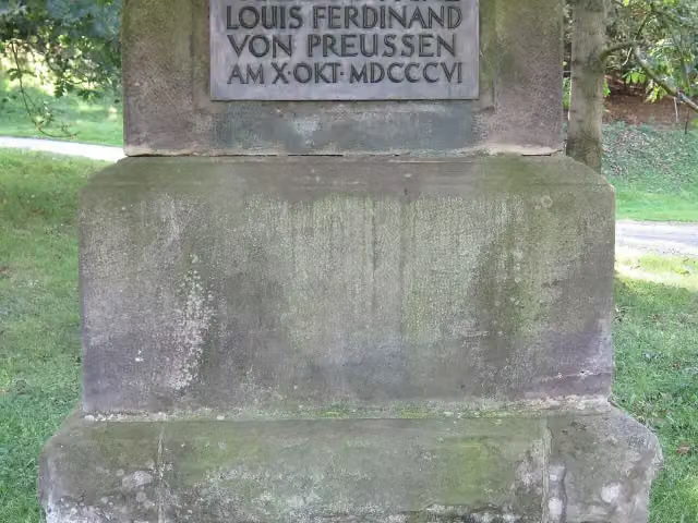 Louis Ferdinand von PreußenMemorial · 3.5 km from the route
- 10
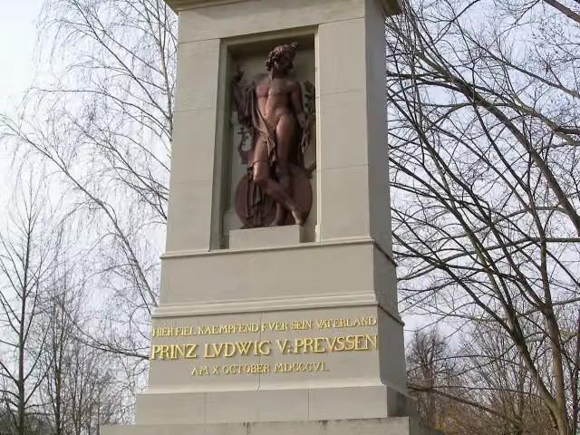 Louis Ferdinand von PreußenMemorial · 3.7 km from the route
- 11
 MemorialMemorial · 4.2 km from the route
- 12
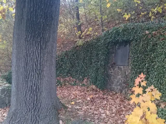 MemorialMemorial · 4.9 km from the route
- 13
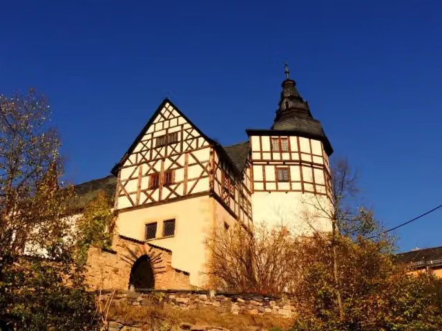 Burg KaulsdorfCastle · 5.5 km from the route
- 14
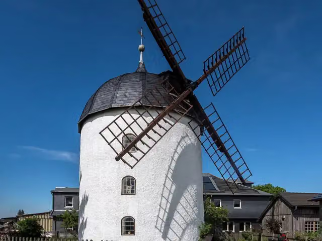 Turmwindmühle DittrichshütteAttraction · 5.8 km from the route
- 15
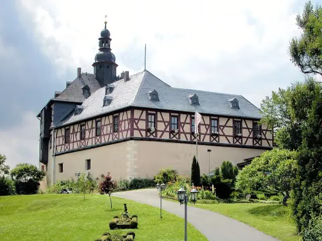 Schloß EichichtCastle · 6.3 km from the route
- 16
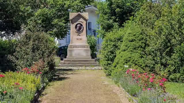 Denkmal Friedrich FröbelMemorial · 7.2 km from the route
- 17
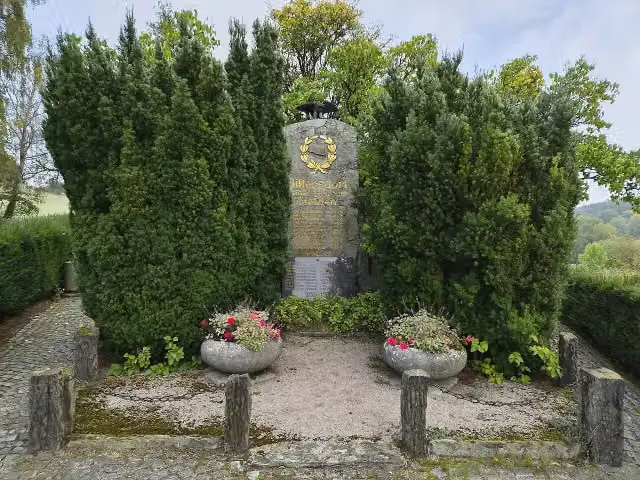 MemorialMemorial · 7.3 km from the route
- 18
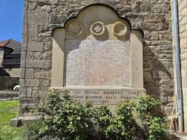 MemorialMemorial · 7.8 km from the route
- 19
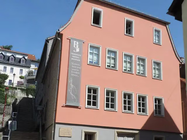 Friedrich-Fröbel-MuseumMuseum · 7.9 km from the route
- 20
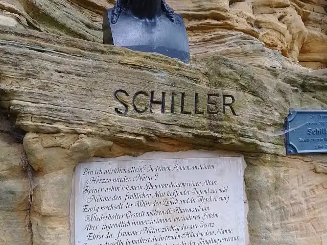 SchillershöheMemorial · 8.2 km from the route
- 21
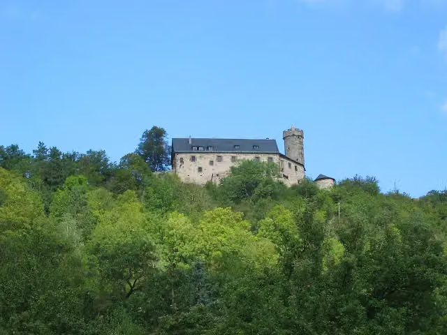 Burg GreifensteinAttraction · 8.4 km from the route
- 22
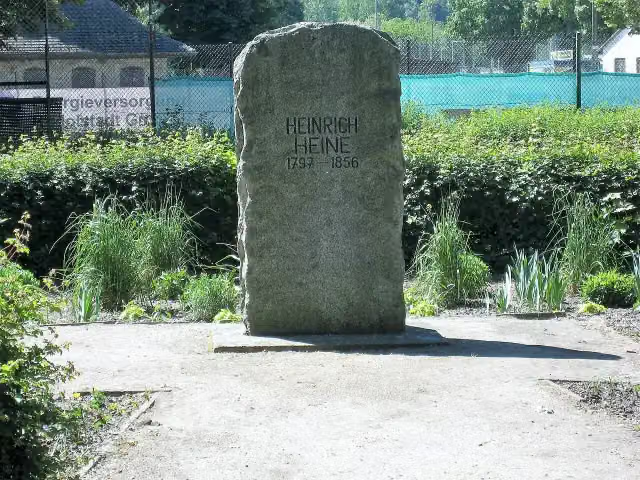 Heinrich HeineMemorial · 9.2 km from the route
- 23
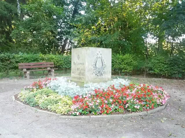 Max EberweinMemorial · 9.2 km from the route
- 24
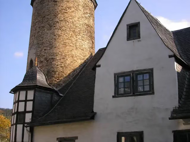 Schloss FriedensburgCastle · 9.6 km from the route
- 25
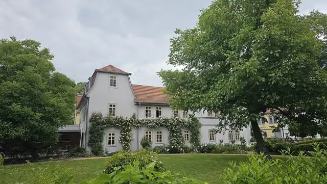 SchillerhausMuseum · 9.7 km from the route
Explore more
More walks around Saalfeld/Saale
More nearby
Frequently asked questions
How long is Hangweg?
Hangweg is 4.5 km long. Allow ± 1:15 h of walking: 4.5 km an hour and 10 minutes more per 100 metres of climbing, without breaks.
Is this route a circular walk?
Yes, the route starts and ends at the same spot.
Where does this route start?
The route starts in Saalfeld/Saale.
How hard is this route?
Easy, with 130 m of climbing.
Are there toilets along this route?
Yes, there are 1 public toilet within 100 m of the route.
Can you fill up with water along this route?
No, there is no water point within 100 m of the route. Bring enough water.
What is there to see along this route?
Along the way you pass Feengrotten.
Can I download this route as a GPX file?
Yes. Sign in with your Outdoor Pitstop account and choose Download GPX at the top of this page: 10 routes a month for free, unlimited with Pro.
Starting point
More routes from this place
Route data © OpenStreetMap contributors





