 Outdoor Pitstop
Walking route · Thayngen · Updated on 14 November 2026
Hugenotten- und Waldenserpfad (Hauptweg - Teilstrecke Barzheim-Rottweil) walk
Hugenotten- und Waldenserpfad (Hauptweg - Teilstrecke Barzheim-Rottweil) is a walk of 133.8 km from Thayngen. Along the way you'll find 300 benches, 4 water fountains and refill points, 9 public toilets, 1 bike pump and 1 honesty box.
i
i
The route step by step
From start to finish, with what you pass along the way and the distance in between.
- 133.8 km
- ± 4:55 h per stage
- Hard per stage
- From A to B
- National route
Pick a stage to see the pitstops per kilometre. Along the way you'll find 300 benches, 4 water fountains and refill points, 9 public toilets, 1 bike pump and 1 honesty box.
Follow these steps in the appThe route with the water points, toilets and sights within 100 m of it.
3 sights along the way
In the order you pass them. With the Outdoor Pitstop app you hear their story on the spot.
i
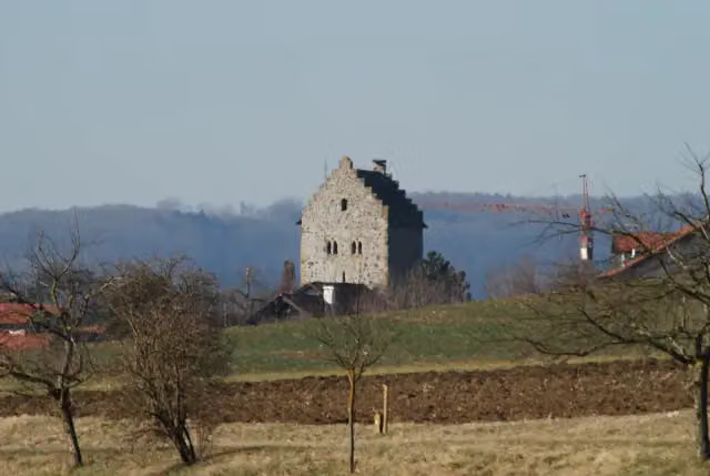
Photo: Hubenschmid · Wikimedia Commons · CC BY 3.0View the photo on Wikimedia CommonsCastle
i
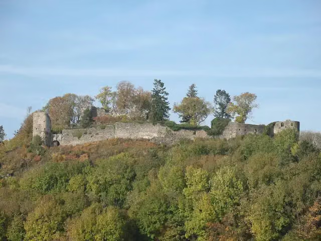
Photo: Kauk0r · Wikimedia Commons · CC BY 3.0View the photo on Wikimedia CommonsCastle

Archaeological site
Stages (6)
- 1Hugenotten- und Waldenserpfad, Etappe Barzheim - Weiterdingen24.1 km
- 2Hugenotten- und Waldenserpfad, Etappe Weiterdingen - Riedöschingen23.1 km
- 3Hugenotten- und Waldenserpfad, Etappe Riedöschingen - Hondingen19.1 km
- 4Hugenotten- und Waldenserpfad, Etappe Hondingen - Öfingen24.9 km
- 5Hugenotten- und Waldenserpfad, Etappe Öfingen - Schwenningen17.3 km
- 6Hugenotten- und Waldenserpfad, Etappe Schwenningen - Rottweil22.5 km
Elevation and terrain
Way types
133.8 km in total- Track: 62.4 km
- Path: 23.3 km
- Street: 13 km
- Road: 8.3 km
- Footpath: 3.2 km
- Busy road: 1.2 km
- Stairs: 4 stairs
- Cycleway: 25 m
Surfaces
133.8 km in total- Asphalt: 38.3 km
- Gravel: 25.4 km
- Unpaved: 14.5 km
- Natural: 8.5 km
- Paved: 2 km
- Unknown: 22.8 km
About the walking route Hugenotten- und Waldenserpfad (Hauptweg - Teilstrecke Barzheim-Rottweil)
Updated on 14 November 2026, with data from OpenStreetMap, the AHN and Copernicus.
Where do you walk?
Hugenotten- und Waldenserpfad (Hauptweg - Teilstrecke Barzheim-Rottweil) is a walking route of 133.8 km that starts in Thayngen. It does not end where it starts.
How hard is the route?
There are 4 flights of steps along the way. Allow ± 4:55 h per stage, without breaks. Per stage the level is hard.
What paths do you walk on?
The longest part is track (62.4 km), path (23.3 km) and street (13 km). Of the surface, 38.3 km asphalt and 25.4 km gravel. For 22.8 km the surface is not known.
Pitstops along the way
Within 100 metres of the route there are 300 benches, 4 water fountains and refill points, 9 public toilets, 1 bike pump and 1 honesty box. The Outdoor Pitstop app navigates you there.
Part of Hugenotten- und Waldenserpfad (Hauptweg)
Website of the routeWalks nearby
3Sights nearby
Within 10 km of the route, best known first.
- 1
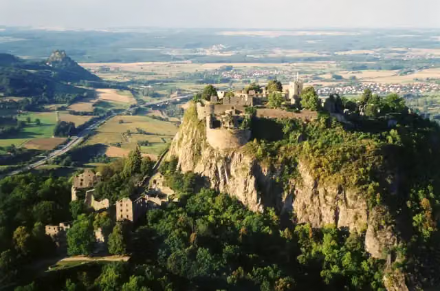 HohentwielViewpoint · 432 m from the route
- 2
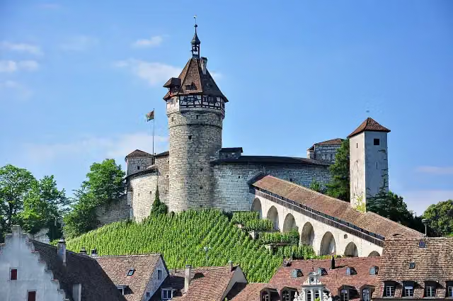 MunotAttraction · 9.7 km from the route
- 3
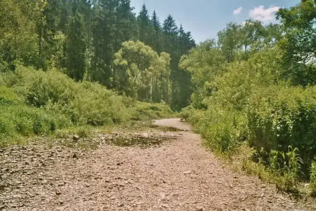 DonauversinkungAttraction · 7.9 km from the route
- 4
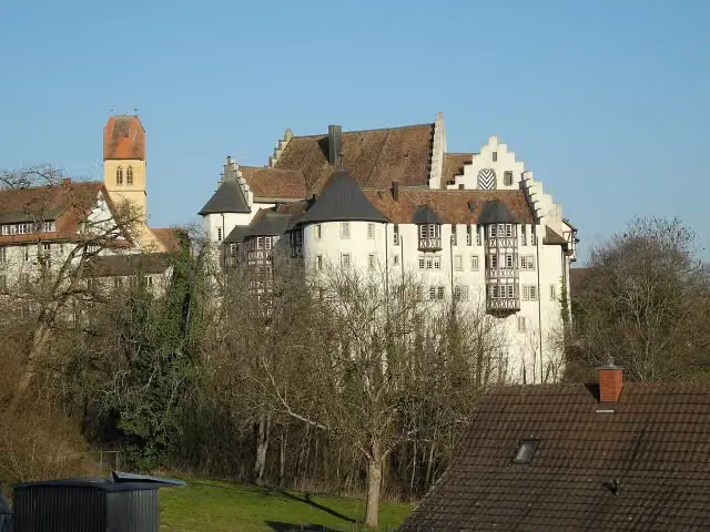 Schloss BlumenfeldCastle · 2.8 km from the route
- 5
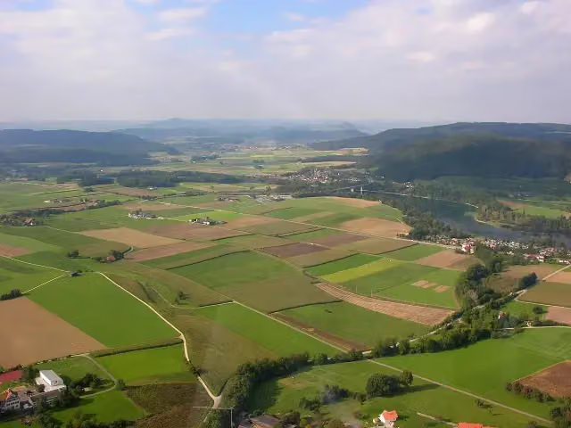 Ruine WolkensteinCastle · 9.8 km from the route
- 6
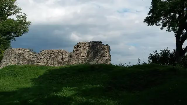 Burg HohenhewenCastle · 113 m from the route
- 7
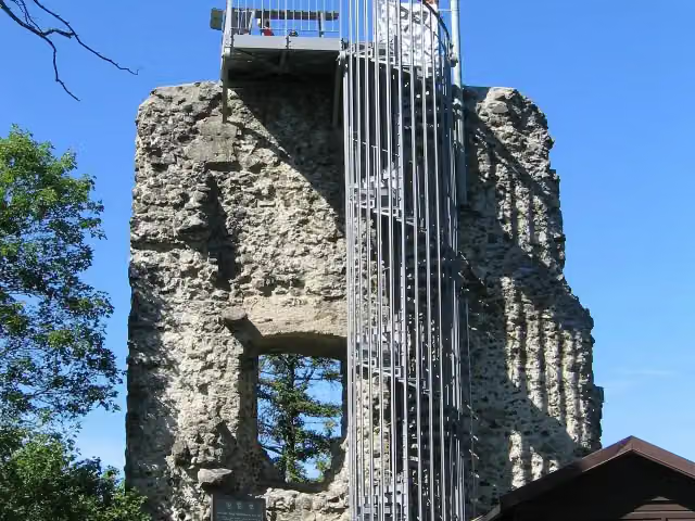 Aussichtsturm HohenhewenObservation tower · 113 m from the route
- 8
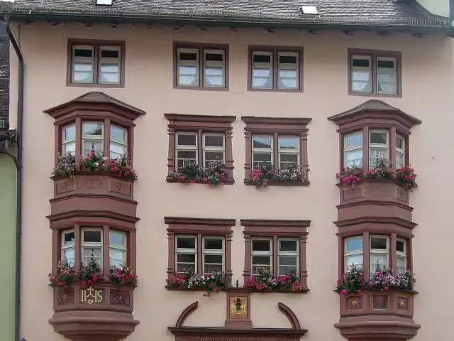 Stadtmuseum RottweilMuseum · 124 m from the route
- 9
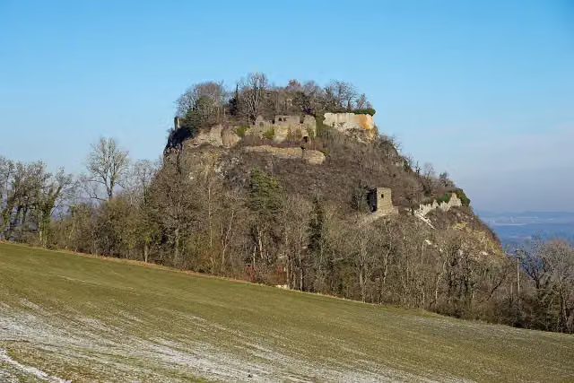 HohenkrähenCastle · 161 m from the route
- 10
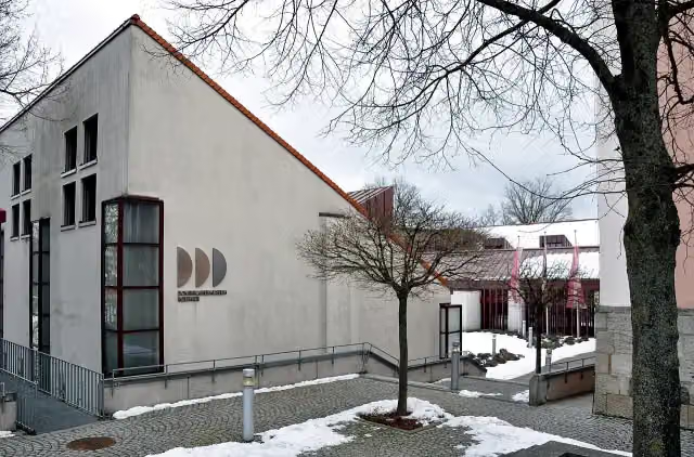 DominikanermuseumMuseum · 173 m from the route
- 11
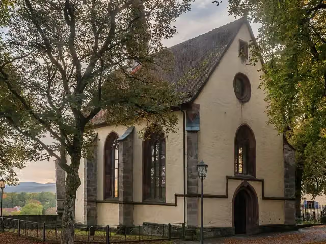 LorenzkapelleMuseum · 180 m from the route
- 12
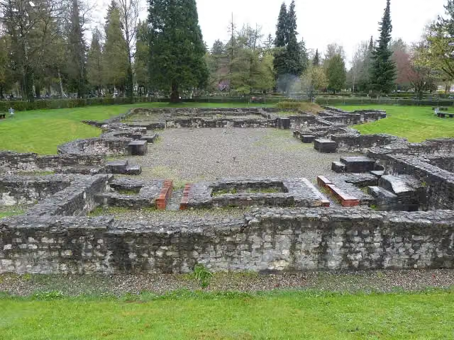 Freilichtmuseum RömerbadArchaeological site · 275 m from the route
- 13
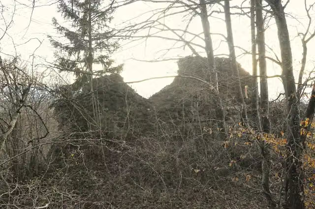 Burgruine StaufenCastle · 324 m from the route
- 14
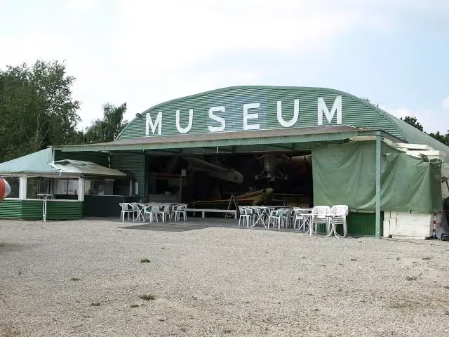 Internationales LuftfahrtmuseumMuseum · 336 m from the route
- 15
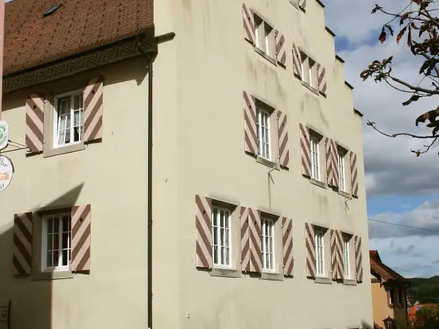 Katholisches PfarramtCastle · 340 m from the route
- 16
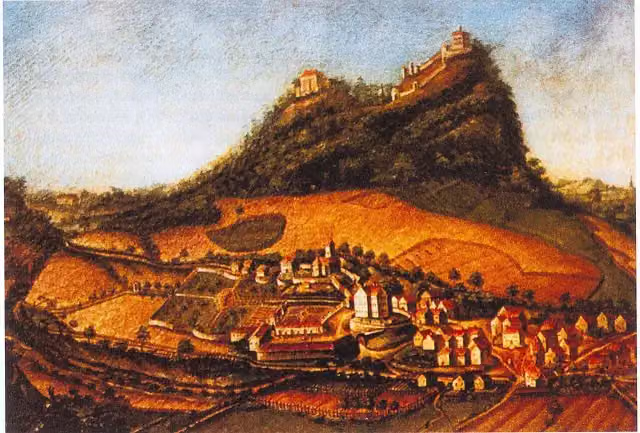 Ruine Burg VorderstoffelnCastle · 349 m from the route
- 17
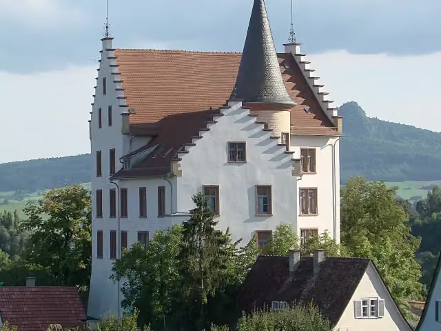 Krenkinger SchloßCastle · 353 m from the route
- 18
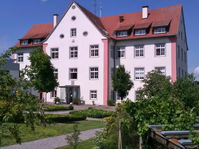 Schloß WeiterdingenCastle · 358 m from the route
- 19
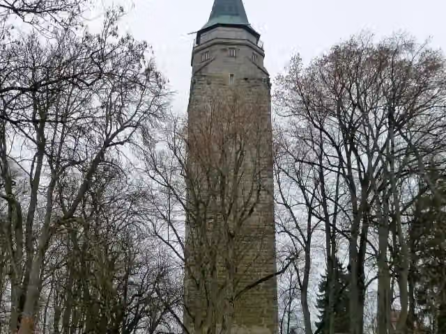 HochturmViewpoint · 417 m from the route
- 20
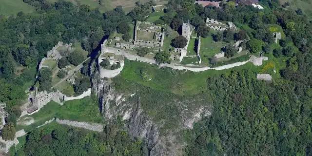 HohentwielRuins · 439 m from the route
- 21
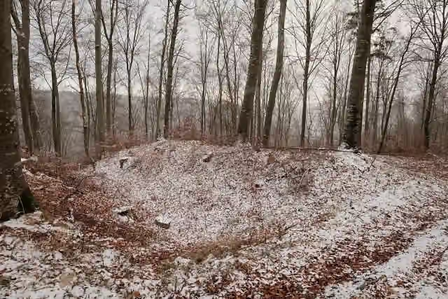 Burgstall EhrenburgArchaeological site · 885 m from the route
- 22
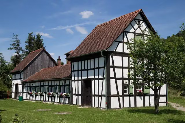 Salinenmuseum Unteres BohrhausMuseum · 922 m from the route
- 23
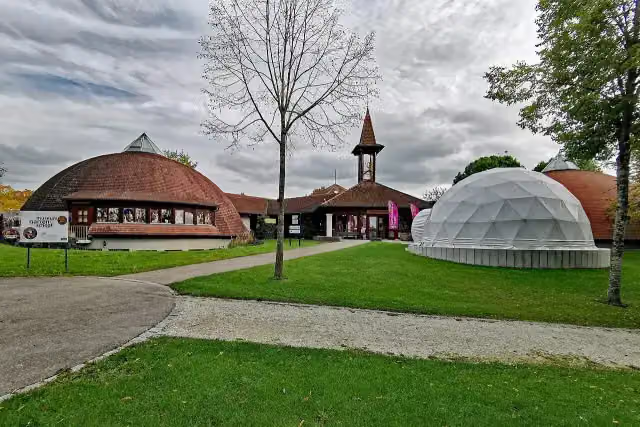 Fastnachtsmuseum NarrenschopfMuseum · 1.1 km from the route
- 24
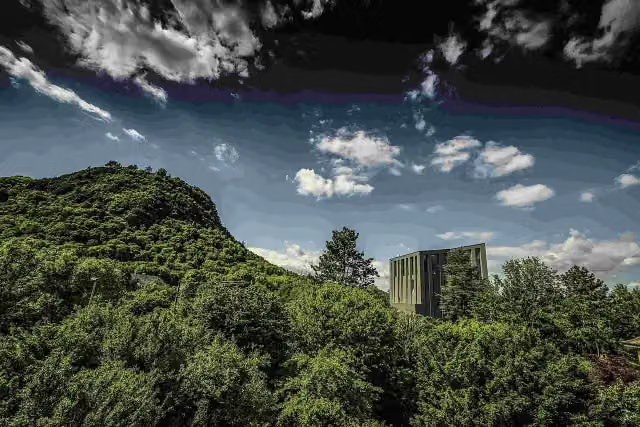 MAC Museum Art & CarsMuseum · 1.2 km from the route
- 25
 TK Elevator TestturmViewpoint · 1.3 km from the route
Explore more
Frequently asked questions
How long is Hugenotten- und Waldenserpfad (Hauptweg - Teilstrecke Barzheim-Rottweil)?
Hugenotten- und Waldenserpfad (Hauptweg - Teilstrecke Barzheim-Rottweil) is 133.8 km long, in 6 stages of 22.3 km on average. Allow ± 4:55 h per stage of walking: 4.5 km an hour and 10 minutes more per 100 metres of climbing, without breaks.
How many stages does this route have?
The route is split into 6 stages of 21.8 km on average, 131 km in all. The shortest stage is 17.3 km, the longest 24.9 km.
Is this route a circular walk?
No, the route starts and ends at different spots.
Where does this route start?
The route starts in Thayngen.
How hard is this route?
Hard per stage.
Are there toilets along this route?
Yes, there are 9 public toilets within 100 m of the route.
Can you fill up with water along this route?
Yes, there are 4 water fountains and refill points within 100 m of the route.
What is there to see along this route?
Along the way you pass Burgstall Riedheim, Mägdeberg and Abschnittsbefestigung Hörnekapf.
Which stage of this route has the most points of interest?
Stage 1 (24.1 km), with 2 points of interest along the route, such as Burgstall Riedheim and Mägdeberg.
Can I download this route as a GPX file?
Yes. Sign in with your Outdoor Pitstop account and choose Download GPX at the top of this page: 10 routes a month for free, unlimited with Pro.
Starting point
More routes from this place
Route data © OpenStreetMap contributors





