 Outdoor Pitstop
Walking route · Meinerzhagen · Updated on 14 November 2026
Wupperweg walk
Wupperweg is a walk of 126.2 km from Meinerzhagen. Along the way you'll find 409 benches, 5 public toilets and 2 bike pumps.
i
i
i
The route step by step
From start to finish, with what you pass along the way and the distance in between.
- 126.2 km
- ± 30:15 h
- ↑ 1,312 m · ↓ 1,688 m
- Hard
- From A to B
- Regional route
Start in Meinerzhagen
0 km22.2 km · 72 benches
Public toilet
22.2 km5.9 km · 23 benches
Bike pump
28.1 km867 m · 3 benches

Wachturm DLRG
29 kmPublic toilet
3.2 km · 14 benches
Bike pump
32.2 km17.3 km · 50 benches
Wülfingmuseum
49.5 kmMuseum
16.6 km · 42 benches
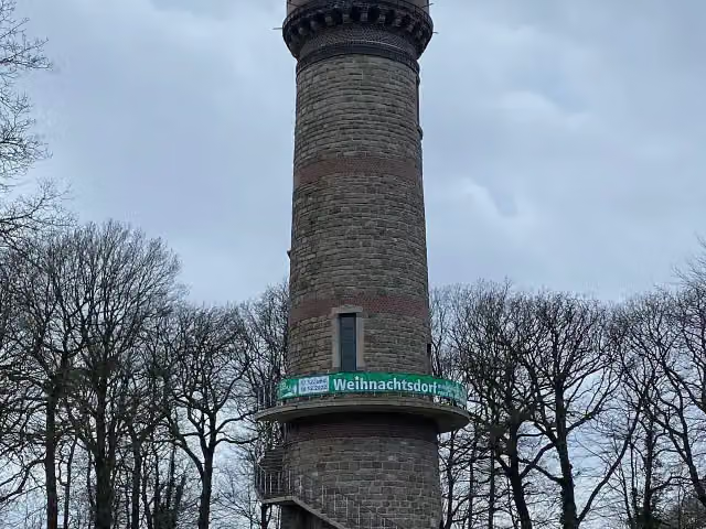
Toelleturm
66.1 kmPublic toilet
15 km · 46 benches
Massaker
81.1 kmMemorial
231 m
Gedenktafel zu Massaker
81.3 kmMemorial
1.2 km
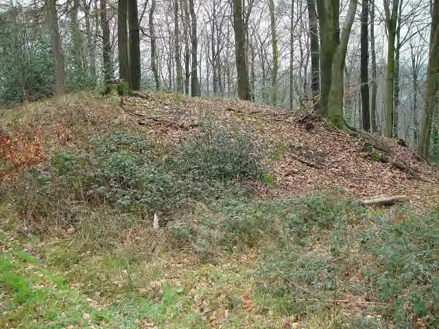
Ringwallanlage Burggraben
82.5 kmArchaeological site
10.6 km · 15 benches
Public toilet
93.1 km282 m · 14 benches
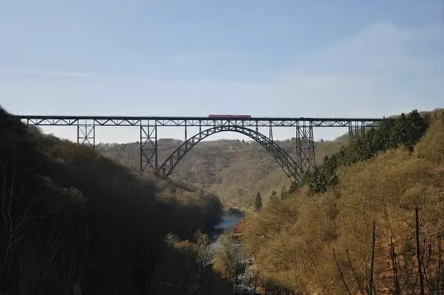
Müngstener Brücke and 3 more
93.3 kmMüngstener Brückensteig, Müngstener Brückensteig and Müngstener Brückensteig
3.4 km · 23 benches
Unterburg turntable
96.8 kmAttraction
4 km · 18 benches
Balkhauser Kotten
100.8 kmMuseum
8.3 km · 25 benches
Wipperkotten – Außenkotten
109 kmMuseum
4.4 km · 2 benches
Schloss Eicherhof
113.5 kmCastle
932 m · 15 benches
Public toilet
114.4 km10.3 km · 45 benches
Dhünnmündung
124.7 kmAttraction
1.6 km · 2 benches
Finish
126.2 km
Longest stretch without a toilet: 37.1 kmBetween 29.1 km and 66.1 km there is no public toilet within 100 m of the route.
The route with the pitstops and sights within 100 m of it.
15 sights along the way
In the order you pass them. With the Outdoor Pitstop app you hear their story on the spot. 7 more along the route are on the map.

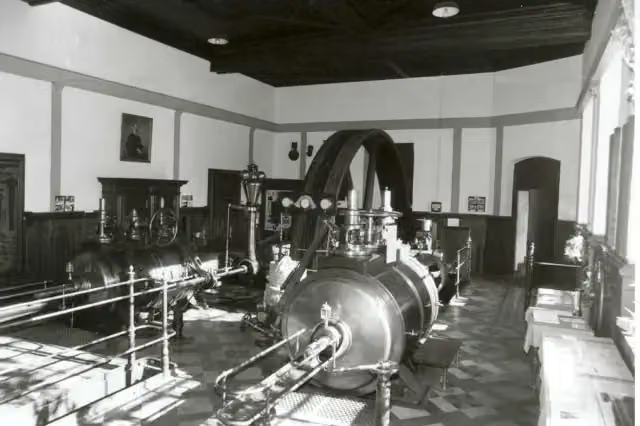
Observation tower · after 29 km
i
Photo: The original uploader was Markus Schweiß at German Wikipedia. · Wikimedia Commons · CC BY-SA 3.0View the photo on Wikimedia CommonsMuseum · after 49.5 km
i
Photo: -wuppertaler · Wikimedia Commons · CC BY 4.0View the photo on Wikimedia CommonsObservation tower · after 66.2 km
Memorial · after 81.1 km
Memorial · after 81.3 km
i
Photo: The original uploader was Morty at German Wikipedia. (Original text: de:Benutzer:Morty) · Wikimedia Commons · CC BY-SA 2.0 deView the photo on Wikimedia CommonsArchaeological site · after 82.5 km
i
Photo: InterCityImpress · Wikimedia Commons · CC BY-SA 2.0View the photo on Wikimedia CommonsAttraction · after 93.3 km
Attraction · after 93.3 km
Elevation and terrain
- Up
- ↑ 1,312 m
- Down
- ↓ 1,688 m
- Highest point
- 430 m
- Lowest point
- 36 m
- 5-10% slope · 12.1 km
- 10-15% slope · 634 m
- 7 stairs
Elevation from Copernicus GLO-30 (European Union and ESA), smoothed.
produced using Copernicus WorldDEM-30 © DLR e.V. 2010-2014 and © Airbus Defence and Space GmbH 2014-2018 provided under COPERNICUS by the European Union and ESA; all rights reserved
Way types
126.2 km in total- Track: 55 km
- Street: 33.9 km
- Path: 17.8 km
- Road: 9.5 km
- Busy road: 3.2 km
- Footpath: 2.9 km
- Cycleway: 2.8 km
- Stairs: 7 stairs
- Unknown: 200 m
Surfaces
126.2 km in total- Asphalt: 41.9 km
- Gravel: 29.9 km
- Unpaved: 15.5 km
- Paved: 5.2 km
- Natural: 975 m
- Unknown: 32.1 km
About the walking route Wupperweg
Updated on 14 November 2026, with data from OpenStreetMap, the AHN and Copernicus.
Where do you walk?
Wupperweg is a walking route of 126.2 km that starts in Meinerzhagen. It does not end where it starts. Along the way you pass Wachturm DLRG (after 29 km), Wülfingmuseum (after 49.5 km) and Toelleturm (after 66.2 km).
How hard is the route?
You climb 1,312 m in total and descend 1,688 m. There are 7 flights of steps along the way. Allow ± 30:15 h, without breaks. The level is hard.
What paths do you walk on?
The longest part is track (55 km), street (33.9 km) and path (17.8 km). Of the surface, 41.9 km asphalt and 29.9 km gravel. For 32.1 km the surface is not known.
Pitstops along the way
Within 100 metres of the route there are 409 benches, 5 public toilets and 2 bike pumps. The longest stretch without a toilet is 37.1 km. The Outdoor Pitstop app navigates you there.
Walks nearby
6- Straße der Arbeit [Marienheide]Hard · From A to B17 km
- Jakobs-Pilgerweg Paderborn-KölnHard · From A to B241.3 km
- Jakobs-Pilgerweg Heidenstraße (Teilstück Attendorn- Meinerzhagen - Marienheide - Lindlar)Hard · From A to B52.5 km
- Bergischer Panoramasteig (Etappe 7)Hard · From A to B24.8 km
- X3 TalsperrenwegHard · From A to B166.4 km
- X11 Lenne-Sieg-Weg (Plettenberg-Wiehl)Hard · From A to B57 km
Sights nearby
Within 10 km of the route, best known first.
- 1
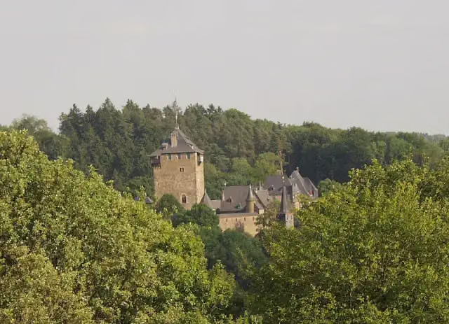 Burg CastleCastle · 329 m from the route
- 2
 Bayer-KreuzAttraction · 3.6 km from the route
- 3
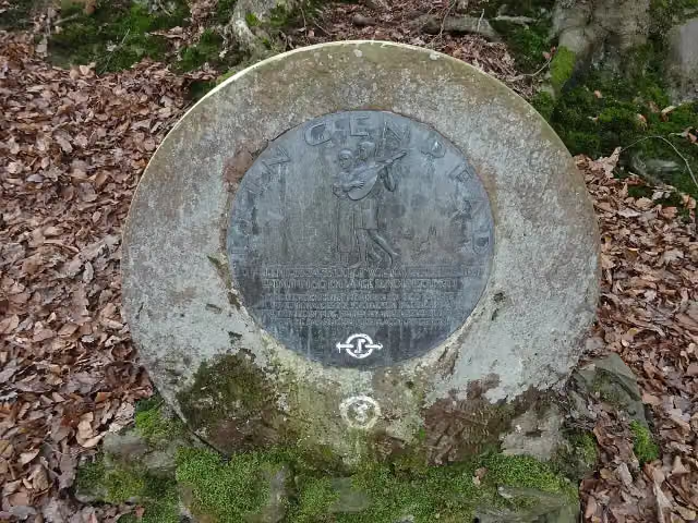 KlingenpfadMemorial · 113 m from the route
- 4
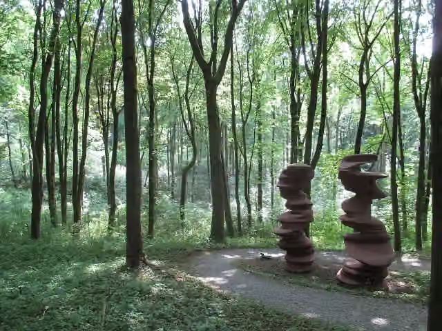 Waldfrieden Sculpture ParkMuseum · 126 m from the route
- 5
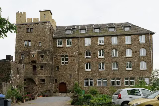 Burg HohenscheidCastle · 141 m from the route
- 6
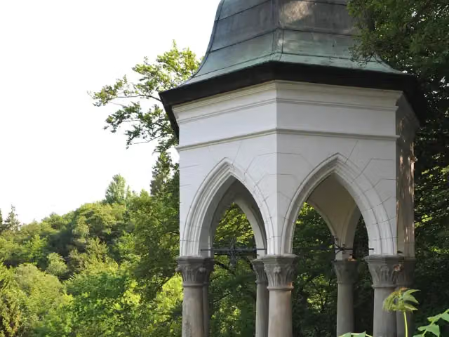 DiederichstempelViewpoint · 147 m from the route
- 7
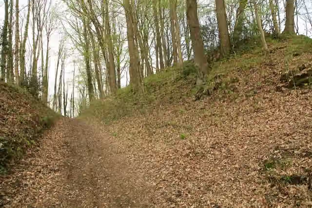 Bodendenkmal GalapaArchaeological site · 163 m from the route
- 8
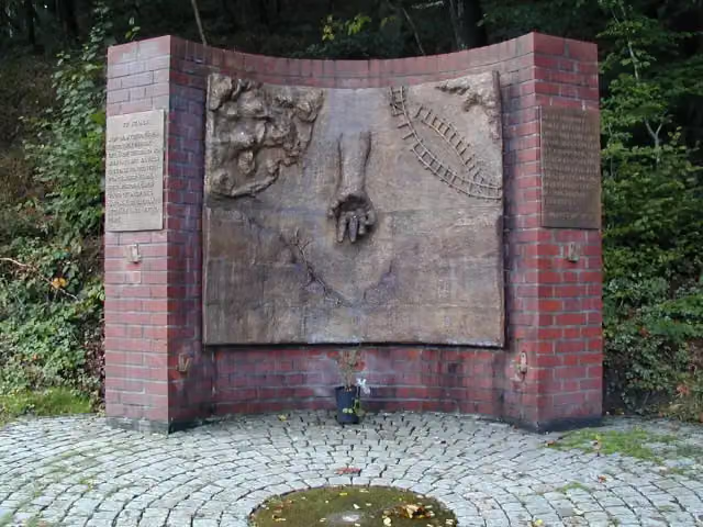 Gedenkstätte KZ KemnaMemorial · 163 m from the route
- 9
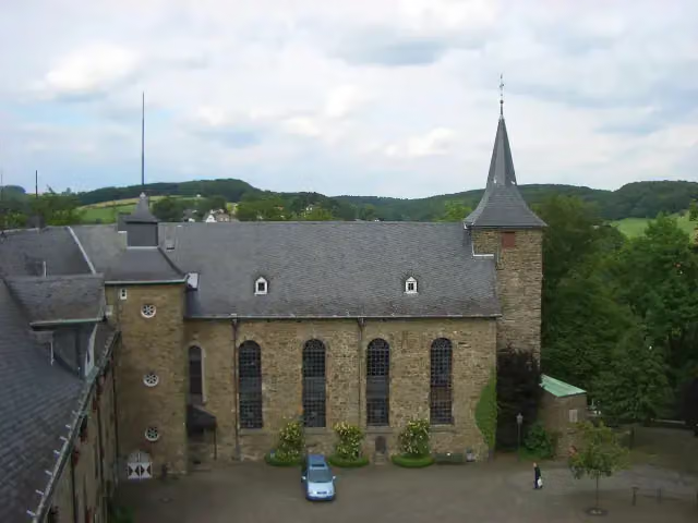 Heimatmuseum HückeswagenMuseum · 172 m from the route
- 10
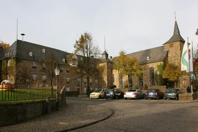 Schloss HückeswagenCastle · 185 m from the route
- 11
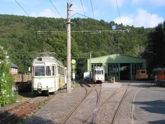 Bergische Museumsbahnen e.V.Museum · 188 m from the route
- 12
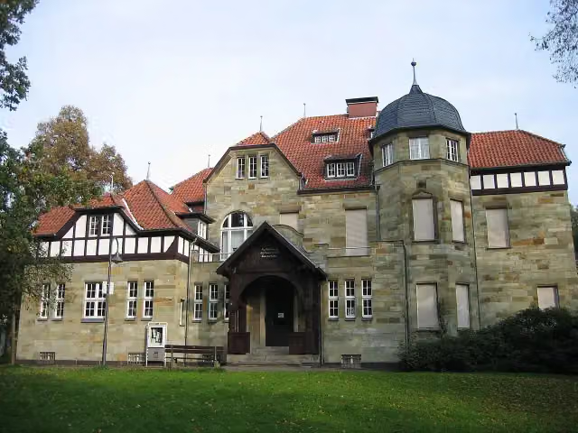 Villa RömerMuseum · 190 m from the route
- 13
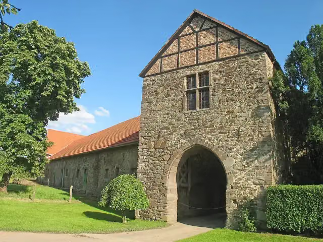 Haus NesselrathAttraction · 199 m from the route
- 14
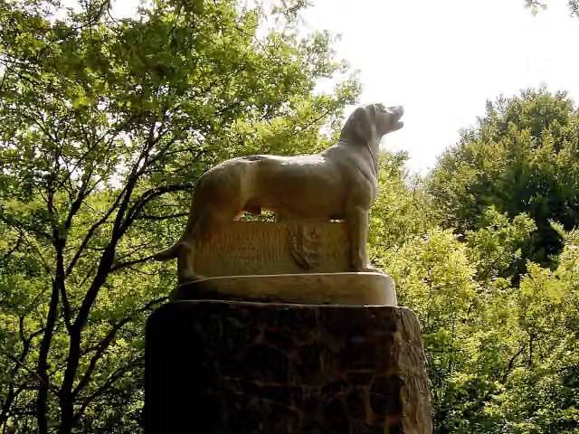 RüdensteinMemorial · 208 m from the route
- 15
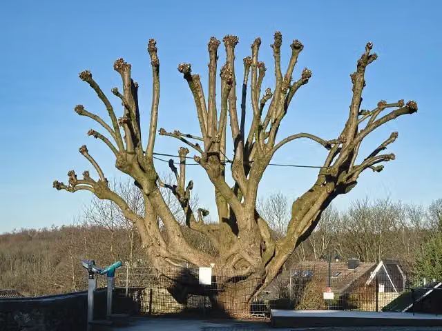 KaiserlindeAttraction · 224 m from the route
- 16
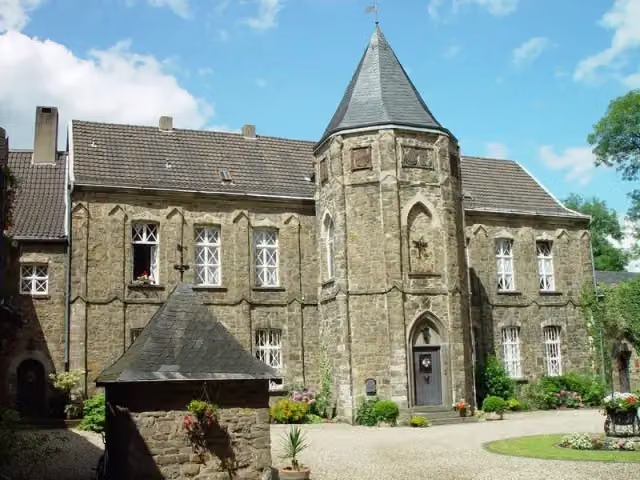 Haus VorstCastle · 250 m from the route
- 17
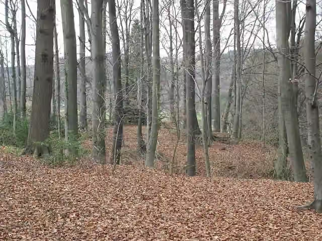 Motte ZoppesmurArchaeological site · 274 m from the route
- 18
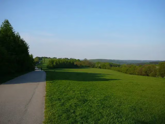 Scharpenacker BergeViewpoint · 328 m from the route
- 19
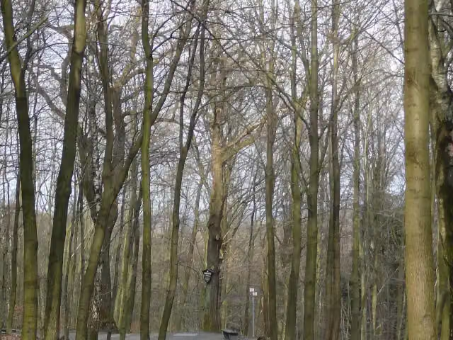 JahrhunderteicheMemorial · 418 m from the route
- 20
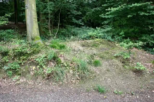 Wallanlage bei MüngstenRuins · 604 m from the route
- 21
 Bibel- und SchöpfungsmuseumMuseum · 710 m from the route
- 22
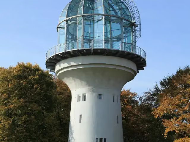 Gräfrather LichtturmAttraction · 984 m from the route
- 23
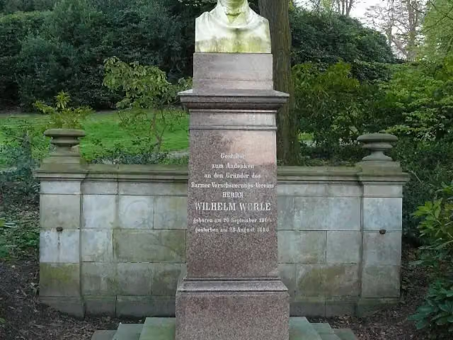 Werlé-DenkmalMemorial · 1.1 km from the route
- 24
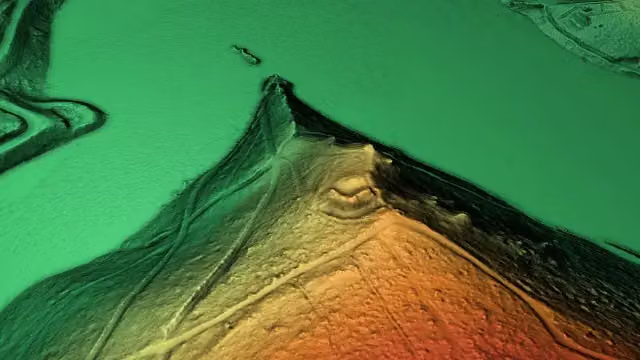 Ringwallanlage Am BilsteinArchaeological site · 1.1 km from the route
- 25
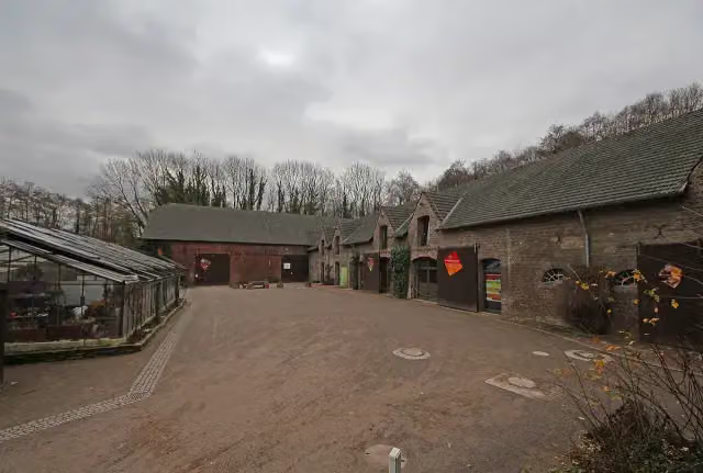 Naturgut OphovenAttraction · 1.1 km from the route
Explore more
More walks around Meinerzhagen
Frequently asked questions
How long is Wupperweg?
Wupperweg is 126.2 km long. Allow ± 30:15 h of walking: 4.5 km an hour and 10 minutes more per 100 metres of climbing, without breaks.
Is this route a circular walk?
No, the route starts and ends at different spots.
Where does this route start?
The route starts in Meinerzhagen.
How hard is this route?
Hard, with 1,312 m of climbing.
Are there toilets along this route?
Yes, there are 5 public toilets within 100 m of the route. The longest stretch without a toilet is 37.1 km.
Can you fill up with water along this route?
No, there is no water point within 100 m of the route. Bring enough water.
What is there to see along this route?
Along the way you pass Wachturm DLRG, Wülfingmuseum and Toelleturm.
Can I download this route as a GPX file?
Yes. Sign in with your Outdoor Pitstop account and choose Download GPX at the top of this page: 10 routes a month for free, unlimited with Pro.
Starting point
More routes from this place
Route data © OpenStreetMap contributors





