 Outdoor Pitstop
Walking route · Bodenfelde · Updated on 14 November 2026
Rumbecker/Boerry Weg X10 walk
Rumbecker/Boerry Weg X10 is a walk of 149.7 km from Bodenfelde. Along the way you'll find 282 benches, 2 water fountains and refill points and 11 public toilets.
i
i
i
The route step by step
From start to finish, with what you pass along the way and the distance in between.
- 149.7 km
- ± 37:35 h
- ↑ 2,591 m · ↓ 2,650 m
- Hard
- From A to B
- Regional route
Start in Bodenfelde
0 km13.3 km · 49 benches
Water point
13.3 km7.8 km · 10 benches
Public toilet
21.1 km49 km · 107 benches

Museum Raabe-Haus
70.1 kmPublic toilet
9.4 km · 7 benches
Bodoturm
79.5 kmObservation tower
3.9 km · 2 benches
Königszinne
83.3 kmCastle
24.2 km · 12 benches
Wallburg Obensburg
107.6 kmArchaeological site
8.8 km · 16 benches
Public toilet
116.4 km1.4 km · 25 benches
Pied Piper's House
117.9 km2 public toilets
291 m · 5 benches
Museum Hameln and 1 more
118.1 kmHochzeitshaus, public toilet and water point
2.3 km · 32 benches
Klütturm
120.4 kmObservation tower
1.2 km · bench
Public toilet
121.7 km23.4 km · 3 benches
Heimatstube Exten
145.1 kmMuseum
2.7 km · 5 benches
Eulenburg
147.8 kmPublic toilet
355 m · bench
Public toilet
148.1 km248 m
Public toilet
148.4 km311 m · 6 benches
Public toilet
148.7 km1 km · bench
Finish
149.7 km
Longest stretch without a toilet: 49 kmBetween 21.1 km and 70.1 km there is no public toilet within 100 m of the route.
The route with the pitstops and sights within 100 m of it.
10 sights along the way
In the order you pass them. With the Outdoor Pitstop app you hear their story on the spot. 2 more along the route are on the map.

Museum · after 70.2 km
Observation tower · after 79.5 km
Castle · after 83.3 km
Archaeological site · after 107.6 km
i
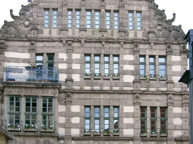
Photo: Beckstet at German Wikipedia · Wikimedia Commons · CC BY-SA 3.0View the photo on Wikimedia CommonsAttraction · after 118 km
Museum · after 118.1 km
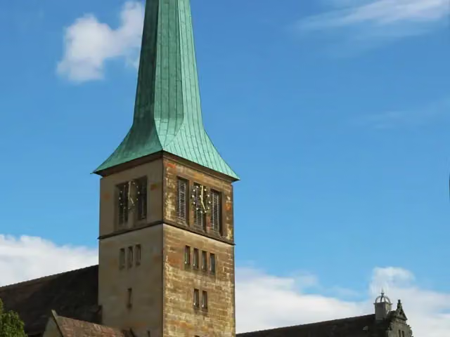
Attraction · after 118.2 km
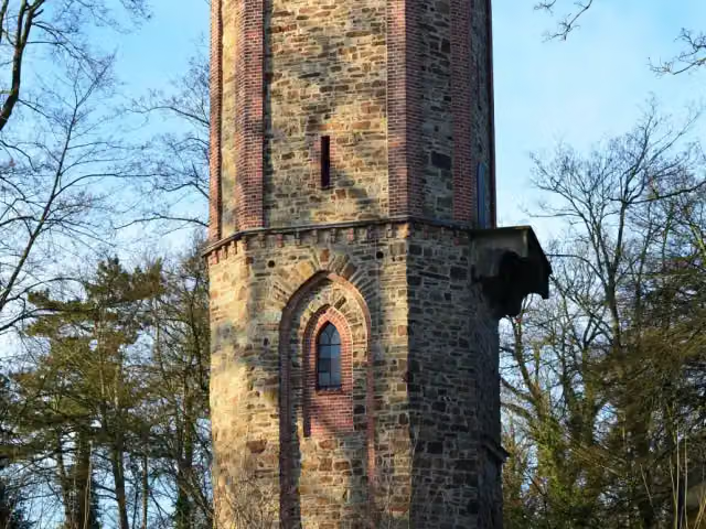
i
Photo: Axel Hindemith · Wikimedia Commons · CC BY-SA 3.0View the photo on Wikimedia CommonsObservation tower · after 120.4 km
Elevation and terrain
- Up
- ↑ 2,591 m
- Down
- ↓ 2,650 m
- Highest point
- 448 m
- Lowest point
- 57 m
- 5-10% slope · 36.9 km
- 10-15% slope · 3.8 km
- 15-20% slope · 752 m
- 2 stairs
Elevation from Copernicus GLO-30 (European Union and ESA), smoothed.
produced using Copernicus WorldDEM-30 © DLR e.V. 2010-2014 and © Airbus Defence and Space GmbH 2014-2018 provided under COPERNICUS by the European Union and ESA; all rights reserved
Way types
149.7 km in total- Track: 85.8 km
- Path: 24 km
- Street: 17.9 km
- Road: 12.5 km
- Busy road: 5.3 km
- Footpath: 2.9 km
- Cycleway: 875 m
- Stairs: 2 stairs
- Unknown: 25 m
Surfaces
149.7 km in total- Gravel: 55.2 km
- Asphalt: 36.1 km
- Unpaved: 23.6 km
- Paved: 5.5 km
- Natural: 1.7 km
- Unknown: 27.2 km
About the walking route Rumbecker/Boerry Weg X10
Updated on 14 November 2026, with data from OpenStreetMap, the AHN and Copernicus.
Where do you walk?
Rumbecker/Boerry Weg X10 is a walking route of 149.7 km that starts in Bodenfelde. It does not end where it starts. Along the way you pass Museum Raabe-Haus (after 70.2 km), Bodoturm (after 79.5 km) and Königszinne (after 83.3 km).
How hard is the route?
You climb 2,591 m in total and descend 2,650 m. There are 2 flights of steps along the way. Allow ± 37:35 h, without breaks. The level is hard.
What paths do you walk on?
The longest part is track (85.8 km), path (24 km) and street (17.9 km). Of the surface, 55.2 km gravel and 36.1 km asphalt. For 27.2 km the surface is not known.
Pitstops along the way
Within 100 metres of the route there are 282 benches, 2 water fountains and refill points and 11 public toilets. You can fill your bottle after 13.3 km and after 118.3 km. The longest stretch without a toilet is 49 km. The Outdoor Pitstop app navigates you there.
Walks nearby
6- Märchenlandweg - Etappe 1Moderate · From A to B13.2 km
- Pilgerweg Loccum - Volkenroda, Nebenstrecke IIHard · From A to B44.8 km
- Märchenlandweg - Etappe 2 AlternativrouteModerate · From A to B16.4 km
- Frau-Holle-PfadHard · From A to B174.6 km
- Märchenlandweg - Etappe 2Moderate · From A to B10 km
- Hessenweg 11- Frau Holle-RouteHard · From A to B153.6 km
Sights nearby
Within 10 km of the route, best known first.
- 1
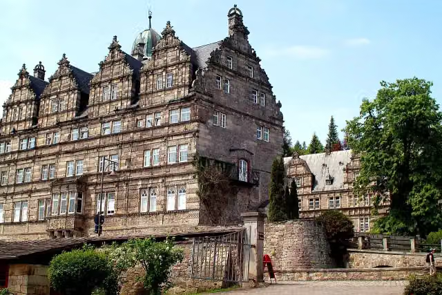 Schloss HämelschenburgAttraction · 6.4 km from the route
- 2
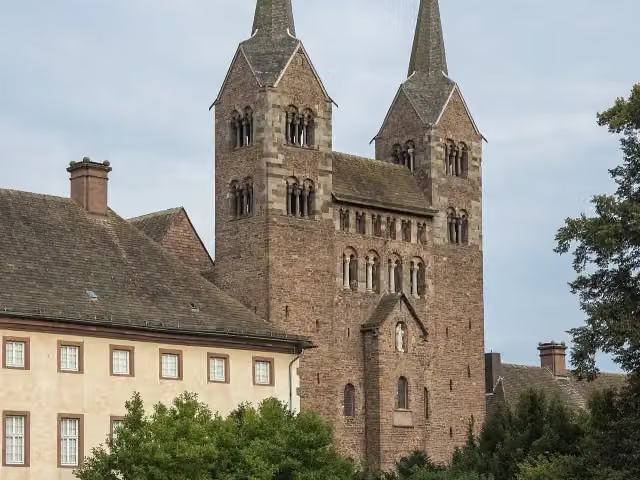 Abteikirche St. Stephanus und VitusAttraction · 5.3 km from the route
- 3
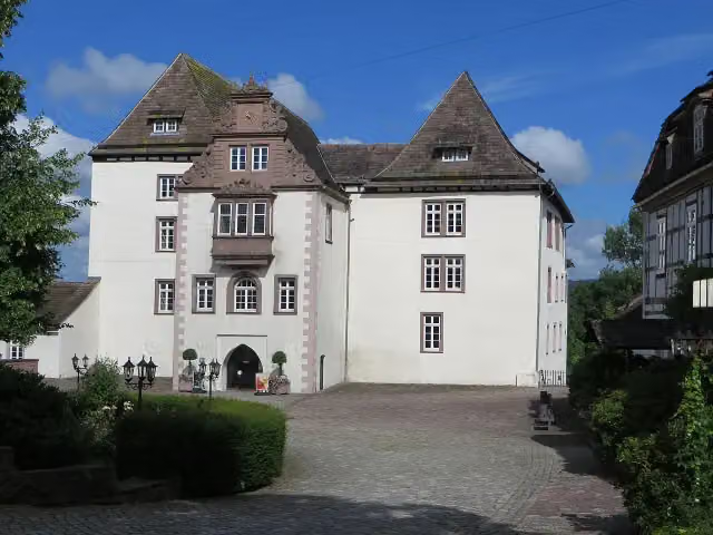 Schloss FürstenbergMuseum · 111 m from the route
- 4
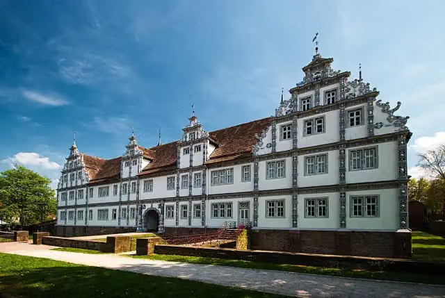 Schloß BevernAttraction · 128 m from the route
- 5
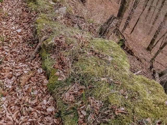 LauenburgRuins · 129 m from the route
- 6
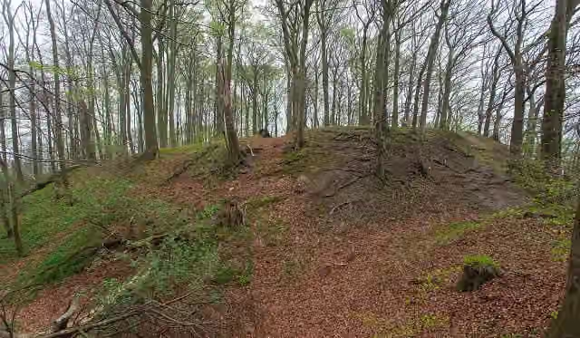 Hünenburg HohenrodeAttraction · 162 m from the route
- 7
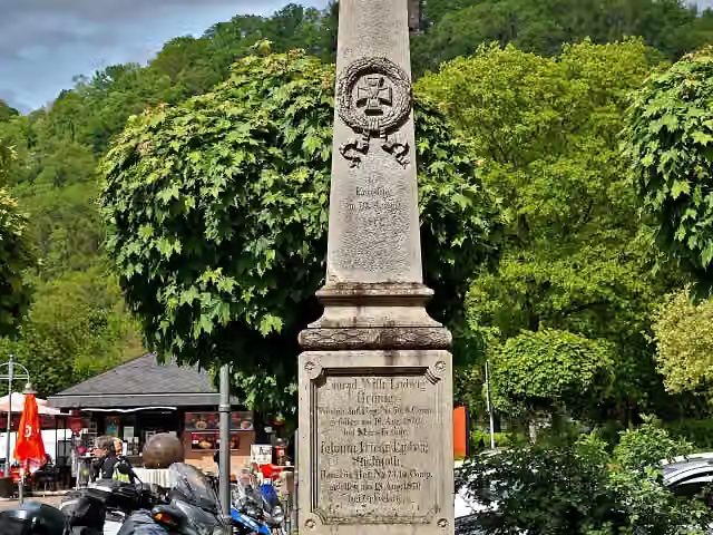 Gefallenendenkmal für den Deutsch-Französischen KriegMemorial · 165 m from the route
- 8
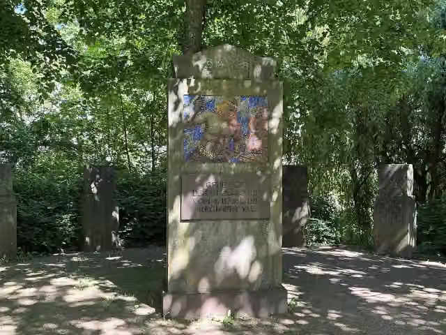 Gefallene des 1. WeltkriegsMemorial · 165 m from the route
- 9
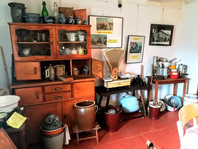 Heimat-Museum BodenfeldeMuseum · 167 m from the route
- 10
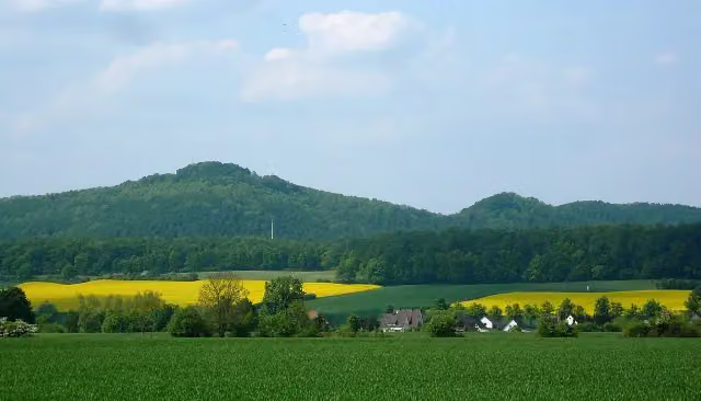 Burg EversteinArchaeological site · 214 m from the route
- 11
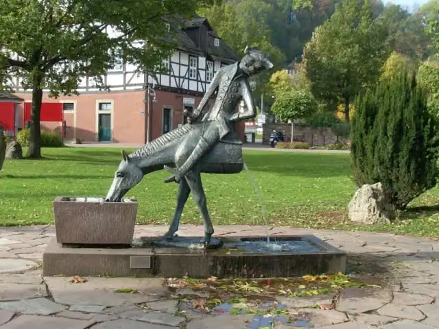 MünchausenbrunnenMemorial · 263 m from the route
- 12
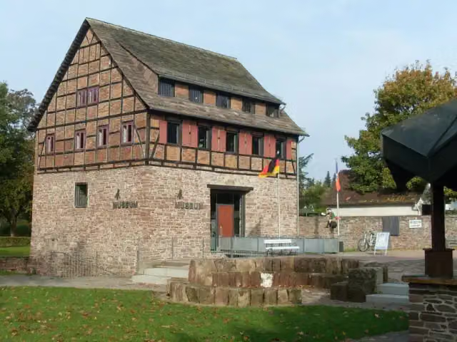 Münchhausen-MuseumMuseum · 299 m from the route
- 13
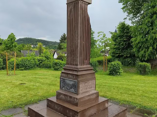 Gefallenendenkmal EinigungskriegeMemorial · 320 m from the route
- 14
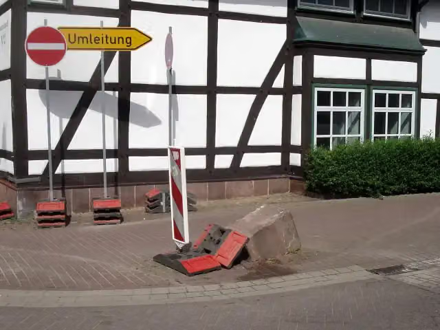 Der UmfahrsteinMemorial · 330 m from the route
- 15
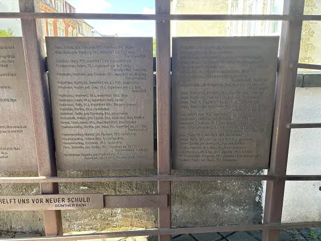 Für die vertriebenen und ermordeten jüdischen Mitbürger HamelnsMemorial · 331 m from the route
- 16
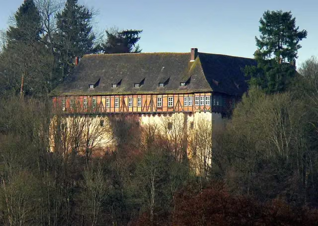 Schloss NienoverCastle · 331 m from the route
- 17
 Denkmal für die ermordeten jüdischen Mitbürger HamelnsMemorial · 337 m from the route
- 18
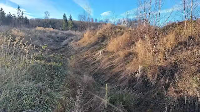 SassenburgArchaeological site · 436 m from the route
- 19
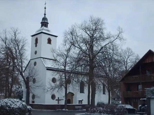 Heilige Familie und Heiliger StephanusAttraction · 835 m from the route
- 20
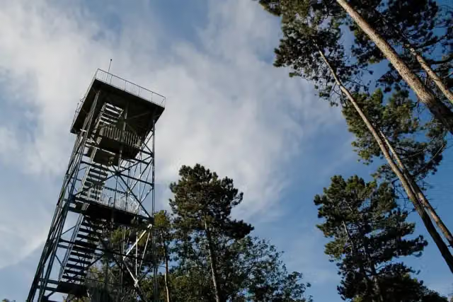 KellbergturmObservation tower · 873 m from the route
- 21
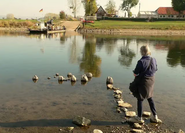 Weserbrücke GrohndeRuins · 912 m from the route
- 22
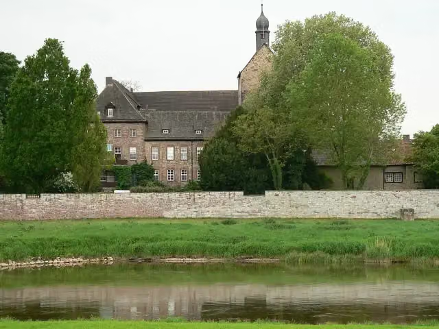 Schloss GrohndeCastle · 1.1 km from the route
- 23
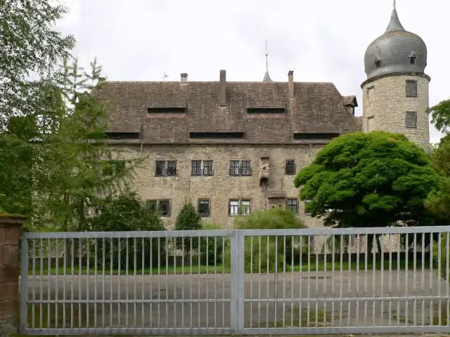 Wasserschloss HehlenCastle · 1.6 km from the route
- 24
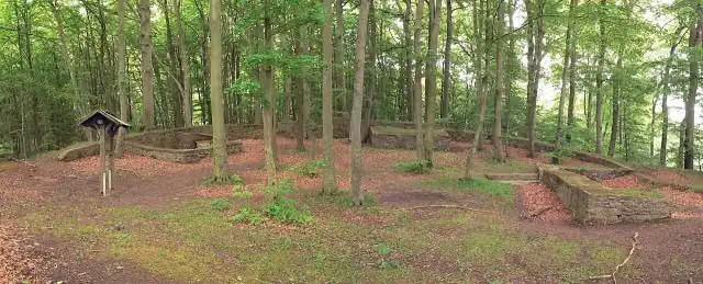 Die Hünenburg bei TodenmannAttraction · 1.7 km from the route
- 25
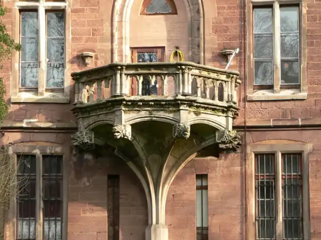 Schloss HastenbeckCastle · 1.8 km from the route
Explore more
More walks around Bodenfelde
Frequently asked questions
How long is Rumbecker/Boerry Weg X10?
Rumbecker/Boerry Weg X10 is 149.7 km long. Allow ± 37:35 h of walking: 4.5 km an hour and 10 minutes more per 100 metres of climbing, without breaks.
Is this route a circular walk?
No, the route starts and ends at different spots.
Where does this route start?
The route starts in Bodenfelde.
How hard is this route?
Hard, with 2,591 m of climbing.
Are there toilets along this route?
Yes, there are 11 public toilets within 100 m of the route. The longest stretch without a toilet is 49 km.
Can you fill up with water along this route?
Yes, there are 2 water fountains and refill points within 100 m of the route.
What is there to see along this route?
Along the way you pass Museum Raabe-Haus, Bodoturm and Königszinne.
Can I download this route as a GPX file?
Yes. Sign in with your Outdoor Pitstop account and choose Download GPX at the top of this page: 10 routes a month for free, unlimited with Pro.
Starting point
More routes from this place
Route data © OpenStreetMap contributors





