 Outdoor Pitstop
Walking route · Langerwehe · Updated on 14 November 2026
Wald-Wasser-Wildnis-Weg walk
Wald-Wasser-Wildnis-Weg is a walk of 56.1 km from Langerwehe. Along the way you'll find 172 benches and 5 public toilets.
i
i
The route step by step
From start to finish, with what you pass along the way and the distance in between.
- 56.1 km
- ± 14:20 h
- ↑ 1,123 m · ↓ 926 m
- Hard
- From A to B
- Regional route
Start in Langerwehe
0 km37.3 km · 74 benches
Public toilet
37.3 km367 m · 12 benches
Public toilet
37.7 km387 m · 15 benches
Public toilet
38.1 km4.2 km · 20 benches
Public toilet
42.3 km13.5 km · 28 benches
Public toilet
55.8 km347 m · 18 benches
Finish
56.1 km
Longest stretch without a toilet: 37.3 kmBetween 0 km and 37.3 km there is no public toilet within 100 m of the route.
The route with the pitstops and sights within 100 m of it.
Elevation and terrain
- Up
- ↑ 1,123 m
- Down
- ↓ 926 m
- Highest point
- 519 m
- Lowest point
- 147 m
- 5-10% slope · 13.8 km
- 10-15% slope · 2.5 km
- 4 stairs
Elevation from Copernicus GLO-30 (European Union and ESA), smoothed.
produced using Copernicus WorldDEM-30 © DLR e.V. 2010-2014 and © Airbus Defence and Space GmbH 2014-2018 provided under COPERNICUS by the European Union and ESA; all rights reserved
Way types
56.1 km in total- Track: 30.9 km
- Street: 13.8 km
- Path: 7.9 km
- Road: 1.5 km
- Busy road: 1.2 km
- Stairs: 4 stairs
- Footpath: 275 m
Surfaces
56.1 km in total- Asphalt: 13.3 km
- Gravel: 11.9 km
- Unpaved: 10.6 km
- Paved: 4.1 km
- Natural: 1.4 km
- Unknown: 14.6 km
About the walking route Wald-Wasser-Wildnis-Weg
Updated on 14 November 2026, with data from OpenStreetMap, the AHN and Copernicus.
Where do you walk?
Wald-Wasser-Wildnis-Weg is a walking route of 56.1 km that starts in Langerwehe. It does not end where it starts. You start in Langerwehe and finish in Gemünd.
How hard is the route?
You climb 1,123 m in total and descend 926 m. There are 4 flights of steps along the way. Allow ± 14:20 h, without breaks. The level is hard.
What paths do you walk on?
The longest part is track (30.9 km), street (13.8 km) and path (7.9 km). Of the surface, 13.3 km asphalt and 11.9 km gravel. For 14.6 km the surface is not known.
Pitstops along the way
Within 100 metres of the route there are 172 benches and 5 public toilets. The longest stretch without a toilet is 37.3 km. The Outdoor Pitstop app navigates you there.
Walks nearby
4Sights nearby
Within 10 km of the route, best known first.
- 1
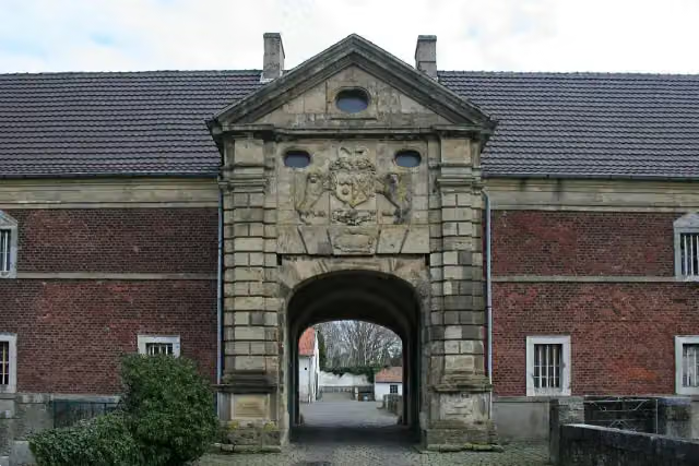 Gut MüllenarkCastle · 7.2 km from the route
- 2
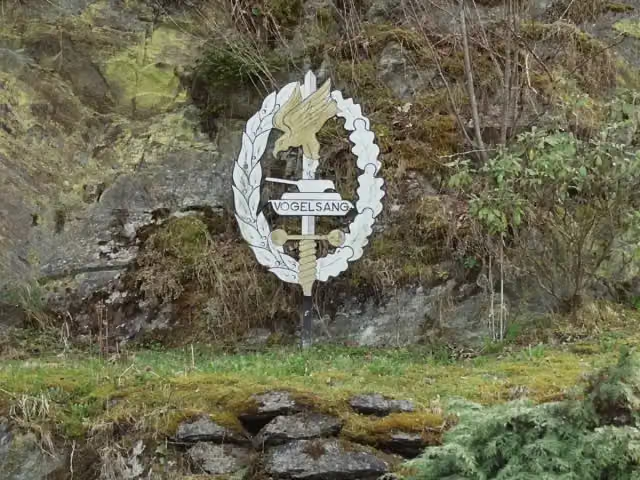 Vogelsang International PlaceMuseum · 184 m from the route
- 3
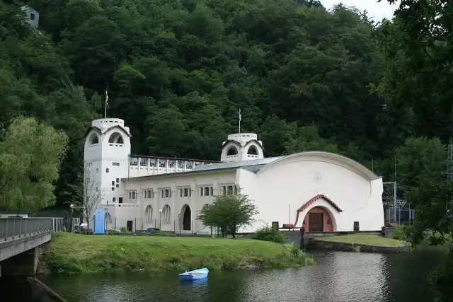 Kraftwerk HeimbachAttraction · 3.1 km from the route
- 4
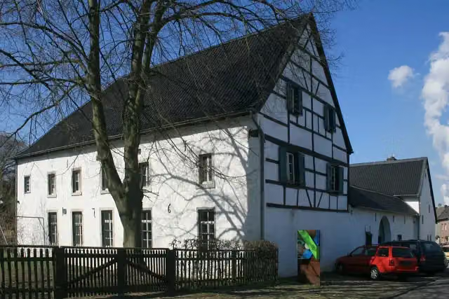 TöpfereimuseumMuseum · 155 m from the route
- 5
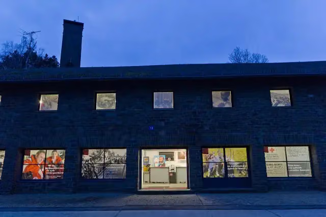 Rotkreuzmuseum Vogelsang IPMuseum · 194 m from the route
- 6
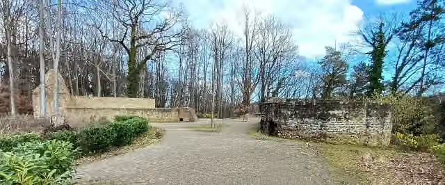 KarlsburgRuins · 333 m from the route
- 7
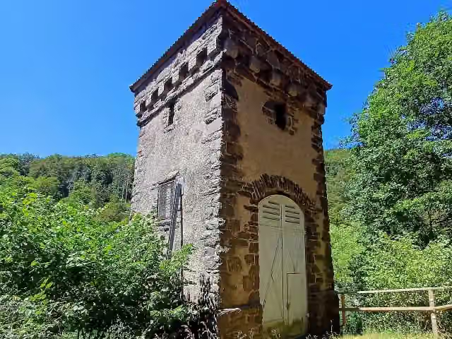 AttractionAttraction · 526 m from the route
- 8
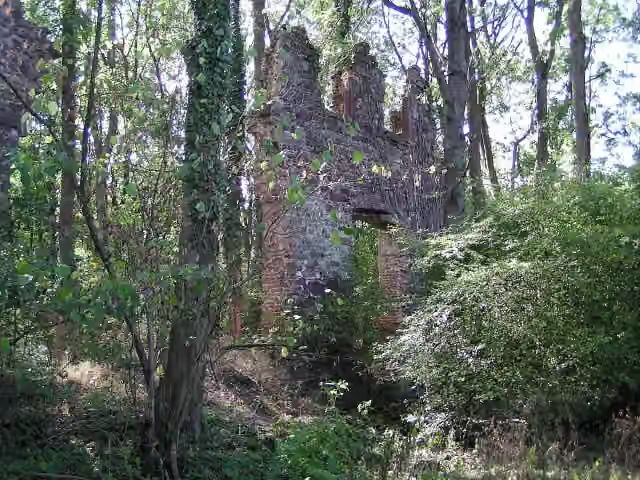 Klosterruine SchwarzenbroichArchaeological site · 877 m from the route
- 9
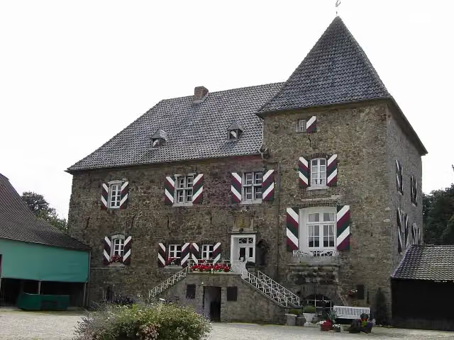 Burg HolzheimCastle · 1.2 km from the route
- 10
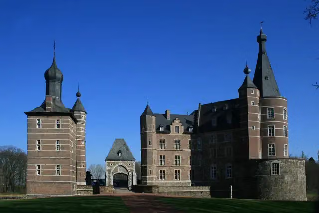 Schloss MerodeCastle · 2.2 km from the route
- 11
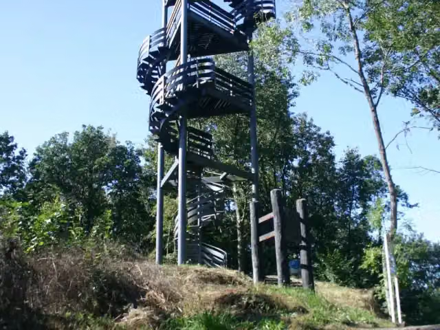 KrawutschketurmObservation tower · 2.5 km from the route
- 12
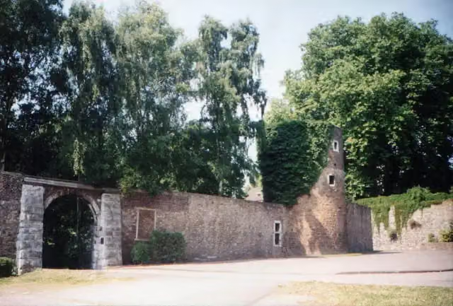 Burg WeisweilerRuins · 2.7 km from the route
- 13
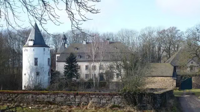 Burg DreibornCastle · 3.2 km from the route
- 14
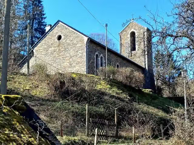 MarienkapelleAttraction · 3.3 km from the route
- 15
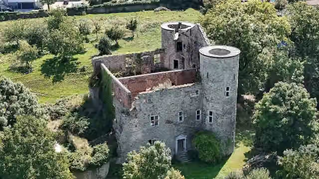 Nothberger BurgCastle · 3.7 km from the route
- 16
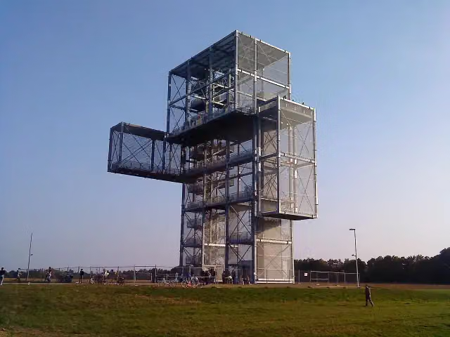 Großer IndemannObservation tower · 3.7 km from the route
- 17
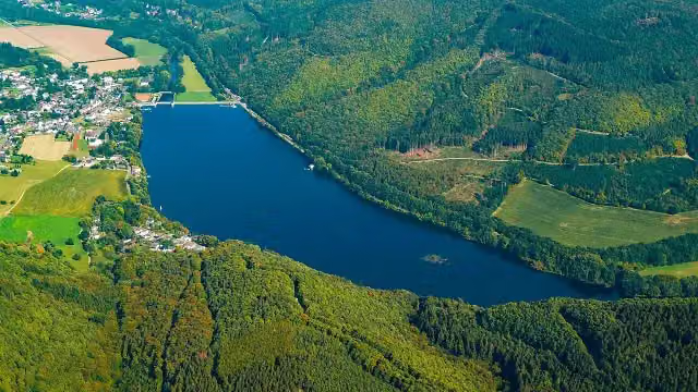 FischtreppeAttraction · 3.9 km from the route
- 18
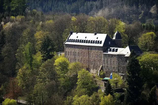 Schloss SchleidenCastle · 4.6 km from the route
- 19
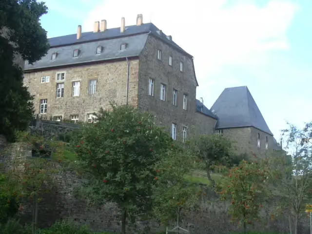 Burg UntermaubachCastle · 4.7 km from the route
- 20
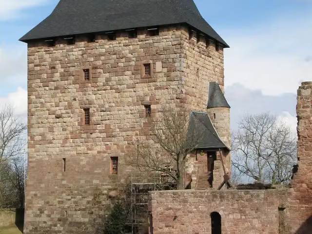 BurgenmuseumMuseum · 4.8 km from the route
- 21
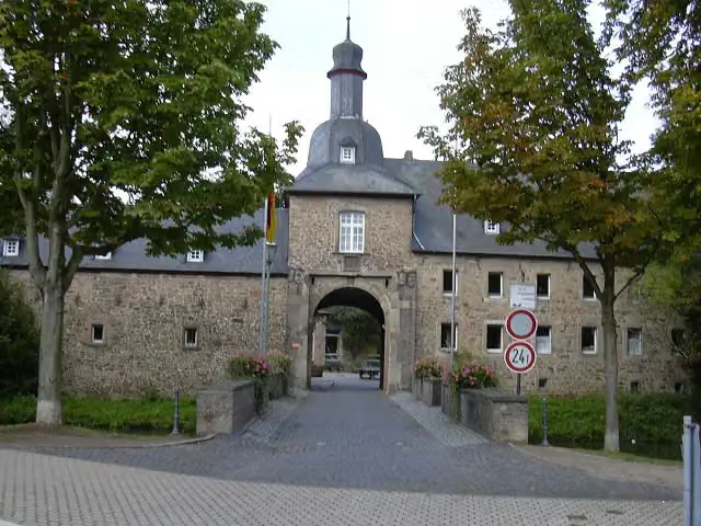 Burg BirgelCastle · 4.8 km from the route
- 22
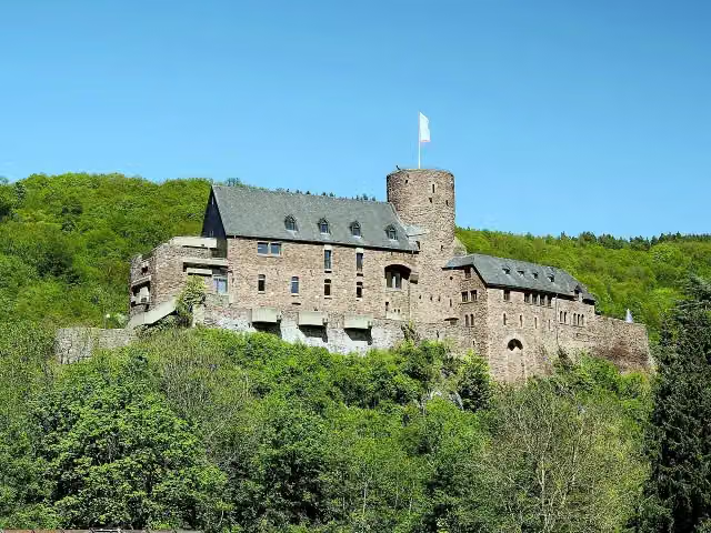 Burg HengebachAttraction · 5 km from the route
- 23
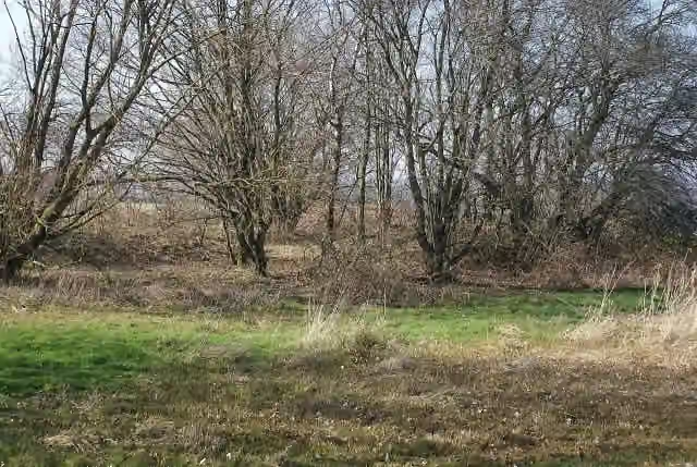 Befestigung MeyssenburgArchaeological site · 5 km from the route
- 24
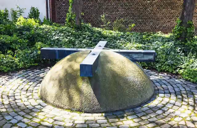 Mahnmal für die Toten und Vermissten der beiden WeltkriegeMemorial · 5.1 km from the route
- 25
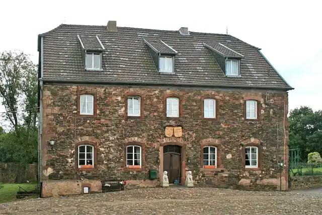 Burg BlensCastle · 5.3 km from the route
Explore more
More walks around Langerwehe
Frequently asked questions
How long is Wald-Wasser-Wildnis-Weg?
Wald-Wasser-Wildnis-Weg is 56.1 km long. Allow ± 14:20 h of walking: 4.5 km an hour and 10 minutes more per 100 metres of climbing, without breaks.
Is this route a circular walk?
No, the route runs from Langerwehe to Gemünd.
Where does this route start?
The route starts in Langerwehe.
How hard is this route?
Hard, with 1,123 m of climbing.
Are there toilets along this route?
Yes, there are 5 public toilets within 100 m of the route. The longest stretch without a toilet is 37.3 km.
Can you fill up with water along this route?
No, there is no water point within 100 m of the route. Bring enough water.
Can I download this route as a GPX file?
Yes. Sign in with your Outdoor Pitstop account and choose Download GPX at the top of this page: 10 routes a month for free, unlimited with Pro.
Starting point
More routes from this place
Route data © OpenStreetMap contributors





