 Outdoor Pitstop
Walking route · Rheine · Updated on 14 November 2026
Hermannsweg walk
Hermannsweg is a walk of 165 km from Rheine. Along the way you'll find 744 benches, 3 water fountains and refill points and 14 public toilets.
i
i
i
The route step by step
From start to finish, with what you pass along the way and the distance in between.
- 165 km
- ± 4:05 h per stage
- Moderate per stage
- From A to B
- National route
Pick a stage to see the pitstops per kilometre. Along the way you'll find 744 benches, 3 water fountains and refill points and 14 public toilets.
Follow these steps in the appThe route with the water points, toilets and sights within 100 m of it.
16 sights along the way
In the order you pass them. With the Outdoor Pitstop app you hear their story on the spot. 8 more along the route are on the map.
i
Photo: J.-H. Janßen · Wikimedia Commons · CC BY-SA 3.0View the photo on Wikimedia CommonsObservation tower

Observation tower
Observation tower
Museum
i
Photo: J.-H. Janßen · Wikimedia Commons · CC BY-SA 4.0View the photo on Wikimedia CommonsViewpoint
Museum
i
Photo: Carsten Steger · Wikimedia Commons · CC BY-SA 4.0View the photo on Wikimedia CommonsCastle
i
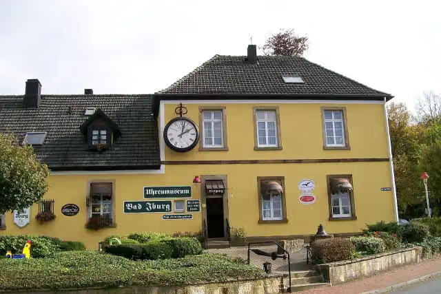
Photo: MrsMyerDE · Wikimedia Commons · CC BY-SA 3.0View the photo on Wikimedia CommonsMuseum
Stages (9)
- 1Hermannshöhen - Etappe 1 von Rheine nach Hörstel18.9 km
- 2Hermannshöhen - Etappe 2 von Hörstel nach Tecklenburg19.8 km
- 3Hermannshöhen - Etappe 3 von Tecklenburg nach Bad Iburg21.1 km
- 4Hermannshöhen - Etappe 4 von Bad Iburg nach Dissen16.5 km
- 5Hermannshöhen - Etappe 5 von Dissen nach Halle (Westf.)19 km
- 6Hermannshöhen - Etappe 6 von Halle (Westf.) nach Bielefeld16.3 km
- 7Hermannshöhen - Etappe 7 von Bielefeld nach Oerlinghausen14.5 km
- 8Hermannshöhen - Etappe 8 von Oerlinghausen nach Detmold17.4 km
- 9Hermannshöhen - Etappe 9 von Detmold nach Leopoldstal21.6 km
Elevation and terrain
Way types
165 km in total- Track: 87.4 km
- Path: 32.4 km
- Street: 11.6 km
- Road: 9.3 km
- Footpath: 4.3 km
- Busy road: 1.5 km
- Stairs: 29 stairs
Surfaces
165 km in total- Gravel: 66.9 km
- Unpaved: 28.7 km
- Asphalt: 20.7 km
- Paved: 5.6 km
- Natural: 3 km
- Unknown: 23 km
About the walking route Hermannsweg
Updated on 14 November 2026, with data from OpenStreetMap, the AHN and Copernicus.
Where do you walk?
Hermannsweg is a walking route of 165 km that starts in Rheine. It does not end where it starts. You start in Rheine and finish in Leopoldstal (Horn-Bad Meinberg=.
How hard is the route?
There are 29 flights of steps along the way. Allow ± 4:05 h per stage, without breaks. Per stage the level is moderate.
What paths do you walk on?
The longest part is track (87.4 km), path (32.4 km) and street (11.6 km). Of the surface, 66.9 km gravel and 28.7 km unpaved. For 23 km the surface is not known.
Pitstops along the way
Within 100 metres of the route there are 744 benches, 3 water fountains and refill points and 14 public toilets. The Outdoor Pitstop app navigates you there.
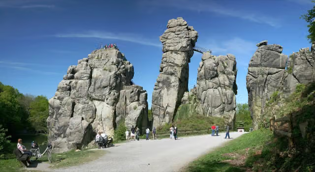
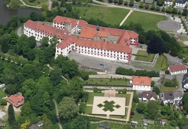
The Hermannsweg is a 165 km long-distance trail along the ridge of the Teutoburg Forest, from Rheine to Leopoldstal near Horn-Bad Meinberg, in nine stages. Named after Arminius (Hermann), the Cheruscan chief, it was set up in 1902, and together with the Eggeweg it forms the Hermannshöhen. Via Hörstel, Tecklenburg, Bad Iburg, Dissen, Halle (Westf.), Bielefeld and Oerlinghausen you walk to Detmold, passing the Hockendes Weib rock at the Dörenther Klippen, Iburg Castle and the Hermannsdenkmal. Drinking water is scarce: we know of only 3 points, plus 14 toilets. About 60% is forest track.
Source: Wikipedia (CC BY-SA)
Walks nearby
6Sights nearby
Within 10 km of the route, best known first.
- 1
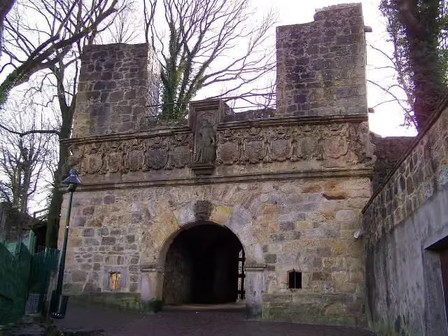 Burg TecklenburgCastle · 80 m from the route
- 2
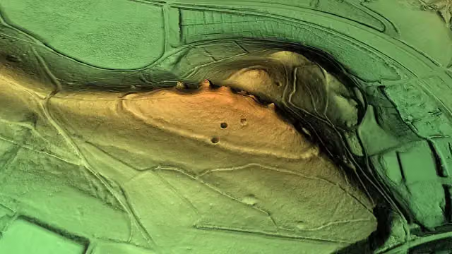 Wallburg SchweinskopfArchaeological site · 121 m from the route
- 3
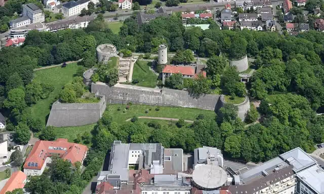 Burg und Festung SparrenbergAttraction · 138 m from the route
- 4
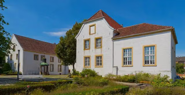 Falkenhof-MuseumMuseum · 210 m from the route
- 5
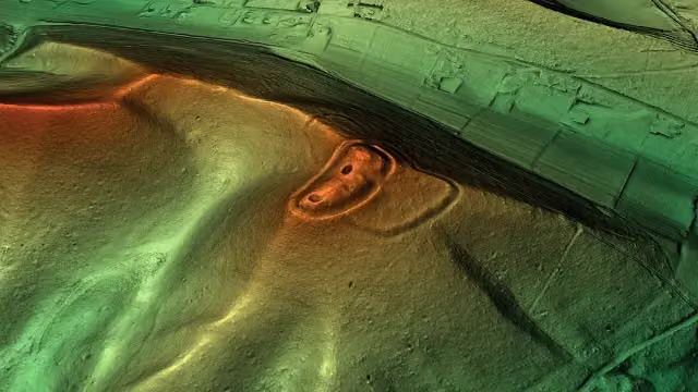 HünensautAttraction · 214 m from the route
- 6
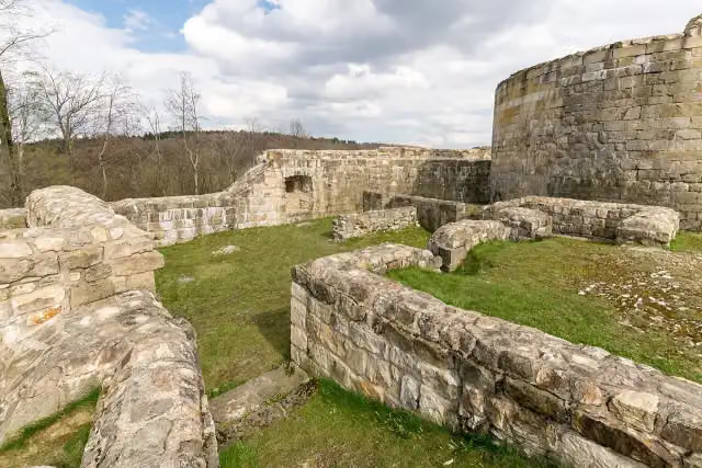 FalkenburgArchaeological site · 228 m from the route
- 7
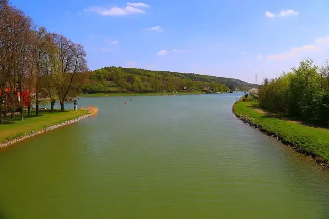 Nasses DreieckAttraction · 296 m from the route
- 8
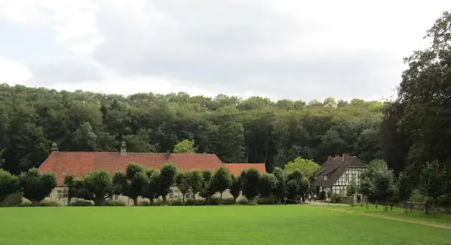 Wasserschloss Haus MarckCastle · 356 m from the route
- 9
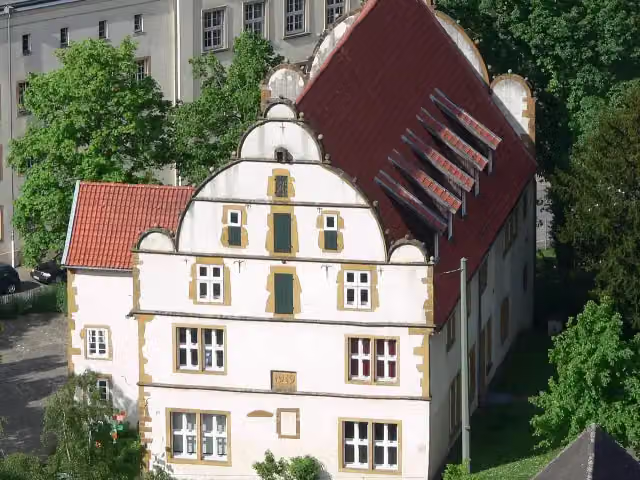 NaMu - Naturkunde-MuseumMuseum · 416 m from the route
- 10
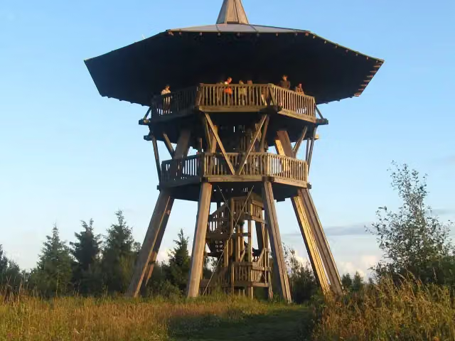 EggeturmObservation tower · 468 m from the route
- 11
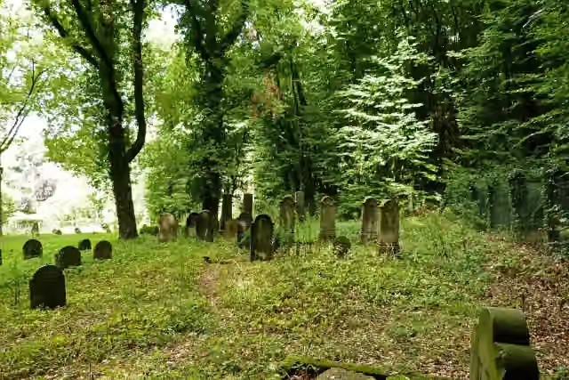 JudenfriedhofMemorial · 500 m from the route
- 12
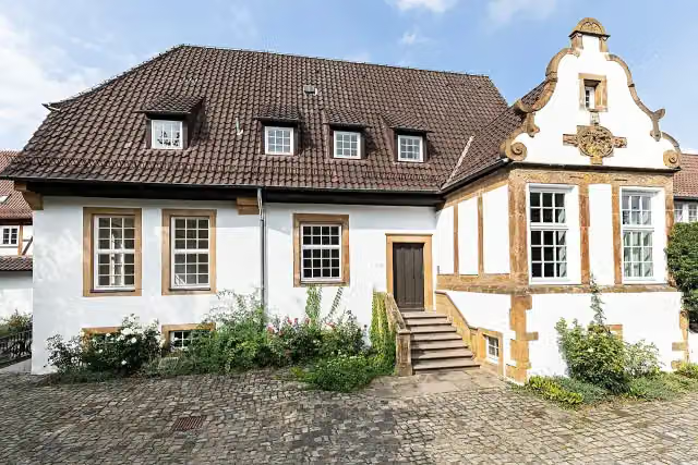 Kunstverein BielefeldMuseum · 549 m from the route
- 13
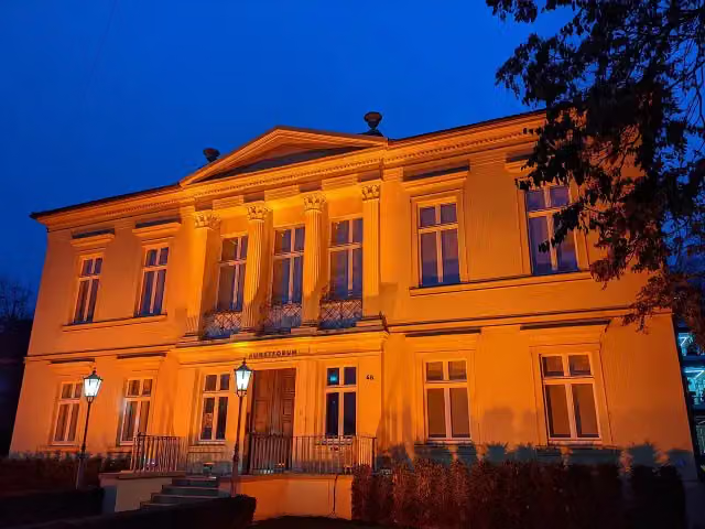 Kunstforum Hermann StennerMuseum · 635 m from the route
- 14
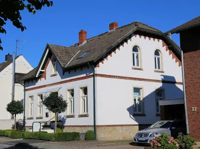 KalköfenRuins · 752 m from the route
- 15
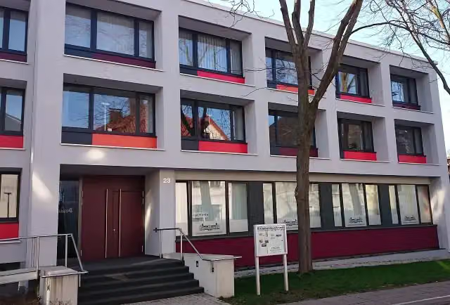 KrankenhausmuseumMuseum · 905 m from the route
- 16
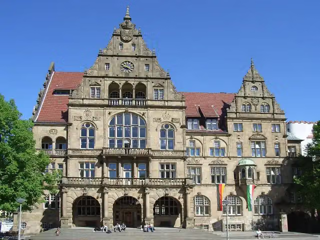 Altes RathausAttraction · 913 m from the route
- 17
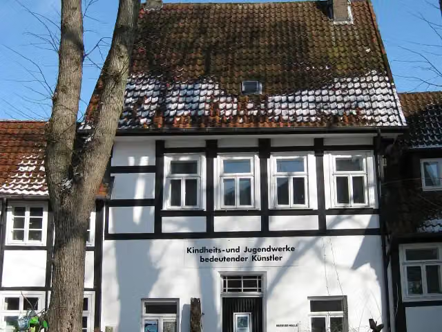 Museum für Kindheits- und Jugendwerke bedeutender KünstlerMuseum · 948 m from the route
- 18
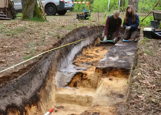 RömerlagerArchaeological site · 1 km from the route
- 19
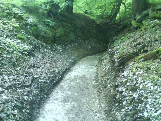 RömerwegArchaeological site · 1.1 km from the route
- 20
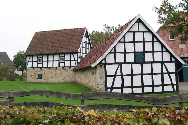 Averbecks SpeicherMuseum · 1.1 km from the route
- 21
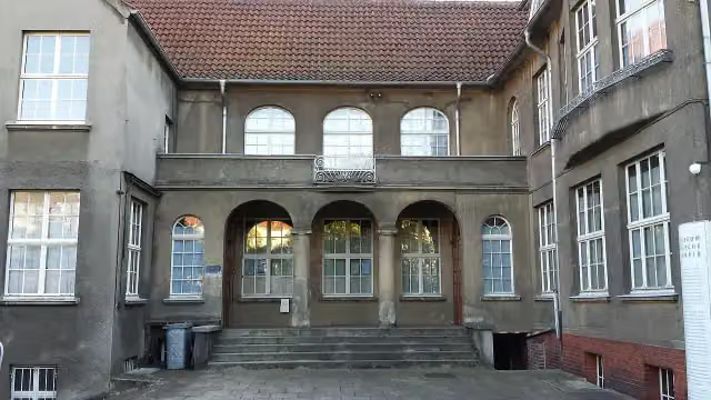 Museum WäschefabrikMuseum · 1.2 km from the route
- 22
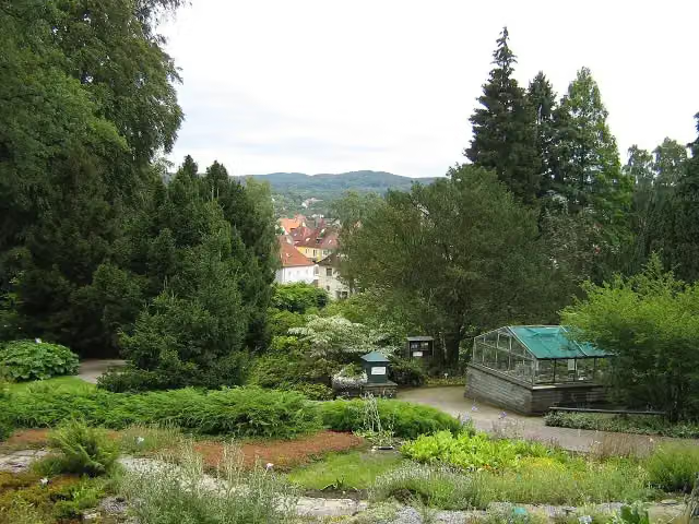 Botanischer GartenAttraction · 1.2 km from the route
- 23
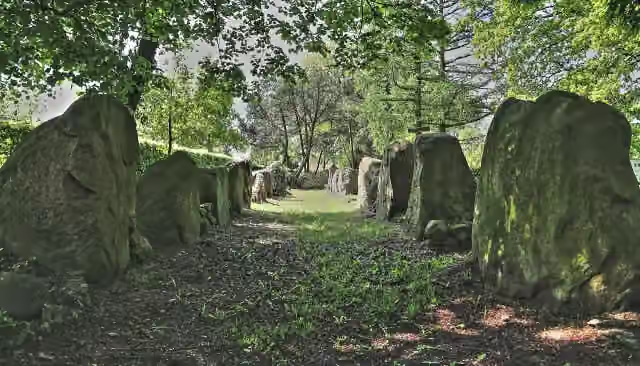 Galeriegrab Wechte IArchaeological site · 1.4 km from the route
- 24
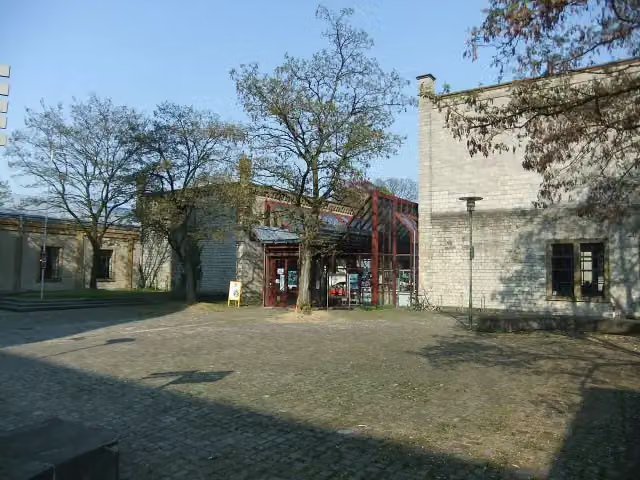 Historisches Museum BielefeldMuseum · 1.4 km from the route
- 25
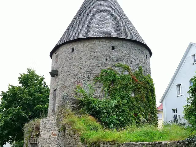 EulenturmAttraction · 1.5 km from the route
Explore more
Frequently asked questions
How long is Hermannsweg?
Hermannsweg is 165 km long, in 9 stages of 18.3 km on average. Allow ± 4:05 h per stage of walking: 4.5 km an hour and 10 minutes more per 100 metres of climbing, without breaks.
How many stages does this route have?
The route is split into 9 stages of 18.3 km on average, 165 km in all. The shortest stage is 14.5 km, the longest 21.6 km.
Is this route a circular walk?
No, the route runs from Rheine to Leopoldstal (Horn-Bad Meinberg=.
Where does this route start?
The route starts in Rheine.
How hard is this route?
Moderate per stage.
Are there toilets along this route?
Yes, there are 14 public toilets within 100 m of the route.
Can you fill up with water along this route?
Yes, there are 3 water fountains and refill points within 100 m of the route.
What is there to see along this route?
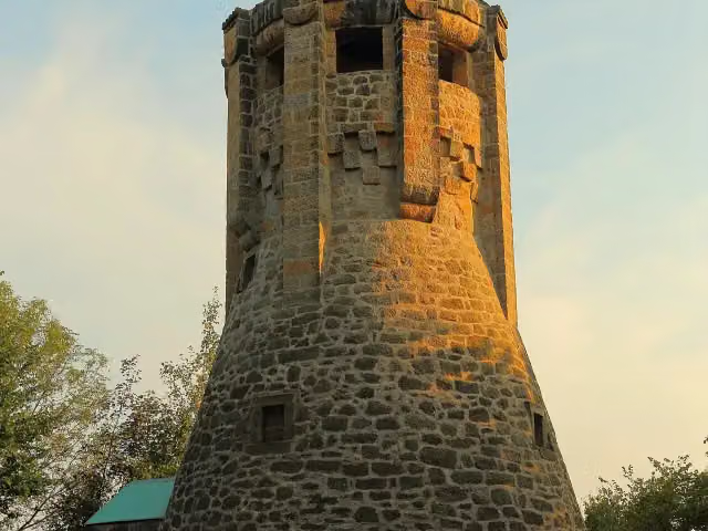
Along the way you pass Bismarckturm Tecklenburg, Observation tower and Wierturm.
Which stage of this route has the most points of interest?
Stage 2 (19.8 km), with 5 points of interest along the route, such as Bismarckturm Tecklenburg, Observation tower and Wierturm.
Can I download this route as a GPX file?
Yes. Sign in with your Outdoor Pitstop account and choose Download GPX at the top of this page: 10 routes a month for free, unlimited with Pro.
Starting point
More routes from this place
Route data © OpenStreetMap contributors





