 Outdoor Pitstop
Walking route · Kyffhäuserland · Updated on 14 November 2026
Kaiserweg walk
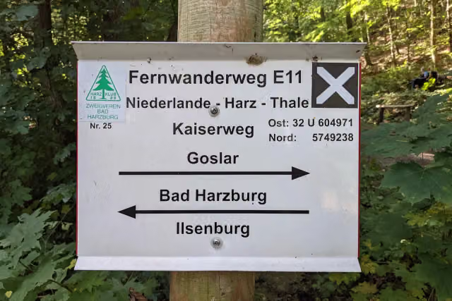
Kaiserweg is a walk of 111.7 km from Kyffhäuserland. Along the way you'll find 229 benches, 1 water point and 3 public toilets.
i
i
i
The route step by step
From start to finish, with what you pass along the way and the distance in between.
- 111.7 km
- ± 27:55 h
- ↑ 1,842 m · ↓ 1,965 m
- Hard
- From A to B
- Regional route
Start in Kyffhäuserland
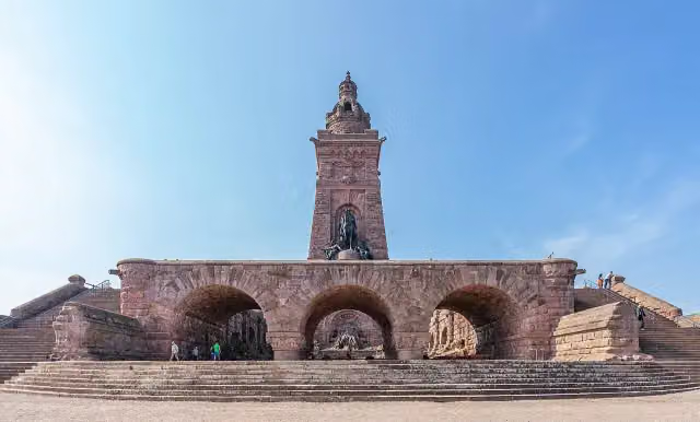
0 kmAt the start: Reichsburg Kyffhausen, Kyffhäuserdenkmal and Kaiser-Botschaft vom 17. Nov. 1881.
311 m · 16 benches

Observation tower
311 mObservation tower
2.5 km · 10 benches
Public toilet
2.8 km27.7 km · 16 benches
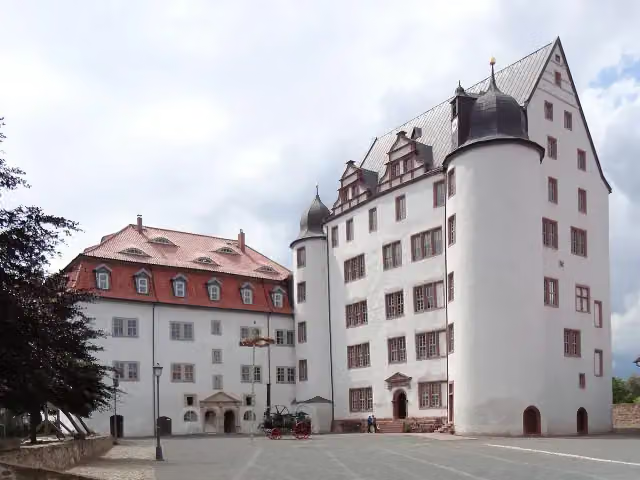
Schloß Heringen
30.5 kmAttraction
9.4 km · 7 benches
Cyriaci-Kapelle und Siechenhof
39.9 kmAttraction
690 m
Echter Nordhäuser Traditionsbrennerei
40.6 kmMuseum
5.3 km · 28 benches
Public toilet
45.9 km9.5 km · 6 benches
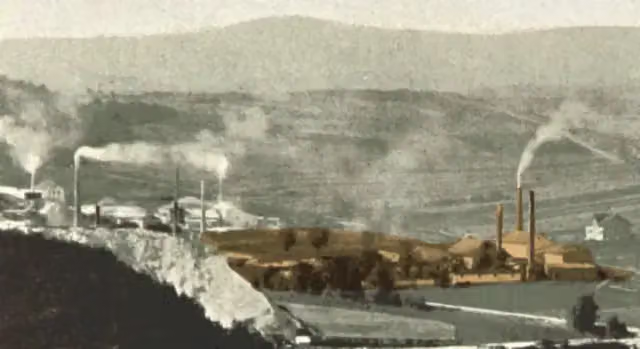
KZ-Außenlager Ellrich-Juliushütte
55.4 kmMemorial
3.8 km · 10 benches
ZisterzienserMuseum Kloster Walkenried
59.2 kmMuseum
22.3 km · 15 benches
Public toilet
81.4 km14.5 km · 11 benches
Observation tower
96 kmObservation tower
3.3 km · 12 benches
Water point
99.2 km857 m · 17 benches
Ruine der Harzburg
100.1 kmCastle
304 m
Kleine Harzburg
100.4 kmRuins
11.3 km · 81 benches
Finish
111.7 km
Longest stretch without a toilet: 43 kmBetween 2.8 km and 45.9 km there is no public toilet within 100 m of the route.
The route with the pitstops and sights within 100 m of it.
12 sights along the way
In the order you pass them. With the Outdoor Pitstop app you hear their story on the spot. 4 more along the route are on the map.
i
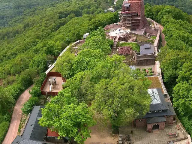
Photo: Reinhard Kirchner · Wikimedia Commons · CC BY-SA 3.0View the photo on Wikimedia CommonsCastle · after 0 m
Kyffhäuserdenkmal
Attraction · after 0 m
i
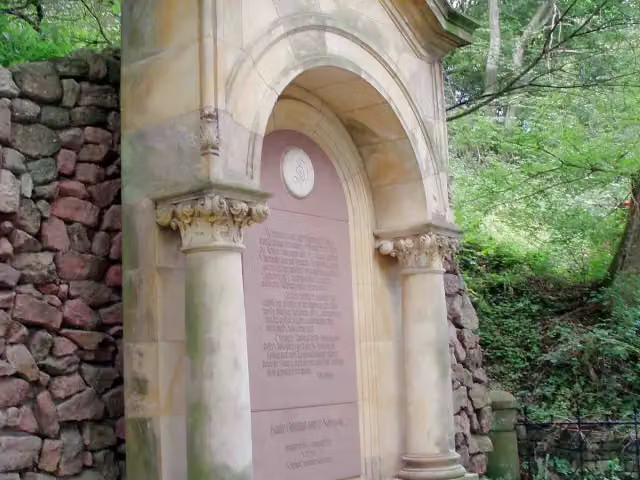
Photo: Benutzer:Hejkal · Wikimedia Commons · CC BY-SA 2.0 deView the photo on Wikimedia CommonsMemorial · after 6 m

Observation tower · after 311 m
i
Photo: GFHund · Wikimedia Commons · CC BY 4.0View the photo on Wikimedia CommonsAttraction · after 30.5 km
Attraction · after 39.9 km
Museum · after 40.6 km
Memorial · after 55.4 km
Elevation and terrain
- Up
- ↑ 1,842 m
- Down
- ↓ 1,965 m
- Highest point
- 875 m
- Lowest point
- 163 m
- 5-10% slope · 23 km
- 10-15% slope · 2.8 km
- 15-20% slope · 1.1 km
- 5 stairs
Elevation from Copernicus GLO-30 (European Union and ESA), smoothed.
produced using Copernicus WorldDEM-30 © DLR e.V. 2010-2014 and © Airbus Defence and Space GmbH 2014-2018 provided under COPERNICUS by the European Union and ESA; all rights reserved
Way types
111.7 km in total- Track: 70.8 km
- Path: 19.5 km
- Street: 9 km
- Road: 5.3 km
- Busy road: 3.2 km
- Footpath: 2.6 km
- Cycleway: 625 m
- Stairs: 5 stairs
Surfaces
111.7 km in total- Gravel: 55.5 km
- Unpaved: 16.7 km
- Asphalt: 12.3 km
- Paved: 5.8 km
- Natural: 5.2 km
- Unknown: 15.9 km
About the walking route Kaiserweg
Updated on 14 November 2026, with data from OpenStreetMap, the AHN and Copernicus.
Where do you walk?
Kaiserweg is a walking route of 111.7 km that starts in Kyffhäuserland. It does not end where it starts. Along the way you pass Reichsburg Kyffhausen (after 0 m), Kyffhäuserdenkmal (after 0 m) and Kaiser-Botschaft vom 17. Nov. 1881 (after 6 m).
How hard is the route?
You climb 1,842 m in total and descend 1,965 m. There are 5 flights of steps along the way. Allow ± 27:55 h, without breaks. The level is hard.
What paths do you walk on?
The longest part is track (70.8 km), path (19.5 km) and street (9 km). Of the surface, 55.5 km gravel and 16.7 km unpaved. For 15.9 km the surface is not known.
Pitstops along the way
Within 100 metres of the route there are 229 benches, 1 water point and 3 public toilets. You can fill your bottle after 99.2 km. The longest stretch without a toilet is 43 km. The Outdoor Pitstop app navigates you there.
Walks nearby
6- Feengrotten-Kyffhäuser-WegHard · From A to B248.5 km
- Hauptwanderweg Eisenach – Wernigerode (blaues Andreaskreuz)Hard · From A to B253.6 km
- Wege deutscher Kaiser und Könige des Mittelalters im HarzHard · From A to B274 km
- NordrandwegHard · From A to B17.9 km
- Harzklub Weg 41EEasy · From A to B3.9 km
- Barbarossaweg (Teilstück Friedrichslohra - Tilleda)Hard · From A to B66.5 km
Sights nearby
Within 10 km of the route, best known first.
- 1
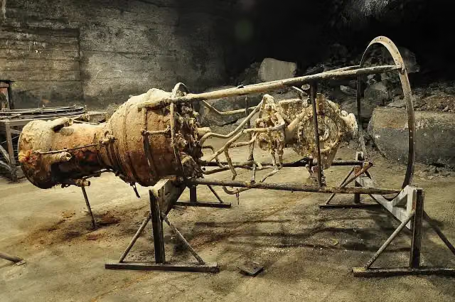 Mittelbau-Dora Concentration Camp MemorialMuseum · 125 m from the route
- 2
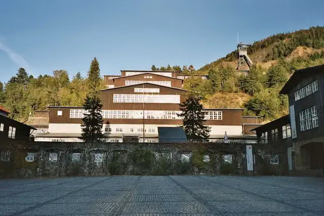 World Heritage Site RammelsbergMuseum · 2.2 km from the route
- 3
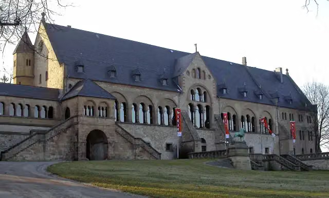 KaiserhausCastle · 1.3 km from the route
- 4
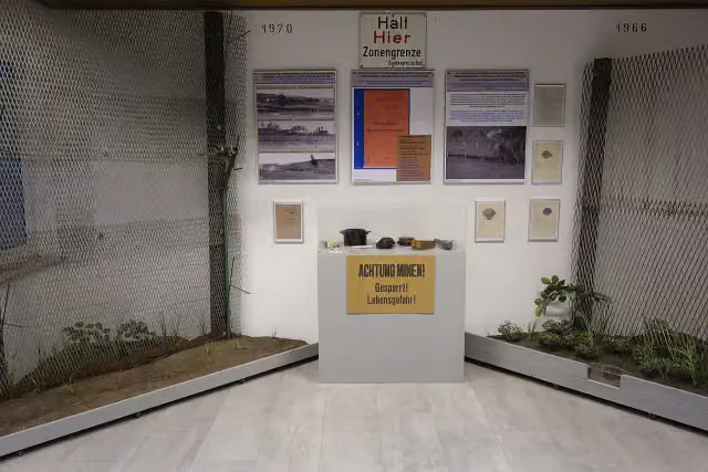 Grenzlandmuseum Bad SachsaMuseum · 4.5 km from the route
- 5
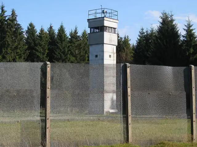 Grenzmuseum SorgeMuseum · 5.2 km from the route
- 6
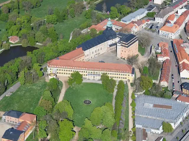 Schloss SondershausenAttraction · 6 km from the route
- 7
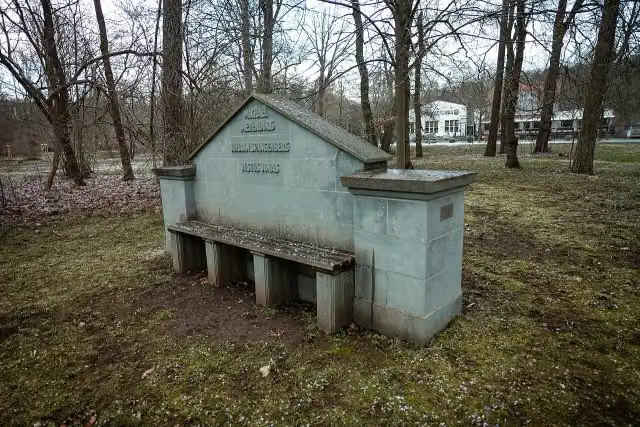 Reformatoren-BankMemorial · 112 m from the route
- 8
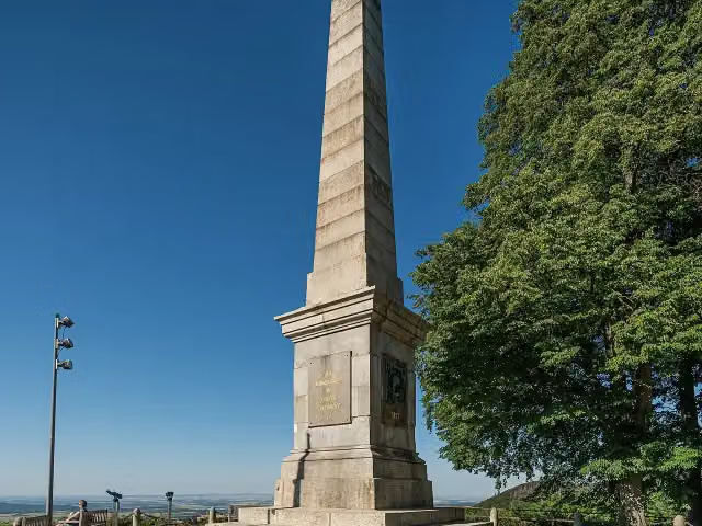 Canossa-SäuleMemorial · 116 m from the route
- 9
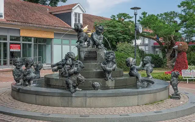 JungbrunnenAttraction · 160 m from the route
- 10
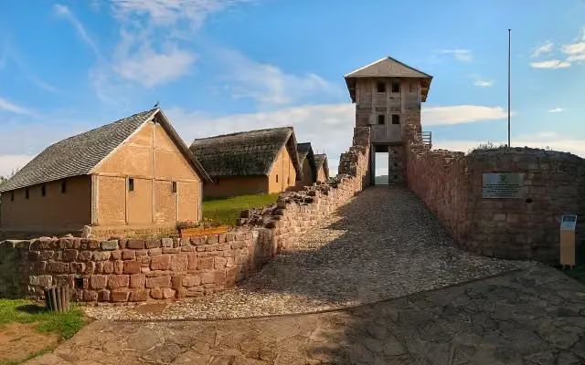 Freilichtmuseum Königspfalz TilledaMuseum · 256 m from the route
- 11
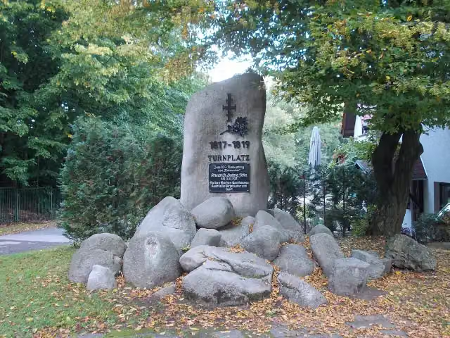 JahndenkmalMemorial · 294 m from the route
- 12
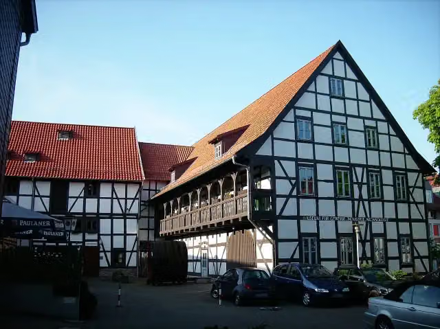 TabakspeicherMuseum · 316 m from the route
- 13
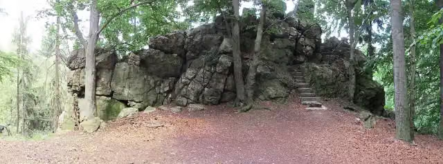 ElfensteinViewpoint · 339 m from the route
- 14
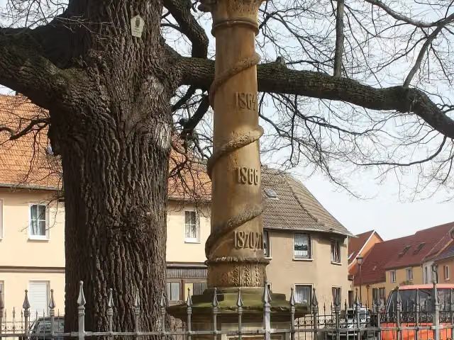 KriegerdenkmalMemorial · 364 m from the route
- 15
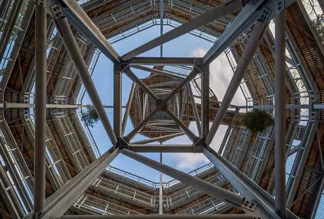 Baumwipfelpfad HarzAttraction · 397 m from the route
- 16
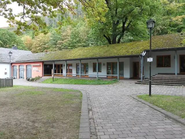 HarzWaldHaus (früher "Haus der Natur")Museum · 401 m from the route
- 17
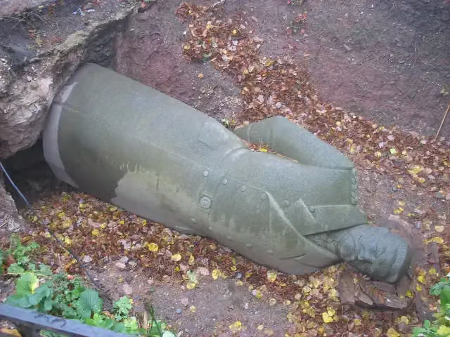 Paul von HindenburgMemorial · 402 m from the route
- 18
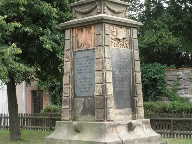 1.WKMemorial · 435 m from the route
- 19
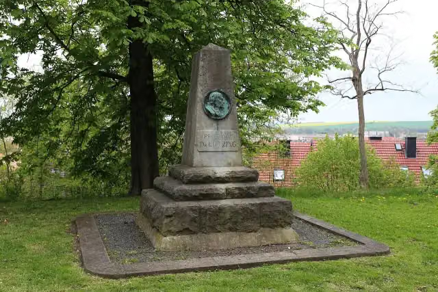 Prof. Dr. KützingMemorial · 452 m from the route
- 20
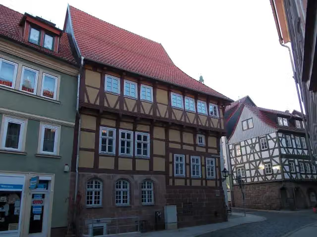 Flohburg - Das Nordhausen MuseumMuseum · 457 m from the route
- 21
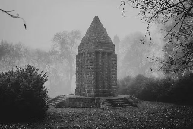 KriegerdenkmalMemorial · 496 m from the route
- 22
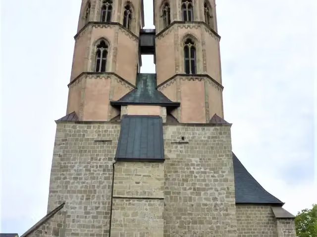 Sankt Blasii KircheAttraction · 509 m from the route
- 23
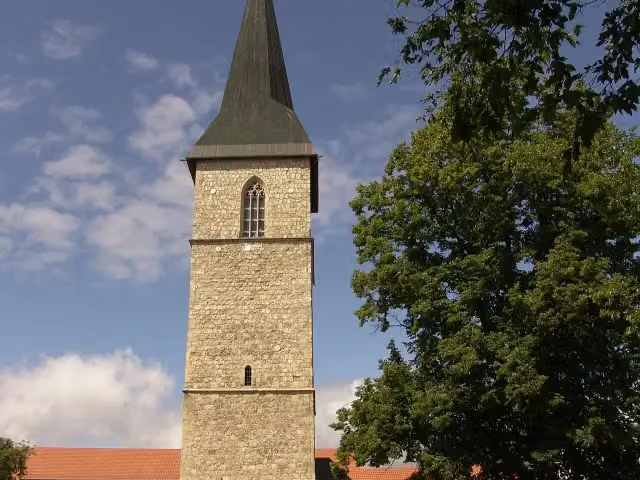 PetriturmViewpoint · 580 m from the route
- 24
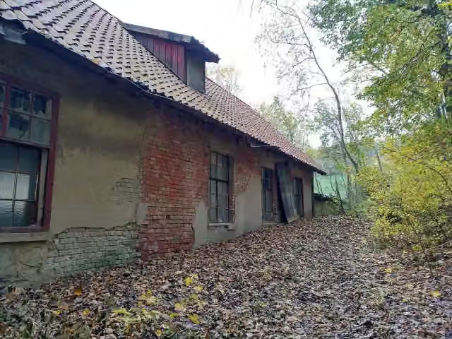 Hansa-LoreMemorial · 619 m from the route
- 25
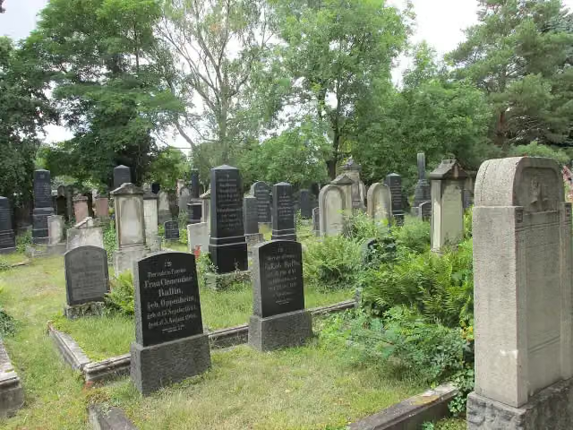 Jüdischer FriedhofMemorial · 707 m from the route
Explore more
More walks around Kyffhäuserland
More nearby
Frequently asked questions
How long is Kaiserweg?
Kaiserweg is 111.7 km long. Allow ± 27:55 h of walking: 4.5 km an hour and 10 minutes more per 100 metres of climbing, without breaks.
Is this route a circular walk?
No, the route starts and ends at different spots.
Where does this route start?
The route starts in Kyffhäuserland.
How hard is this route?
Hard, with 1,842 m of climbing.
Are there toilets along this route?
Yes, there are 3 public toilets within 100 m of the route. The longest stretch without a toilet is 43 km.
Can you fill up with water along this route?
Yes, there are 1 water point within 100 m of the route.
What is there to see along this route?
Along the way you pass Reichsburg Kyffhausen, Kyffhäuserdenkmal and Kaiser-Botschaft vom 17. Nov. 1881.
Can I download this route as a GPX file?
Yes. Sign in with your Outdoor Pitstop account and choose Download GPX at the top of this page: 10 routes a month for free, unlimited with Pro.
Starting point
More routes from this place
Route data © OpenStreetMap contributors





