 Outdoor Pitstop
Walking route · Bad Köstritz · Updated on 14 November 2026
[THW] Thüringenweg [Mitte-Ost - OSM-Teil2] walk
[THW] Thüringenweg [Mitte-Ost - OSM-Teil2] is a walk of 93 km from Bad Köstritz. Along the way you'll find 396 benches, 2 water fountains and refill points, 8 public toilets and 1 bike pump.
i
i
i
The route step by step
From start to finish, with what you pass along the way and the distance in between.
- 93 km
- ± 23:40 h
- ↑ 1,788 m · ↓ 1,643 m
- Hard
- From A to B
- Regional route
Start in Bad Köstritz
0 km2 km · 18 benches

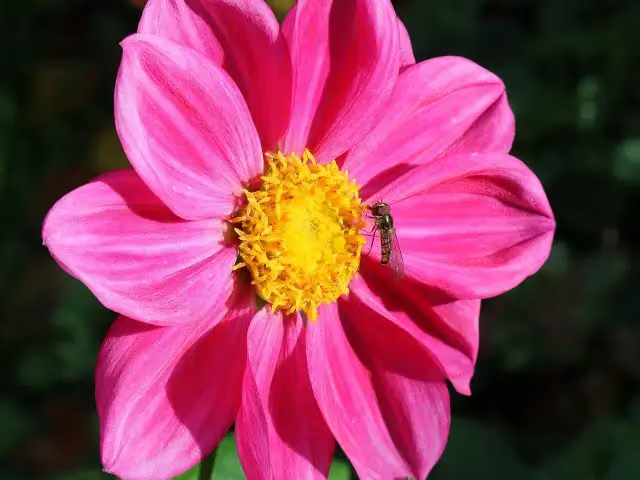
Dahlienbeete
2 kmAttraction
172 m
Dahlien-Zentrum Bad Köstritz and 1 more
2.2 kmSchloss
18.1 km · 34 benches
Milo-Barus Ausstellung
20.3 kmMuseum
22.6 km · 24 benches
Water point
42.9 km8.3 km · 42 benches
Burg Kirchberg and 1 more
51.2 kmFuchsturm and public toilet
1.9 km · 40 benches
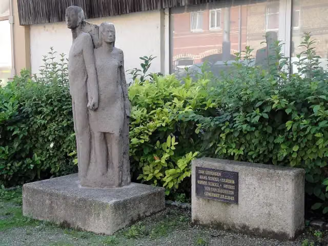
Geschwister Scholl
53.1 kmMemorial
265 m · 5 benches
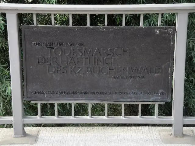
Gedenktafel an den Todesmarsch der Buchenwaldhäftlinge and 2 more
53.4 kmArmenischer Kreuzstein (Chatschkar) and 11. April 1945
326 m · 23 benches
Saaltor and 3 more
53.7 kmGeorg Wilhelm Friedrich Hegel, Friedrich Schiller and Zum Gedenken an die politisch Verfolgten in der sowjetischen Besatzungszone (SBZ) und in der DDR zwischen 1945 und 1989
179 m · 3 benches
Burschenschaftsdenkmal and 2 more
53.9 kmFriedrich Gottlob Schulze and Fritz Reuter
155 m · 29 benches
Lorenz Oken and 4 more
54 kmKarl Hase, Paul Johann Anselm Feuerbach, Jacob Friedrich Fries, Ernst Abbe and public toilet
152 m · 11 benches
Volkmar Stoy and 6 more
54.2 kmHeinrich Luden, Johann Wolfgang Döbereiner, Herrmann Schaeffer, Pulverturm, Johannistor, Eiszeitgedenkstein and public toilet
190 m · 23 benches
Gedenkstein zur Erinnerung an den Evakuierungsmarsch der Häftlinge des KZ Buchenwald and 2 more
54.4 kmGedenktafel an den Todesmarsch der Buchenwaldhäftlinge and Grabmal Johann Wolfgang Döbereiner
263 m · 19 benches
Public toilet
54.6 km849 m · 25 benches
Landgrafenturm
55.5 kmObservation tower
461 m · 18 benches
Die Deutschen Blinker
56 kmMemorial
941 m · 4 benches
Carl Uhlitzsch
56.9 kmMemorial
680 m · 10 benches
Bike pump
57.6 km6.5 km · 5 benches
Public toilet
64 km11.5 km · 15 benches
Carolinenturm
75.6 kmPublic toilet
7.6 km · 24 benches
Public toilet
83.2 km589 m · 3 benches
Paulinenturm
83.8 kmObservation tower
1.2 km · 14 benches
Public toilet and water point
85 km8 km · 7 benches
Finish
93 km
Longest stretch without a toilet: 51.2 kmBetween 0 km and 51.2 km there is no public toilet within 100 m of the route.
The route with the pitstops and sights within 100 m of it.
37 sights along the way
In the order you pass them. With the Outdoor Pitstop app you hear their story on the spot. 29 more along the route are on the map.

Attraction · after 2 km
i
Photo: JackyM59 · Wikimedia Commons · CC BY 4.0View the photo on Wikimedia CommonsMuseum · after 2.2 km
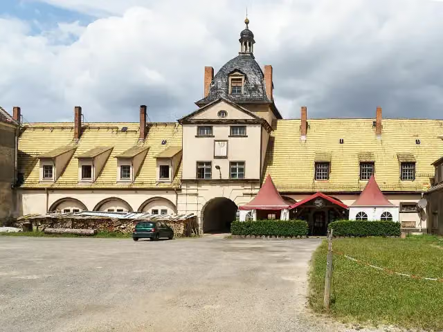
i
Photo: Radler59 · Wikimedia Commons · CC BY-SA 4.0View the photo on Wikimedia CommonsAttraction · after 2.2 km
Museum · after 20.3 km
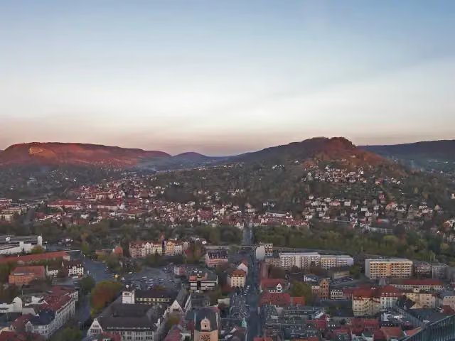
i
Photo: Jose Manuel Segovia, Jena, Germany · Wikimedia Commons · CC BY-SA 2.0View the photo on Wikimedia CommonsCastle · after 51.2 km
Viewpoint · after 51.3 km
i
Photo: Reise Reise · Wikimedia Commons · CC BY-SA 4.0View the photo on Wikimedia CommonsMemorial · after 53.1 km
i
Photo: Reise Reise · Wikimedia Commons · CC BY-SA 4.0View the photo on Wikimedia CommonsMemorial · after 53.4 km
Elevation and terrain
- Up
- ↑ 1,788 m
- Down
- ↓ 1,643 m
- Highest point
- 495 m
- Lowest point
- 148 m
- 5-10% slope · 18.2 km
- 10-15% slope · 4.2 km
- 15-20% slope · 1.4 km
- 12 stairs
Elevation from Copernicus GLO-30 (European Union and ESA), smoothed.
produced using Copernicus WorldDEM-30 © DLR e.V. 2010-2014 and © Airbus Defence and Space GmbH 2014-2018 provided under COPERNICUS by the European Union and ESA; all rights reserved
Way types
93 km in total- Track: 57.1 km
- Path: 23.4 km
- Street: 7.2 km
- Road: 2.6 km
- Busy road: 1.4 km
- Stairs: 12 stairs
- Footpath: 300 m
Surfaces
93 km in total- Gravel: 40.1 km
- Unpaved: 24.7 km
- Asphalt: 16.2 km
- Natural: 6.5 km
- Paved: 1.4 km
- Unknown: 3.8 km
About the walking route [THW] Thüringenweg [Mitte-Ost - OSM-Teil2]
Updated on 14 November 2026, with data from OpenStreetMap, the AHN and Copernicus.
Where do you walk?
[THW] Thüringenweg [Mitte-Ost - OSM-Teil2] is a walking route of 93 km that starts in Bad Köstritz. It does not end where it starts. You start in Bad Köstritz and finish in Blankenhain. Along the way you pass Dahlienbeete (after 2 km), Dahlien-Zentrum Bad Köstritz (after 2.2 km) and Schloss (after 2.2 km).
How hard is the route?
You climb 1,788 m in total and descend 1,643 m. There are 12 flights of steps along the way. Allow ± 23:40 h, without breaks. The level is hard.
What paths do you walk on?
The longest part is track (57.1 km), path (23.4 km) and street (7.2 km). Of the surface, 40.1 km gravel and 24.7 km unpaved. For 3.8 km the surface is not known.
Pitstops along the way
Within 100 metres of the route there are 396 benches, 2 water fountains and refill points, 8 public toilets and 1 bike pump. You can fill your bottle after 42.9 km and after 85 km. The longest stretch without a toilet is 51.2 km. The Outdoor Pitstop app navigates you there.
Part of Thüringenweg
Walks nearby
2Sights nearby
Within 10 km of the route, best known first.
- 1
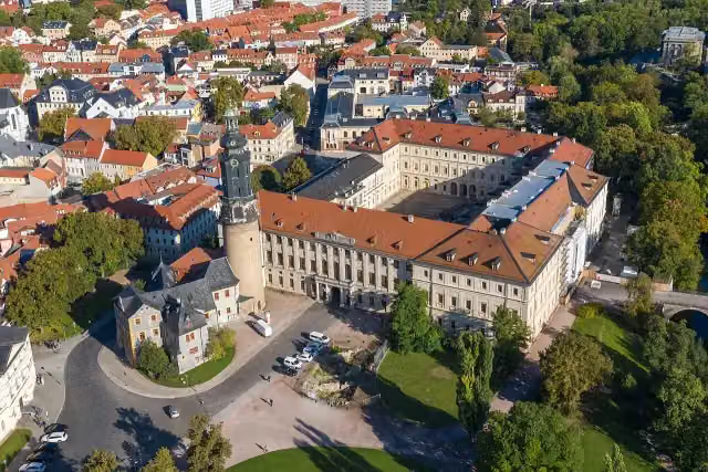 StadtschlossCastle · 6.6 km from the route
- 2
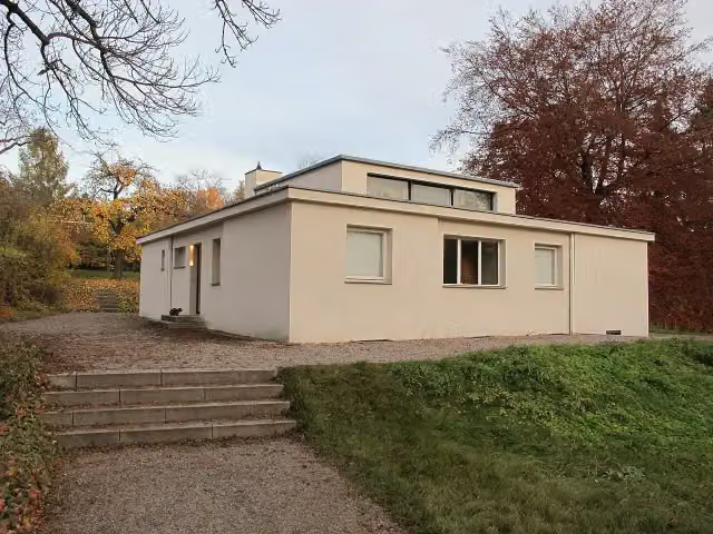 Haus am HornAttraction · 5.9 km from the route
- 3
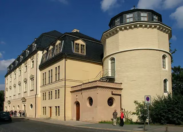 Duchess Anna Amalia LibraryAttraction · 6.4 km from the route
- 4
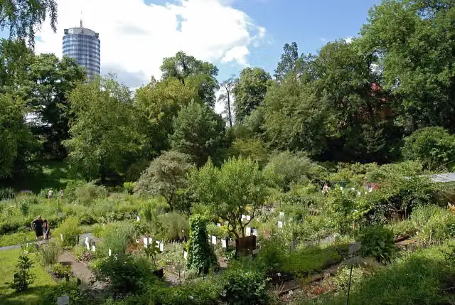 Botanical GardenAttraction · 105 m from the route
- 5
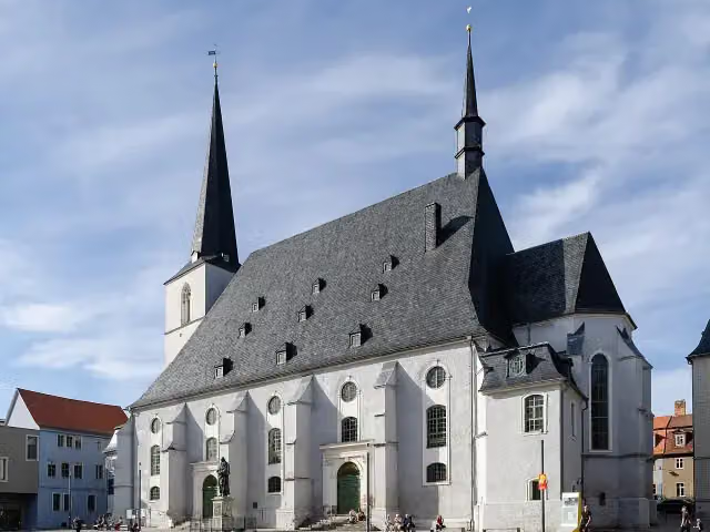 Stadtkirche St. Peter und PaulAttraction · 6.7 km from the route
- 6
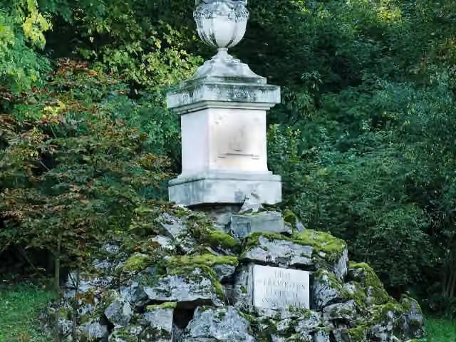 Gedenkstein für Prinz Leopold von Braunschweig-Wolfenbüttel (Weimar)Memorial · 8.3 km from the route
- 7
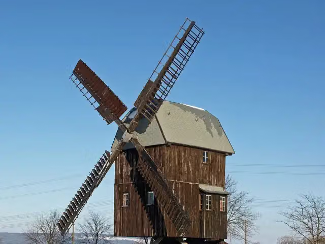 Windmill BechstedtstraßAttraction · 8.5 km from the route
- 8
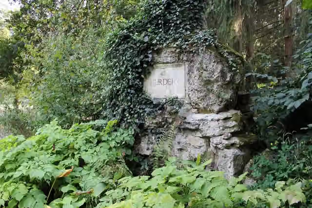 HerderdenkmalMemorial · 8.5 km from the route
- 9
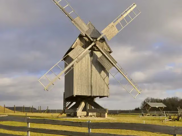 Windmill KlettbachAttraction · 9.1 km from the route
- 10
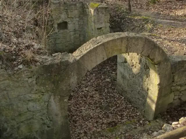 Burg WintbergArchaeological site · 110 m from the route
- 11
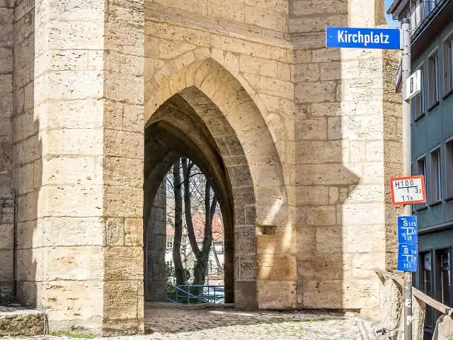 Hinter der KircheAttraction · 112 m from the route
- 12
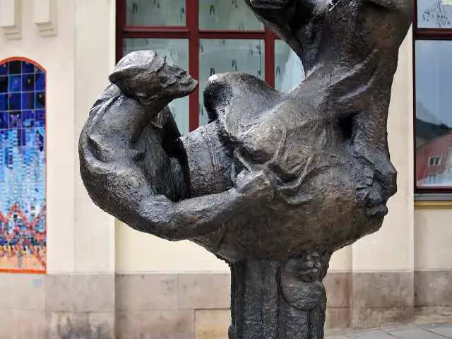 Ergo BibamusMemorial · 116 m from the route
- 13
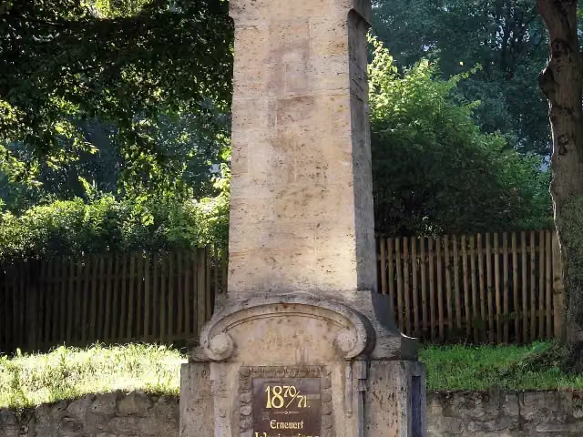 Für die Gefallenen des ersten und zweiten WeltkriegesMemorial · 116 m from the route
- 14
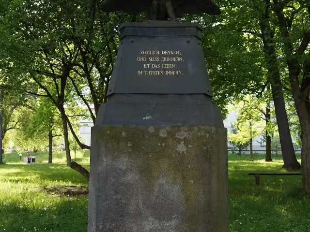 Goethe-Denkmal 1821Memorial · 148 m from the route
- 15
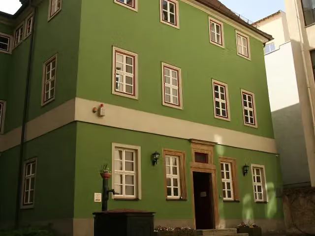 RomantikerhausMuseum · 167 m from the route
- 16
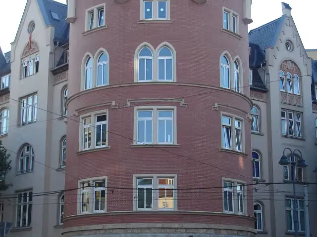 Roter TurmAttraction · 177 m from the route
- 17
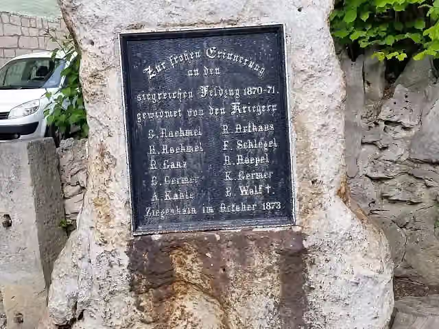 MemorialMemorial · 177 m from the route
- 18
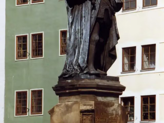 HanfriedAttraction · 182 m from the route
- 19
 Zeiss-PlanetariumAttraction · 190 m from the route
- 20
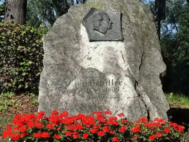 Schiller-GedenksteinMonument · 249 m from the route
- 21
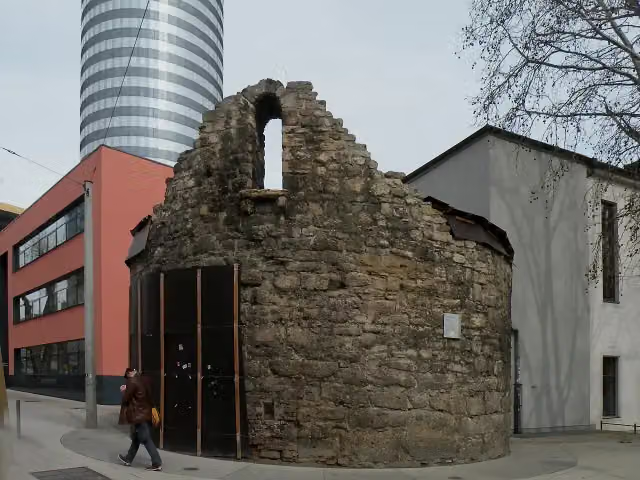 AnatomieturmAttraction · 256 m from the route
- 22
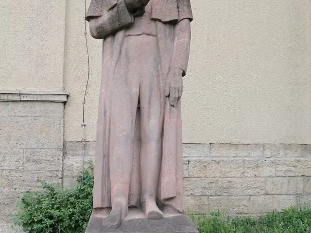 J. W. DoebereinerMemorial · 292 m from the route
- 23
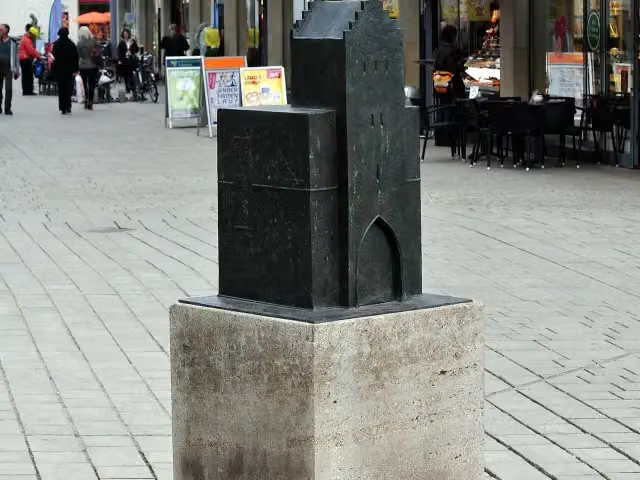 LöbdertorMemorial · 313 m from the route
- 24
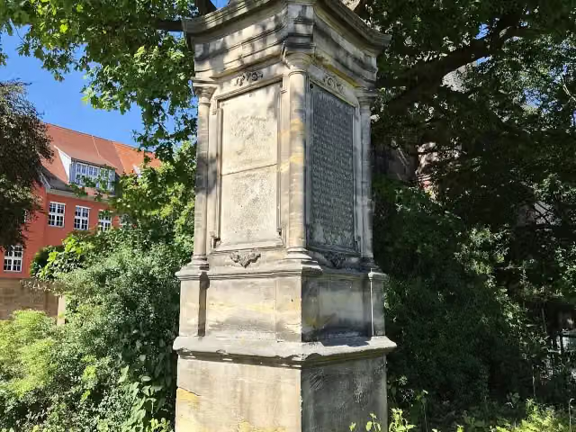 MemorialMemorial · 322 m from the route
- 25
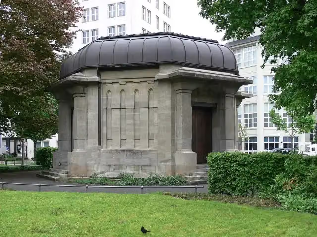 Ernst-Abbe-DenkmalAttraction · 337 m from the route
Explore more
More walks around Bad Köstritz
Frequently asked questions
How long is [THW] Thüringenweg [Mitte-Ost - OSM-Teil2]?
[THW] Thüringenweg [Mitte-Ost - OSM-Teil2] is 93 km long. Allow ± 23:40 h of walking: 4.5 km an hour and 10 minutes more per 100 metres of climbing, without breaks.
Is this route a circular walk?
No, the route runs from Bad Köstritz to Blankenhain.
Where does this route start?
The route starts in Bad Köstritz.
How hard is this route?
Hard, with 1,788 m of climbing.
Are there toilets along this route?
Yes, there are 8 public toilets within 100 m of the route. The longest stretch without a toilet is 51.2 km.
Can you fill up with water along this route?
Yes, there are 2 water fountains and refill points within 100 m of the route.
What is there to see along this route?
Along the way you pass Dahlienbeete, Dahlien-Zentrum Bad Köstritz and Schloss.
Can I download this route as a GPX file?
Yes. Sign in with your Outdoor Pitstop account and choose Download GPX at the top of this page: 10 routes a month for free, unlimited with Pro.
Starting point
More routes from this place
Route data © OpenStreetMap contributors





