 Outdoor Pitstop
Walking route · Issigau · Updated on 14 November 2026
Frankenweg walk
Frankenweg is a walk of 523.9 km from Issigau. Along the way you'll find 892 benches, 12 water fountains and refill points, 49 public toilets, 2 bike pumps and 2 honesty boxes and farm vending machines.
i
i
The route step by step
From start to finish, with what you pass along the way and the distance in between.
- 523.9 km
- ± 16:40 h per stage
- ↑ 10,001 m · ↓ 10,247 m
- Hard per stage
- From A to B
- National route
Pick a stage to see the pitstops per kilometre. Along the way you'll find 892 benches, 12 water fountains and refill points, 49 public toilets, 2 bike pumps and 2 honesty boxes and farm vending machines.
Follow these steps in the appThe route with the water points, toilets and sights within 100 m of it.
47 sights along the way
In the order you pass them. With the Outdoor Pitstop app you hear their story on the spot. 39 more along the route are on the map.

Memorial
i
Photo: Muck · Wikimedia Commons · CC BY-SA 4.0View the photo on Wikimedia CommonsObservation tower
i
Photo: Albert Backer, FatAlbert at de.wikipedia · Wikimedia Commons · CC BY-SA 3.0 deView the photo on Wikimedia CommonsObservation tower
i
Photo: Störfix · Wikimedia Commons · CC BY-SA 3.0View the photo on Wikimedia CommonsAttraction
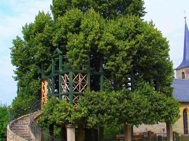
i
Photo: Benreis · Wikimedia Commons · CC BY-SA 3.0View the photo on Wikimedia CommonsAttraction
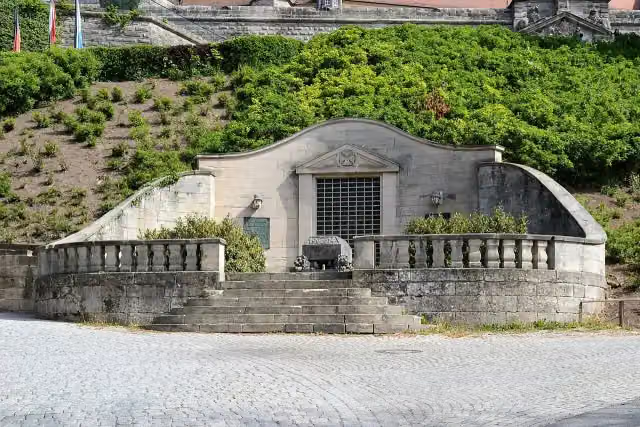
Memorial
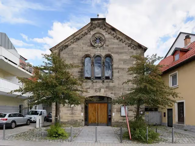
i
Photo: Tors · Wikimedia Commons · CC BY-SA 3.0 deView the photo on Wikimedia CommonsMuseum
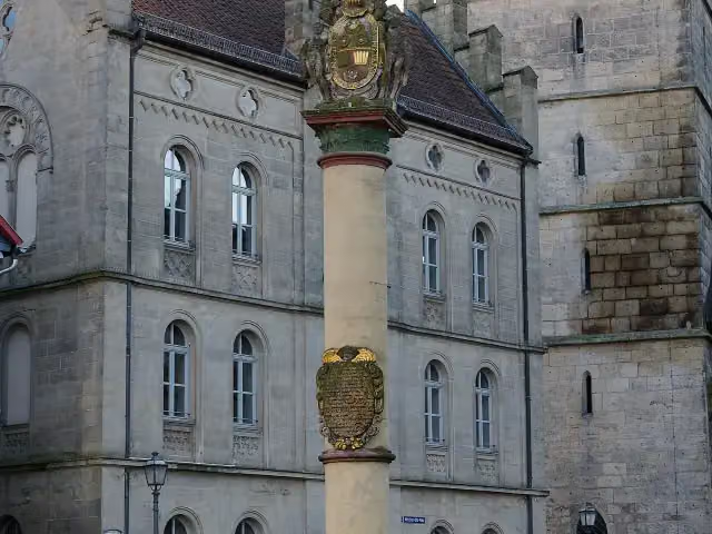
i
Photo: Tors · Wikimedia Commons · CC BY-SA 3.0 deView the photo on Wikimedia CommonsMemorial
Stages (8)
Elevation and terrain
- Up
- ↑ 10,001 m
- Down
- ↓ 10,247 m
- Highest point
- 787 m
- Lowest point
- 294 m
- 5-10% slope · 103.1 km
- 10-15% slope · 23 km
- 15-20% slope · 4.5 km
- 20% slope or steeper · 2.8 km
- 68 stairs
Elevation from Copernicus GLO-30 (European Union and ESA), smoothed.
produced using Copernicus WorldDEM-30 © DLR e.V. 2010-2014 and © Airbus Defence and Space GmbH 2014-2018 provided under COPERNICUS by the European Union and ESA; all rights reserved
Way types
523.9 km in total- Track: 327 km
- Path: 104.8 km
- Street: 44.6 km
- Road: 28.9 km
- Footpath: 7.4 km
- Busy road: 4.3 km
- Stairs: 68 stairs
- Cycleway: 775 m
Surfaces
523.9 km in total- Gravel: 141.4 km
- Unpaved: 135.5 km
- Asphalt: 66.7 km
- Natural: 21.6 km
- Paved: 9.7 km
- Unknown: 146.7 km
About the walking route Frankenweg
Updated on 14 November 2026, with data from OpenStreetMap, the AHN and Copernicus.
Where do you walk?
Frankenweg is a walking route of 523.9 km that starts in Issigau. It does not end where it starts. You start in Untereichenstein, Oberfranken and finish in Harburg, Schwaben.
How hard is the route?
You climb 10,001 m in total and descend 10,247 m. There are 68 flights of steps along the way. Allow ± 16:40 h per stage, without breaks. Per stage the level is hard.
What paths do you walk on?
The longest part is track (327 km), path (104.8 km) and street (44.6 km). Of the surface, 141.4 km gravel and 135.5 km unpaved. For 146.7 km the surface is not known.
Pitstops along the way
Within 100 metres of the route there are 892 benches, 12 water fountains and refill points, 49 public toilets, 2 bike pumps and 2 honesty boxes and farm vending machines. The Outdoor Pitstop app navigates you there.
The Frankenweg is a 524 km long-distance trail through Franconia, from Untereichenstein in the Franconian Forest on the Thuringian border to Harburg on the eastern edge of the Swabian Jura. Opened in 2004, it was the first long-distance trail to receive the German quality trail certificate and is divided into eight parts. Through the Franconian Forest it runs via Kronach to Kulmbach, then through Franconian Switzerland past Gößweinstein and the Teufelshöhle cave, and on across the Franconian Jura. Almost two thirds is on farm and forest tracks. We know of 49 toilets on the way, but drinking water at only 12 places.
Source: Wikipedia (CC BY-SA)
Walks nearby
6- Grünes Band - Ost- und SüdthüringenHard · From A to B103.8 km
- HumboldtwegHard · Circular walk20.8 km
- RennsteigHard · From A to B169.4 km
- Wanderweg der Deutschen Einheit ( Hof - Neustadt am Rennsteig )Hard · From A to B108.4 km
- Fränkischer Gebirgsweg Teil 1Hard · From A to B70.3 km
- Kammweg Erzgebirge - Vogtland (West)Hard · From A to B152.8 km
Sights nearby
Within 10 km of the route, best known first.
- 1
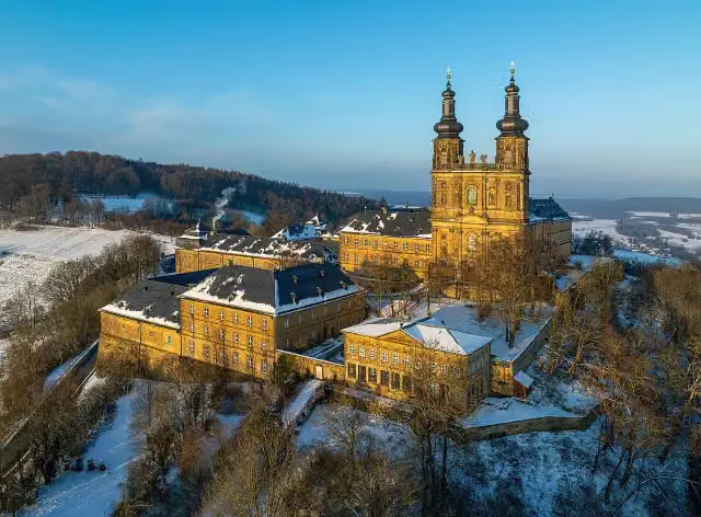 Kloster BanzAttraction · 4.7 km from the route
- 2
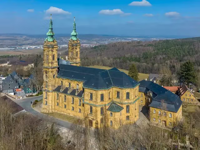 Basilika VierzehnheiligenAttraction · 686 m from the route
- 3
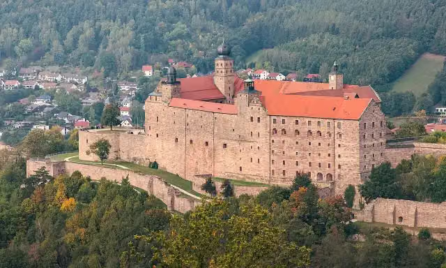 PlassenburgAttraction · 1.6 km from the route
- 4
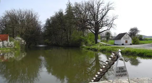 Fossa CarolinaAttraction · 1.6 km from the route
- 5
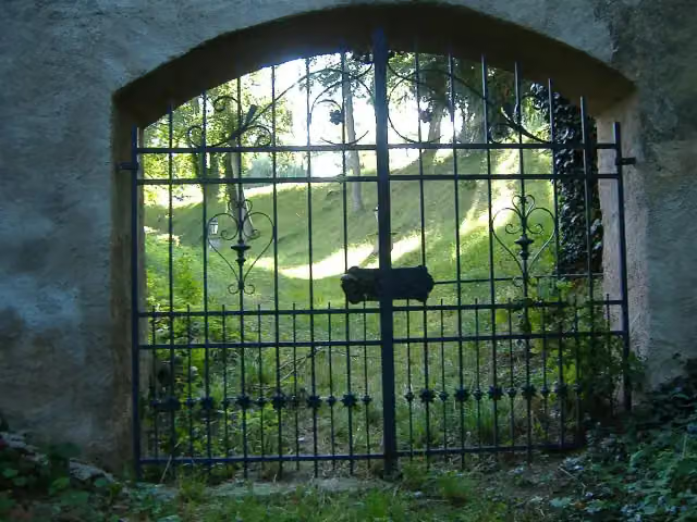 Schloss LierheimCastle · 6.6 km from the route
- 6
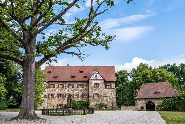 Schloss KunreuthCastle · 7.5 km from the route
- 7
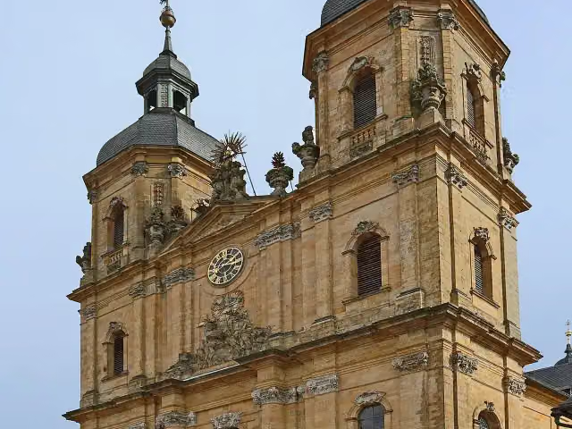 Basilika zur Heiligsten DreifaltigkeitAttraction · 104 m from the route
- 8
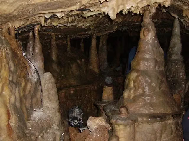 BinghöhleAttraction · 104 m from the route
- 9
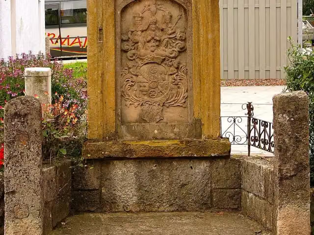 MemorialMemorial · 112 m from the route
- 10
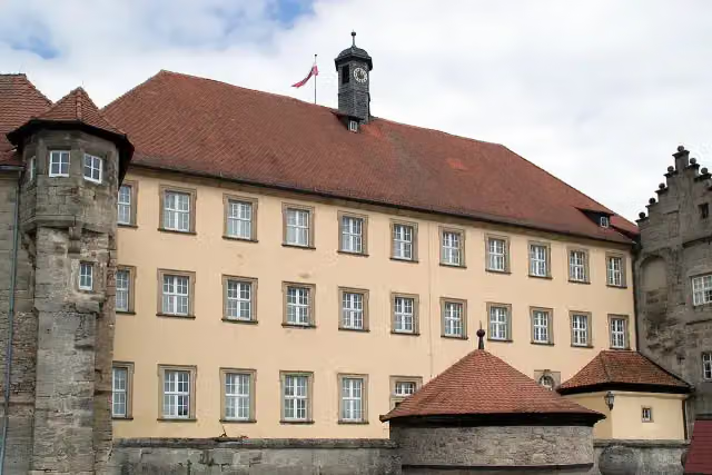 Fränkische GalerieMuseum · 113 m from the route
- 11
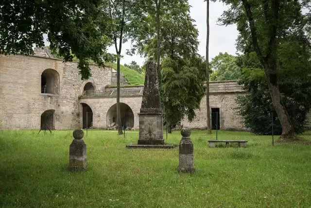 KriegerdenkmalMemorial · 115 m from the route
- 12
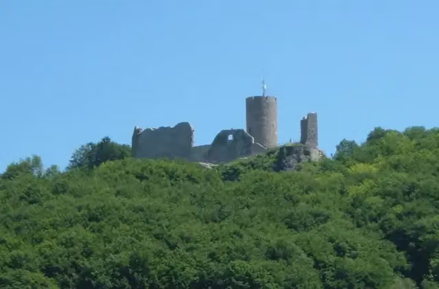 Burgruine WolfsteinAttraction · 119 m from the route
- 13
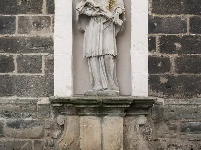 MemorialMemorial · 121 m from the route
- 14
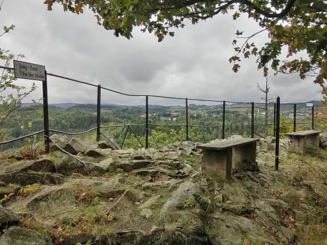 König DavidViewpoint · 133 m from the route
- 15
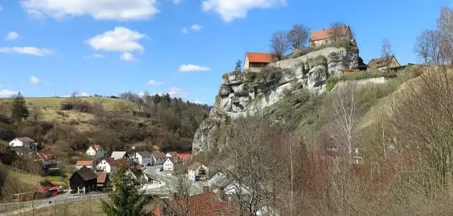 Burg PottensteinAttraction · 134 m from the route
- 16
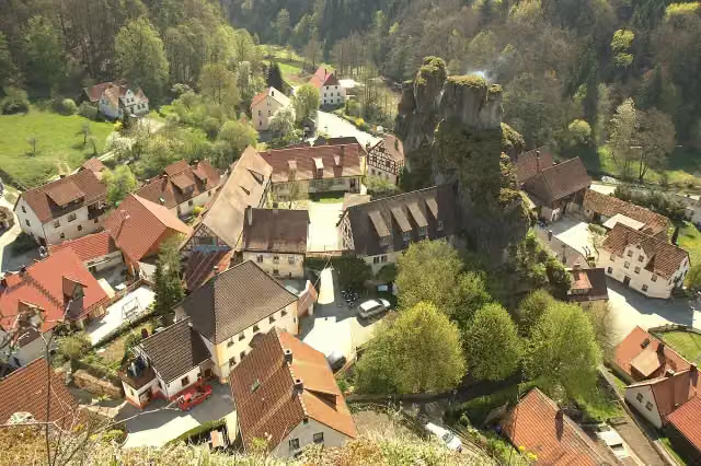 CastleCastle · 136 m from the route
- 17
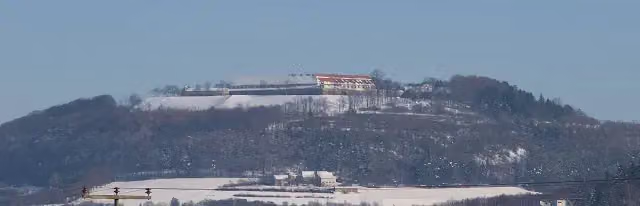 WülzburgAttraction · 136 m from the route
- 18
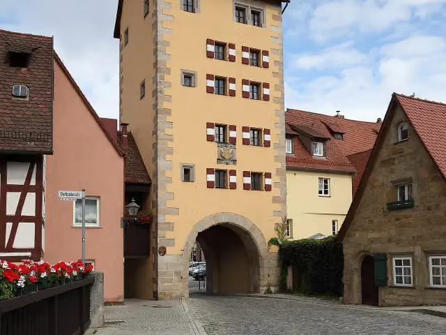 WassertorAttraction · 137 m from the route
- 19
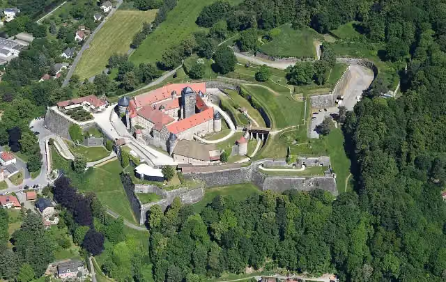 Festung RosenbergAttraction · 143 m from the route
- 20
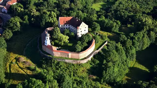 Schloss SpielbergCastle · 145 m from the route
- 21
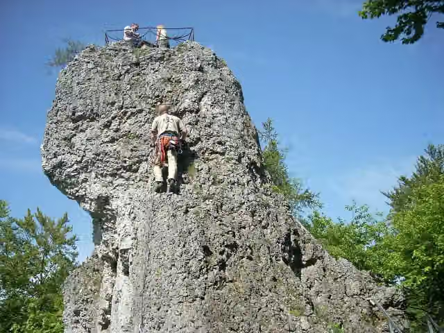 SignalsteinViewpoint · 147 m from the route
- 22
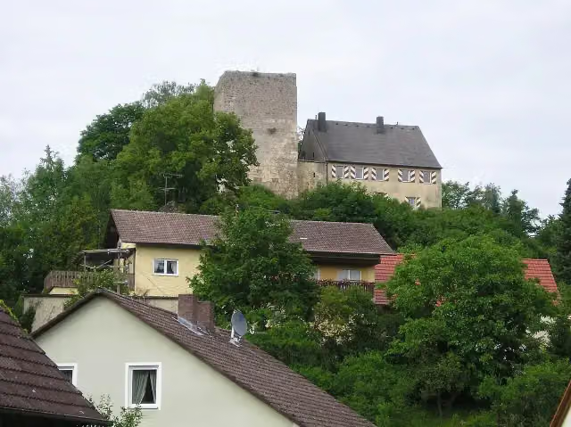 Burgruine ThuisbrunnCastle · 154 m from the route
- 23
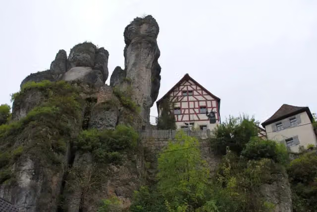 Fränkische-Schweiz-MuseumMuseum · 155 m from the route
- 24
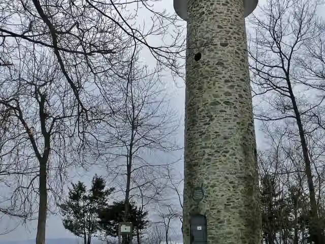 WiedeturmObservation tower · 156 m from the route
- 25
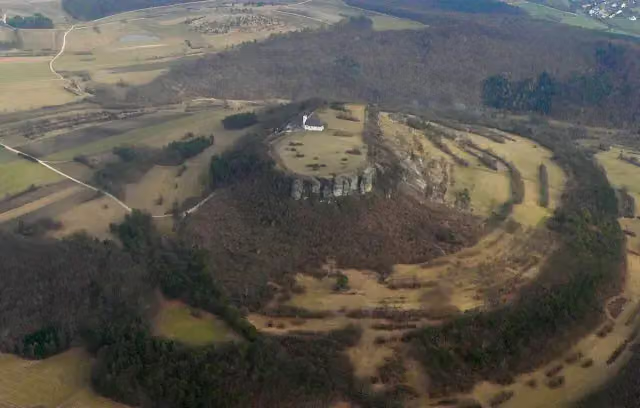 StaffelbergArchaeological site · 180 m from the route
Explore more
More walks around Issigau
Frequently asked questions
How long is Frankenweg?
Frankenweg is 523.9 km long, in 8 parts of 65.5 km on average. Allow ± 16:40 h per part of walking: 4.5 km an hour and 10 minutes more per 100 metres of climbing, without breaks.
Is this route a circular walk?
No, the route runs from Untereichenstein, Oberfranken to Harburg, Schwaben.
Where does this route start?
The route starts in Issigau.
How hard is this route?
Hard per stage, with 1,250 m per stage of climbing.
Are there toilets along this route?
Yes, there are 49 public toilets within 100 m of the route.
Can you fill up with water along this route?
Yes, there are 12 water fountains and refill points within 100 m of the route.
What is there to see along this route?
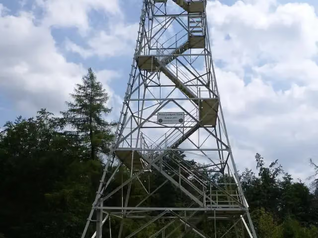
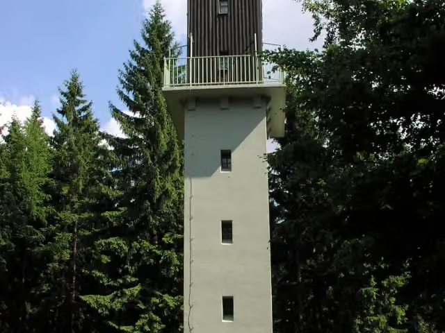
Along the way you pass Drehkreuz des Wanderns, Prinz-Luitpold-Turm and Radspitzturm.
Can I download this route as a GPX file?
Yes. Sign in with your Outdoor Pitstop account and choose Download GPX at the top of this page: 10 routes a month for free, unlimited with Pro.
Starting point
More routes from this place
Route data © OpenStreetMap contributors





