 Outdoor Pitstop
Walking route · Horb am Neckar · Updated on 14 November 2026
Jakobswege Schwarzwald-Alb walk
Jakobswege Schwarzwald-Alb is a walk of 488.2 km from Horb am Neckar. Along the way you'll find 917 benches, 19 water fountains and refill points, 25 public toilets, 2 bike pumps and 4 honesty boxes and farm vending machines.
i
i
i
The route step by step
From start to finish, with what you pass along the way and the distance in between.
- 488.2 km
- From A to B
- National route
Pick a stage to see the pitstops per kilometre. Along the way you'll find 917 benches, 19 water fountains and refill points, 25 public toilets, 2 bike pumps and 4 honesty boxes and farm vending machines.
Follow these steps in the appThe route with the water points, toilets and sights within 100 m of it.
24 sights along the way
In the order you pass them. With the Outdoor Pitstop app you hear their story on the spot. 16 more along the route are on the map.
i
Photo: Carsten Steger · Wikimedia Commons · CC BY-SA 4.0View the photo on Wikimedia CommonsMuseum
i
Photo: Afr66 · Wikimedia Commons · CC BY-SA 3.0View the photo on Wikimedia CommonsRuins
i
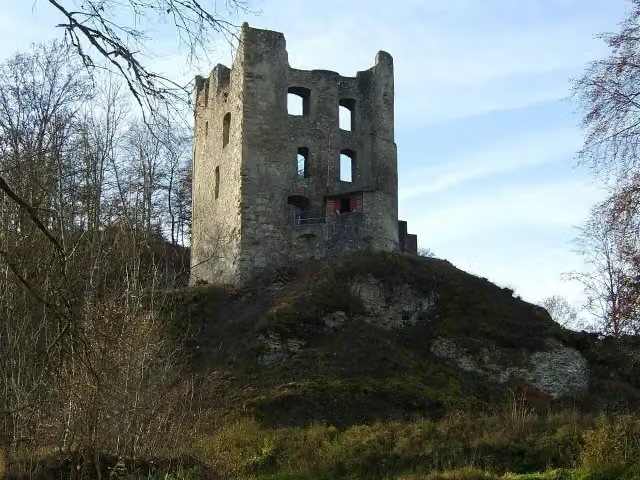
Photo: Rainer Halama · Wikimedia Commons · CC BY-SA 3.0View the photo on Wikimedia CommonsCastle
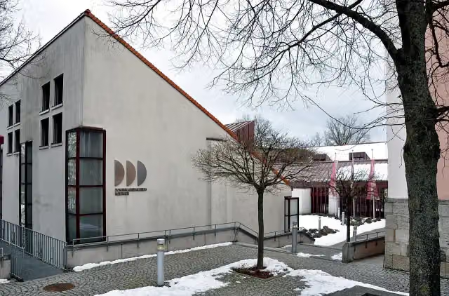
i
Photo: Photo: Andreas Praefcke · Wikimedia Commons · CC BY 3.0View the photo on Wikimedia CommonsMuseum
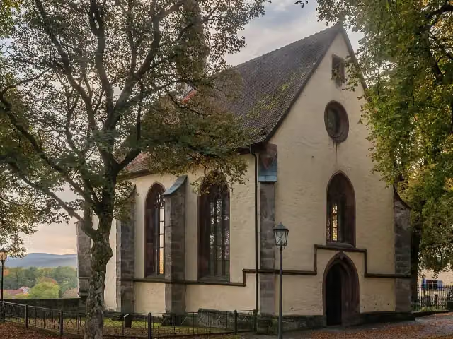
i
Photo: Krzysztof Golik · Wikimedia Commons · CC BY-SA 4.0View the photo on Wikimedia CommonsMuseum
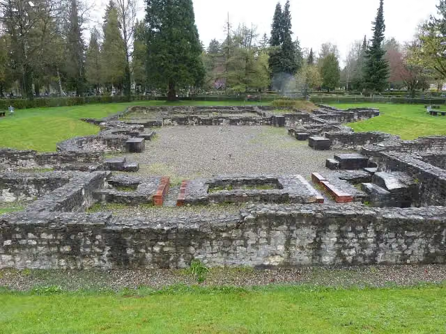
i
Photo: Mogadir · Wikimedia Commons · CC BY-SA 3.0View the photo on Wikimedia CommonsArchaeological site
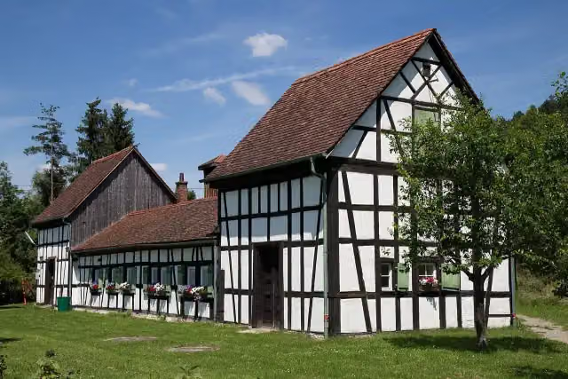
i
Photo: Stefan Karl · Wikimedia Commons · CC BY-SA 4.0View the photo on Wikimedia CommonsMuseum
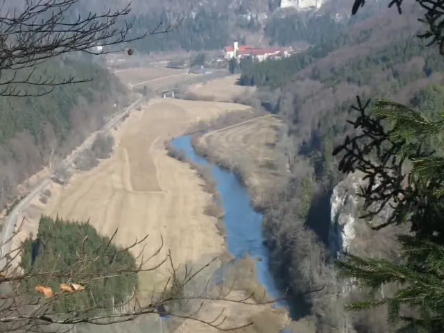
i
Photo: upload by Adrian Michael · Wikimedia Commons · CC BY-SA 3.0View the photo on Wikimedia CommonsViewpoint
Stages (8)
About the walking route Jakobswege Schwarzwald-Alb
Updated on 14 November 2026, with data from OpenStreetMap, the AHN and Copernicus.
Where do you walk?
Jakobswege Schwarzwald-Alb is a walking route of 488.2 km that starts in Horb am Neckar. It does not end where it starts.
Pitstops along the way
Within 100 metres of the route there are 917 benches, 19 water fountains and refill points, 25 public toilets, 2 bike pumps and 4 honesty boxes and farm vending machines. The Outdoor Pitstop app navigates you there.
Part of Jakobswege Baden-Württemberg
Website of the routeWalks nearby
6- Himmelreich-JakobuswegHard · From A to B188.8 km
- Zähringer-WanderwegHard · From A to B77 km
- Kandel-Höhenweg [05. St. Peter→Freiburg]Moderate · From A to B17.9 km
- Kandel-Höhenweg [04. Waldkirch→St. Peter]Hard · From A to B17.3 km
- Kirchzarten - FeldbergHard · From A to B17.3 km
- Breisgauer WeinwegHard · From A to B98.5 km
Sights nearby
Within 10 km of the route, best known first.
- 1
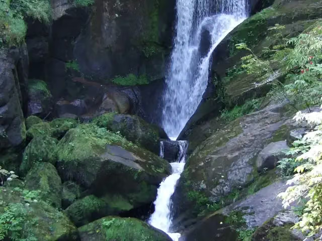 Triberger WasserfälleAttraction · 7.8 km from the route
- 2
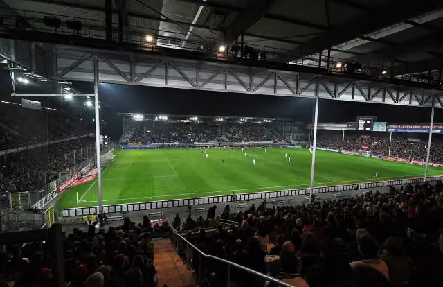 DreisamstadionAttraction · 8.7 km from the route
- 3
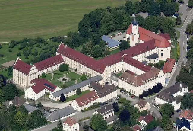 Kloster BeuronAttraction · 2 km from the route
- 4
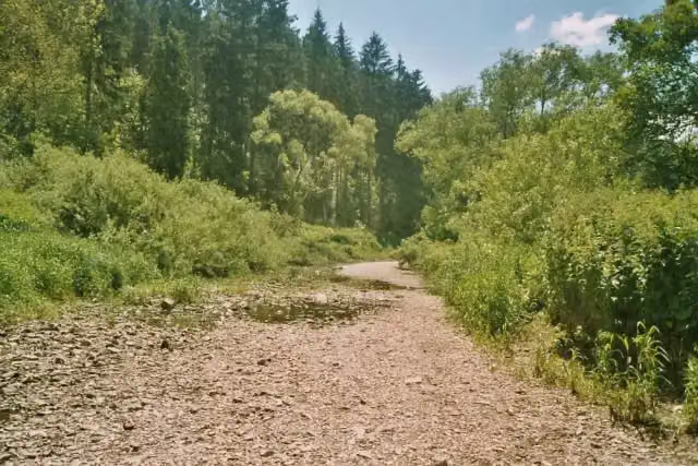 DonauversinkungAttraction · 3.4 km from the route
- 5
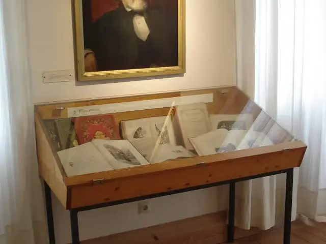 Berthold-Auerbach-MuseumMuseum · 5.5 km from the route
- 6
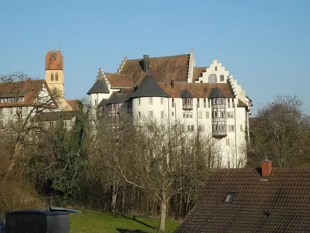 Schloss BlumenfeldCastle · 6.2 km from the route
- 7
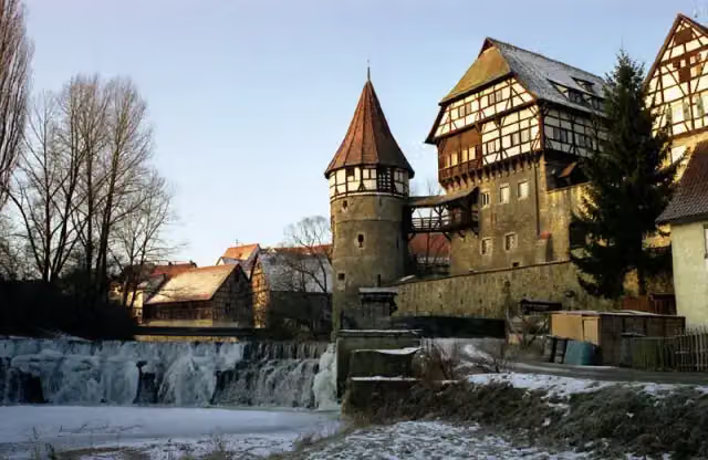 Zollernschloss BalingenCastle · 8.9 km from the route
- 8
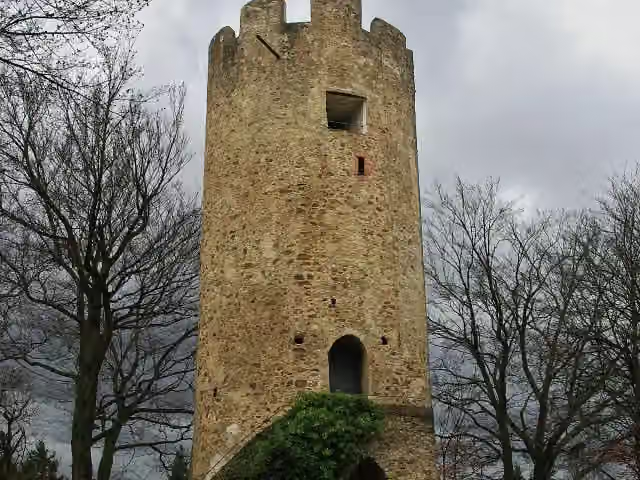 Zähringer BurgAttraction · 9.7 km from the route
- 9
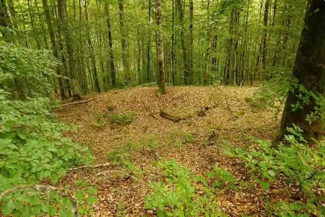 Ruine AltfridingenCastle · 84 m from the route
- 10
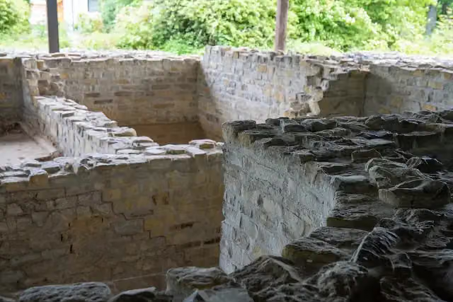 Römischer GutshofAttraction · 116 m from the route
- 11
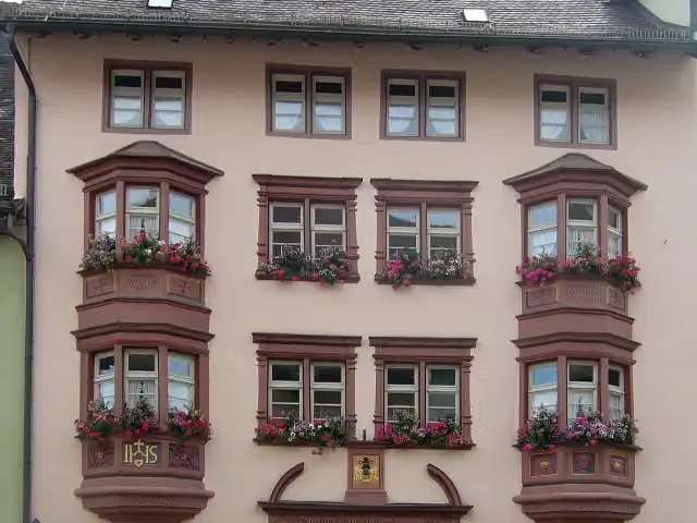 Stadtmuseum RottweilMuseum · 123 m from the route
- 12
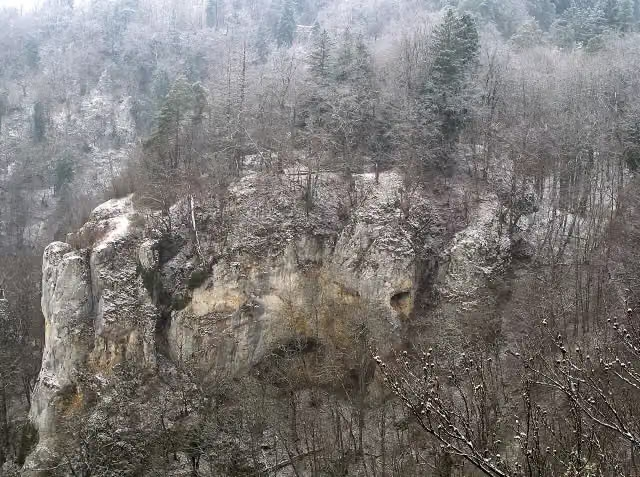 Burgstall SteinRuins · 130 m from the route
- 13
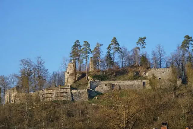 Burgruine WehrsteinCastle · 168 m from the route
- 14
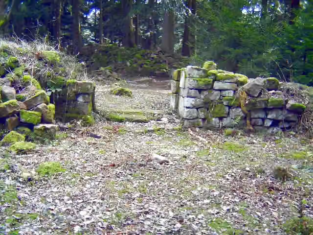 WillenburgRuins · 176 m from the route
- 15
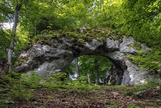 HeidentorArchaeological site · 177 m from the route
- 16
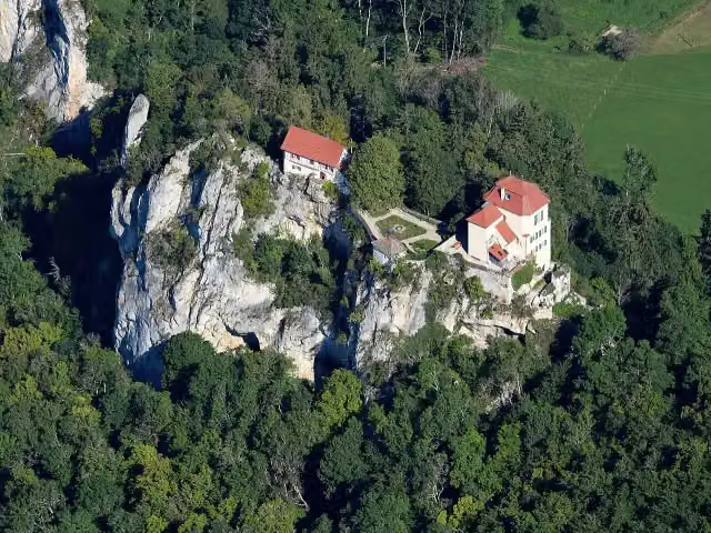 Schloss BronnenCastle · 189 m from the route
- 17
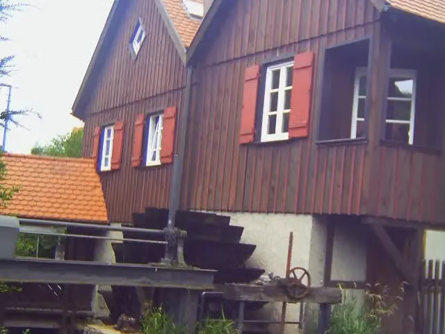 Schüttesäge-MuseumMuseum · 208 m from the route
- 18
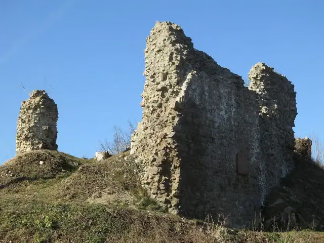 Ruine SchenkenburgCastle · 210 m from the route
- 19
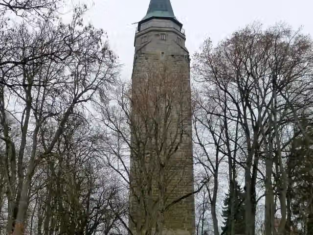 HochturmViewpoint · 211 m from the route
- 20
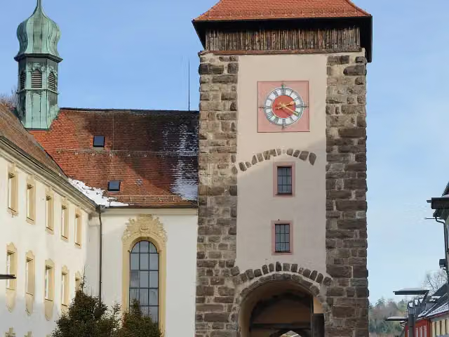 BickentorAttraction · 221 m from the route
- 21
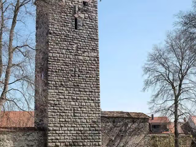 RomäusturmAttraction · 223 m from the route
- 22
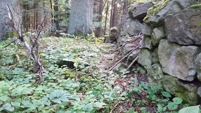 Ruine RotenzimmernRuins · 306 m from the route
- 23
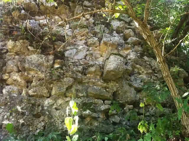 Ehemalige Burg BlumbergRuins · 310 m from the route
- 24
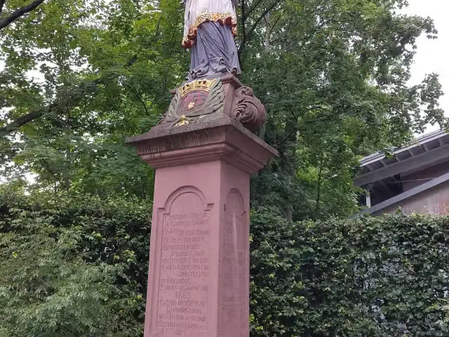 St. NepomukMemorial · 327 m from the route
- 25
 TK Elevator TestturmViewpoint · 446 m from the route
Explore more
More walks around Horb am Neckar
Frequently asked questions
How long is Jakobswege Schwarzwald-Alb?
Jakobswege Schwarzwald-Alb is 488.2 km long, split into several parts and stages.
Is this route a circular walk?
No, the route starts and ends at different spots.
Where does this route start?
The route starts in Horb am Neckar.
Are there toilets along this route?
Yes, there are 25 public toilets within 100 m of the route.
Can you fill up with water along this route?
Yes, there are 19 water fountains and refill points within 100 m of the route.
What is there to see along this route?
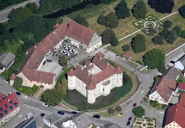
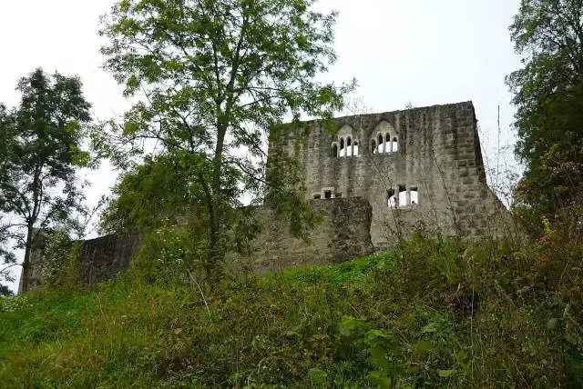
Along the way you pass Wasserschloss Glatt, Burg Albeck and Ruine Herrenzimmern.
Can I download this route as a GPX file?
Yes. Sign in with your Outdoor Pitstop account and choose Download GPX at the top of this page: 10 routes a month for free, unlimited with Pro.
Starting point
More routes from this place
Route data © OpenStreetMap contributors





