 Outdoor Pitstop
Walking route · Lindlar · Updated on 14 November 2026
Jakobs-Pilgerweg Heidenstraße (Teilstück Lindlar - Köln) walk
Jakobs-Pilgerweg Heidenstraße (Teilstück Lindlar - Köln) is a walk of 40.5 km from Lindlar. Along the way you'll find 174 benches, 2 water fountains and refill points, 7 public toilets and 1 honesty box.
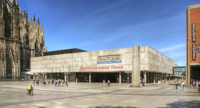
i
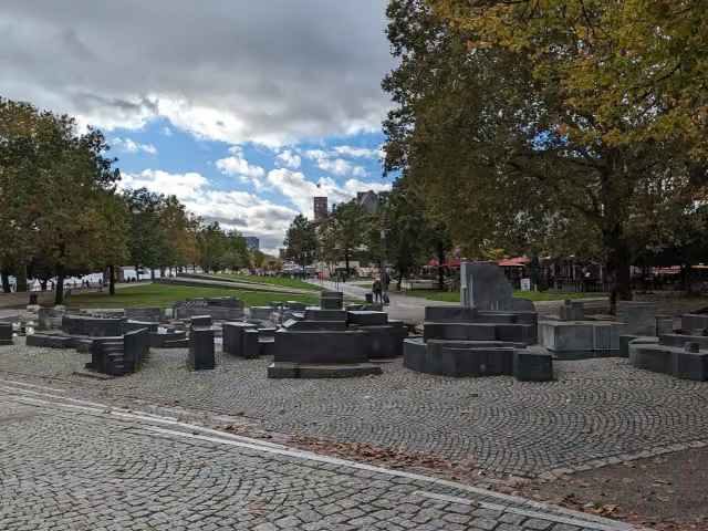
i
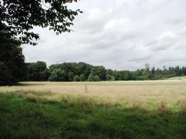
i
The route step by step
From start to finish, with what you pass along the way and the distance in between.
- 40.5 km
- ± 9:30 h
- ↑ 296 m · ↓ 467 m
- Hard
- From A to B
- National route
Start in Lindlar
0 km19.3 km · 10 benches
Honesty box
19.3 km3.3 km · bench

Bergisches Museum für Bergbau, Handwerk und Gewerbe
22.7 kmMuseum
8.4 km · 34 benches
Public toilet
31.1 km5.7 km · 29 benches
3 public toilets
36.9 km1.2 km · 14 benches
Ball of fame
38.1 kmMonument
600 m · 10 benches
Water point
38.7 km349 m · 4 benches
Public toilet
39 km309 m · 11 benches
Public toilet
39.4 km389 m
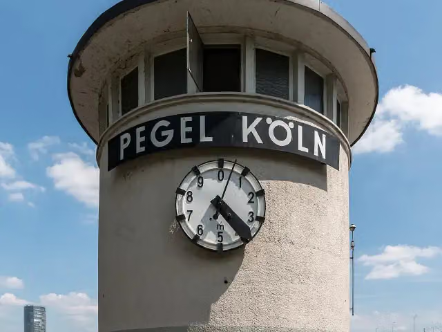
Pegel Köln
39.7 kmPublic toilet
180 m · 4 benches
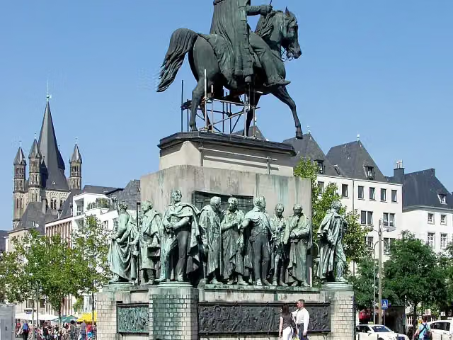
Reiterdenkmal Friedrich Wilhelm III. and 1 more
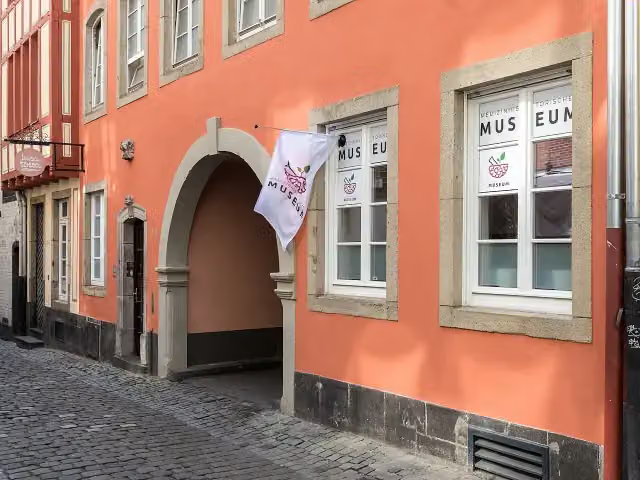
39.9 kmCologne Museum of the History of Medicine
235 m · 19 benches
Tünnes und Schäl and 1 more
40.2 kmPraetorium
324 m · 34 benches
Finish
40.5 kmAt the finish: artothek, Romano-Germanic Museum, Heinzelmännchenbrunnen, Dionysosmosaik, Domfontäne and water point.
Longest stretch without a toilet: 31.1 kmBetween 0 km and 31.1 km there is no public toilet within 100 m of the route.
The route with the pitstops and sights within 100 m of it.
12 sights along the way
In the order you pass them. With the Outdoor Pitstop app you hear their story on the spot. 4 more along the route are on the map.
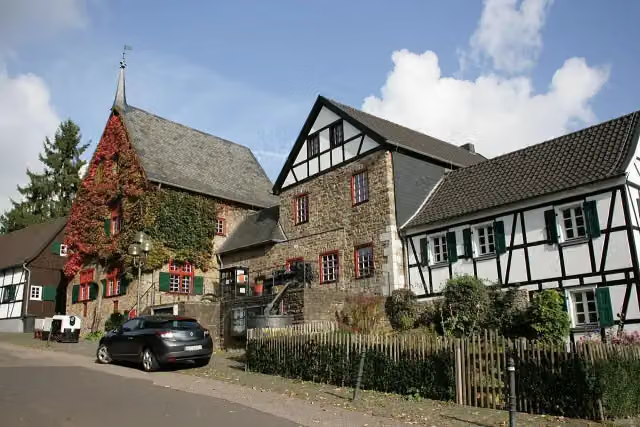
i
Photo: Frank Vincentz · Wikimedia Commons · CC BY-SA 3.0View the photo on Wikimedia CommonsMuseum · after 22.7 km

i
Photo: Raimond Spekking · Wikimedia Commons · CC BY-SA 4.0View the photo on Wikimedia CommonsMonument · after 38.1 km
i
Photo: Dietmar Rabich · Wikimedia Commons · CC BY-SA 4.0View the photo on Wikimedia CommonsAttraction · after 39.7 km
i
Photo: Raimond Spekking · Wikimedia Commons · CC BY-SA 4.0View the photo on Wikimedia CommonsMonument · after 39.9 km
i
Photo: Raimond Spekking · Wikimedia Commons · CC BY-SA 4.0View the photo on Wikimedia CommonsMuseum · after 40 km

Attraction · after 40.2 km
i
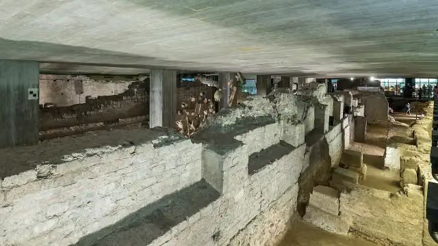
Photo: Raimond Spekking · Wikimedia Commons · CC BY-SA 4.0View the photo on Wikimedia CommonsArchaeological site · after 40.3 km
Museum · after 40.4 km
Elevation and terrain
- Up
- ↑ 296 m
- Down
- ↓ 467 m
- Highest point
- 361 m
- Lowest point
- 41 m
- 5-10% slope · 4.7 km
- 10-15% slope · 610 m
- 3 stairs
Elevation from Copernicus GLO-30 (European Union and ESA), smoothed.
produced using Copernicus WorldDEM-30 © DLR e.V. 2010-2014 and © Airbus Defence and Space GmbH 2014-2018 provided under COPERNICUS by the European Union and ESA; all rights reserved
Way types
40.5 km in total- Road: 13 km
- Track: 8.7 km
- Path: 7.7 km
- Busy road: 5.3 km
- Street: 4.1 km
- Footpath: 1.3 km
- Stairs: 3 stairs
- Unknown: 125 m
Surfaces
40.5 km in total- Asphalt: 19.9 km
- Paved: 6 km
- Gravel: 5.8 km
- Unpaved: 425 m
- Unknown: 8.3 km
About the walking route Jakobs-Pilgerweg Heidenstraße (Teilstück Lindlar - Köln)
Updated on 14 November 2026, with data from OpenStreetMap, the AHN and Copernicus.
Where do you walk?
Jakobs-Pilgerweg Heidenstraße (Teilstück Lindlar - Köln) is a walking route of 40.5 km that starts in Lindlar. It does not end where it starts. Along the way you pass Bergisches Museum für Bergbau, Handwerk und Gewerbe (after 22.7 km), Ball of fame (after 38.1 km) and Pegel Köln (after 39.7 km).
How hard is the route?
You climb 296 m in total and descend 467 m. There are 3 flights of steps along the way. Allow ± 9:30 h, without breaks. The level is hard.
What paths do you walk on?
The longest part is road (13 km), track (8.7 km) and path (7.7 km). Of the surface, 19.9 km asphalt and 6 km paved. For 8.3 km the surface is not known.
Pitstops along the way
Within 100 metres of the route there are 174 benches, 2 water fountains and refill points, 7 public toilets and 1 honesty box. You can fill your bottle after 38.7 km and at the finish. The longest stretch without a toilet is 31.1 km. The Outdoor Pitstop app navigates you there.
Part of Jakobs-Pilgerweg Heidenstraße
Walks nearby
6- Jakobs-Pilgerweg Paderborn-KölnHard · From A to B241.3 km
- Jakobs-Pilgerweg Heidenstraße (Teilstück Attendorn- Meinerzhagen - Marienheide - Lindlar)Hard · From A to B52.5 km
- [<4] Erna-Schreiber-Weg [Lindlar]Moderate · From A to B9.2 km
- Straße der Arbeit [Lindlar]Hard · From A to B18.5 km
- Bergischer Panoramasteig Etappe 1Hard · From A to B16.6 km
- X11a Rheinischer Weg [Lindlar]Hard · From A to B21.7 km
Sights nearby
Within 10 km of the route, best known first.
- 1
 Cologne CathedralAttraction · 141 m from the route
- 2
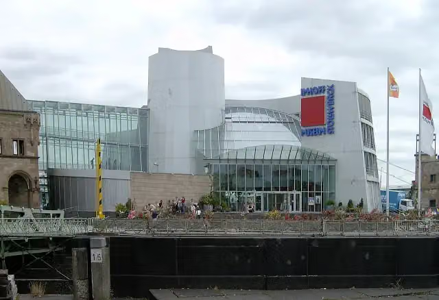 Chocolate MuseumMuseum · 505 m from the route
- 3
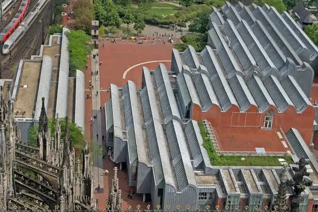 Museum LudwigMuseum · 111 m from the route
- 4
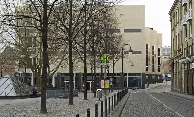 Wallraf-Richartz-Museum & Fondation CorboudMuseum · 133 m from the route
- 5
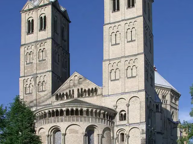 St. Gereon's BasilicaAttraction · 934 m from the route
- 6
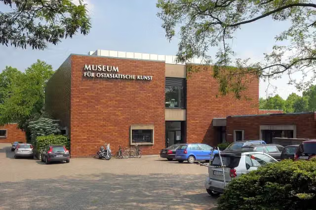 Museum für Ostasiatische KunstMuseum · 2.3 km from the route
- 7
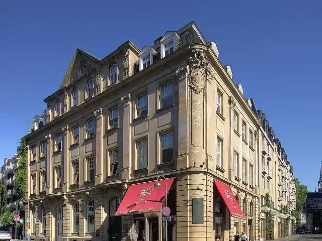 Duftmuseum im Farina-HausMuseum · 161 m from the route
- 8
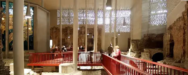 Kolumba KunstmuseumMuseum · 336 m from the route
- 9
 Bayer-KreuzAttraction · 9.3 km from the route
- 10
 Archaeological Zone / New "MiQua" Jewish Museum BuildingArchaeological site · 113 m from the route
- 11
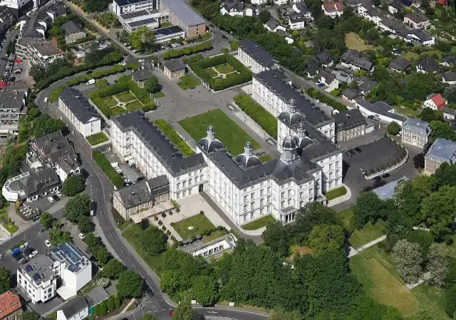 Schloss BensbergAttraction · 122 m from the route
- 12
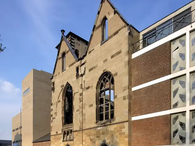 Alt St. AlbanRuins · 152 m from the route
- 13
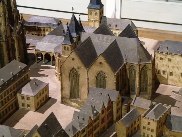 St. Maria ad GradusRuins · 166 m from the route
- 14
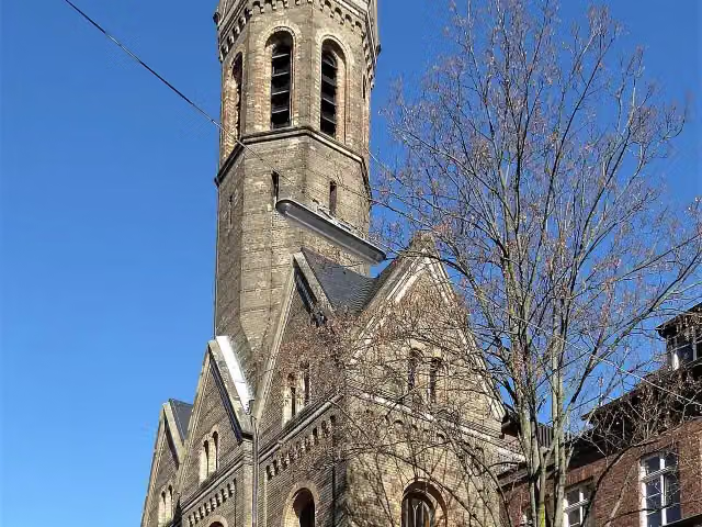 Sankt Johannes DeutzAttraction · 166 m from the route
- 15
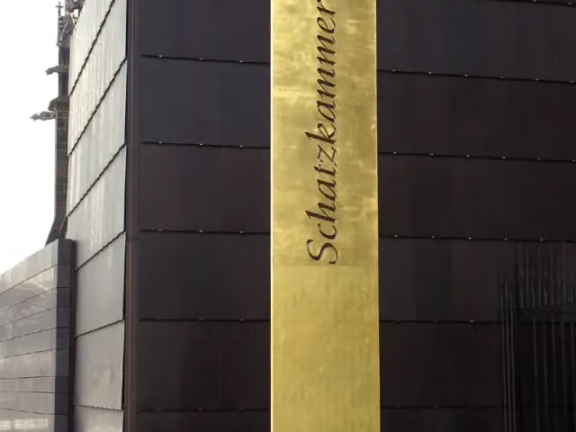 Cologne Cathedral TreasuryMuseum · 188 m from the route
- 16
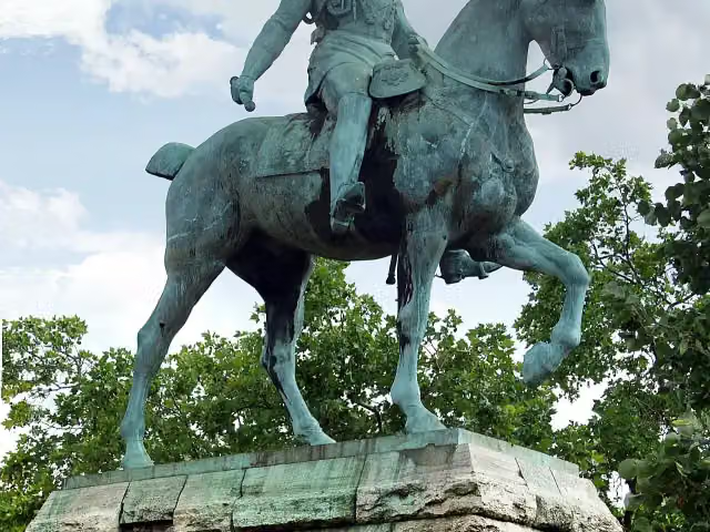 Equestrian Statue of Kaiser Wilhelm II.Memorial · 220 m from the route
- 17
 Jupp-Schmitz-DenkmalMemorial · 224 m from the route
- 18
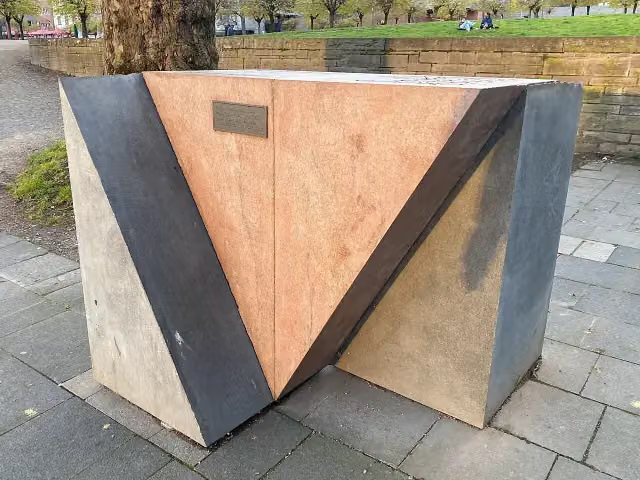 Mahnmal für die schwulen und lesbischen Opfer des Nationalsozialismus in KölnMemorial · 231 m from the route
- 19
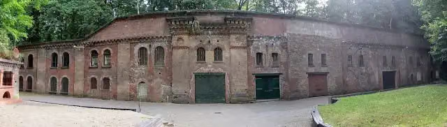 Fort XFort · 234 m from the route
- 20
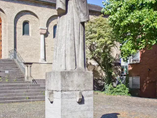 Kölner TotenmalMemorial · 236 m from the route
- 21
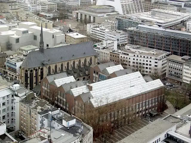 Museum für Angewandte KunstMuseum · 237 m from the route
- 22
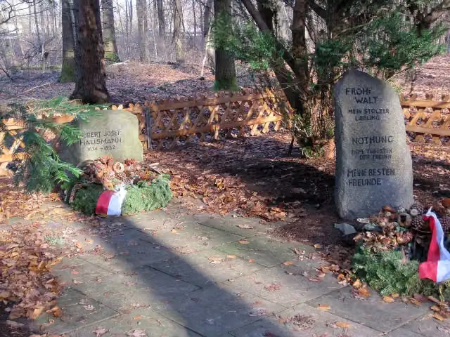 WaldfriedhofMemorial · 240 m from the route
- 23
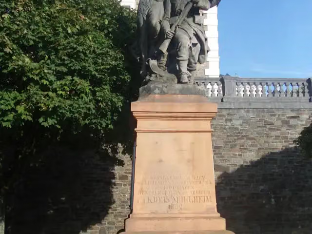 Kriegerdenkmal BensbergMemorial · 241 m from the route
- 24
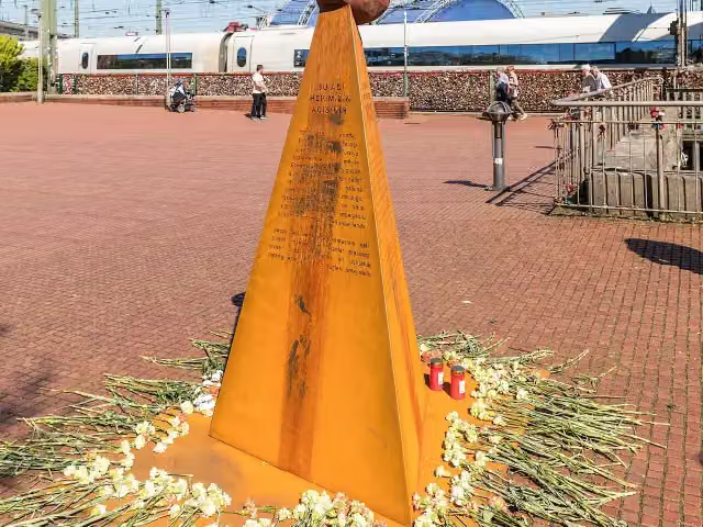 Mahnmal für verfolgte ArmenierMemorial · 243 m from the route
- 25
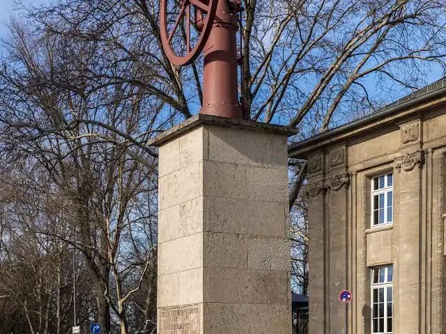 Nicolaus Otto & Eugen Langen DenkmalMemorial · 254 m from the route
Explore more
Frequently asked questions
How long is Jakobs-Pilgerweg Heidenstraße (Teilstück Lindlar - Köln)?
Jakobs-Pilgerweg Heidenstraße (Teilstück Lindlar - Köln) is 40.5 km long. Allow ± 9:30 h of walking: 4.5 km an hour and 10 minutes more per 100 metres of climbing, without breaks.
Is this route a circular walk?
No, the route starts and ends at different spots.
Where does this route start?
The route starts in Lindlar.
How hard is this route?
Hard, with 296 m of climbing.
Are there toilets along this route?
Yes, there are 7 public toilets within 100 m of the route. The longest stretch without a toilet is 31.1 km.
Can you fill up with water along this route?
Yes, there are 2 water fountains and refill points within 100 m of the route.
What is there to see along this route?
Along the way you pass Bergisches Museum für Bergbau, Handwerk und Gewerbe, Ball of fame and Pegel Köln.
Can I download this route as a GPX file?
Yes. Sign in with your Outdoor Pitstop account and choose Download GPX at the top of this page: 10 routes a month for free, unlimited with Pro.
Starting point
More routes from this place
Route data © OpenStreetMap contributors





