 Outdoor Pitstop
Walking route · Hellendoorn · Updated on 5 November 2026
Nijvere Loper walk
Nijvere Loper is a walk of 5.9 km from Hellendoorn that starts and ends at the same spot. Along the way you'll find 28 benches and picnic tables, 1 water point and 1 public toilet.
The route step by step
From start to finish, with what you pass along the way and the distance in between.
- 5.9 km
- ± 1:20 h
- ↑ 0 m · ↓ 0 m
- Easy
- Circular walk
- Local route
Start in Hellendoorn
0 km1.4 km · bench

Bombardement op Nijverdal
1.4 kmMemorial
3.4 km · 14 benches
Public toilet and water point
4.8 km1.1 km · 13 benches
Back at the start
5.9 km
Longest stretch without a toilet: 4.8 kmBetween 0 km and 4.8 km there is no public toilet within 100 m of the route.
The route with the pitstops and sights within 100 m of it.
1 sight along the way
In the order you pass them. With the Outdoor Pitstop app you hear their story on the spot.

Memorial · after 1.4 km
Elevation and terrain
- Up
- ↑ 0 m
- Down
- ↓ 0 m
- Highest point
- 13 m
- Lowest point
- 9 m
Nowhere steeper than 5%.
Elevation from AHN (Rijkswaterstaat), smoothed.
Way types
5.9 km in total- Street: 3.5 km
- Cycleway: 1.6 km
- Footpath: 575 m
- Road: 250 m
Surfaces
5.9 km in total- Paved: 1.4 km
- Asphalt: 1.1 km
- Unknown: 3.4 km
About the walking route Nijvere Loper
Updated on 5 November 2026, with data from OpenStreetMap and the AHN.
Where do you walk?
Nijvere Loper is a circular walk of 5.9 km from Hellendoorn: it starts and ends in the same place. Along the way you pass Bombardement op Nijverdal (after 1.4 km).
How hard is the route?
The route is almost flat. You climb 0 m in total and descend 0 m. Allow ± 1:20 h, without breaks. The level is easy.
What paths do you walk on?
The longest part is street (3.5 km), cycleway (1.6 km) and footpath (575 m). Of the surface, 1.4 km paved and 1.1 km asphalt. For 3.4 km the surface is not known.
Pitstops along the way
Within 100 metres of the route there are 28 benches and picnic tables, 1 water point and 1 public toilet. You can fill your bottle after 4.8 km. The longest stretch without a toilet is 4.8 km. The Outdoor Pitstop app navigates you there.
Walks nearby
6- Overijssels Havezatenpad - 8Moderate · From A to B19.3 km
- Sallandse Zandloper - aanlooproute NijverdalModerate · From A to B10.7 km
- WNW Twente - Wilgenwaerd - gele routeEasy · Circular walk3.6 km
- Overijssels Havezatenpad - 7Moderate · From A to B19 km
- ReggepadHard · From A to B73 km
- WNW Twente - Sallandse Heuvelrug - paarse routeModerate · Circular walk12.9 km
Sights nearby
Within 10 km of the route, best known first.
- 1
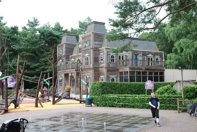 Discovery ClubAttraction · 2.8 km from the route
- 2
 RioolratAttraction · 2.8 km from the route
- 3
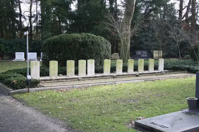 Erehof HellendoornMemorial · 1.3 km from the route
- 4
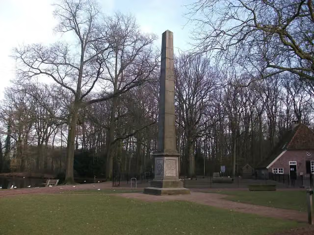 Gedenknaald Ter HorstMemorial · 6.2 km from the route
- 5
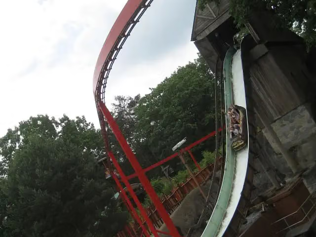 Wild WatervalAttraction · 2.4 km from the route
- 6
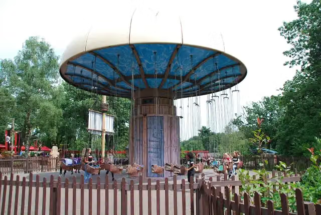 Piraat EnterhaakAttraction · 2.5 km from the route
- 7
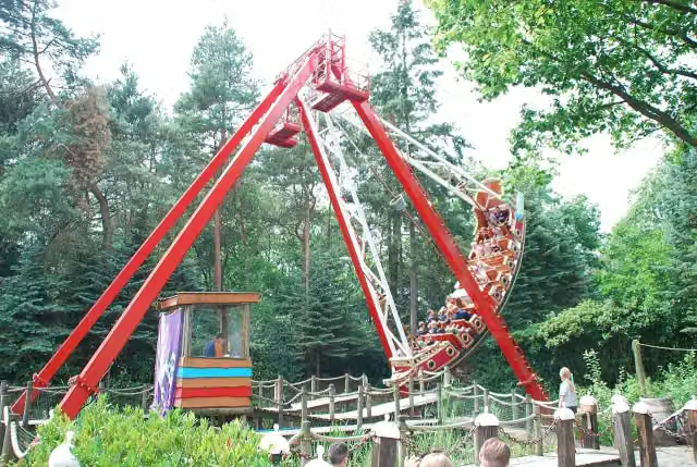 Het GaljoenAttraction · 2.5 km from the route
- 8
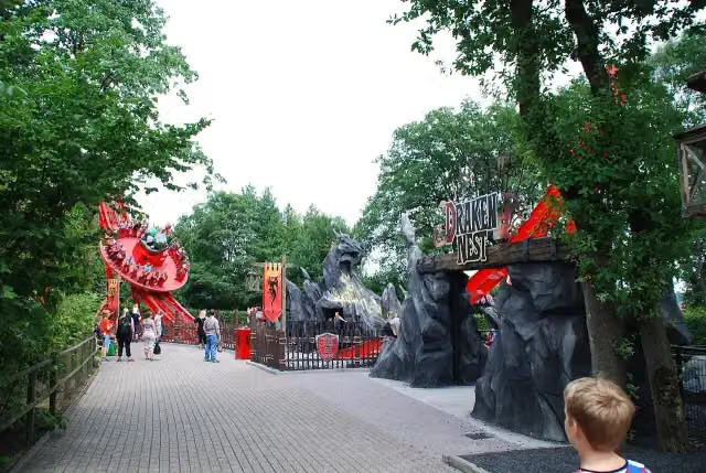 DrakennestAttraction · 2.5 km from the route
- 9
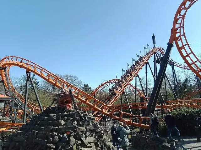 BalagosAttraction · 2.5 km from the route
- 10
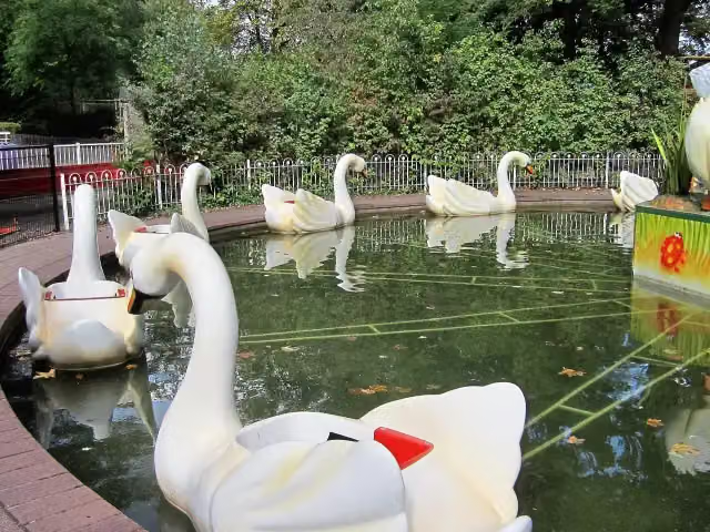 ZwanenmolenAttraction · 2.5 km from the route
- 11
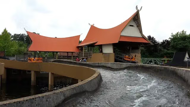 Sungai KalimantanAttraction · 2.7 km from the route
- 12
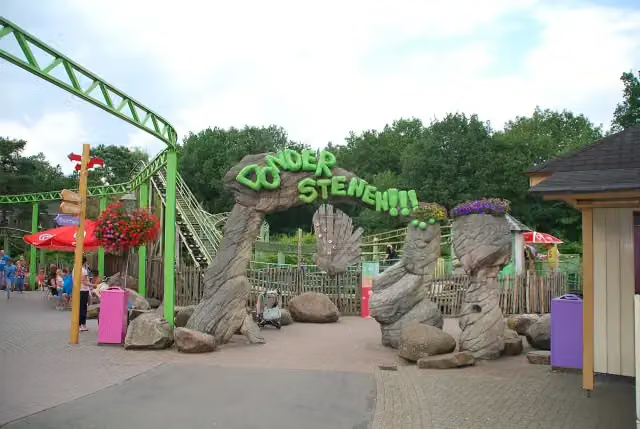 DonderstenenAttraction · 2.7 km from the route
- 13
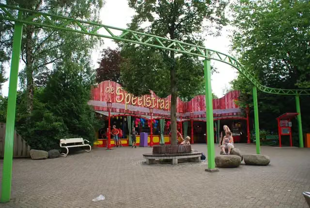 Dino Sky PedaloAttraction · 2.8 km from the route
- 14Fort KnalKruitAttraction · 2.4 km from the route
- 15RidderStrijdAttraction · 2.6 km from the route
- 16OldtimersAttraction · 2.6 km from the route
- 17Rijkswerkkamp TwilhaarMemorial · 2 km from the route
- 18AvonturenradAttraction · 2.5 km from the route
- 19PostkoetsAttraction · 2.5 km from the route
- 20DraaimolenAttraction · 2.5 km from the route
- 21ConvoyAttraction · 2.5 km from the route
- 22MonorailAttraction · 2.5 km from the route
- 23Vliegende HollanderAttraction · 2.5 km from the route
- 24Jungle ExpeditionAttraction · 2.7 km from the route
- 25Tarantula MagicaAttraction · 2.7 km from the route
Explore more
Frequently asked questions
How long is Nijvere Loper?
Nijvere Loper is 5.9 km long. Allow ± 1:20 h of walking: 4.5 km an hour and 10 minutes more per 100 metres of climbing, without breaks.
Is this route a circular walk?
Yes, the route starts and ends at the same spot.
Where does this route start?
The route starts in Hellendoorn.
How hard is this route?
Easy.
Are there toilets along this route?
Yes, there are 1 public toilet within 100 m of the route. The longest stretch without a toilet is 4.8 km.
Can you fill up with water along this route?
Yes, there are 1 water point within 100 m of the route.
What is there to see along this route?
Along the way you pass Bombardement op Nijverdal.
Starting point
More routes from this place
Route data © OpenStreetMap contributors





