 Outdoor Pitstop
Walking route · Büren · Updated on 14 November 2026
Sintfeld-Höhenweg walk
Sintfeld-Höhenweg is a walk of 145.5 km from Büren that starts and ends at the same spot. Along the way you'll find 348 benches, 1 water point, 7 public toilets, 2 bike pumps and 1 honesty box.
i
i
i
The route step by step
From start to finish, with what you pass along the way and the distance in between.
- 145.5 km
- ± 35:25 h
- ↑ 1,855 m · ↓ 1,838 m
- Hard
- Circular walk
- Regional route
- Colour of the signs
Start in Büren
0 km3.4 km · 7 benches
Bike pump
3.4 km5.2 km · 17 benches
Public toilet
8.7 km227 m · 11 benches

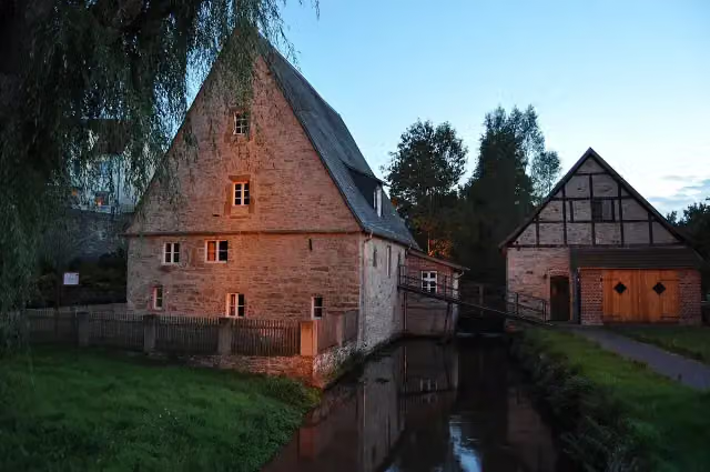
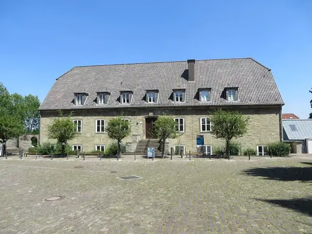
Mittelmühle
8.9 kmMuseum
206 m · 2 benches
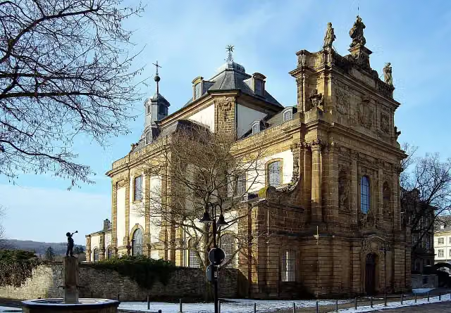
Maria Immaculata
9.1 kmAttraction
12.9 km · 49 benches
Wewelsburg and 2 more
21.9 kmKreismuseum Wewelsburg and Erinnerungsstätte Wewelsburg 1933–1945
18.3 km · 25 benches
Observation tower
40.2 kmPublic toilet and water point
2.5 km · 8 benches
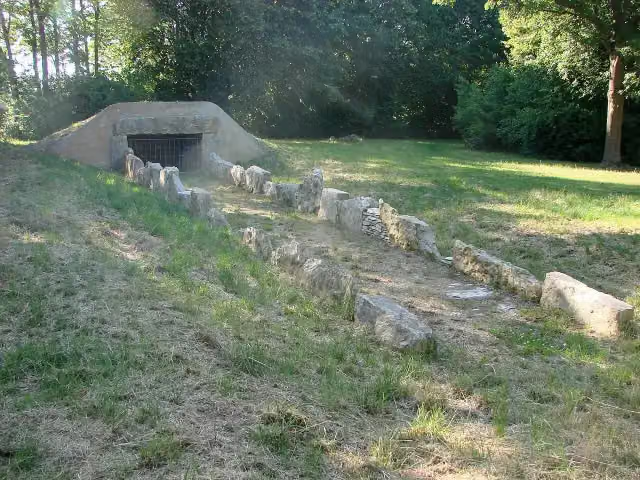
Galeriegrab Atteln I
42.7 kmArchaeological site
16.5 km · 13 benches
Honesty box
59.2 km19.6 km · 25 benches
Alte Eisenbahn
78.8 kmArchaeological site
16.9 km · 5 benches
Stadtwüstung Blankenrode
95.7 kmRuins
9.8 km · 36 benches
Public toilet
105.6 km14.3 km · 25 benches
Public toilet
119.9 km2.4 km · 22 benches
Public toilet and bike pump
122.3 km828 m · 53 benches
Public toilet
123.1 km403 m · 13 benches
Public toilet
123.5 km22 km · 37 benches
Back at the start
145.5 km
Longest stretch without a toilet: 65.2 kmBetween 40.3 km and 105.6 km there is no public toilet within 100 m of the route.
The route with the pitstops and sights within 100 m of it.
9 sights along the way
In the order you pass them. With the Outdoor Pitstop app you hear their story on the spot. 1 more along the route are on the map.
i
Photo: Felix Stember · Wikimedia Commons · CC BY-SA 3.0View the photo on Wikimedia CommonsMuseum · after 8.9 km
i
Photo: Ansicht_Jesuitenkirche_von_Süden.jpg: Felix Stember derivative work: Wladyslaw (talk) · Wikimedia Commons · CC BY-SA 3.0View the photo on Wikimedia CommonsAttraction · after 9.1 km
- Story
i
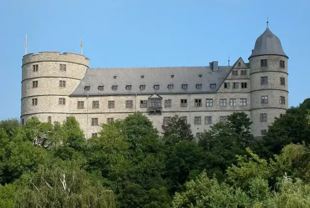
Photo: Wewelsburg2010.jpg: Tbachner derivative work: Alupus (talk) · Wikimedia Commons · CC BY 3.0View the photo on Wikimedia CommonsWewelsburg
Castle · after 21.9 km

Museum · after 21.9 km
Museum · after 22 km
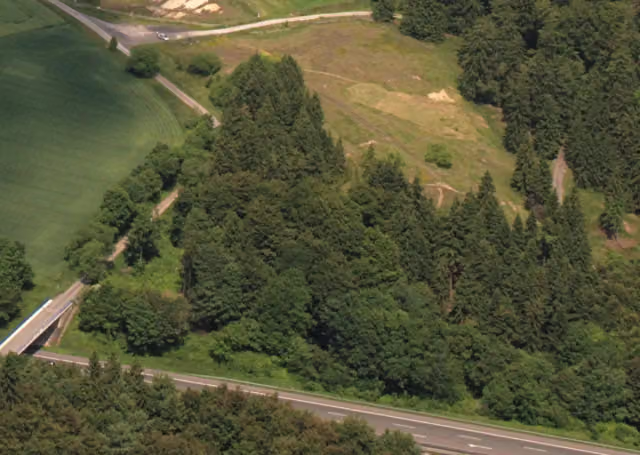
Observation tower · after 40.3 km
i
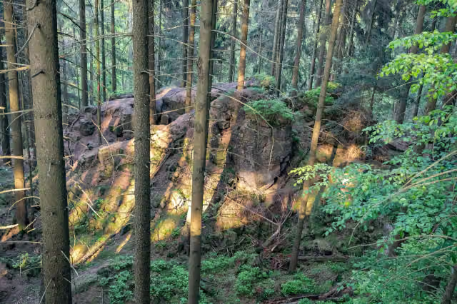
Photo: Megalithfan · Wikimedia Commons · CC BY-SA 4.0View the photo on Wikimedia CommonsArchaeological site · after 42.7 km
Archaeological site · after 78.8 km
Elevation and terrain
- Up
- ↑ 1,855 m
- Down
- ↓ 1,838 m
- Highest point
- 451 m
- Lowest point
- 182 m
- 5-10% slope · 19 km
- 10-15% slope · 731 m
- 7 stairs
Elevation from Copernicus GLO-30 (European Union and ESA), smoothed.
produced using Copernicus WorldDEM-30 © DLR e.V. 2010-2014 and © Airbus Defence and Space GmbH 2014-2018 provided under COPERNICUS by the European Union and ESA; all rights reserved
Way types
145.5 km in total- Track: 95.6 km
- Path: 22.3 km
- Road: 14.6 km
- Street: 9.1 km
- Busy road: 3 km
- Stairs: 7 stairs
- Footpath: 50 m
Surfaces
145.5 km in total- Gravel: 40.2 km
- Asphalt: 36.8 km
- Unpaved: 18.8 km
- Paved: 3.2 km
- Natural: 1.9 km
- Unknown: 44.1 km
About the walking route Sintfeld-Höhenweg
Updated on 14 November 2026, with data from OpenStreetMap, the AHN and Copernicus.
Where do you walk?
Sintfeld-Höhenweg is a circular walk of 145.5 km from Büren: it starts and ends in the same place. You start in Büren and finish in Büren. Along the way you pass Mittelmühle (after 8.9 km), Maria Immaculata (after 9.1 km) and Wewelsburg (after 21.9 km).
How hard is the route?
You climb 1,855 m in total and descend 1,838 m. There are 7 flights of steps along the way. Allow ± 35:25 h, without breaks. The level is hard.
What paths do you walk on?
The longest part is track (95.6 km), path (22.3 km) and road (14.6 km). Of the surface, 40.2 km gravel and 36.8 km asphalt. For 44.1 km the surface is not known.
Pitstops along the way
Within 100 metres of the route there are 348 benches, 1 water point, 7 public toilets, 2 bike pumps and 1 honesty box. You can fill your bottle after 40.2 km. The longest stretch without a toilet is 65.2 km. The Outdoor Pitstop app navigates you there.
Walks nearby
5Sights nearby
Within 10 km of the route, best known first.
- 1
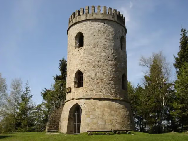 Bierbaums NagelObservation tower · 229 m from the route
- 2
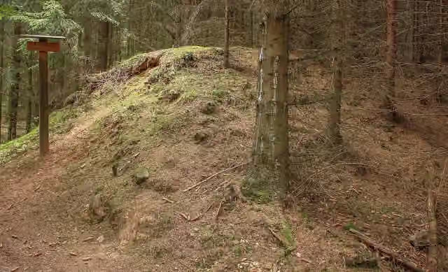 KarlsschanzeAttraction · 231 m from the route
- 3
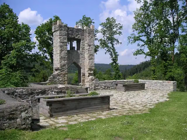 Burgruine RingelsteinCastle · 282 m from the route
- 4
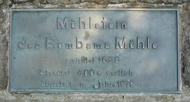 Mühlstein der Bumbams MühleMemorial · 411 m from the route
- 5
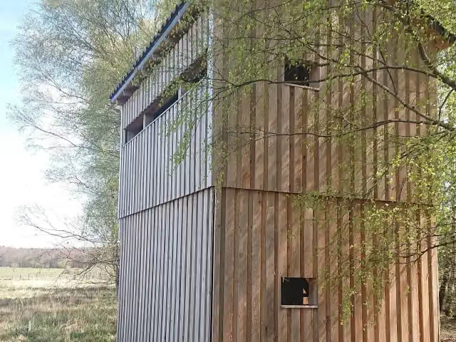 Observation towerObservation tower · 453 m from the route
- 6
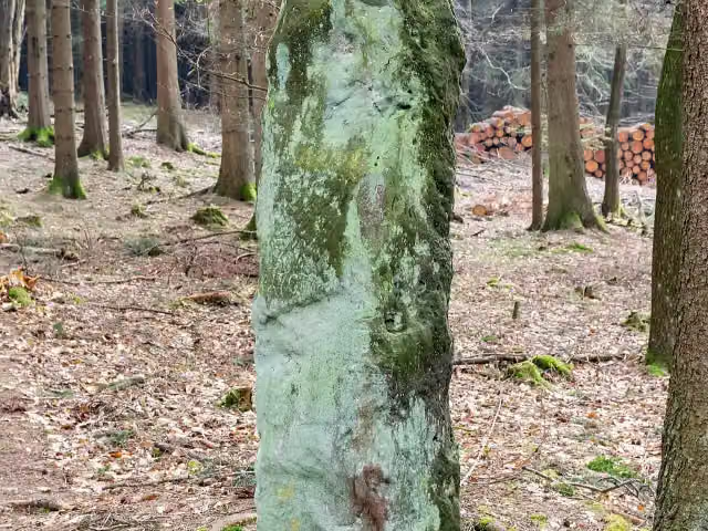 Bülheimer GroßmutterArchaeological site · 868 m from the route
- 7
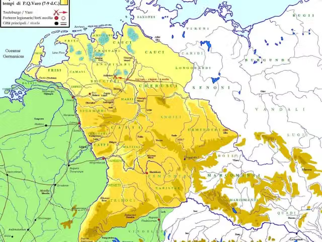 Römerlager KneblinghausenArchaeological site · 1.1 km from the route
- 8
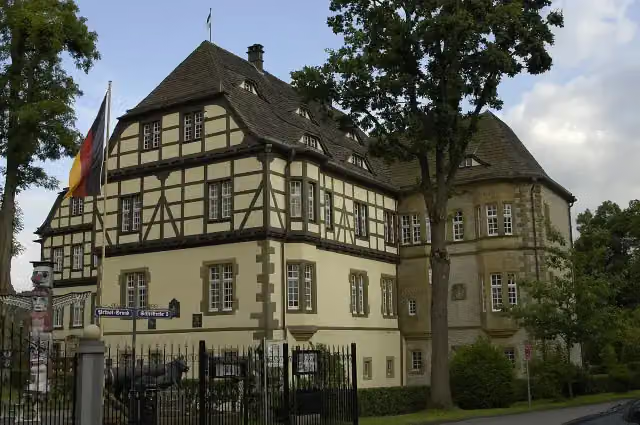 Wasserschloss HeerseCastle · 1.5 km from the route
- 9
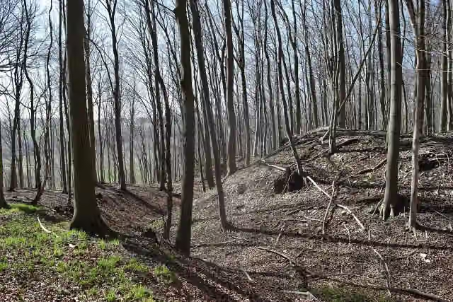 Hünenburg auf dem HahnenbergArchaeological site · 2 km from the route
- 10
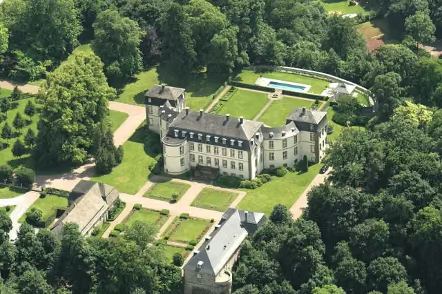 Schloss FürstenbergCastle · 2.1 km from the route
- 11
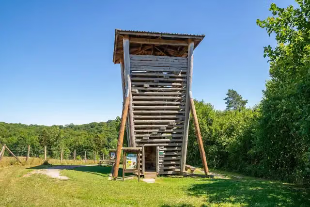 Wisent TurmObservation tower · 2.6 km from the route
- 12
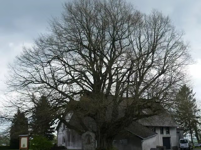 Die dicke LindeAttraction · 2.7 km from the route
- 13
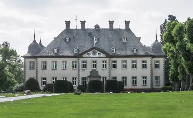 Schloss ErpernburgCastle · 2.8 km from the route
- 14
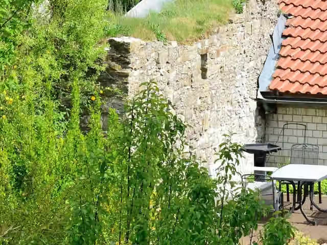 Ettelner BurgCastle · 2.8 km from the route
- 15
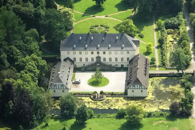 Schloss AlmeCastle · 2.9 km from the route
- 16
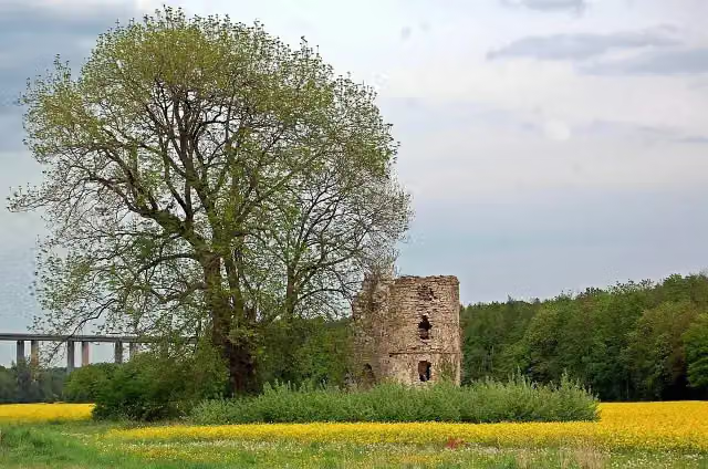 Ruine NiederburgRuins · 2.9 km from the route
- 17
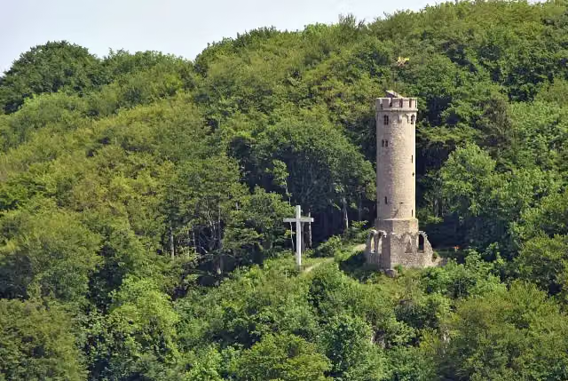 BilsteinturmObservation tower · 3.1 km from the route
- 18
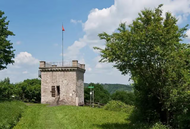 ButtenturmViewpoint · 3.3 km from the route
- 19
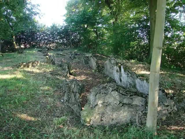 Galeriegrab EttelnArchaeological site · 3.4 km from the route
- 20
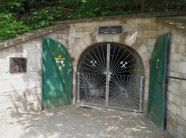 Besucherbergwerk KilianstollenAttraction · 3.7 km from the route
- 21
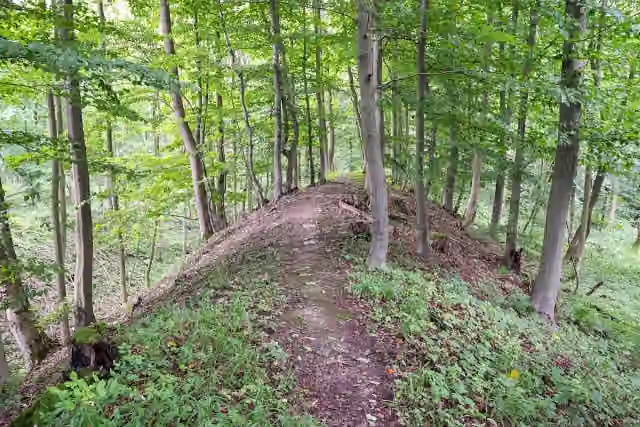 Wallburg GellinghausenArchaeological site · 4.1 km from the route
- 22
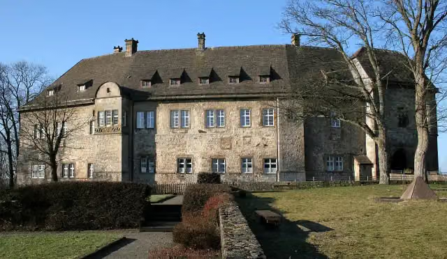 Burg DringenbergAttraction · 5 km from the route
- 23
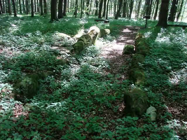 Galeriegrab von Warburg-RimbeckArchaeological site · 5.3 km from the route
- 24
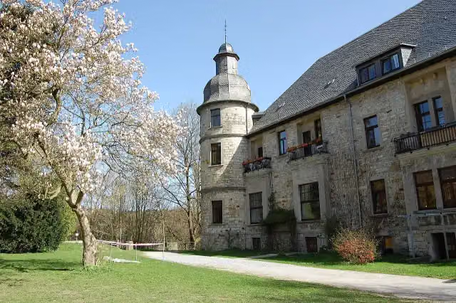 Schloß HambornCastle · 6.3 km from the route
- 25
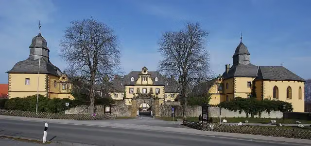 Schloss EringerfeldCastle · 6.3 km from the route
Explore more
More walks around Büren
More nearby
Frequently asked questions
How long is Sintfeld-Höhenweg?
Sintfeld-Höhenweg is 145.5 km long. Allow ± 35:25 h of walking: 4.5 km an hour and 10 minutes more per 100 metres of climbing, without breaks.
Is this route a circular walk?
Yes, the route starts and ends at the same spot.
Where does this route start?
The route starts in Büren.
How hard is this route?
Hard, with 1,855 m of climbing.
Are there toilets along this route?
Yes, there are 7 public toilets within 100 m of the route. The longest stretch without a toilet is 65.2 km.
Can you fill up with water along this route?
Yes, there are 1 water point within 100 m of the route.
What is there to see along this route?
Along the way you pass Mittelmühle, Maria Immaculata and Wewelsburg.
Can I download this route as a GPX file?
Yes. Sign in with your Outdoor Pitstop account and choose Download GPX at the top of this page: 10 routes a month for free, unlimited with Pro.
Starting point
More routes from this place
Route data © OpenStreetMap contributors





