 Outdoor Pitstop
Walking route · Mühlberg/Elbe · Updated on 14 November 2026
walk
is a walk of 18.5 km from Mühlberg/Elbe. Along the way you'll find 7 benches.
The route step by step
From start to finish, with what you pass along the way and the distance in between.
- 18.5 km
- ± 4:10 h
- ↑ 15 m · ↓ 11 m
- Moderate
- From A to B
- Regional route
Start in Mühlberg/Elbe
0 km18.5 km · 7 benches
Finish
18.5 km
No public toilet along the wayThere is no public toilet within 100 m of the route. Go before you start, or find one a bit further away in the app.
The route with the pitstops and sights within 100 m of it.
Elevation and terrain
- Up
- ↑ 15 m
- Down
- ↓ 11 m
- Highest point
- 104 m
- Lowest point
- 87 m
Nowhere steeper than 5%.
Elevation from Copernicus GLO-30 (European Union and ESA), smoothed.
produced using Copernicus WorldDEM-30 © DLR e.V. 2010-2014 and © Airbus Defence and Space GmbH 2014-2018 provided under COPERNICUS by the European Union and ESA; all rights reserved
Way types
18.5 km in total- Track: 9.9 km
- Busy road: 6.1 km
- Road: 2.2 km
- Street: 400 m
Surfaces
18.5 km in total- Asphalt: 6 km
- Unpaved: 4.6 km
- Paved: 2.4 km
- Gravel: 2.3 km
- Natural: 2 km
- Unknown: 1.2 km
About the walking route
Updated on 14 November 2026, with data from OpenStreetMap, the AHN and Copernicus.
Where do you walk?
is a walking route of 18.5 km that starts in Mühlberg/Elbe. It does not end where it starts.
How hard is the route?
The route is almost flat. You climb 15 m in total and descend 11 m. Allow ± 4:10 h, without breaks. The level is moderate.
What paths do you walk on?
The longest part is track (9.9 km), busy road (6.1 km) and road (2.2 km). Of the surface, 6 km asphalt and 4.6 km unpaved. For 1.2 km the surface is not known.
Pitstops along the way
Within 100 metres of the route there are 7 benches. There is no public toilet within 100 metres of the route. The Outdoor Pitstop app navigates you there.
Walks nearby
4Sights nearby
Within 10 km of the route, best known first.
- 1
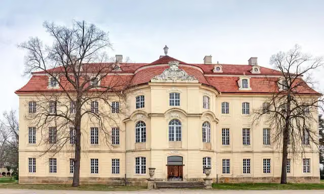 Barockschloss MartinskirchenCastle · 2.2 km from the route
- 2
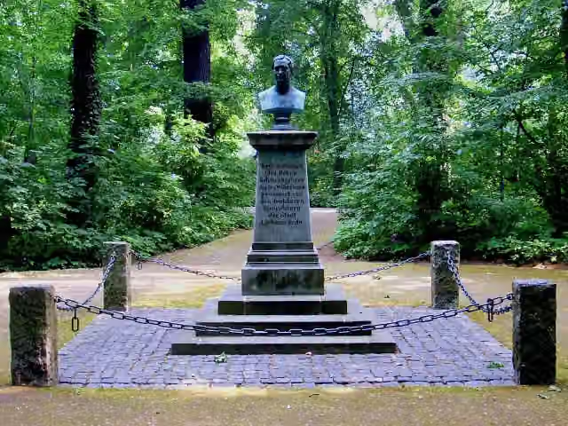 Friedrich-Wilhelm-DenkmalMemorial · 2.4 km from the route
- 3
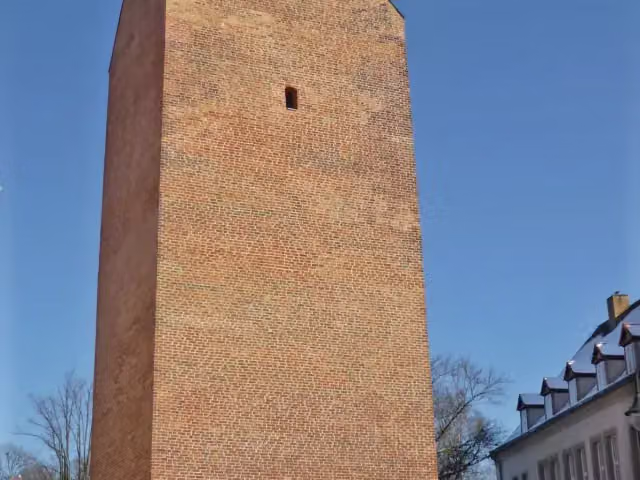 LubwartturmObservation tower · 2.4 km from the route
- 4
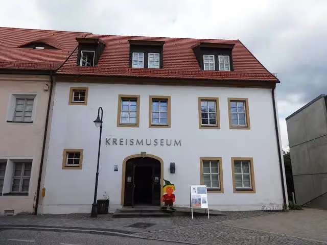 Mitteldeutsches MarionettentheatermuseumMuseum · 2.4 km from the route
- 5
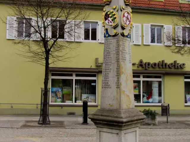 Kursächsische PostmeilensäuleAttraction · 2.5 km from the route
- 6
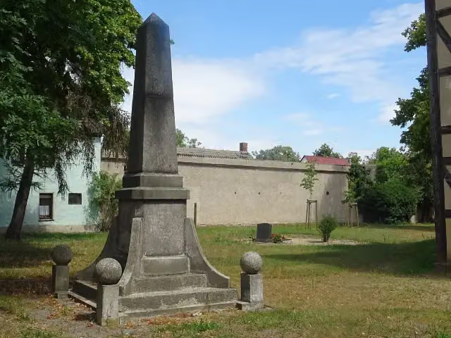 Denkmal für die Gefallenen des Ersten WeltkriegesMemorial · 2.9 km from the route
- 7
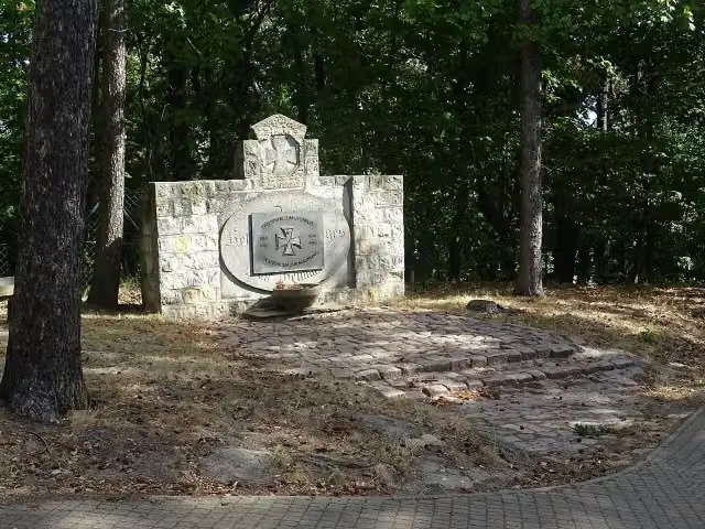 Gefallenendenkmal 1. WeltkriegMemorial · 4.2 km from the route
- 8
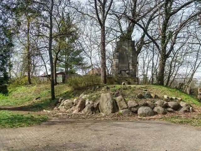 Bismarck-DenkmalMemorial · 4.2 km from the route
- 9
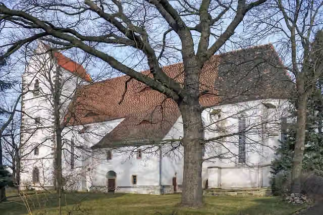 LuthersteinMemorial · 4.3 km from the route
- 10
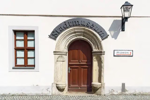 Stadt- u. Heimatmuseum BelgernMuseum · 4.4 km from the route
- 11
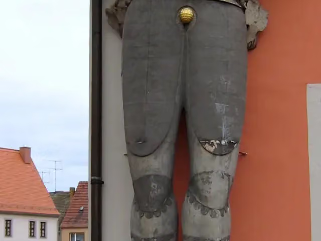 Roland BelgernAttraction · 4.4 km from the route
- 12
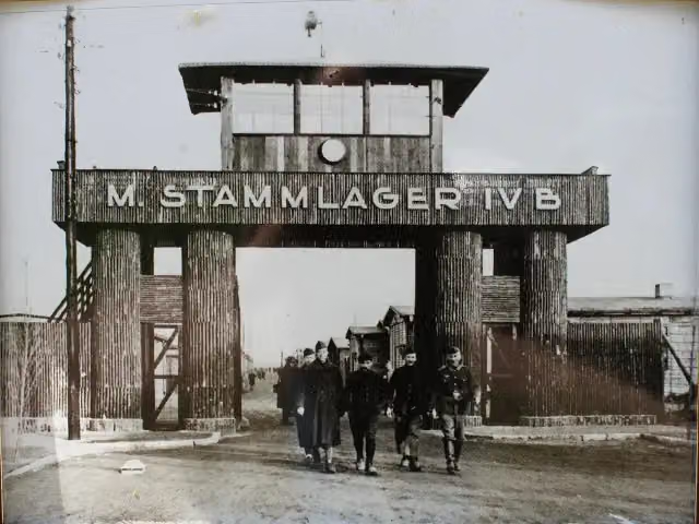 Speziallager Nr. 1 MühlbergAttraction · 5 km from the route
- 13
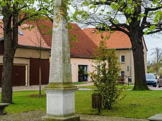 Kursächsische PostmeilensäuleAttraction · 6.2 km from the route
- 14
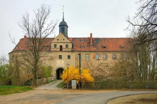 Schloss MühlbergCastle · 6.2 km from the route
- 15
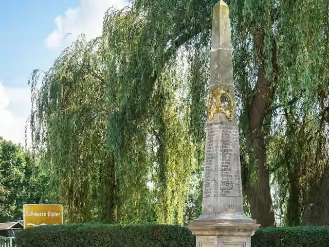 Kursächsische PostmeilensäuleAttraction · 6.3 km from the route
- 16
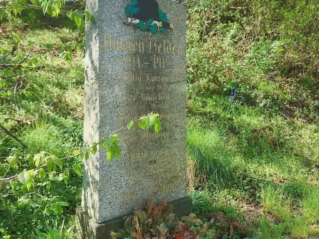 MemorialMemorial · 6.5 km from the route
- 17
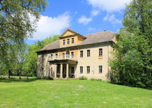 Herrenhaus OelzschauCastle · 6.5 km from the route
- 18
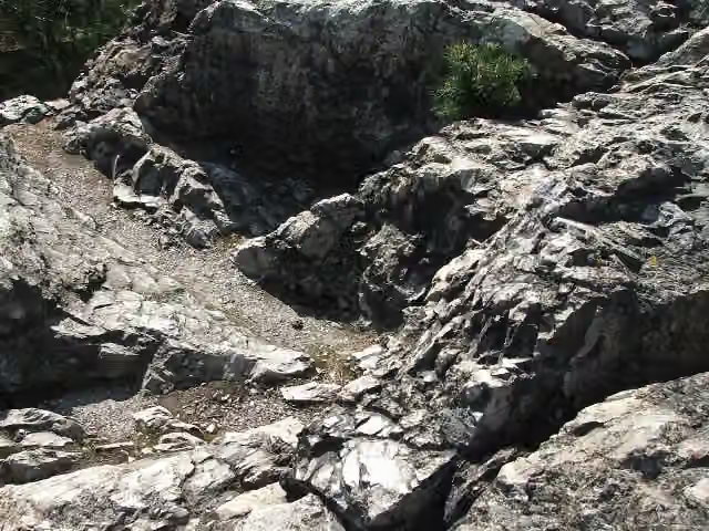 Rothsteiner FelsenAttraction · 6.6 km from the route
- 19
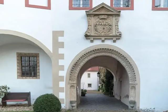 Schloss TriestewitzCastle · 7.5 km from the route
- 20
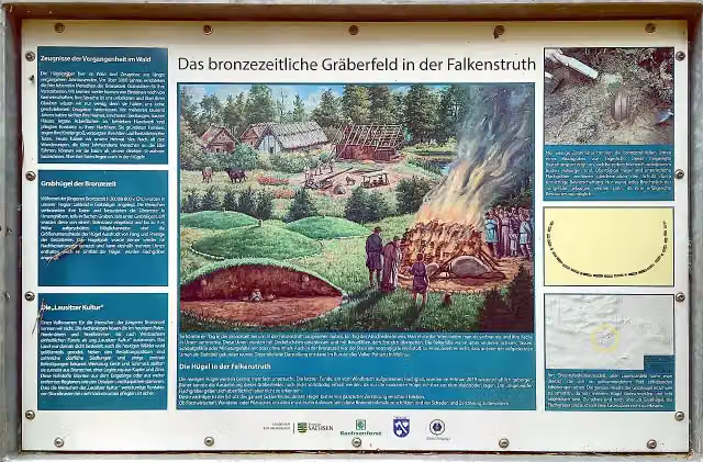 Hügelgräber FalkenstruthArchaeological site · 7.8 km from the route
- 21
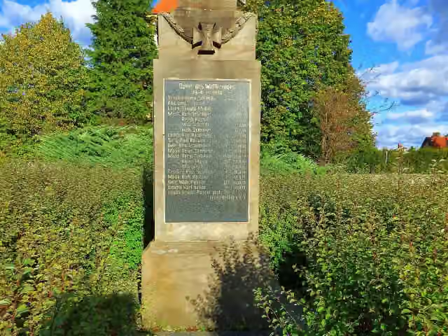 MemorialMemorial · 8.3 km from the route
- 22
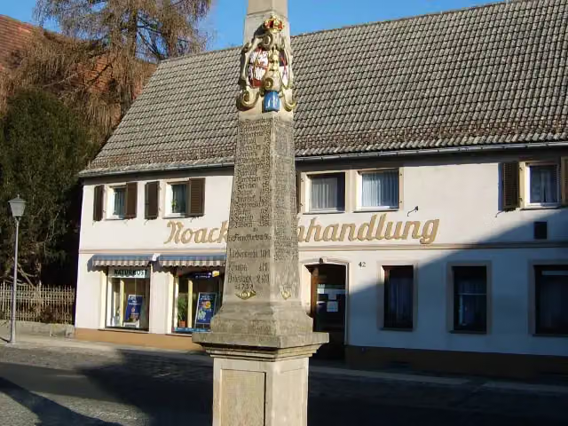 Kursächsische PostmeilensäuleAttraction · 8.6 km from the route
- 23
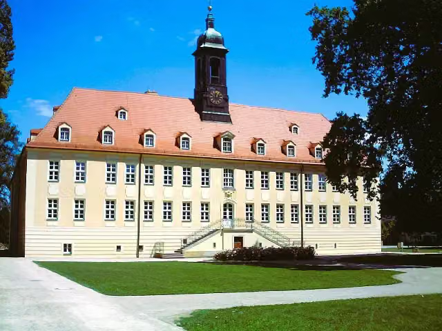 Schloss ElsterwerdaCastle · 8.7 km from the route
- 24
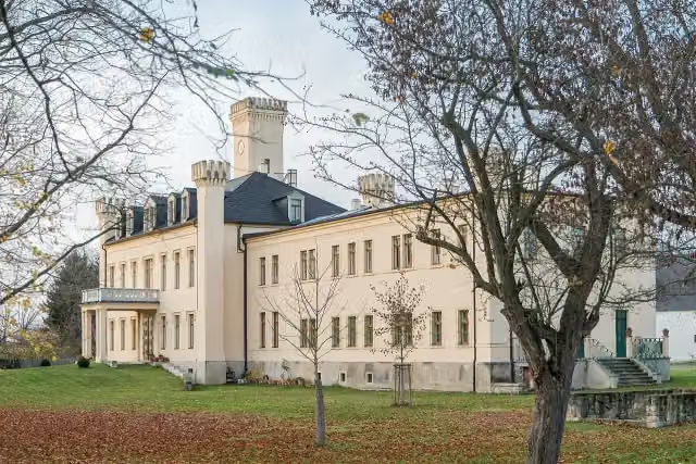 Schloß PülswerdaCastle · 8.8 km from the route
- 25
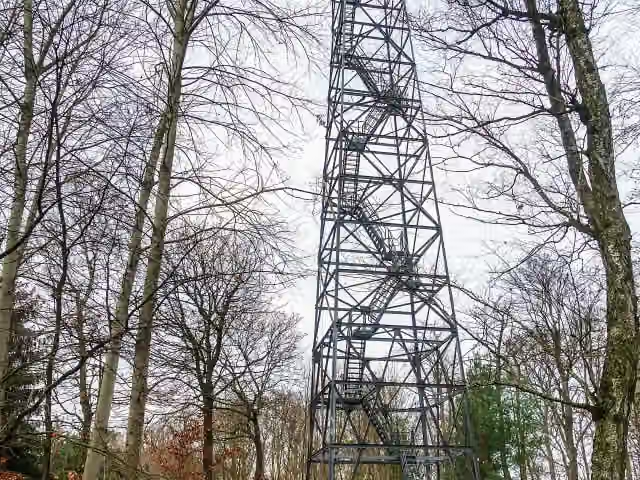 Observation towerObservation tower · 9 km from the route
Explore more
More walks around Mühlberg/Elbe
Frequently asked questions
How long is ?
is 18.5 km long. Allow ± 4:10 h of walking: 4.5 km an hour and 10 minutes more per 100 metres of climbing, without breaks.
Is this route a circular walk?
No, the route starts and ends at different spots.
Where does this route start?
The route starts in Mühlberg/Elbe.
How hard is this route?
Moderate, with 15 m of climbing.
Are there toilets along this route?
No, there is no public toilet within 100 m of the route. Go before you start.
Can you fill up with water along this route?
No, there is no water point within 100 m of the route. Bring enough water.
Can I download this route as a GPX file?
Yes. Sign in with your Outdoor Pitstop account and choose Download GPX at the top of this page: 10 routes a month for free, unlimited with Pro.
Starting point
More routes from this place
Route data © OpenStreetMap contributors





