 Outdoor Pitstop
Walking route · Osnabrück · Updated on 14 November 2026
Töddenweg walk
Töddenweg is a walk of 128.4 km from Osnabrück. Along the way you'll find 242 benches, 8 water fountains and refill points, 10 public toilets, 2 bike pumps and 3 honesty boxes and farm vending machines.
i
i
i
The route step by step
From start to finish, with what you pass along the way and the distance in between.
- 128.4 km
- ± 4:55 h per stage
- ↑ 517 m · ↓ 541 m
- Hard per stage
- From A to B
- Regional route
Start in Osnabrück
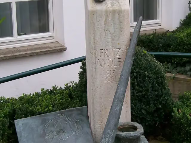
0 kmAt the start: Erich Maria Remarque-Friedenszentrum, Fritz-Wolf-Denkmal and public toilet.
195 m · 2 benches

Waterloo-Tor and 2 more
195 mFelix-Nussbaum-Haus, Kulturgeschichtliches Museum and 2 water fountains and refill points
8 km · 63 benches
Public toilet
8.2 km1 km
Public toilet
9.2 km5.4 km · 3 benches
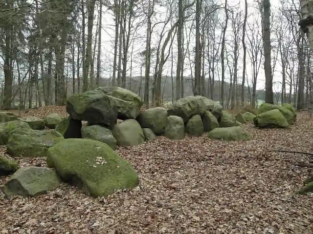
Sloopsteine
14.6 kmAttraction
4.3 km · 4 benches
Water point
18.9 km9.4 km · 14 benches
Tüöttenmuseum
28.3 km2 water fountains and refill points and 2 bike pumps
6.1 km · 13 benches
Honesty box
34.5 km42.5 km · 12 benches
2 honesty boxes and farm vending machines
77 km5.4 km · 3 benches
Observation tower
82.4 kmObservation tower
5.3 km · 16 benches
Public toilet
87.7 km239 m · 12 benches
Water point
87.9 km176 m
Falkenhof-Museum
88.1 kmMuseum
2.8 km · 21 benches
Public toilet
90.9 km23.6 km · 25 benches
Public toilet
114.5 km184 m · 6 benches
Kronenburg
114.7 km3 public toilets
4.9 km · 25 benches
Water point
119.6 km369 m · 3 benches
Public toilet
119.9 km511 m · 7 benches
Water point
120.5 km8 km · 7 benches
Finish
128.4 km
Longest stretch without a toilet: 78.5 kmBetween 9.2 km and 87.7 km there is no public toilet within 100 m of the route.
The route with the water points, toilets and sights within 100 m of it.
10 sights along the way
In the order you pass them. With the Outdoor Pitstop app you hear their story on the spot. 2 more along the route are on the map.
i
Photo: AliceCadeddu85 · Wikimedia Commons · CC BY-SA 4.0View the photo on Wikimedia CommonsMuseum · after 0 m
i
Photo: MrsMyerDE · Wikimedia Commons · CC BY-SA 3.0View the photo on Wikimedia CommonsMemorial · after 0 m
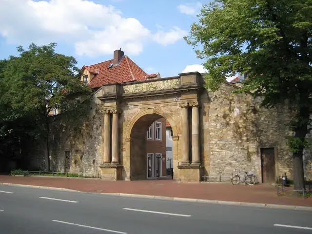
i
Photo: MrsMyer at German Wikipedia · Wikimedia Commons · CC BY-SA 3.0View the photo on Wikimedia CommonsMemorial · after 195 m

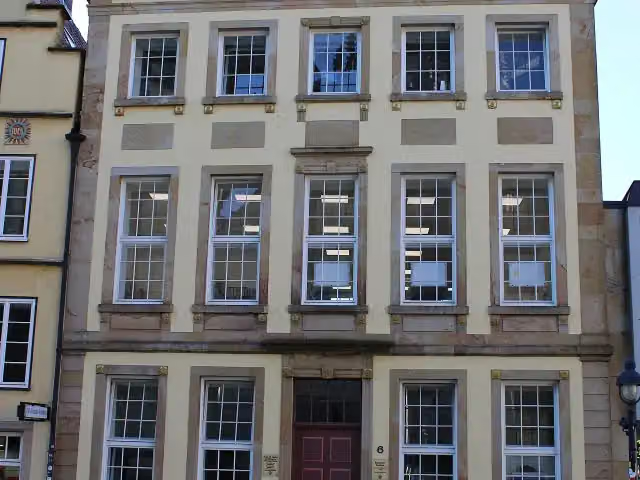
Museum · after 203 m
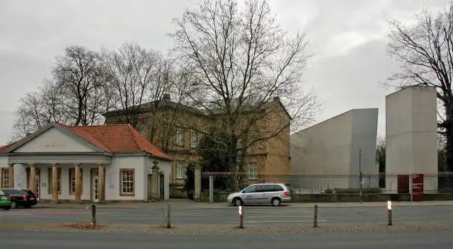
i
Photo: BangertNo · Wikimedia Commons · CC BY-SA 3.0View the photo on Wikimedia CommonsMuseum · after 203 m
i
Photo: Megalithicguy · Wikimedia Commons · CC BY-SA 3.0View the photo on Wikimedia CommonsAttraction · after 14.6 km
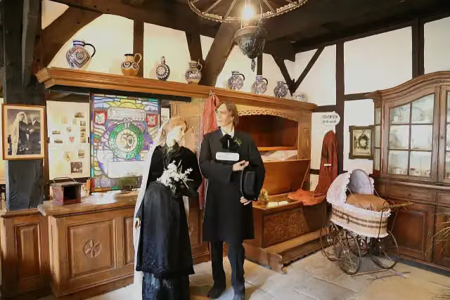
i
Photo: J.-H. Janßen · Wikimedia Commons · CC BY-SA 3.0View the photo on Wikimedia CommonsMuseum · after 28.3 km
Observation tower · after 82.4 km
Stages (6)
Elevation and terrain
- Up
- ↑ 517 m
- Down
- ↓ 541 m
- Highest point
- 150 m
- Lowest point
- 29 m
- 5-10% slope · 2.2 km
- 4 stairs
Elevation from Copernicus GLO-30 (European Union and ESA), smoothed.
produced using Copernicus WorldDEM-30 © DLR e.V. 2010-2014 and © Airbus Defence and Space GmbH 2014-2018 provided under COPERNICUS by the European Union and ESA; all rights reserved
Way types
128.4 km in total- Road: 46.1 km
- Street: 32.2 km
- Track: 22.9 km
- Path: 17.7 km
- Cycleway: 4.7 km
- Footpath: 3.8 km
- Busy road: 651 m
- Stairs: 4 stairs
Surfaces
128.4 km in total- Asphalt: 36.8 km
- Paved: 21.1 km
- Gravel: 14.2 km
- Unpaved: 11.9 km
- Natural: 2.6 km
- Unknown: 41.5 km
About the walking route Töddenweg
Updated on 14 November 2026, with data from OpenStreetMap, the AHN and Copernicus.
Where do you walk?
Töddenweg is a walking route of 128.4 km that starts in Osnabrück. It does not end where it starts. You start in Rathaus Osnabrück and finish in Dinkelbrücke an der Niederländischen Grenze. Along the way you pass Erich Maria Remarque-Friedenszentrum (after 0 m), Fritz-Wolf-Denkmal (after 0 m) and Waterloo-Tor (after 195 m).
How hard is the route?
You climb 517 m in total and descend 541 m. There are 4 flights of steps along the way. Allow ± 4:55 h per stage, without breaks. Per stage the level is hard.
What paths do you walk on?
The longest part is road (46.1 km), street (32.2 km) and track (22.9 km). Of the surface, 36.8 km asphalt and 21.1 km paved. For 41.5 km the surface is not known.
Pitstops along the way
Within 100 metres of the route there are 242 benches, 8 water fountains and refill points, 10 public toilets, 2 bike pumps and 3 honesty boxes and farm vending machines. The longest stretch without a toilet is 78.5 km. The Outdoor Pitstop app navigates you there.
Walks nearby
6- PickerwegHard · From A to B119.2 km
- X15 Osnabrück - HammHard · From A to B120.3 km
- HünenwegHard · From A to B149.4 km
- X1648 Westfälischer Friede WegHard · From A to B74.5 km
- Jakobs-Pilgerweg Osnabrück-BeyenburgHard · From A to B207.1 km
- Europäischer Fernwanderweg E11, Niedersachsen (W)Hard · From A to B184.1 km
Sights nearby
Within 10 km of the route, best known first.
- 1
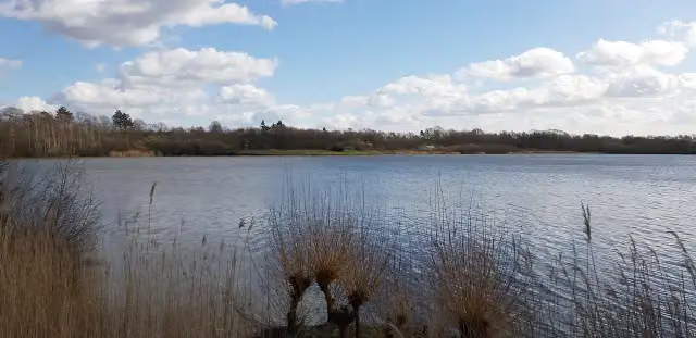 UitkijktorenObservation tower · 2 km from the route
- 2
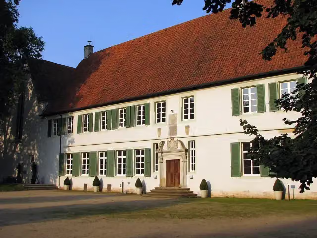 Kloster BentlageCastle · 153 m from the route
- 3
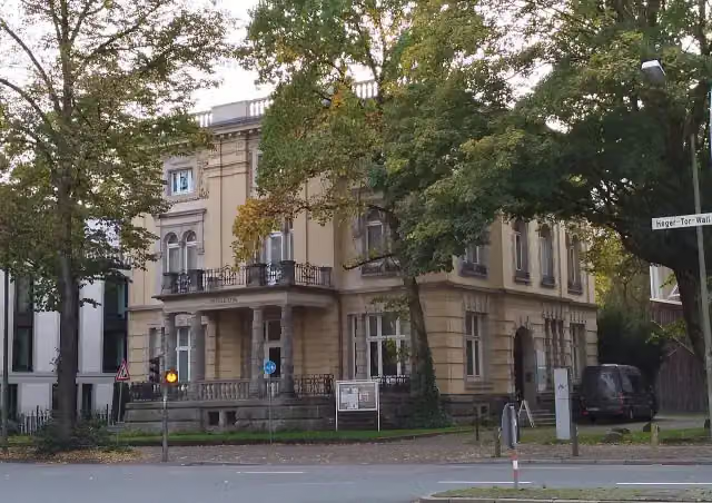 Die Villa_Museum · 154 m from the route
- 4
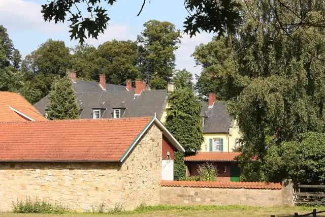 Haus CappelnCastle · 176 m from the route
- 5
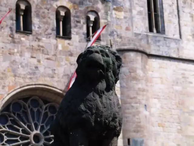 LöwenpudelMemorial · 184 m from the route
- 6
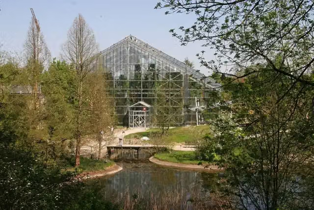 Botanischer GartenAttraction · 209 m from the route
- 7
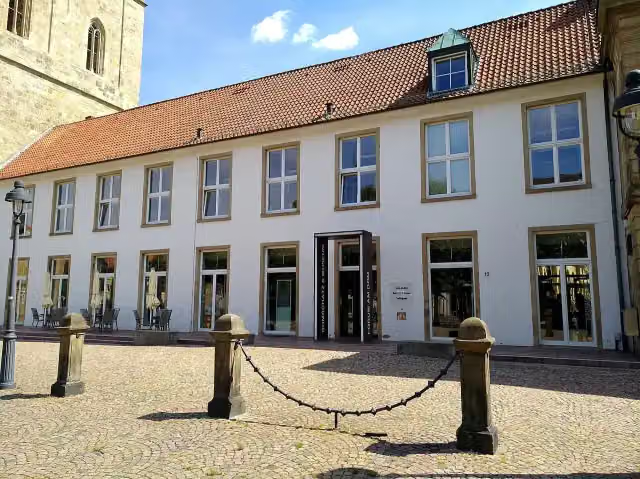 Forum am Dom - Domschatzkammer und DiözesanmuseumMuseum · 221 m from the route
- 8
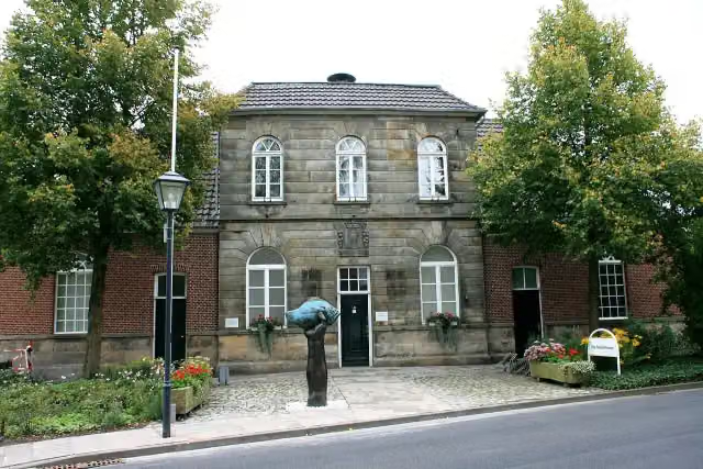 Otto-Pankok-MuseumMuseum · 245 m from the route
- 9
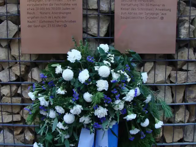 Mahnmal Alte SynagogeMemorial · 268 m from the route
- 10
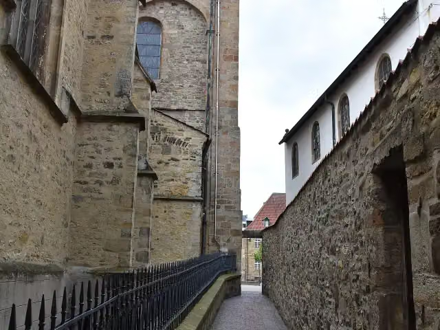 HexengangAttraction · 317 m from the route
- 11
 Naturzoo RheineAttraction · 445 m from the route
- 12
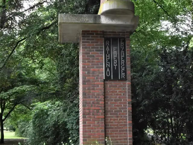 Ebert-Erzberger-Rathenau-DenkmalMemorial · 483 m from the route
- 13
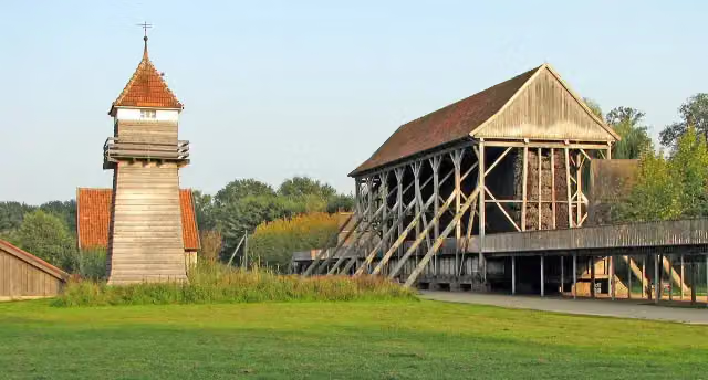 GradierwerkAttraction · 494 m from the route
- 14
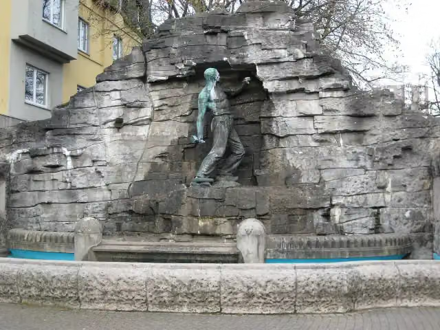 HaarmannsbrunnenAttraction · 502 m from the route
- 15
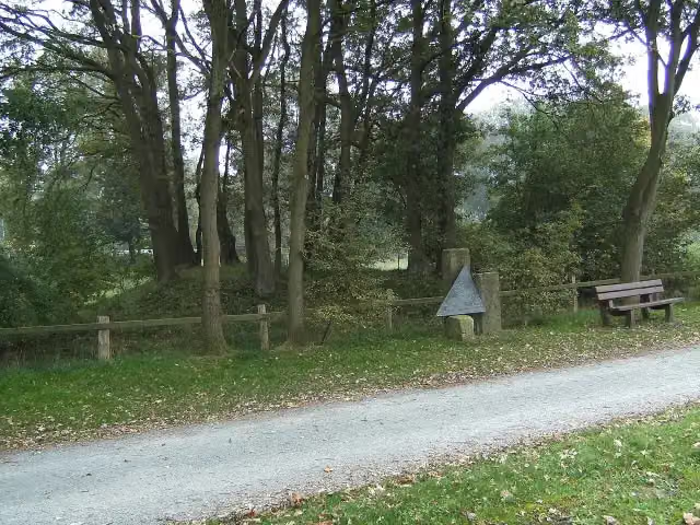 Großsteingrab von RheineArchaeological site · 603 m from the route
- 16
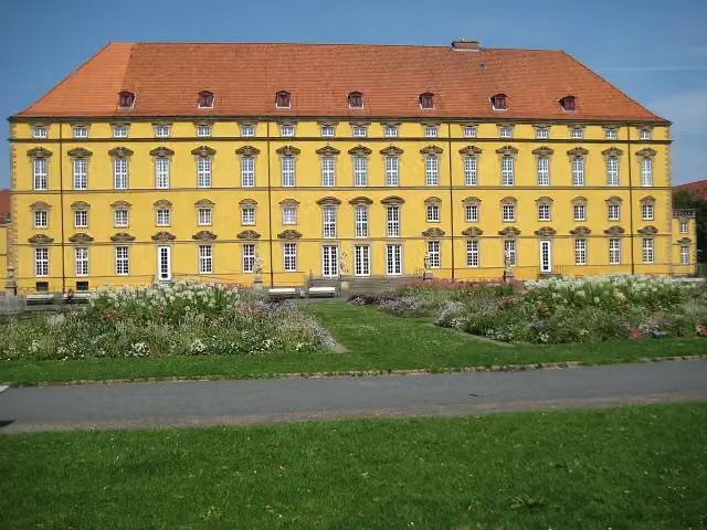 Schloss OsnabrückCastle · 659 m from the route
- 17
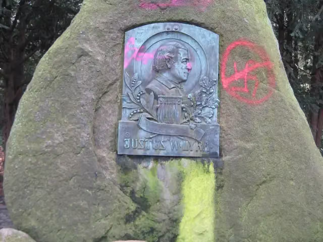 Lyra-DenkmalMemorial · 879 m from the route
- 18
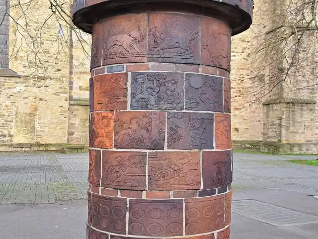 AbluftsäuleMemorial · 1.1 km from the route
- 19
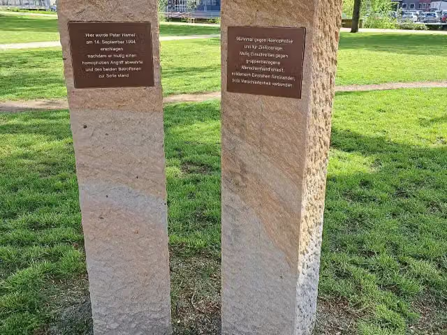 Mahnmal Peter HamelMemorial · 1.3 km from the route
- 20
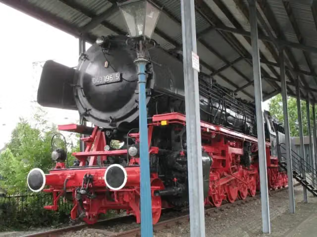 Dampflok 043 196-5Attraction · 1.6 km from the route
- 21
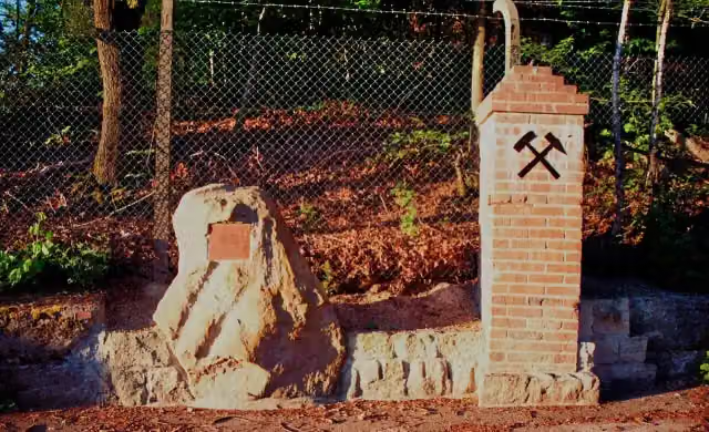 Grube MiekeMemorial · 2.4 km from the route
- 22
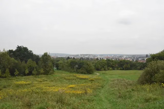 ZiegenbrinkViewpoint · 2.7 km from the route
- 23
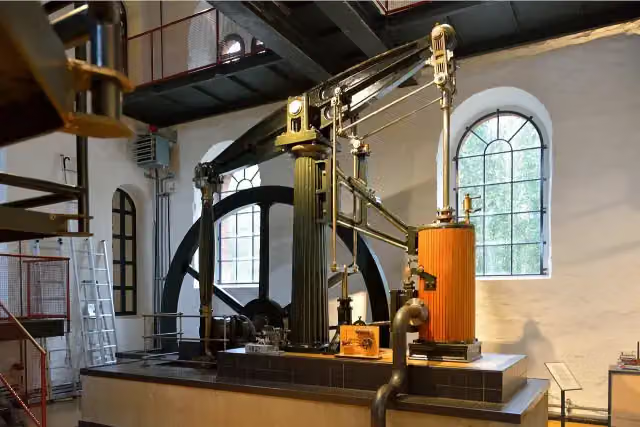 Museum Industriekultur OsnabrückMuseum · 3 km from the route
- 24
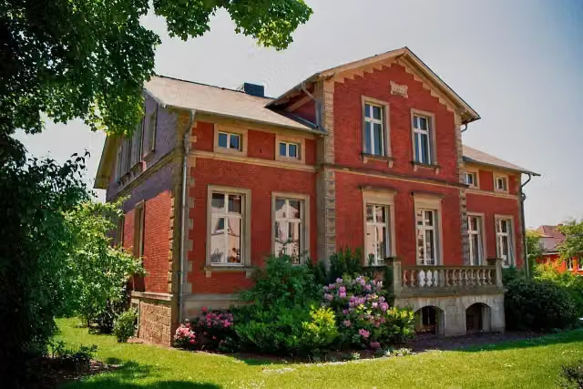 Stadtmuseum IbbenbürenMuseum · 3.5 km from the route
- 25
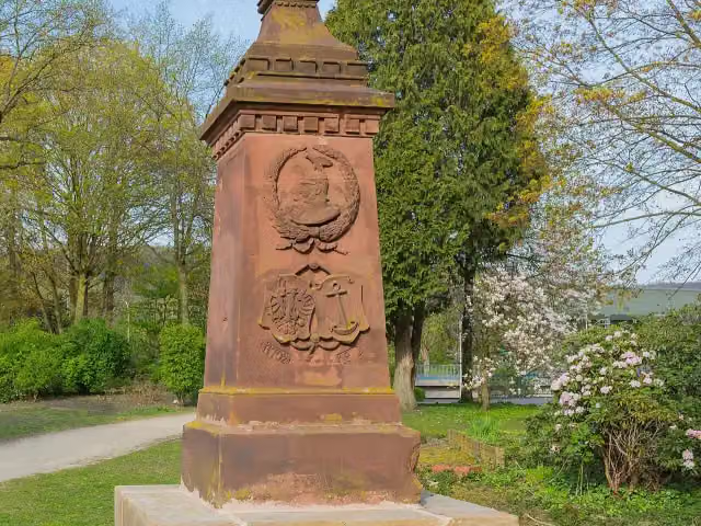 Preußen DenkmalMonument · 3.5 km from the route
Explore more
More walks around Osnabrück
Frequently asked questions
How long is Töddenweg?
Töddenweg is 128.4 km long, in 6 stages of 21.4 km on average. Allow ± 4:55 h per stage of walking: 4.5 km an hour and 10 minutes more per 100 metres of climbing, without breaks.
How many stages does this route have?
The route is split into 6 stages of 21.4 km on average, 128.4 km in all. The shortest stage is 14 km, the longest 30.4 km.
Is this route a circular walk?
No, the route runs from Rathaus Osnabrück to Dinkelbrücke an der Niederländischen Grenze.
Where does this route start?
The route starts in Osnabrück.
How hard is this route?
Hard per stage, with 86 m per stage of climbing.
Are there toilets along this route?
Yes, there are 10 public toilets within 100 m of the route. The longest stretch without a toilet is 78.5 km.
Can you fill up with water along this route?
Yes, there are 8 water fountains and refill points within 100 m of the route.
What is there to see along this route?
Along the way you pass Erich Maria Remarque-Friedenszentrum, Fritz-Wolf-Denkmal and Waterloo-Tor.
Which stage of this route has the most points of interest?
Stage 1 (28.4 km), with 7 points of interest along the route, such as Erich Maria Remarque-Friedenszentrum, Fritz-Wolf-Denkmal and Waterloo-Tor.
Can I download this route as a GPX file?
Yes. Sign in with your Outdoor Pitstop account and choose Download GPX at the top of this page: 10 routes a month for free, unlimited with Pro.
Starting point
More routes from this place
Route data © OpenStreetMap contributors





