 Outdoor Pitstop
Walking route · Konstanz · Updated on 14 November 2026
SeeGang walk
SeeGang is a walk of 53 km from Konstanz. Along the way you'll find 374 benches, 7 water fountains and refill points, 17 public toilets and 3 bike pumps.
i
i
The route step by step
From start to finish, with what you pass along the way and the distance in between.
- 53 km
- ± 13:20 h
- ↑ 921 m · ↓ 900 m
- Hard
- From A to B
- Regional route
Start in Konstanz
0 kmAt the start: public toilet.
172 m · bench
Water point
172 m1.4 km · 39 benches
Public toilet and water point
1.5 km662 m · 14 benches
2 water fountains and refill points
2.2 km2.1 km · 20 benches
Bike pump
4.3 km3.5 km · 17 benches
Public toilet
7.8 km1.3 km · 7 benches
2 public toilets and bike pump
9.1 km3 km · 39 benches
Water point
12.1 km7.1 km · 18 benches

Ruine Burghof
19.2 kmCastle
2.9 km · 7 benches
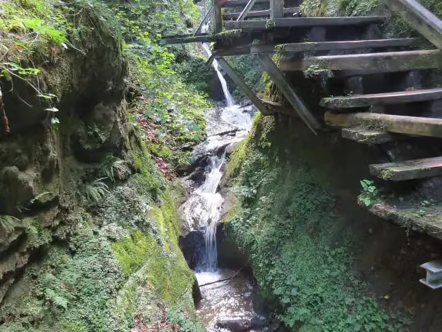
Marienschlucht
22.1 kmAttraction
240 m · 3 benches
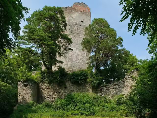
Ruine Kargegg
22.3 kmCastle
345 m · bench
Public toilet
22.7 km9.4 km · 23 benches
Ruine Altbodman
32.1 kmAttraction
1.9 km · 13 benches
Public toilet
33.9 km3 km · 12 benches
Public toilet and water point
37 km277 m · 4 benches
Public toilet
37.3 km831 m · 11 benches
Public toilet
38.1 km367 m · 16 benches
Public toilet and bike pump
38.5 km248 m · 13 benches
Public toilet
38.7 km269 m
3 public toilets
39 km4.4 km · 34 benches
Ruine Hohenfels
43.3 kmRuins
8.2 km · 41 benches
Gedenkstein "Leopold Ziegler 1881-1958"
51.6 kmMemorial
1.4 km · 34 benches
Finish
53 kmAt the finish: 2 public toilets and water point.
Longest stretch without a toilet: 13.9 kmBetween 39 km and 52.9 km there is no public toilet within 100 m of the route.
The route with the pitstops and sights within 100 m of it.
6 sights along the way
In the order you pass them. With the Outdoor Pitstop app you hear their story on the spot.

Castle · after 19.2 km
i
Photo: jens@storchenhof-pap… · Wikimedia Commons · CC BY-SA 3.0View the photo on Wikimedia CommonsAttraction · after 22.1 km
Castle · after 22.3 km
i
Photo: Johannes Robalotoff · Wikimedia Commons · CC BY-SA 4.0View the photo on Wikimedia CommonsAttraction · after 32.1 km
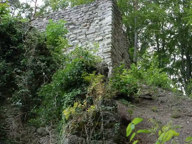
i
Photo: TimoMM · Wikimedia Commons · CC BY 3.0View the photo on Wikimedia CommonsRuins · after 43.3 km
Memorial · after 51.6 km
Elevation and terrain
- Up
- ↑ 921 m
- Down
- ↓ 900 m
- Highest point
- 691 m
- Lowest point
- 397 m
- 5-10% slope · 8 km
- 10-15% slope · 4 km
- 15-20% slope · 799 m
- 14 stairs
Elevation from Copernicus GLO-30 (European Union and ESA), smoothed.
produced using Copernicus WorldDEM-30 © DLR e.V. 2010-2014 and © Airbus Defence and Space GmbH 2014-2018 provided under COPERNICUS by the European Union and ESA; all rights reserved
Way types
53 km in total- Track: 29.2 km
- Path: 13.1 km
- Footpath: 5.3 km
- Street: 3.5 km
- Stairs: 14 stairs
- Road: 350 m
- Cycleway: 50 m
- Unknown: 175 m
Surfaces
53 km in total- Gravel: 24.8 km
- Unpaved: 10.8 km
- Asphalt: 7.1 km
- Paved: 2.7 km
- Natural: 2.5 km
- Unknown: 4.8 km
About the walking route SeeGang
Updated on 14 November 2026, with data from OpenStreetMap, the AHN and Copernicus.
Where do you walk?
SeeGang is a walking route of 53 km that starts in Konstanz. It does not end where it starts. Along the way you pass Ruine Burghof (after 19.2 km), Marienschlucht (after 22.1 km) and Ruine Kargegg (after 22.3 km).
How hard is the route?
You climb 921 m in total and descend 900 m. There are 14 flights of steps along the way. Allow ± 13:20 h, without breaks. The level is hard.
What paths do you walk on?
The longest part is track (29.2 km), path (13.1 km) and footpath (5.3 km). Of the surface, 24.8 km gravel and 10.8 km unpaved. For 4.8 km the surface is not known.
Pitstops along the way
Within 100 metres of the route there are 374 benches, 7 water fountains and refill points, 17 public toilets and 3 bike pumps. The longest stretch without a toilet is 13.9 km. The Outdoor Pitstop app navigates you there.
The SeeGang is a 53 km walking route on Lake Constance, from Konstanz via Allensbach, Radolfzell and Bodman-Ludwigshafen to Überlingen. The Lake Constance four-country region looks after it. On the way you go through the Marienschlucht gorge and past the ruins of Kargegg, Altbodman and Hohenfels, and through the Hödinger Tobel nature reserve. Just over half is on farm and forest tracks, a quarter on paths. You will find drinking water at 7 places and toilets at 17.
Walks nearby
6- Jakobsweg LinzgauHard · From A to B67.5 km
- Bodensee-Rundwanderweg (Stein a. R. - Lindau)Hard · Circular walk163.1 km
- Oberschwäbischer Jakobsweg (2)Hard · From A to B38.4 km
- European Long distance path E1 - part Germany, Baden-Wuerttemberg (region Schwarzwald south)Hard · From A to B134.6 km
- Jakobsweg HegauHard · From A to B78.3 km
- Bodensee-Rundwanderweg - Alternative KonstanzEasy · From A to B2.4 km
Sights nearby
Within 10 km of the route, best known first.
- 1
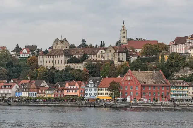 Burg MeersburgAttraction · 5 km from the route
- 2
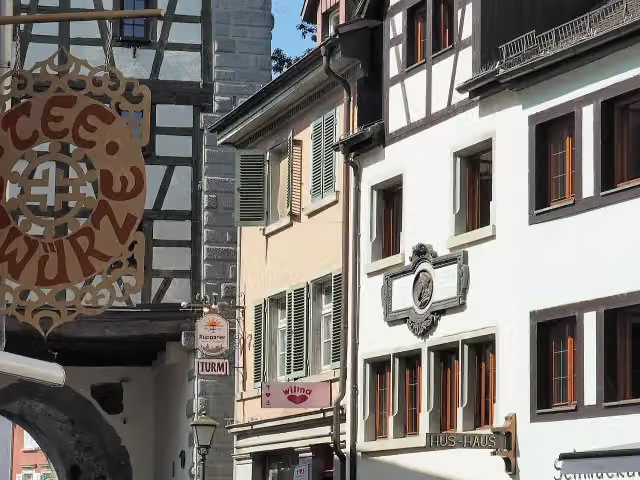 Hus-HausMuseum · 1.8 km from the route
- 3
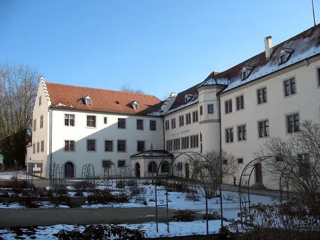 Petershausen AbbeyMuseum · 949 m from the route
- 4
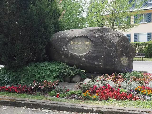 HussensteinMemorial · 2.1 km from the route
- 5
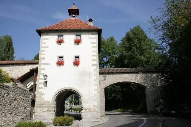 Aufkircher TorAttraction · 248 m from the route
- 6
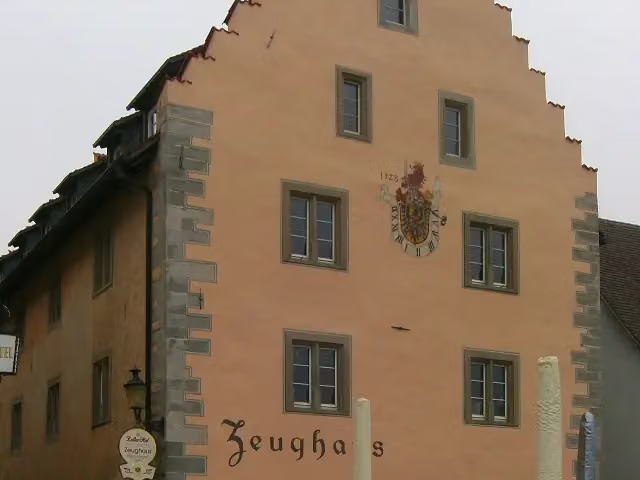 Zeughaus ÜberlingenMonument · 278 m from the route
- 7
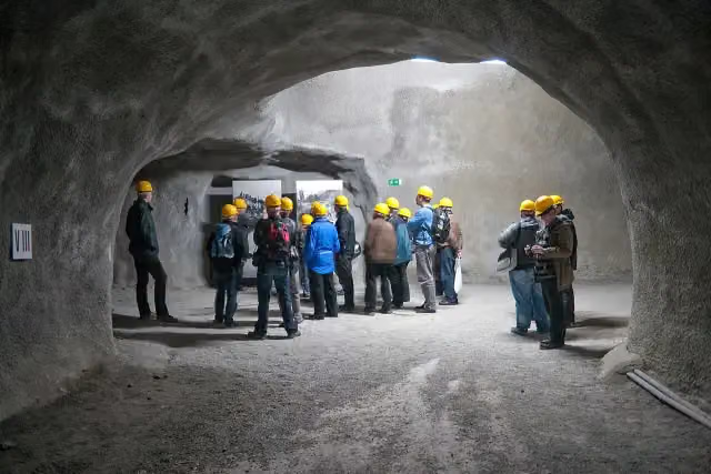 Goldbacher Stollen des ehemaligen KZ ÜberlingenMemorial · 294 m from the route
- 8
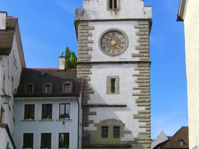 Franziskaner TorAttraction · 341 m from the route
- 9
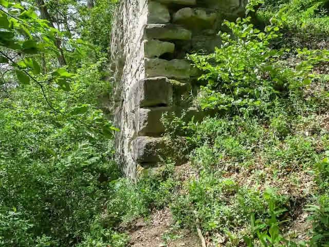 Burgrest Hüneberg (Burghalde)Ruins · 461 m from the route
- 10
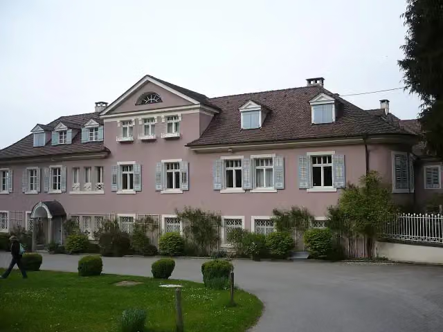 Schloss BodmanCastle · 593 m from the route
- 11
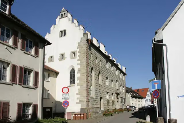 Städtisches MuseumMuseum · 641 m from the route
- 12
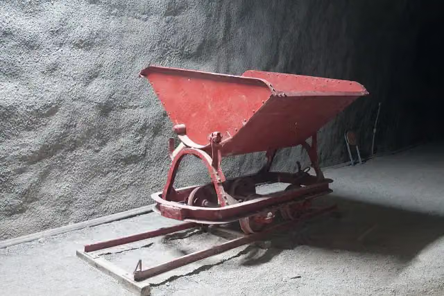 Standort ehemaliges KZ ÜberlingenMemorial · 658 m from the route
- 13
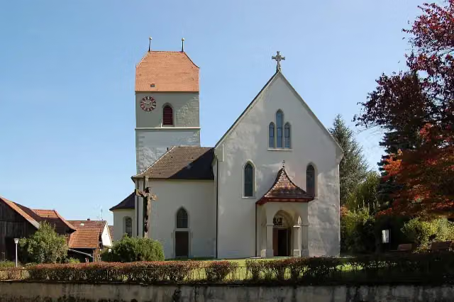 St. Peter und PaulAttraction · 690 m from the route
- 14
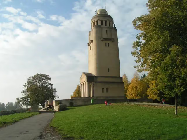 Bismarckturm KonstanzMonument · 736 m from the route
- 15
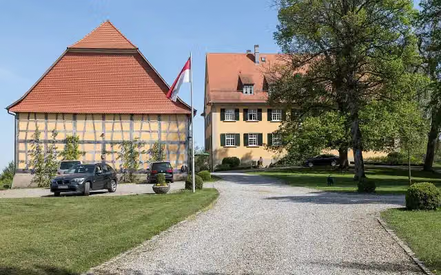 Schloss LangenrainCastle · 766 m from the route
- 16
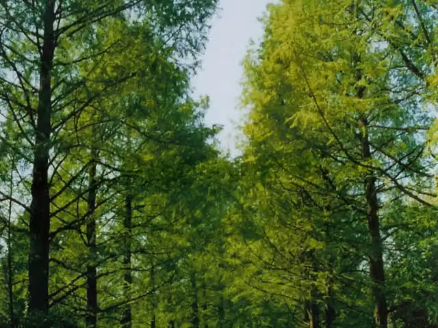 Arboretum (Baumsammlung)Attraction · 1 km from the route
- 17
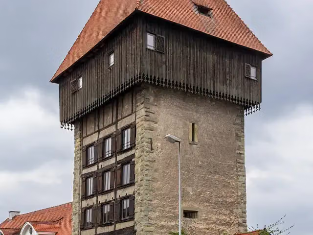 RheintorturmAttraction · 1 km from the route
- 18
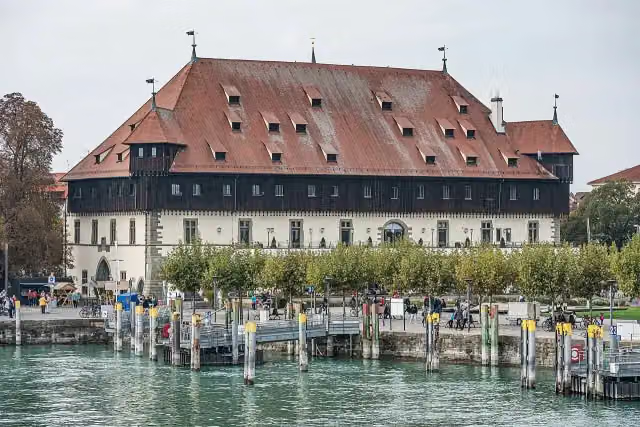 KonzilAttraction · 1.2 km from the route
- 19
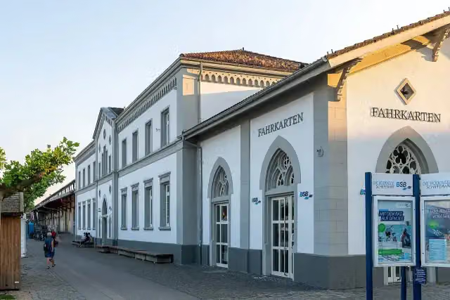 BSB KonstanzAttraction · 1.2 km from the route
- 20
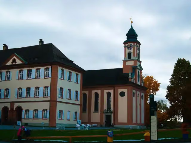 Schloss MainauCastle · 1.2 km from the route
- 21
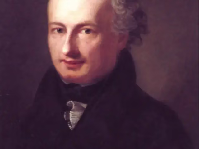 Städtische Wessenberg GalerieMuseum · 1.3 km from the route
- 22
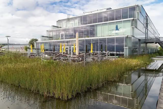 Bodensee-NaturmuseumMuseum · 1.3 km from the route
- 23
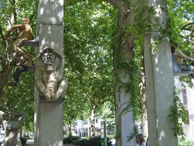 Triumphbogen / LaubebrunnenAttraction · 1.5 km from the route
- 24
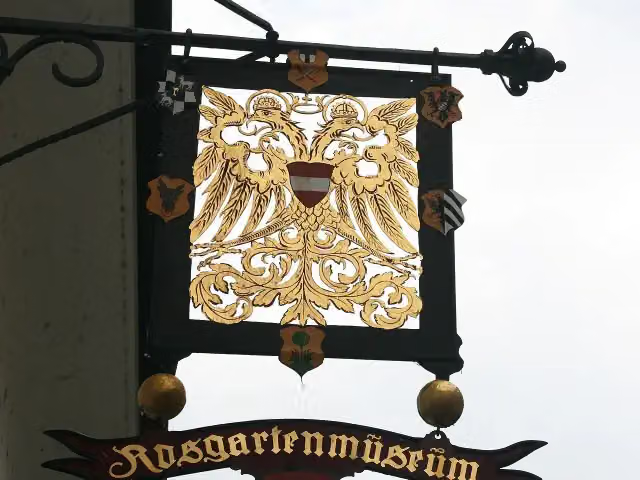 RosgartenmuseumMuseum · 1.5 km from the route
- 25
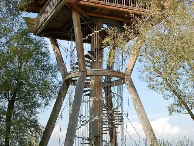 SeeburgturmObservation tower · 1.6 km from the route
Explore more
Frequently asked questions
How long is SeeGang?
SeeGang is 53 km long. Allow ± 13:20 h of walking: 4.5 km an hour and 10 minutes more per 100 metres of climbing, without breaks.
Is this route a circular walk?
No, the route starts and ends at different spots.
Where does this route start?
The route starts in Konstanz.
How hard is this route?
Hard, with 921 m of climbing.
Are there toilets along this route?
Yes, there are 17 public toilets within 100 m of the route. The longest stretch without a toilet is 13.9 km.
Can you fill up with water along this route?
Yes, there are 7 water fountains and refill points within 100 m of the route.
What is there to see along this route?
Along the way you pass Ruine Burghof, Marienschlucht and Ruine Kargegg.
Can I download this route as a GPX file?
Yes. Sign in with your Outdoor Pitstop account and choose Download GPX at the top of this page: 10 routes a month for free, unlimited with Pro.
Starting point
More routes from this place
Route data © OpenStreetMap contributors





