 Outdoor Pitstop
Walking route · Staudernheim · Updated on 14 November 2026
Pfälzerwald Blauer Balken walk
Pfälzerwald Blauer Balken is a walk of 195.3 km from Staudernheim. Along the way you'll find 362 benches, 8 water fountains and refill points, 11 public toilets and 3 bike pumps.
i
i
i
The route step by step
From start to finish, with what you pass along the way and the distance in between.
- 195.3 km
- ± 51:20 h
- ↑ 4,748 m · ↓ 4,537 m
- Hard
- From A to B
- National route
Start in Staudernheim
0 km1.3 km · 3 benches

Klostermuseum Scivias-Stiftung
1.3 kmPublic toilet
18.2 km · 49 benches
Ebernburg and 1 more
19.4 kmHutten-Sickingen-Denkmal
19.4 km · 35 benches
2 public toilets
38.9 km12.6 km · 29 benches
Schneckenturm and 1 more
51.5 kmWartturm
8.5 km · 25 benches
Donnersberghaus
60 kmMuseum
2.7 km · 12 benches
Ludwigsturm
62.7 kmObservation tower
14.5 km · 8 benches
Public toilet
77.2 km1.7 km · 7 benches
Glockenturm
78.9 kmObservation tower
2.6 km · 6 benches
Public toilet
81.5 km16.2 km · 29 benches
Bike pump
97.7 km705 m · 2 benches
Bismarckturm Kallstadt
98.4 kmPublic toilet
2.1 km · 6 benches
Teufelsstein
100.5 kmAttraction
733 m · 3 benches
Heidenmauer
101.2 kmArchaeological site
629 m · 4 benches
Kaiser-Wilhelm-Höhe
101.8 kmAttraction
3.4 km · 17 benches
Limburg Abbey
105.2 kmPublic toilet
3.6 km · 19 benches
Burgruine Hardenburg
108.8 kmPublic toilet
40.2 km · 33 benches
Water point
149 km13.4 km · 14 benches
Museum unterm Trifels
162.4 kmPublic toilet
215 m · 9 benches
Water point
162.6 km431 m · 6 benches
Water point
163 km489 m · bench
Public toilet
163.5 km5.9 km · 10 benches
Water point
169.4 km6.8 km · 5 benches
Water point
176.2 km2.5 km · 5 benches
Water point
178.7 km222 m · 2 benches
Water point
179 km600 m
Berwartstein
179.6 kmPublic toilet
466 m · bench
Burgruine Klein-Frankreich
180 kmCastle
8.8 km · 6 benches
Bike pump
188.8 km4.9 km · 15 benches
Water point and bike pump
193.6 km
Show the other 1 steps
1.6 km · bench
Finish
195.3 km
Longest stretch without a toilet: 53.6 kmBetween 108.8 km and 162.4 km there is no public toilet within 100 m of the route.
The route with the pitstops and sights within 100 m of it.
17 sights along the way
In the order you pass them. With the Outdoor Pitstop app you hear their story on the spot. 9 more along the route are on the map.

Museum · after 1.3 km
i
Photo: Manuel Fuchs · Wikimedia Commons · CC BY-SA 2.0 deView the photo on Wikimedia CommonsAttraction · after 19.4 km
Memorial · after 19.6 km
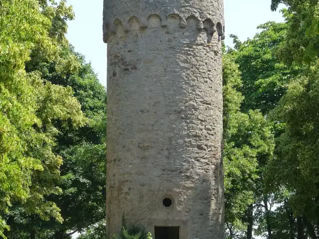
Observation tower · after 51.5 km
i
Photo: Muck · Wikimedia Commons · CC BY-SA 4.0View the photo on Wikimedia CommonsObservation tower · after 51.6 km
Museum · after 60 km
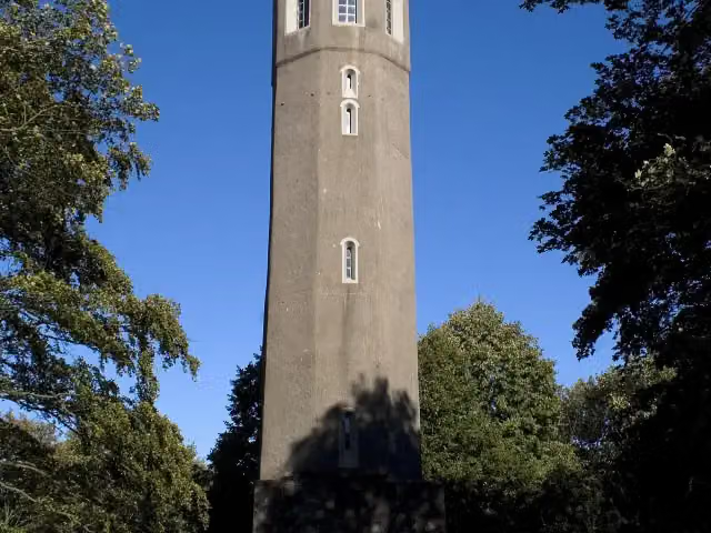
i
Photo: Mosbach&frey · Wikimedia Commons · CC BY-SA 3.0View the photo on Wikimedia CommonsObservation tower · after 62.7 km
Observation tower · after 78.9 km
Elevation and terrain
- Up
- ↑ 4,748 m
- Down
- ↓ 4,537 m
- Highest point
- 678 m
- Lowest point
- 125 m
- 5-10% slope · 60.8 km
- 10-15% slope · 12.8 km
- 25 stairs
Elevation from Copernicus GLO-30 (European Union and ESA), smoothed.
produced using Copernicus WorldDEM-30 © DLR e.V. 2010-2014 and © Airbus Defence and Space GmbH 2014-2018 provided under COPERNICUS by the European Union and ESA; all rights reserved
Way types
195.3 km in total- Track: 118.8 km
- Path: 41 km
- Street: 18.5 km
- Road: 9.4 km
- Busy road: 4.1 km
- Stairs: 25 stairs
- Footpath: 975 m
Surfaces
195.3 km in total- Unpaved: 41.5 km
- Asphalt: 33.4 km
- Gravel: 31.8 km
- Paved: 8.4 km
- Natural: 3.8 km
- Unknown: 75.6 km
About the walking route Pfälzerwald Blauer Balken
Updated on 14 November 2026, with data from OpenStreetMap, the AHN and Copernicus.
Where do you walk?
Pfälzerwald Blauer Balken is a walking route of 195.3 km that starts in Staudernheim. It does not end where it starts. Along the way you pass Klostermuseum Scivias-Stiftung (after 1.3 km), Ebernburg (after 19.4 km) and Hutten-Sickingen-Denkmal (after 19.6 km).
How hard is the route?
You climb 4,748 m in total and descend 4,537 m. There are 25 flights of steps along the way. Allow ± 51:20 h, without breaks. The level is hard.
What paths do you walk on?
The longest part is track (118.8 km), path (41 km) and street (18.5 km). Of the surface, 41.5 km unpaved and 33.4 km asphalt. For 75.6 km the surface is not known.
Pitstops along the way
Within 100 metres of the route there are 362 benches, 8 water fountains and refill points, 11 public toilets and 3 bike pumps. The longest stretch without a toilet is 53.6 km. The Outdoor Pitstop app navigates you there.
Walks nearby
6- Weinwanderweg Rhein-NaheHard · From A to B96.2 km
- Hildegard von Bingen PilgerwanderwegHard · From A to B133.4 km
- Via Sancti Martini HW-39-04 Sponheim - Bad SobernheimModerate · From A to B11.9 km
- NahehöhenwegHard · From A to B117.9 km
- Via Sancti Martini HW-39-05 Bad Sobernheim - SimmertalHard · From A to B17 km
- Pfälzerwald Blauer Punkt: Niedernhausen/Nahe <=> AlsenzHard · From A to B24.6 km
Sights nearby
Within 10 km of the route, best known first.
- 1
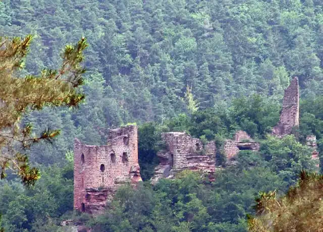 Grand-WasigensteinCastle · 3.5 km from the route
- 2
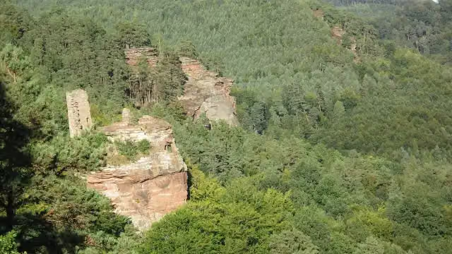 Château du Petit ArnsbourgCastle · 4.2 km from the route
- 3
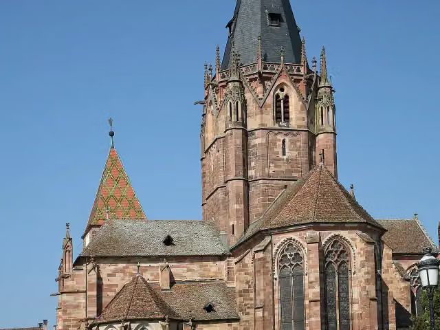 Abbatiale Saint-Pierre et Saint-PaulAttraction · 8.7 km from the route
- 4
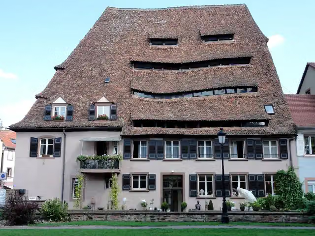 Maison du selAttraction · 8.8 km from the route
- 5
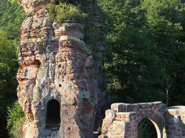 Château de FrœnsbourgCastle · 395 m from the route
- 6
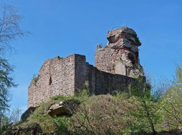 Château de HohenbourgCastle · 587 m from the route
- 7
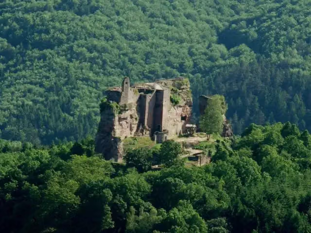 Château de FleckensteinAttraction · 692 m from the route
- 8
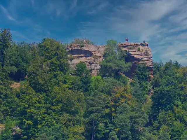 Château du LoewensteinCastle · 853 m from the route
- 9
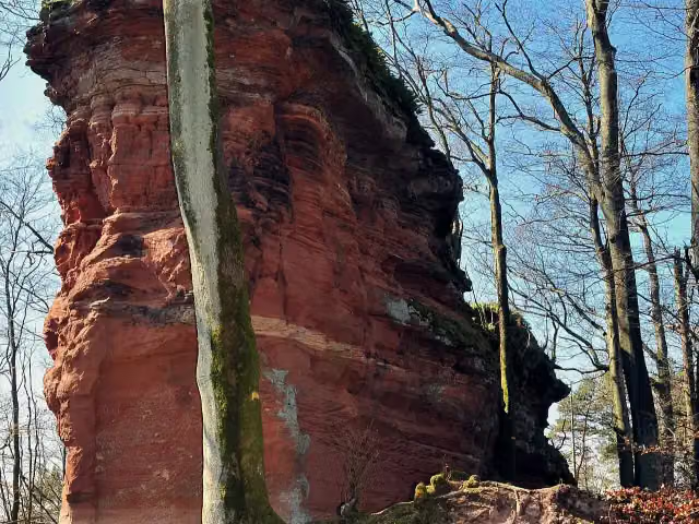 Château de WittschloesselCastle · 5.3 km from the route
- 10
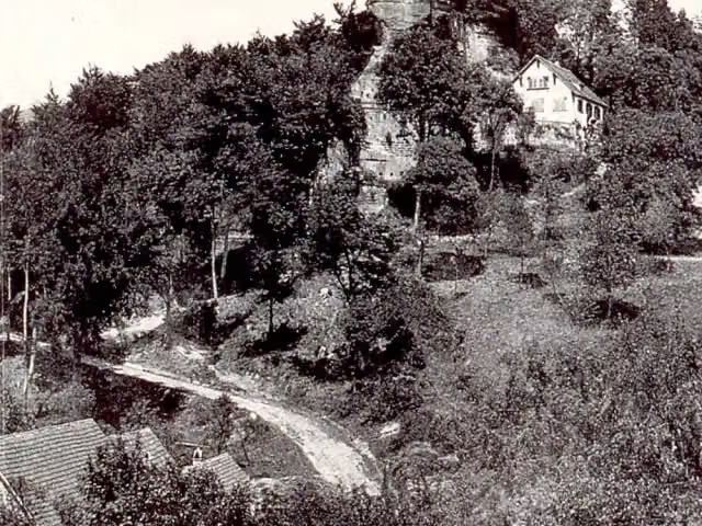 Château du Vieux-WindsteinCastle · 6.6 km from the route
- 11
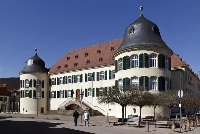 Schloss Bad BergzabernCastle · 8.5 km from the route
- 12
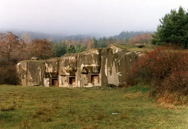 Ouvrage du Hochwald - BA901Attraction · 9.1 km from the route
- 13
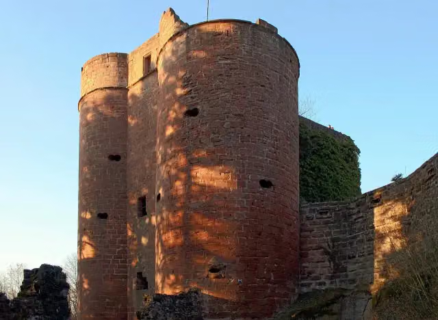 Neudahn CastleCastle · 9.4 km from the route
- 14
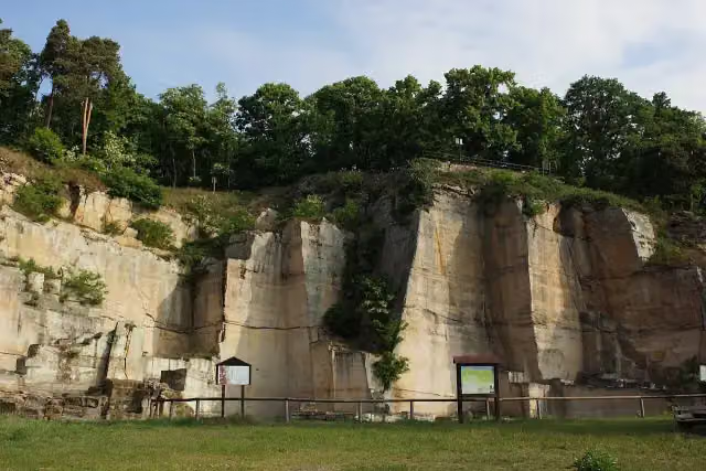 KriemhildenstuhlAttraction · 115 m from the route
- 15
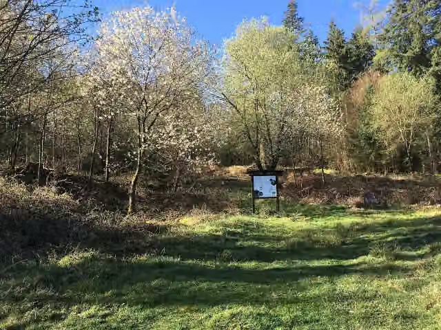 Ruine GeiskopfhofAttraction · 120 m from the route
- 16
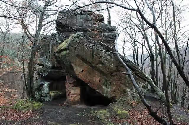 NonnenfelsAttraction · 128 m from the route
- 17
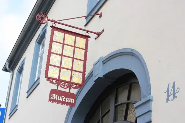 HeimatmuseumMuseum · 152 m from the route
- 18
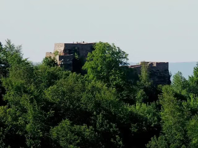 WegelnburgCastle · 166 m from the route
- 19
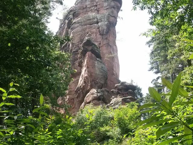 AsselsteinAttraction · 168 m from the route
- 20
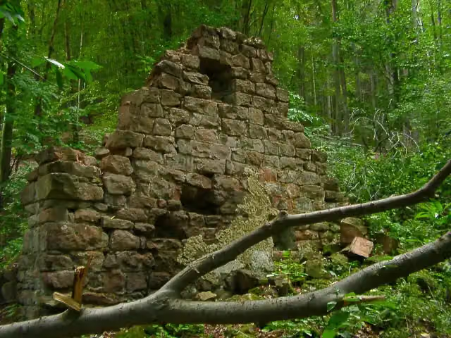 Hofruine WeilachAttraction · 168 m from the route
- 21
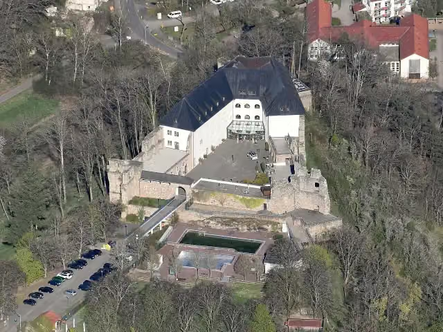 Burg AltleiningenCastle · 169 m from the route
- 22
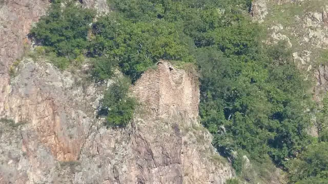 Burgruine AffensteinCastle · 179 m from the route
- 23
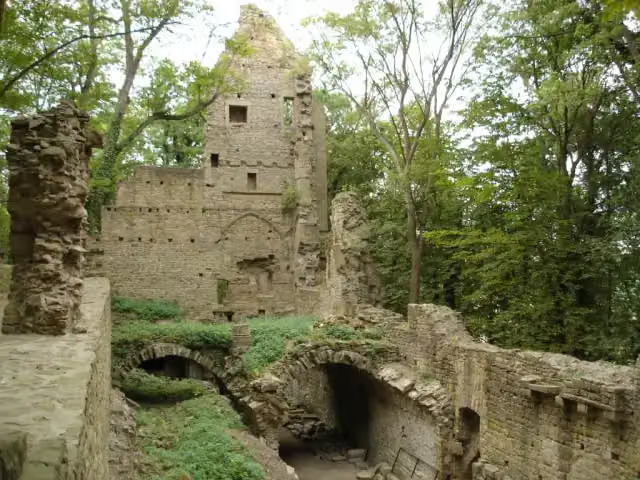 Kloster DisibodenbergMuseum · 179 m from the route
- 24
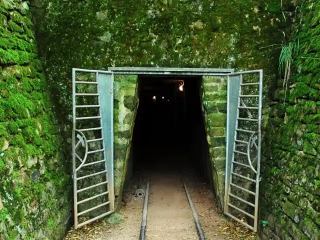 Besucherbergwerk SchmittenstollenAttraction · 184 m from the route
- 25
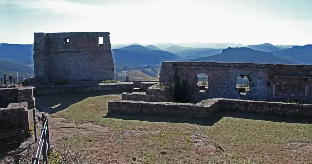 LindelbrunnCastle · 184 m from the route
Explore more
More walks around Staudernheim
Frequently asked questions
How long is Pfälzerwald Blauer Balken?
Pfälzerwald Blauer Balken is 195.3 km long. Allow ± 51:20 h of walking: 4.5 km an hour and 10 minutes more per 100 metres of climbing, without breaks.
Is this route a circular walk?
No, the route starts and ends at different spots.
Where does this route start?
The route starts in Staudernheim.
How hard is this route?
Hard, with 4,748 m of climbing.
Are there toilets along this route?
Yes, there are 11 public toilets within 100 m of the route. The longest stretch without a toilet is 53.6 km.
Can you fill up with water along this route?
Yes, there are 8 water fountains and refill points within 100 m of the route.
What is there to see along this route?
Along the way you pass Klostermuseum Scivias-Stiftung, Ebernburg and Hutten-Sickingen-Denkmal.
Can I download this route as a GPX file?
Yes. Sign in with your Outdoor Pitstop account and choose Download GPX at the top of this page: 10 routes a month for free, unlimited with Pro.
Starting point
More routes from this place
Route data © OpenStreetMap contributors





