 Outdoor Pitstop
Walking route · Bergisch Gladbach · Updated on 14 November 2026
[<5] Wanderweg 5 des KEV [Bergisch-Gladbach] walk
[<5] Wanderweg 5 des KEV [Bergisch-Gladbach] is a walk of 1.3 km from Bergisch Gladbach. Along the way you'll find 2 benches.
The route step by step
From start to finish, with what you pass along the way and the distance in between.
- 1.3 km
- ± 20 min
- ↑ 11 m · ↓ 10 m
- Easy
- From A to B
- Regional route
Start in Bergisch Gladbach
0 km1.3 km · 2 benches
Finish
1.3 km
No public toilet along the wayThere is no public toilet within 100 m of the route. Go before you start, or find one a bit further away in the app.
The route with the pitstops and sights within 100 m of it.
Elevation and terrain
- Up
- ↑ 11 m
- Down
- ↓ 10 m
- Highest point
- 146 m
- Lowest point
- 132 m
Nowhere steeper than 5%.
Elevation from Copernicus GLO-30 (European Union and ESA), smoothed.
produced using Copernicus WorldDEM-30 © DLR e.V. 2010-2014 and © Airbus Defence and Space GmbH 2014-2018 provided under COPERNICUS by the European Union and ESA; all rights reserved
Way types
1.3 km in total- Track: 1.3 km
Surfaces
1.3 km in total- Gravel: 875 m
- Unknown: 406 m
About the walking route [<5] Wanderweg 5 des KEV [Bergisch-Gladbach]
Updated on 14 November 2026, with data from OpenStreetMap, the AHN and Copernicus.
Where do you walk?
[<5] Wanderweg 5 des KEV [Bergisch-Gladbach] is a walking route of 1.3 km that starts in Bergisch Gladbach. It does not end where it starts.
How hard is the route?
The route is almost flat. You climb 11 m in total and descend 10 m. Allow ± 20 min, without breaks. The level is easy.
What paths do you walk on?
The longest part is track (1.3 km). Of the surface, 875 m gravel. For 406 m the surface is not known.
Pitstops along the way
Within 100 metres of the route there are 2 benches. There is no public toilet within 100 metres of the route. The Outdoor Pitstop app navigates you there.
Part of [<5] Wanderweg 5 des KEV
Walks nearby
6- [<5] Wanderweg 5 des KEV [Köln]Easy · From A to B3 km
- [K] Kölner Weg [01] Rösrath - SülzeModerate · From A to B16 km
- KölnpfadHard · From A to B159.5 km
- X22 Kurkölner Weg [Rösrath]Moderate · From A to B16.4 km
- [▶14] Königsforst-ThielenbruchModerate · From A to B15.8 km
- [<2] Wanderweg 2 des KEV [Köln]Easy · From A to B3 km
Sights nearby
Within 10 km of the route, best known first.
- 1
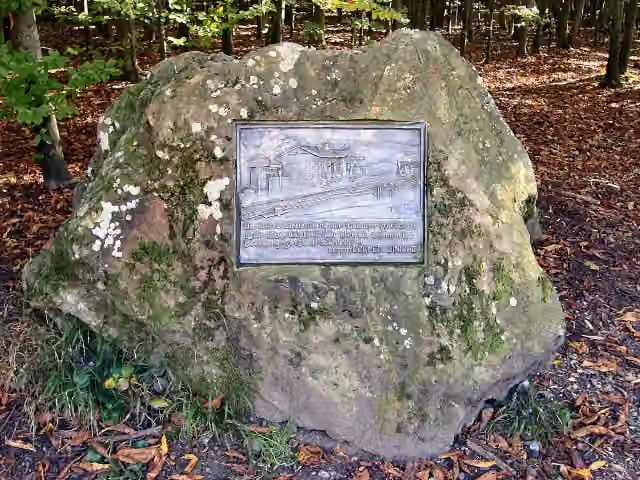 ehemaliger Bahnhof ForsbachMemorial · 696 m from the route
- 2
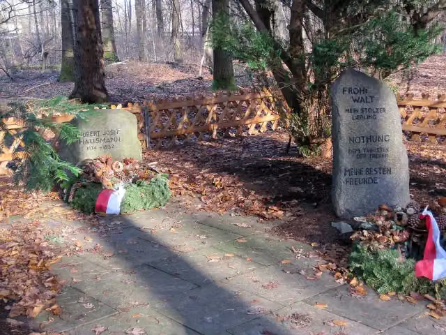 WaldfriedhofMemorial · 2.5 km from the route
- 3
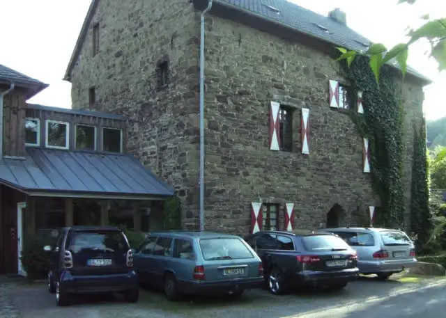 ScheltensülzCastle · 2.9 km from the route
- 4
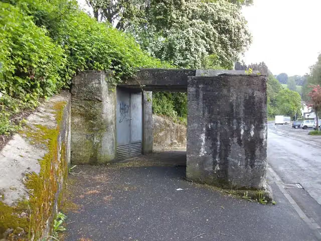 Bunker HoffnungsthalAttraction · 3.4 km from the route
- 5
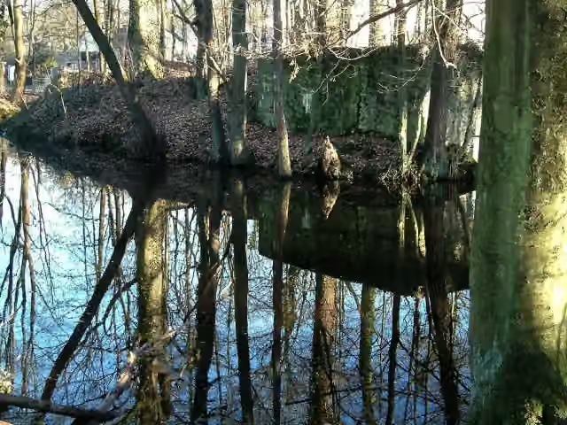 Motte KippekausenRuins · 3.6 km from the route
- 6
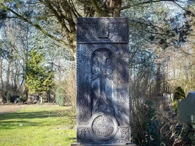 MemorialMemorial · 3.9 km from the route
- 7
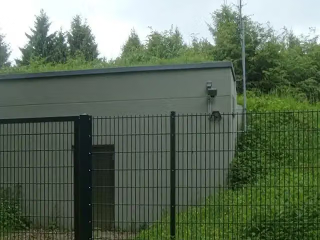 Ringwall LüderichArchaeological site · 4 km from the route
- 8
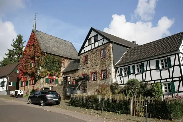 Bergisches Museum für Bergbau, Handwerk und GewerbeMuseum · 4.2 km from the route
- 9
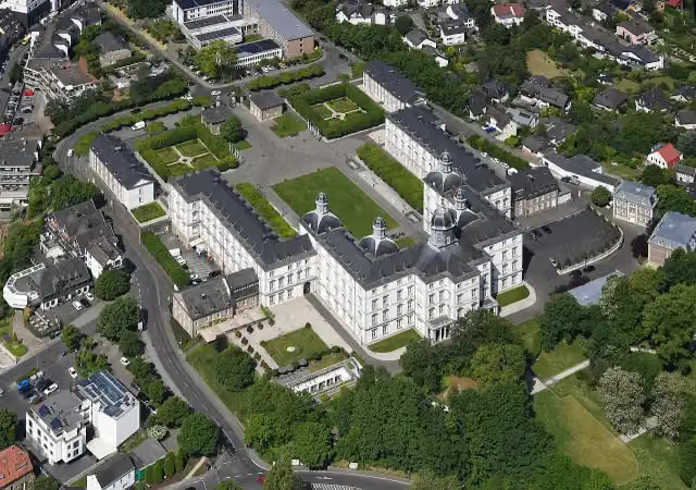 Schloss BensbergAttraction · 4.4 km from the route
- 10
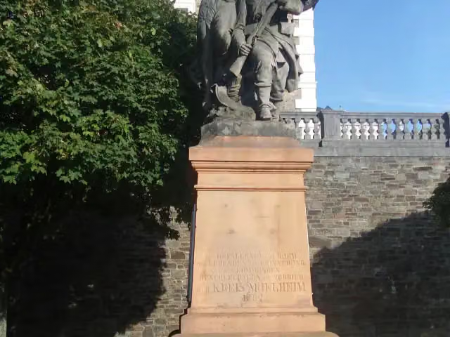 Kriegerdenkmal BensbergMemorial · 4.4 km from the route
- 11
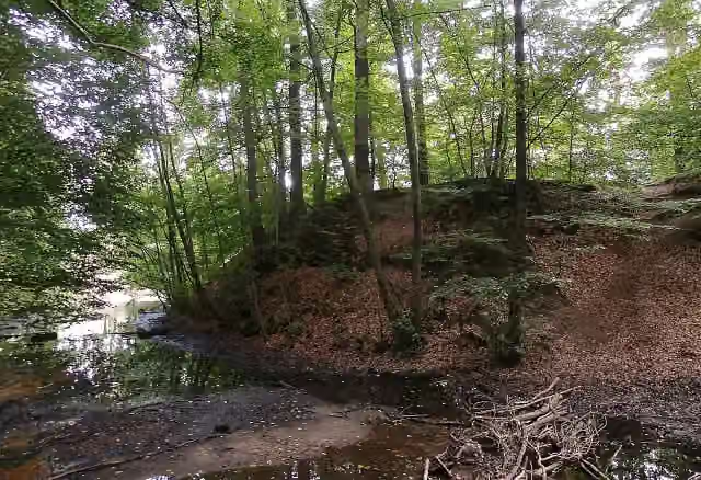 Motte Saaler MühleArchaeological site · 4.4 km from the route
- 12
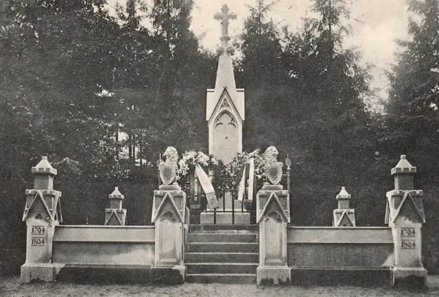 Ruhestätte österreichischer KriegerMemorial · 5.1 km from the route
- 13
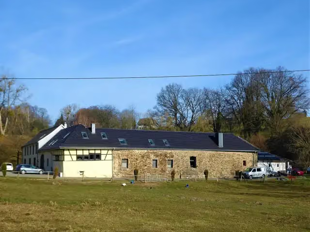 Burg SchönrathCastle · 6 km from the route
- 14
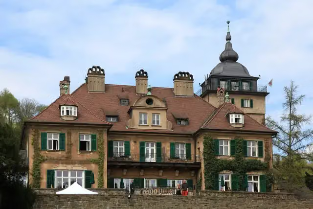 Haus LerbachCastle · 6.2 km from the route
- 15
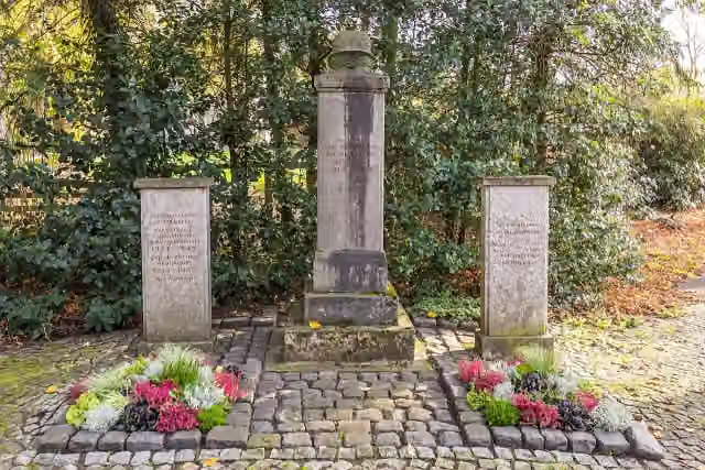 MemorialMemorial · 6.6 km from the route
- 16
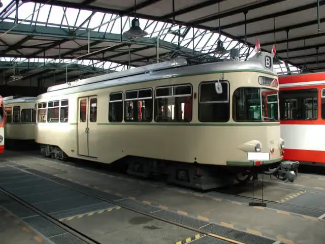 Straßenbahn-Museum ThielenbruchMuseum · 6.8 km from the route
- 17
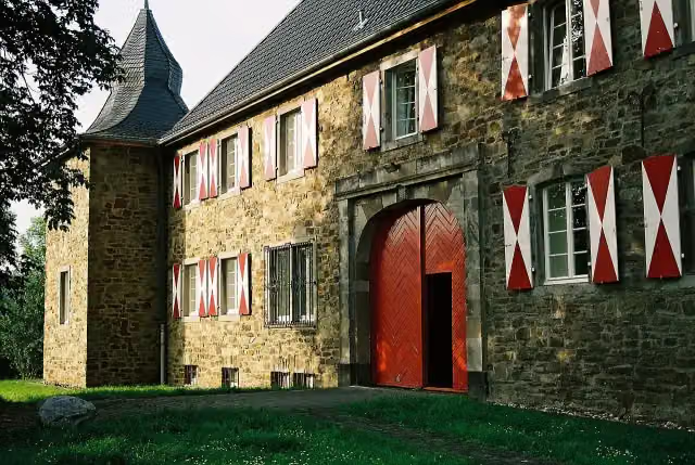 Burg SülzCastle · 7 km from the route
- 18
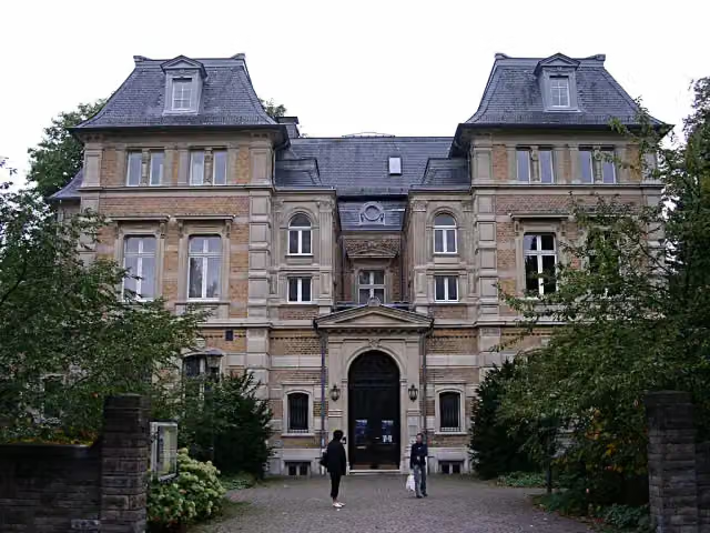 Kunstmuseum Villa ZandersMuseum · 7.1 km from the route
- 19
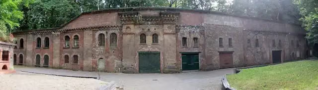 Fort XFort · 7.2 km from the route
- 20
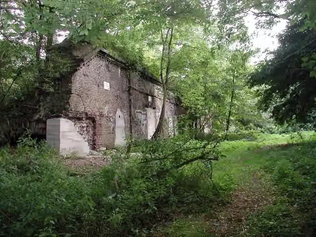 Zwischenwerk IX bFort · 7.8 km from the route
- 21
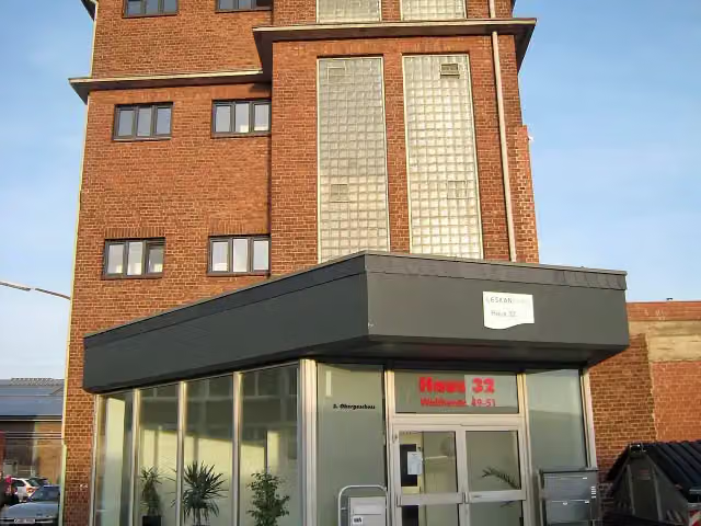 RadioMuseum KölnMuseum · 7.8 km from the route
- 22
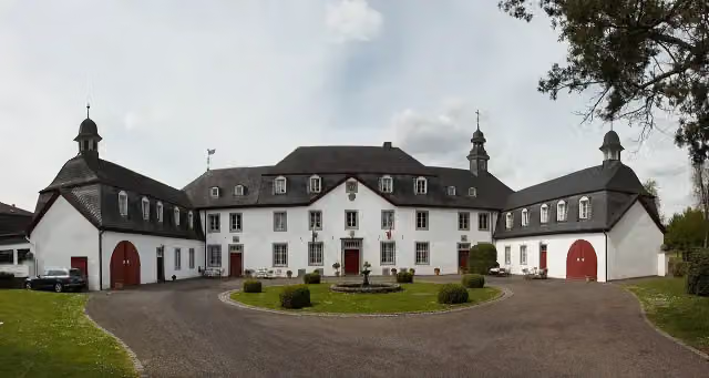 Schloss Auel mit Schlosskapelle "Sankt Johannes Nepomuk" .Castle · 8.1 km from the route
- 23
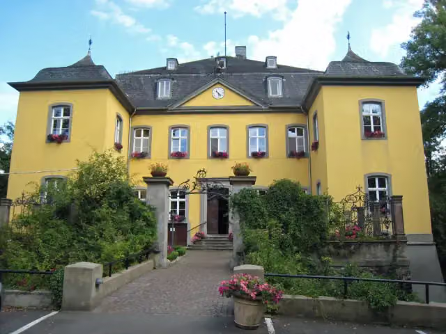 Haus BleggeCastle · 8.2 km from the route
- 24
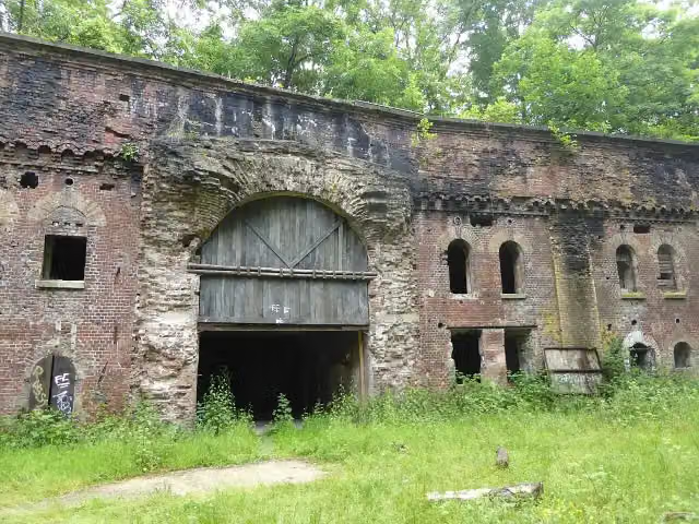 Fort IXFort · 8.3 km from the route
- 25
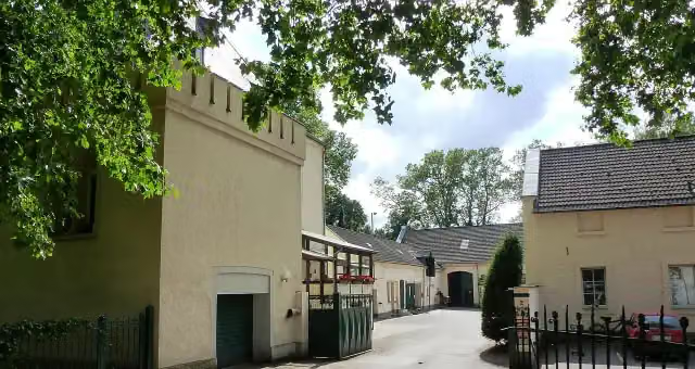 Haus HerlCastle · 8.4 km from the route
Explore more
More walks around Bergisch Gladbach
Frequently asked questions
How long is [<5] Wanderweg 5 des KEV [Bergisch-Gladbach]?
[<5] Wanderweg 5 des KEV [Bergisch-Gladbach] is 1.3 km long. Allow ± 20 min of walking: 4.5 km an hour and 10 minutes more per 100 metres of climbing, without breaks.
Is this route a circular walk?
No, the route starts and ends at different spots.
Where does this route start?
The route starts in Bergisch Gladbach.
How hard is this route?
Easy, with 11 m of climbing.
Are there toilets along this route?
No, there is no public toilet within 100 m of the route. Go before you start.
Can you fill up with water along this route?
No, there is no water point within 100 m of the route. Bring enough water.
Can I download this route as a GPX file?
Yes. Sign in with your Outdoor Pitstop account and choose Download GPX at the top of this page: 10 routes a month for free, unlimited with Pro.
Starting point
More routes from this place
Route data © OpenStreetMap contributors





