 Outdoor Pitstop
Walking route · Pirna · Updated on 14 November 2026
Malerweg walk
Malerweg is a walk of 116.9 km from Pirna. Along the way you'll find 392 benches, 8 water fountains and refill points, 26 public toilets and 2 bike pumps.
i
i
i
The route step by step
From start to finish, with what you pass along the way and the distance in between.
- 116.9 km
- ± 31:00 h
- ↑ 3,020 m · ↓ 2,993 m
- Hard
- From A to B
- Regional route
Start in Pirna
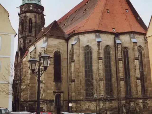
0 kmAt the start: St. Mary's Church and water point.
183 m · 16 benches

Schloss Sonnenstein
183 mPublic toilet
363 m · 9 benches
Gedenkstätte Sonnenstein
546 mMuseum
3.5 km · 6 benches
Bike pump
4 km674 m · bench
Public toilet
4.7 km332 m · bench
Public toilet
5 km3.8 km · 6 benches
Public toilet
8.9 km1.9 km · 8 benches
Robert-Sterl-Haus
10.7 kmBike pump
6.4 km · 14 benches
Thürmsdorfer Schloss
17.1 kmPublic toilet
3.3 km · 14 benches
2 public toilets
20.5 km1.5 km · 19 benches
Public toilet and water point
22 km5.1 km · 34 benches
Aussichtsturm
27.1 kmPublic toilet
5.1 km · 33 benches
Public toilet
32.2 km456 m · bench
Public toilet
32.7 km13.4 km · 42 benches
Gedenkpfeiler 1914-1918
46.1 kmMemorial
1.7 km · 8 benches
2 public toilets
47.8 km171 m · 4 benches
Public toilet
48 km2.1 km · bench
Aussichtsturm Großer Winterberg
50.1 kmObservation tower
154 m
2 public toilets
50.2 km3.7 km · 2 benches
Public toilet
54 km7.3 km · 4 benches
Buschmühle
61.2 kmMuseum
294 m
Neumannmühle
61.5 kmPublic toilet and water point
2.5 km · 2 benches
Neuer Wildenstein and 1 more
64 kmKuhstall and public toilet
1.6 km · bench
Lichtenhainer Wasserfall
65.6 kmPublic toilet
1.9 km · 5 benches
Bloßstock
67.5 kmAttraction
3.2 km
Kleines Prebischtor
70.6 kmAttraction
7.1 km
Public toilet and 4 water fountains and refill points
77.8 km10.9 km · 25 benches
Public toilet
88.7 km12.8 km · 41 benches
Felsenburg Neurathen
101.5 kmRuins
230 m · 2 benches
2 public toilets
101.7 km
Show the other 5 steps
1.2 km · 5 benches
Steinerner Tisch
102.9 kmMemorial
2.2 km · 22 benches
Kriegerdenkmal and 1 more
105.1 kmBurgruine Wehlen, public toilet and water point
10.4 km · 44 benches
Richard-Wagner-Denkmal
115.5 kmMemorial
226 m · 5 benches
Elektrizitätswerk Copitz
115.8 kmRuins
1.1 km · 12 benches
Finish
116.9 kmAt the finish: public toilet.
Longest stretch without a toilet: 15.1 kmBetween 32.7 km and 47.8 km there is no public toilet within 100 m of the route.
The route with the pitstops and sights within 100 m of it.
21 sights along the way
In the order you pass them. With the Outdoor Pitstop app you hear their story on the spot. 13 more along the route are on the map.
i
Photo: Norbert Kaiser · Wikimedia Commons · CC BY-SA 2.5View the photo on Wikimedia CommonsAttraction · after 0 m
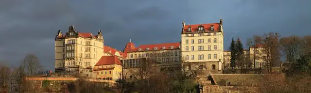
Schloss Sonnenstein
Castle · after 218 m
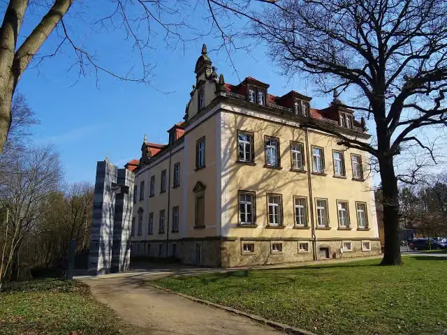
i
Photo: Kalispera Dell · Wikimedia Commons · CC BY 3.0View the photo on Wikimedia CommonsMuseum · after 546 m

Museum · after 10.8 km
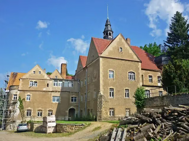
i
Photo: SchiDD · Wikimedia Commons · CC BY-SA 3.0View the photo on Wikimedia CommonsCastle · after 17.1 km
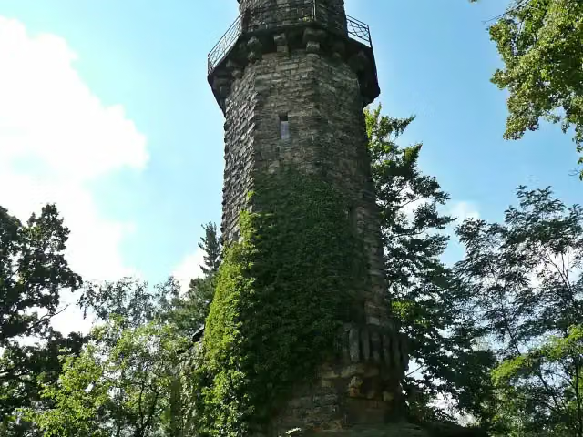
i
Photo: Norbert Kaiser · Wikimedia Commons · CC BY-SA 3.0View the photo on Wikimedia CommonsObservation tower · after 27.1 km
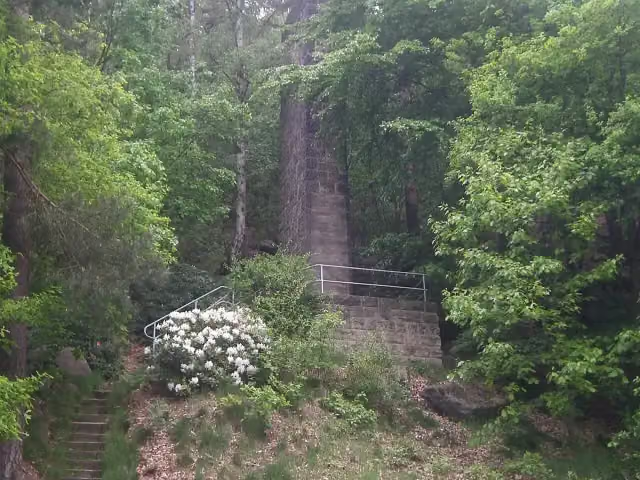
Memorial · after 46.1 km
Observation tower · after 50.1 km
Elevation and terrain
- Up
- ↑ 3,020 m
- Down
- ↓ 2,993 m
- Highest point
- 536 m
- Lowest point
- 111 m
- 5-10% slope · 26.4 km
- 10-15% slope · 12.3 km
- 15-20% slope · 3.5 km
- 20% slope or steeper · 587 m
- 73 stairs
Elevation from Copernicus GLO-30 (European Union and ESA), smoothed.
produced using Copernicus WorldDEM-30 © DLR e.V. 2010-2014 and © Airbus Defence and Space GmbH 2014-2018 provided under COPERNICUS by the European Union and ESA; all rights reserved
Way types
116.9 km in total- Path: 43.7 km
- Track: 39.6 km
- Street: 14 km
- Stairs: 73 stairs
- Road: 6.5 km
- Busy road: 2.4 km
- Footpath: 425 m
- Unknown: 50 m
Surfaces
116.9 km in total- Unpaved: 47 km
- Gravel: 27.9 km
- Asphalt: 21.3 km
- Paved: 10 km
- Natural: 5.4 km
- Unknown: 4.5 km
About the walking route Malerweg
Updated on 14 November 2026, with data from OpenStreetMap, the AHN and Copernicus.
Where do you walk?
Malerweg is a walking route of 116.9 km that starts in Pirna. It does not end where it starts. Along the way you pass St. Mary's Church (after 0 m), Schloss Sonnenstein (after 218 m) and Gedenkstätte Sonnenstein (after 546 m).
How hard is the route?
You climb 3,020 m in total and descend 2,993 m. There are 73 flights of steps along the way. Allow ± 31:00 h, without breaks. The level is hard.
What paths do you walk on?
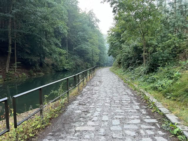
The longest part is path (43.7 km), track (39.6 km) and street (14 km). Of the surface, 47 km unpaved and 27.9 km gravel. For 4.5 km the surface is not known.
Pitstops along the way
Within 100 metres of the route there are 392 benches, 8 water fountains and refill points, 26 public toilets and 2 bike pumps. You can fill your bottle at the start, after 22 km, after 61.5 km, after 77.8 km, after 77.9 km and after 105.2 km. The longest stretch without a toilet is 15.1 km. The Outdoor Pitstop app navigates you there.
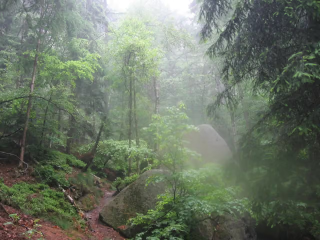
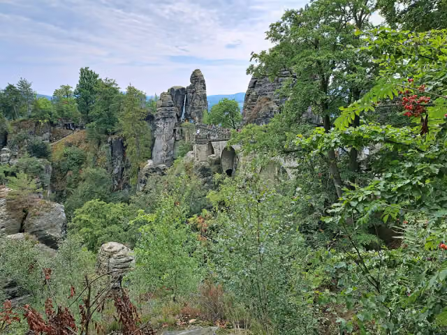
The Malerweg (Painters' Way) is a 117 km walking route through the Elbe Sandstone Mountains in Saxon Switzerland, named after painters such as Caspar David Friedrich and Ludwig Richter who drew the rocks here. It runs from Liebethal near Pirna on the right bank of the Elbe via Stadt Wehlen, Kurort Rathen and Hohnstein to the Großer Winterberg and Schmilka, then on the left bank via Schöna, Gohrisch and Königstein back to Pirna. On the way you pass the Kuhstall rock arch, the Lichtenhain waterfall and the Neurathen rock castle. Almost half is path and steps, often unpaved. We know of 26 toilets but only 8 drinking water points.
Source: Wikipedia (CC BY-SA)
Walks nearby
6- Rundweg Roter Punkt (Meißen - Schmilka)Hard · Circular walk236.5 km
- Sächsischer WeinwanderwegHard · From A to B92.5 km
- Fernwanderweg Görlitz – Greiz (Teil: Großer Picho – Glashütte)Hard · From A to B79.9 km
- DichterMusikerMaler-Weg (DE)Hard · From A to B75.6 km
- Lausitzer Schlange 1: Dresdner Heide – RathenHard · From A to B75.4 km
- Fernwanderweg Zittau – Wernigerode (Sachsen Ost)Hard · From A to B263.3 km
Sights nearby
Within 10 km of the route, best known first.
- 1
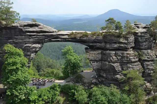 Pravčická bránaAttraction · 1.6 km from the route
- 2
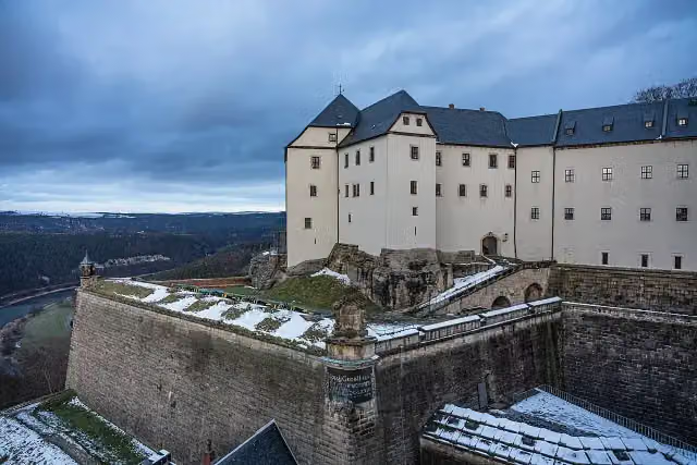 Königstein FortressAttraction · 183 m from the route
- 3
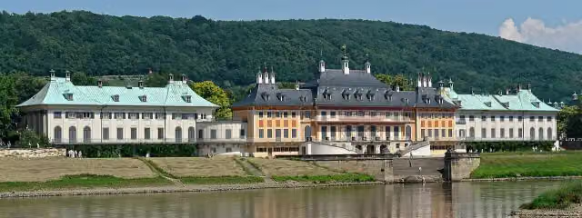 Schloss PillnitzAttraction · 6.3 km from the route
- 4
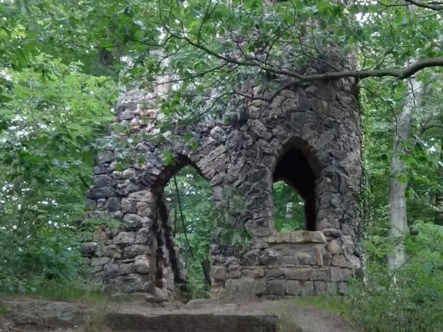 Ruins of Schomberg chateauRuins · 1.7 km from the route
- 5
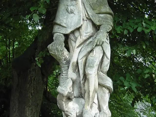 sv. RochMemorial · 6.6 km from the route
- 6
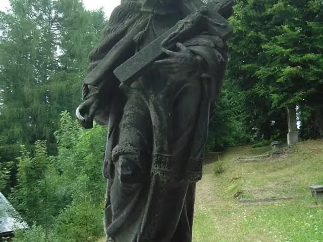 sv. Jan NepomuckýMemorial · 6.6 km from the route
- 7
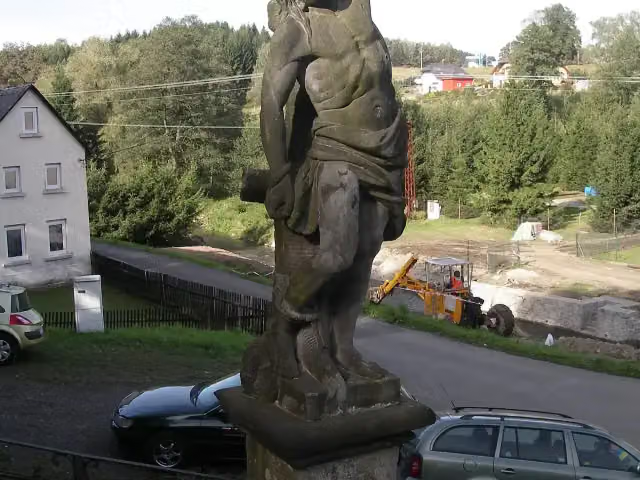 sv. ŠebestiánMemorial · 6.6 km from the route
- 8
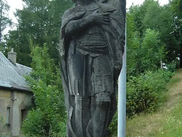 sv. VáclavMemorial · 6.6 km from the route
- 9
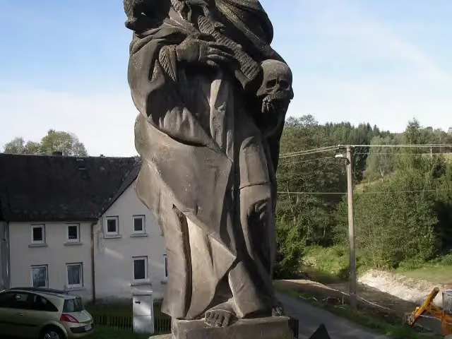 sv. RozálieMemorial · 6.6 km from the route
- 10
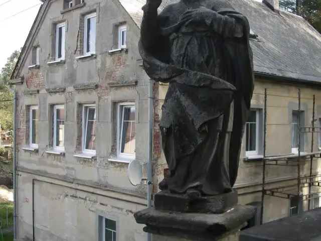 sv. VojtěchMemorial · 6.6 km from the route
- 11
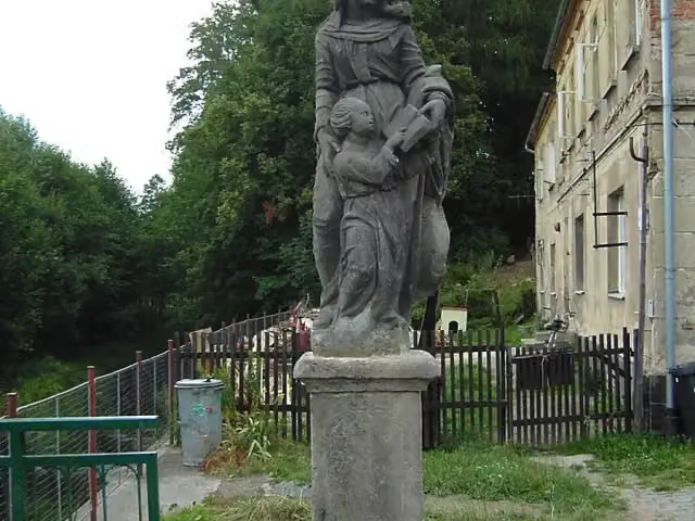 sv. AnnaMemorial · 6.7 km from the route
- 12
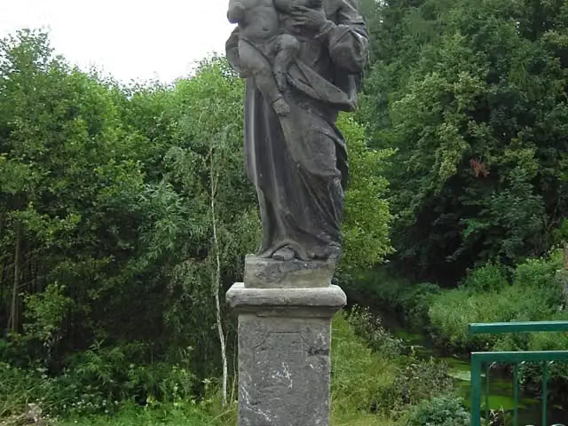 sv. JosefMemorial · 6.7 km from the route
- 13
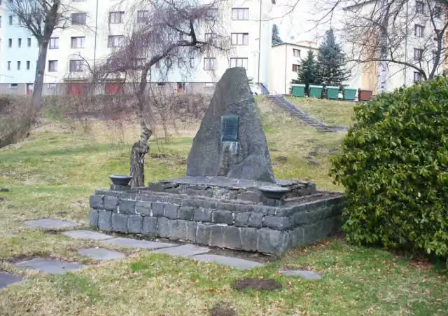 Obětem fašismuMemorial · 6.9 km from the route
- 14
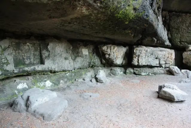 Balzerovo leženíAttraction · 8.7 km from the route
- 15
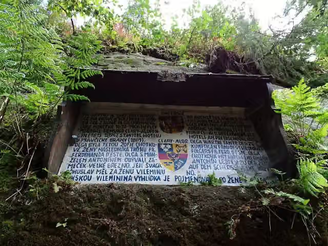 Olžin pád 1872Memorial · 1.5 km from the route
- 16
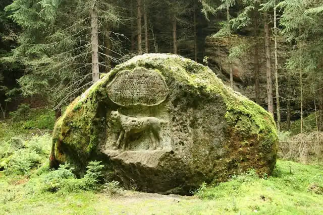 LuchssteinMemorial · 3.4 km from the route
- 17
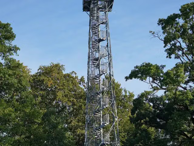 Rozhledna Janovský vrchObservation tower · 3.7 km from the route
- 18
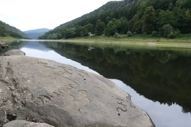 Hunger StoneAttraction · 3.8 km from the route
- 19
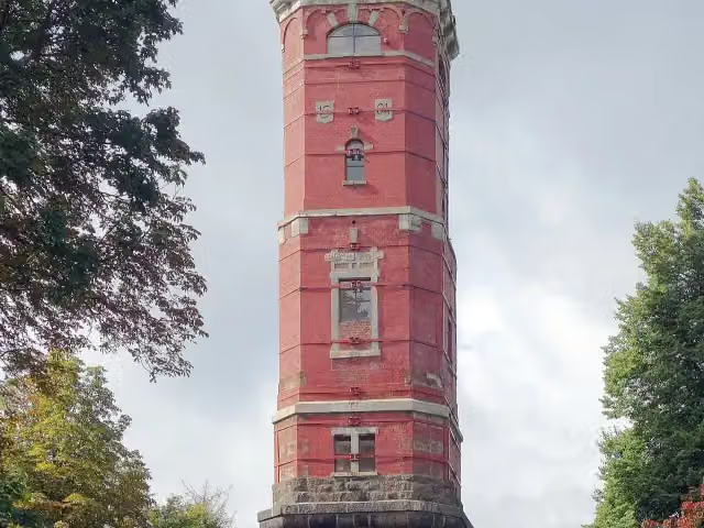 rozhledna Tanečníce;rozhledna TanečniceObservation tower · 4.1 km from the route
- 20
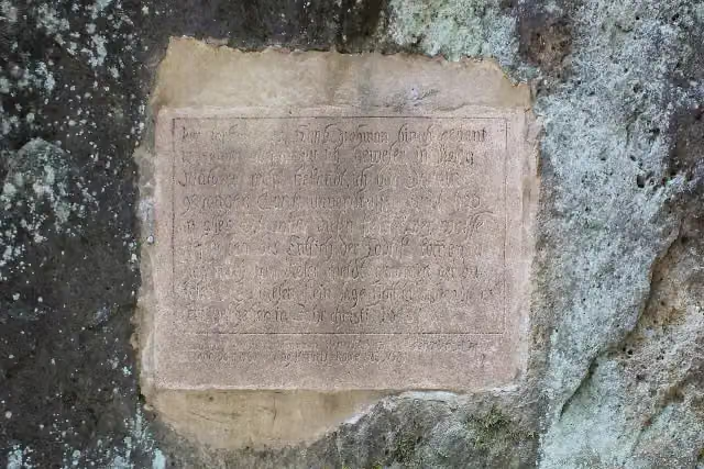 Vlčí deskaMemorial · 4.5 km from the route
- 21
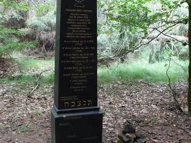 památník pochodu smrti 23.4.1945Memorial · 4.9 km from the route
- 22
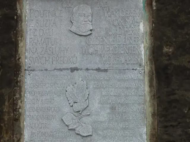 Pamětní deska Johann HilleMemorial · 5.5 km from the route
- 23
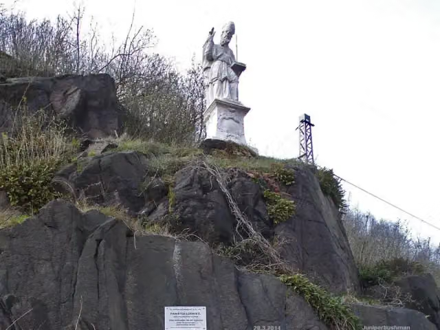 St. AdalbertMemorial · 5.8 km from the route
- 24
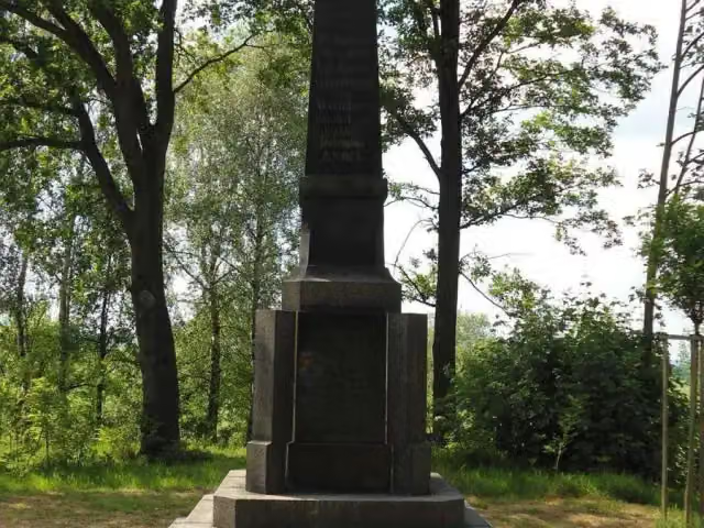 Pomník obětem 1. světové válkyMemorial · 6.5 km from the route
- 25
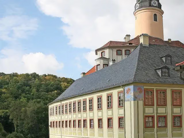 Schloss WeesensteinAttraction · 6.8 km from the route
Explore more
Frequently asked questions
How long is Malerweg?
Malerweg is 116.9 km long. Allow ± 31:00 h of walking: 4.5 km an hour and 10 minutes more per 100 metres of climbing, without breaks.
Is this route a circular walk?
No, the route starts and ends at different spots.
Where does this route start?
The route starts in Pirna.
How hard is this route?
Hard, with 3,020 m of climbing.
Are there toilets along this route?
Yes, there are 26 public toilets within 100 m of the route. The longest stretch without a toilet is 15.1 km.
Can you fill up with water along this route?
Yes, there are 8 water fountains and refill points within 100 m of the route.
What is there to see along this route?
Along the way you pass St. Mary's Church, Schloss Sonnenstein and Gedenkstätte Sonnenstein.
Can I download this route as a GPX file?
Yes. Sign in with your Outdoor Pitstop account and choose Download GPX at the top of this page: 10 routes a month for free, unlimited with Pro.
Starting point
More routes from this place
Route data © OpenStreetMap contributors





