 Outdoor Pitstop
Walking route · Zittau · Updated on 14 November 2026
Oberlausitzer Bergweg (Abschnitt: Zittau – Valtenberg) walk
Oberlausitzer Bergweg (Abschnitt: Zittau – Valtenberg) is a walk of 108.3 km from Zittau. Along the way you'll find 388 benches, 2 water fountains and refill points and 7 public toilets.
i
i
i
The route step by step
From start to finish, with what you pass along the way and the distance in between.
- 108.3 km
- ± 27:50 h
- ↑ 2,259 m · ↓ 1,939 m
- Hard
- From A to B
- Regional route
Start in Zittau
0 kmAt the start: public toilet.
495 m · 9 benches

Haberkorndenkmal and 1 more
495 mKonstitutionssäule and water point
203 m · 17 benches
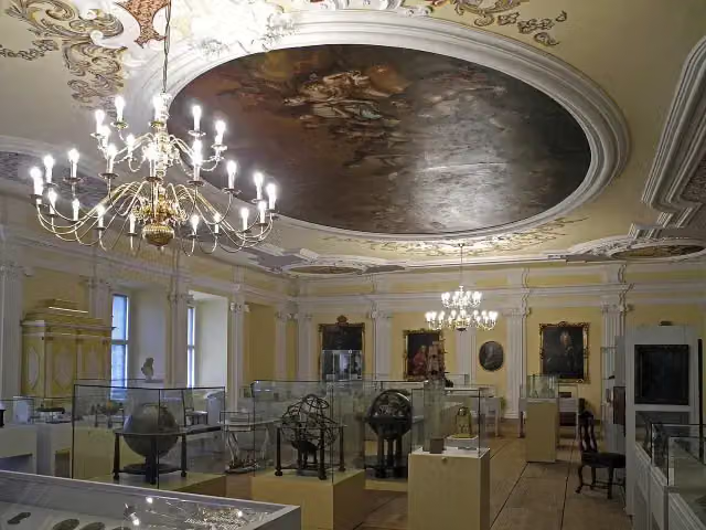
Kulturhistorisches Museum Franziskanerkloster
698 mMuseum
258 m · 38 benches
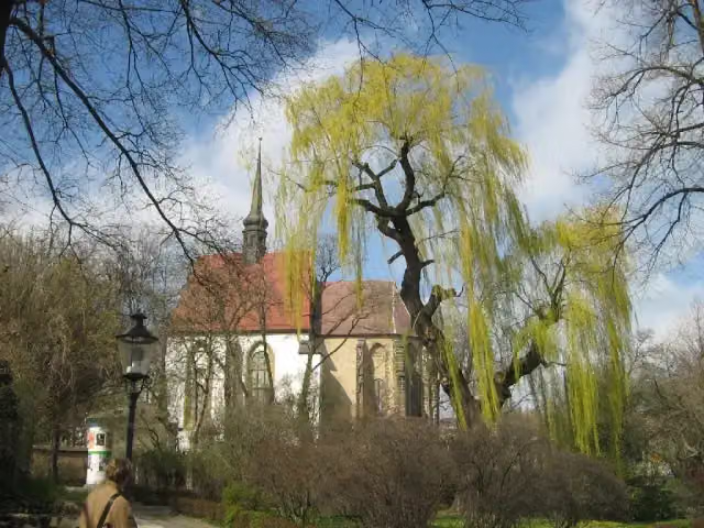
Großes Zittauer Fastentuch 1472 and 1 more
956 mKreuzkirche
209 m · 11 benches
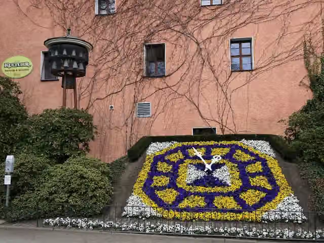
Blumenuhr
1.2 kmPublic toilet
11.3 km · 87 benches
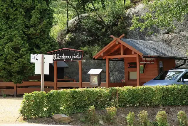
Oybiner Märchenspiele
12.5 kmPublic toilet
1.1 km · 14 benches
Mt. Sharpstone
13.6 kmViewpoint
1.7 km · 13 benches
Public toilet
15.3 km2.9 km · 6 benches
Highwood
18.2 kmViewpoint
5.7 km · 15 benches
Public toilet
23.9 km1 km · 16 benches
Nun's Rock
24.9 kmViewpoint
2 km · 10 benches
Památník obránců celnice
26.9 kmMemorial
873 m · 16 benches
Water point
27.8 km8.7 km · 14 benches
Public toilet
36.6 km990 m · 9 benches
Deutsches Damast- und Frottiermuseum
37.5 kmMuseum
17.9 km · 46 benches
Kottmarturm
55.4 kmViewpoint
13.5 km · 15 benches
Public toilet
68.9 km362 m · 2 benches
Reiterhaus
69.3 kmMuseum
7.8 km · 10 benches
Bielebohturm
77.1 kmObservation tower
11.1 km · 18 benches
Sternwarte "Bruno-H.-Bürgel"
88.1 kmAttraction
20.2 km · 12 benches
Finish
108.3 kmAt the finish: König-Johann-Turm.
Longest stretch without a toilet: 39.4 kmBetween 68.9 km and 108.3 km there is no public toilet within 100 m of the route.
The route with the pitstops and sights within 100 m of it.
17 sights along the way
In the order you pass them. With the Outdoor Pitstop app you hear their story on the spot. 9 more along the route are on the map.
i
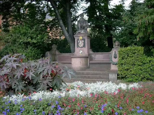
Photo: Jwaller · Wikimedia Commons · CC BY-SA 3.0View the photo on Wikimedia CommonsMemorial · after 495 m

Memorial · after 513 m
i
Photo: SchiDD · Wikimedia Commons · CC BY-SA 4.0View the photo on Wikimedia CommonsMuseum · after 698 m

Attraction · after 956 m
i
Photo: Botaurus stellaris · Wikimedia Commons · CC BY-SA 3.0View the photo on Wikimedia CommonsMuseum · after 956 m
i
Photo: Dr. Bernd Gross · Wikimedia Commons · CC BY-SA 3.0 deView the photo on Wikimedia CommonsAttraction · after 1.2 km
i
Photo: Frank Vincentz · Wikimedia Commons · CC BY-SA 3.0View the photo on Wikimedia CommonsMuseum · after 12.5 km
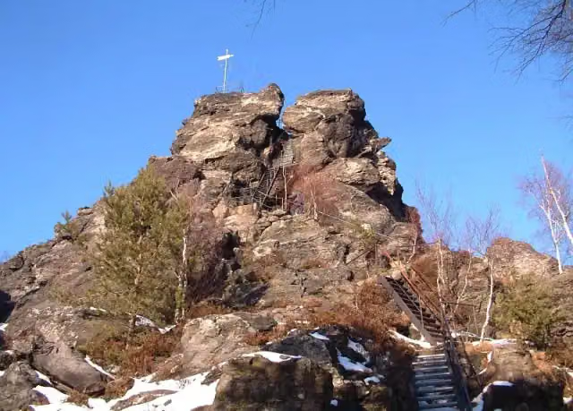
i
Photo: Trendy64, Lutz Maertens · Wikimedia Commons · CC BY-SA 3.0View the photo on Wikimedia CommonsViewpoint · after 13.6 km
Elevation and terrain
- Up
- ↑ 2,259 m
- Down
- ↓ 1,939 m
- Highest point
- 734 m
- Lowest point
- 235 m
- 5-10% slope · 26.1 km
- 10-15% slope · 5.4 km
- 15-20% slope · 1.1 km
- 11 stairs
Elevation from Copernicus GLO-30 (European Union and ESA), smoothed.
produced using Copernicus WorldDEM-30 © DLR e.V. 2010-2014 and © Airbus Defence and Space GmbH 2014-2018 provided under COPERNICUS by the European Union and ESA; all rights reserved
Way types
108.3 km in total- Track: 51.5 km
- Path: 33 km
- Street: 16.1 km
- Footpath: 3.7 km
- Cycleway: 2.4 km
- Stairs: 11 stairs
- Road: 375 m
- Busy road: 200 m
Surfaces
108.3 km in total- Unpaved: 25.7 km
- Gravel: 23.8 km
- Asphalt: 17 km
- Natural: 4 km
- Paved: 3.8 km
- Unknown: 33.6 km
About the walking route Oberlausitzer Bergweg (Abschnitt: Zittau – Valtenberg)
Updated on 14 November 2026, with data from OpenStreetMap, the AHN and Copernicus.
Where do you walk?
Oberlausitzer Bergweg (Abschnitt: Zittau – Valtenberg) is a walking route of 108.3 km that starts in Zittau. It does not end where it starts. You start in Zittau and finish in Valtenberg. Along the way you pass Haberkorndenkmal (after 495 m), Konstitutionssäule (after 513 m) and Kulturhistorisches Museum Franziskanerkloster (after 698 m).
How hard is the route?
You climb 2,259 m in total and descend 1,939 m. There are 11 flights of steps along the way. Allow ± 27:50 h, without breaks. The level is hard.
What paths do you walk on?
The longest part is track (51.5 km), path (33 km) and street (16.1 km). Of the surface, 25.7 km unpaved and 23.8 km gravel. For 33.6 km the surface is not known.
Pitstops along the way
Within 100 metres of the route there are 388 benches, 2 water fountains and refill points and 7 public toilets. You can fill your bottle after 495 m and after 27.8 km. The longest stretch without a toilet is 39.4 km. The Outdoor Pitstop app navigates you there.
Part of Oberlausitzer Bergweg
Website of the routeWalks nearby
6- Fernwanderweg Zittau – Wernigerode (Sachsen Ost)Hard · From A to B263.3 km
- Zittau - Seifhennersdorf (gelber Strich)Hard · From A to B27.9 km
- Lausitzer SchlangeHard · From A to B108.3 km
- Svatojakubská cesta, Žitavská trasa, Zittau - Hrádek n. NisouEasy · From A to B7.7 km
- Zittauer Jakobsweg Görlitz - ZittauHard · From A to B40 km
- Oberlausitzer Ringweg 2Hard · From A to B88.6 km
Sights nearby
Within 10 km of the route, best known first.
- 1
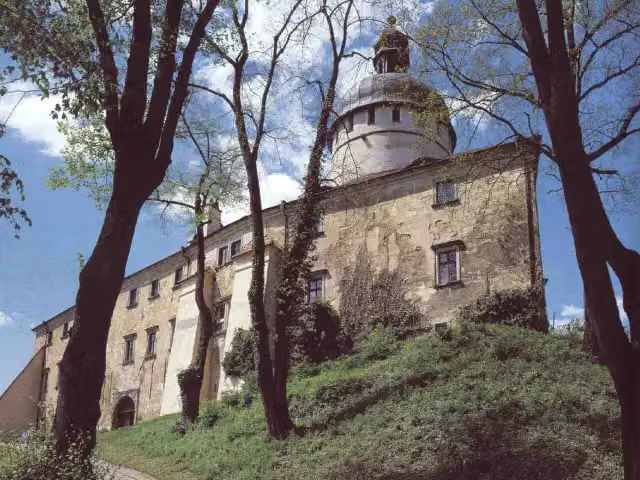 Hrad GrabštejnAttraction · 4.2 km from the route
- 2
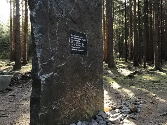 Nejsevernější bod České republikyAttraction · 355 m from the route
- 3
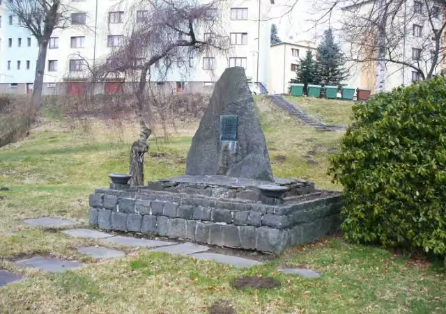 Obětem fašismuMemorial · 5.3 km from the route
- 4
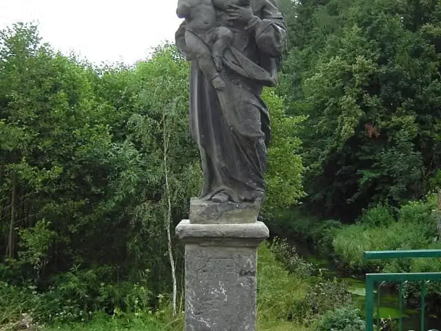 sv. JosefMemorial · 5.5 km from the route
- 5
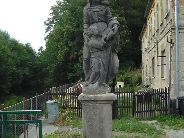 sv. AnnaMemorial · 5.5 km from the route
- 6
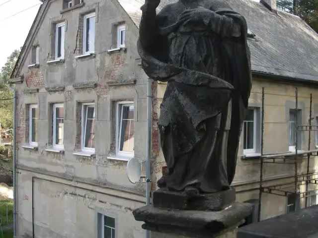 sv. VojtěchMemorial · 5.6 km from the route
- 7
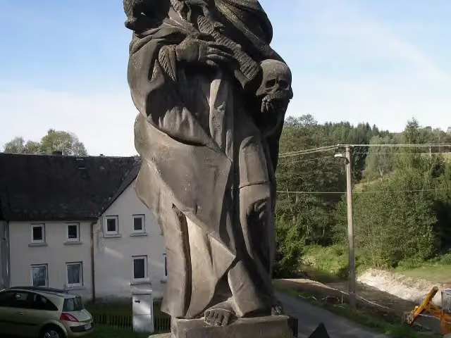 sv. RozálieMemorial · 5.6 km from the route
- 8
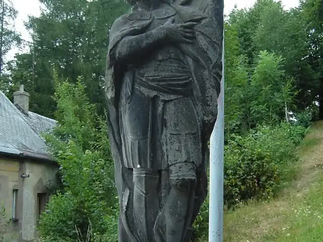 sv. VáclavMemorial · 5.6 km from the route
- 9
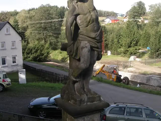 sv. ŠebestiánMemorial · 5.6 km from the route
- 10
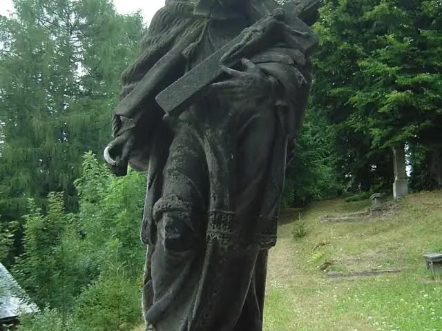 sv. Jan NepomuckýMemorial · 5.6 km from the route
- 11
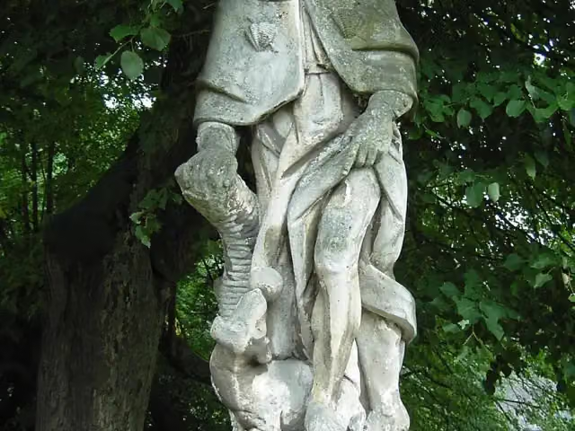 sv. RochMemorial · 5.6 km from the route
- 12
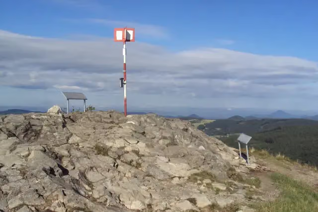 KlíčViewpoint · 8.4 km from the route
- 13
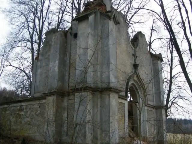 Panna Maria NeposkvrněnáRuins · 1.1 km from the route
- 14
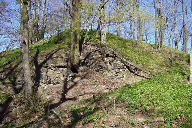 Old Hawk's CastleRuins · 2.3 km from the route
- 15
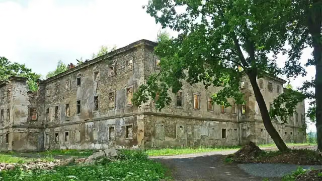 Lipova castleCastle · 2.4 km from the route
- 16
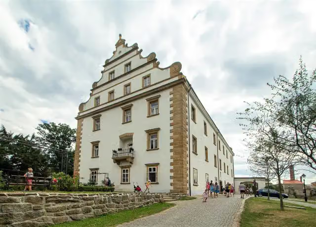 Zámek ŠluknovAttraction · 2.8 km from the route
- 17
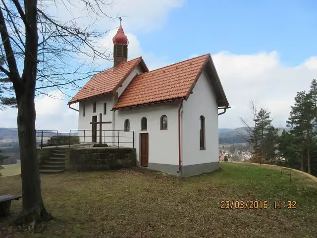 kaple KalvárieAttraction · 3.5 km from the route
- 18
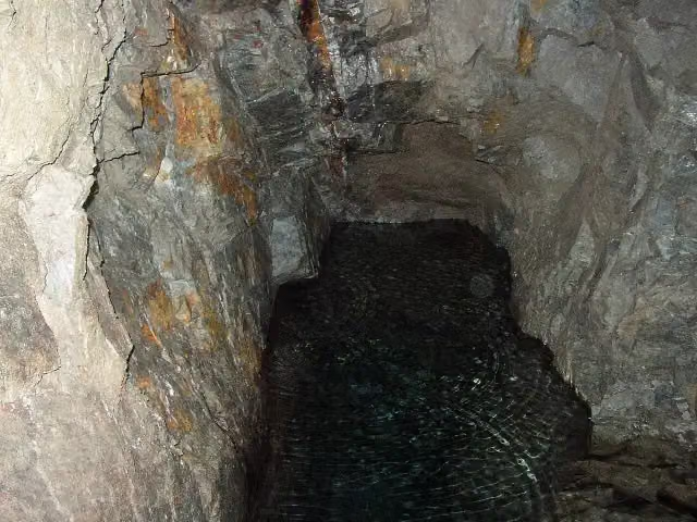 štola Jana EvangelistyMuseum · 4 km from the route
- 19
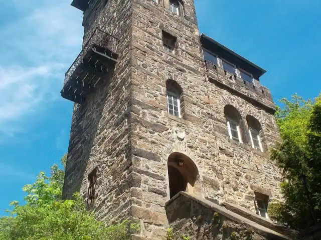 CzornebohturmObservation tower · 4.3 km from the route
- 20
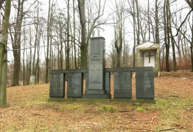 Pomník padlým v 1. světové válceMemorial · 4.6 km from the route
- 21
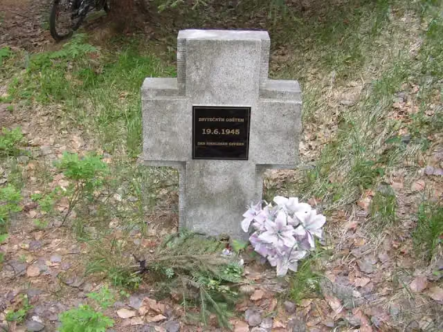 Zbytečným obětemMemorial · 5.1 km from the route
- 22
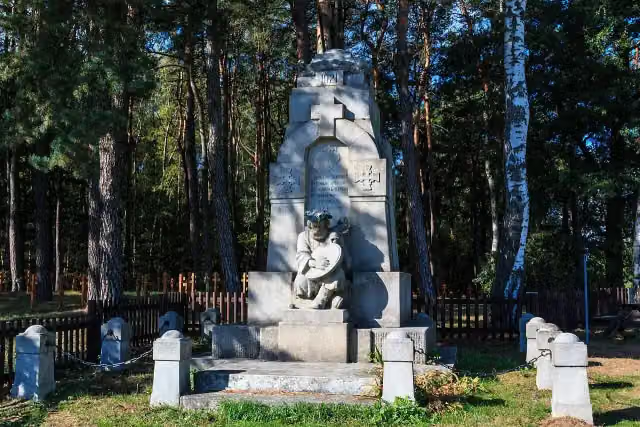 Pomník ukrajinských vojáků 1921Memorial · 5.3 km from the route
- 23
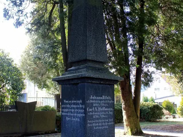 MemorialMemorial · 5.3 km from the route
- 24
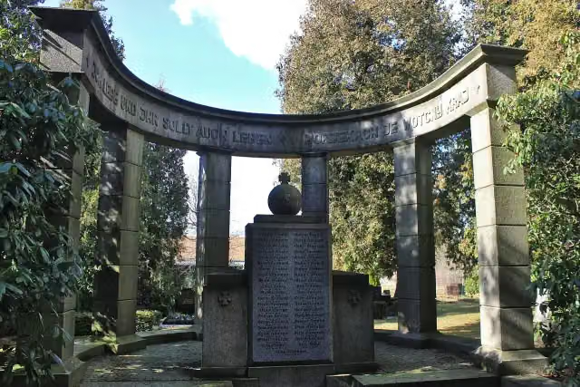 MemorialMemorial · 5.3 km from the route
- 25
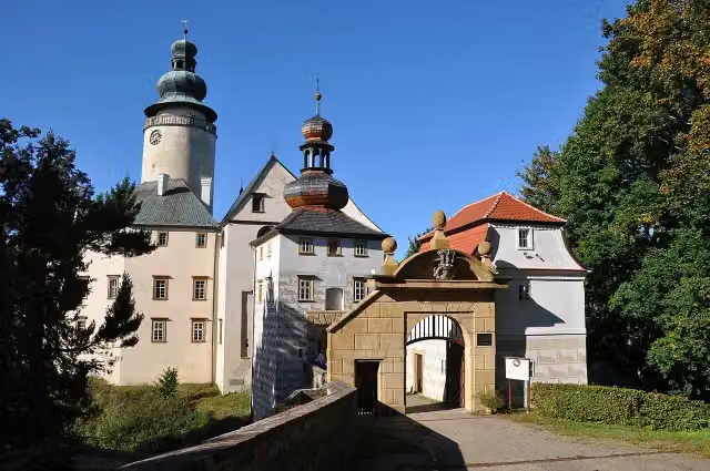 Lemberk CastleCastle · 6.4 km from the route
Explore more
Frequently asked questions
How long is Oberlausitzer Bergweg (Abschnitt: Zittau – Valtenberg)?
Oberlausitzer Bergweg (Abschnitt: Zittau – Valtenberg) is 108.3 km long. Allow ± 27:50 h of walking: 4.5 km an hour and 10 minutes more per 100 metres of climbing, without breaks.
Is this route a circular walk?
No, the route runs from Zittau to Valtenberg.
Where does this route start?
The route starts in Zittau.
How hard is this route?
Hard, with 2,259 m of climbing.
Are there toilets along this route?
Yes, there are 7 public toilets within 100 m of the route. The longest stretch without a toilet is 39.4 km.
Can you fill up with water along this route?
Yes, there are 2 water fountains and refill points within 100 m of the route.
What is there to see along this route?
Along the way you pass Haberkorndenkmal, Konstitutionssäule and Kulturhistorisches Museum Franziskanerkloster.
Can I download this route as a GPX file?
Yes. Sign in with your Outdoor Pitstop account and choose Download GPX at the top of this page: 10 routes a month for free, unlimited with Pro.
Starting point
More routes from this place
Route data © OpenStreetMap contributors





