Skip to content
Outdoor Pitstop logoOutdoor Pitstop

Walking route · Günzburg · Updated on 14 November 2026

Donauwald-Premiumwanderweg walk

Donauwald-Premiumwanderweg is a walk of 57 km from Günzburg. Along the way you'll find 78 benches, 1 water point, 5 public toilets and 1 bike pump.
Open in the app
Donauwald-Premiumwanderweg
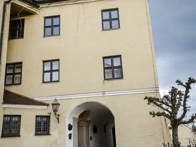
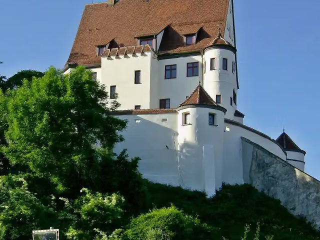
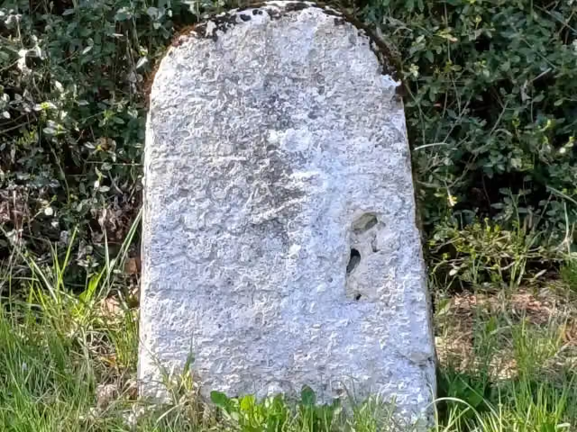
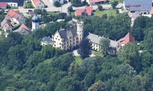
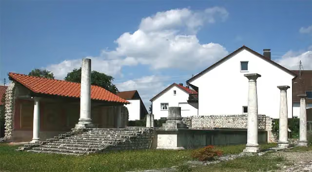
Apollo-Grannus-Tempel
i
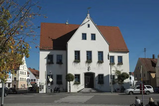
Photo: Dr. Eugen Lehle · Wikimedia Commons · CC BY-SA 3.0View the photo on Wikimedia Commons
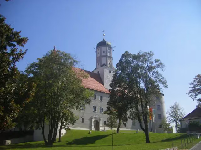
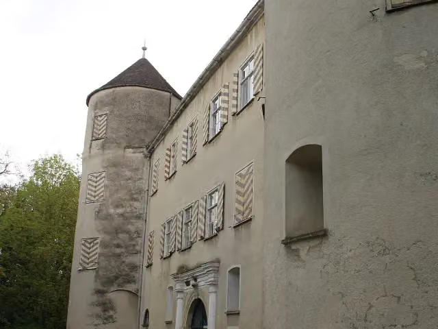
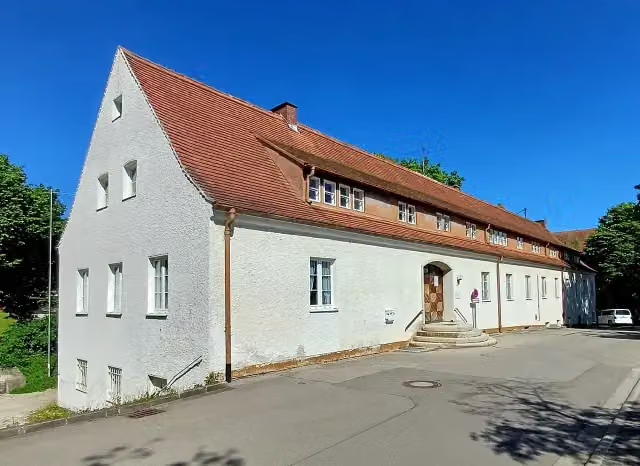
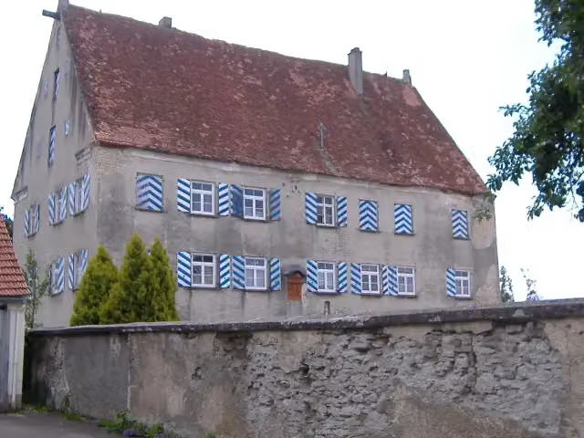
Donauwald-Premiumwanderweg, photo 2
i
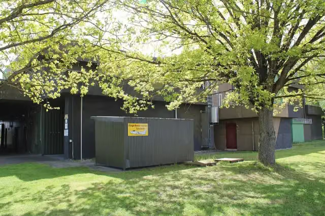
Photo: Katharina Müller · Wikimedia Commons · CC BY-SA 3.0View the photo on Wikimedia Commons
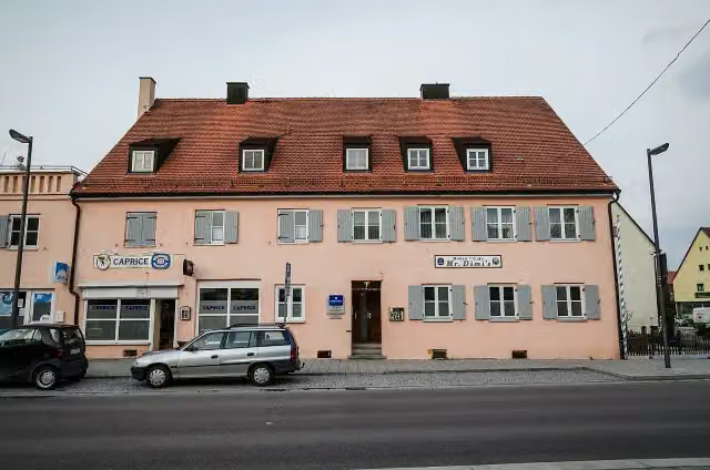
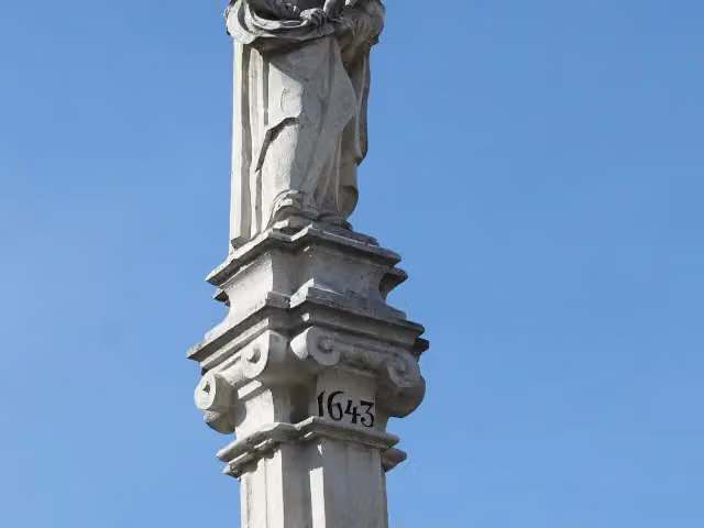
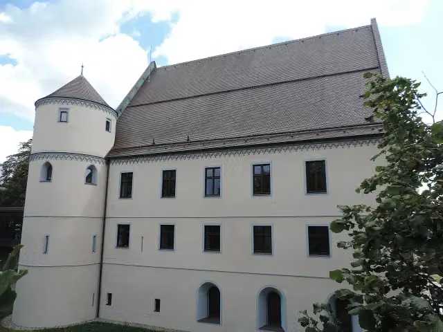
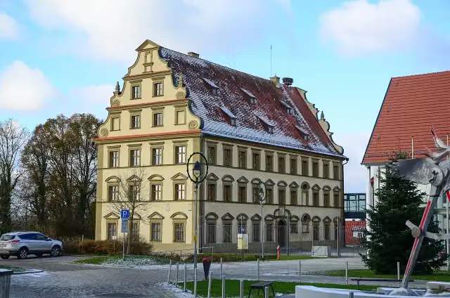
Donauwald-Premiumwanderweg, photo 3
i
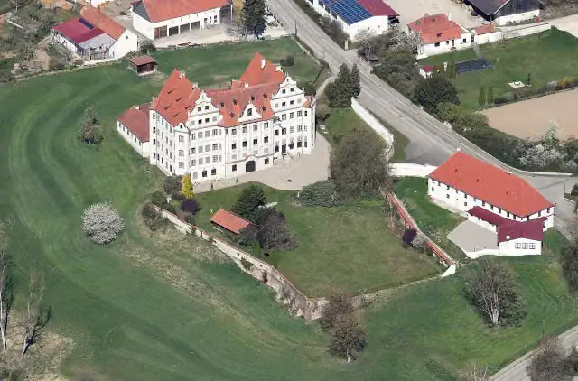
Photo: Chiara 64 · Wikimedia Commons · CC BY-SA 4.0View the photo on Wikimedia Commons

The route step by step

From start to finish, with what you pass along the way and the distance in between.

  • 57 km
  • ± 13:00 h
  • ↑ 196 m · ↓ 237 m
  • Hard
  • From A to B
  • Regional route

This route is in pieces in OpenStreetMap, so there are no kilometres per pitstop. Along the way you'll find 78 benches, 1 water point, 5 public toilets and 1 bike pump.

Follow these steps in the app

The route with the pitstops and sights within 100 m of it.

1 sight along the way

In the order you pass them. With the Outdoor Pitstop app you hear their story on the spot.

Elevation and terrain

Up
↑ 196 m
Down
↓ 237 m
Highest point
486 m
Lowest point
407 m
  • 5-10% slope · 860 m
  • 9 stairs

Elevation from Copernicus GLO-30 (European Union and ESA), smoothed.

produced using Copernicus WorldDEM-30 © DLR e.V. 2010-2014 and © Airbus Defence and Space GmbH 2014-2018 provided under COPERNICUS by the European Union and ESA; all rights reserved

Way types

57 km in total
  • Track: 31.8 km
  • Path: 16.5 km
  • Footpath: 6 km
  • Street: 1.4 km
  • Road: 861 m
  • Stairs: 9 stairs

Surfaces

57 km in total
  • Gravel: 20.4 km
  • Unpaved: 13 km
  • Natural: 5.8 km
  • Asphalt: 1.6 km
  • Paved: 1.1 km
  • Unknown: 15 km

About the walking route Donauwald-Premiumwanderweg

Updated on 14 November 2026, with data from OpenStreetMap, the AHN and Copernicus.

Where do you walk?

Donauwald-Premiumwanderweg is a walking route of 57 km that starts in Günzburg. It does not end where it starts.

How hard is the route?

You climb 196 m in total and descend 237 m. There are 9 flights of steps along the way. Allow ± 13:00 h, without breaks. The level is hard.

What paths do you walk on?

The longest part is track (31.8 km), path (16.5 km) and footpath (6 km). Of the surface, 20.4 km gravel and 13 km unpaved. For 15 km the surface is not known.

Pitstops along the way

Within 100 metres of the route there are 78 benches, 1 water point, 5 public toilets and 1 bike pump. The Outdoor Pitstop app navigates you there.

Website of the route

Sights nearby

Within 10 km of the route, best known first.

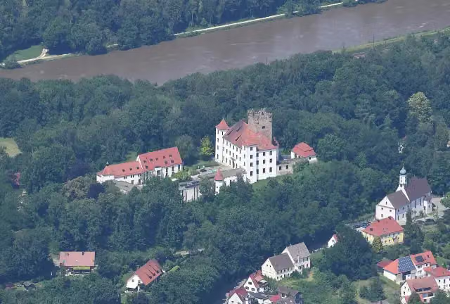
  1. 1Schloss ReisensburgSchloss ReisensburgCastle · 508 m from the route
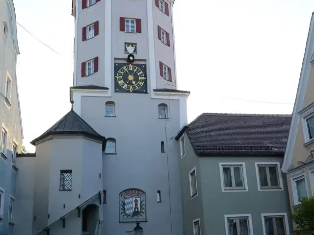
  2. 2Unteres TorUnteres TorObservation tower · 646 m from the route
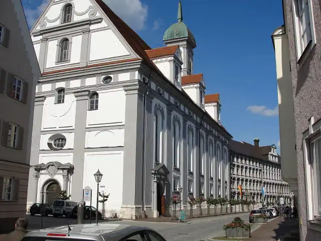
  3. 3Studienkirche Mariä HimmelfahrtStudienkirche Mariä HimmelfahrtAttraction · 701 m from the route
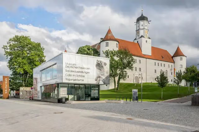
  4. 4Museum Deutscher FayencenMuseum Deutscher FayencenMuseum · 719 m from the route
  5. 5Stadt- und HochstiftmuseumStadt- und HochstiftmuseumMuseum · 723 m from the route
  6. 6Schloss HöchstädtSchloss HöchstädtCastle · 732 m from the route
  7. 7DillingenDillingenViewpoint · 742 m from the route
  8. 8Dillinger SchloßDillinger SchloßCastle · 759 m from the route
  9. 9HeimatmuseumHeimatmuseumMuseum · 1.2 km from the route
  10. 10Fliegerhorstmuseum LeipheimFliegerhorstmuseum LeipheimMuseum · 3.1 km from the route
  11. 11Schloss HarthausenSchloss HarthausenCastle · 3.9 km from the route
  12. 12Heimat- und Bauernkriegsmuseum Blaue EnteHeimat- und Bauernkriegsmuseum Blaue EnteMuseum · 4.6 km from the route
  13. 13Schloss LeipheimSchloss LeipheimCastle · 4.6 km from the route
  14. 14Schloss BächingenSchloss BächingenCastle · 5 km from the route
  15. 15MariensäuleMariensäuleMemorial · 5.3 km from the route
  16. 16Schloss KleinkötzSchloss KleinkötzCastle · 5.5 km from the route
  17. 17PeststeinPeststeinMemorial · 5.9 km from the route
  18. 18Radio- und TelefonmuseumRadio- und TelefonmuseumMuseum · 7.1 km from the route
  19. 19Schloss WertingenSchloss WertingenCastle · 7.3 km from the route
  20. 20Schloss GlöttSchloss GlöttCastle · 7.3 km from the route
  21. 21Schloss HaldenwangSchloss HaldenwangCastle · 8.8 km from the route
  22. 22Schloss OberbechingenSchloss OberbechingenCastle · 9.1 km from the route
  23. 23Unteres SchlossUnteres SchlossCastle · 9.9 km from the route
  24. 24Bayerisches SchulmuseumBayerisches SchulmuseumMuseum · 9.9 km from the route
  25. 25Schloss KalteneckCastle · 419 m from the route

Explore more

Frequently asked questions

How long is Donauwald-Premiumwanderweg?

Donauwald-Premiumwanderweg is 57 km long. Allow ± 13:00 h of walking: 4.5 km an hour and 10 minutes more per 100 metres of climbing, without breaks.

Is this route a circular walk?

No, the route starts and ends at different spots.

Where does this route start?

The route starts in Günzburg.

How hard is this route?

Hard, with 196 m of climbing.

Are there toilets along this route?

Yes, there are 5 public toilets within 100 m of the route.

Can you fill up with water along this route?

Yes, there are 1 water point within 100 m of the route.

What is there to see along this route?

Along the way you pass Apollo-Grannus-Tempel.

Can I download this route as a GPX file?

Yes. Sign in with your Outdoor Pitstop account and choose Download GPX at the top of this page: 10 routes a month for free, unlimited with Pro.

Starting point

More routes from this place

Günzburg

Route data © OpenStreetMap contributors

The free app

All of Outdoor Pitstop, in your pocket

Find the nearest pitstop, navigate there, listen to audio tours, earn XP and make routes and lists together.

Download on the App StoreGet it on Google Play
How Outdoor Pitstop works →
The map of the app with pitstops nearby
A pitstop in the app, with a photo, a review and Navigate
Your profile in the app, with level and XP