 Outdoor Pitstop
Mountain bike trail · Valkenswaard · Updated on 6 November 2026
MTB-route Venbergse Molen - official shortcut
MTB-route Venbergse Molen - official shortcut is a mountain bike trail of 2.8 km from Valkenswaard.
The route step by step
From start to finish, with what you pass along the way and the distance in between.
- 2.8 km
- ± 15 min
- ↑ 0 m · ↓ 0 m
- Easy
- From A to B
- Local route
- Colour of the signs
Start in Valkenswaard
0 km2.8 km
Finish
2.8 km
No public toilet along the wayThere is no public toilet within 100 m of the route. Go before you start, or find one a bit further away in the app.
The route with the pitstops and sights within 100 m of it.
Elevation and terrain
- Up
- ↑ 0 m
- Down
- ↓ 0 m
- Highest point
- 28 m
- Lowest point
- 26 m
Nowhere steeper than 5%.
Elevation from AHN (Rijkswaterstaat), smoothed.
Way types
2.8 km in total- Road: 1.5 km
- Track: 875 m
- Street: 430 m
Surfaces
2.8 km in total- Asphalt: 1.5 km
- Natural: 875 m
- Gravel: 430 m
About the mountain bike trail MTB-route Venbergse Molen - official shortcut
Updated on 6 November 2026, with data from OpenStreetMap and the AHN.
Where do you ride?
MTB-route Venbergse Molen - official shortcut is a mountain bike trail of 2.8 km that starts in Valkenswaard. It does not end where it starts.
How hard is the route?
The route is almost flat. You climb 0 m in total and descend 0 m. Allow ± 15 min, without breaks. The level is easy.
What trails do you ride on?
The longest part is road (1.5 km), track (875 m) and street (430 m). Of the surface, 1.5 km asphalt and 875 m natural.
Pitstops along the way
There are no pitstops within 100 metres of the route yet. There is no public toilet within 100 metres of the route.
This official shortcut on the Venbergse Molen MTB trail is almost 3 km long. Half runs on asphalt road, a third on an unpaved farm track and the rest along a gravel street. You follow the black and white waymarks.
Mountain bike trails nearby
6- MTB-route Venbergse Molen (Valkenswaard)Moderate · Loop35.8 km
- MTB-verbindingsroute Venbergse molen en CranendonkEasy · From A to B1.6 km
- Verbindingstraject Valkenswaard Groen - Hamont-Achel GroenEasy · From A to B2.2 km
- MTB-route Groote HeideEasy · Loop20.1 km
- MTB-route AalsterhutEasy · Loop9.2 km
- MTB-verbindingsroute Groote Heide - MierloEasy · From A to B7.1 km
Sights nearby
Within 10 km of the route, best known first.
- 1
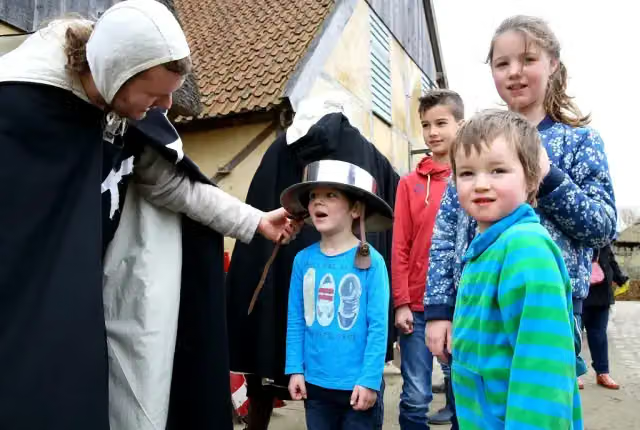 PreHistorisch DorpMuseum · 9.8 km from the route
- 2
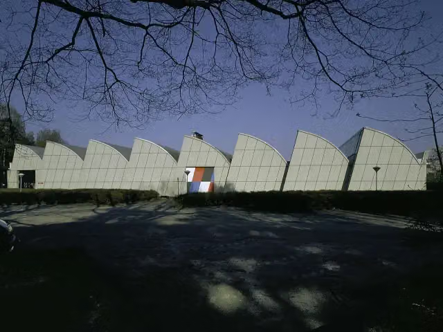 Weverij De PloegMuseum · 6.9 km from the route
- 3
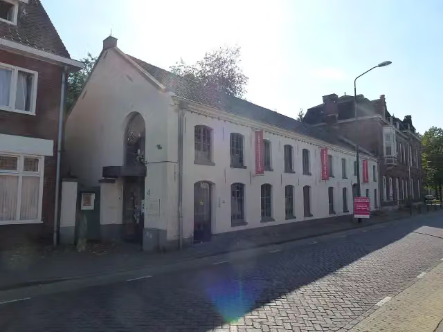 Het Waalres MuseumMuseum · 5.8 km from the route
- 4
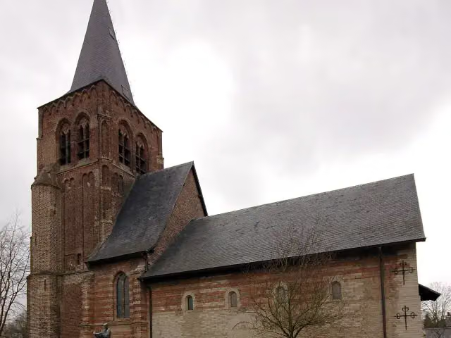 Herdenkingskapel voor Brabants GevallenenMemorial · 5.9 km from the route
- 5
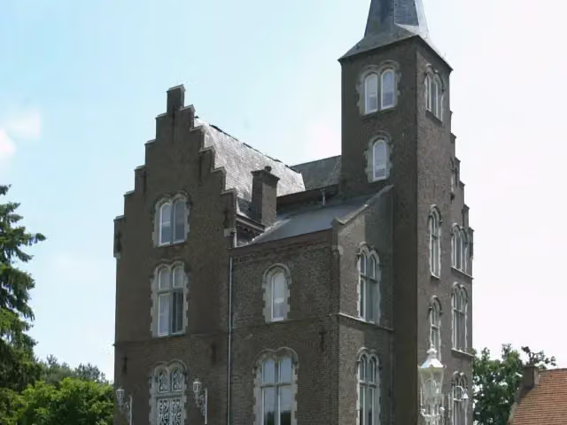 Kasteel BeverbeekCastle · 4.8 km from the route
- 6
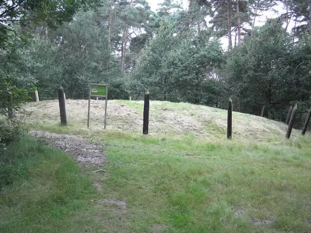 Grafheuvels HaarterheideArchaeological site · 6.2 km from the route
- 7
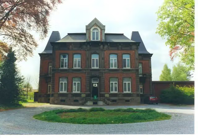 GrevenbroekmuseumMuseum · 6.4 km from the route
- 8
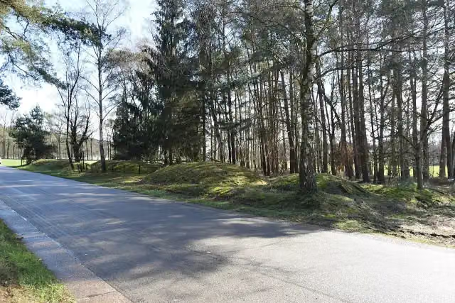 Grafheuvels PastoorsbosArchaeological site · 6.6 km from the route
- 9
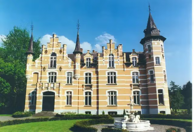 Kasteel GenenbroekCastle · 6.7 km from the route
- 10
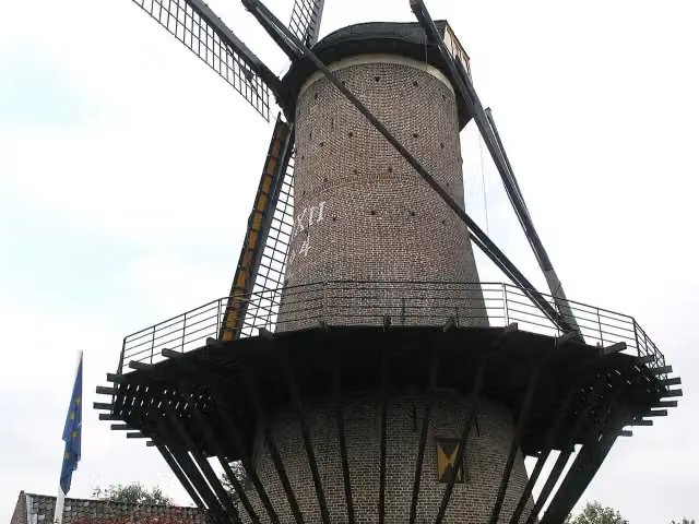 NapoleonsmolenMonument · 8.1 km from the route
- 11
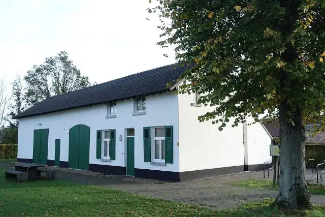 Museum De KolonieMuseum · 9.7 km from the route
- 12
 Beekdal van de Tongelreep - UitkijkpostObservation tower · 1.2 km from the route
- 13EgelvenObservation tower · 3.1 km from the route
- 14SterrenwachtObservation tower · 3.7 km from the route
- 15EinderheideObservation tower · 5.5 km from the route
- 16Pastoorsweijer - VogelkijkhutObservation tower · 6.5 km from the route
- 17Klimrijk BrabantAttraction · 7.9 km from the route
- 18Grafheuvel GendersteynArchaeological site · 9 km from the route
- 19Heemkundig archeologisch museumMuseum · 9.6 km from the route
Explore more
More mountain bike trails around Valkenswaard
Frequently asked questions
How long is MTB-route Venbergse Molen - official shortcut?
MTB-route Venbergse Molen - official shortcut is 2.8 km long. Allow ± 15 min of riding: 12 km an hour, without breaks.
Is this route a loop?
No, the route starts and ends at different spots.
Where does this route start?
The route starts in Valkenswaard.
How hard is this route?
Easy.
Are there toilets along this route?
No, there is no public toilet within 100 m of the route. Go before you start.
Can you fill up with water along this route?
No, there is no water point within 100 m of the route. Bring enough water.
Starting point
More routes from this place
Route data © OpenStreetMap contributors





