 Outdoor Pitstop
Cycle route · Kufstein · Updated on 14 November 2026
Innradweg cycle route
Innradweg is a cycle route of 328.9 km from Kufstein. Along the way you'll find 554 benches, 6 water fountains and refill points, 14 public toilets and 7 bike pumps.
i
i
i
The route step by step
From start to finish, with what you pass along the way and the distance in between.
- 328.9 km
- ± 7:20 h per stage
- ↑ 971 m · ↓ 1,197 m
- Hard per stage
- From A to B
- International route
Start in Kufstein
0 km3.2 km · 4 benches

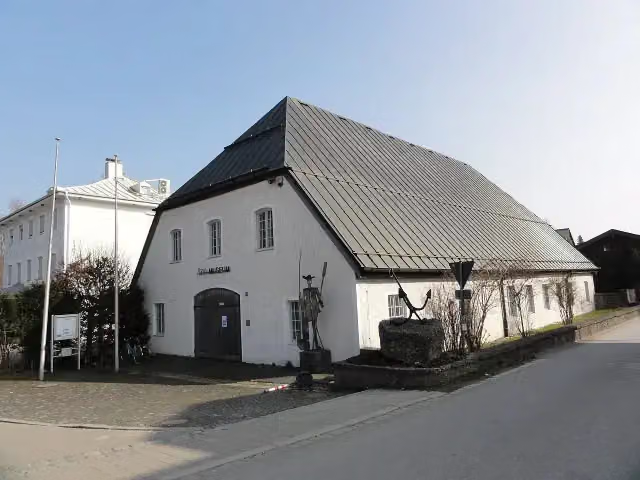
Industriemuseum Blaahaus
3.2 kmPublic toilet
35 km · 22 benches
Inn-Museum
38.2 kmMuseum
764 m · 24 benches
Water point and bike pump
39 km1.6 km · 9 benches
Bike pump
40.6 km27 km · 36 benches
Public toilet
67.6 km1.5 km · 3 benches
Public toilet
69.1 km6 km · 16 benches
Water point
75 km5.6 km · 4 benches
Burgstall Königswart
80.6 kmRuins
10.1 km · 21 benches
Bike pump
90.7 km6.2 km · 15 benches
Bike pump
96.9 km13.4 km · 26 benches
Bike pump
110.3 km39.1 km · 35 benches
Water point
149.4 km31 km · 26 benches
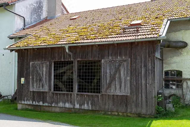
Hammerschmiede Maximilian
180.4 kmMuseum
1 km
Public toilet
181.4 km232 m · 5 benches
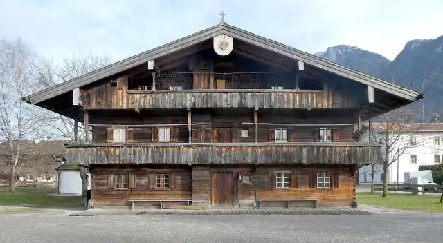
Heimatmuseum Kraiburg am Inn
181.6 kmMuseum
18.2 km · 40 benches
Water point
199.9 km157 m · 5 benches
Kreismuseum Mühldorf
200 kmMuseum
509 m · 7 benches
Public toilet
200.5 km557 m · 2 benches
Public toilet
201.1 km27.8 km · 26 benches
Public toilet and bike pump
228.9 km30 km · 27 benches
Vogelbeobachtungsturm Eglsee
258.9 kmObservation tower
38.6 km · 59 benches
Schloß Neuhaus
297.6 kmCastle
3.4 km · 8 benches
Public toilet
300.9 km10.7 km · 32 benches
Public toilet
311.6 km211 m · 7 benches
Public toilet
311.8 km266 m · 6 benches
Observation tower
312 kmPublic toilet
813 m · 50 benches
Mahnmal für die Opfer des Nationalsozialismus and 1 more
312.9 kmRudhartsäule, 2 public toilets and water point
248 m · 18 benches
Alte Residenz and 2 more
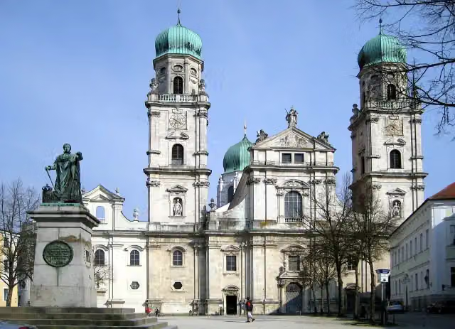
313.1 kmSt. Stephen's Cathedral and Neue Residenz
469 m · 13 benches
Public toilet, water point and bike pump
313.6 km
Show the other 1 steps
15.3 km · 8 benches
Finish
328.9 km
Longest stretch without a toilet: 112.3 kmBetween 69.1 km and 181.4 km there is no public toilet within 100 m of the route.
The route with the water points, toilets and sights within 100 m of it.
14 sights along the way
In the order you pass them. With the Outdoor Pitstop app you hear their story on the spot. 6 more along the route are on the map.
i
Photo: Renardo la vulpo · Wikimedia Commons · CC BY-SA 4.0View the photo on Wikimedia CommonsMuseum · after 3.2 km
i
Photo: User:Mattes · Wikimedia Commons · CC BY-SA 2.0View the photo on Wikimedia CommonsMuseum · after 38.2 km

Ruins · after 80.6 km
i
Photo: Stefan Karl · Wikimedia Commons · CC BY-SA 4.0View the photo on Wikimedia CommonsMuseum · after 180.4 km
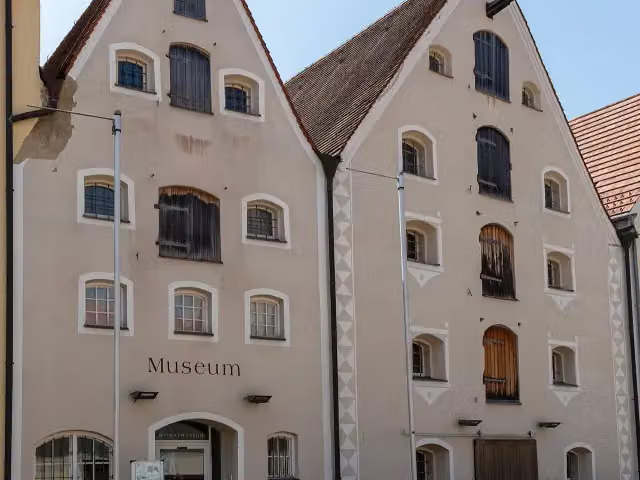
i
Photo: Stefan Karl · Wikimedia Commons · CC BY-SA 4.0View the photo on Wikimedia CommonsMuseum · after 181.6 km
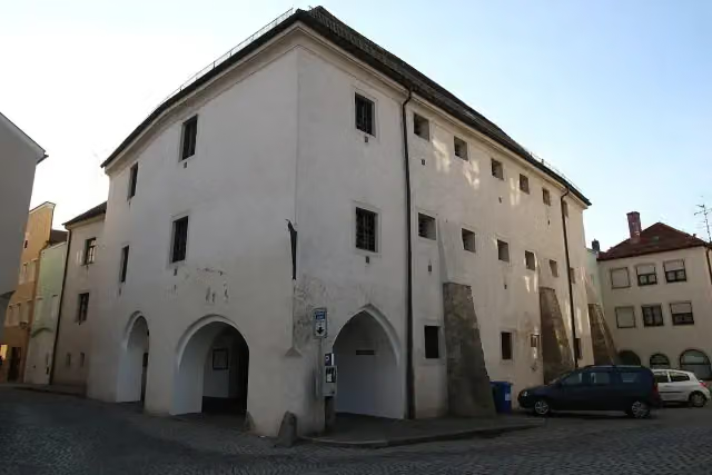
i
Photo: Pocoloco0815 · Wikimedia Commons · CC BY-SA 4.0View the photo on Wikimedia CommonsMuseum · after 200 km
Observation tower · after 258.9 km
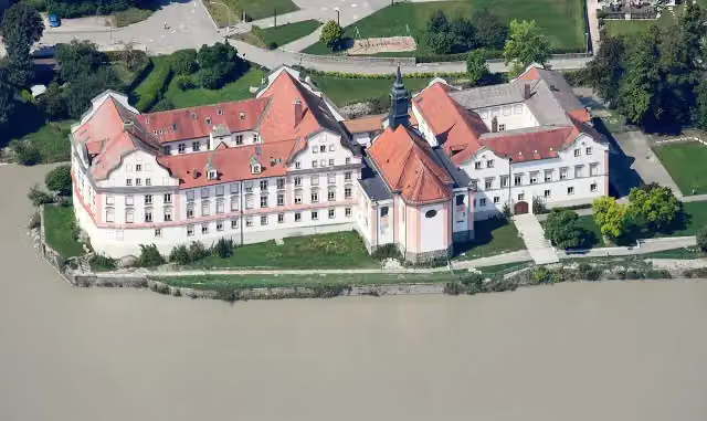
i
Photo: Carsten Steger · Wikimedia Commons · CC BY-SA 4.0View the photo on Wikimedia CommonsCastle · after 297.6 km
Stages (3)
Elevation and terrain
- Up
- ↑ 971 m
- Down
- ↓ 1,197 m
- Highest point
- 542 m
- Lowest point
- 299 m
- 5-10% slope · 7 km
Elevation from Copernicus GLO-30 (European Union and ESA), smoothed.
produced using Copernicus WorldDEM-30 © DLR e.V. 2010-2014 and © Airbus Defence and Space GmbH 2014-2018 provided under COPERNICUS by the European Union and ESA; all rights reserved
Way types
328.9 km in total- Track: 156.9 km
- Road: 91.5 km
- Street: 23.9 km
- Path: 21.5 km
- Cycle path: 11.7 km
- Footpath (walk your bike): 4.2 km
- Busy road: 3.3 km
Surfaces
328.9 km in total- Gravel: 148.9 km
- Asphalt: 147.4 km
- Paved: 4.7 km
- Unpaved: 3.3 km
- Natural: 125 m
- Unknown: 8.4 km
About the cycle route Innradweg
Updated on 14 November 2026, with data from OpenStreetMap, the AHN and Copernicus.
Where do you cycle?
Innradweg is a cycle route of 328.9 km that starts in Kufstein. It does not end where it starts. Along the way you pass Industriemuseum Blaahaus (after 3.2 km), Inn-Museum (after 38.2 km) and Burgstall Königswart (after 80.6 km).
How hard is the route?
You climb 971 m in total and descend 1,197 m. Allow ± 7:20 h per stage, without breaks. Per stage the level is hard.
What roads do you cycle on?
The longest part is track (156.9 km), road (91.5 km) and street (23.9 km). Of the surface, 148.9 km gravel and 147.4 km asphalt. For 8.4 km the surface is not known.
Pitstops along the way
Within 100 metres of the route there are 554 benches, 6 water fountains and refill points, 14 public toilets and 7 bike pumps. You can fill your bottle after 39 km, after 75 km, after 149.4 km, after 199.9 km, after 313 km and after 313.6 km. The longest stretch without a toilet is 112.3 km. The Outdoor Pitstop app navigates you there.
The Innradweg (Inn Cycle Path) is a long-distance cycle route along the Inn from Maloja in Switzerland to Passau, about 520 km in all; the section from the border at Kufstein covers 329 km including the riverbank variants Innradweg West and Ost. You ride via Rosenheim, Wasserburg am Inn, Gars am Inn and Mühldorf am Inn to Passau and its St Stephen's Cathedral. There is a bird sanctuary at the Inn reservoir near Attel. About half the route is gravel, the rest mostly asphalt. We only know of a few toilets and drinking water points on the way.
Source: Wikipedia (CC BY-SA)
Cycle routes nearby
1Sights nearby
Within 10 km of the route, best known first.
- 1
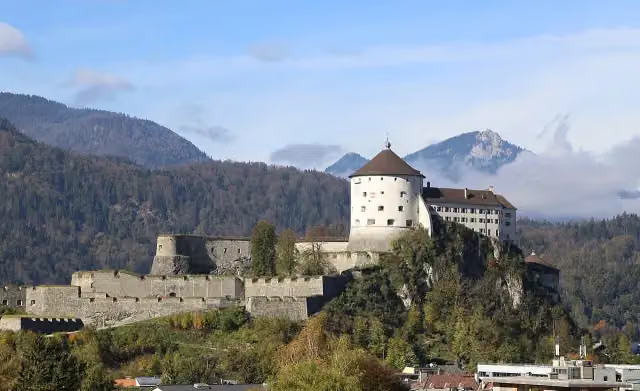 Festung KufsteinAttraction · 1.2 km from the route
- 2
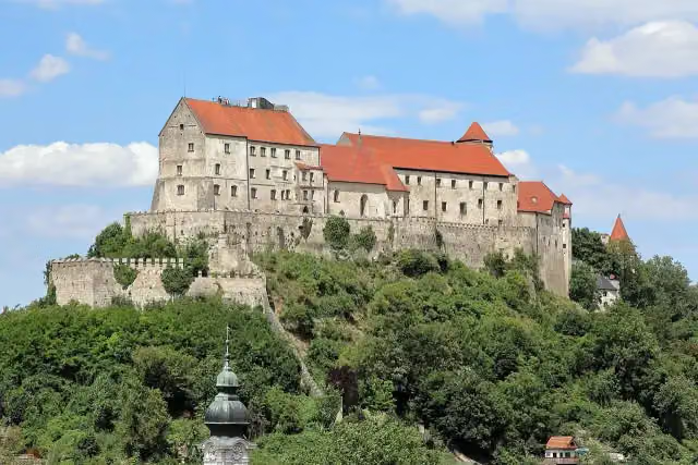 Burg zu BurghausenAttraction · 9.5 km from the route
- 3
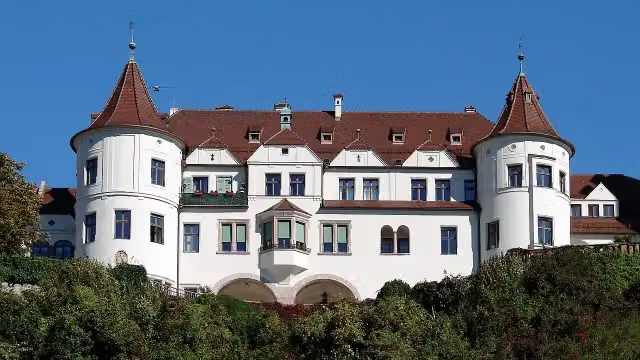 Schloss NeubeuernCastle · 494 m from the route
- 4
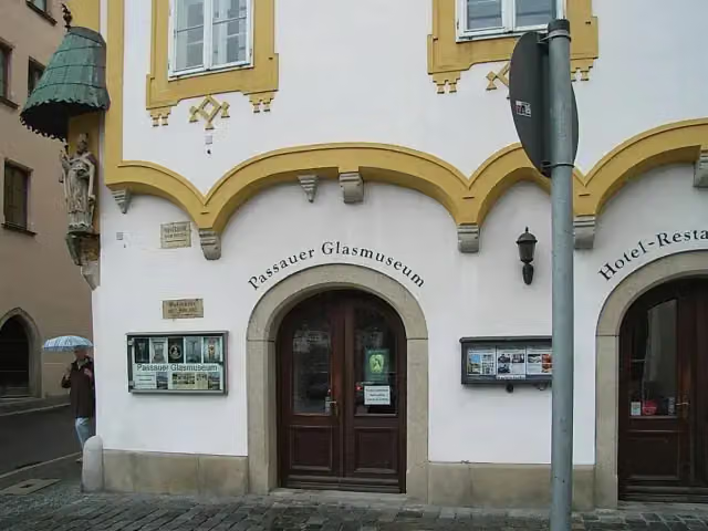 Passau Glass MuseumMuseum · 98 m from the route
- 5
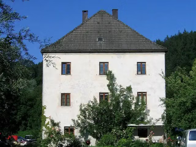 Altes Schloss UrfahrnCastle · 121 m from the route
- 6
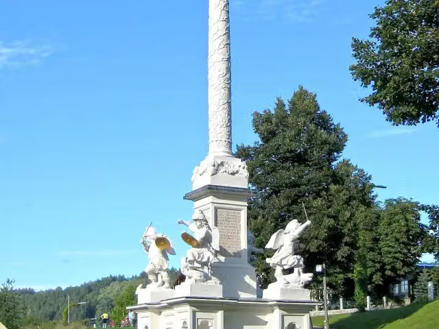 MariensäuleAttraction · 132 m from the route
- 7
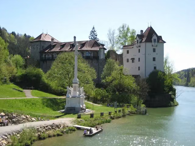 Burg WernsteinCastle · 157 m from the route
- 8
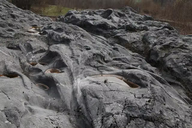 Gletscherschliff bei FischbachAttraction · 161 m from the route
- 9
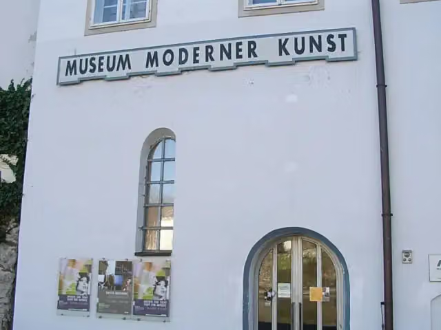 Museum Moderner KunstMuseum · 173 m from the route
- 10
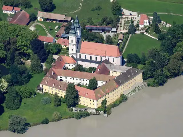 Schloss VornbachCastle · 183 m from the route
- 11
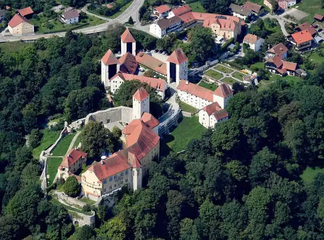 Schloss NeuburgCastle · 184 m from the route
- 12
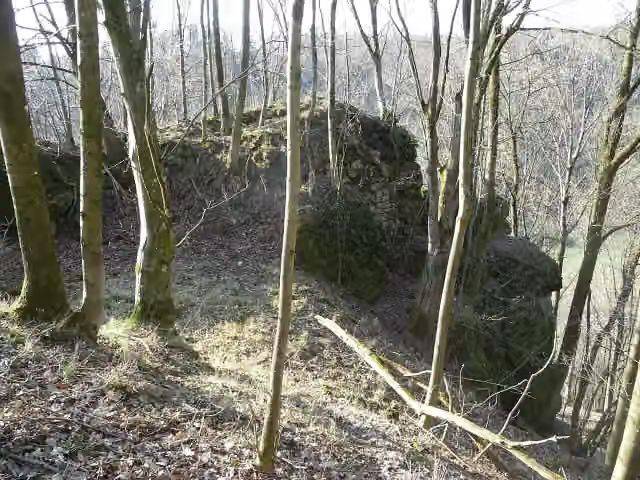 Ruine WimbergCastle · 187 m from the route
- 13
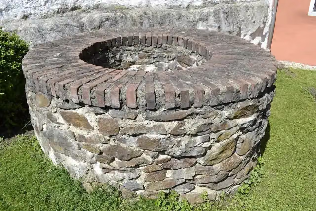 RömerMuseum Kastell Boiotro - PassauMuseum · 207 m from the route
- 14
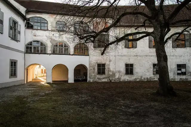 Schloss JettenbachCastle · 218 m from the route
- 15
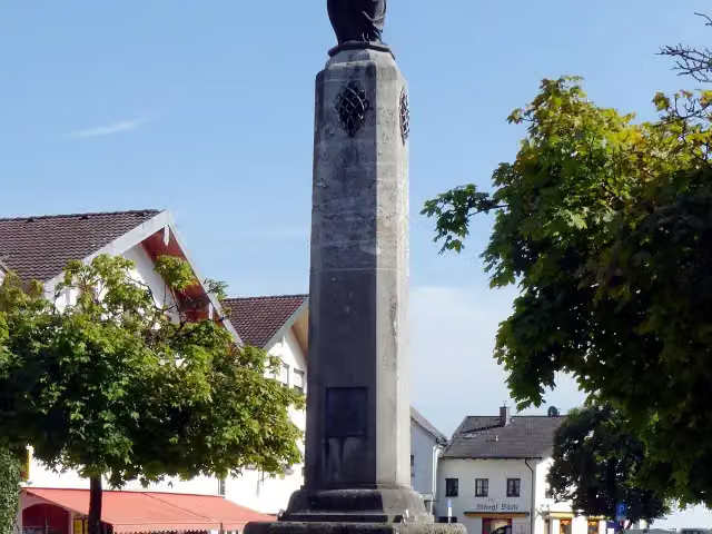 MemorialMemorial · 225 m from the route
- 16
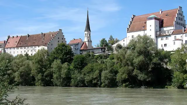 WasserburgCastle · 259 m from the route
- 17
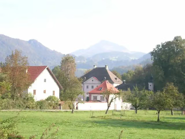 Schloss UrfahrnCastle · 280 m from the route
- 18
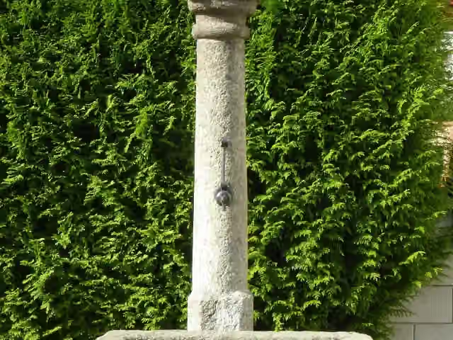 MariensäuleMemorial · 281 m from the route
- 19
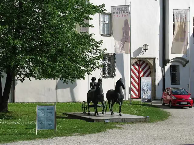 OberhausmuseumMuseum · 283 m from the route
- 20
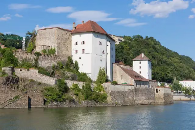 Veste NiederhausCastle · 286 m from the route
- 21
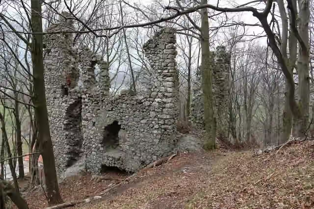 Burgruine KatzensteinCastle · 341 m from the route
- 22
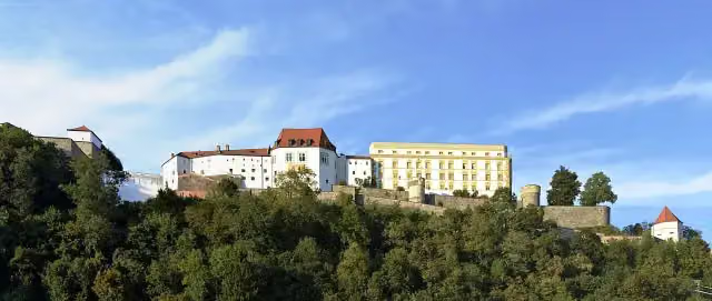 Veste OberhausAttraction · 358 m from the route
- 23
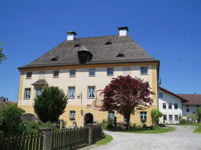 VogteiCastle · 360 m from the route
- 24
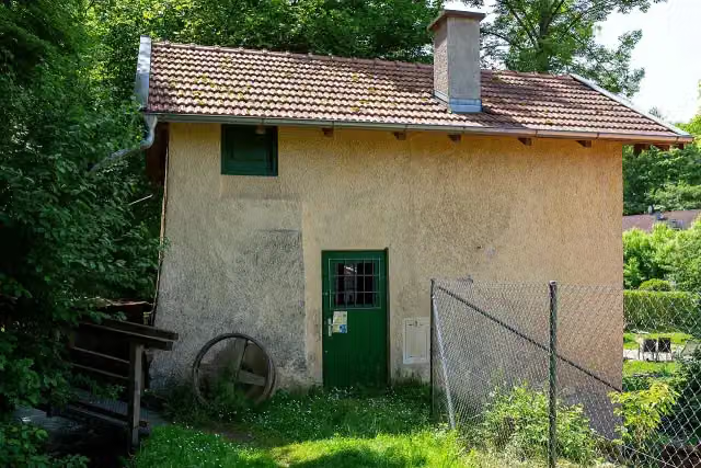 Schuster-SchleifMuseum · 361 m from the route
- 25
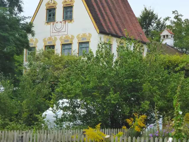 Schloss WeikertshamCastle · 369 m from the route
Explore more
More cycle routes around Kufstein
Frequently asked questions
How long is Innradweg?
Innradweg is 328.9 km long, in 3 stages of 109.6 km on average. Allow ± 7:20 h per stage of riding: 15 km an hour, without breaks.
How many stages does this route have?
The route is split into 3 stages of 104.5 km on average, 313.6 km in all. The shortest stage is 82.5 km, the longest 146 km.
Is this route a circular ride?
No, the route starts and ends at different spots.
Where does this route start?
The route starts in Kufstein.
How hard is this route?
Hard per stage, with 324 m per stage of climbing.
Are there toilets along this route?
Yes, there are 14 public toilets within 100 m of the route. The longest stretch without a toilet is 112.3 km.
Can you fill up with water along this route?
Yes, there are 6 water fountains and refill points within 100 m of the route.
What is there to see along this route?
Along the way you pass Industriemuseum Blaahaus, Inn-Museum and Burgstall Königswart.
Which stage of this route has the most points of interest?
Stage 3 (146 km), with 11 points of interest along the route, such as Hammerschmiede Maximilian, Heimatmuseum Kraiburg am Inn and Kreismuseum Mühldorf.
Can I download this route as a GPX file?
Yes. Sign in with your Outdoor Pitstop account and choose Download GPX at the top of this page: 10 routes a month for free, unlimited with Pro.
Starting point
More routes from this place
Route data © OpenStreetMap contributors





