 Outdoor Pitstop
Cycle route · Weimar · Updated on 13 November 2026
Laura-Radweg cycle route
Laura-Radweg is a cycle route of 46.9 km from Weimar. Along the way you'll find 102 benches, 2 water fountains and refill points and 3 public toilets.
i
i
i
The route step by step
From start to finish, with what you pass along the way and the distance in between.
- 46.9 km
- ± 3:10 h
- ↑ 178 m · ↓ 249 m
- Moderate
- From A to B
- Regional route
Start in Weimar
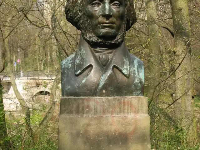
0 kmAt the start: Adam-Mickiewicz-Denkmal and Albert-Schweitzer-Denkmal.
154 m · bench

Albert-Schweitzer-Museum
154 mMuseum
201 m · 2 benches
Museum zur bürgerlichen Wohnkultur im 18. und 19. Jahrhundert and 3 more
355 mLöwenbrunnen, Johannes Falk, Delphinbrunnen and public toilet
236 m · 3 benches
Pavillon-Presse and 3 more
591 mBrunnen am Graben, Kasseturm, Kunsthalle Harry Graf Kessler and public toilet
208 m · 18 benches
Stadtmuseum Weimar
799 mMuseum
325 m · 7 benches
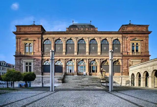
Museum Neues Weimar
1.1 kmMuseum
273 m · 5 benches
Ernst-Thälmann-Denkmal
1.4 kmAttraction
256 m · 32 benches
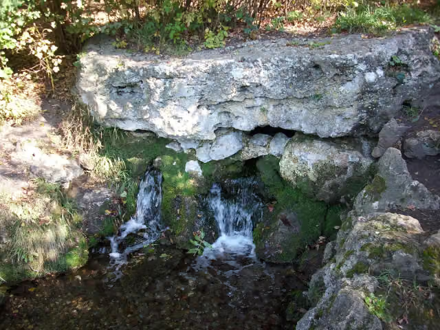
Public toilet and water point
1.7 km22.4 km · 25 benches
Water point
24 km22.9 km · 8 benches
Finish
46.9 km
Longest stretch without a toilet: 45.3 kmBetween 1.7 km and 46.9 km there is no public toilet within 100 m of the route.
The route with the pitstops and sights within 100 m of it.
14 sights along the way
In the order you pass them. With the Outdoor Pitstop app you hear their story on the spot. 6 more along the route are on the map.
i
Photo: Most Curious · Wikimedia Commons · CC BY-SA 3.0View the photo on Wikimedia CommonsMemorial · after 110 m
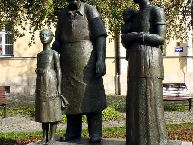
i
Photo: Lucas Friese · Wikimedia Commons · CC BY-SA 3.0View the photo on Wikimedia CommonsMemorial · after 132 m

Museum · after 154 m
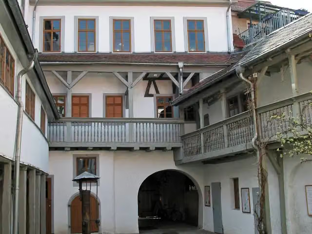
i
Photo: Most Curious · Wikimedia Commons · CC BY-SA 3.0View the photo on Wikimedia CommonsMuseum · after 372 m
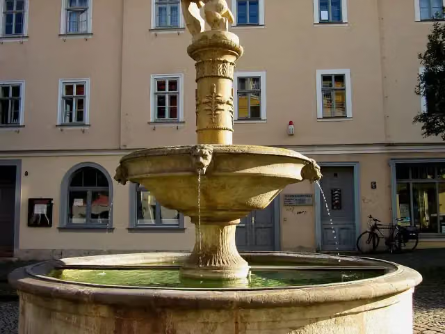
i
Photo: MichaelWE · Wikimedia Commons · CC BY-SA 3.0 deView the photo on Wikimedia CommonsAttraction · after 420 m
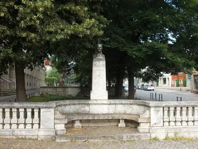
i
Photo: Jwaller · Wikimedia Commons · CC BY-SA 3.0View the photo on Wikimedia CommonsMemorial · after 484 m
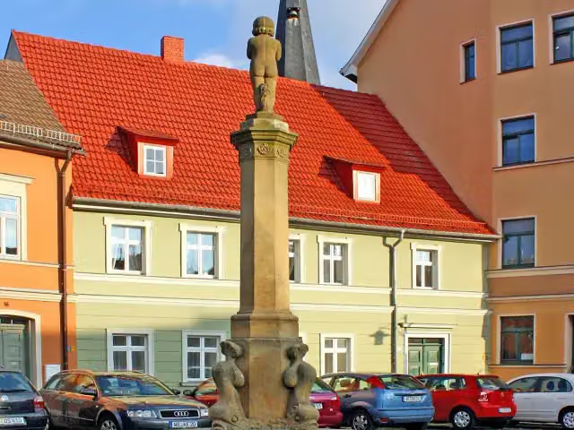
i
Photo: Lucas Friese · Wikimedia Commons · CC BY-SA 3.0View the photo on Wikimedia CommonsAttraction · after 492 m
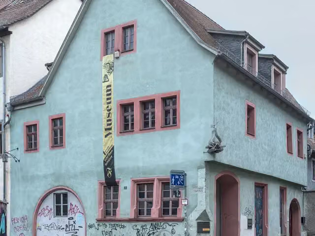
i
Photo: August Geyler · Wikimedia Commons · CC BY-SA 4.0View the photo on Wikimedia CommonsMuseum · after 591 m
Elevation and terrain
- Up
- ↑ 178 m
- Down
- ↓ 249 m
- Highest point
- 335 m
- Lowest point
- 141 m
- 5-10% slope · 472 m
Elevation from Copernicus GLO-30 (European Union and ESA), smoothed.
produced using Copernicus WorldDEM-30 © DLR e.V. 2010-2014 and © Airbus Defence and Space GmbH 2014-2018 provided under COPERNICUS by the European Union and ESA; all rights reserved
Way types
46.9 km in total- Street: 12.4 km
- Path: 11 km
- Road: 10.6 km
- Track: 10.1 km
- Busy road: 2.4 km
- Footpath (walk your bike): 375 m
- Cycle path: 50 m
Surfaces
46.9 km in total- Asphalt: 37.8 km
- Paved: 6.1 km
- Gravel: 900 m
- Unknown: 2.1 km
About the cycle route Laura-Radweg
Updated on 13 November 2026, with data from OpenStreetMap, the AHN and Copernicus.
Where do you cycle?
Laura-Radweg is a cycle route of 46.9 km that starts in Weimar. It does not end where it starts. Along the way you pass Adam-Mickiewicz-Denkmal (after 110 m), Albert-Schweitzer-Denkmal (after 132 m) and Albert-Schweitzer-Museum (after 154 m).
How hard is the route?
You climb 178 m in total and descend 249 m. Allow ± 3:10 h, without breaks. The level is moderate.
What roads do you cycle on?
The longest part is street (12.4 km), path (11 km) and road (10.6 km). Of the surface, 37.8 km asphalt and 6.1 km paved. For 2.1 km the surface is not known.
Pitstops along the way
Within 100 metres of the route there are 102 benches, 2 water fountains and refill points and 3 public toilets. You can fill your bottle after 1.7 km and after 24 km. The longest stretch without a toilet is 45.3 km. The Outdoor Pitstop app navigates you there.
Cycle routes nearby
4Sights nearby
Within 10 km of the route, best known first.
- 1
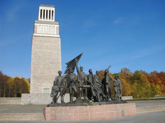 Buchenwald MemorialMonument · 4.5 km from the route
- 2
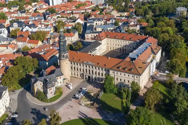 StadtschlossCastle · 169 m from the route
- 3
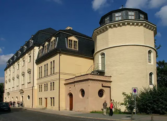 Duchess Anna Amalia LibraryAttraction · 376 m from the route
- 4
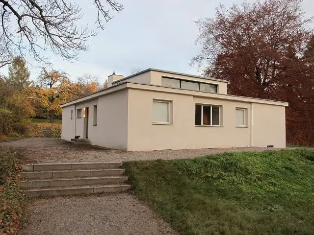 Haus am HornAttraction · 960 m from the route
- 5
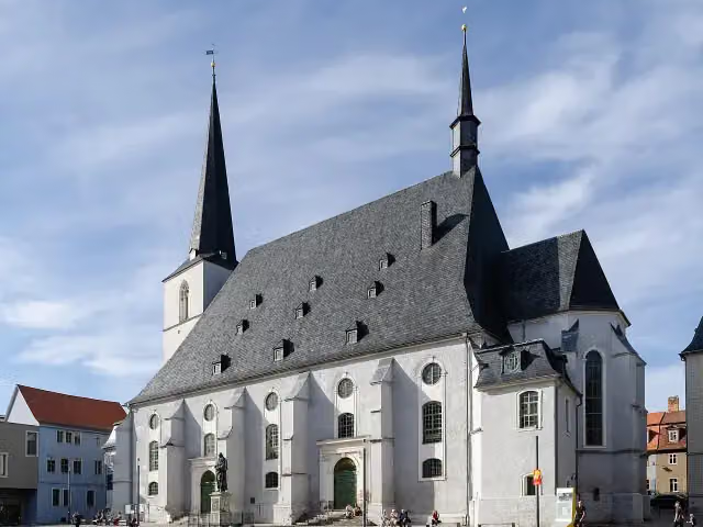 Stadtkirche St. Peter und PaulAttraction · 144 m from the route
- 6
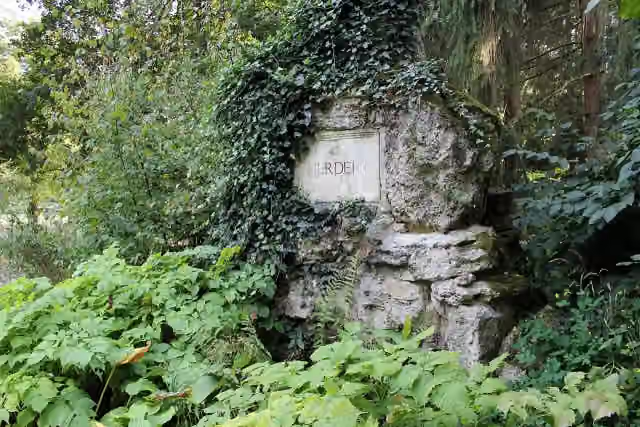 HerderdenkmalMemorial · 2.5 km from the route
- 7
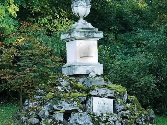 Gedenkstein für Prinz Leopold von Braunschweig-Wolfenbüttel (Weimar)Memorial · 2.5 km from the route
- 8
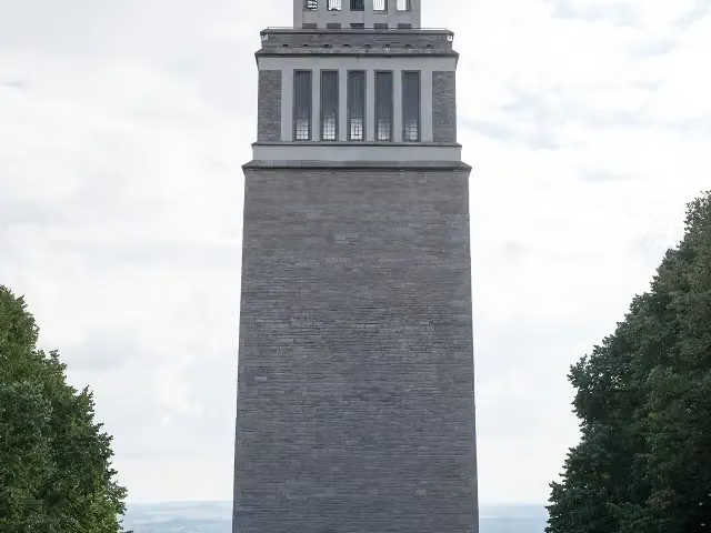 BuchenwaldturmMonument · 4.7 km from the route
- 9
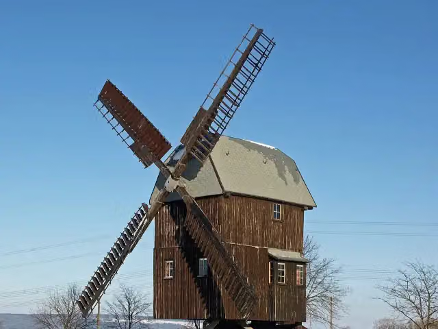 Windmill BechstedtstraßAttraction · 8.9 km from the route
- 10
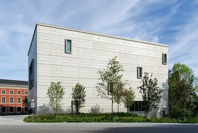 Bauhaus-Museum WeimarMuseum · 90 m from the route
- 11
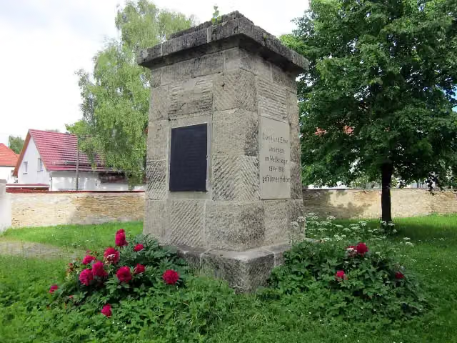 MemorialMemorial · 137 m from the route
- 12
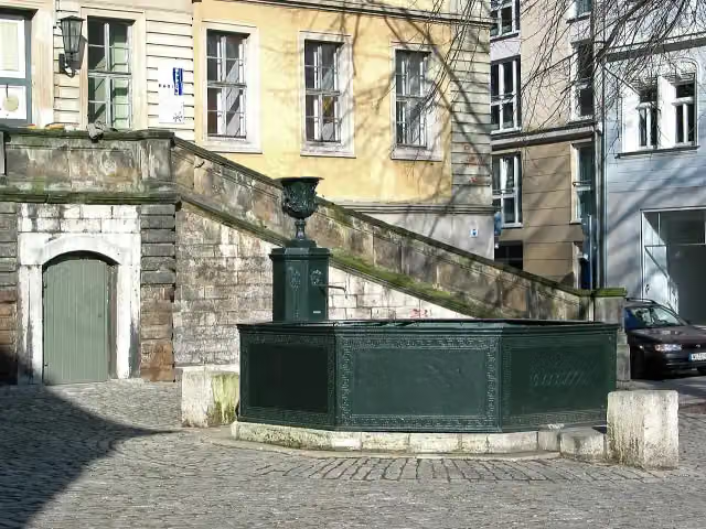 HerderbrunnenAttraction · 140 m from the route
- 13
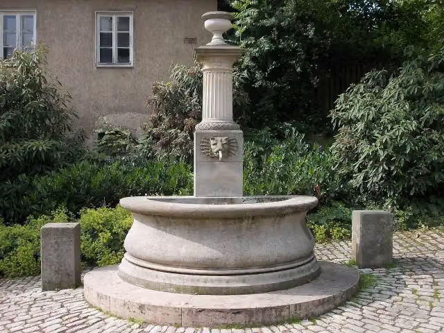 BodebrunnenAttraction · 141 m from the route
- 14
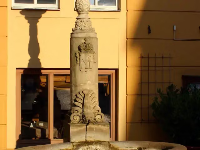 GeleitbrunnenAttraction · 159 m from the route
- 15
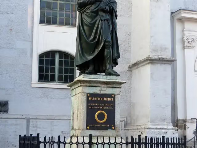 HerderdenkmalMemorial · 161 m from the route
- 16
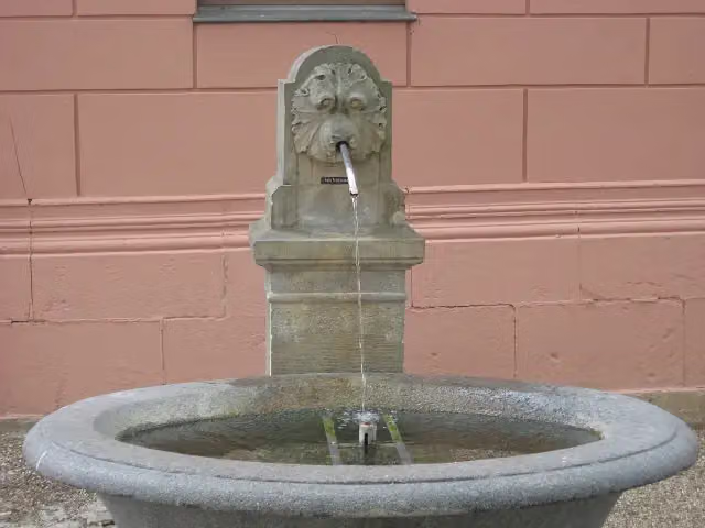 Brunnen am LesemuseumAttraction · 163 m from the route
- 17
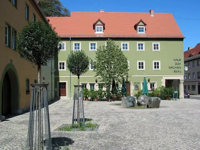 Spucken und SchluckenAttraction · 166 m from the route
- 18
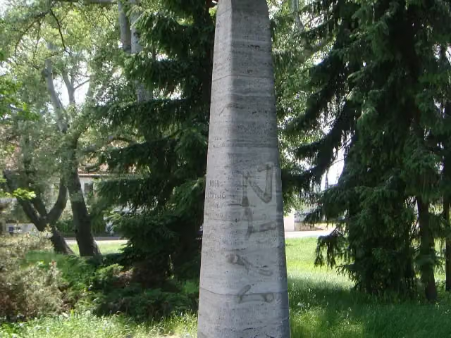 Rosa LuxemburgMemorial · 198 m from the route
- 19
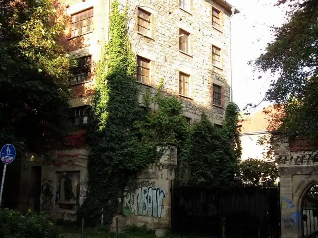 KarlsmühleRuins · 213 m from the route
- 20
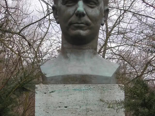 Louis FürnbergMemorial · 221 m from the route
- 21
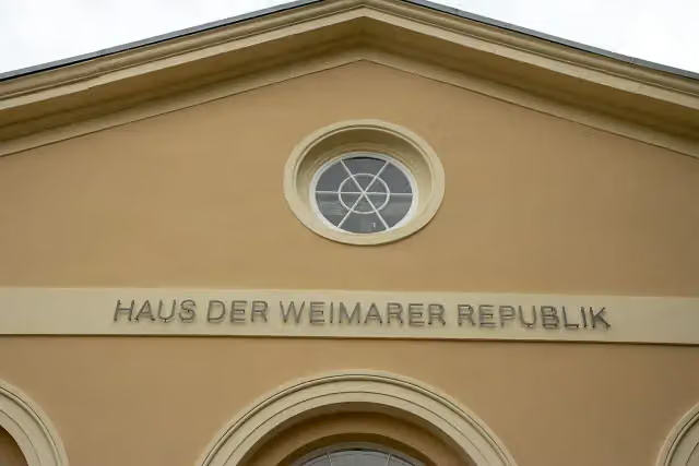 Haus der Weimarer RepublikMuseum · 264 m from the route
- 22
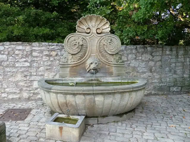 MuschelbrunnenAttraction · 277 m from the route
- 23
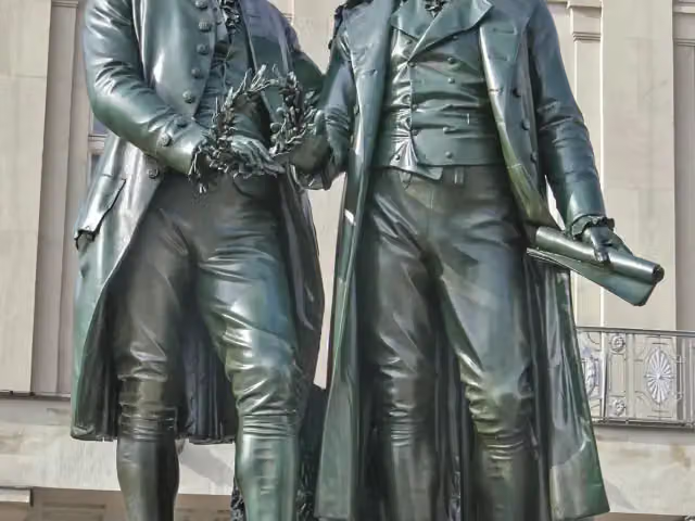 Goethe-Schiller-DenkmalAttraction · 285 m from the route
- 24
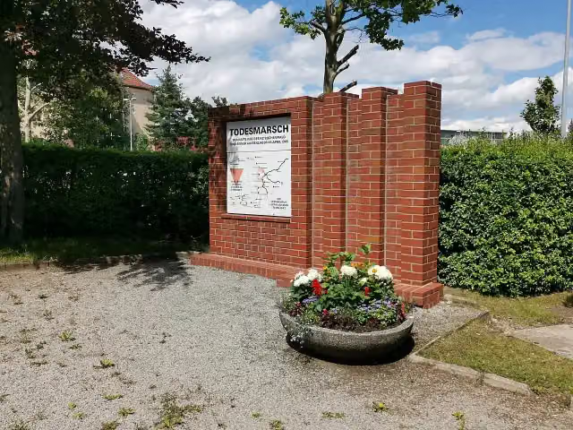 TodesmarschsteleMemorial · 300 m from the route
- 25
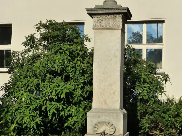 TheaterbrunnenAttraction · 326 m from the route
Explore more
More cycle routes around Weimar
Frequently asked questions
How long is Laura-Radweg?
Laura-Radweg is 46.9 km long. Allow ± 3:10 h of riding: 15 km an hour, without breaks.
Is this route a circular ride?
No, the route starts and ends at different spots.
Where does this route start?
The route starts in Weimar.
How hard is this route?
Moderate, with 178 m of climbing.
Are there toilets along this route?
Yes, there are 3 public toilets within 100 m of the route. The longest stretch without a toilet is 45.3 km.
Can you fill up with water along this route?
Yes, there are 2 water fountains and refill points within 100 m of the route.
What is there to see along this route?
Along the way you pass Adam-Mickiewicz-Denkmal, Albert-Schweitzer-Denkmal and Albert-Schweitzer-Museum.
Can I download this route as a GPX file?
Yes. Sign in with your Outdoor Pitstop account and choose Download GPX at the top of this page: 10 routes a month for free, unlimited with Pro.
Starting point
More routes from this place
Route data © OpenStreetMap contributors





