 Outdoor Pitstop
Cycle route · Neuzelle · Updated on 14 November 2026
Oder-Spree-Tour cycle route
Oder-Spree-Tour is a cycle route of 237.1 km from Neuzelle that starts and ends at the same spot. Along the way you'll find 285 benches, 4 water fountains and refill points and 14 public toilets.
i
i
i
The route step by step
From start to finish, with what you pass along the way and the distance in between.
- 237.1 km
- ± 15:50 h
- ↑ 689 m · ↓ 688 m
- Hard
- Circular ride
- Regional route
Start in Neuzelle
0 km3.4 km · 4 benches

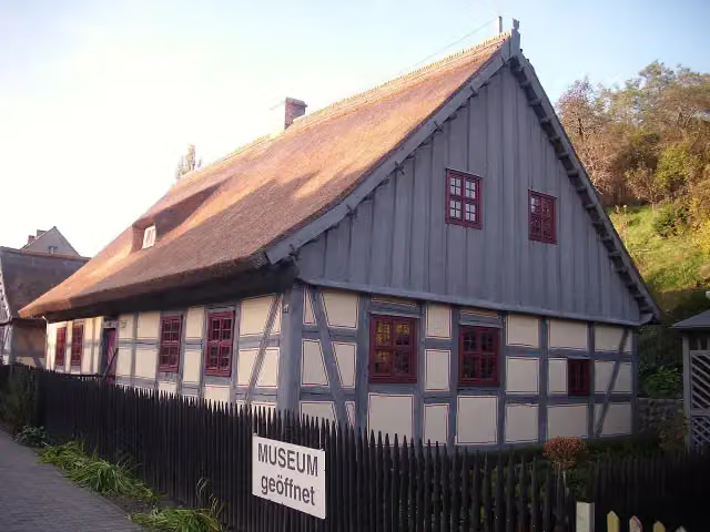
Bauern-Museum
3.4 kmMuseum
952 m
Strohhaus Neuzelle
4.4 kmMuseum
1.2 km · 11 benches
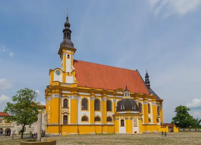
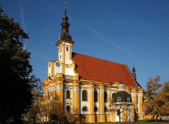
Stiftskirche St. Marien
5.5 km2 public toilets
9.3 km · 11 benches
Städtisches Museum
14.9 kmWater point
29 km · 25 benches
Public toilet
43.8 km9.3 km · 27 benches
Gefallenendenkmal
53.1 km2 public toilets and water point
408 m · 15 benches
Ernst-Thälmann-Denkmal
53.5 kmMemorial
32.8 km · 12 benches
Jagdschloss Fürstenwalde and 1 more
86.3 kmMuseum Fürstenwalde
717 m · 8 benches
Public toilet
87 km265 m · 3 benches
Antifaschistischer Widerstand
87.3 km2 public toilets
4.8 km · 8 benches
Public toilet
92.1 km24.4 km · 15 benches
Sowjetisches Ehrenmal und Soldatenfriedhof
116.5 kmMemorial
2.4 km · 5 benches
Gerhart-Hauptmann-Museum
119 kmMuseum
4.8 km · 15 benches
Public toilet
123.7 km45 km · 36 benches
Public toilet
168.8 km22.5 km · 14 benches
Water point
191.2 km1.1 km · 8 benches
Sowjetische Gedenkstätte
192.3 kmMemorial
346 m · 20 benches
Ältestes Haus in Beeskow
192.6 kmPublic toilet and water point
497 m · 27 benches
Burg Beeskow
193.1 kmCastle
20.7 km · 18 benches
2 public toilets
213.8 km23.2 km · 3 benches
Back at the start
237.1 km
Longest stretch without a toilet: 45 kmBetween 123.7 km and 168.8 km there is no public toilet within 100 m of the route.
The route with the pitstops and sights within 100 m of it.
14 sights along the way
In the order you pass them. With the Outdoor Pitstop app you hear their story on the spot. 6 more along the route are on the map.

Museum · after 3.4 km
i
Photo: J.Rzadkowski · Wikimedia Commons · CC BY-SA 3.0View the photo on Wikimedia CommonsMuseum · after 4.4 km
i
Photo: J.-H. Janßen · Wikimedia Commons · CC BY-SA 4.0View the photo on Wikimedia CommonsAttraction · after 5.6 km
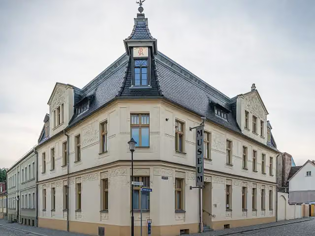
i
Photo: A.Savin · Wikimedia Commons · FALView the photo on Wikimedia CommonsMuseum · after 14.9 km
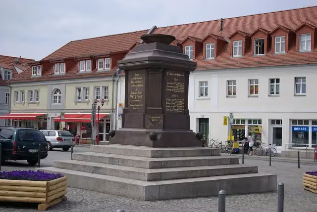
i
Photo: Clemensfranz · Wikimedia Commons · CC BY-SA 3.0View the photo on Wikimedia CommonsMemorial · after 53.1 km
i
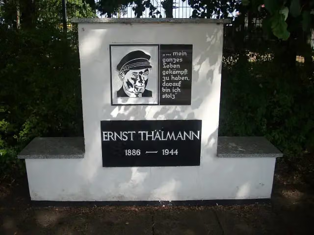
Photo: J.Rzadkowski · Wikimedia Commons · CC BY-SA 3.0 deView the photo on Wikimedia CommonsMemorial · after 53.5 km
i
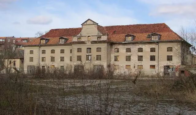
Photo: Doris Antony, Berlin · Wikimedia Commons · CC BY-SA 3.0View the photo on Wikimedia CommonsCastle · after 86.3 km
Museum · after 86.4 km
Elevation and terrain
- Up
- ↑ 689 m
- Down
- ↓ 688 m
- Highest point
- 137 m
- Lowest point
- 25 m
Nowhere steeper than 5%.
Elevation from Copernicus GLO-30 (European Union and ESA), smoothed.
produced using Copernicus WorldDEM-30 © DLR e.V. 2010-2014 and © Airbus Defence and Space GmbH 2014-2018 provided under COPERNICUS by the European Union and ESA; all rights reserved
Way types
237.1 km in total- Path: 92.5 km
- Road: 71.5 km
- Street: 31.6 km
- Track: 21.9 km
- Busy road: 15.8 km
- Footpath (walk your bike): 3.3 km
- Cycle path: 125 m
Surfaces
237.1 km in total- Asphalt: 198.7 km
- Paved: 35.6 km
- Gravel: 2.1 km
- Unknown: 412 m
About the cycle route Oder-Spree-Tour
Updated on 14 November 2026, with data from OpenStreetMap, the AHN and Copernicus.
Where do you cycle?
Oder-Spree-Tour is a circular ride of 237.1 km from Neuzelle: it starts and ends in the same place. Along the way you pass Bauern-Museum (after 3.4 km), Strohhaus Neuzelle (after 4.4 km) and Stiftskirche St. Marien (after 5.6 km).
How hard is the route?
You climb 689 m in total and descend 688 m. Allow ± 15:50 h, without breaks. The level is hard.
What roads do you cycle on?
The longest part is path (92.5 km), road (71.5 km) and street (31.6 km). Of the surface, 198.7 km asphalt and 35.6 km paved. For 412 m the surface is not known.
Pitstops along the way
Within 100 metres of the route there are 285 benches, 4 water fountains and refill points and 14 public toilets. You can fill your bottle after 14.9 km, after 53.1 km, after 191.2 km and after 192.7 km. The longest stretch without a toilet is 45 km. The Outdoor Pitstop app navigates you there.
Cycle routes nearby
3Sights nearby
Within 10 km of the route, best known first.
- 1
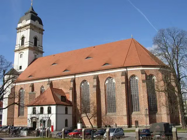 Saint Mary's CathedralAttraction · 164 m from the route
- 2
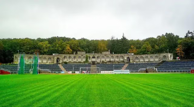 Olympic Stadium in SlubiceMonument · 7.7 km from the route
- 3
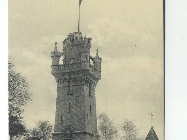 Ruiny Wieży KleistaRuins · 7.8 km from the route
- 4
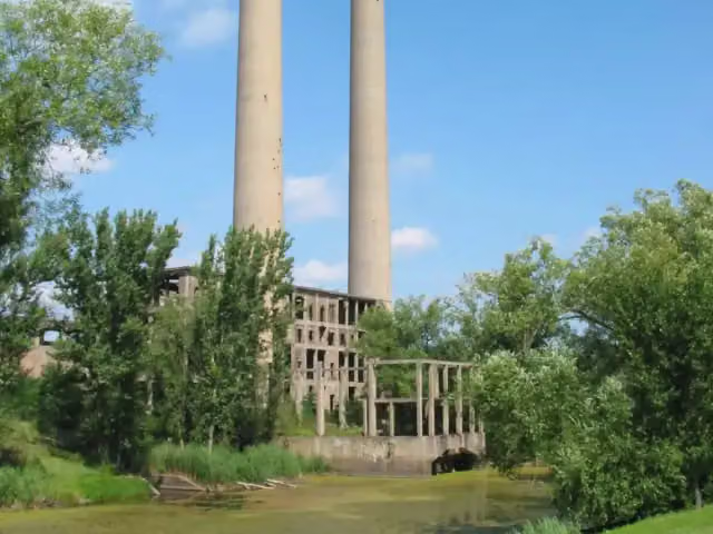 Kraftwerk Vogelsang (Wernerwerk)Ruins · 164 m from the route
- 5
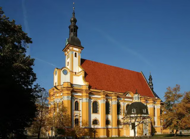 Kloster NeuzelleAttraction · 190 m from the route
- 6
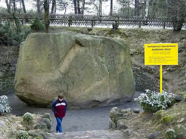 Kobbelner SteinAttraction · 321 m from the route
- 7
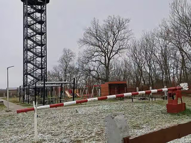 Observation towerObservation tower · 495 m from the route
- 8
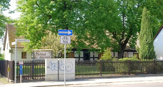 Heimatmuseum ErknerMuseum · 685 m from the route
- 9
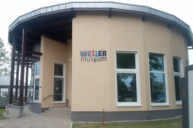 WettermuseumMuseum · 856 m from the route
- 10
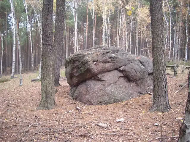 TeufelssteinAttraction · 1.5 km from the route
- 11
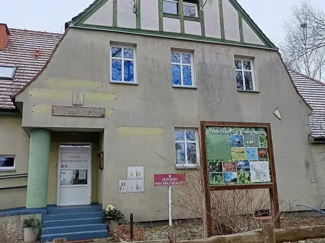 Muzeum Bociana BiałegoMuseum · 1.6 km from the route
- 12
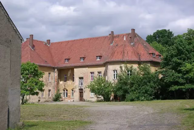 Schloß LindenbergCastle · 1.8 km from the route
- 13
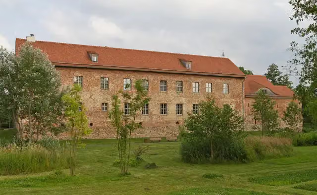 Burg StorkowAttraction · 2 km from the route
- 14
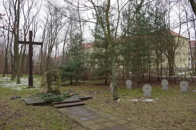 Memorial for the Soviet Special Camp 5Memorial · 2.1 km from the route
- 15
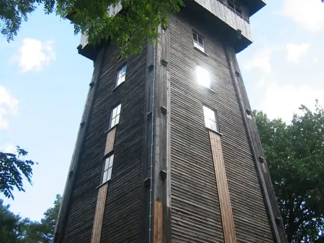 Aussichtsturm KranichsbergObservation tower · 2.2 km from the route
- 16
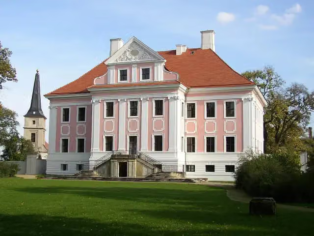 Schloss Groß RietzCastle · 2.5 km from the route
- 17
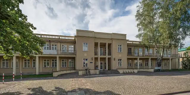 Museum Utopie und Alltag – Dokumentationszentrum Alltagskultur der DDRMuseum · 2.6 km from the route
- 18
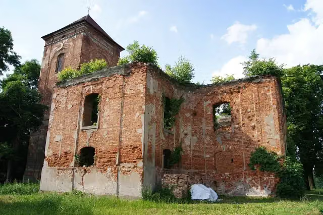 Kirchenruine LossowRuins · 2.7 km from the route
- 19
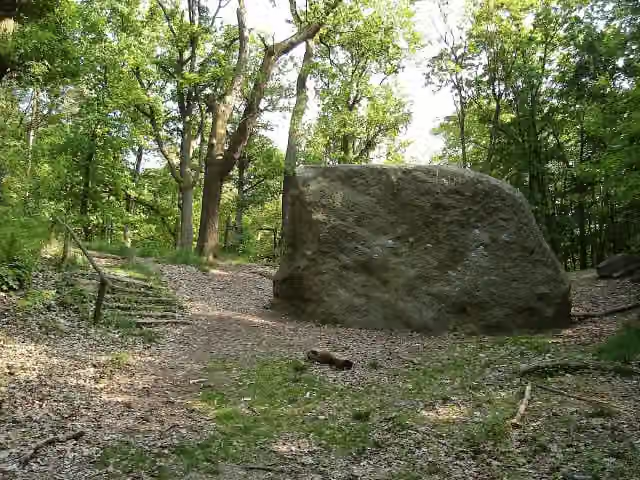 Steinerner TischAttraction · 3.1 km from the route
- 20
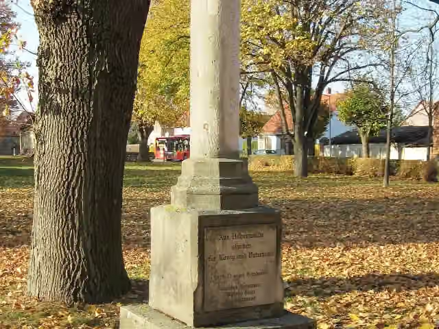 MemorialMemorial · 3.3 km from the route
- 21
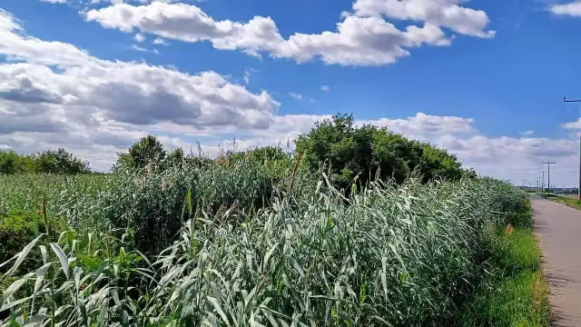 GrodischArchaeological site · 4 km from the route
- 22
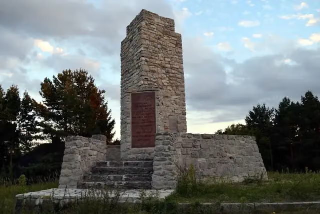 Den Opfern von Faschismus und KriegMemorial · 4.1 km from the route
- 23
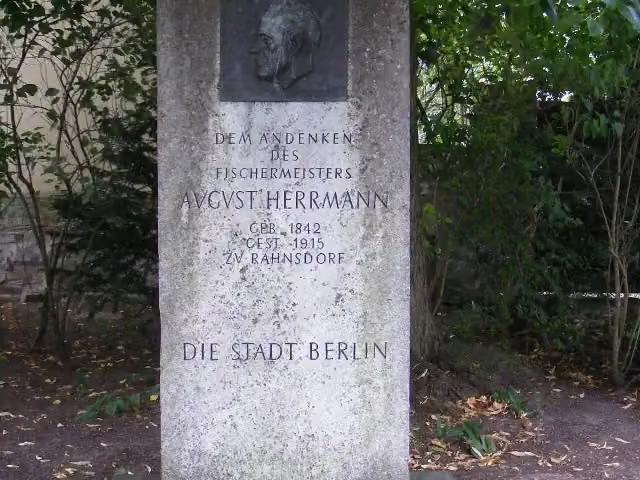 Gedenkstein für August HermannMemorial · 4.6 km from the route
- 24
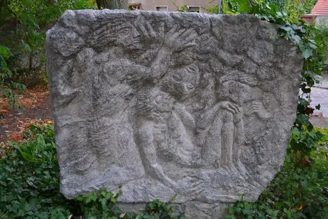 Böse WolkeMemorial · 4.6 km from the route
- 25
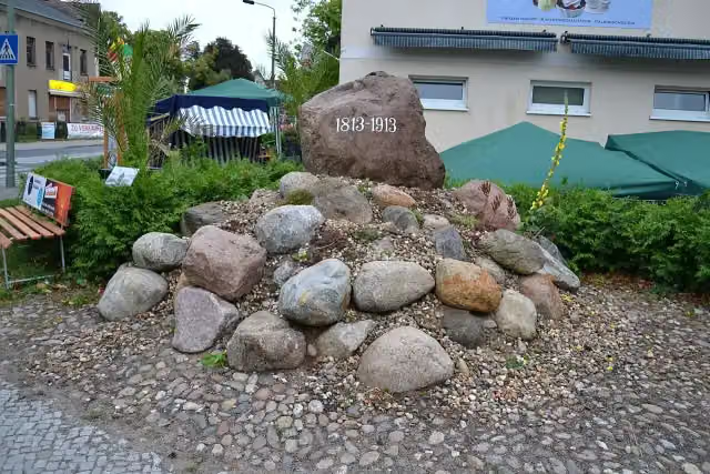 Gedenkstein an die Befreiungskriege 1813-1815Memorial · 5.1 km from the route
Explore more
More cycle routes around Neuzelle
Frequently asked questions
How long is Oder-Spree-Tour?
Oder-Spree-Tour is 237.1 km long. Allow ± 15:50 h of riding: 15 km an hour, without breaks.
Is this route a circular ride?
Yes, the route starts and ends at the same spot.
Where does this route start?
The route starts in Neuzelle.
How hard is this route?
Hard, with 689 m of climbing.
Are there toilets along this route?
Yes, there are 14 public toilets within 100 m of the route. The longest stretch without a toilet is 45 km.
Can you fill up with water along this route?
Yes, there are 4 water fountains and refill points within 100 m of the route.
What is there to see along this route?
Along the way you pass Bauern-Museum, Strohhaus Neuzelle and Stiftskirche St. Marien.
Can I download this route as a GPX file?
Yes. Sign in with your Outdoor Pitstop account and choose Download GPX at the top of this page: 10 routes a month for free, unlimited with Pro.
Starting point
More routes from this place
Route data © OpenStreetMap contributors





