 Outdoor Pitstop
Cycle route · Wismar · Updated on 14 November 2026
Westlicher Backstein Rundweg cycle route
Westlicher Backstein Rundweg is a cycle route of 88.5 km from Wismar. Along the way you'll find 439 benches, 2 water fountains and refill points, 49 public toilets, 6 bike pumps and 1 honesty box.
i
i
i
The route step by step
From start to finish, with what you pass along the way and the distance in between.
- 88.5 km
- ± 5:55 h
- ↑ 203 m · ↓ 215 m
- Hard
- From A to B
- Regional route
- Colour of the signs
Start in Wismar
0 km1.7 km · 3 benches

Archidiakonat and 1 more
1.7 kmWasserkunst and 2 public toilets
719 m · 26 benches
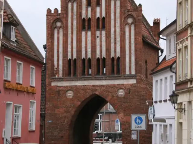
Wassertor
2.4 kmAttraction
15.7 km · 13 benches
Dorfmuseum Stove
18.1 kmPublic toilet
11.7 km · 3 benches
Herrenhaus Roggow
29.8 kmCastle
4.1 km · bench
Public toilet
33.9 km2.4 km · 4 benches
Urdolmen von Neu Gaarz
36.3 kmAttraction
5.1 km
Honesty box
41.4 km769 m
Public toilet
42.2 km2.1 km · 2 benches
Bike pump
44.3 km530 m · bench
Public toilet
44.8 km1.5 km · 16 benches
2 public toilets
46.3 km230 m · 9 benches
2 public toilets
46.5 km494 m · 4 benches
Public toilet
47 km237 m · bench
Public toilet
47.2 km213 m · 3 benches
2 public toilets
47.5 km241 m · 10 benches
Public toilet
47.7 km241 m · 17 benches
Public toilet
47.9 km360 m · 49 benches
Public toilet
48.3 km200 m · 11 benches
Public toilet
48.5 km412 m · bench
2 public toilets
48.9 km308 m
Public toilet
49.2 km370 m · 4 benches
Public toilet
49.6 km957 m · 9 benches
Public toilet and water point
50.6 km2.3 km · 5 benches
Public toilet and bike pump
52.9 km1.3 km · 3 benches
Public toilet
54.1 km1 km · 7 benches
Public toilet and bike pump
55.1 km333 m · 2 benches
Public toilet
55.5 km987 m · 2 benches
Public toilet
56.5 km1.2 km · bench
Public toilet and bike pump
57.6 km
Show the other 15 steps
6.8 km · 15 benches
2 public toilets
64.4 km5.7 km · 27 benches
Public toilet
70.1 km1.5 km · 10 benches
Public toilet
71.6 km337 m · 2 benches
Public toilet
72 km6.8 km · 26 benches
Public toilet
78.8 km2.7 km · 14 benches
Bike pump
81.5 km354 m · bench
Bike pump
81.8 km3.1 km · 23 benches
2 public toilets
84.9 km1.1 km · 18 benches
Gedenkstätte revolutionärer Matrosen
85.9 kmPublic toilet
411 m · 9 benches
Public toilet
86.4 km508 m · 6 benches
Public toilet
86.9 km311 m · 6 benches
Public toilet
87.2 km399 m · 13 benches
Public toilet
87.6 km486 m · 44 benches
6 public toilets and water point
88.1 km412 m · 18 benches
Finish
88.5 kmAt the finish: public toilet.
Longest stretch without a toilet: 16.3 kmBetween 1.8 km and 18.1 km there is no public toilet within 100 m of the route.
The route with the pitstops and sights within 100 m of it.
7 sights along the way
In the order you pass them. With the Outdoor Pitstop app you hear their story on the spot.
i
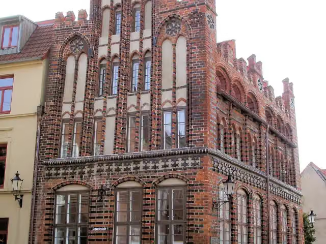
Photo: Schiwago · Wikimedia Commons · CC BY 3.0View the photo on Wikimedia CommonsAttraction · after 1.8 km

Attraction · after 1.8 km
i
Photo: Sten Porse · Wikimedia Commons · CC BY-SA 3.0View the photo on Wikimedia CommonsAttraction · after 2.4 km
Museum · after 18.1 km
Castle · after 29.8 km
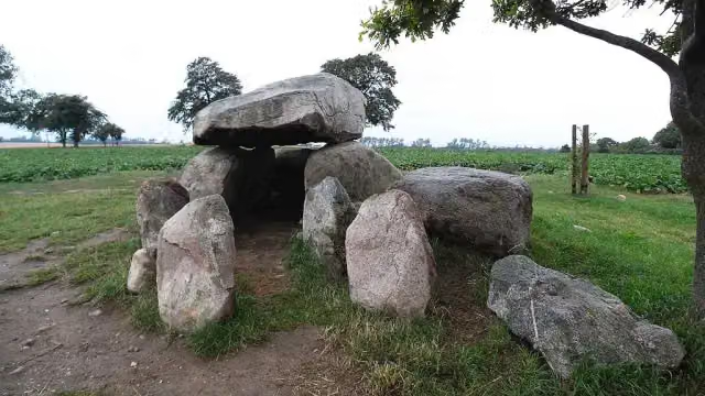
i
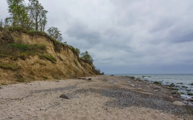
Photo: Holger rix · Wikimedia Commons · CC BY-SA 3.0View the photo on Wikimedia CommonsAttraction · after 36.3 km
Viewpoint · after 85.9 km
Elevation and terrain
- Up
- ↑ 203 m
- Down
- ↓ 215 m
- Highest point
- 63 m
- Lowest point
- 2 m
Nowhere steeper than 5%.
Elevation from Copernicus GLO-30 (European Union and ESA), smoothed.
produced using Copernicus WorldDEM-30 © DLR e.V. 2010-2014 and © Airbus Defence and Space GmbH 2014-2018 provided under COPERNICUS by the European Union and ESA; all rights reserved
Way types
88.5 km in total- Path: 55.5 km
- Street: 13 km
- Road: 11.7 km
- Busy road: 3.3 km
- Cycle path: 2.6 km
- Footpath (walk your bike): 1.5 km
- Track: 725 m
- Unknown: 75 m
Surfaces
88.5 km in total- Asphalt: 61.9 km
- Paved: 13 km
- Gravel: 11.4 km
- Unknown: 2 km
About the cycle route Westlicher Backstein Rundweg
Updated on 14 November 2026, with data from OpenStreetMap, the AHN and Copernicus.
Where do you cycle?
Westlicher Backstein Rundweg is a cycle route of 88.5 km that starts in Wismar. It does not end where it starts. Along the way you pass Archidiakonat (after 1.8 km), Wasserkunst (after 1.8 km) and Wassertor (after 2.4 km).
How hard is the route?
You climb 203 m in total and descend 215 m. Allow ± 5:55 h, without breaks. The level is hard.
What roads do you cycle on?
The longest part is path (55.5 km), street (13 km) and road (11.7 km). Of the surface, 61.9 km asphalt and 13 km paved. For 2 km the surface is not known.
Pitstops along the way
Within 100 metres of the route there are 439 benches, 2 water fountains and refill points, 49 public toilets, 6 bike pumps and 1 honesty box. You can fill your bottle after 50.6 km and after 88.1 km. The longest stretch without a toilet is 16.3 km. The Outdoor Pitstop app navigates you there.
Cycle routes nearby
5- Residenzstädte RundwegHard · Circular ride290 km
- D2 Ostseeküsten-Radweg - Abschnitt MV-NordwestHard · From A to B130.2 km
- EV10 Ostseeküsten-Radweg - Abschnitt Deutschland MV-NordwestHard · From A to B130.2 km
- EuroVelo 13 - Iron Curtain Trail - part 3Hard · From A to B130.3 km
- Mecklenburgischer Seen RundwegHard · Circular ride265.6 km
Sights nearby
Within 10 km of the route, best known first.
- 1
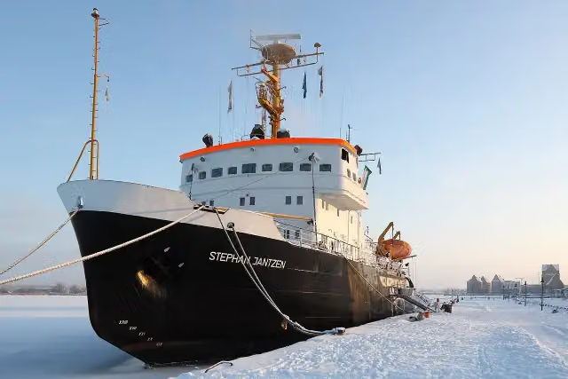 Stephan JantzenAttraction · 92 m from the route
- 2
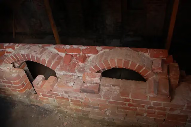 Alte SchuleArchaeological site · 133 m from the route
- 3
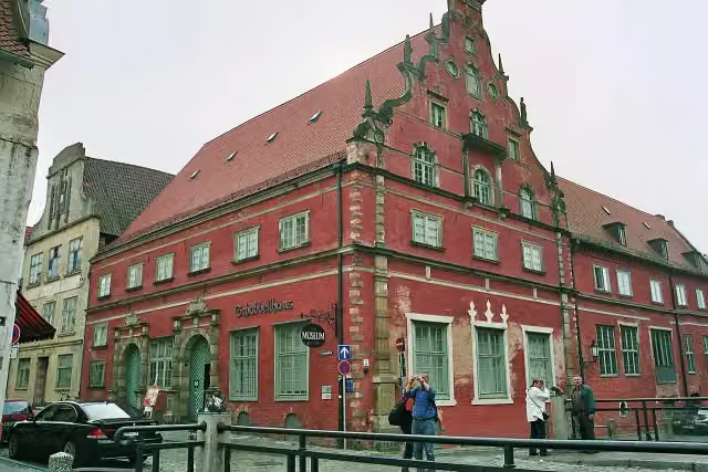 SchabbellhausMuseum · 145 m from the route
- 4
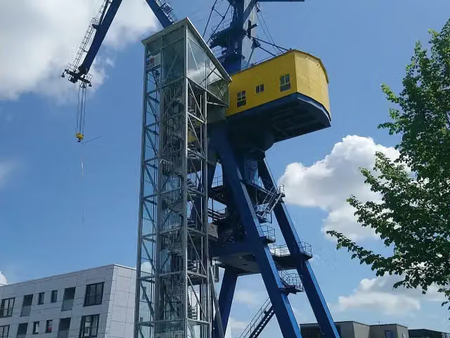 HellingkranAttraction · 157 m from the route
- 5
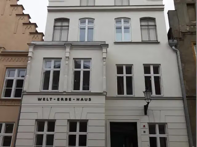 WelterbehausMuseum · 170 m from the route
- 6
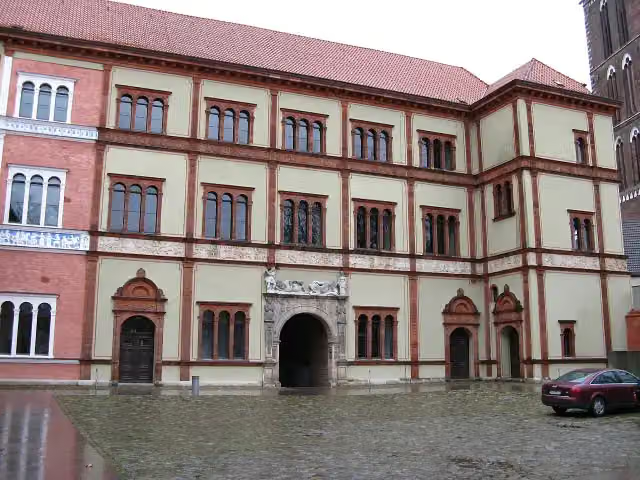 FürstenhofAttraction · 177 m from the route
- 7
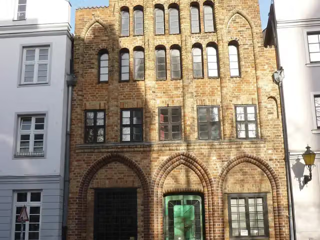 HausbaumhausMuseum · 203 m from the route
- 8
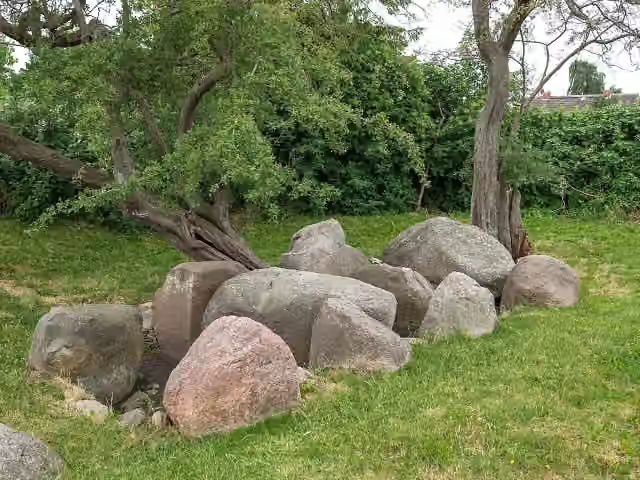 Ganggrab von Neu GaarzAttraction · 216 m from the route
- 9
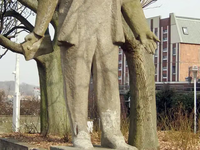 Hermann DunckerMemorial · 240 m from the route
- 10
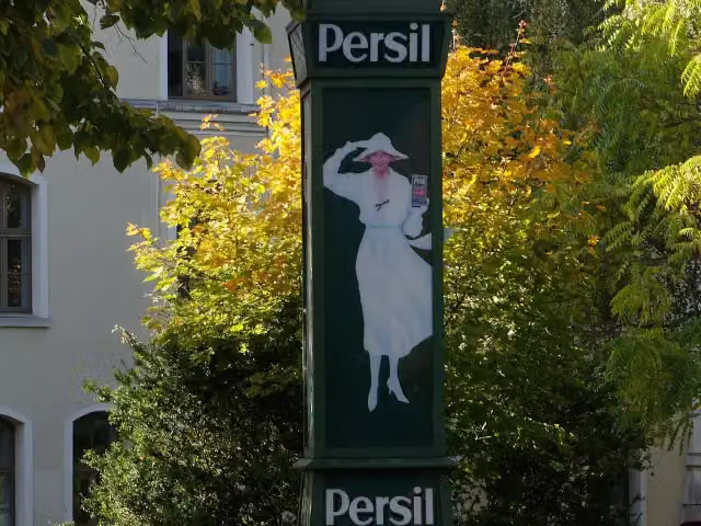 PersiluhrAttraction · 308 m from the route
- 11
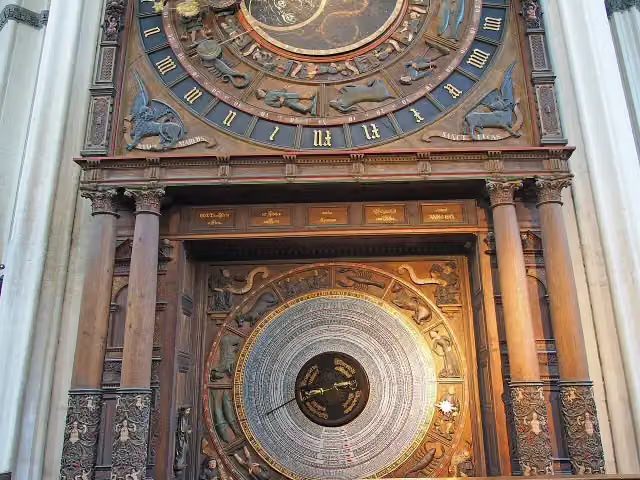 Astronomische UhrAttraction · 354 m from the route
- 12
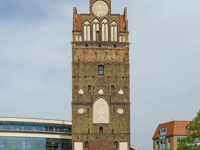 Kröpeliner TorMuseum · 441 m from the route
- 13
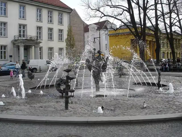 Brunnen der LebensfreudeAttraction · 488 m from the route
- 14
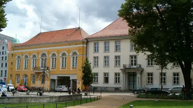 BarocksaalAttraction · 513 m from the route
- 15
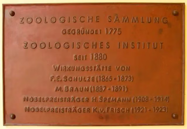 Zoologische Sammlung der Universität RostockMuseum · 566 m from the route
- 16
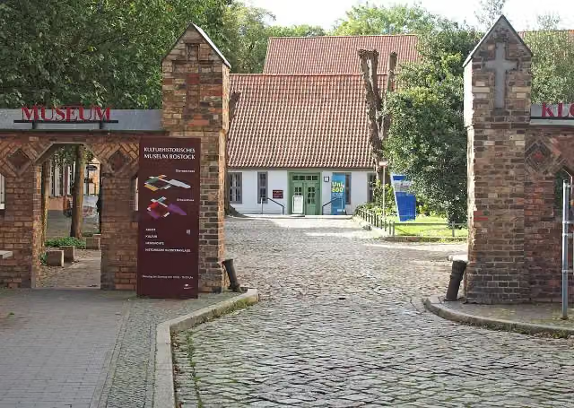 Kulturhistorisches Museum RostockMuseum · 574 m from the route
- 17
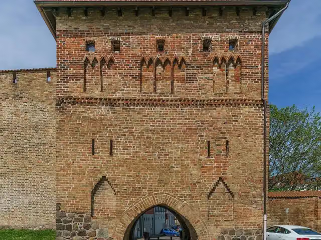 KuhtorAttraction · 607 m from the route
- 18
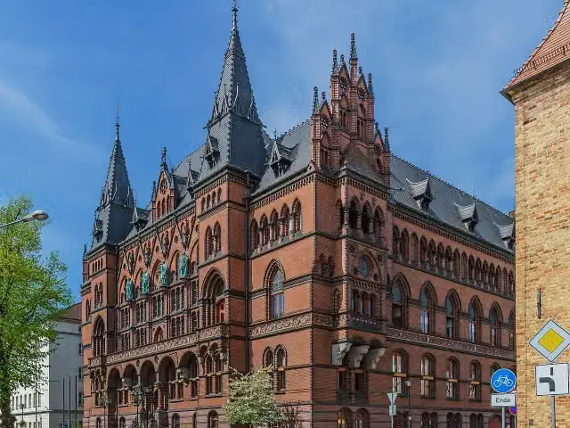 StändehausAttraction · 660 m from the route
- 19
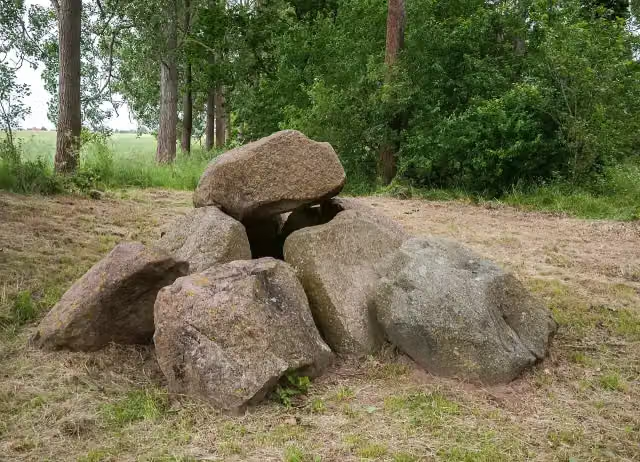 Großsteingrab Mechelsdorf 1Attraction · 698 m from the route
- 20
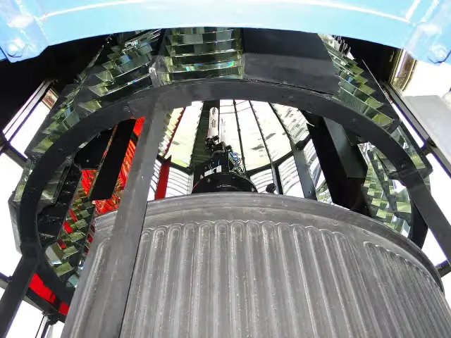 Leuchtturm BukViewpoint · 761 m from the route
- 21
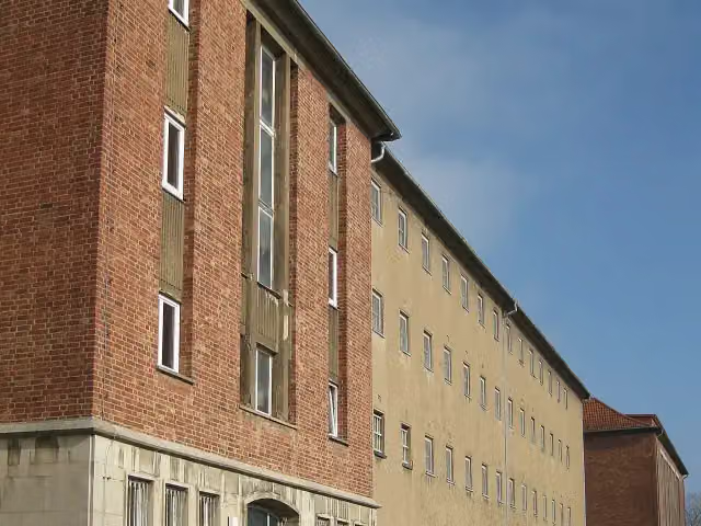 Dokumentations- und Gedenkstätte in der ehemaligen Untersuchungshaft der Staatssicherheit RostockMuseum · 867 m from the route
- 22
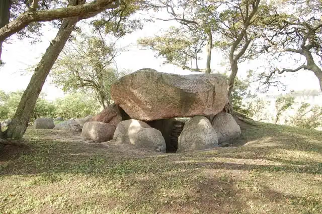 Großdolmen von GaarzerhofAttraction · 877 m from the route
- 23
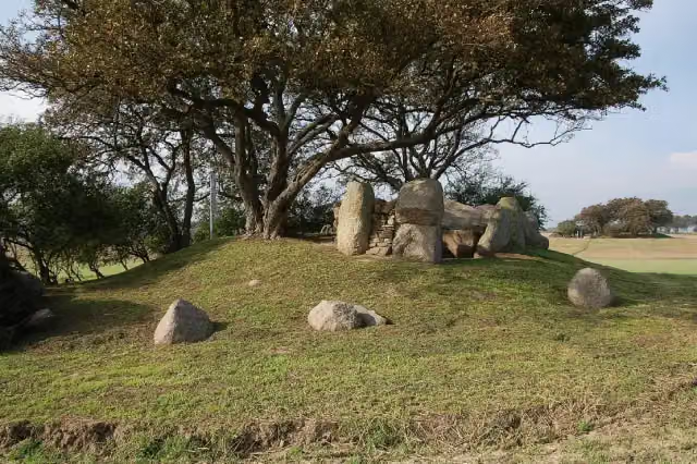 Ganggrab von GaarzerhofAttraction · 915 m from the route
- 24
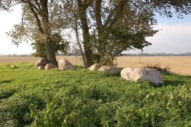 Großsteingrab BlengowAttraction · 1.6 km from the route
- 25
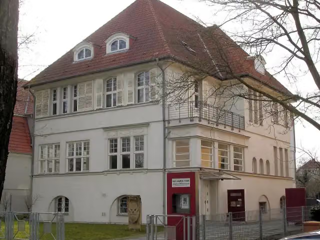 Max-Samuel-HausMuseum · 1.7 km from the route
Explore more
More cycle routes around Wismar
Frequently asked questions
How long is Westlicher Backstein Rundweg?
Westlicher Backstein Rundweg is 88.5 km long. Allow ± 5:55 h of riding: 15 km an hour, without breaks.
Is this route a circular ride?
No, the route starts and ends at different spots.
Where does this route start?
The route starts in Wismar.
How hard is this route?
Hard, with 203 m of climbing.
Are there toilets along this route?
Yes, there are 49 public toilets within 100 m of the route. The longest stretch without a toilet is 16.3 km.
Can you fill up with water along this route?
Yes, there are 2 water fountains and refill points within 100 m of the route.
What is there to see along this route?
Along the way you pass Archidiakonat, Wasserkunst and Wassertor.
Can I download this route as a GPX file?
Yes. Sign in with your Outdoor Pitstop account and choose Download GPX at the top of this page: 10 routes a month for free, unlimited with Pro.
Starting point
More routes from this place
Route data © OpenStreetMap contributors





