 Outdoor Pitstop
Cycle route · Neuengönna · Updated on 14 November 2026
Thüringer Mühlenradweg cycle route
Thüringer Mühlenradweg is a cycle route of 71.3 km from Neuengönna. Along the way you'll find 264 benches, 1 water point and 3 public toilets.
The route step by step
From start to finish, with what you pass along the way and the distance in between.
- 71.3 km
- ± 4:45 h
- ↑ 385 m · ↓ 360 m
- Hard
- From A to B
- Regional route
Start in Neuengönna
0 km3.1 km · 2 benches
Public toilet
3.1 km3.2 km · 16 benches
Public toilet
6.2 km1.2 km · 7 benches
Water point
7.5 km670 m · 30 benches

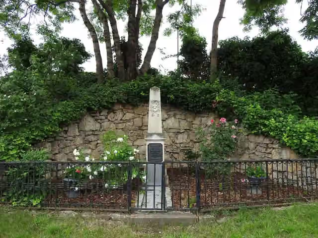
Armenischer Kreuzstein (Chatschkar) and 2 more
8.1 km11. April 1945 and Gedenktafel an den Todesmarsch der Buchenwaldhäftlinge
3.5 km · 34 benches
Zum Gedenken an die Gefallenen des 2. Weltkrieges
11.6 kmMemorial
32 km · 134 benches
Milo-Barus Ausstellung
43.6 kmMuseum
2.2 km · 5 benches
Public toilet
45.7 km12.5 km · 23 benches
Wasserburg
58.3 kmAttraction
13 km · 13 benches
Finish
71.3 km
Longest stretch without a toilet: 39.5 kmBetween 6.2 km and 45.7 km there is no public toilet within 100 m of the route.
The route with the pitstops and sights within 100 m of it.
6 sights along the way
In the order you pass them. With the Outdoor Pitstop app you hear their story on the spot.
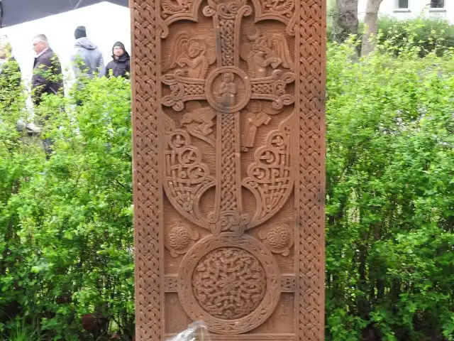
Memorial · after 8.1 km

Memorial · after 8.1 km
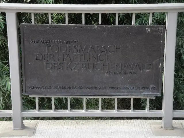
i
Photo: Reise Reise · Wikimedia Commons · CC BY-SA 4.0View the photo on Wikimedia CommonsMemorial · after 8.2 km
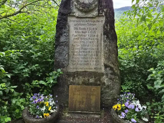
Memorial · after 11.6 km
Museum · after 43.6 km
Attraction · after 58.3 km
Elevation and terrain
- Up
- ↑ 385 m
- Down
- ↓ 360 m
- Highest point
- 335 m
- Lowest point
- 137 m
- 5-10% slope · 358 m
Elevation from Copernicus GLO-30 (European Union and ESA), smoothed.
produced using Copernicus WorldDEM-30 © DLR e.V. 2010-2014 and © Airbus Defence and Space GmbH 2014-2018 provided under COPERNICUS by the European Union and ESA; all rights reserved
Way types
71.3 km in total- Street: 18.4 km
- Path: 15.8 km
- Road: 15 km
- Track: 14.9 km
- Cycle path: 4.4 km
- Footpath (walk your bike): 1.6 km
- Busy road: 1.1 km
Surfaces
71.3 km in total- Asphalt: 58 km
- Gravel: 8.9 km
- Paved: 2.4 km
- Unpaved: 575 m
- Natural: 225 m
- Unknown: 975 m
About the cycle route Thüringer Mühlenradweg
Updated on 14 November 2026, with data from OpenStreetMap, the AHN and Copernicus.
Where do you cycle?
Thüringer Mühlenradweg is a cycle route of 71.3 km that starts in Neuengönna. It does not end where it starts. Along the way you pass Armenischer Kreuzstein (Chatschkar) (after 8.1 km), 11. April 1945 (after 8.1 km) and Gedenktafel an den Todesmarsch der Buchenwaldhäftlinge (after 8.2 km).
How hard is the route?
You climb 385 m in total and descend 360 m. Allow ± 4:45 h, without breaks. The level is hard.
What roads do you cycle on?
The longest part is street (18.4 km), path (15.8 km) and road (15 km). Of the surface, 58 km asphalt and 8.9 km gravel. For 975 m the surface is not known.
Pitstops along the way
Within 100 metres of the route there are 264 benches, 1 water point and 3 public toilets. You can fill your bottle after 7.5 km. The longest stretch without a toilet is 39.5 km. The Outdoor Pitstop app navigates you there.
Cycle routes nearby
5- [D11] Ostsee-Oberbayern 08 [Thüringen Nord]Hard · From A to B62 km
- Saaleradweg Etappe 6 - Von Jena nach Naumburg (Saale)Moderate · From A to B50.8 km
- Saaleradweg Etappe 5 - Von Saalfeld nach JenaModerate · From A to B57.3 km
- [D4] Mittelland-Route (Thüringen-Ost)Hard · From A to B100.4 km
- Thüringer Städtekette Erfurt - JenaHard · From A to B62.8 km
Sights nearby
Within 10 km of the route, best known first.
- 1
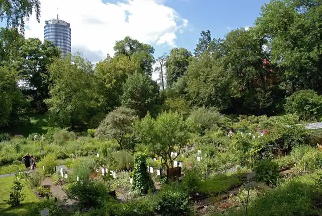 Botanical GardenAttraction · 656 m from the route
- 2
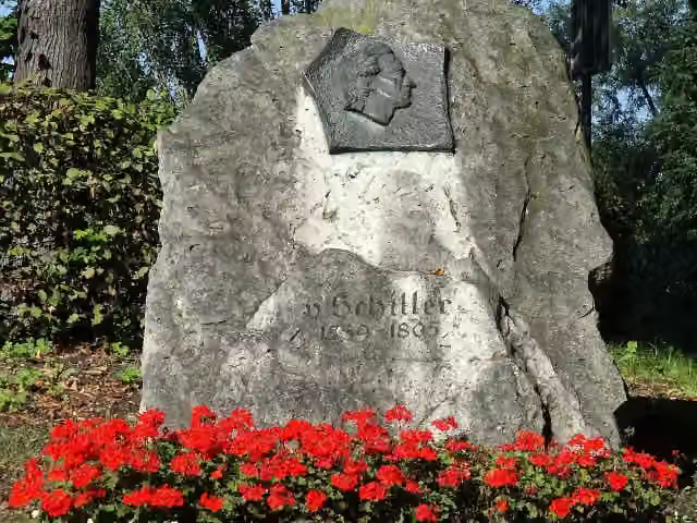 Schiller-GedenksteinMonument · 108 m from the route
- 3
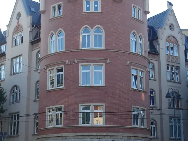 Roter TurmAttraction · 168 m from the route
- 4
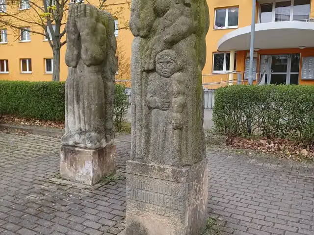 In memoriam Salvador AllendeMemorial · 172 m from the route
- 5
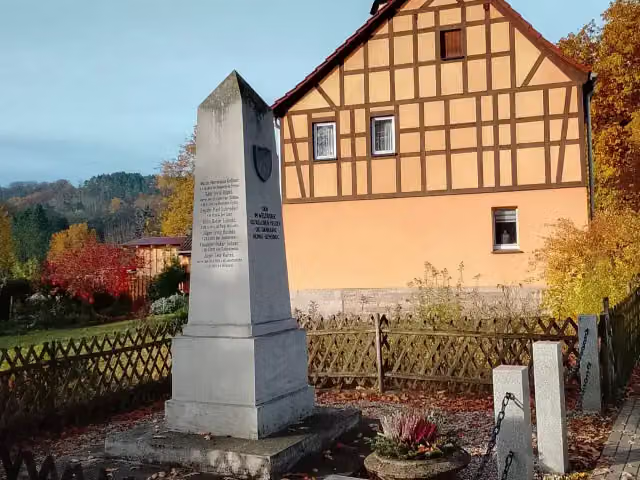 MemorialMemorial · 179 m from the route
- 6
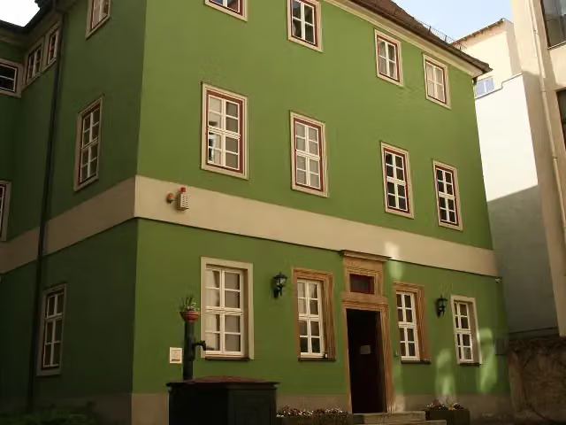 RomantikerhausMuseum · 202 m from the route
- 7
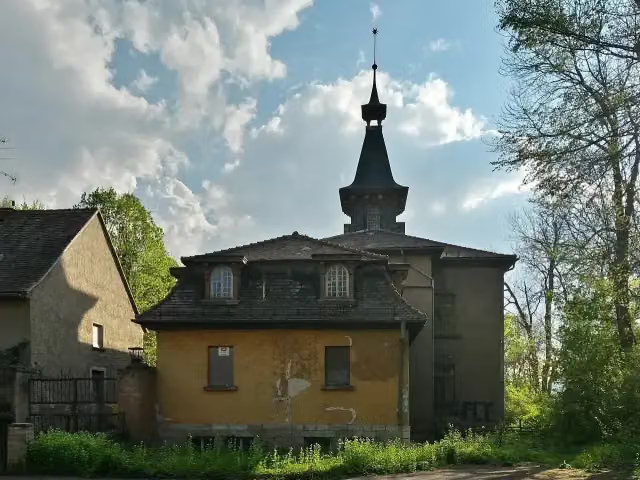 Schloss ThalsteinCastle · 219 m from the route
- 8
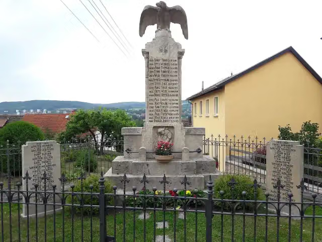 MemorialMemorial · 242 m from the route
- 9
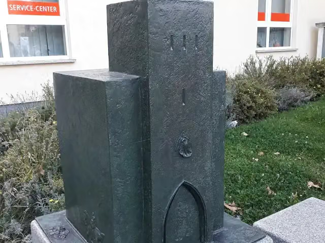 SaaltorMemorial · 258 m from the route
- 10
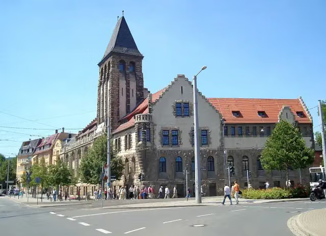 VolksbadAttraction · 259 m from the route
- 11
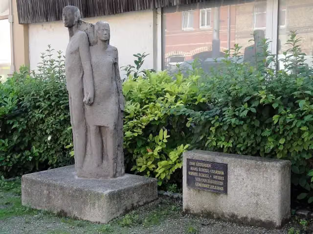 Geschwister SchollMemorial · 264 m from the route
- 12
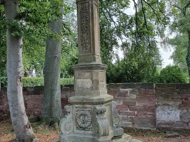 Kriegsdenkmal Bürgel 1870/71Memorial · 269 m from the route
- 13
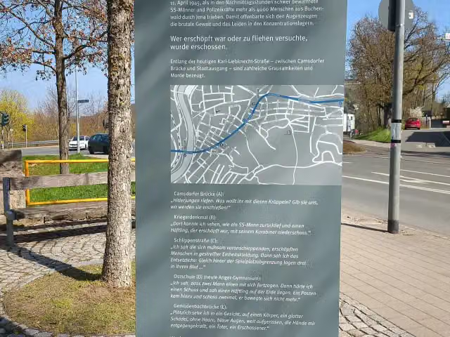 Todesmarsch - 11. April 1945Memorial · 284 m from the route
- 14
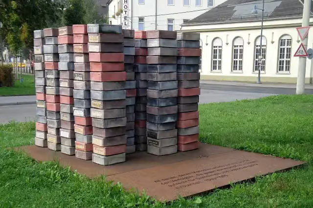 Zum Gedenken an die politisch Verfolgten in der sowjetischen Besatzungszone (SBZ) und in der DDR zwischen 1945 und 1989Memorial · 289 m from the route
- 15
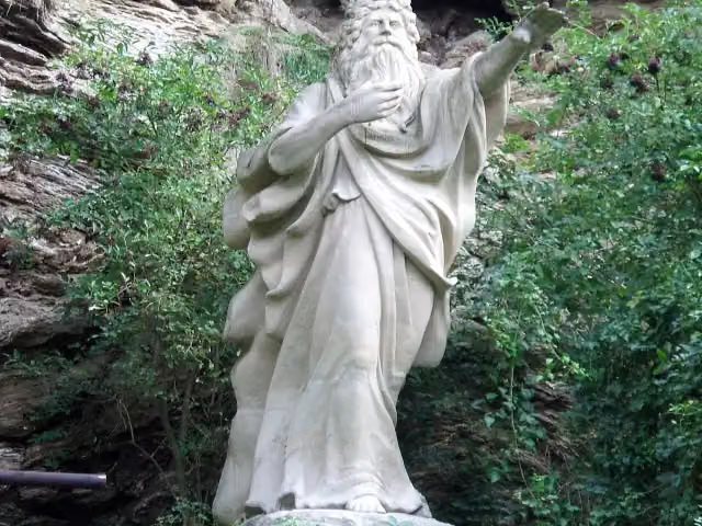 ErlkönigMemorial · 299 m from the route
- 16
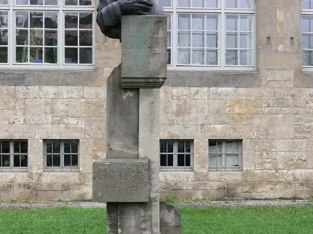 Georg Wilhelm Friedrich HegelMemorial · 319 m from the route
- 17
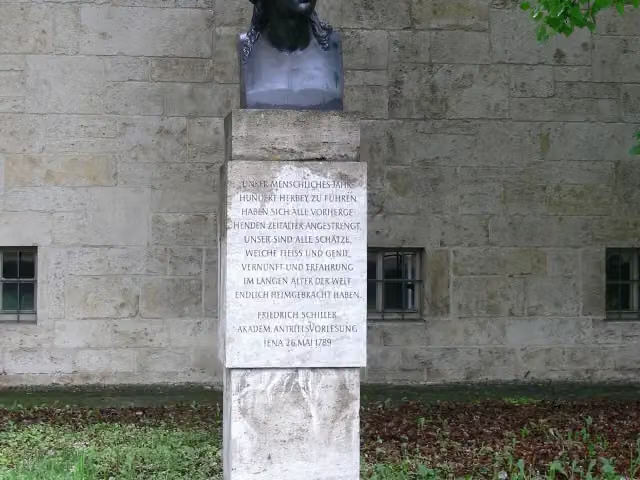 Friedrich SchillerMemorial · 331 m from the route
- 18
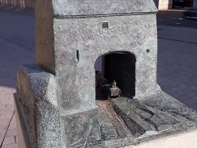 NeutorMemorial · 349 m from the route
- 19
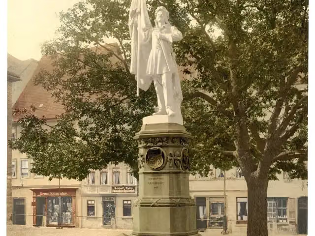 BurschenschaftsdenkmalMemorial · 352 m from the route
- 20
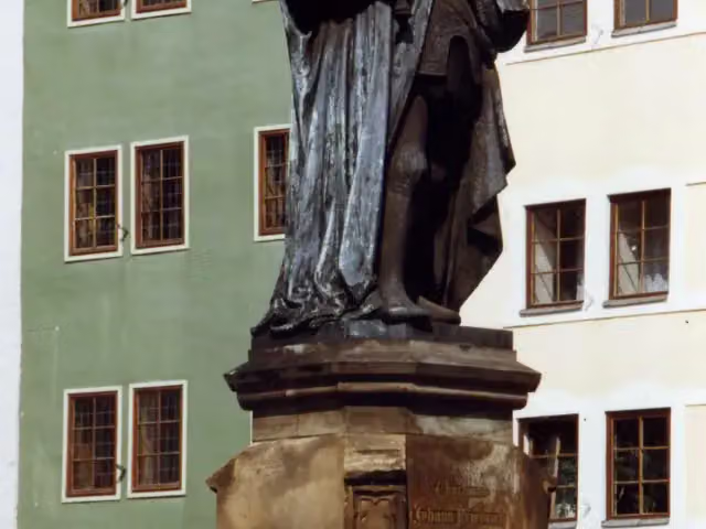 HanfriedAttraction · 353 m from the route
- 21
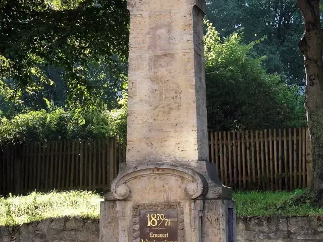 Für die Gefallenen des ersten und zweiten WeltkriegesMemorial · 368 m from the route
- 22
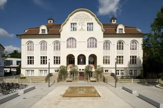 Phyletisches MuseumMuseum · 368 m from the route
- 23
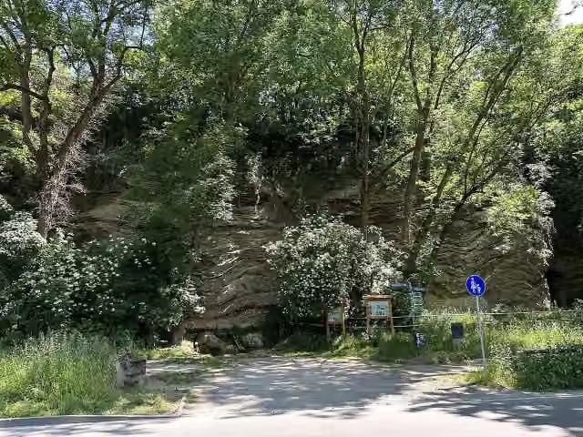 TeufelslöcherAttraction · 392 m from the route
- 24
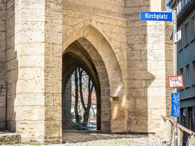 Hinter der KircheAttraction · 401 m from the route
- 25
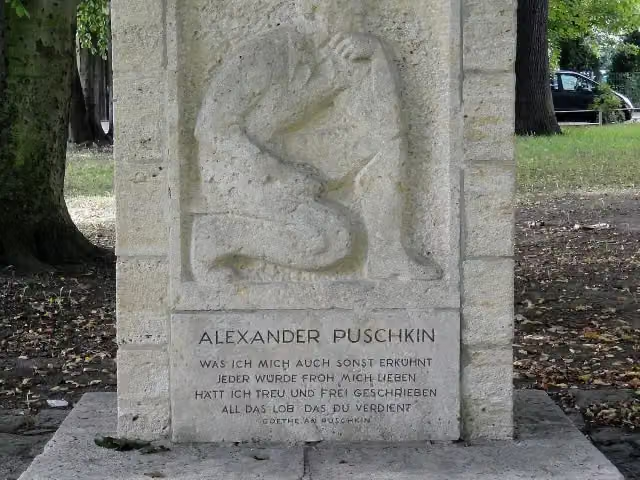 Alexander-Puschkin DenkmalMemorial · 404 m from the route
Explore more
More cycle routes around Neuengönna
Frequently asked questions
How long is Thüringer Mühlenradweg?
Thüringer Mühlenradweg is 71.3 km long. Allow ± 4:45 h of riding: 15 km an hour, without breaks.
Is this route a circular ride?
No, the route starts and ends at different spots.
Where does this route start?
The route starts in Neuengönna.
How hard is this route?
Hard, with 385 m of climbing.
Are there toilets along this route?
Yes, there are 3 public toilets within 100 m of the route. The longest stretch without a toilet is 39.5 km.
Can you fill up with water along this route?
Yes, there are 1 water point within 100 m of the route.
What is there to see along this route?
Along the way you pass Armenischer Kreuzstein (Chatschkar), 11. April 1945 and Gedenktafel an den Todesmarsch der Buchenwaldhäftlinge.
Can I download this route as a GPX file?
Yes. Sign in with your Outdoor Pitstop account and choose Download GPX at the top of this page: 10 routes a month for free, unlimited with Pro.
Starting point
More routes from this place
Route data © OpenStreetMap contributors





