 Outdoor Pitstop
Cycle route · Cottbus - Chóśebuz · Updated on 14 November 2026
Sorbische Impressionen cycle route
Sorbische Impressionen is a cycle route of 278.3 km from Cottbus - Chóśebuz. Along the way you'll find 333 benches, 2 water fountains and refill points and 16 public toilets.
i
i
i
The route step by step
From start to finish, with what you pass along the way and the distance in between.
- 278.3 km
- ± 4:40 h per stage
- ↑ 715 m · ↓ 730 m
- Hard per stage
- From A to B
- Regional route
Start in Cottbus - Chóśebuz
0 km7.8 km · 7 benches

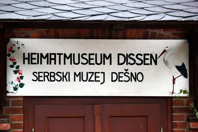
Heimatmuseum Dissen
7.8 kmMuseum
13.7 km · 4 benches
Public toilet
21.5 km245 m
2 public toilets
21.8 km1.4 km · 22 benches
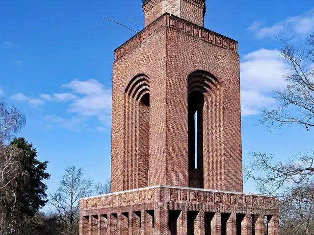
Bismarckturm Burg Spreewald
23.1 kmViewpoint
22.1 km · 15 benches
Public toilet
45.2 km23.4 km · 2 benches
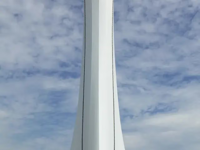
Aussichtsturm Teichland
68.7 km2 public toilets
11.1 km · 4 benches
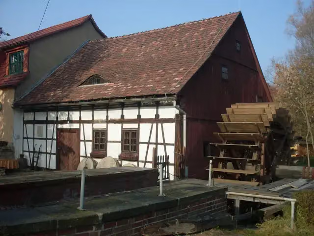
Spreewehrmühle
79.8 kmMuseum
4.5 km · 104 benches
Public toilet
84.2 km358 m · bench
Public toilet
84.6 km1.8 km · 18 benches
Spreebrücke
86.4 kmAttraction
15.5 km · 8 benches
Public toilet
101.9 km33.4 km · 20 benches
Public toilet
135.3 km33.2 km · 15 benches
Water point
168.6 km5.4 km · bench
Water point
173.9 km17.8 km · 9 benches
Public toilet
191.7 km219 m
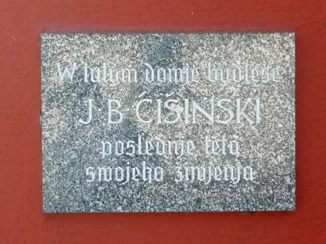
Jakub Bart-Ćišinski
191.9 kmMemorial
617 m · 2 benches
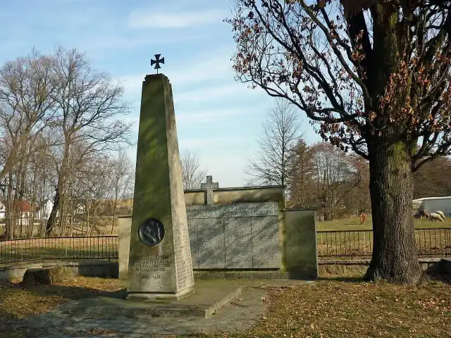
Wojerski pomnik and 1 more
192.6 kmJakub Bart-Ćišinski
2.7 km · bench
Znowazałoženje Domowiny 1945
195.2 kmMemorial
707 m · 7 benches
Pomnik za padnjenych pólskich wojakow 2. swětoweje wójny
196 kmMemorial
40.9 km · 45 benches
Public toilet
236.9 km4.6 km · 3 benches
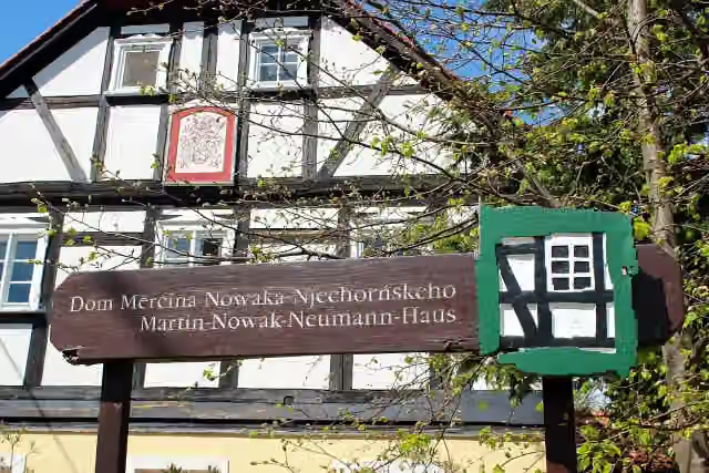
Dom Měrćina Nowaka-Njechorńskeho
241.5 kmMuseum
1.6 km · bench
Wasserschloss Wurschen
243.1 kmCastle
3.2 km · 4 benches
Cannewitzer Schanze
246.3 kmArchaeological site
11.2 km · 9 benches
Public toilet
257.5 km3.9 km · 9 benches
2 public toilets
261.4 km16.6 km · 15 benches
Alte Pfefferküchlerei
278 kmPublic toilet
345 m · 7 benches
Finish
278.3 km
Longest stretch without a toilet: 56.4 kmBetween 135.3 km and 191.7 km there is no public toilet within 100 m of the route.
The route with the water points, toilets and sights within 100 m of it.
14 sights along the way
In the order you pass them. With the Outdoor Pitstop app you hear their story on the spot. 6 more along the route are on the map.
i
Photo: Julian Nyča · Wikimedia Commons · CC BY-SA 3.0View the photo on Wikimedia CommonsMuseum · after 7.8 km
i
Photo: Oberlausitzerin64 · Wikimedia Commons · CC BY-SA 4.0View the photo on Wikimedia CommonsViewpoint · after 23.1 km
i
Photo: Muck · Wikimedia Commons · CC BY-SA 4.0View the photo on Wikimedia CommonsObservation tower · after 68.7 km
i
Photo: Tourist Cottbus · Wikimedia Commons · CC BY-SA 3.0View the photo on Wikimedia CommonsMuseum · after 79.8 km
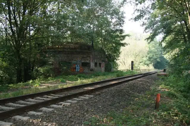
Attraction · after 86.4 km
i
Photo: SchiDD · Wikimedia Commons · CC BY-SA 3.0View the photo on Wikimedia CommonsMemorial · after 191.9 km
i
Photo: SchiDD · Wikimedia Commons · CC BY-SA 3.0View the photo on Wikimedia CommonsMemorial · after 192.6 km
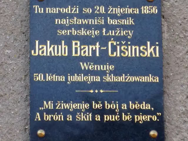
i
Photo: SchiDD · Wikimedia Commons · CC BY-SA 3.0View the photo on Wikimedia CommonsMemorial · after 192.6 km
Stages (4)
Elevation and terrain
- Up
- ↑ 715 m
- Down
- ↓ 730 m
- Highest point
- 206 m
- Lowest point
- 55 m
- 5-10% slope · 214 m
Elevation from Copernicus GLO-30 (European Union and ESA), smoothed.
produced using Copernicus WorldDEM-30 © DLR e.V. 2010-2014 and © Airbus Defence and Space GmbH 2014-2018 provided under COPERNICUS by the European Union and ESA; all rights reserved
Way types
278.3 km in total- Path: 73.1 km
- Road: 67.3 km
- Street: 59.7 km
- Track: 56.7 km
- Busy road: 15.6 km
- Cycle path: 4 km
- Footpath (walk your bike): 1.5 km
Surfaces
278.3 km in total- Asphalt: 208.3 km
- Gravel: 21.6 km
- Paved: 20.3 km
- Unpaved: 9.8 km
- Unknown: 18 km
About the cycle route Sorbische Impressionen
Updated on 14 November 2026, with data from OpenStreetMap, the AHN and Copernicus.
Where do you cycle?
Sorbische Impressionen is a cycle route of 278.3 km that starts in Cottbus - Chóśebuz. It does not end where it starts. Along the way you pass Heimatmuseum Dissen (after 7.8 km), Bismarckturm Burg Spreewald (after 23.1 km) and Aussichtsturm Teichland (after 68.7 km).
How hard is the route?
You climb 715 m in total and descend 730 m. Allow ± 4:40 h per stage, without breaks. Per stage the level is hard.
What roads do you cycle on?
The longest part is path (73.1 km), road (67.3 km) and street (59.7 km). Of the surface, 208.3 km asphalt and 21.6 km gravel. For 18 km the surface is not known.
Pitstops along the way
Within 100 metres of the route there are 333 benches, 2 water fountains and refill points and 16 public toilets. You can fill your bottle after 168.6 km and after 173.9 km. The longest stretch without a toilet is 56.4 km. The Outdoor Pitstop app navigates you there.
Cycle routes nearby
6- Gurkenradweg (Nord- und Ostring)Hard · Circular ride224.7 km
- Niederlausitzer Bergbautour (Niederlausitzer Runde)Hard · From A to B410.4 km
- Fürst-Pückler-WegHard · Circular ride499.3 km
- Spreeradweg [Cottbus↔Lübben]Hard · From A to B70.8 km
- Tour Brandenburg 12Hard · From A to B82.6 km
- Spreeradweg (Zerre-Cottbus)Moderate · From A to B31.7 km
Sights nearby
Within 10 km of the route, best known first.
- 1
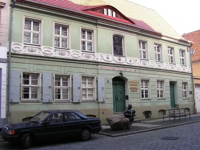 Wendish MuseumMuseum · 534 m from the route
- 2
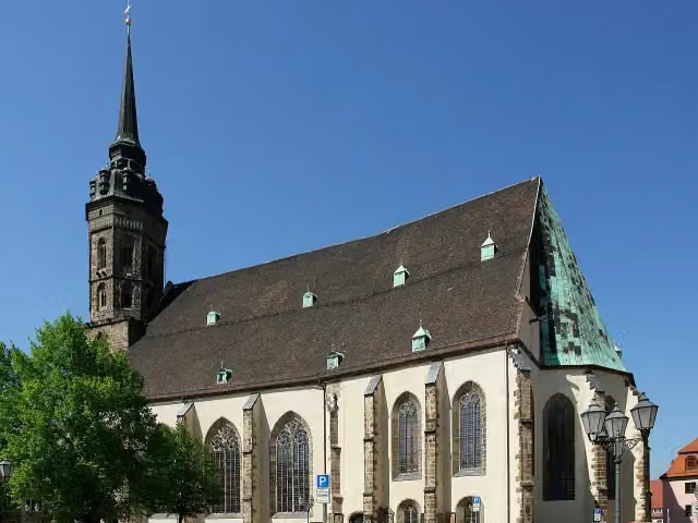 Cathedral of St PeterAttraction · 5.4 km from the route
- 3
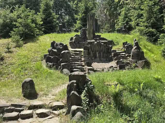 RichterstuhlAttraction · 8.8 km from the route
- 4
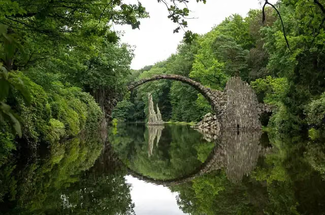 Rhododendron Park KromlauAttraction · 9.3 km from the route
- 5
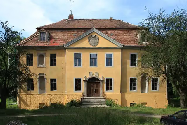 Schloss RadiborCastle · 97 m from the route
- 6
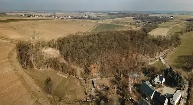 Kopšinjanske hrodźišćoArchaeological site · 1.2 km from the route
- 7
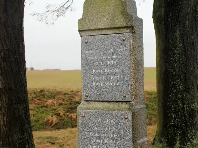 Wojerski pomnikMemorial · 1.3 km from the route
- 8
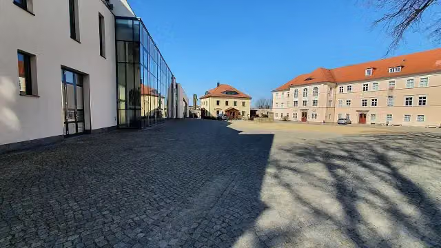 Serbski muzej - Sorbisches MuseumMuseum · 5.5 km from the route
- 9
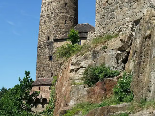 Alte WasserkunstMuseum · 5.7 km from the route
- 10
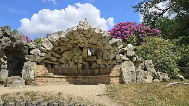 Grotto heaven and hellAttraction · 8.9 km from the route
- 11
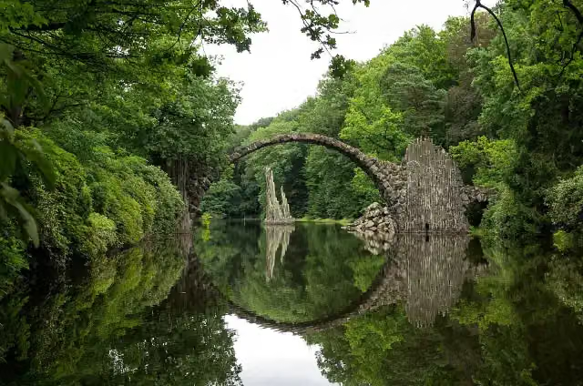 RakotzbrückeAttraction · 9.6 km from the route
- 12
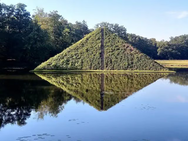 WasserpyramideAttraction · 160 m from the route
- 13
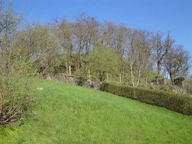 Gröditzer SchanzeArchaeological site · 189 m from the route
- 14
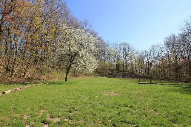 Kukowske hrodźišćoArchaeological site · 209 m from the route
- 15
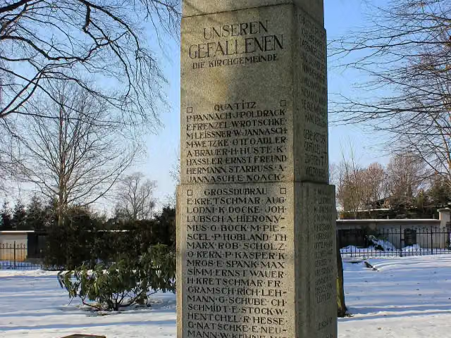 KriegerdenkmalMemorial · 223 m from the route
- 16
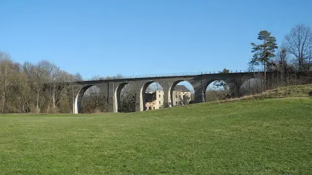 ViaduktAttraction · 234 m from the route
- 17
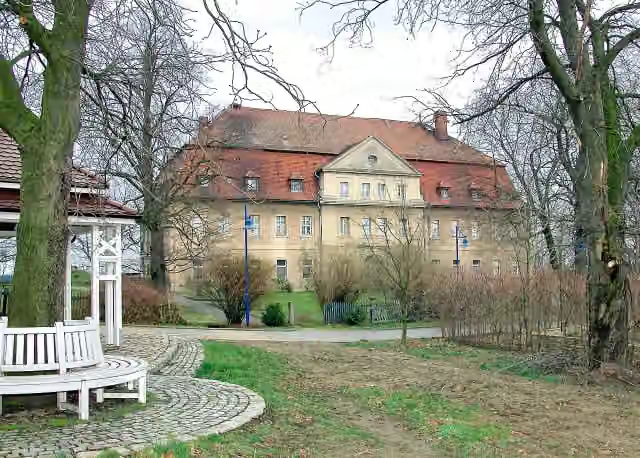 Schloss GröditzCastle · 242 m from the route
- 18
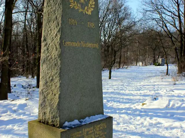 Gedenkstein 1. WeltkriegMemorial · 274 m from the route
- 19
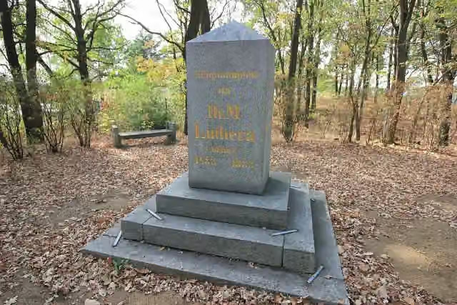 LutherdenkmalMemorial · 326 m from the route
- 20
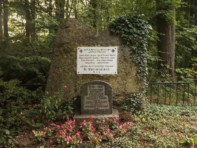 GefallenendenkmalMemorial · 377 m from the route
- 21
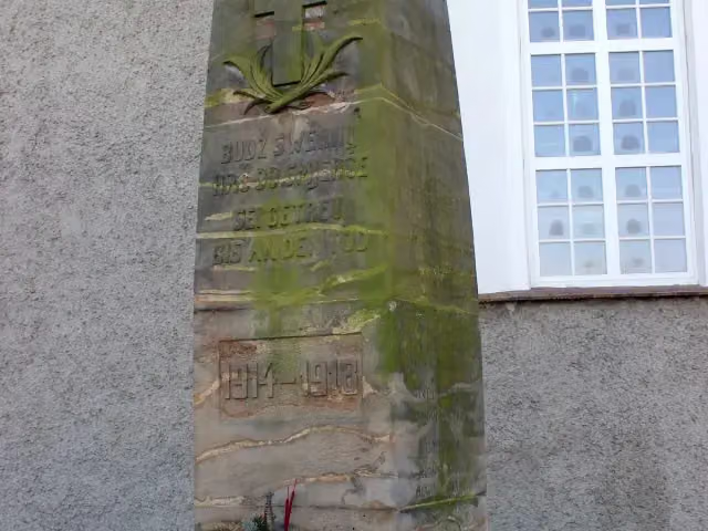 GefallenendenkmalMemorial · 615 m from the route
- 22
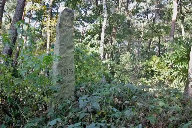 FranzosensteinMemorial · 834 m from the route
- 23
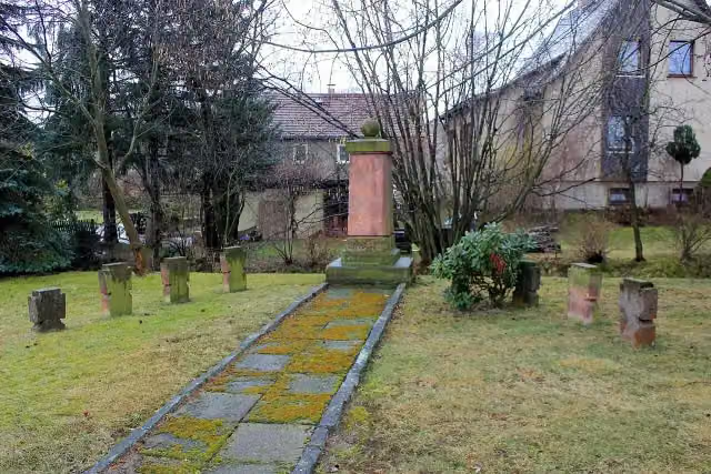 Wojerski pomnik 1914–18Memorial · 834 m from the route
- 24
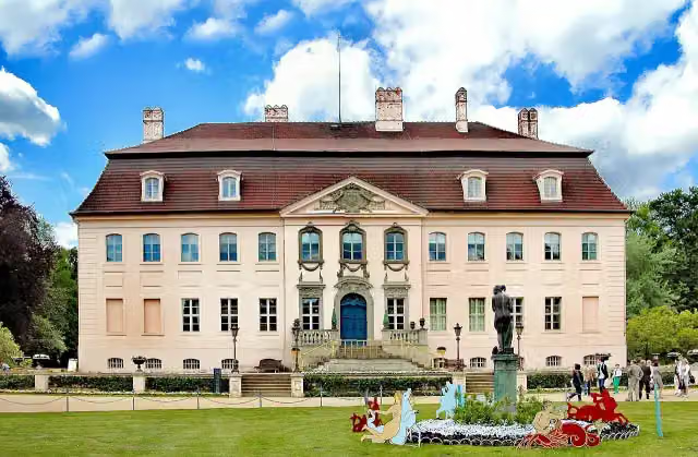 Schloss BranitzMuseum · 842 m from the route
- 25
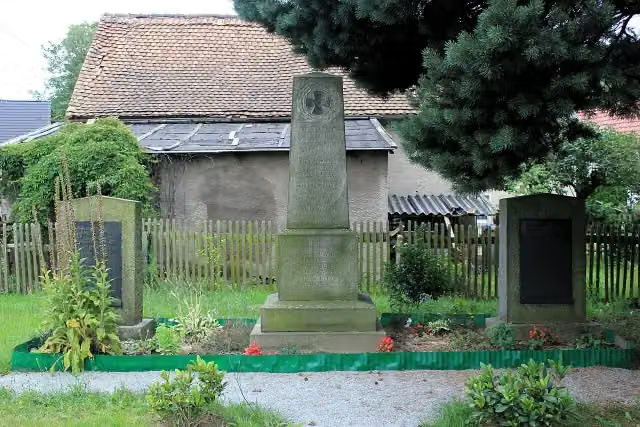 GefallenendenkmalMemorial · 930 m from the route
Explore more
More cycle routes around Cottbus - Chóśebuz
Frequently asked questions
How long is Sorbische Impressionen?
Sorbische Impressionen is 278.3 km long, in 4 stages of 69.6 km on average. Allow ± 4:40 h per stage of riding: 15 km an hour, without breaks.
How many stages does this route have?
The route is split into 4 stages of 69.6 km on average, 278.3 km in all. The shortest stage is 42.7 km, the longest 109.9 km.
Is this route a circular ride?
No, the route starts and ends at different spots.
Where does this route start?
The route starts in Cottbus - Chóśebuz.
How hard is this route?
Hard per stage, with 179 m per stage of climbing.
Are there toilets along this route?
Yes, there are 16 public toilets within 100 m of the route. The longest stretch without a toilet is 56.4 km.
Can you fill up with water along this route?
Yes, there are 2 water fountains and refill points within 100 m of the route.
What is there to see along this route?
Along the way you pass Heimatmuseum Dissen, Bismarckturm Burg Spreewald and Aussichtsturm Teichland.
Which stage of this route has the most points of interest?
Stage 3 (44 km), with 5 points of interest along the route, such as Jakub Bart-Ćišinski, Wojerski pomnik and Jakub Bart-Ćišinski.
Can I download this route as a GPX file?
Yes. Sign in with your Outdoor Pitstop account and choose Download GPX at the top of this page: 10 routes a month for free, unlimited with Pro.
Starting point
More routes from this place
Route data © OpenStreetMap contributors





