 Outdoor Pitstop
Cycle route · Schirgiswalde-Kirschau · Updated on 14 November 2026
Archäologischer Radwanderweg Lausitz cycle route
Archäologischer Radwanderweg Lausitz is a cycle route of 133.6 km from Schirgiswalde-Kirschau. Along the way you'll find 270 benches, 3 public toilets, 1 bike pump and 1 honesty box.
i
i
i
The route step by step
From start to finish, with what you pass along the way and the distance in between.
- 133.6 km
- ± 1:45 h per stage
- ↑ 741 m · ↓ 824 m
- Easy per stage
- From A to B
- Regional route
Pick a stage to see the pitstops per kilometre. Along the way you'll find 270 benches, 3 public toilets, 1 bike pump and 1 honesty box.
Follow these steps in the appThe route with the water points, toilets and sights within 100 m of it.
28 sights along the way
In the order you pass them. With the Outdoor Pitstop app you hear their story on the spot. 20 more along the route are on the map.
i
Photo: Julian Nyča · Wikimedia Commons · CC BY-SA 3.0View the photo on Wikimedia CommonsMemorial
i
Photo: Dr. Bernd Gross · Wikimedia Commons · CC BY-SA 4.0View the photo on Wikimedia CommonsMemorial
Ruins
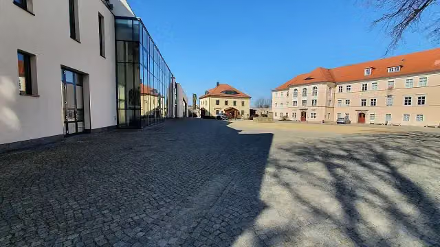
i
Photo: Rigorius · Wikimedia Commons · CC BY-SA 4.0View the photo on Wikimedia CommonsMuseum
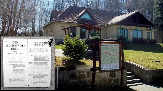
Museum
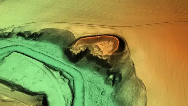
i
Photo: Staatsbetrieb Geobasisinformation und Vermessung Sachsen (GeoSN) · Wikimedia Commons · dl-de/by-2-0View the photo on Wikimedia CommonsArchaeological site
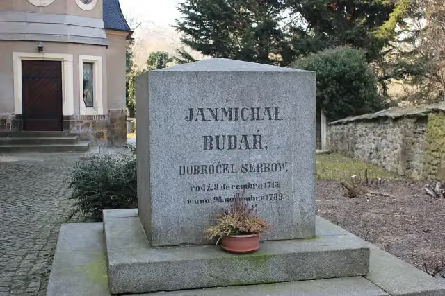
i
Photo: Julian Nyča · Wikimedia Commons · CC BY-SA 3.0View the photo on Wikimedia CommonsMemorial
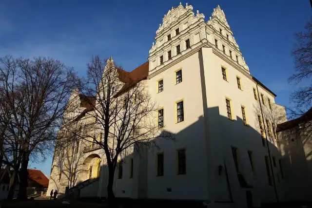
i
Photo: Stephan M. Höhne · Wikimedia Commons · CC BY-SA 3.0View the photo on Wikimedia CommonsCastle
Stages (5)
Elevation and terrain
- Up
- ↑ 741 m
- Down
- ↓ 824 m
- Highest point
- 272 m
- Lowest point
- 127 m
- 5-10% slope · 2.2 km
- 10-15% slope · 428 m
- 15-20% slope · 409 m
Elevation from Copernicus GLO-30 (European Union and ESA), smoothed.
produced using Copernicus WorldDEM-30 © DLR e.V. 2010-2014 and © Airbus Defence and Space GmbH 2014-2018 provided under COPERNICUS by the European Union and ESA; all rights reserved
Way types
133.6 km in total- Road: 50.7 km
- Street: 32.3 km
- Path: 23.1 km
- Track: 18.3 km
- Busy road: 7.8 km
- Footpath (walk your bike): 1.1 km
Surfaces
133.6 km in total- Asphalt: 99.5 km
- Gravel: 14.9 km
- Paved: 12.8 km
- Unpaved: 2.1 km
- Unknown: 4 km
About the cycle route Archäologischer Radwanderweg Lausitz
Updated on 14 November 2026, with data from OpenStreetMap, the AHN and Copernicus.
Where do you cycle?
Archäologischer Radwanderweg Lausitz is a cycle route of 133.6 km that starts in Schirgiswalde-Kirschau. It does not end where it starts.
How hard is the route?
You climb 741 m in total and descend 824 m. Allow ± 1:45 h per stage, without breaks. Per stage the level is easy.
What roads do you cycle on?
The longest part is road (50.7 km), street (32.3 km) and path (23.1 km). Of the surface, 99.5 km asphalt and 14.9 km gravel. For 4 km the surface is not known.
Pitstops along the way
Within 100 metres of the route there are 270 benches, 3 public toilets, 1 bike pump and 1 honesty box. The Outdoor Pitstop app navigates you there.
Cycle routes nearby
4Sights nearby
Within 10 km of the route, best known first.
- 1
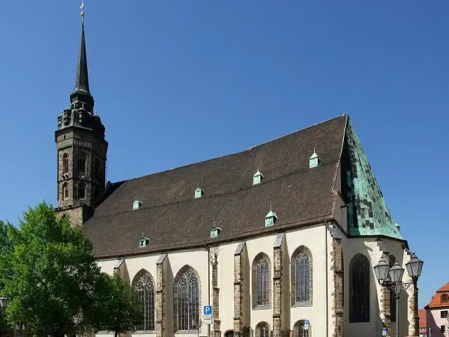 Cathedral of St PeterAttraction · 155 m from the route
- 2
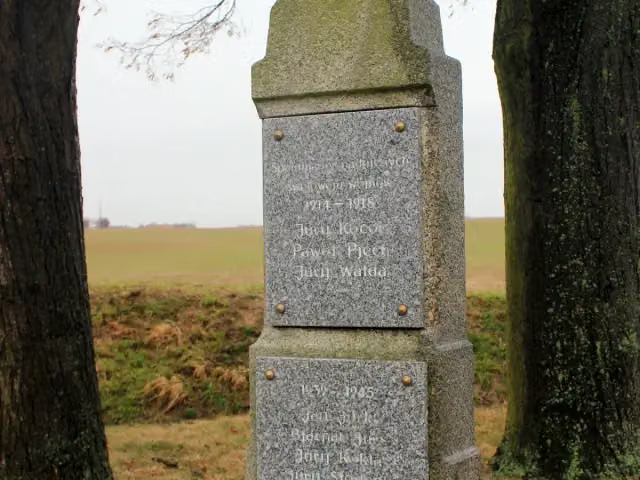 Wojerski pomnikMemorial · 1.1 km from the route
- 3
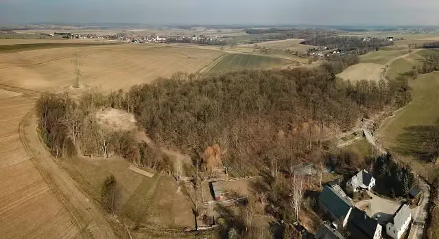 Kopšinjanske hrodźišćoArchaeological site · 1.1 km from the route
- 4
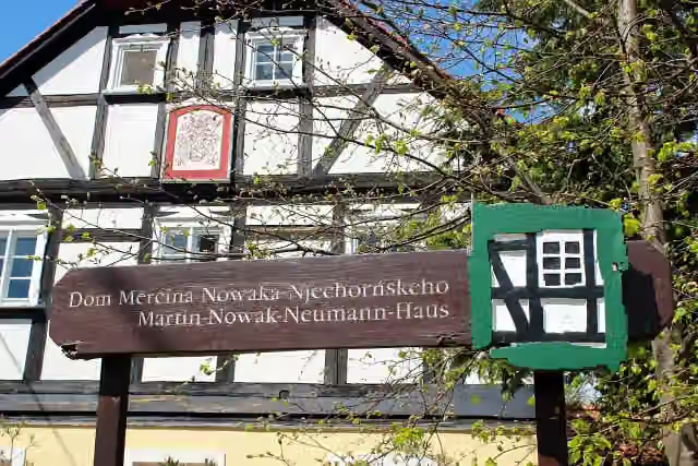 Dom Měrćina Nowaka-NjechorńskehoMuseum · 2.9 km from the route
- 5
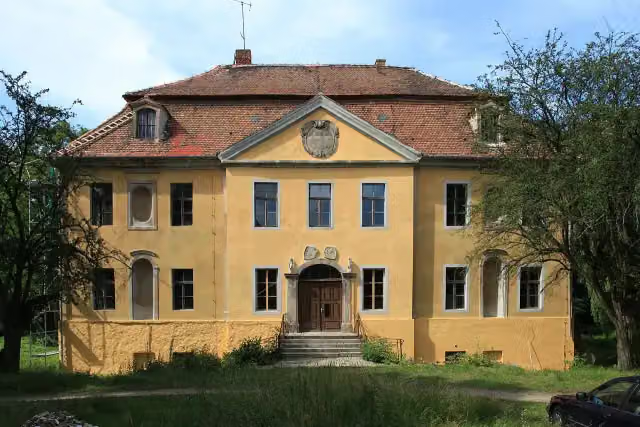 Schloss RadiborCastle · 4.2 km from the route
- 6
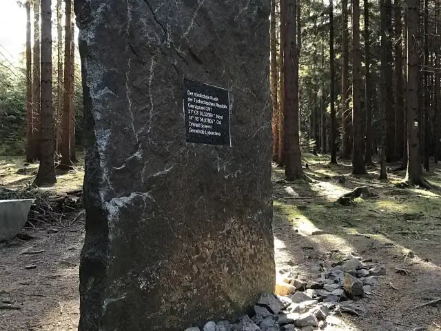 Nejsevernější bod České republikyAttraction · 9 km from the route
- 7
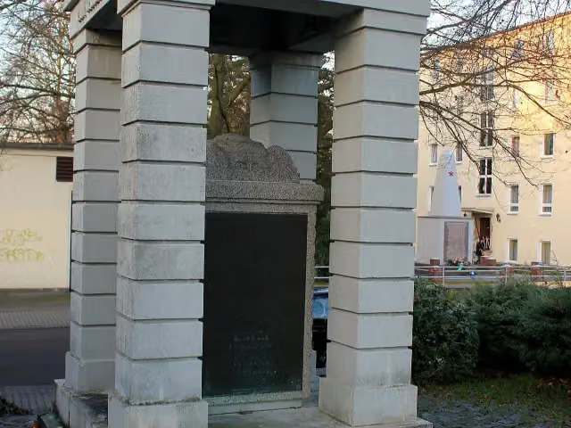 Gefallenendenkmal 1914–18Memorial · 143 m from the route
- 8
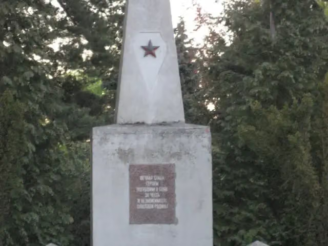 Sowjetisches EhrenmalMemorial · 163 m from the route
- 9
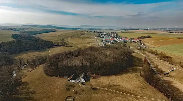 Ostroer SchanzeAttraction · 167 m from the route
- 10
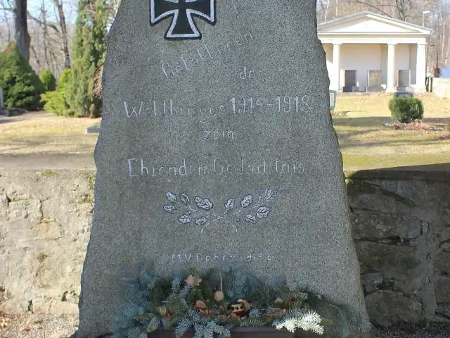 GefallenendenkmalMemorial · 178 m from the route
- 11
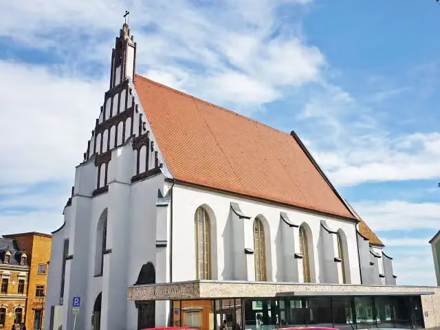 Klosterkirche und Sakralmuseum St. AnnenMuseum · 190 m from the route
- 12
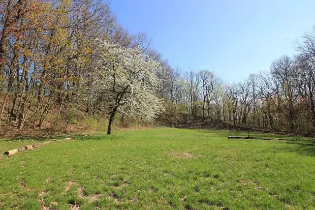 Kukowske hrodźišćoArchaeological site · 209 m from the route
- 13
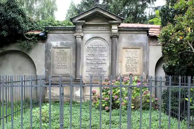 Denkmal für Jan Arnošt SmolerMemorial · 239 m from the route
- 14
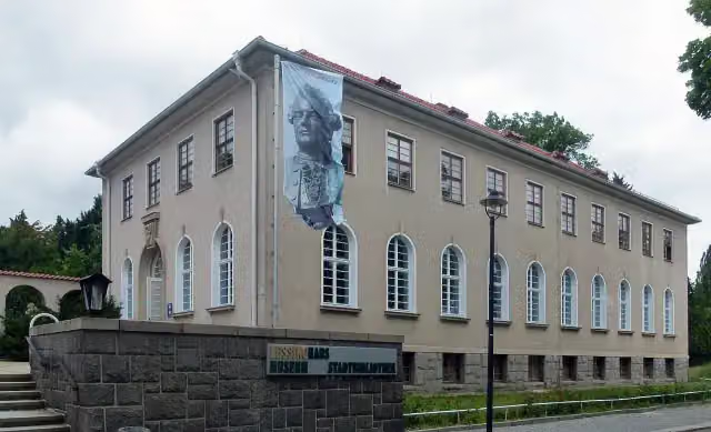 Lessing-MuseumMuseum · 254 m from the route
- 15
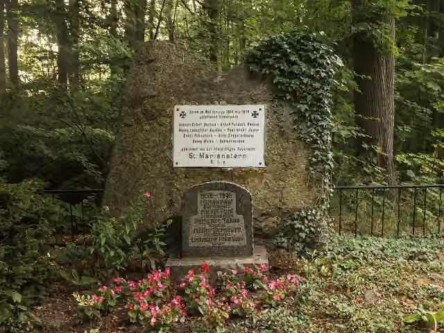 GefallenendenkmalMemorial · 265 m from the route
- 16
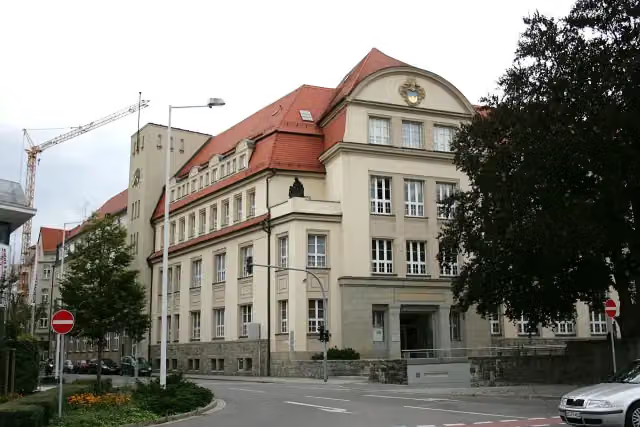 Museum BautzenMuseum · 320 m from the route
- 17
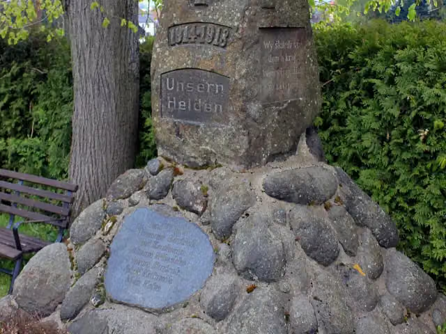 KriegerdenkmalMemorial · 415 m from the route
- 18
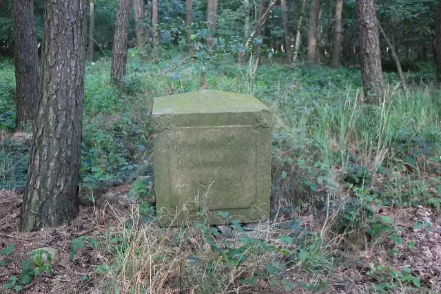 Gedenkstein 1813Memorial · 448 m from the route
- 19
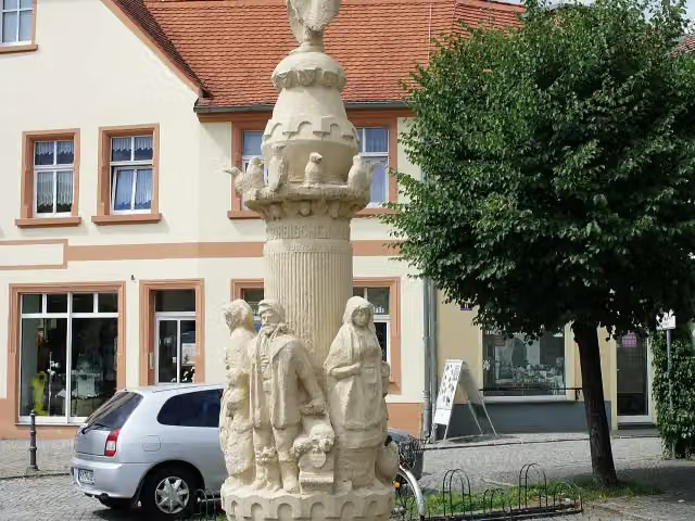 KrabatsäuleMemorial · 495 m from the route
- 20
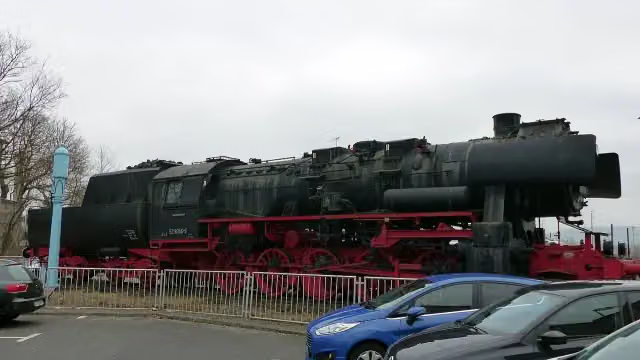 Dampflokomotive 52 8056-5Attraction · 519 m from the route
- 21
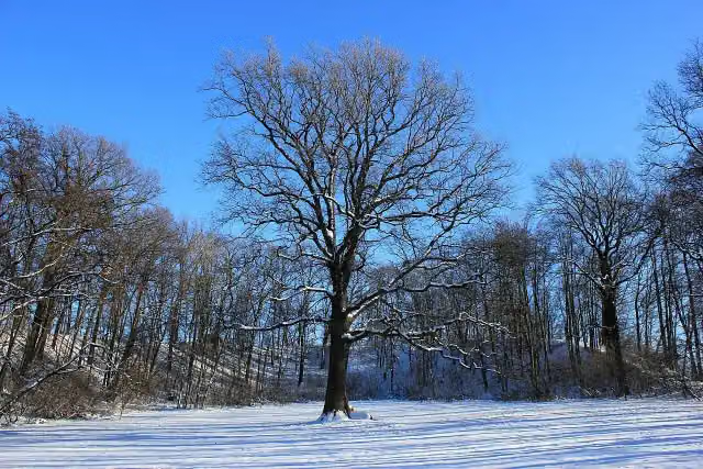 Niethener SchanzeArchaeological site · 550 m from the route
- 22
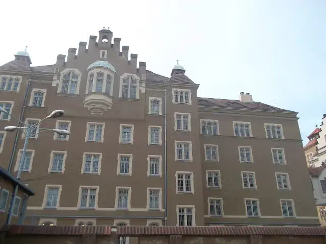 Gedenkstätte BautzenMuseum · 652 m from the route
- 23
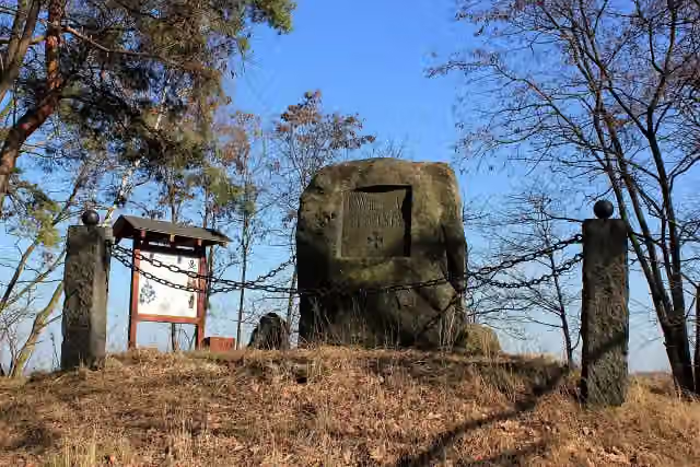 Monarchenhügel 1813Memorial · 687 m from the route
- 24
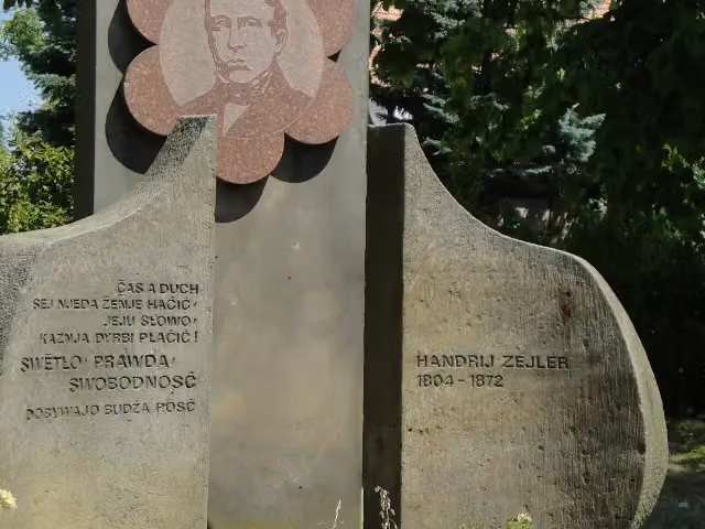 Denkmal für Handrij ZejlerMemorial · 808 m from the route
- 25
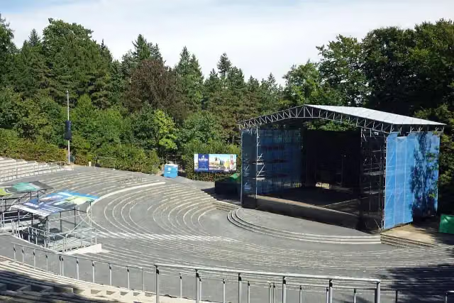 HutbergbühneAttraction · 822 m from the route
Explore more
More cycle routes around Schirgiswalde-Kirschau
Frequently asked questions
How long is Archäologischer Radwanderweg Lausitz?
Archäologischer Radwanderweg Lausitz is 133.6 km long, in 5 parts of 26.7 km on average. Allow ± 1:45 h per part of riding: 15 km an hour, without breaks.
Is this route a circular ride?
No, the route starts and ends at different spots.
Where does this route start?
The route starts in Schirgiswalde-Kirschau.
How hard is this route?
Easy per stage, with 148 m per stage of climbing.
Are there toilets along this route?
Yes, there are 3 public toilets within 100 m of the route.
Can you fill up with water along this route?
No, there is no water point within 100 m of the route. Bring enough water.
What is there to see along this route?
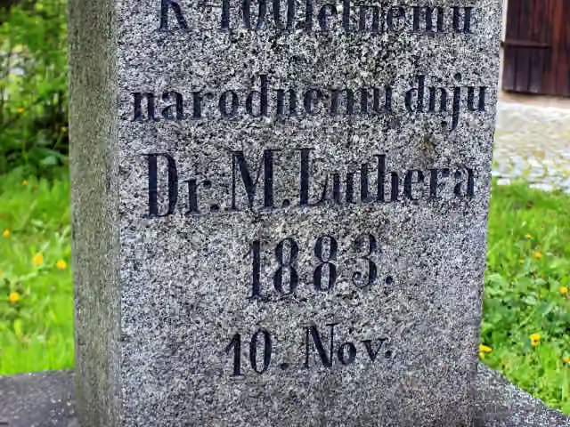
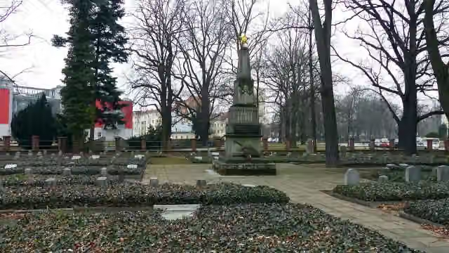
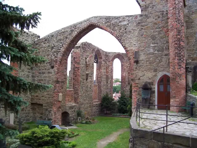
Along the way you pass Lutherstein, Sowjetisches Ehrenmal and Nicolaikirche.
Can I download this route as a GPX file?
Yes. Sign in with your Outdoor Pitstop account and choose Download GPX at the top of this page: 10 routes a month for free, unlimited with Pro.
Starting point
More routes from this place
Route data © OpenStreetMap contributors





