 Outdoor Pitstop
Cycle route · Neiße-Malxetal · Updated on 14 November 2026
[D12] Oder-Neiße-Radweg Sachsen cycle route
[D12] Oder-Neiße-Radweg Sachsen is a cycle route of 119 km from Neiße-Malxetal. Along the way you'll find 318 benches, 1 water point and 5 public toilets.
i
i
i
The route step by step
From start to finish, with what you pass along the way and the distance in between.
- 119 km
- ± 7:55 h
- ↑ 379 m · ↓ 248 m
- Hard
- From A to B
- National route
Start in Neiße-Malxetal
0 km7.2 km · 34 benches
Public toilet
7.2 km303 m · 3 benches
Public toilet
7.5 km3.7 km · 6 benches
Public toilet
11.3 km1.3 km · 2 benches

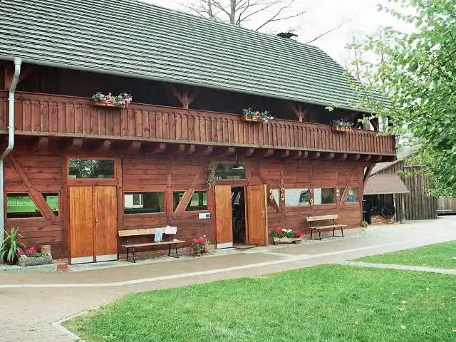
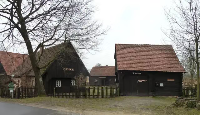
Handwerk- und Gewerbemuseum Sagar
12.6 kmMuseum
61.1 km · 52 benches
Public toilet
73.7 km596 m · 9 benches
Sankt Peter und Paul and 2 more
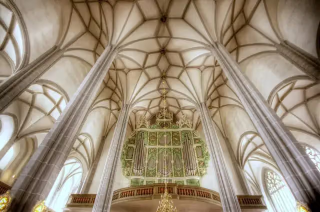
74.3 kmSonnenorgel and Vierradenmühle
1.4 km · 87 benches
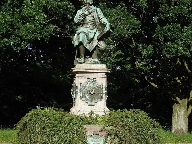
Jakob-Böhme-Denkmal
75.7 kmMemorial
1.9 km · 37 benches
Weinbergturm
77.6 kmObservation tower
17 km · 7 benches
Water point
94.6 km245 m · bench
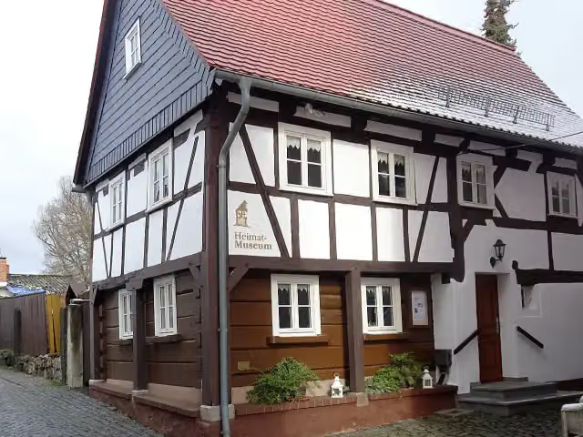
Heimatmuseum Ostritz
94.8 kmMuseum
2.1 km · 16 benches
Public toilet
96.9 km22 km · 64 benches
Finish
119 km
Longest stretch without a toilet: 62.4 kmBetween 11.3 km and 73.7 km there is no public toilet within 100 m of the route.
The route with the pitstops and sights within 100 m of it.
7 sights along the way
In the order you pass them. With the Outdoor Pitstop app you hear their story on the spot.
i
Photo: Dguendel · Wikimedia Commons · CC BY 4.0View the photo on Wikimedia CommonsMuseum · after 12.6 km
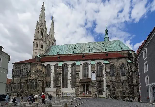
i
Photo: ErwinMeier · Wikimedia Commons · CC BY-SA 4.0View the photo on Wikimedia CommonsAttraction · after 74.3 km
i
Photo: Till Krech from Berlin, Germany · Wikimedia Commons · CC BY 2.0View the photo on Wikimedia CommonsAttraction · after 74.3 km
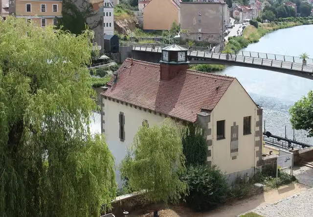
i
Photo: Dguendel · Wikimedia Commons · CC BY 3.0View the photo on Wikimedia CommonsAttraction · after 74.3 km
i
Photo: Südstädter · Wikimedia Commons · CC BY-SA 3.0View the photo on Wikimedia CommonsMemorial · after 75.7 km

Observation tower · after 77.6 km
i
Photo: Cieslak Jürgen · Wikimedia Commons · CC BY-SA 3.0View the photo on Wikimedia CommonsMuseum · after 94.8 km
Elevation and terrain
- Up
- ↑ 379 m
- Down
- ↓ 248 m
- Highest point
- 253 m
- Lowest point
- 106 m
Nowhere steeper than 5%.
Elevation from Copernicus GLO-30 (European Union and ESA), smoothed.
produced using Copernicus WorldDEM-30 © DLR e.V. 2010-2014 and © Airbus Defence and Space GmbH 2014-2018 provided under COPERNICUS by the European Union and ESA; all rights reserved
Way types
119 km in total- Path: 35.1 km
- Cycle path: 34.6 km
- Street: 30.8 km
- Track: 7.7 km
- Busy road: 5 km
- Road: 4.5 km
- Footpath (walk your bike): 1 km
Surfaces
119 km in total- Asphalt: 111 km
- Paved: 5.4 km
- Gravel: 1.8 km
- Unpaved: 175 m
- Natural: 175 m
- Unknown: 175 m
About the cycle route [D12] Oder-Neiße-Radweg Sachsen
Updated on 14 November 2026, with data from OpenStreetMap, the AHN and Copernicus.
Where do you cycle?
[D12] Oder-Neiße-Radweg Sachsen is a cycle route of 119 km that starts in Neiße-Malxetal. It does not end where it starts. Along the way you pass Handwerk- und Gewerbemuseum Sagar (after 12.6 km), Sankt Peter und Paul (after 74.3 km) and Sonnenorgel (after 74.3 km).
How hard is the route?
You climb 379 m in total and descend 248 m. Allow ± 7:55 h, without breaks. The level is hard.
What roads do you cycle on?
The longest part is path (35.1 km), cycle path (34.6 km) and street (30.8 km). Of the surface, 111 km asphalt and 5.4 km paved. For 175 m the surface is not known.
Pitstops along the way
Within 100 metres of the route there are 318 benches, 1 water point and 5 public toilets. You can fill your bottle after 94.6 km. The longest stretch without a toilet is 62.4 km. The Outdoor Pitstop app navigates you there.
Part of D12 Oder-Neiße-Radweg
Cycle routes nearby
4Sights nearby
Within 10 km of the route, best known first.
- 1
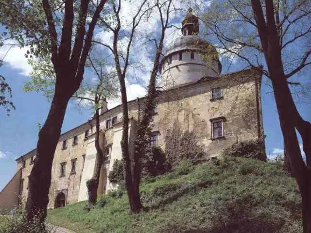 Hrad GrabštejnAttraction · 4.2 km from the route
- 2
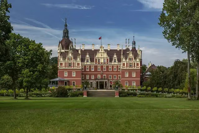 Fürst-Pückler-Schloß - Nowy hród - Nowy ZamekAttraction · 238 m from the route
- 3
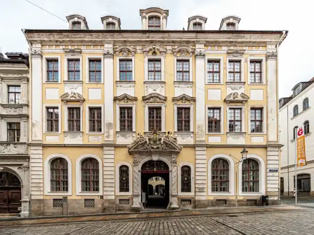 Museum of Cultural History and the Upper Lusatian Scientific LibraryMuseum · 153 m from the route
- 4
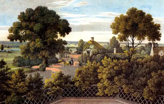 Domek Angielski - ehem. Englisches HausAttraction · 314 m from the route
- 5
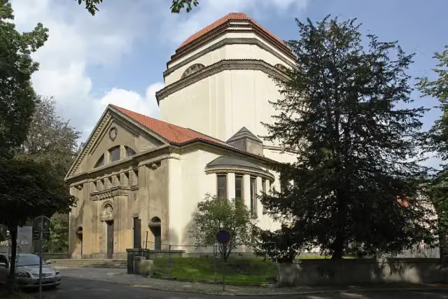 Cultural Centre Synagogue of GoerlitzAttraction · 379 m from the route
- 6
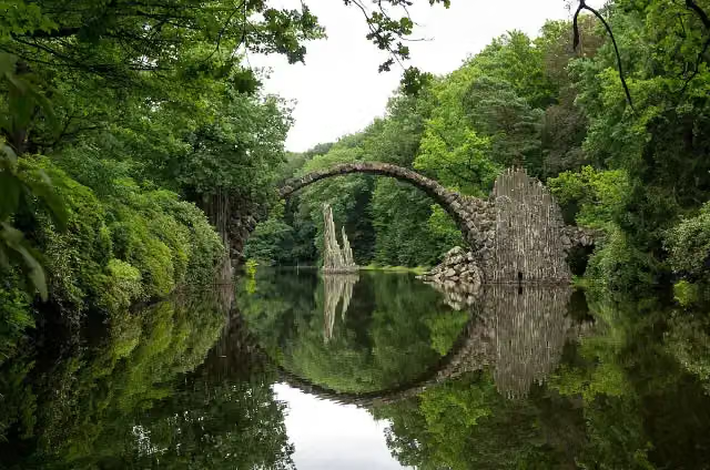 Rhododendron Park KromlauAttraction · 5.6 km from the route
- 7
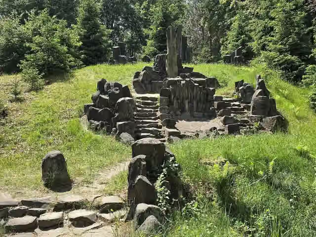 RichterstuhlAttraction · 6.1 km from the route
- 8
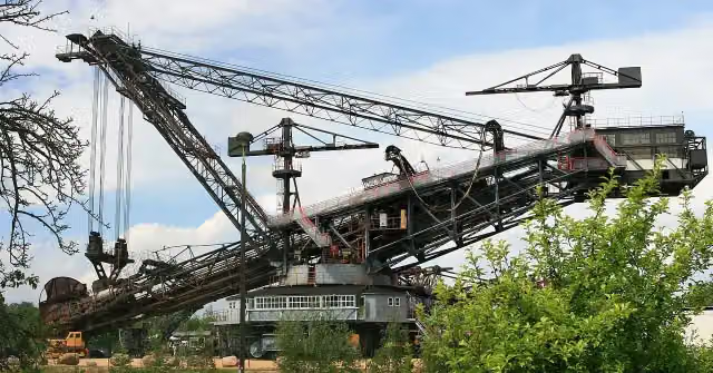 Bagger 1452 - SRS 1200Museum · 177 m from the route
- 9
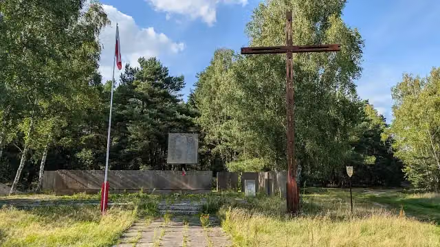 PrędociceRuins · 179 m from the route
- 10
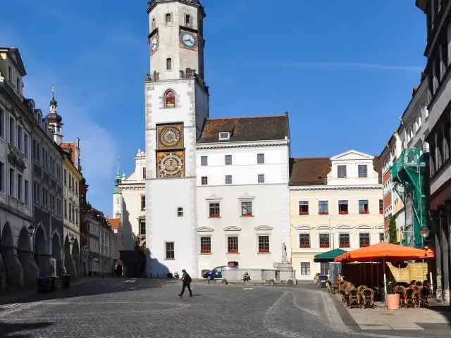 RathausAttraction · 242 m from the route
- 11
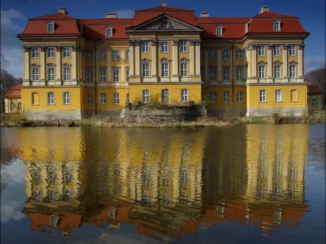 Pałac RadomierzyceAttraction · 519 m from the route
- 12
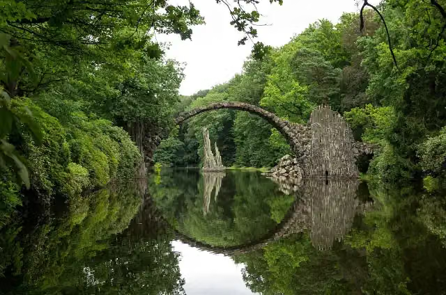 RakotzbrückeAttraction · 5.2 km from the route
- 13
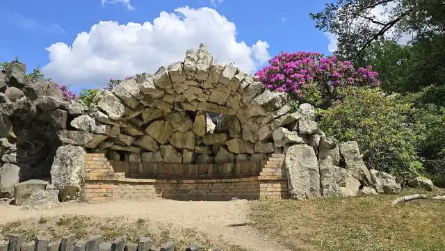 Grotto heaven and hellAttraction · 5.9 km from the route
- 14
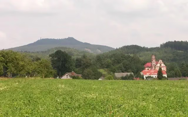 HighwoodViewpoint · 7.6 km from the route
- 15
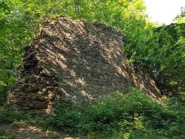 Ruiny zamku RonowAttraction · 271 m from the route
- 16
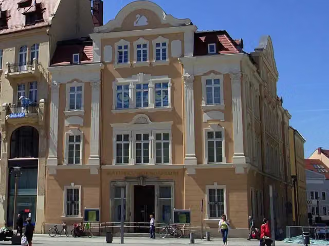 Senckenberg Museum of Natural History GoerlitzMuseum · 616 m from the route
- 17
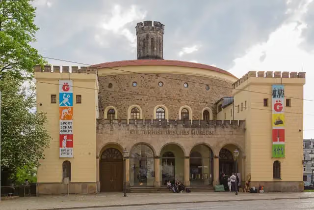 The Imperial StrongholdMuseum · 649 m from the route
- 18
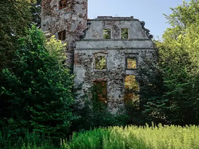 Zamek w JędrzychowicachCastle · 1.2 km from the route
- 19
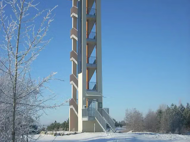 Aussichtsturm "Neuberzdorfer Höhe"Observation tower · 3.8 km from the route
- 20
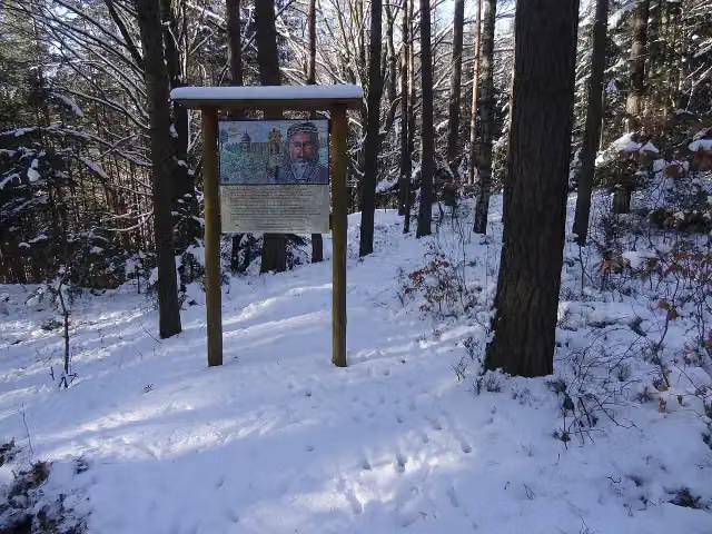 Hradiště LoučnáArchaeological site · 5.2 km from the route
- 21
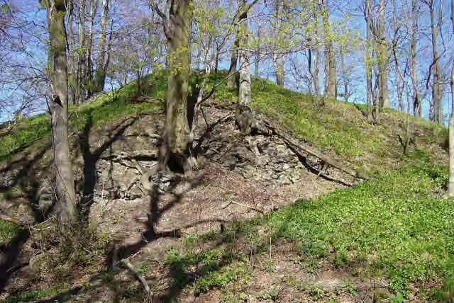 Old Hawk's CastleRuins · 7.5 km from the route
- 22
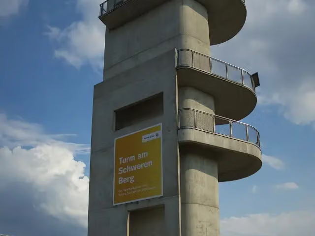 Aussichtsturm am Schweren BergObservation tower · 8.5 km from the route
- 23
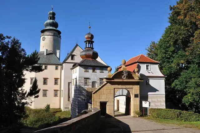 Lemberk CastleCastle · 9.3 km from the route
- 24
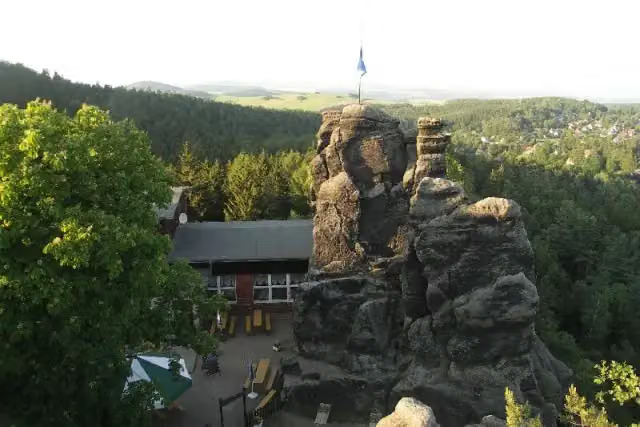 Nun's RockViewpoint · 9.5 km from the route
- 25
 ErlichthofsiedlungMuseum · 9.9 km from the route
Explore more
More cycle routes around Neiße-Malxetal
Frequently asked questions
How long is [D12] Oder-Neiße-Radweg Sachsen?
[D12] Oder-Neiße-Radweg Sachsen is 119 km long. Allow ± 7:55 h of riding: 15 km an hour, without breaks.
Is this route a circular ride?
No, the route starts and ends at different spots.
Where does this route start?
The route starts in Neiße-Malxetal.
How hard is this route?
Hard, with 379 m of climbing.
Are there toilets along this route?
Yes, there are 5 public toilets within 100 m of the route. The longest stretch without a toilet is 62.4 km.
Can you fill up with water along this route?
Yes, there are 1 water point within 100 m of the route.
What is there to see along this route?
Along the way you pass Handwerk- und Gewerbemuseum Sagar, Sankt Peter und Paul and Sonnenorgel.
Can I download this route as a GPX file?
Yes. Sign in with your Outdoor Pitstop account and choose Download GPX at the top of this page: 10 routes a month for free, unlimited with Pro.
Starting point
More routes from this place
Route data © OpenStreetMap contributors





